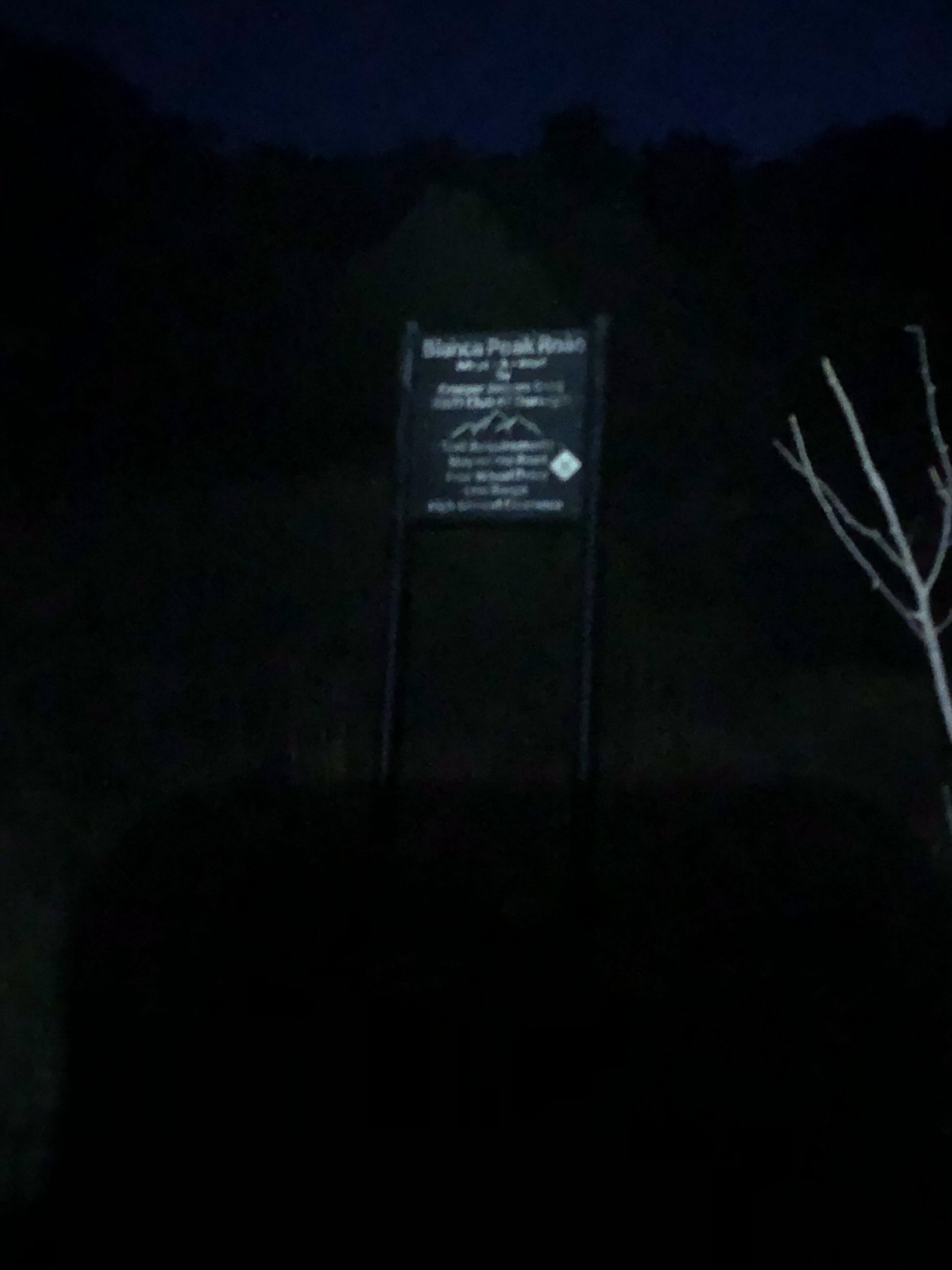
Blanca Peak and Ellingwood Point
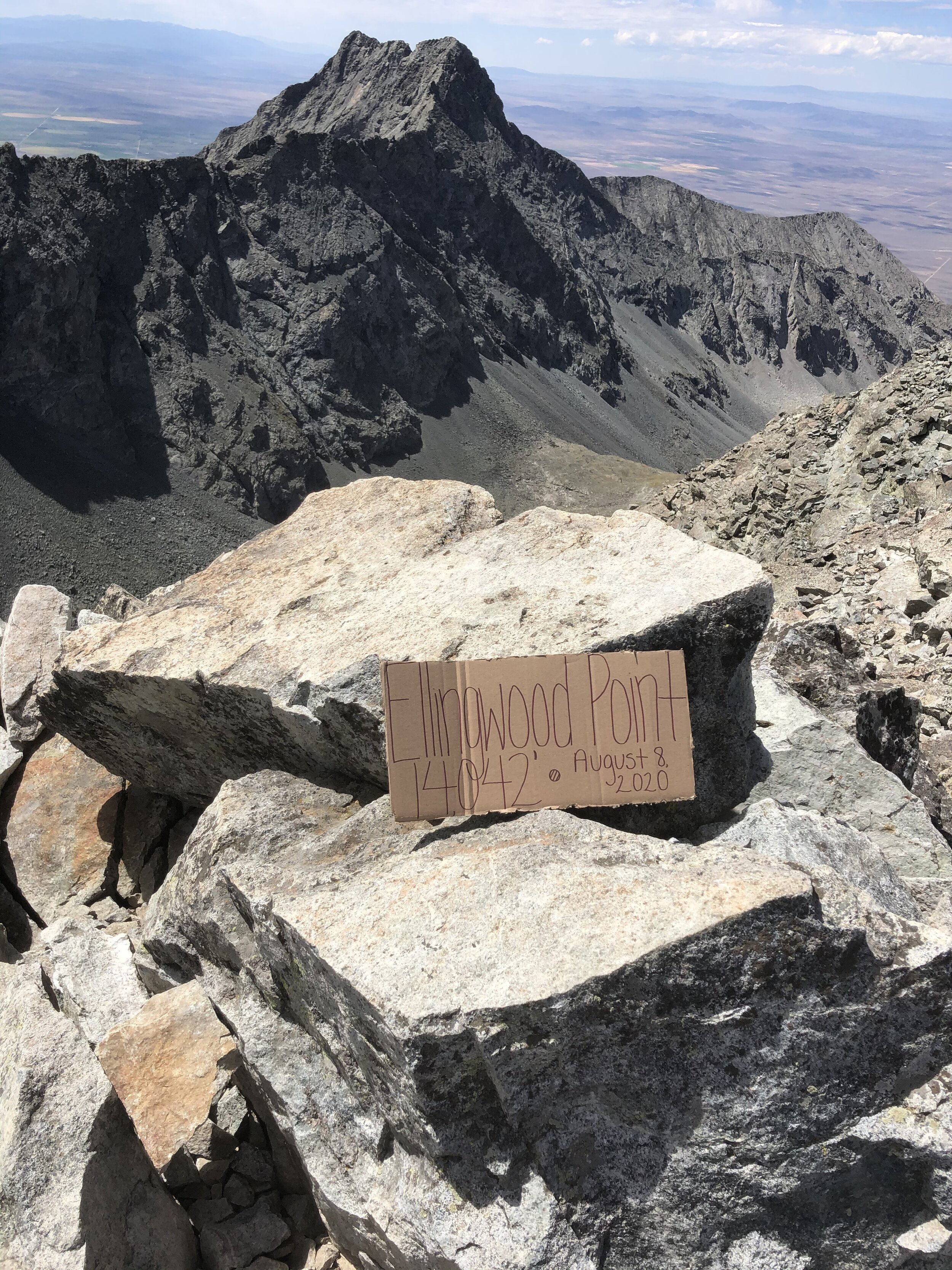
August 8, 2020 / 14,345’ (Blanca) & 14,042’ (Ellingwood)
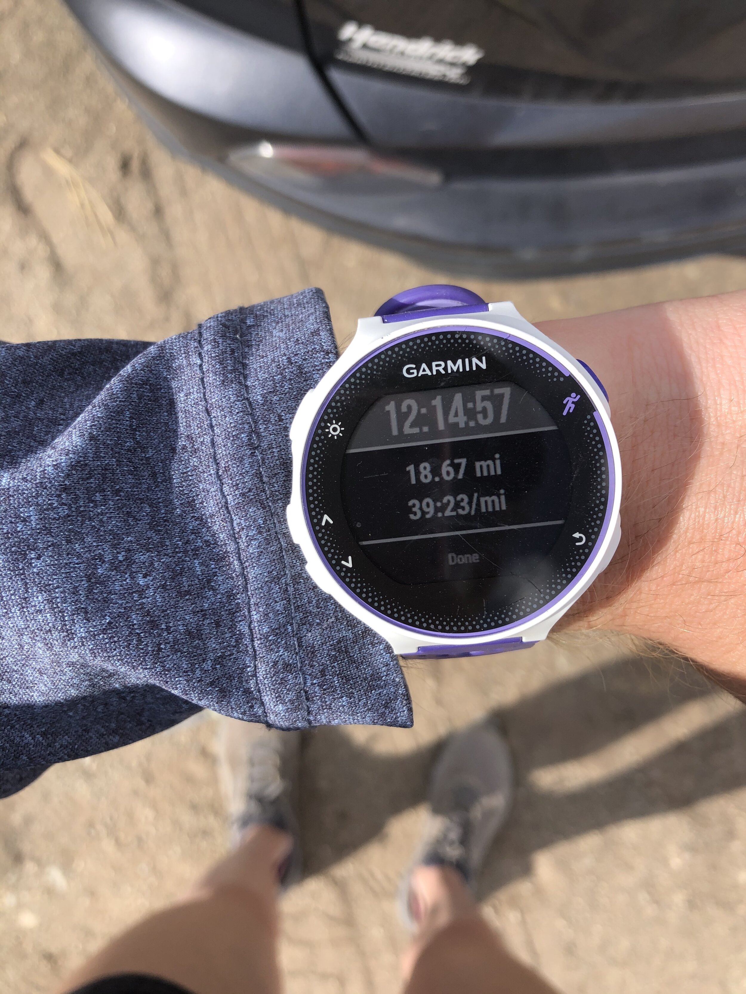
RT STATS: TOTAL TIME - 12 HR & 17 MIN, 18.67 MILES, AND 6,889’ ELEVATION GAIN
TIME STATS: 5 HR & 32 MIN FROM BOTTOM OF LAKE COMO ROAD TO Blanca, 13 MIN AT Blanca SUMMIT, 1 HR & 17 MIN TO Ellingwood, 29 MIN AT Ellingwood SUMMIT, 4 HR & 46 MIN BACK TO BOTTOM OF LAKE COMO ROAD
RATING (HOW MUCH I LIKED THE HIKE): 9/10
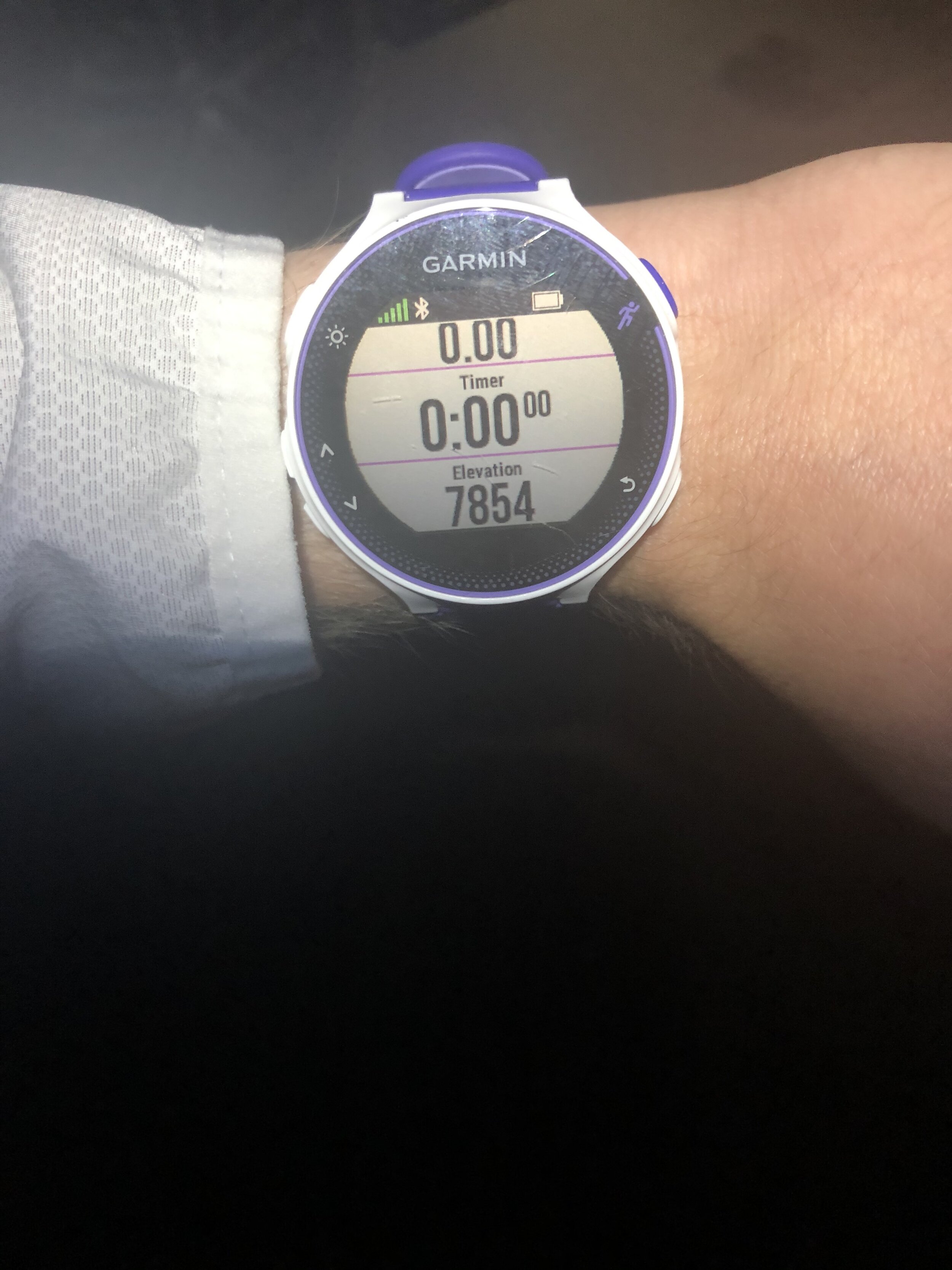
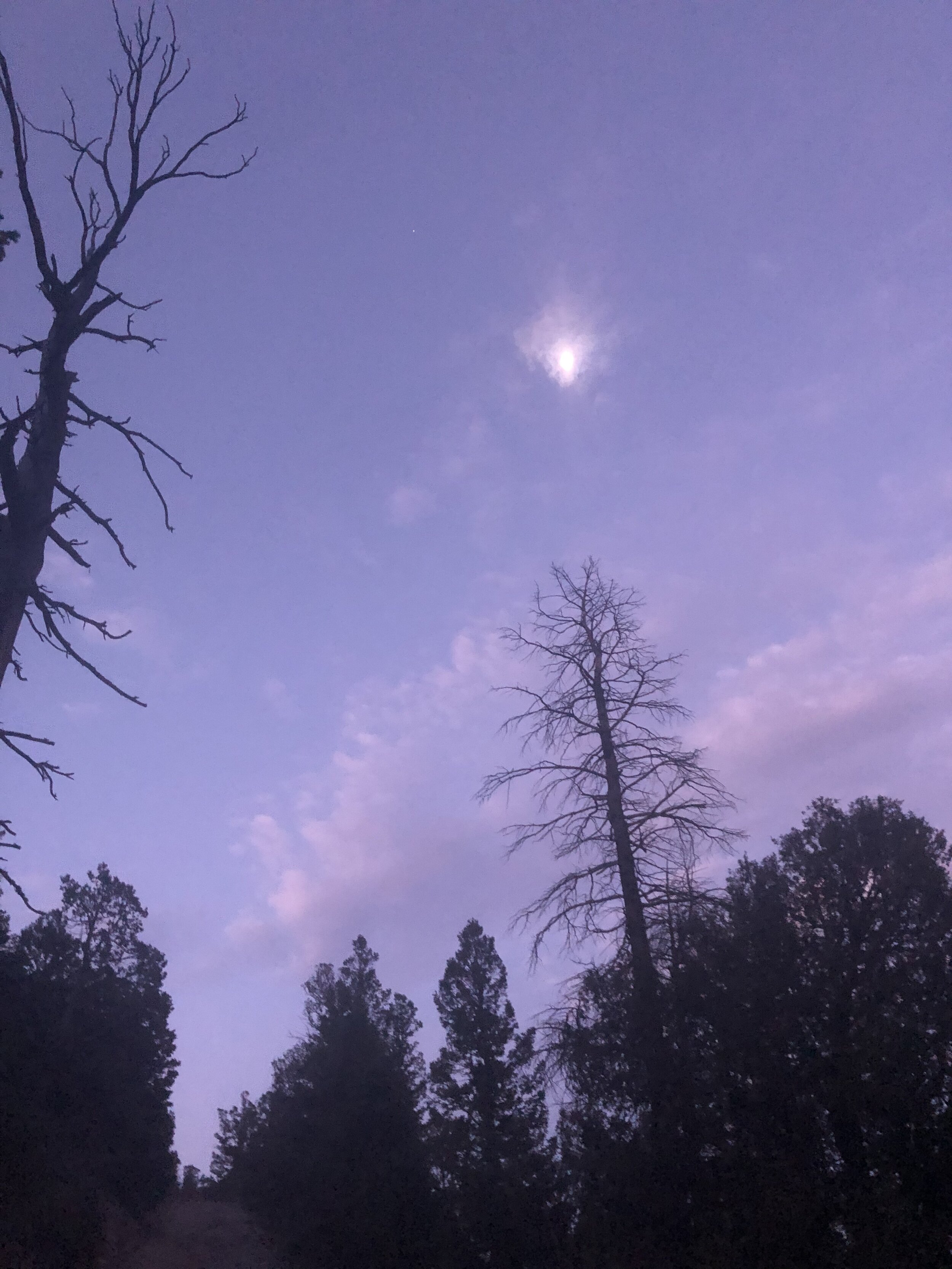
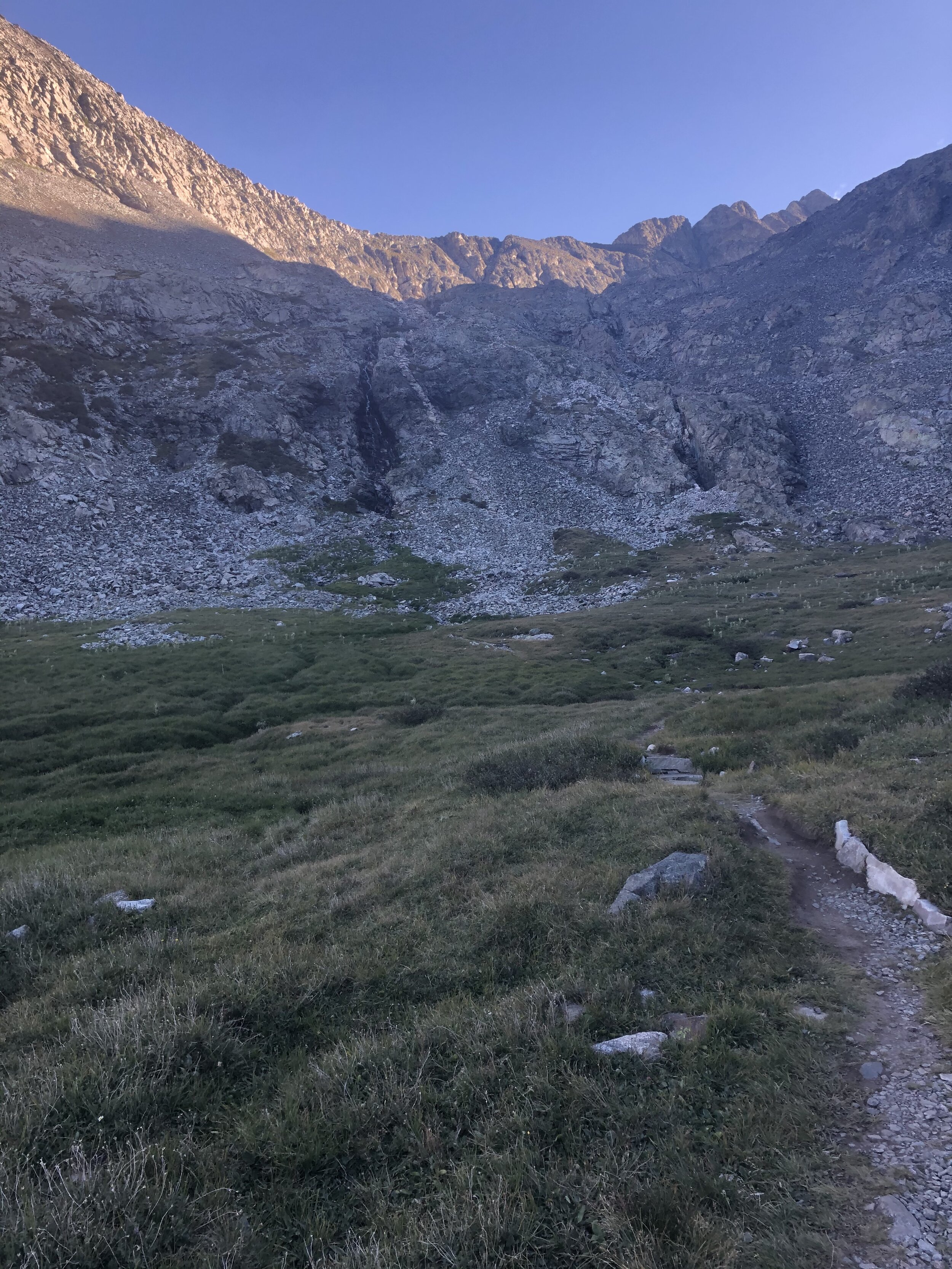
This was my first solo hike in 4 whole weeks to get my 38th and 39th 14ers—Blanca Peak and Ellingwood Point! Back in the Sangre de Cristo Range woo hoo!! I woke up bright and early Saturday morning around 1:20 am and left Colorado Springs at 1:50 am. I estimated that this hike would take me approximately 12 hours (I turned out to be fairly good at estimating this length) so I wanted to start the hike around 4:30 am. The weather looked very nice according to the forecasts so I didn’t think I needed to start a couple hours earlier like I did for Crestone Needle a couple weeks prior to avoid the storms. Anyways, I arrived at the bottom of Lake Como Road around 4:15 am and started my hike at 4:33 am sharp (I know that all of my many readers love these exact details ;) ). My watch measured the bottom of the road at approximately 7,850’ elevation. I didn’t take many pictures the first hour or so of the hike because it was dark.
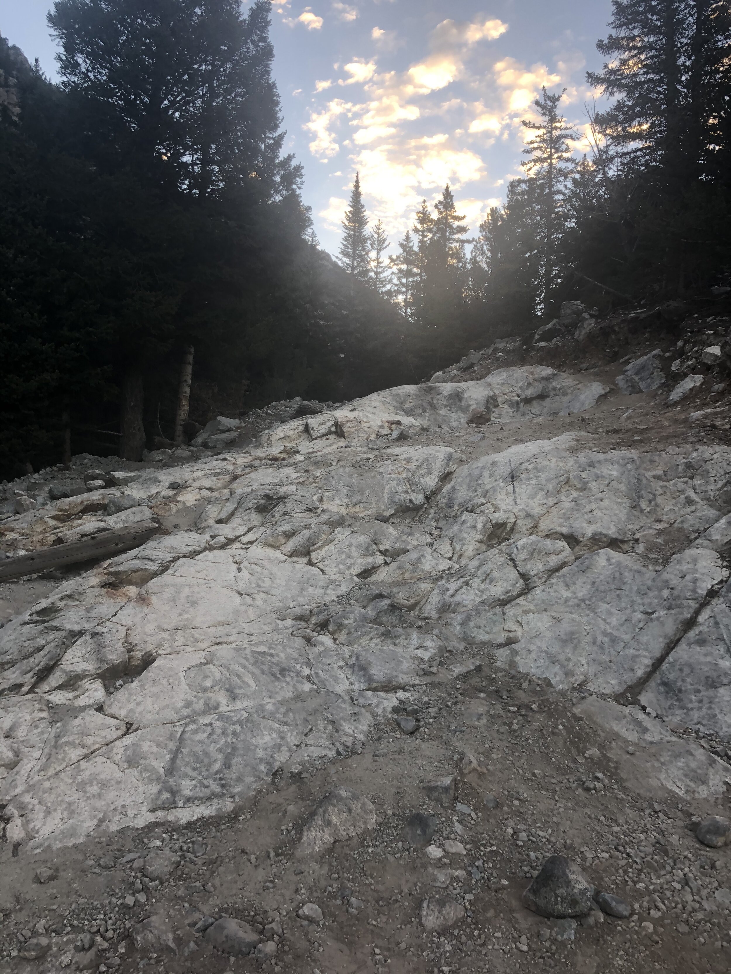
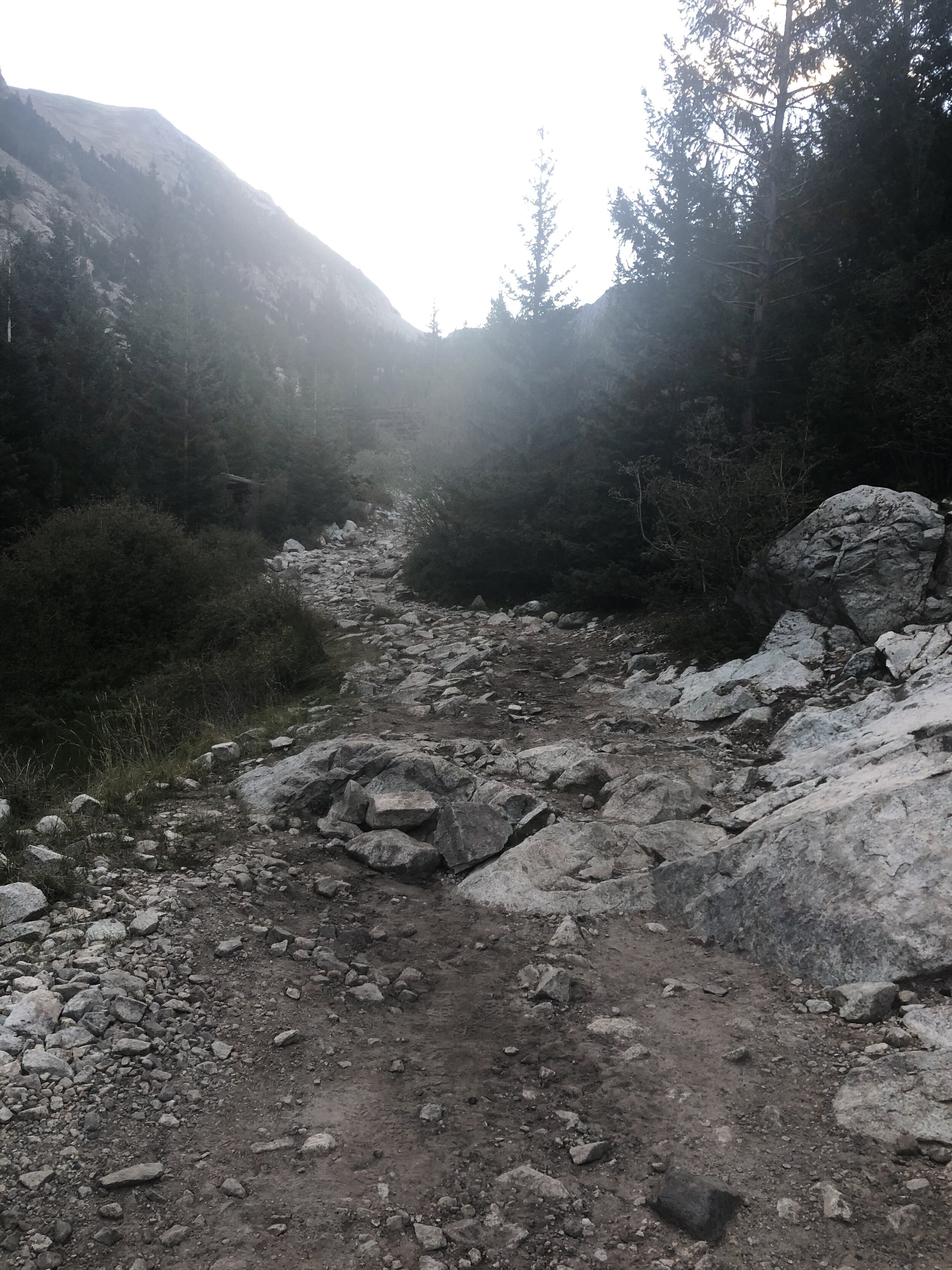
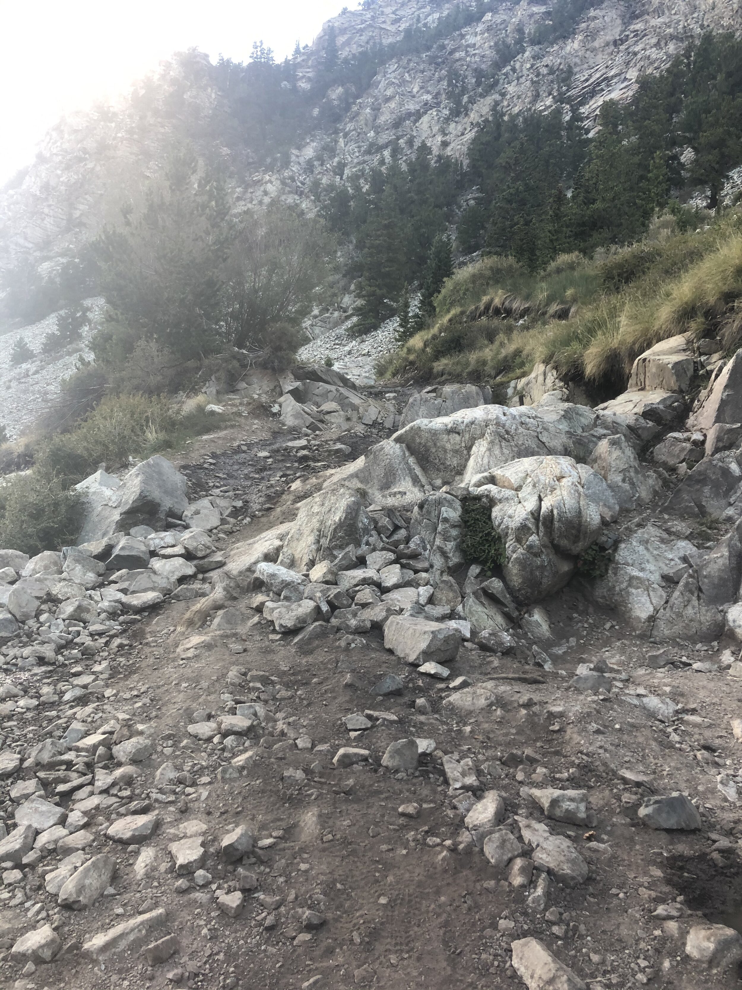
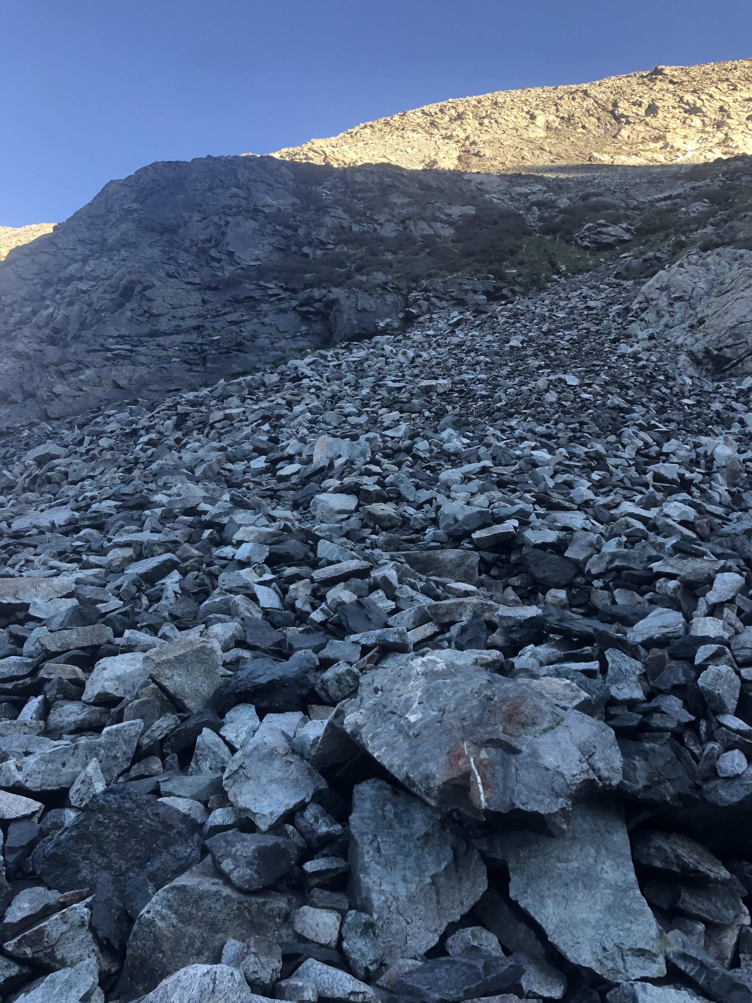
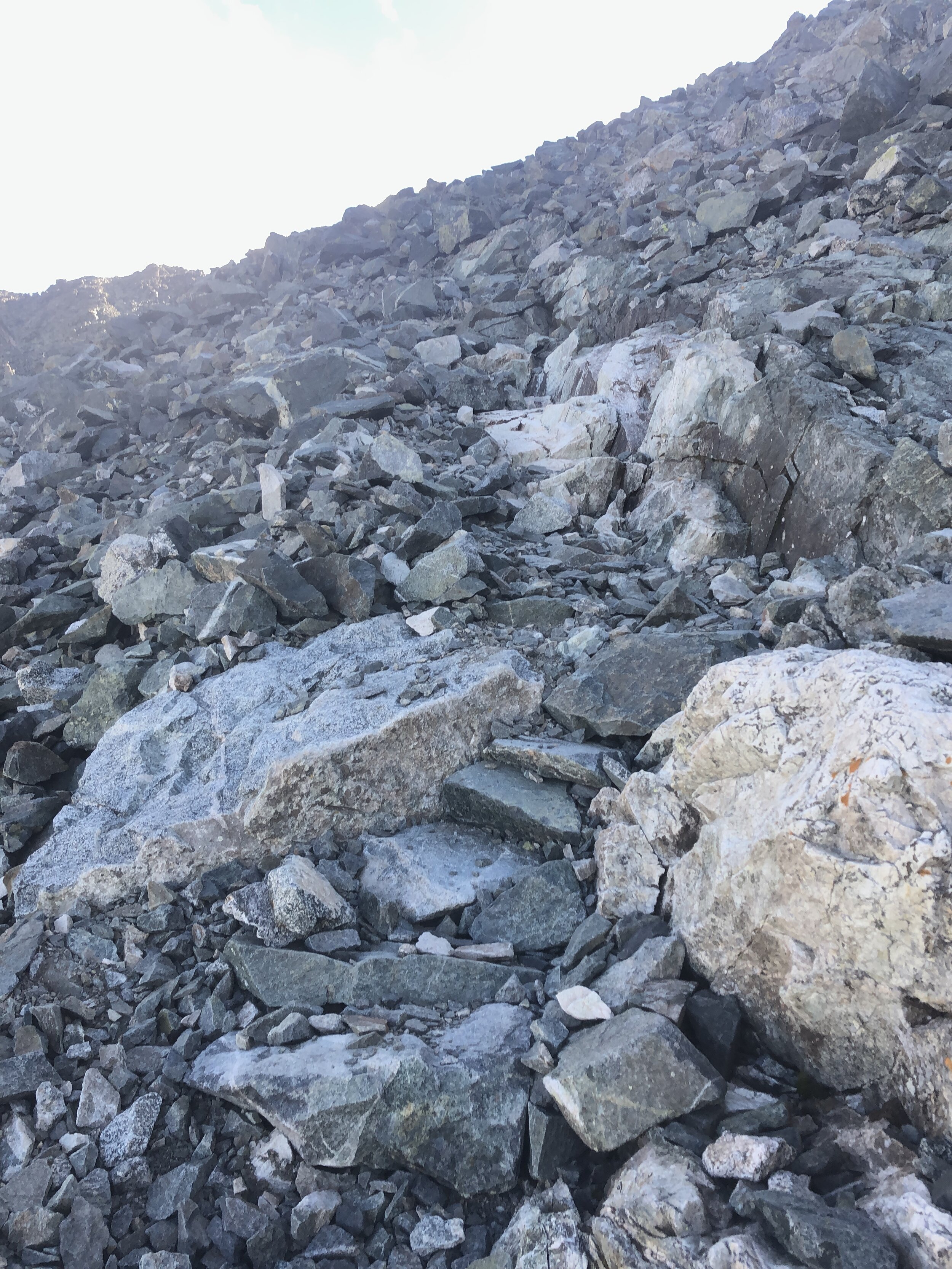
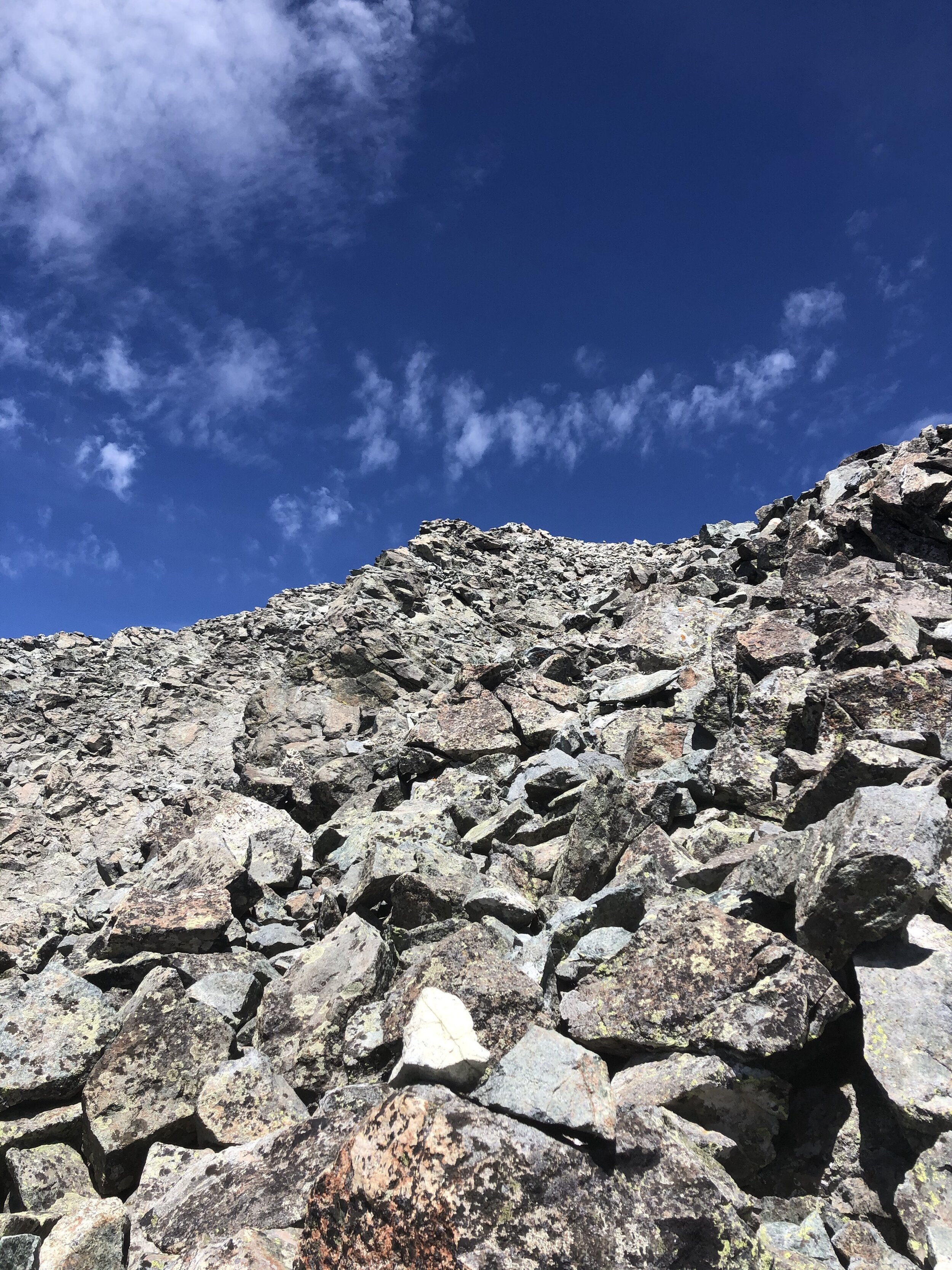
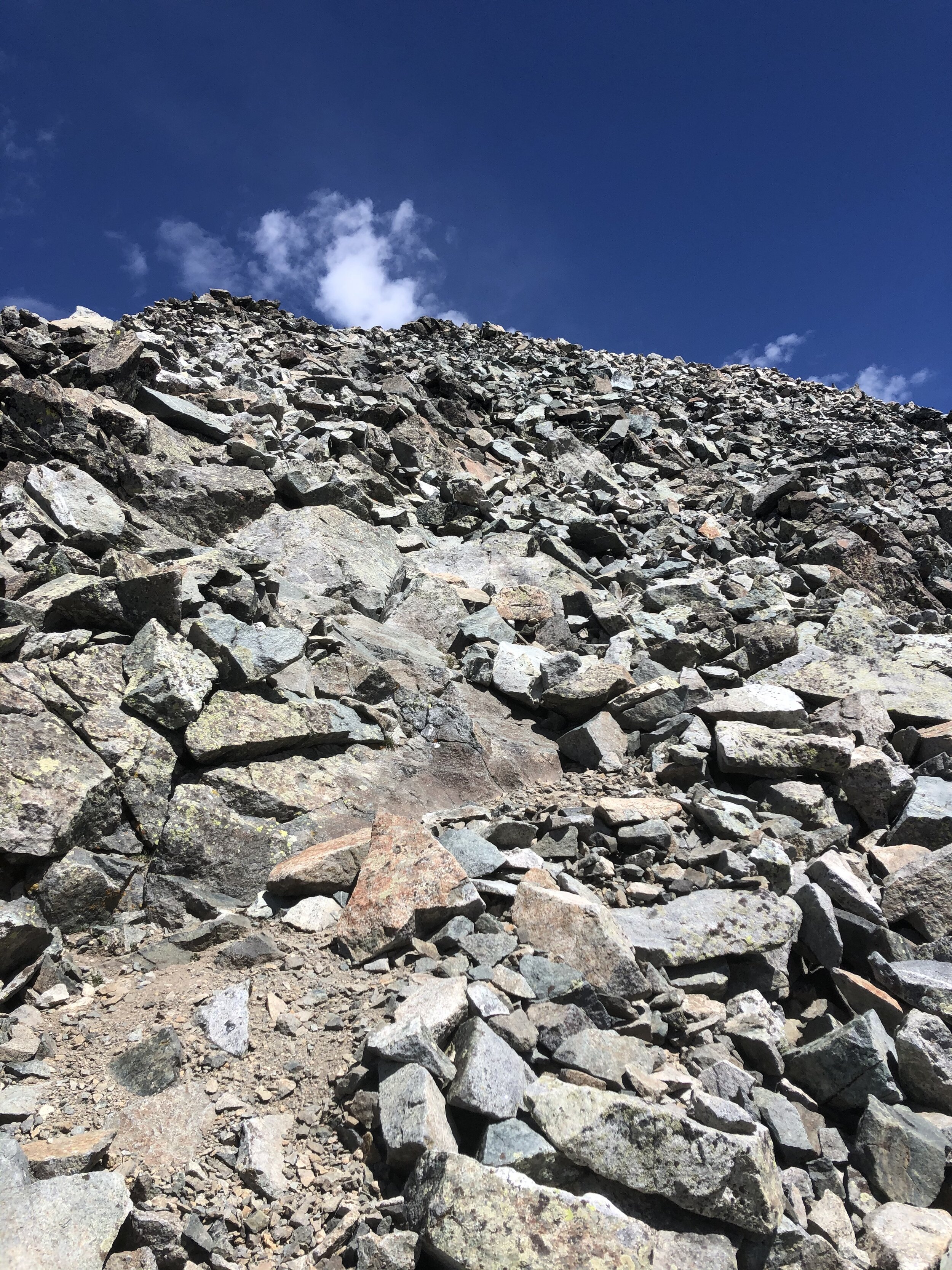
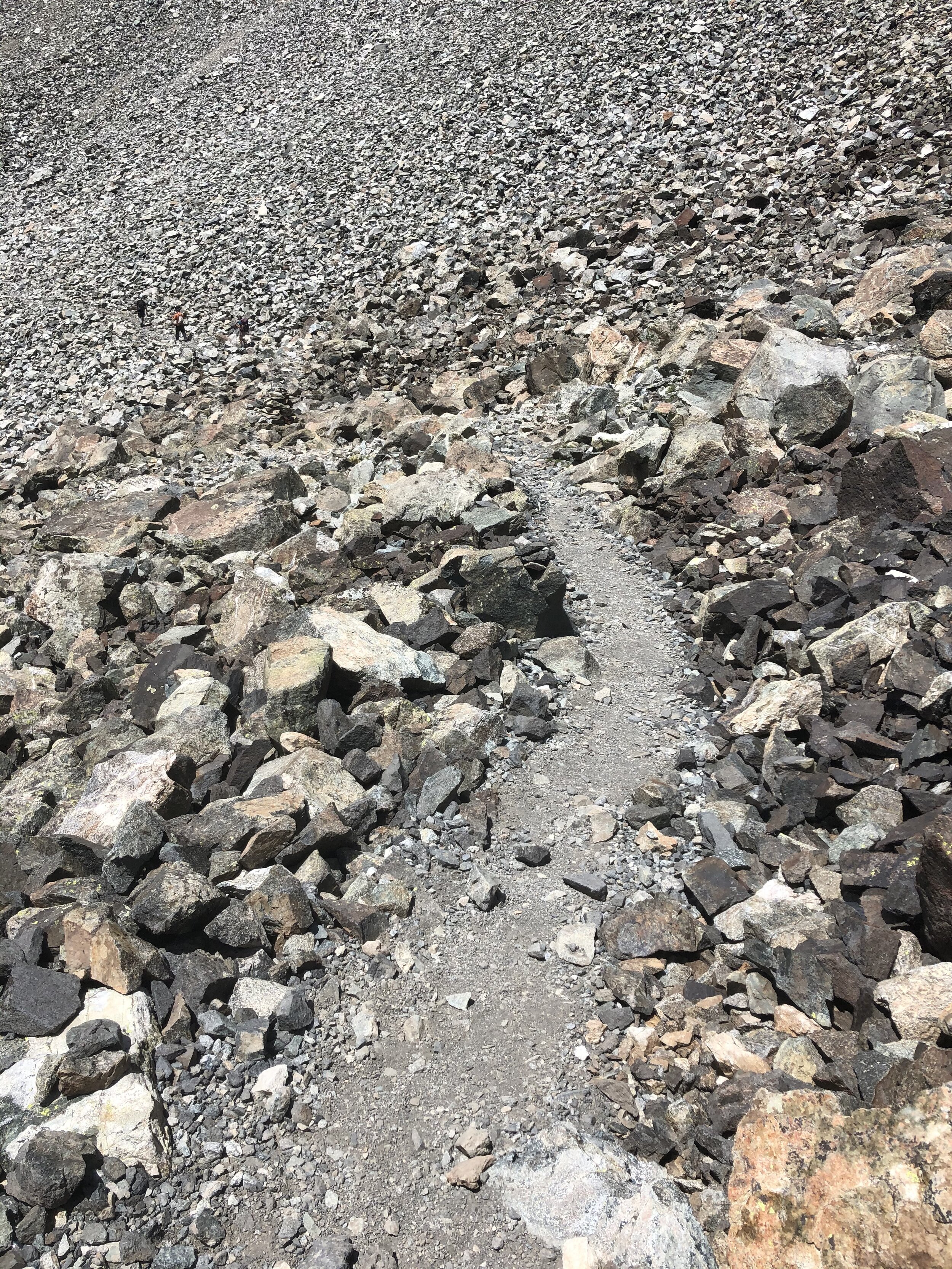
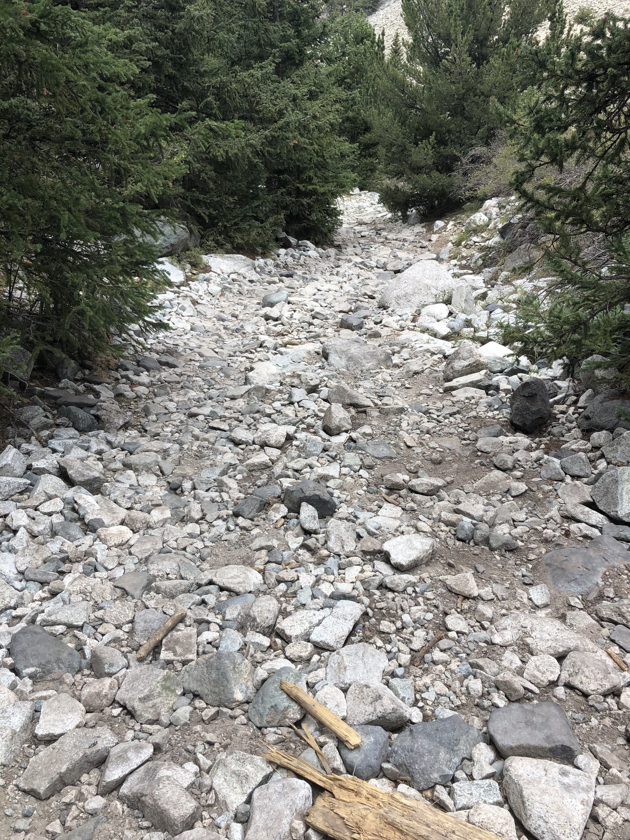
The hike up Lake Como Road was not that bad (imo) as so many people say, but I guess I just was mentally prepared for the “suck” aspect of it. It was fun seeing where vehicles bailed out at various parts on the road. Here is some various parts of this hella sketch af road. You know, if I had my sick car that I drove awhile back SSRAC (a 2004 Nissan Sentra, will not publicly spell out its acronym name I gave it hahaha), I could’ve blown through all of the JAWS obstacles. SSRAC WAS/IS (idk where it ended up) A TOUGH MF CAR. You see, even though I have zero off-roading experience, if I had SSRAC, I would’ve made it. Oh well.
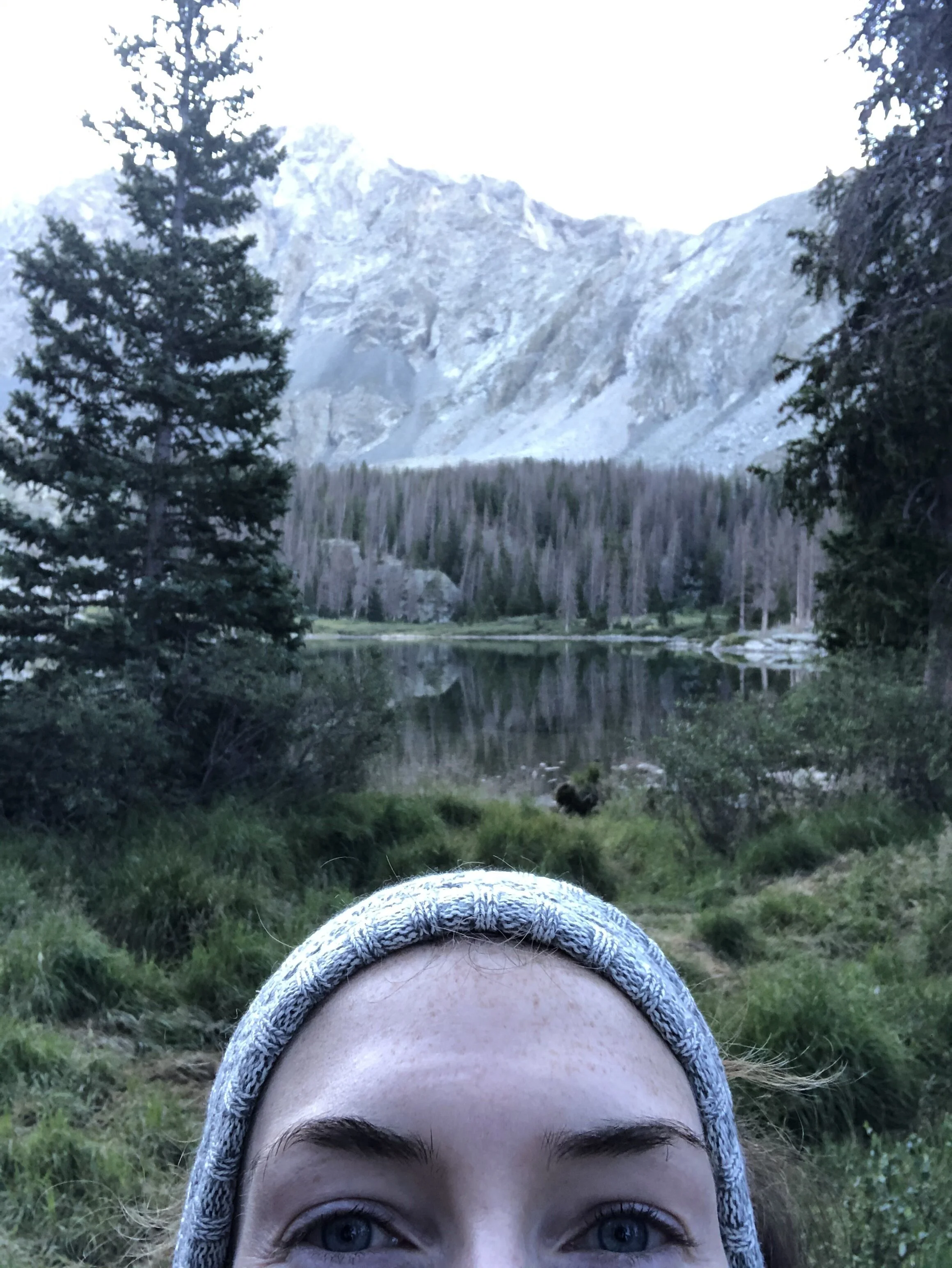
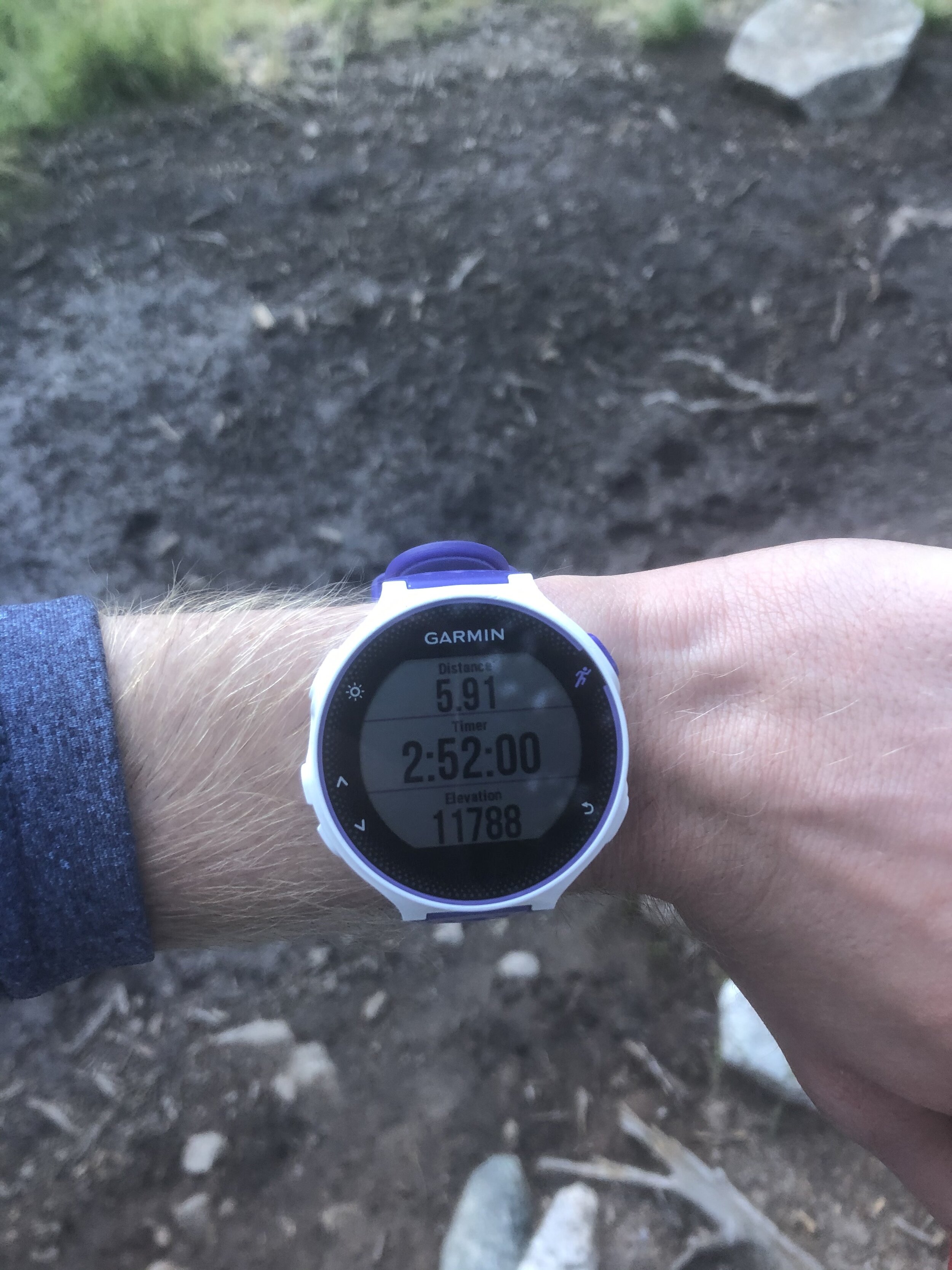
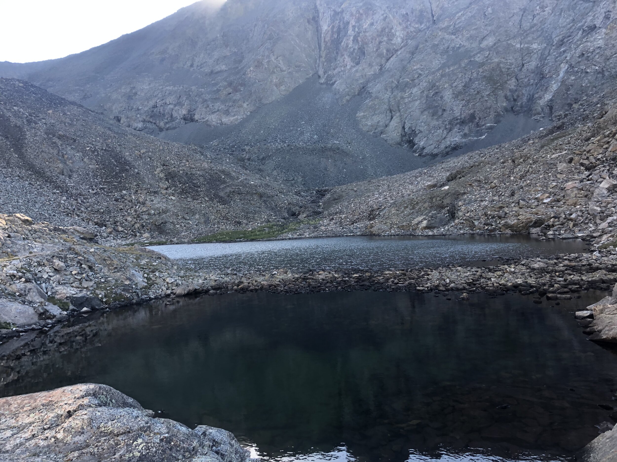
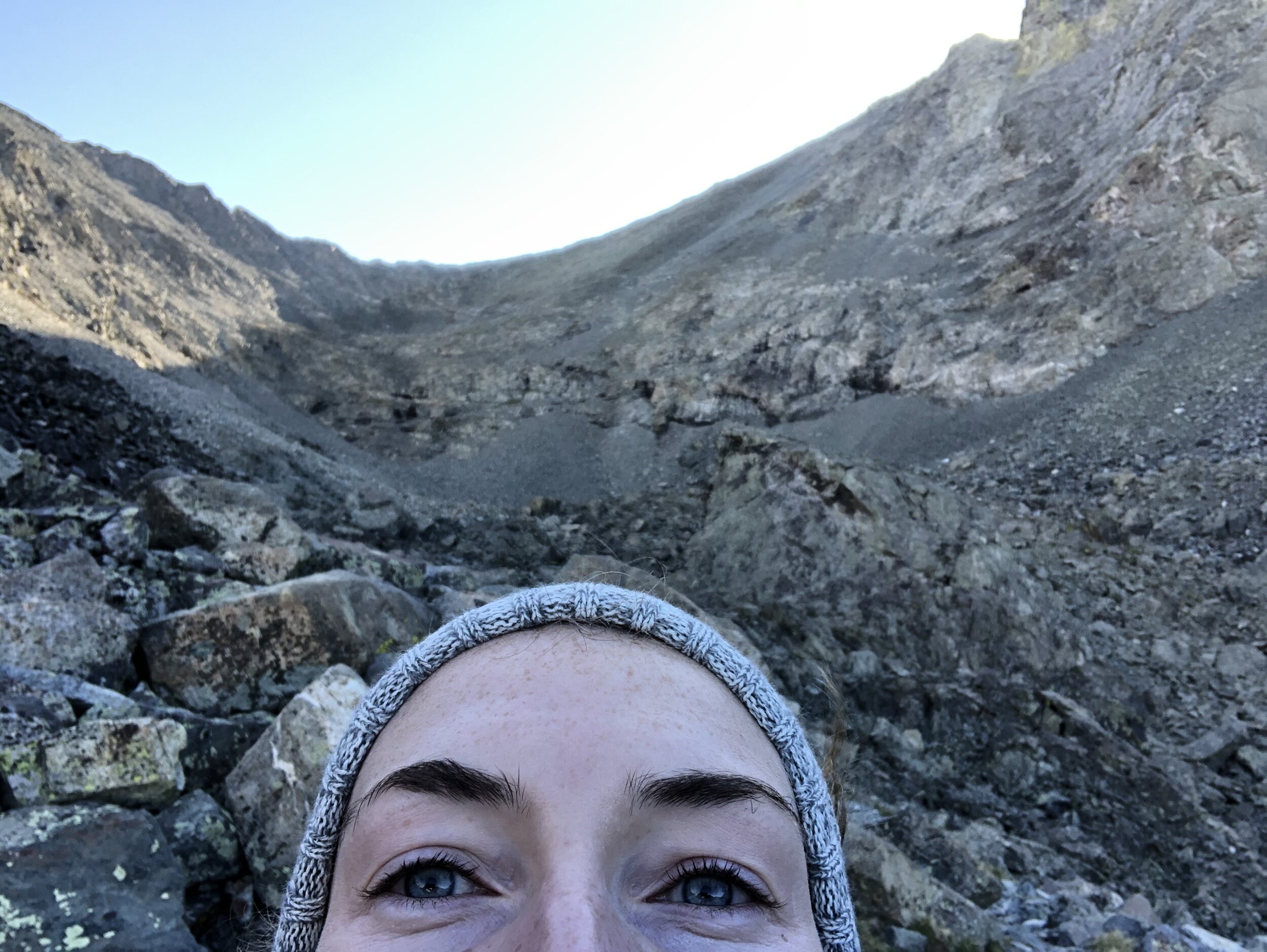
It was 5.91 miles and 2 hours and 52 minutes for me to make it up to Lake Como (which my watch measured as just below 11,800’). I took some more kristin selfies with the lake in the background and traveled around the left side of the lake to continue on.
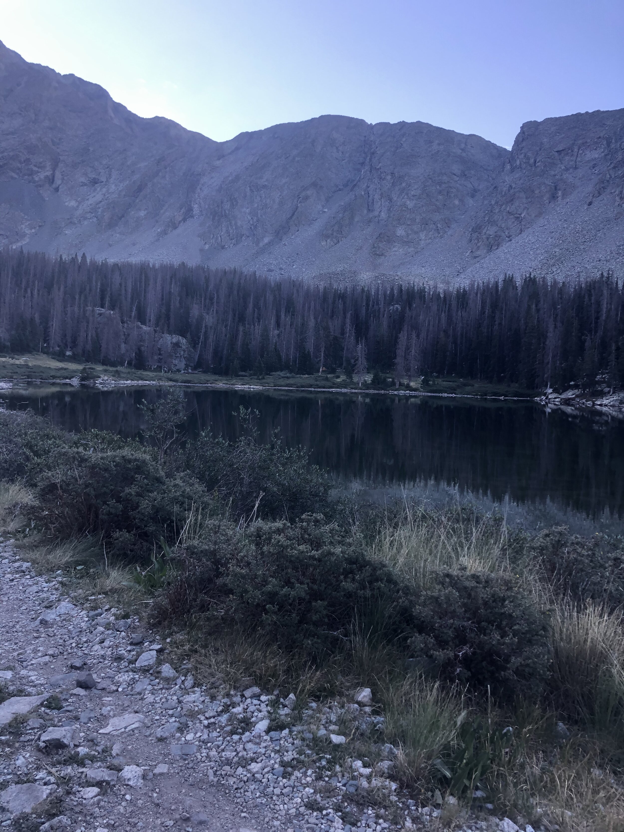
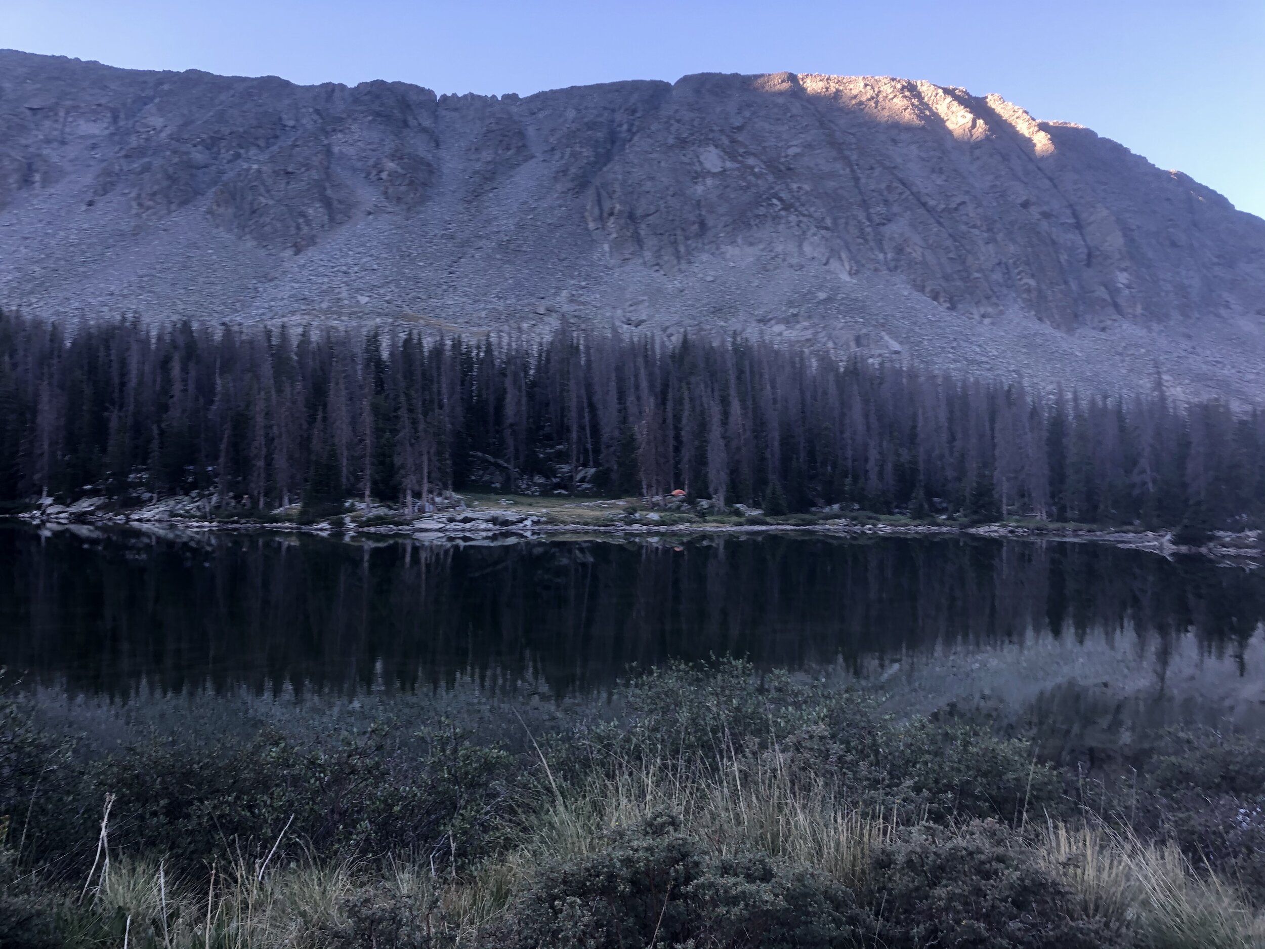
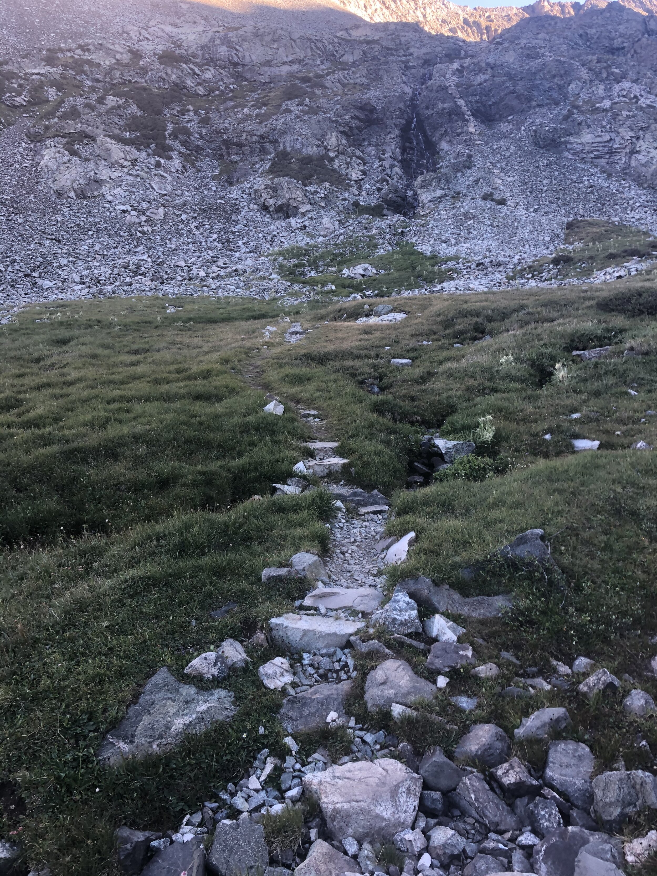
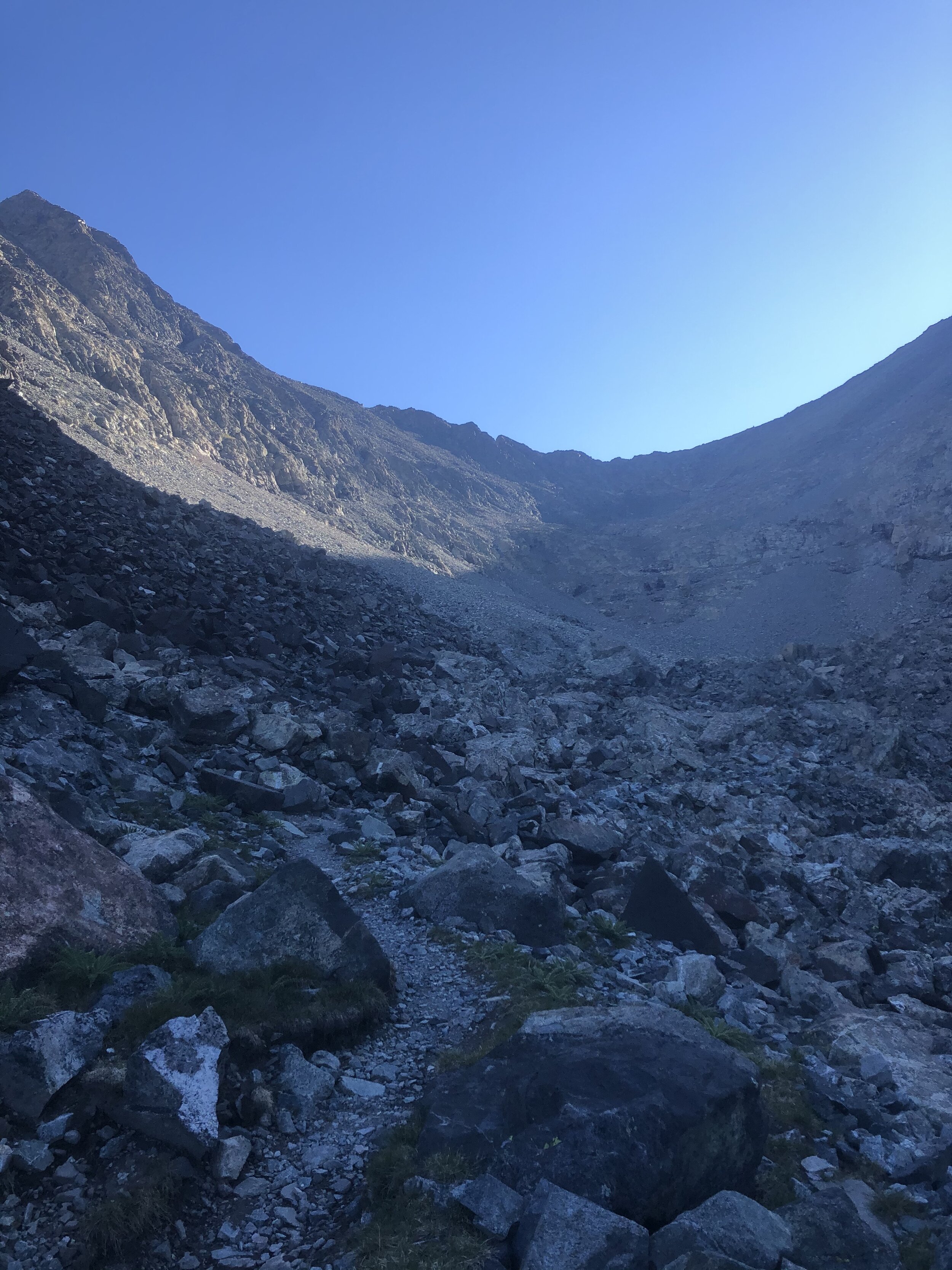
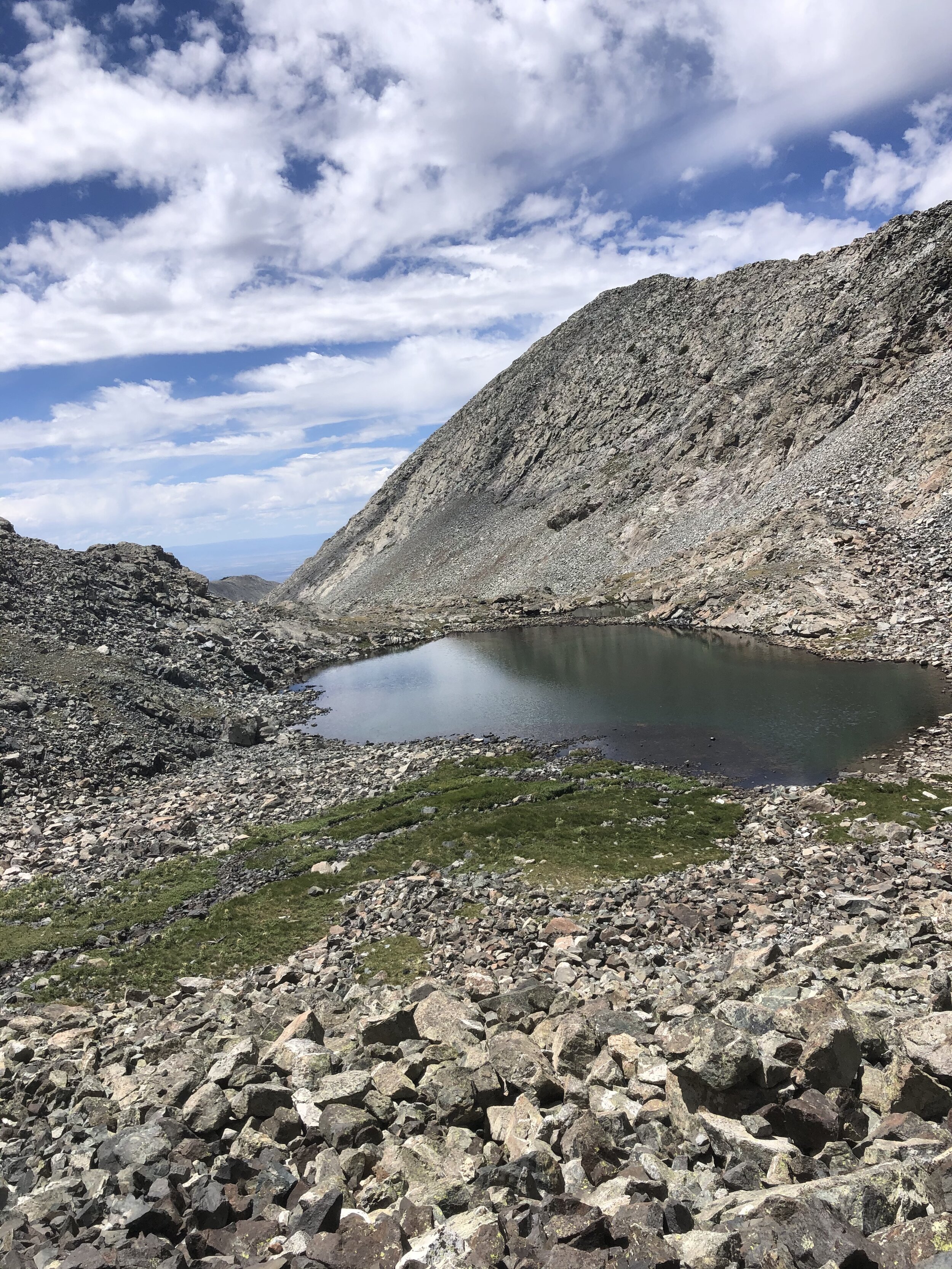
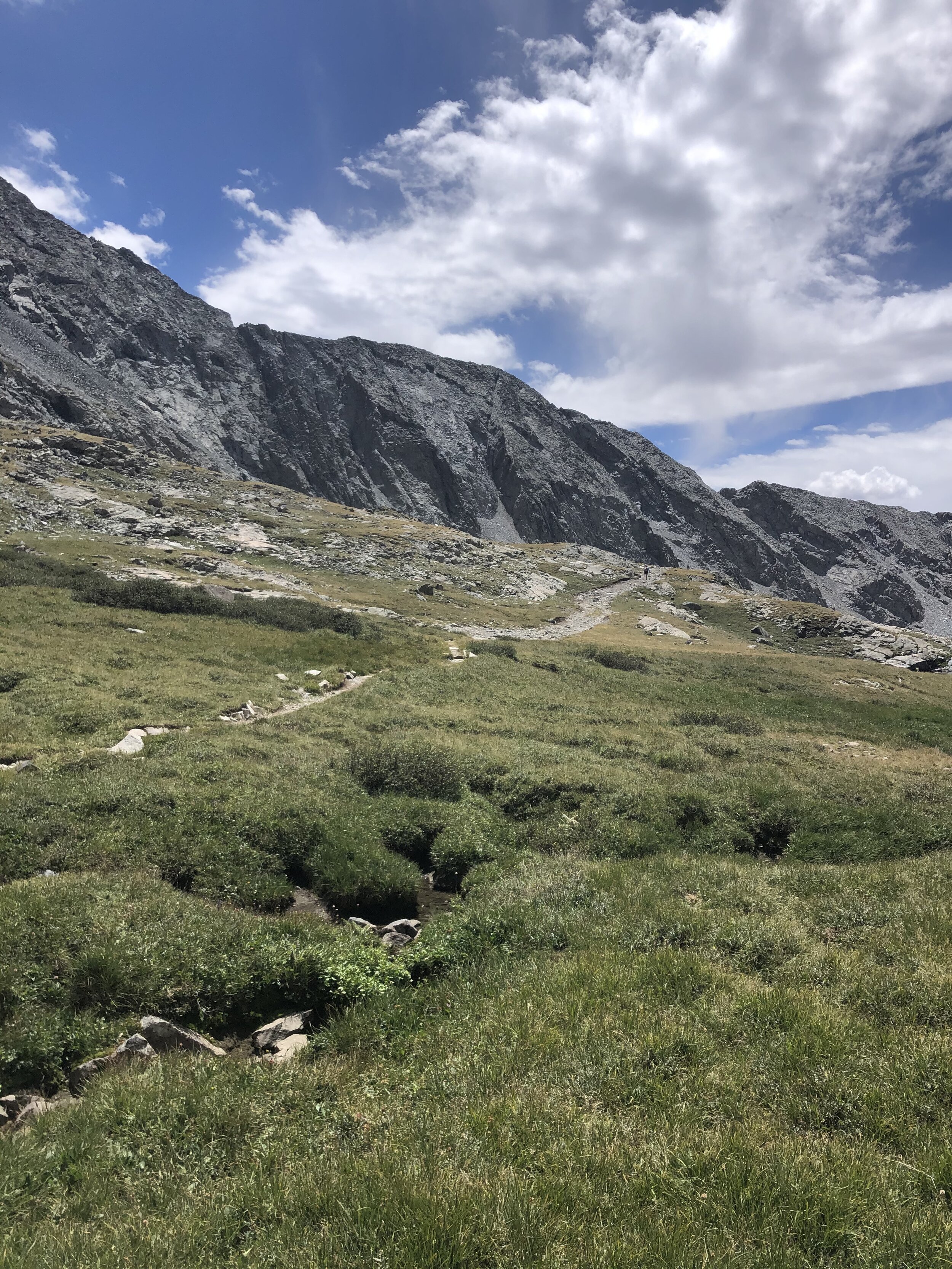
This next part of the hike was pretty nice, since I wasn’t on Lake Como Road anymore. There was so much water in this next section of the hike. A waterfall and many lakes. The trail was very straightforward in this part of the hike.
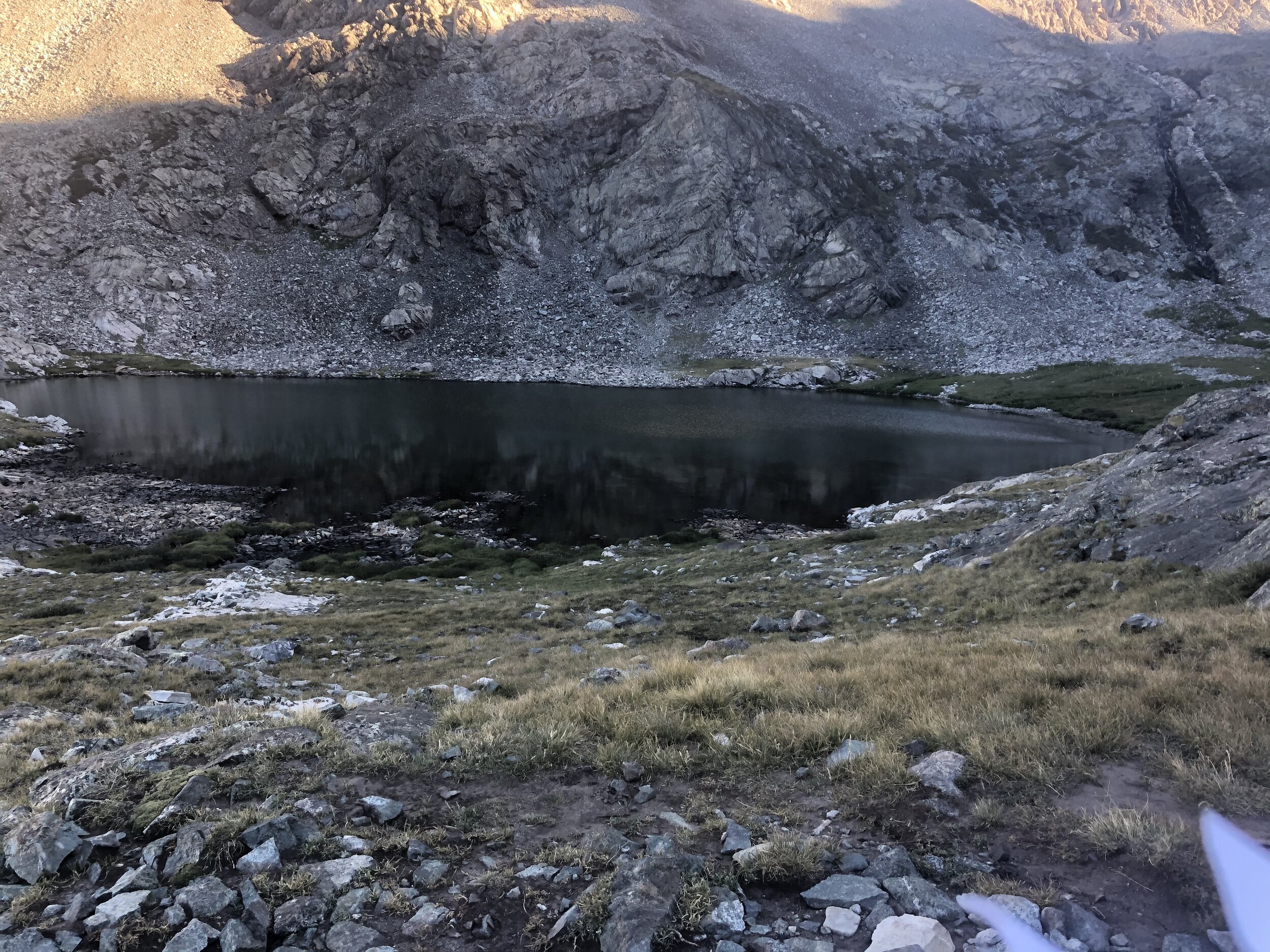
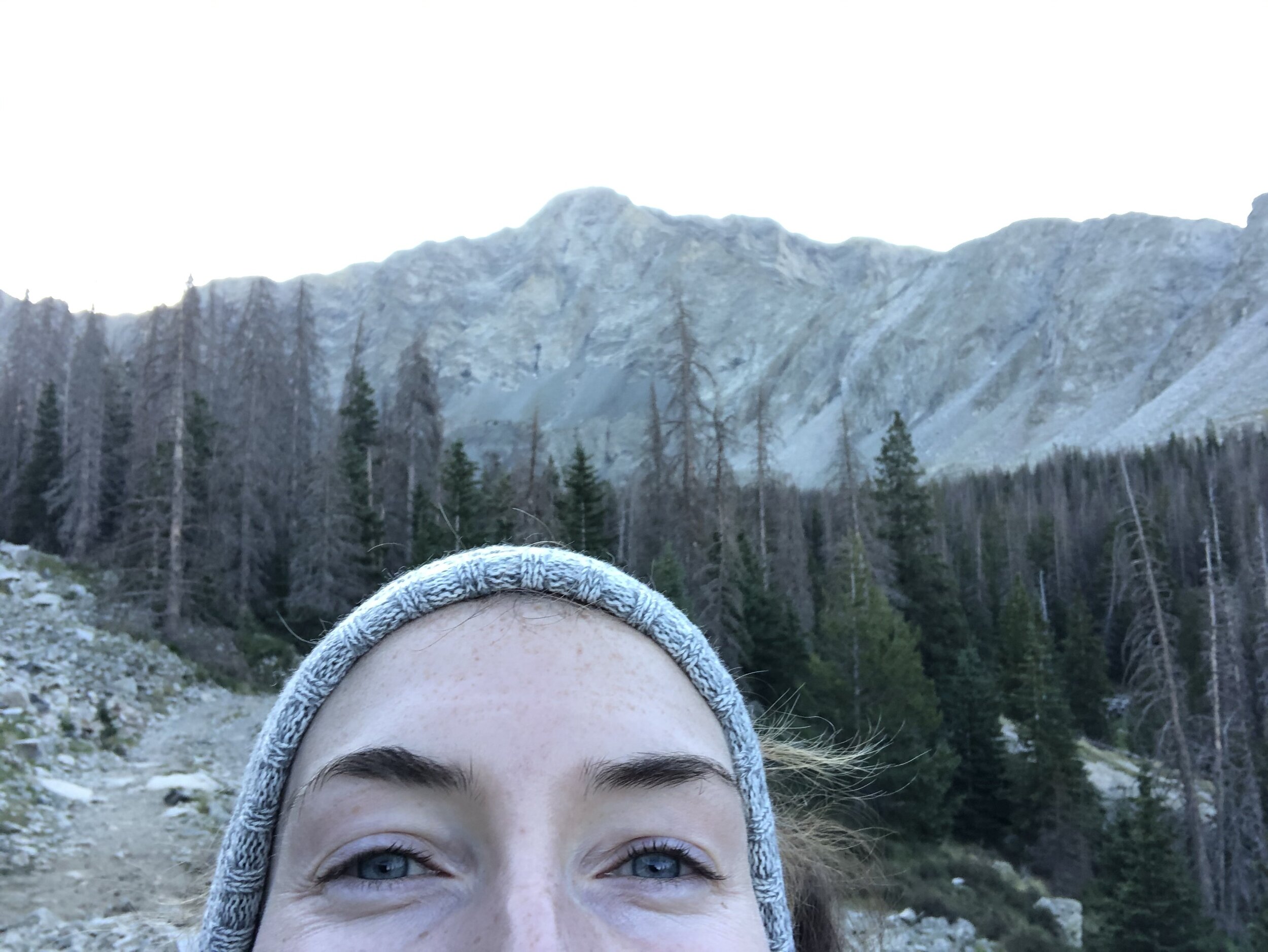
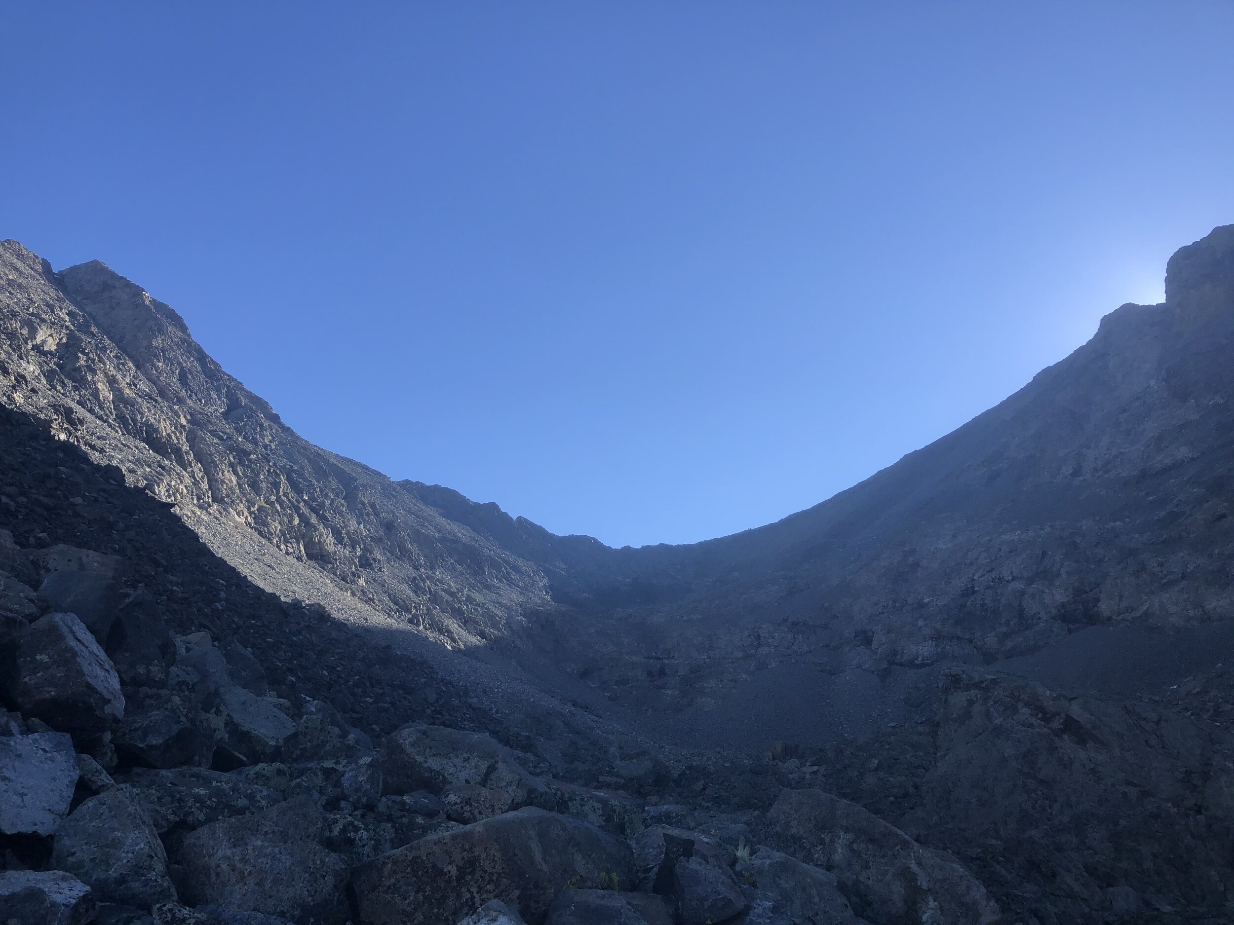
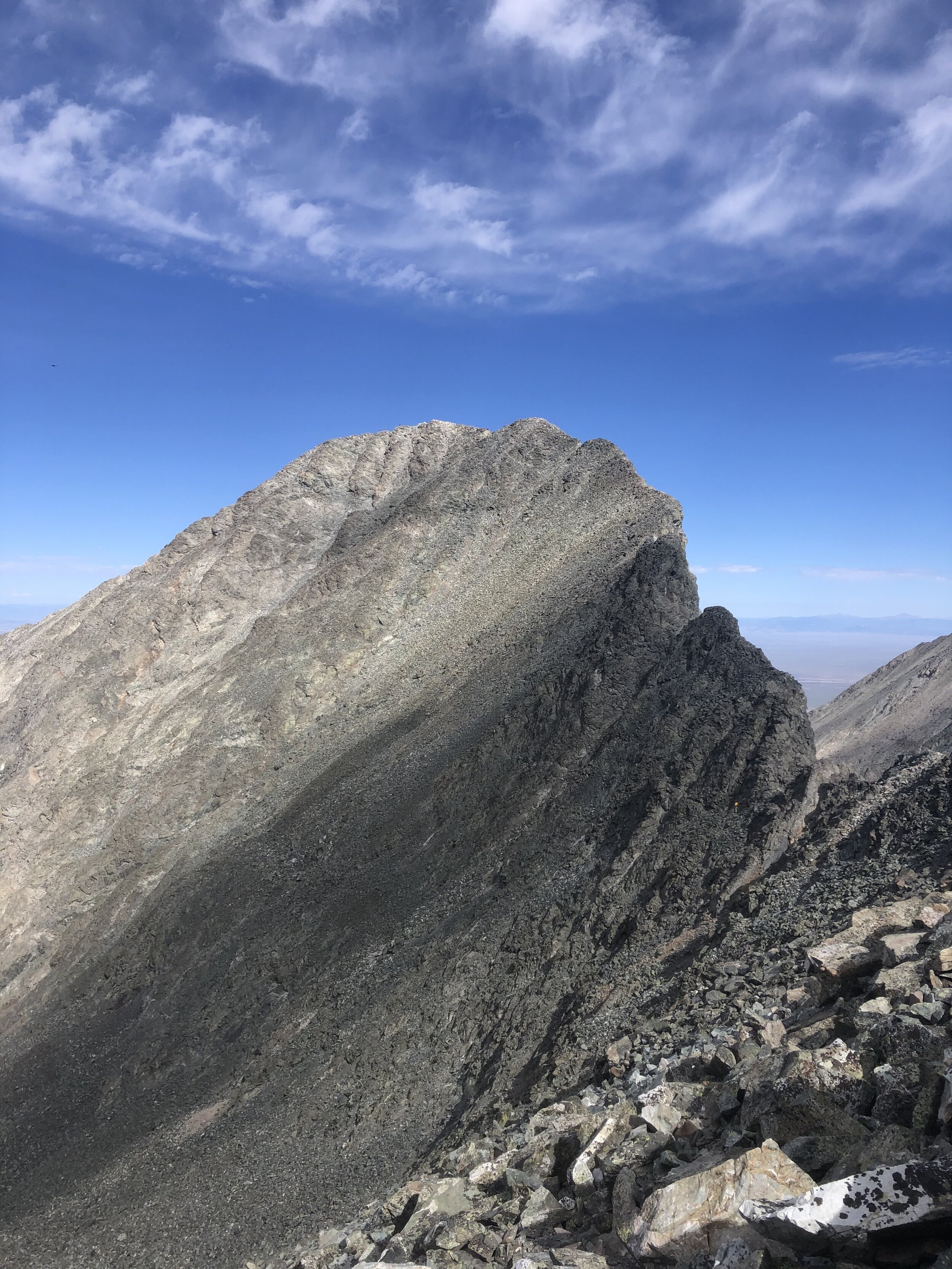
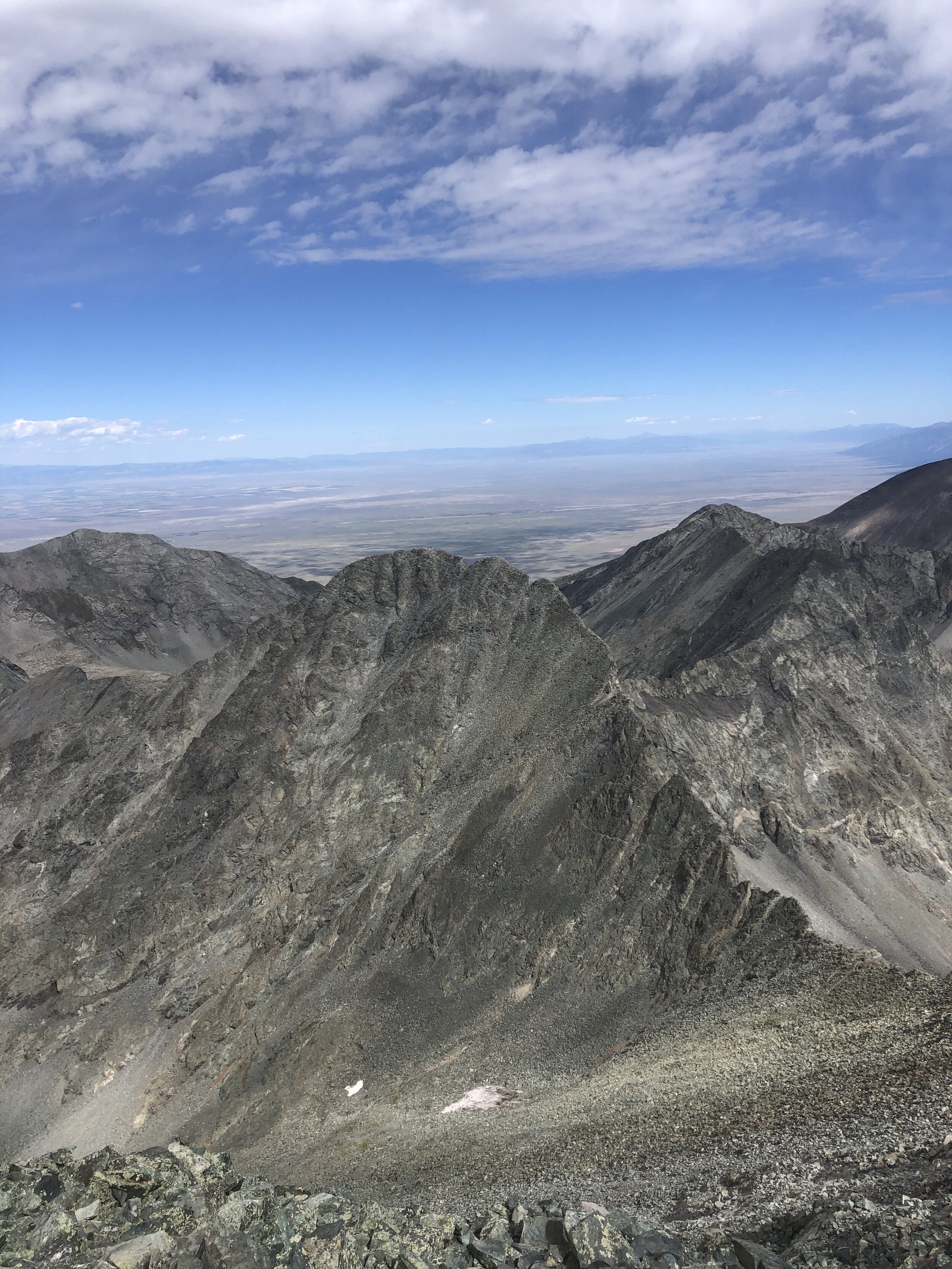
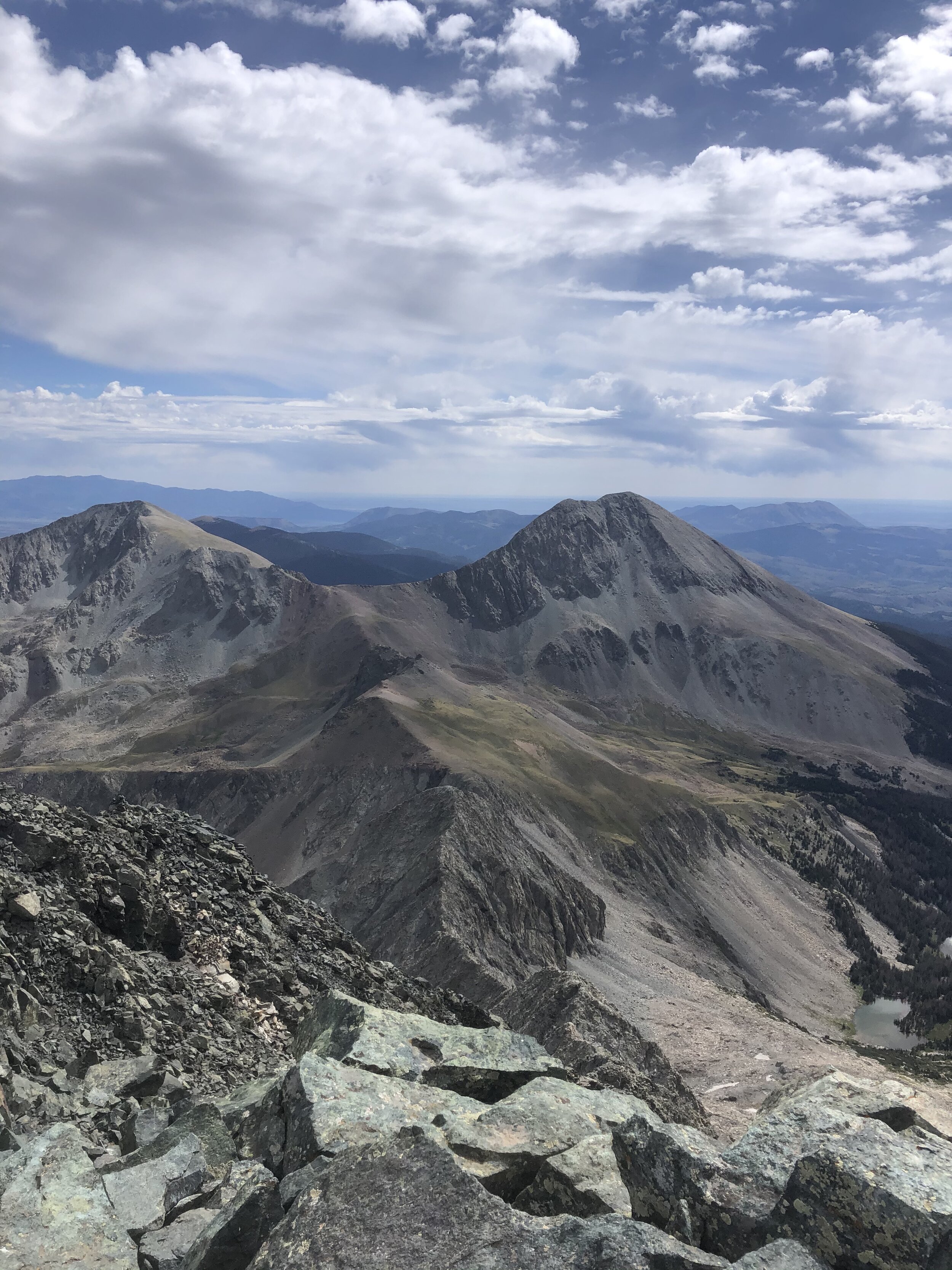
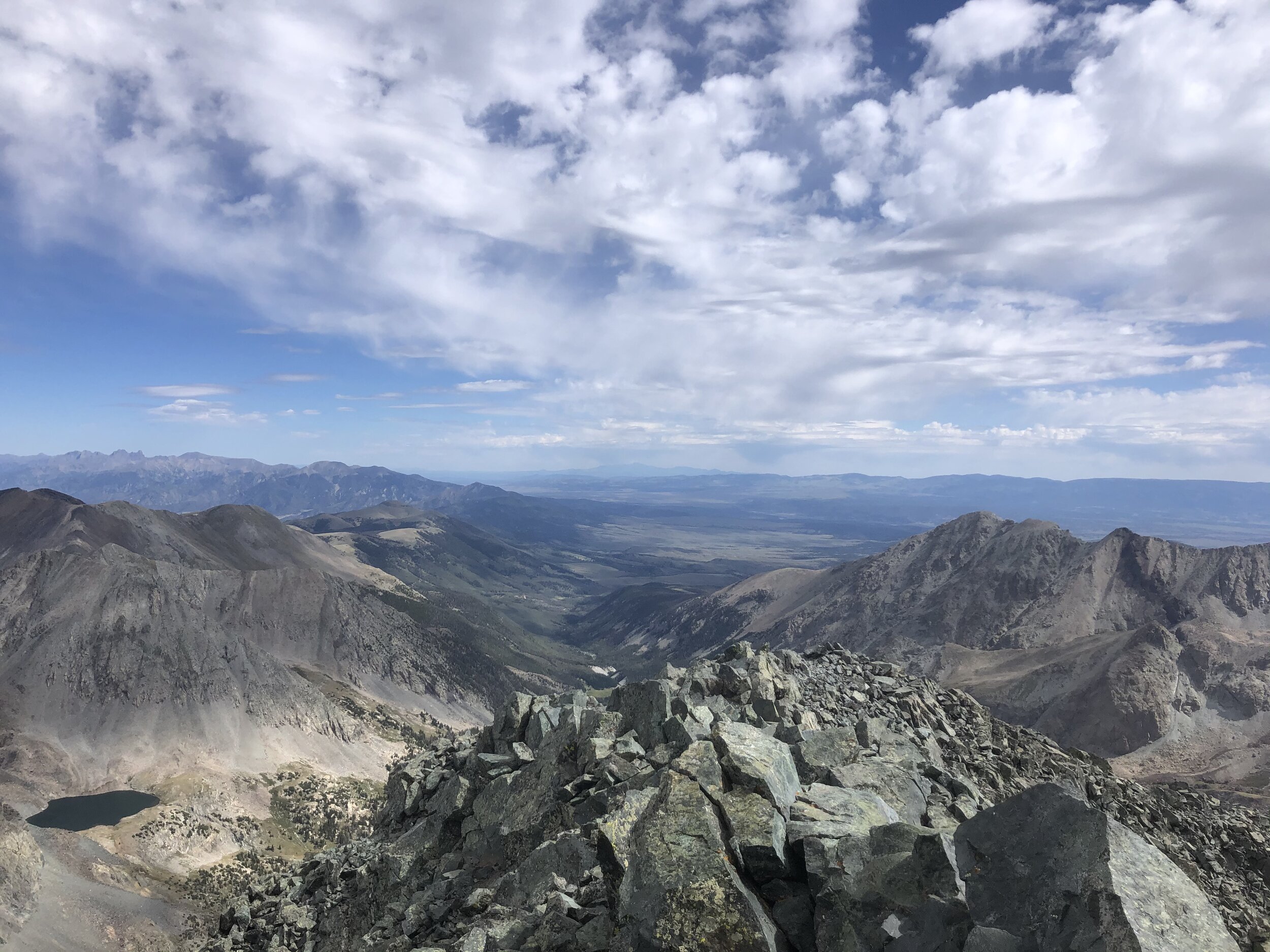
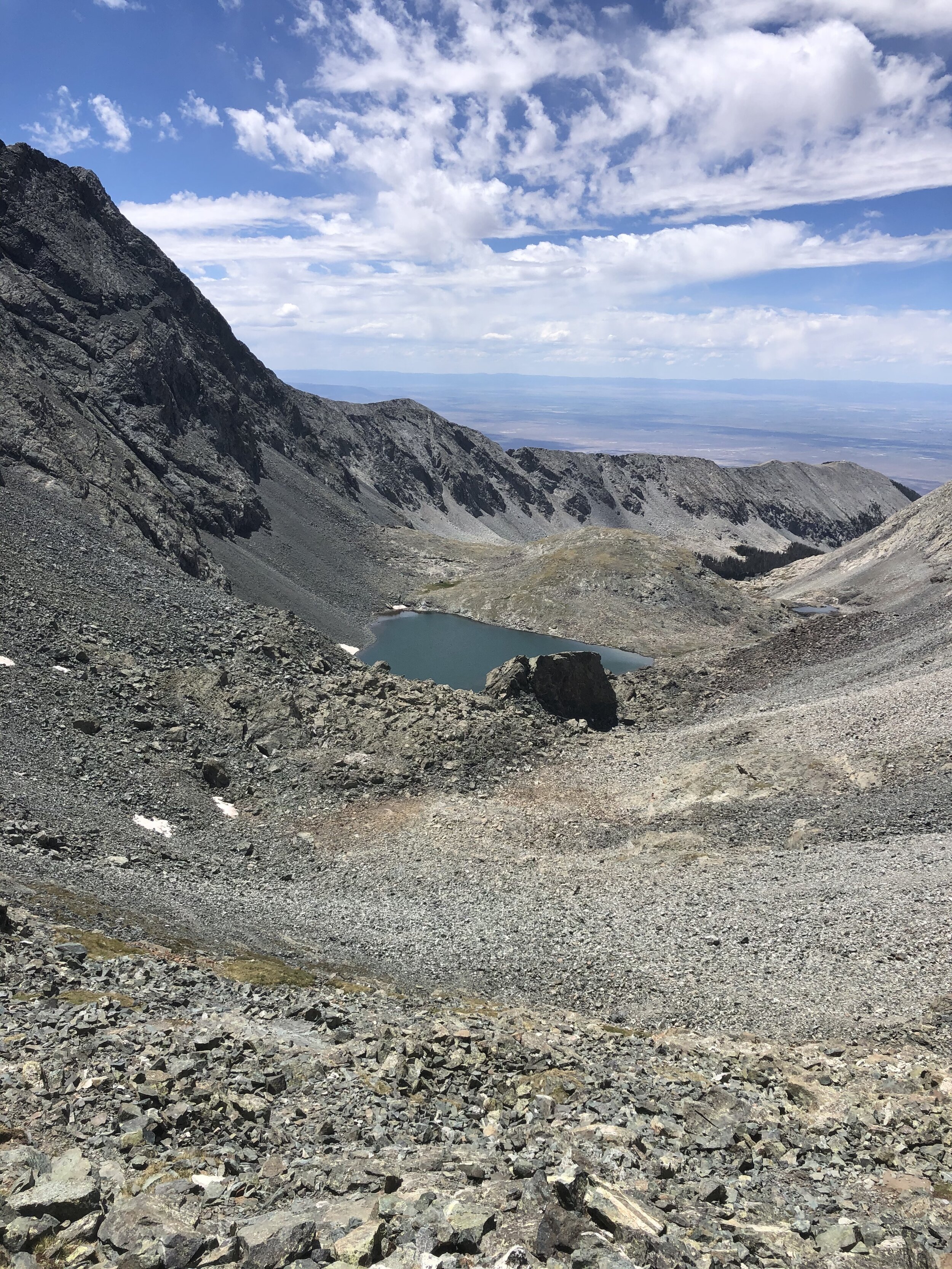
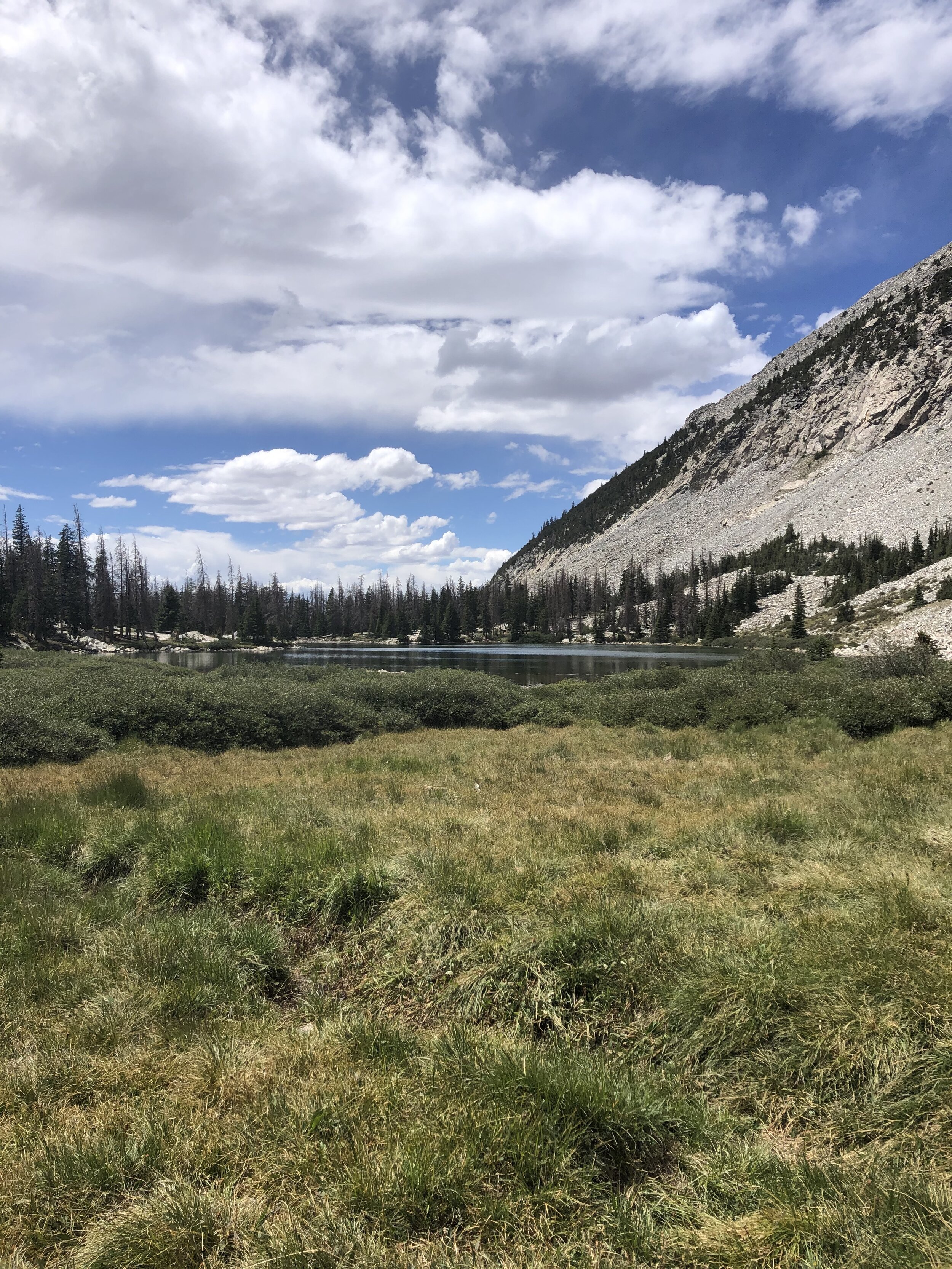
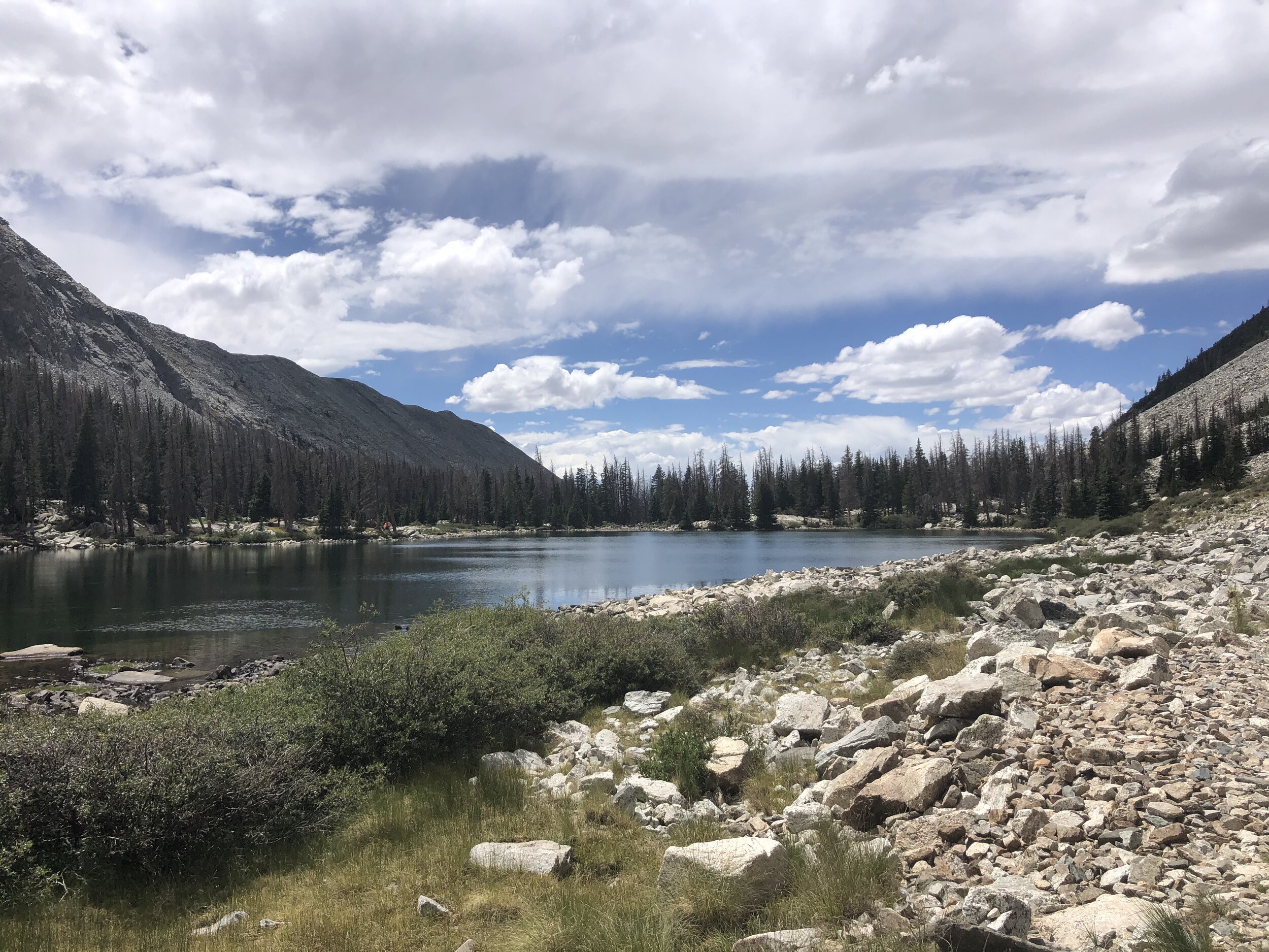
When I was around Crater Lake (the last picture that I added above I think, idk there are so many lakes man), I took some nice pictures (including a kristin selfie yaaaa) of the ridge between Ellingwood (left) and Blanca (right). I didn’t get the peaks really in the picture, but it’s still a cool picture and you could see where you were almost at. These were taken at around 12,750’, so still a ways to go to summit the first peak, but I had already gained almost 5,000’ of the approximate 7,000’ that I would be gaining today.
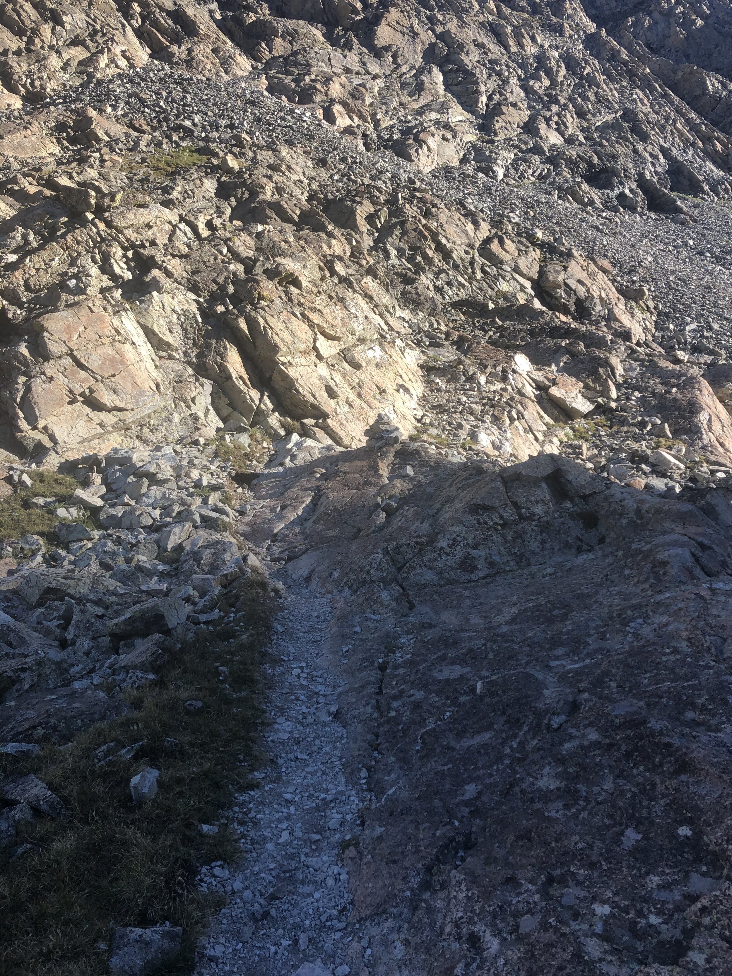
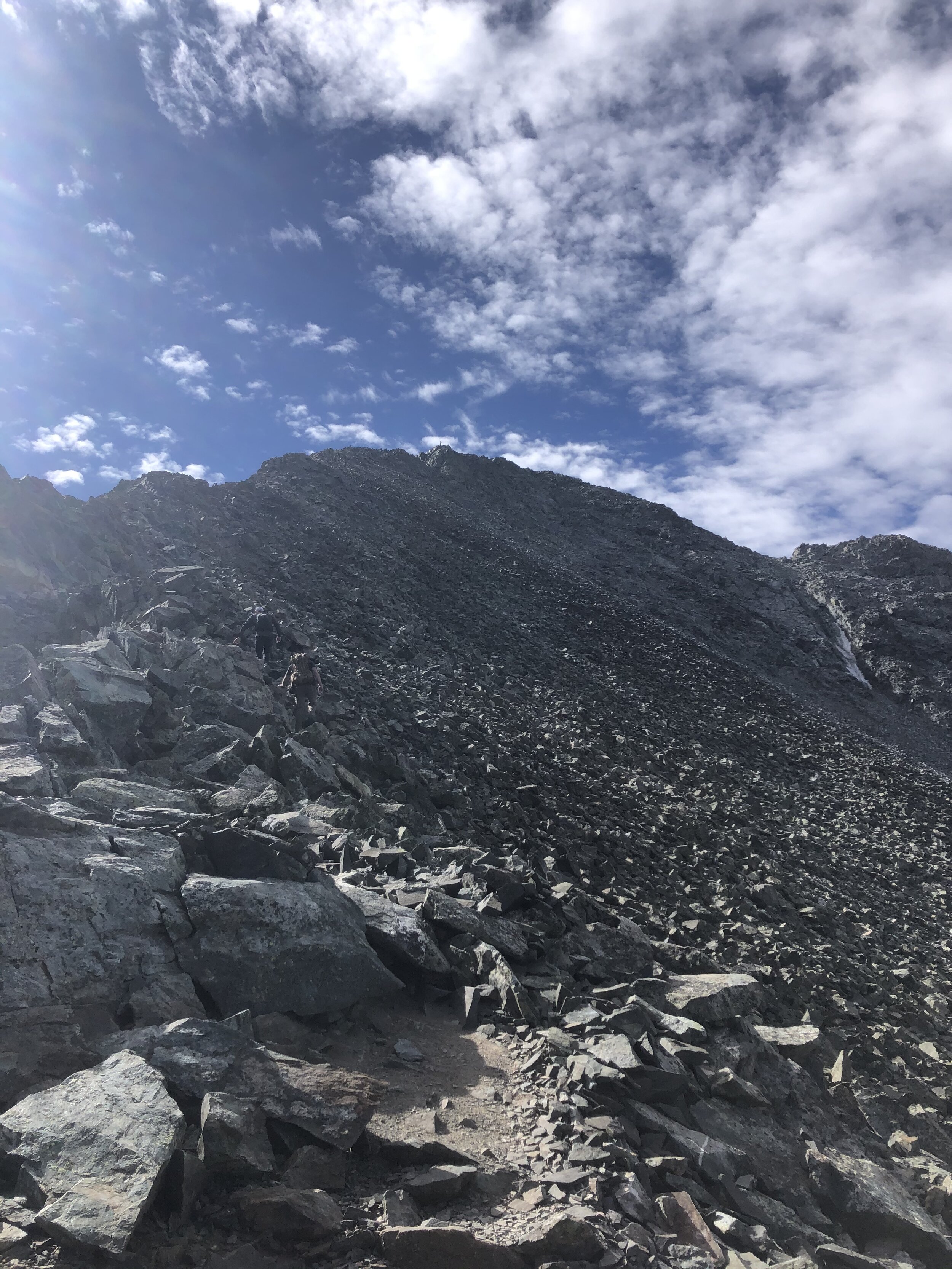
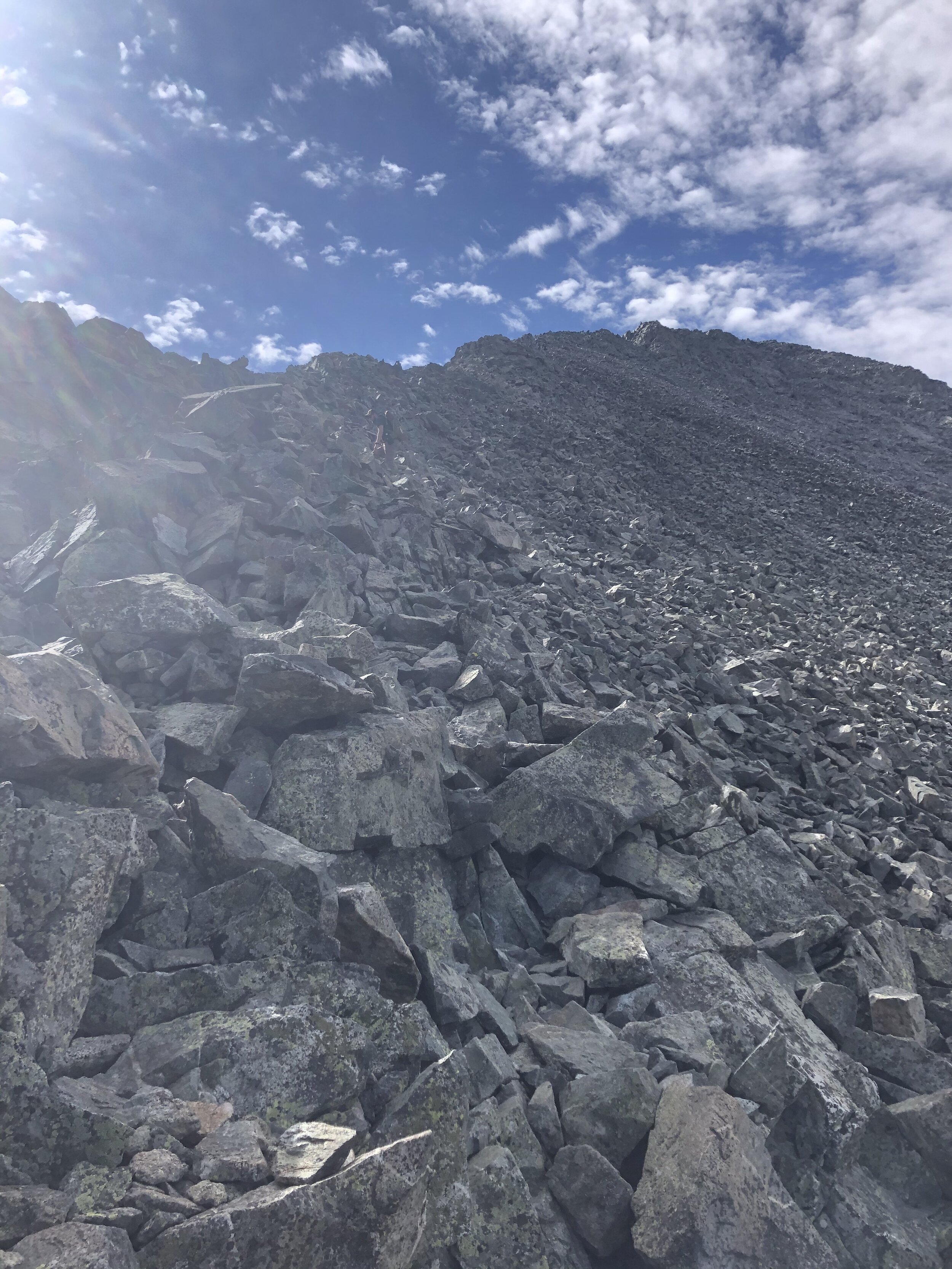
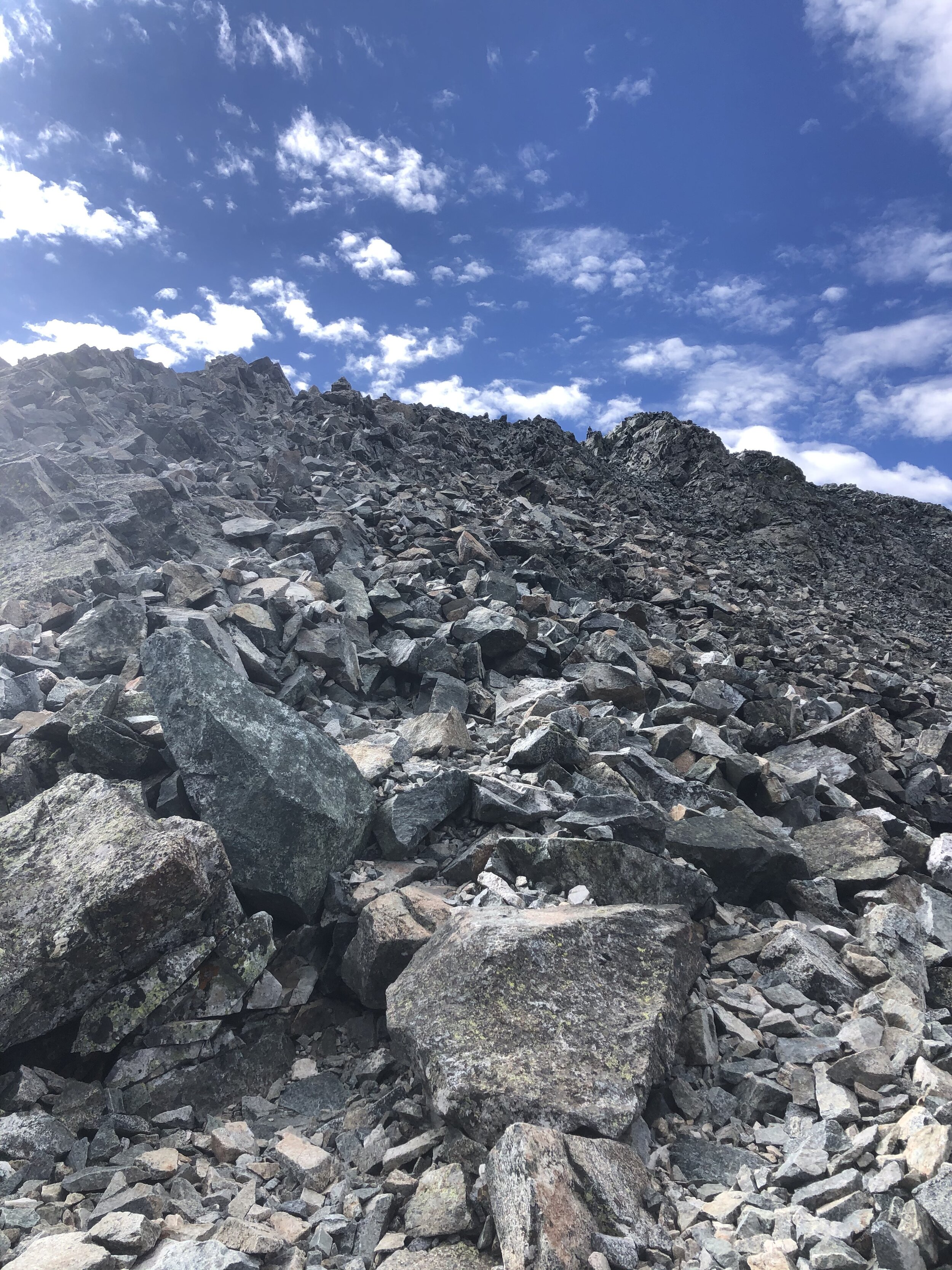
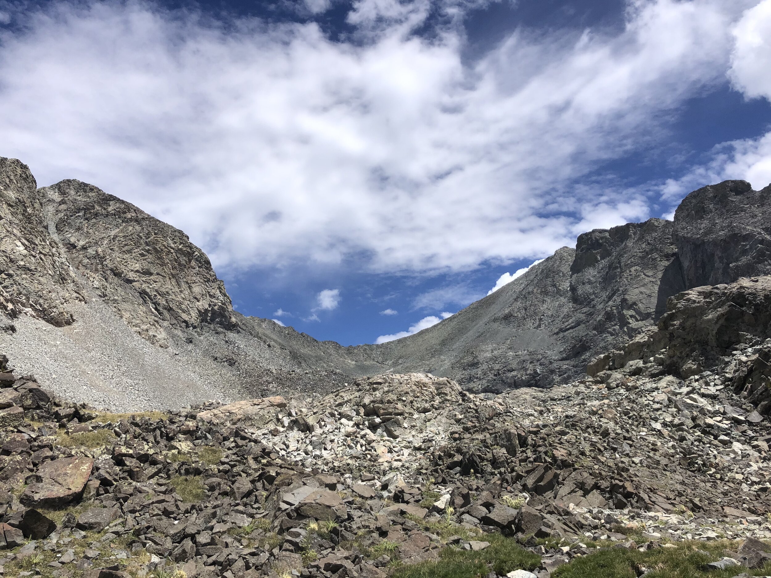
I decided to summit Blanca Peak first so I stayed towards the right. Route finding around 13,000’ or so got more difficult but nothing too bad. I think the “route” up to Blanca Peak was much more straightforward than the “route” up to Ellingwood appeared to be. Soon enough, this hike started reminding me of good Mt. Princeton. Actually, if I’m being honest, even the beginning of my trek up Lake Como Road reminded me of Princeton.
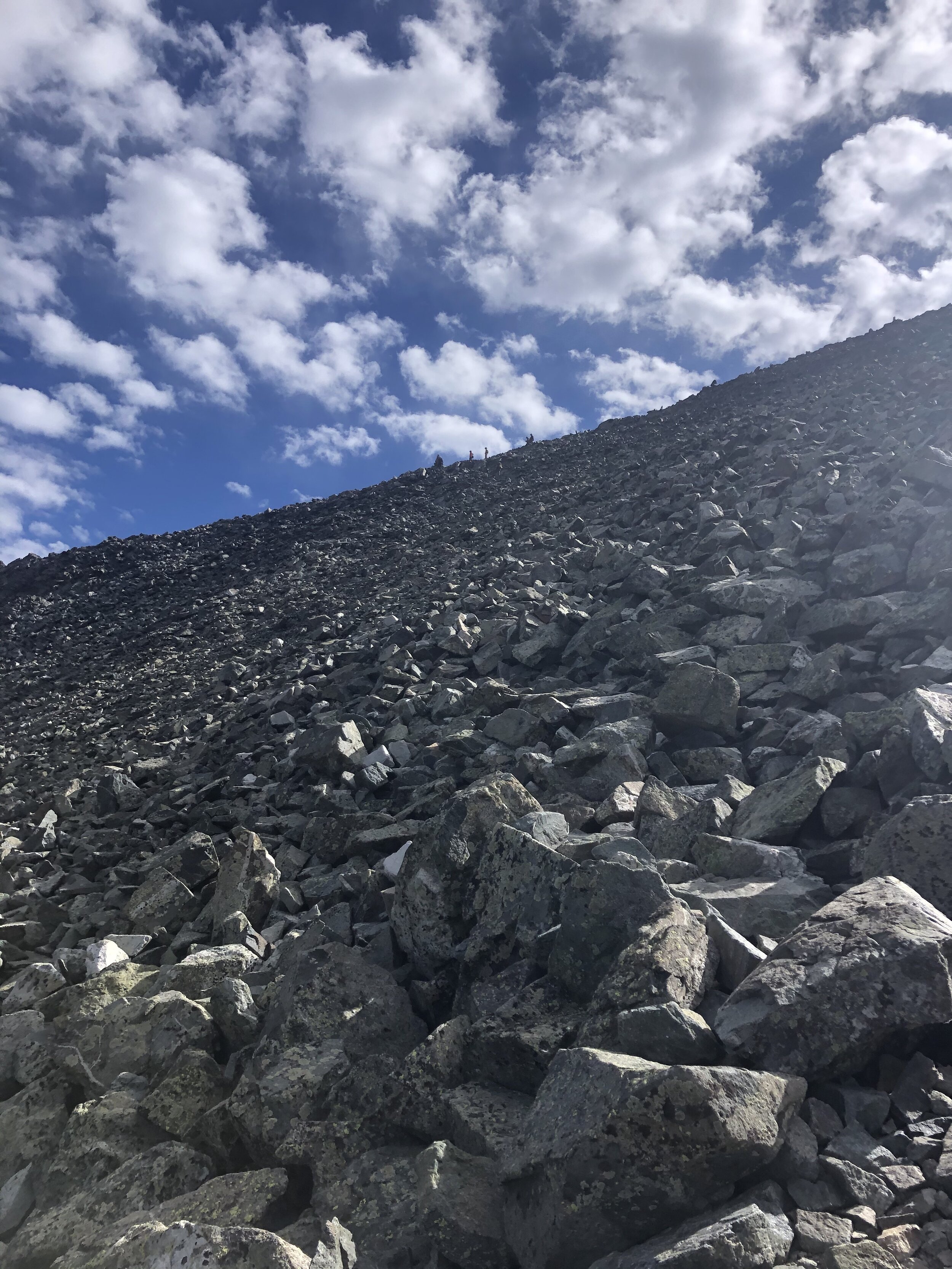
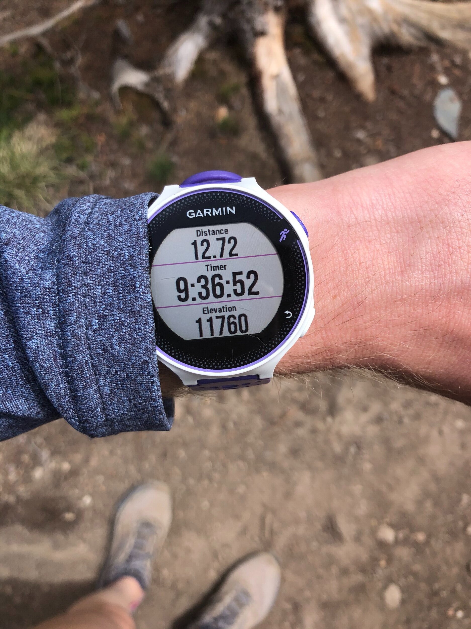
I reached the right hand side of the ridge between Blanca and Ellingwood at 8.75 miles/5 hours and 6 minutes in. My watch measured the elevation as 13,825’, so I only had 500’ to go!
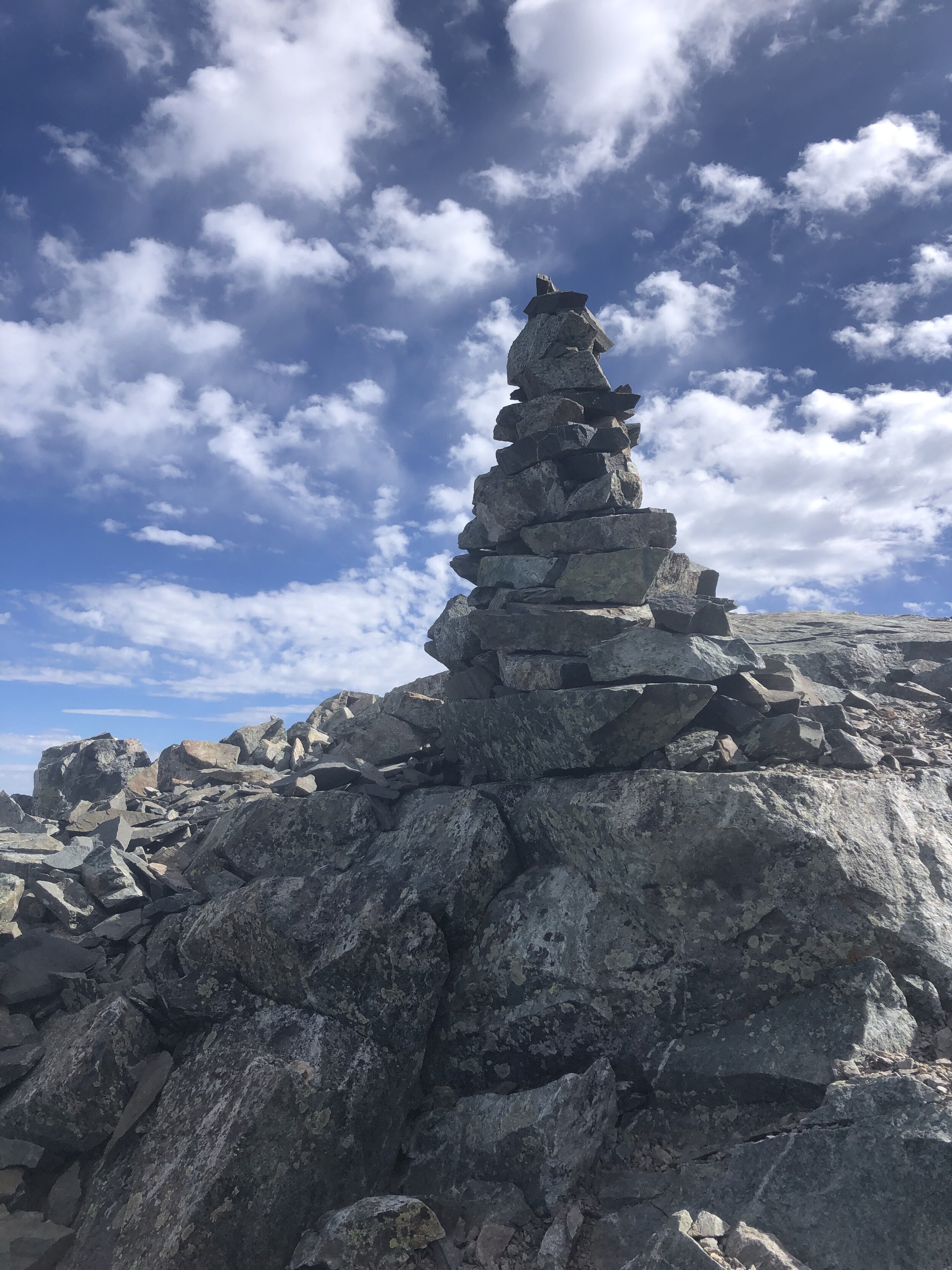
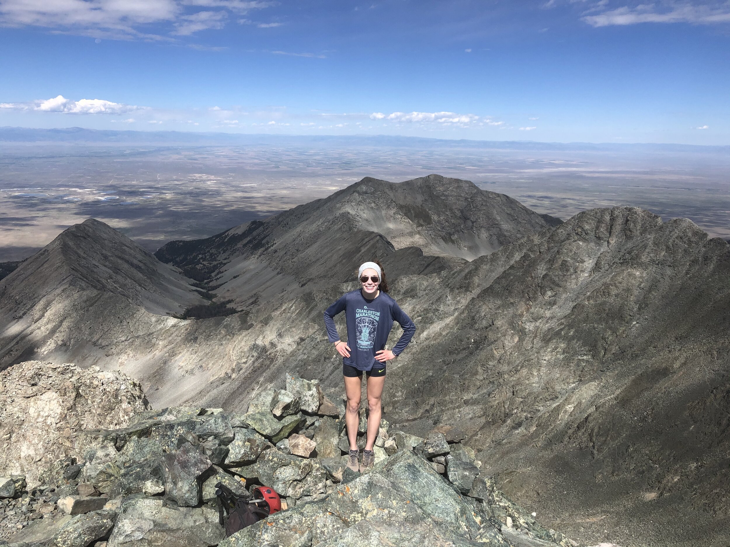
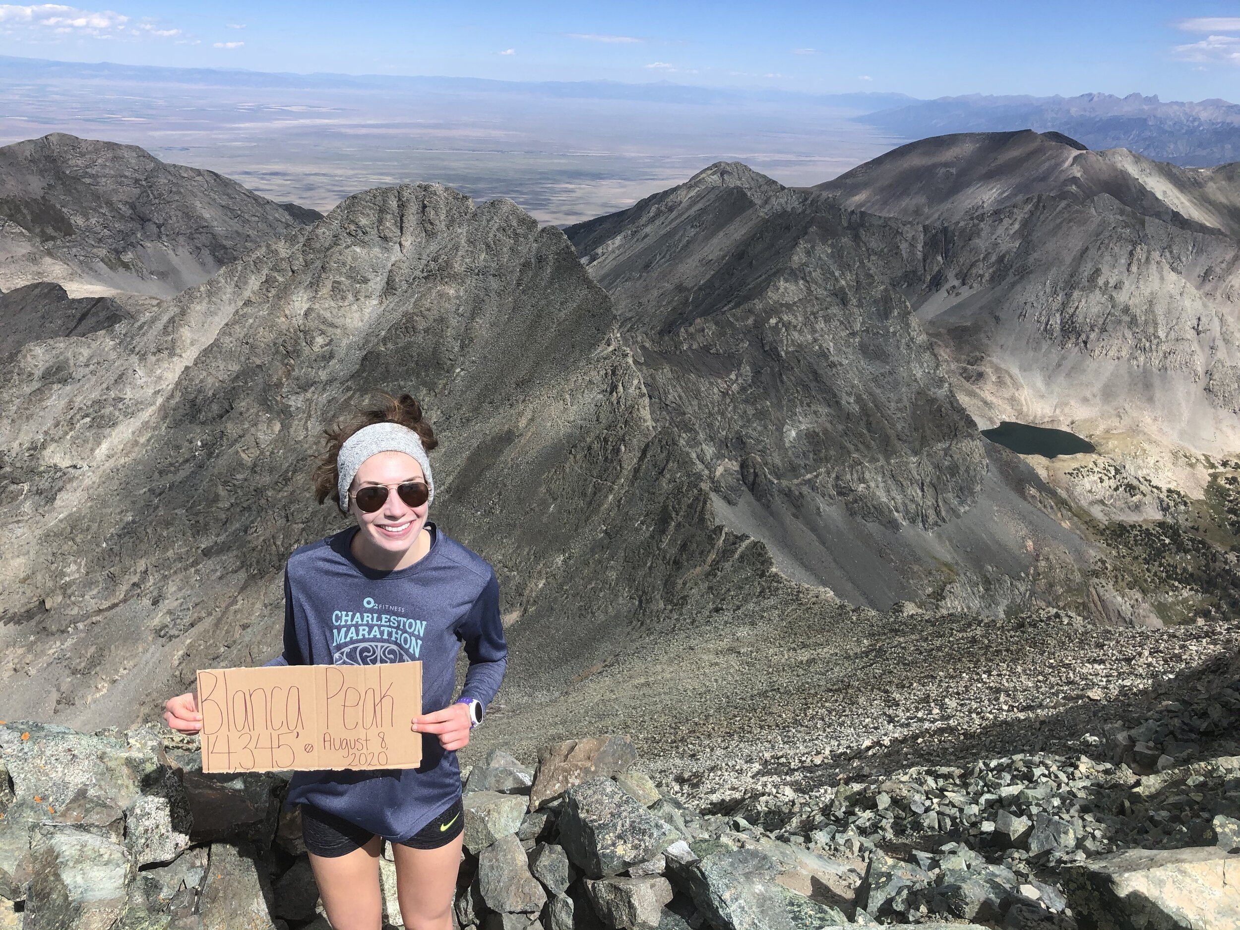
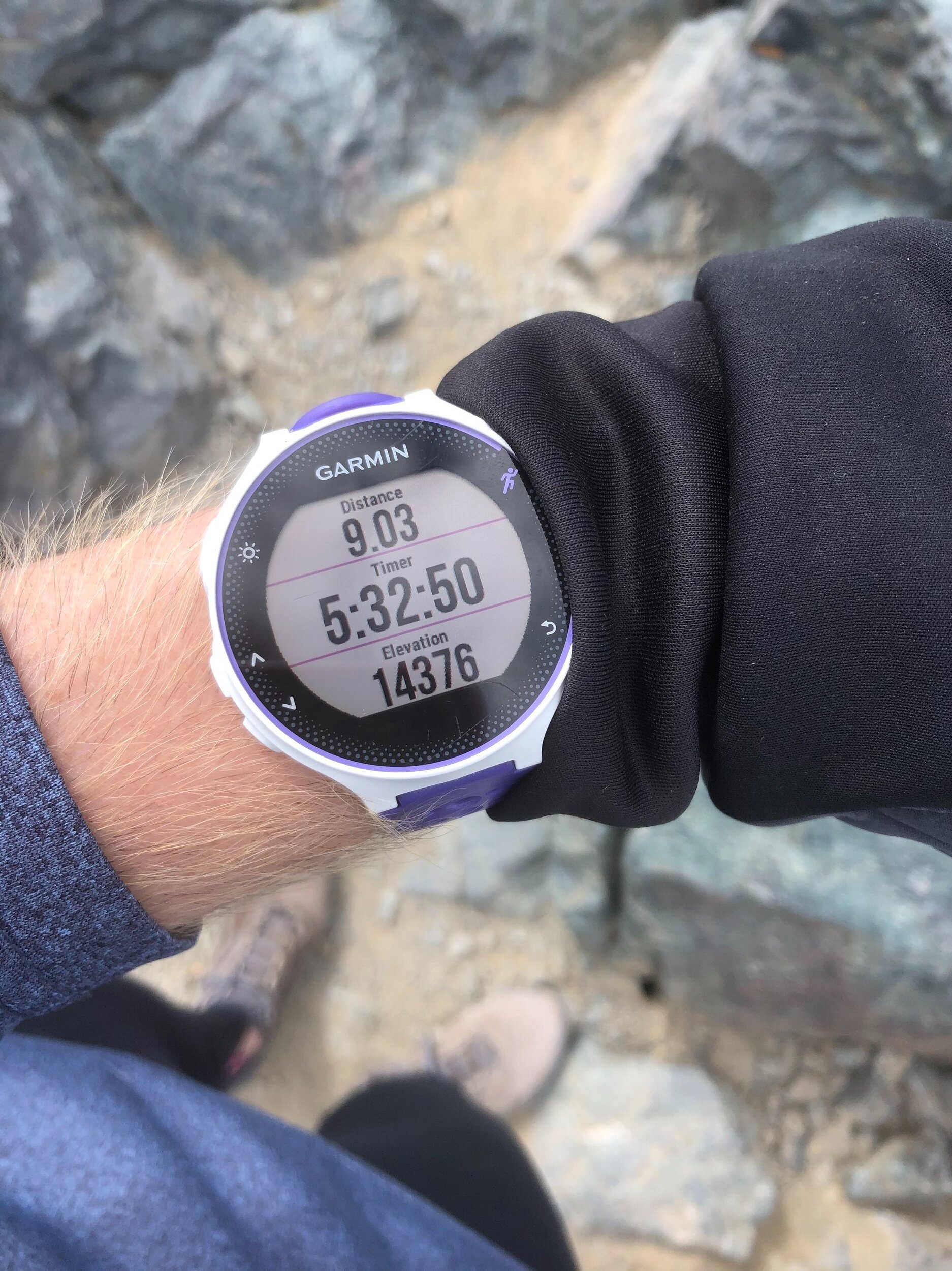
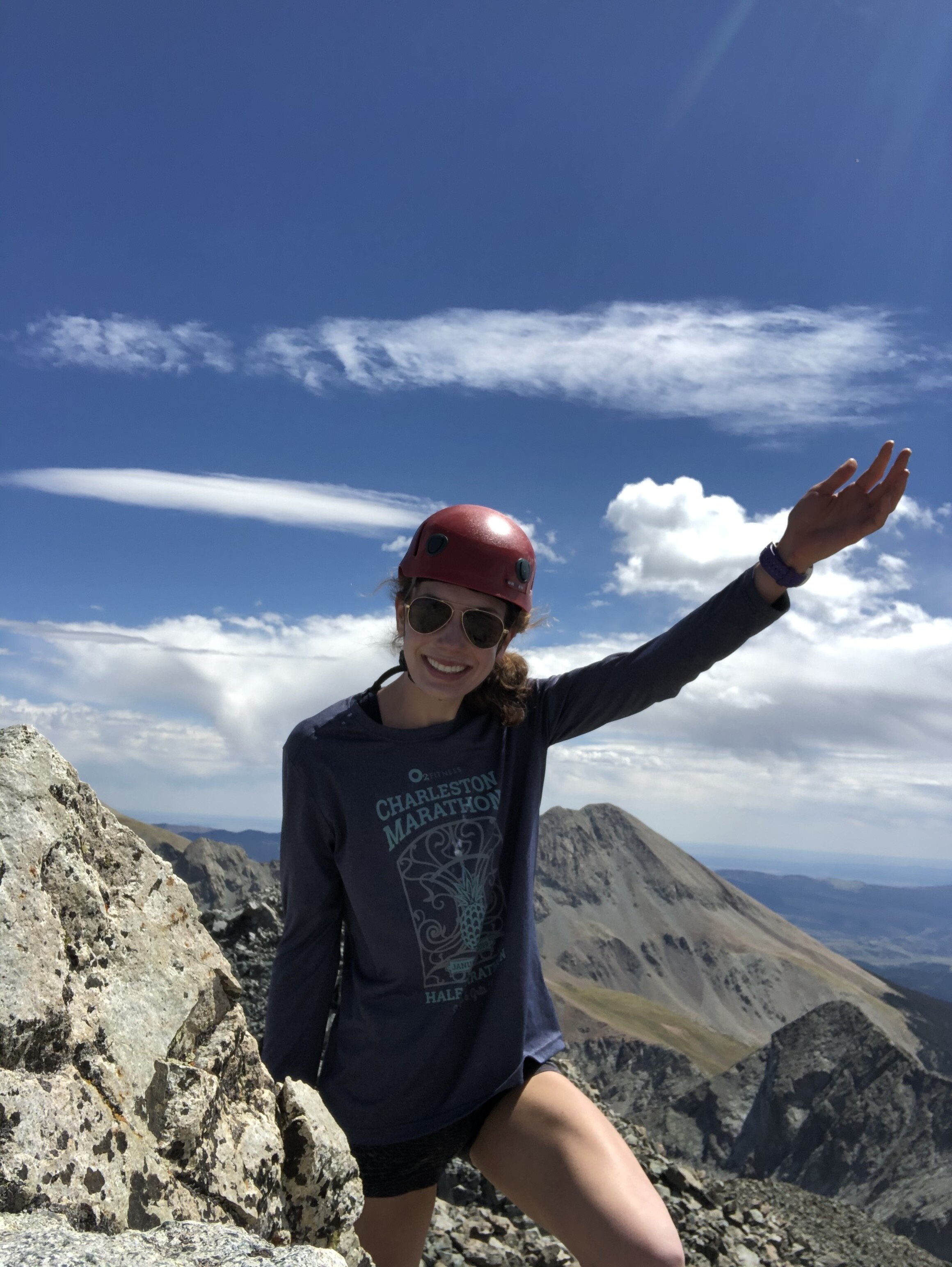
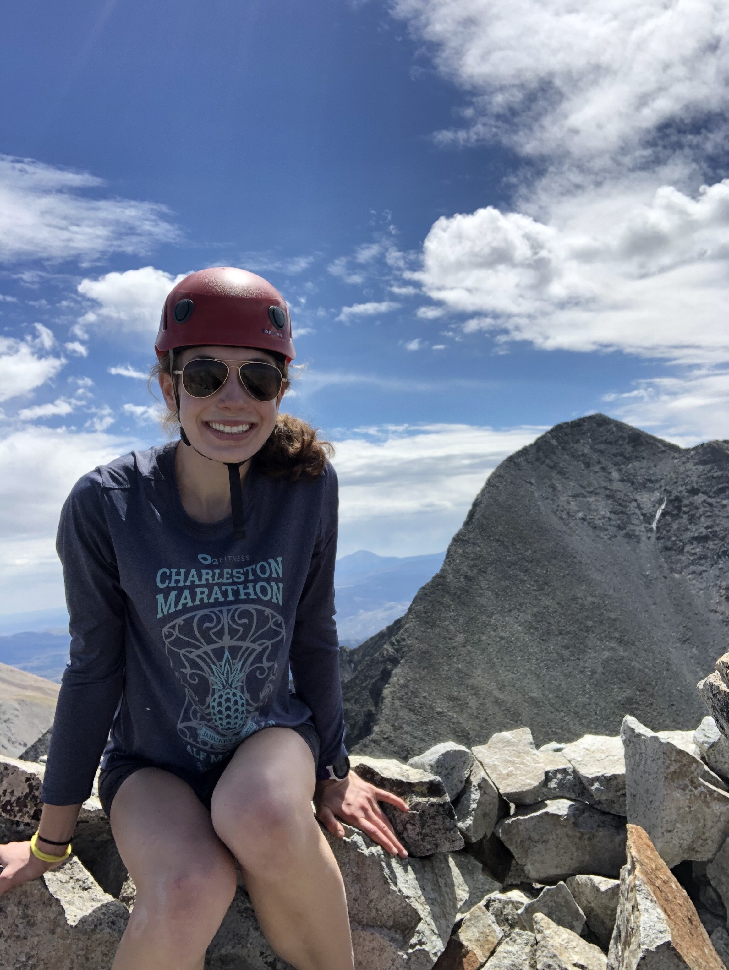
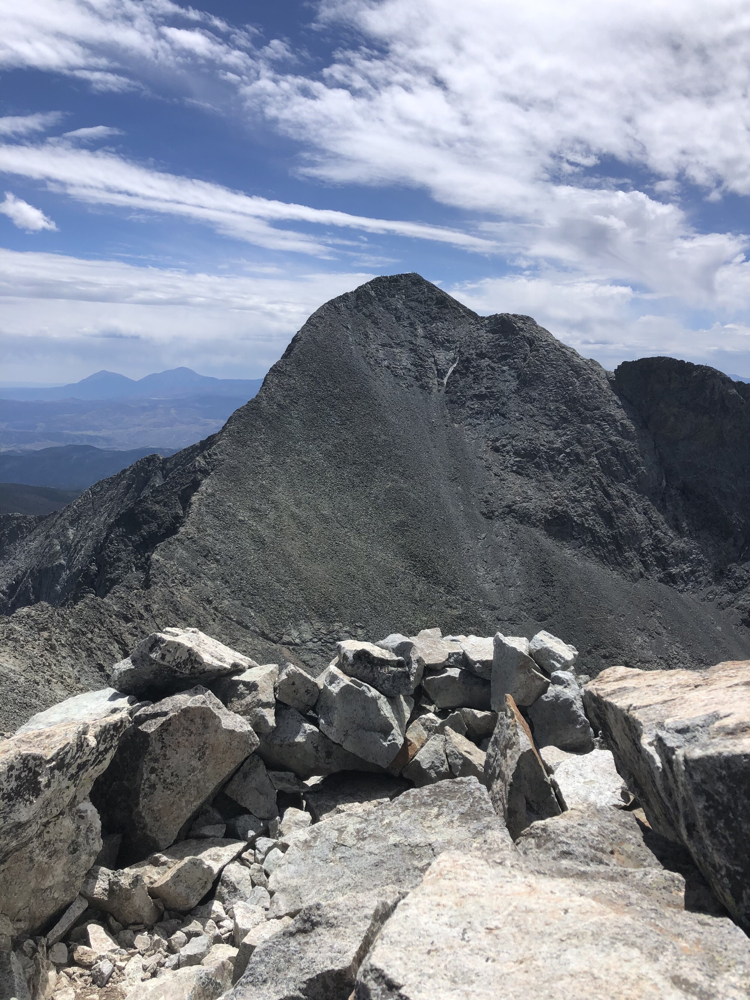
I reached the 14,345’ Blanca Peak summit 5 hours and 32 minutes/9.03 miles after I started. I had the summit to myself for 10 minutes. I intended to take a longer break at Ellingwood, but stayed around a little longer (it still was only 13 minutes total) so I could get someone to take my picture hahaha. I have had plenty of experience with self timer pictures this summer (more on this later….keep reading) and I’m happy that I waited because the pictures turned out pretty good! It was awesome seeing Mt. Lindsey (2nd picture on 2nd row) which I climbed last summer and then getting a great view of Ellingwood Point (3rd picture on 1st row) which I would be up at soon!
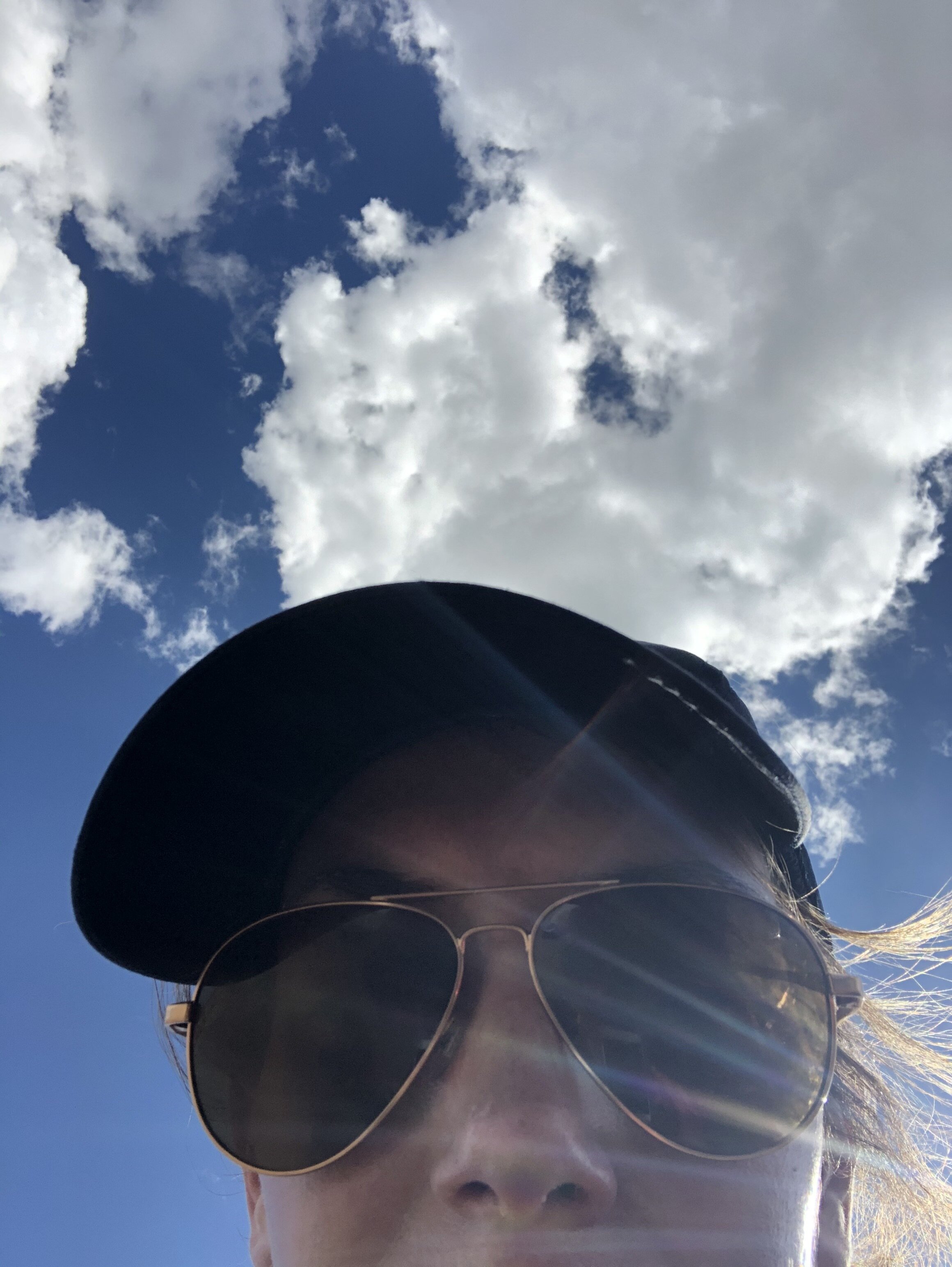
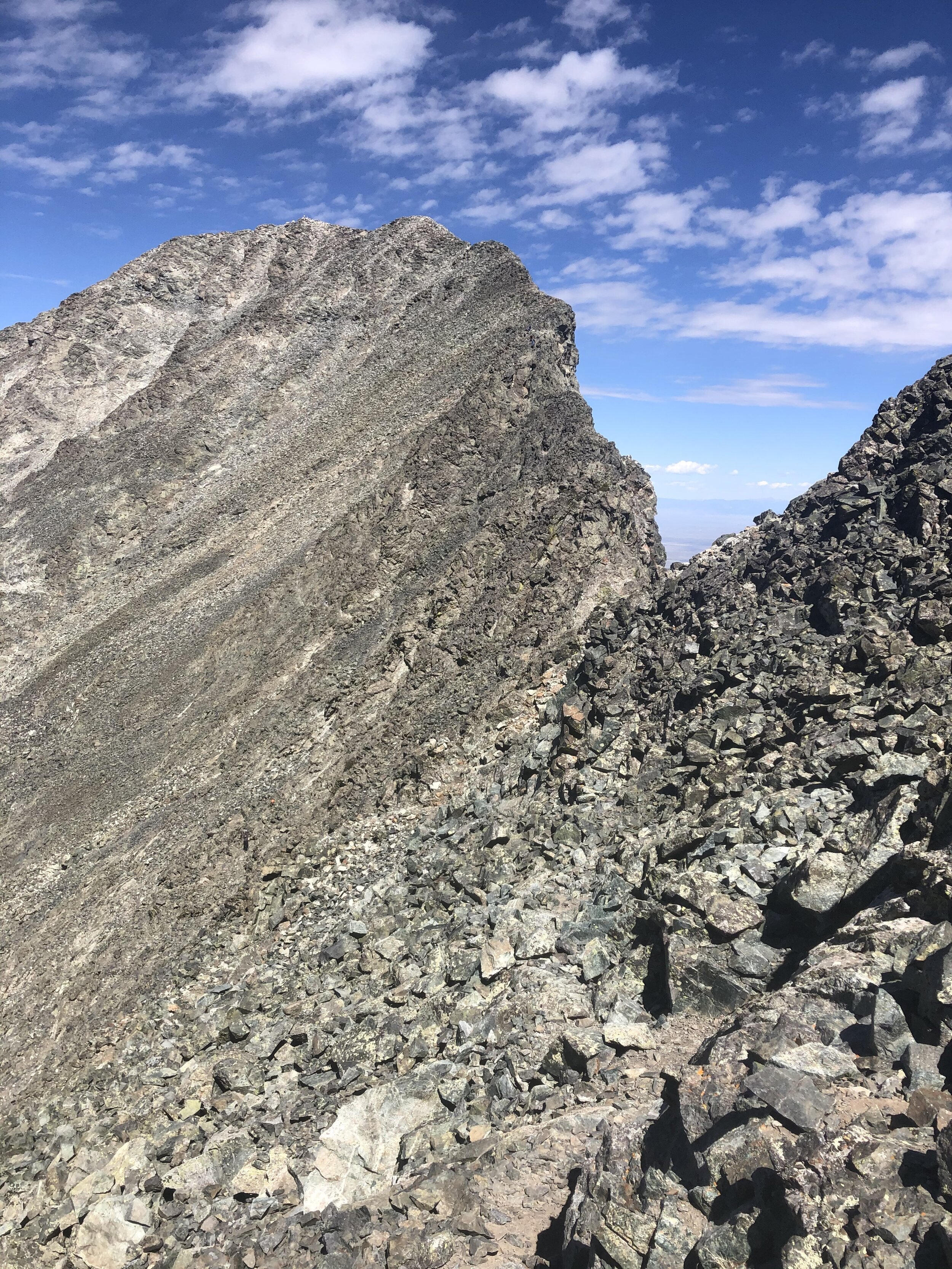
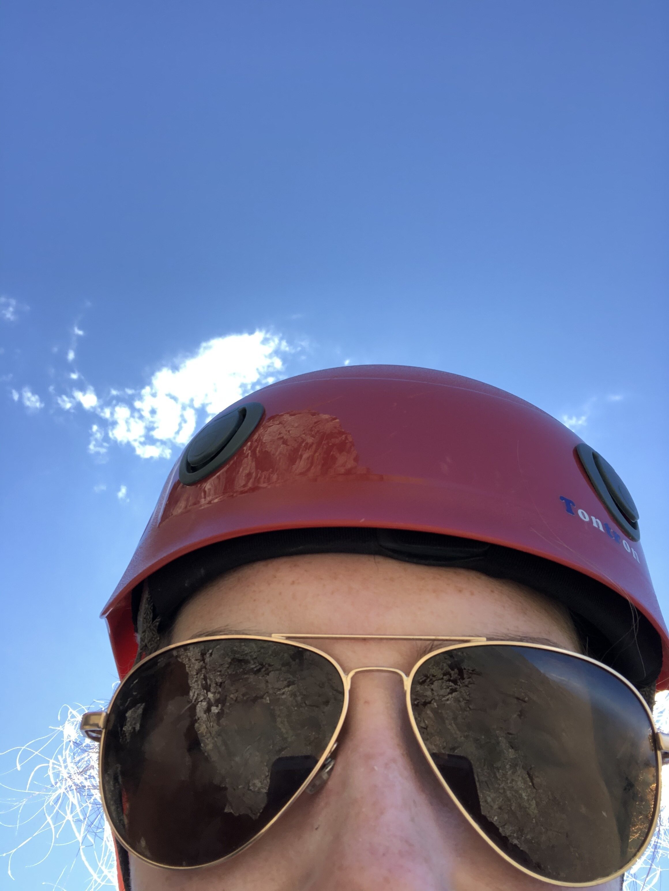
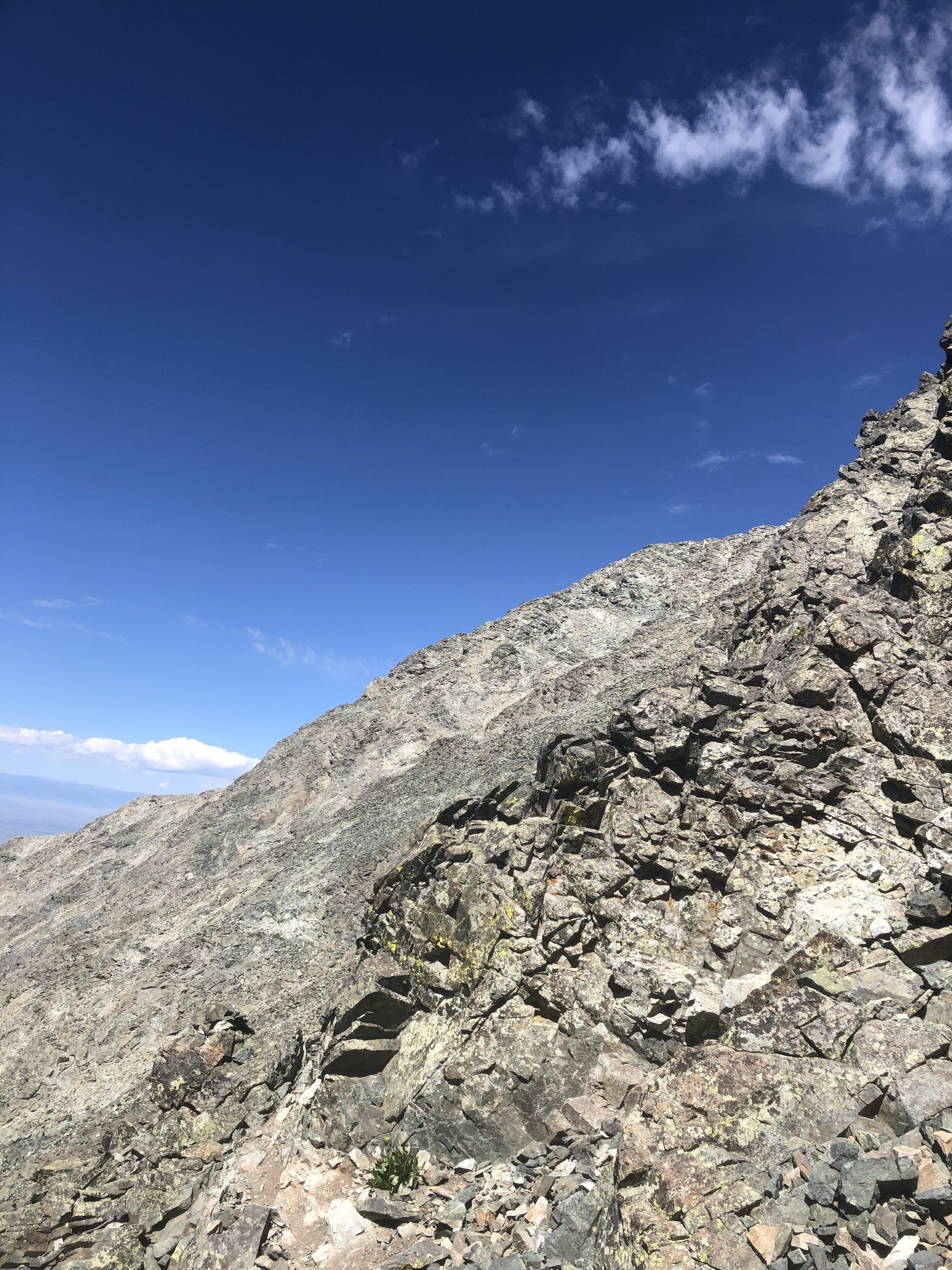
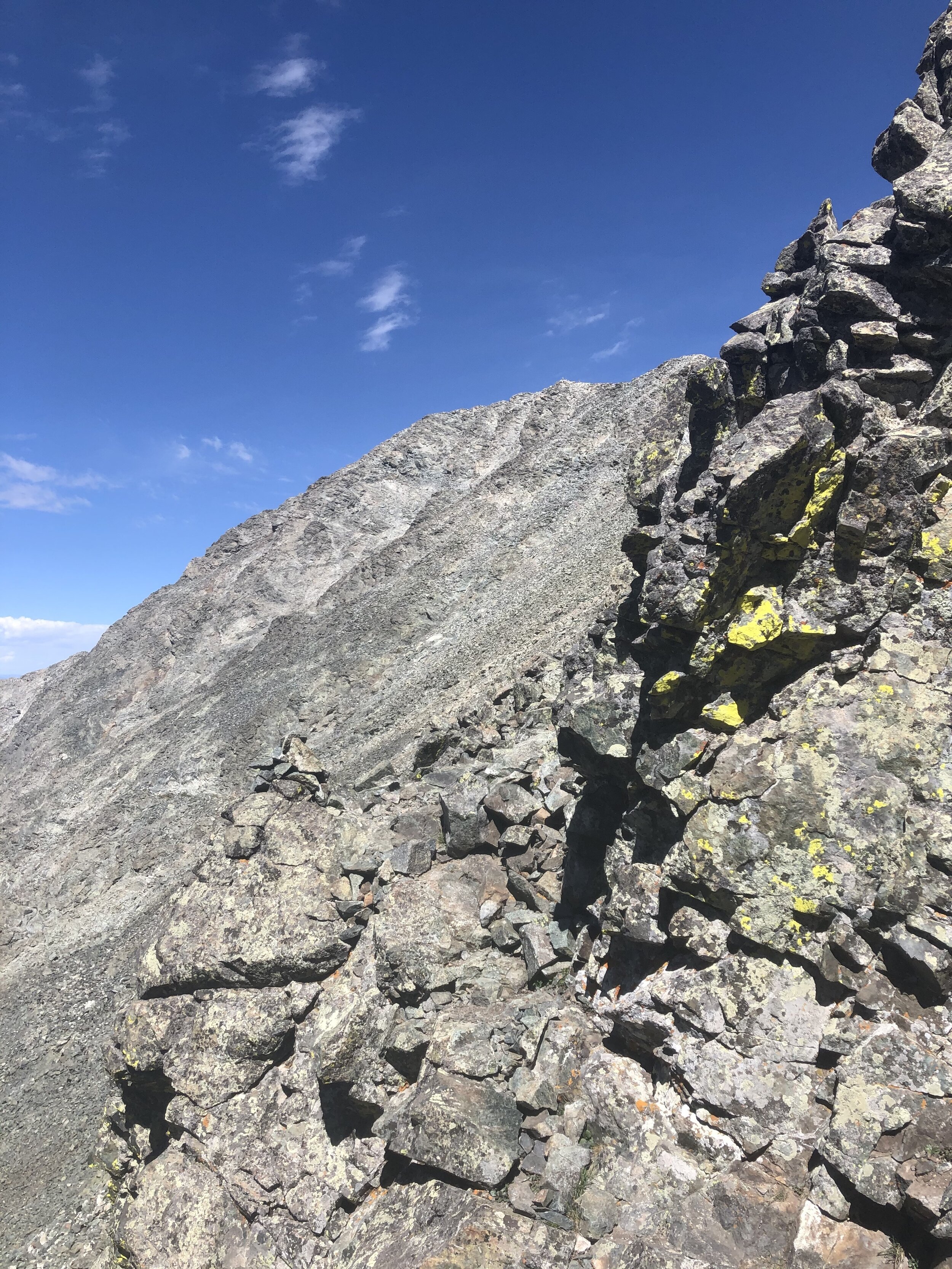
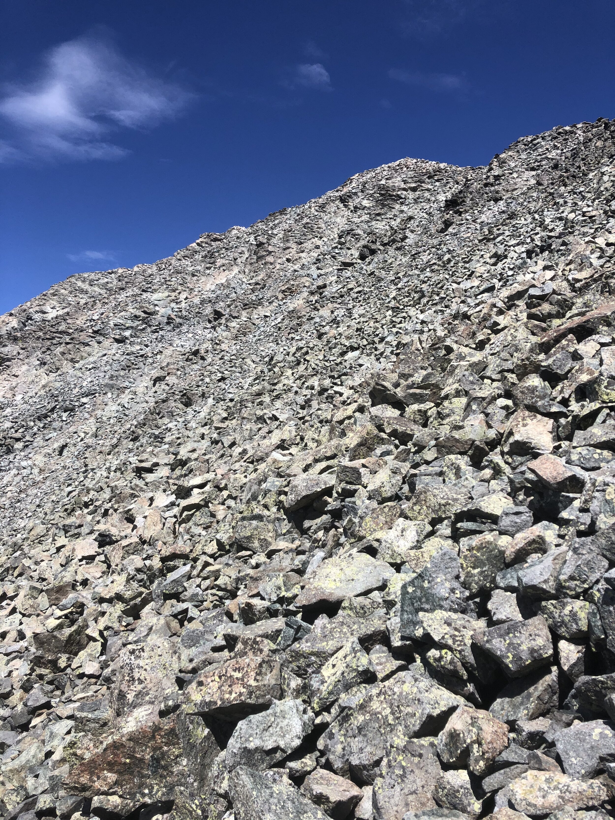
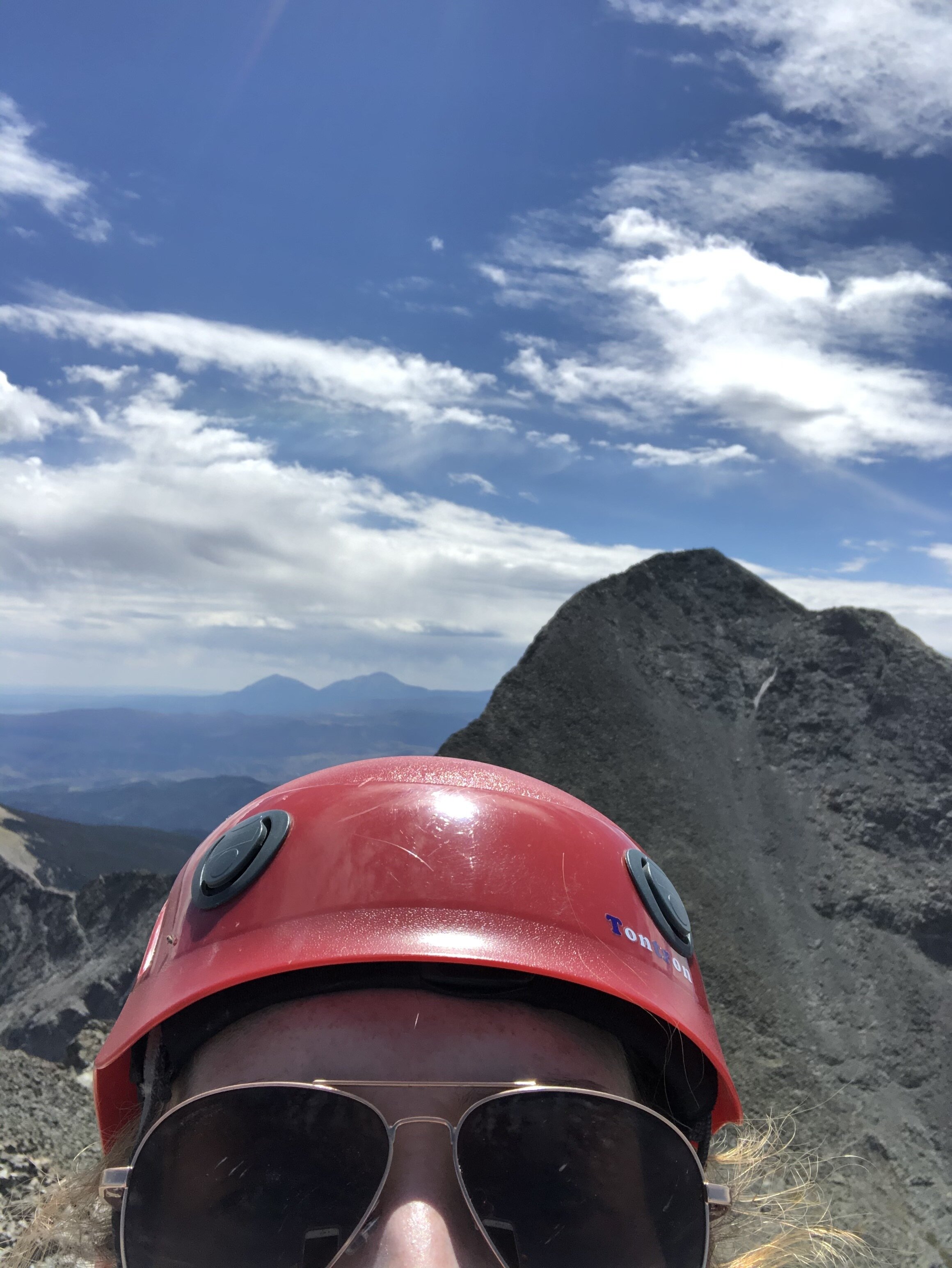
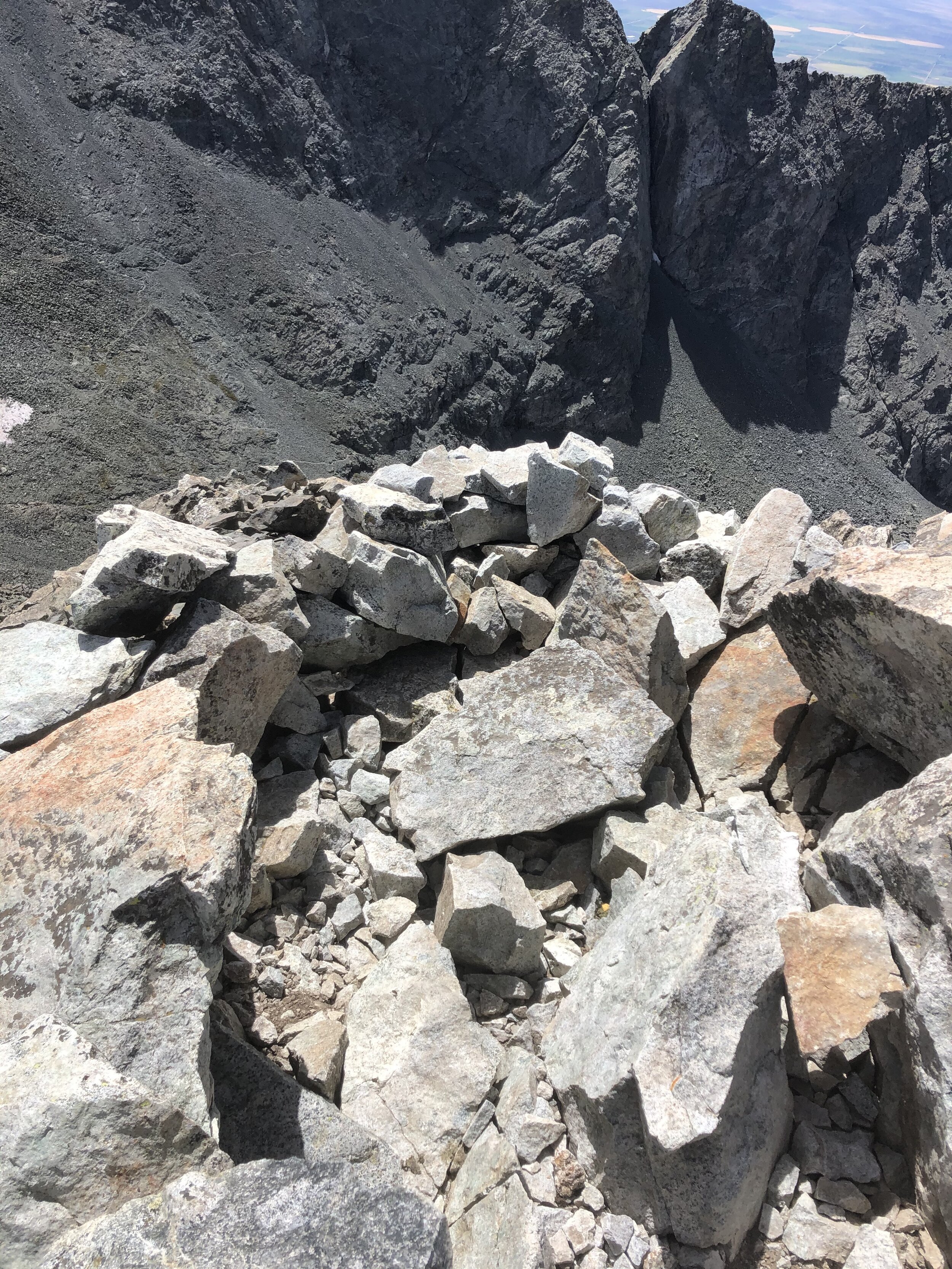
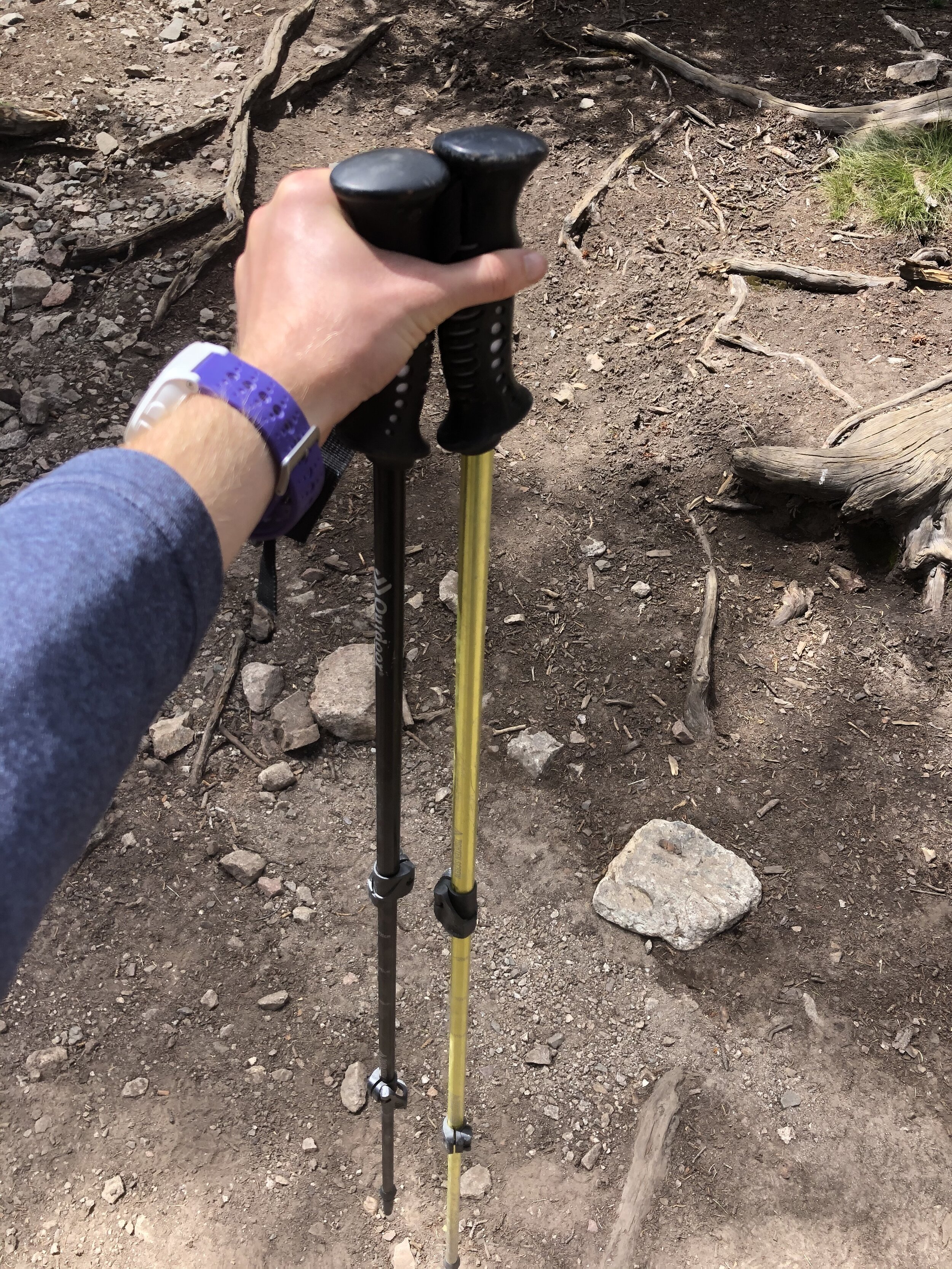
24 minutes later, I made it back down to the ridge and put on my helmet to do the traverse (class 3) over to Ellingwood Point. I took a cute kristin selfie with my awesome helmet on. The traverse was pretty simple in my opinion. Some of the people coming from/came from Ellingwood said it was a little confusing, but I disagree. One important thing I have learned this summer especially is that EVERYTHING is relative to your own experiences. What is easy for someone is hard or impossible for someone else, and there is always that mountain dude that is an expert and you are like “wow, impressive, what the heck”. Anyways, here are some cool pictures from the traverse.
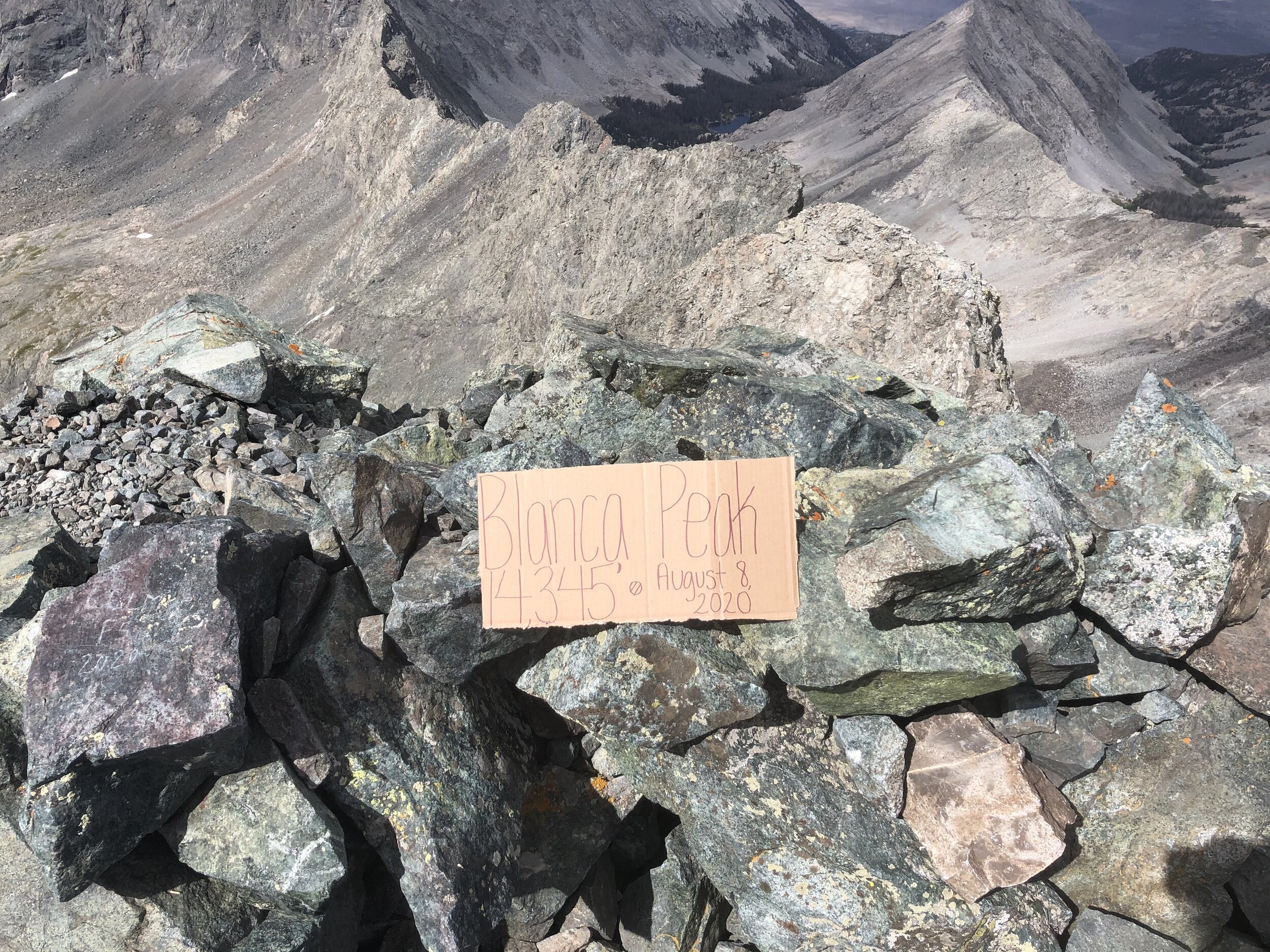
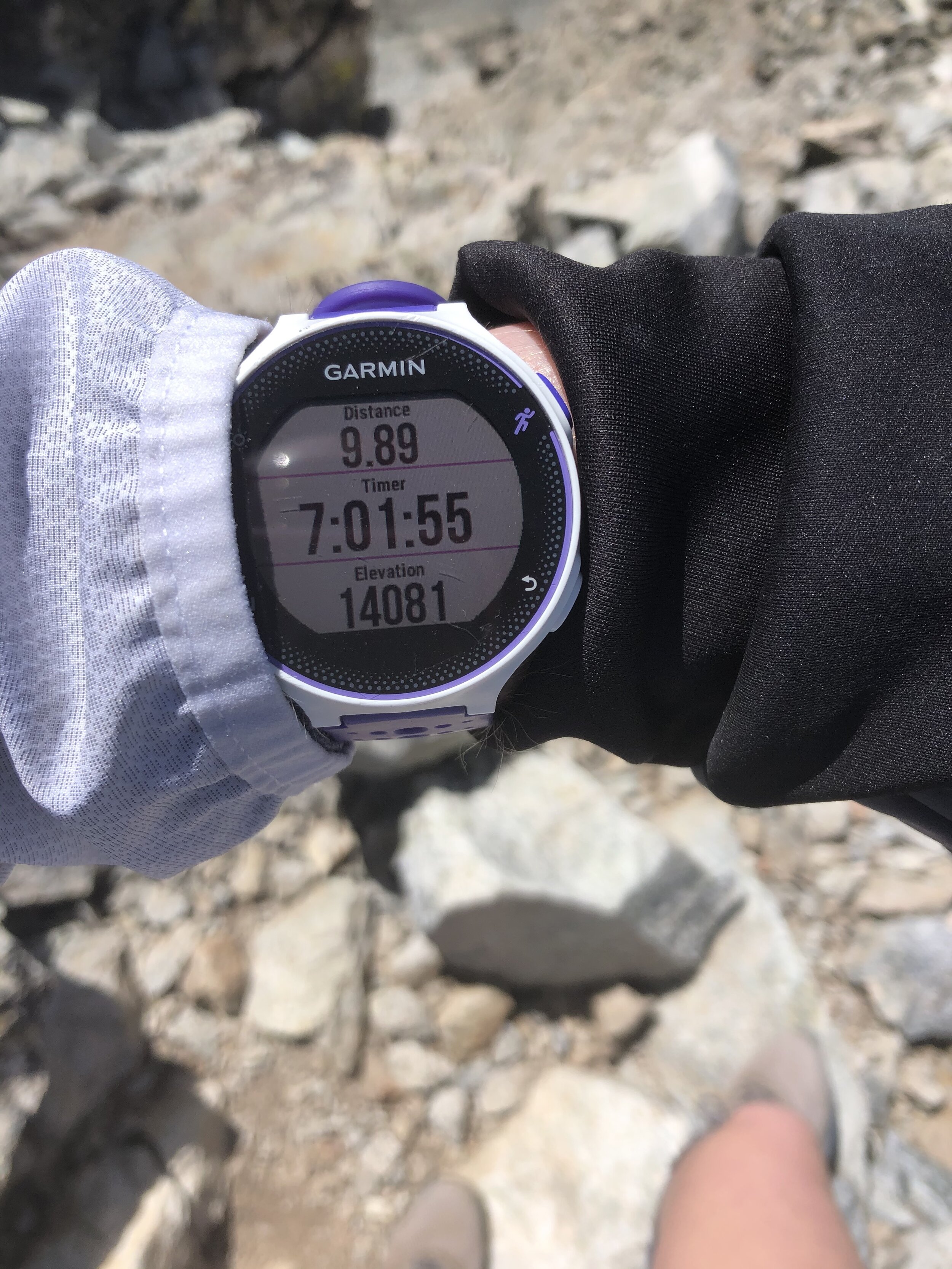
At the 7 hour and 1 minute/9.89 mile mark, I made it to the summit of Ellingwood Point!! I had the summit all to myself the entire time that I stayed up there (almost 30 minutes). I was a little surprised given that it was a Saturday, but I’m not complaining haha. Only thing that stinks when this happens is the dreaded self timer picture. The pictures I took were not that good haha, but they were alright with having Blanca Peak in the background!!
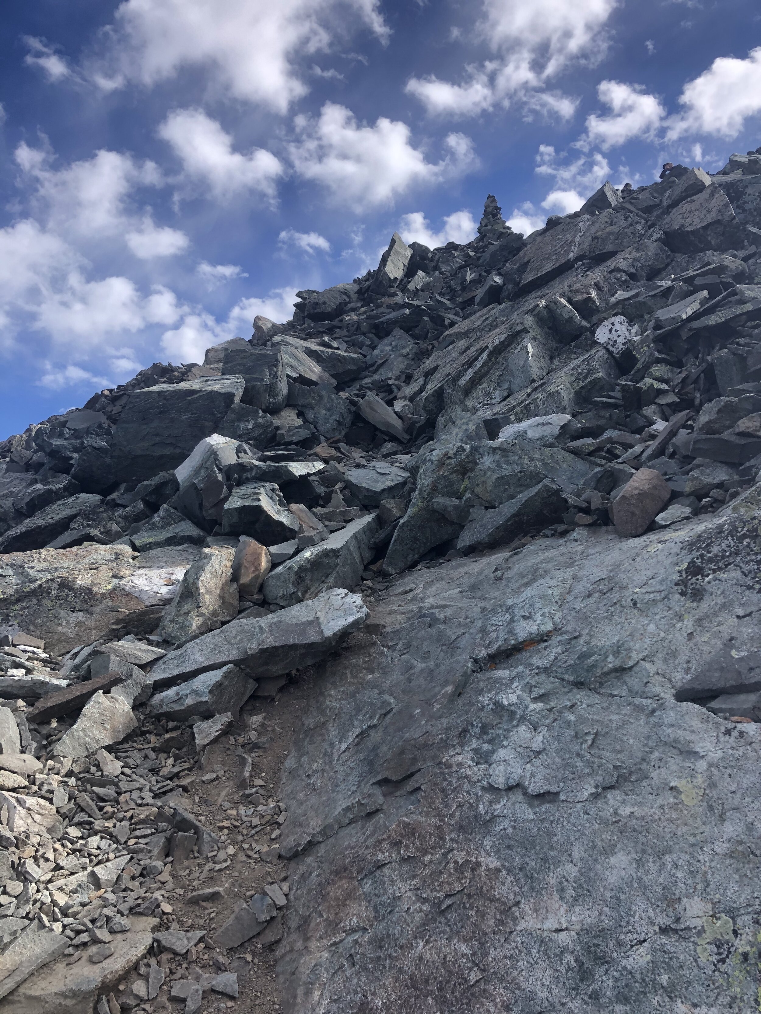
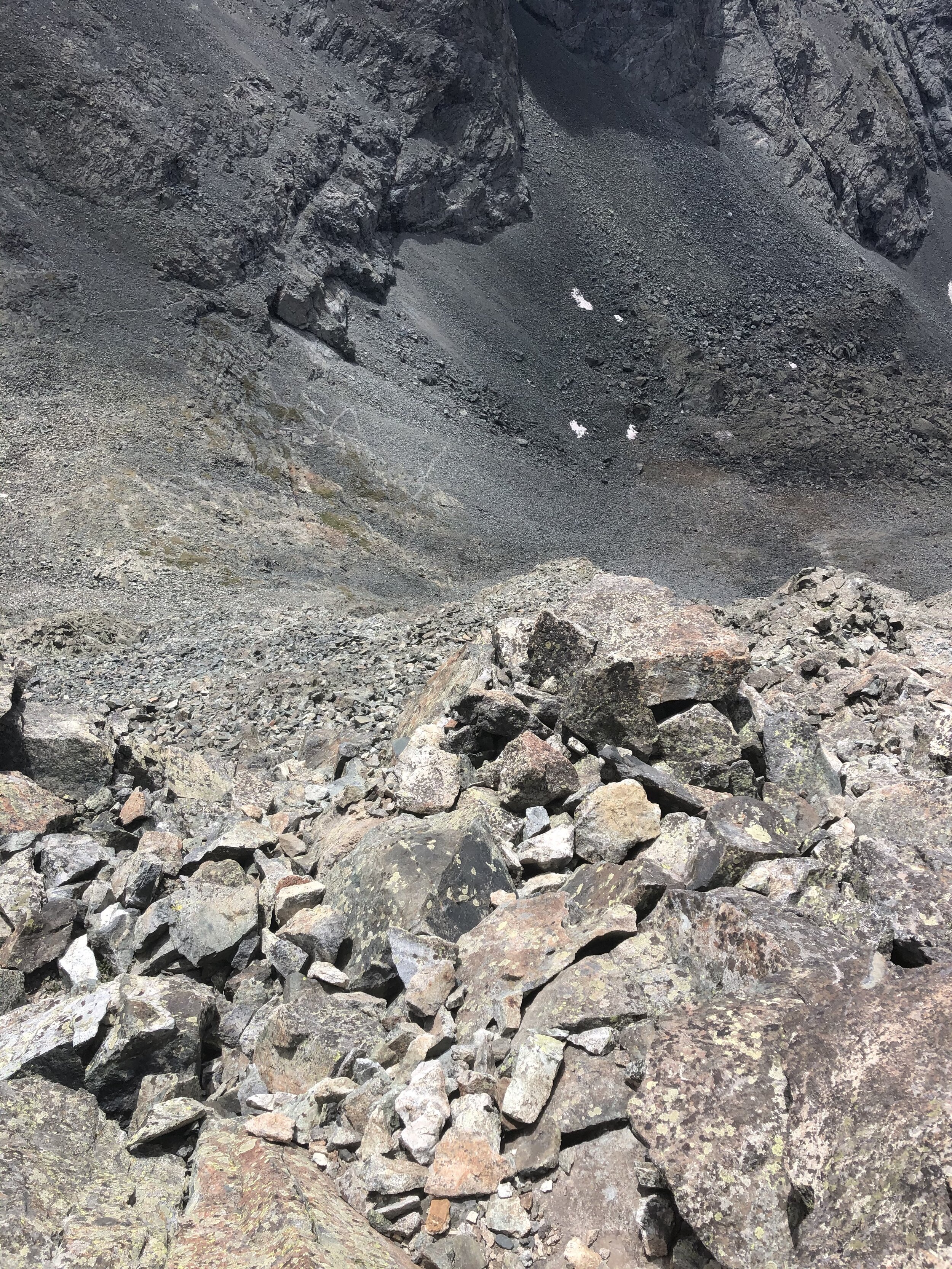
Soon enough, I started my descent. Route finding was pretty tough on the descent, not gonna lie. There were some cairns; however, for the most part, it felt like a “make up your own route”. It was quite refreshing once I got down to around ~13,000’ and was back on the route/no more hard route-finding for the rest of this trip.
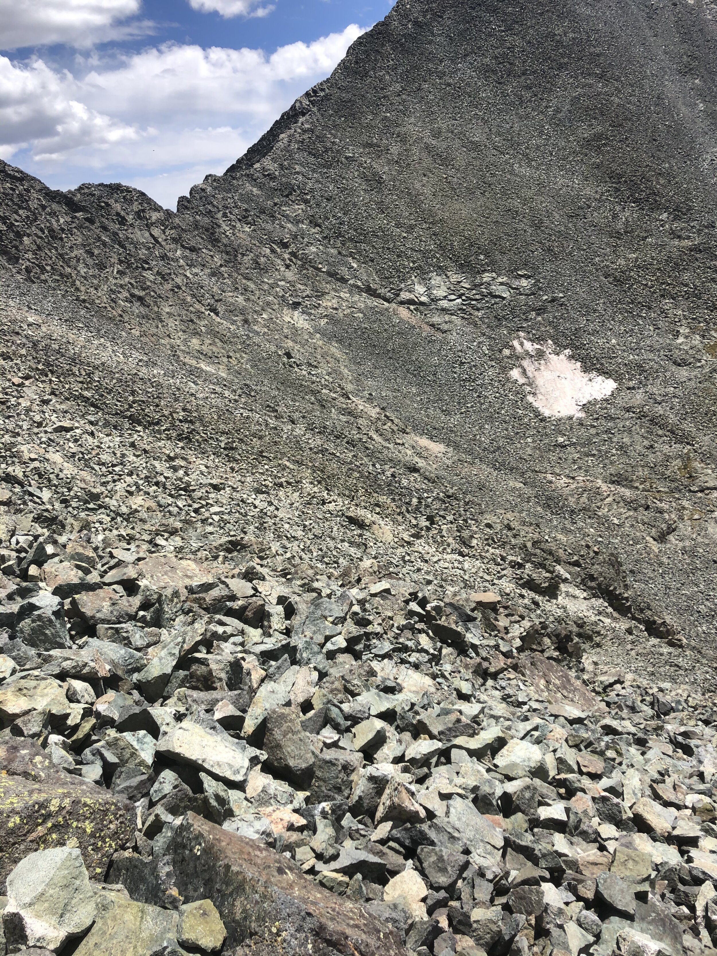
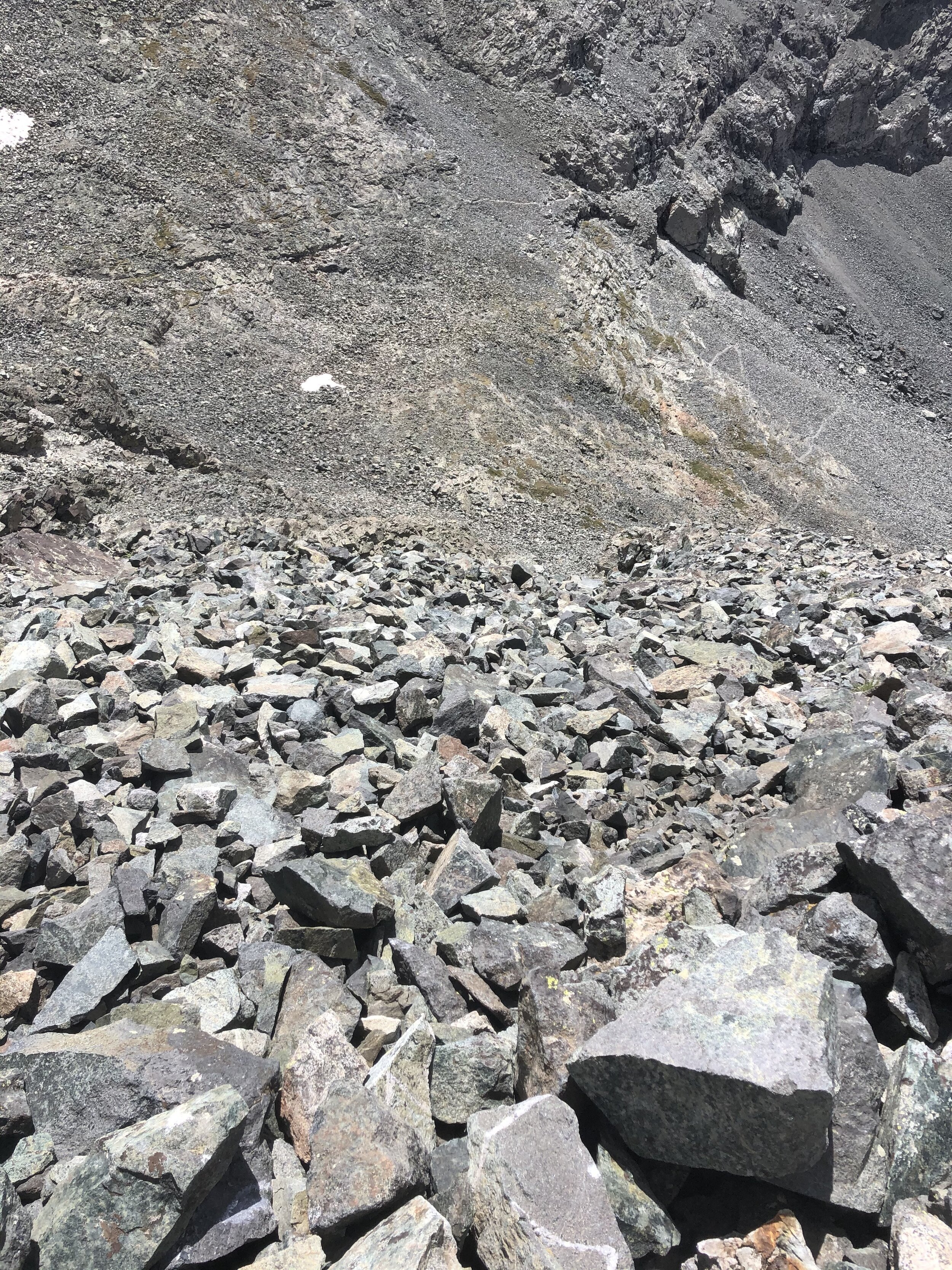
I took a picture (first one) looking back up at the saddle and had a nice lil walk until I got back to Lake Como. Nothing special to say about this part, but here are some pictures below.
A little over 9 hours and 30 minutes after I started, I made it back to Lake Como (don’t worry, I still had the whole trek to go down Lake Como Road). I took a quick break mainly to apply a lot of sunscreen and to take out my hiking poles to use for the rest of the hike. BYE LAKE COMO…SEE YA WHEN I DO LITTLE BEAR NEXT!
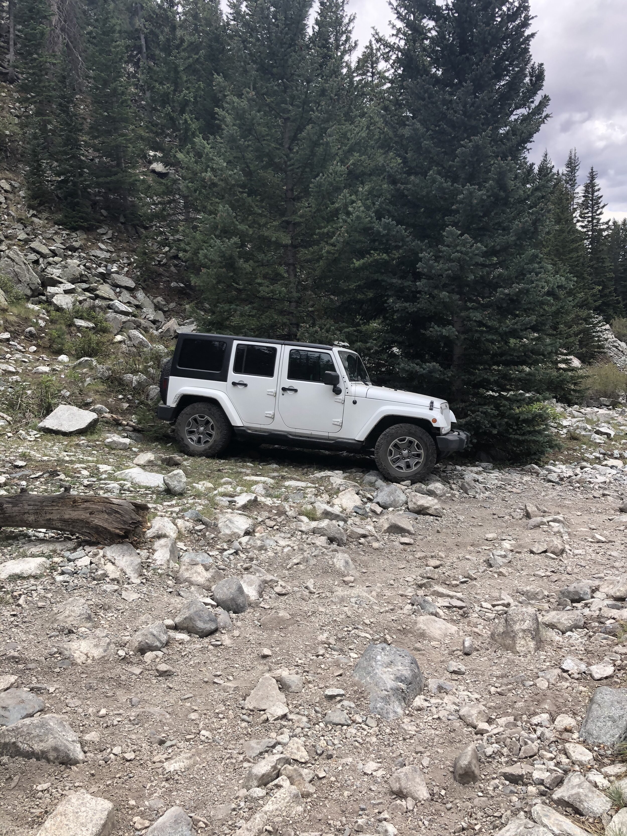
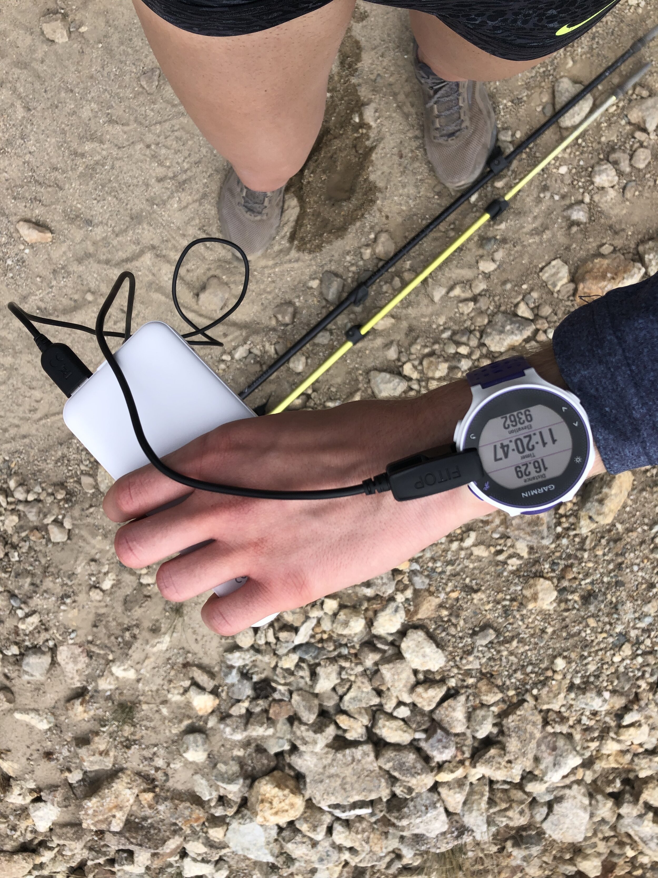
I was happy to be descending Lake Como Road. It progressively was getting hotter as I descended lol. So, the highest vehicle parked was this white jeep at approximately 10,750’. There was another Jeep parked next to it this morning too for anyone curious how far up some vehicles could make it. I watched some ATVs go up the road and it is beyond me why they didn’t have helmets on when the ATVs looked like they were going to tip backwards…. I would never get on ATV not just on this road, but anywhere…they are not safe at all imo. Similar to Crestone Needle, my portable charger came in handy when my watch started blinking “Low Battery”.
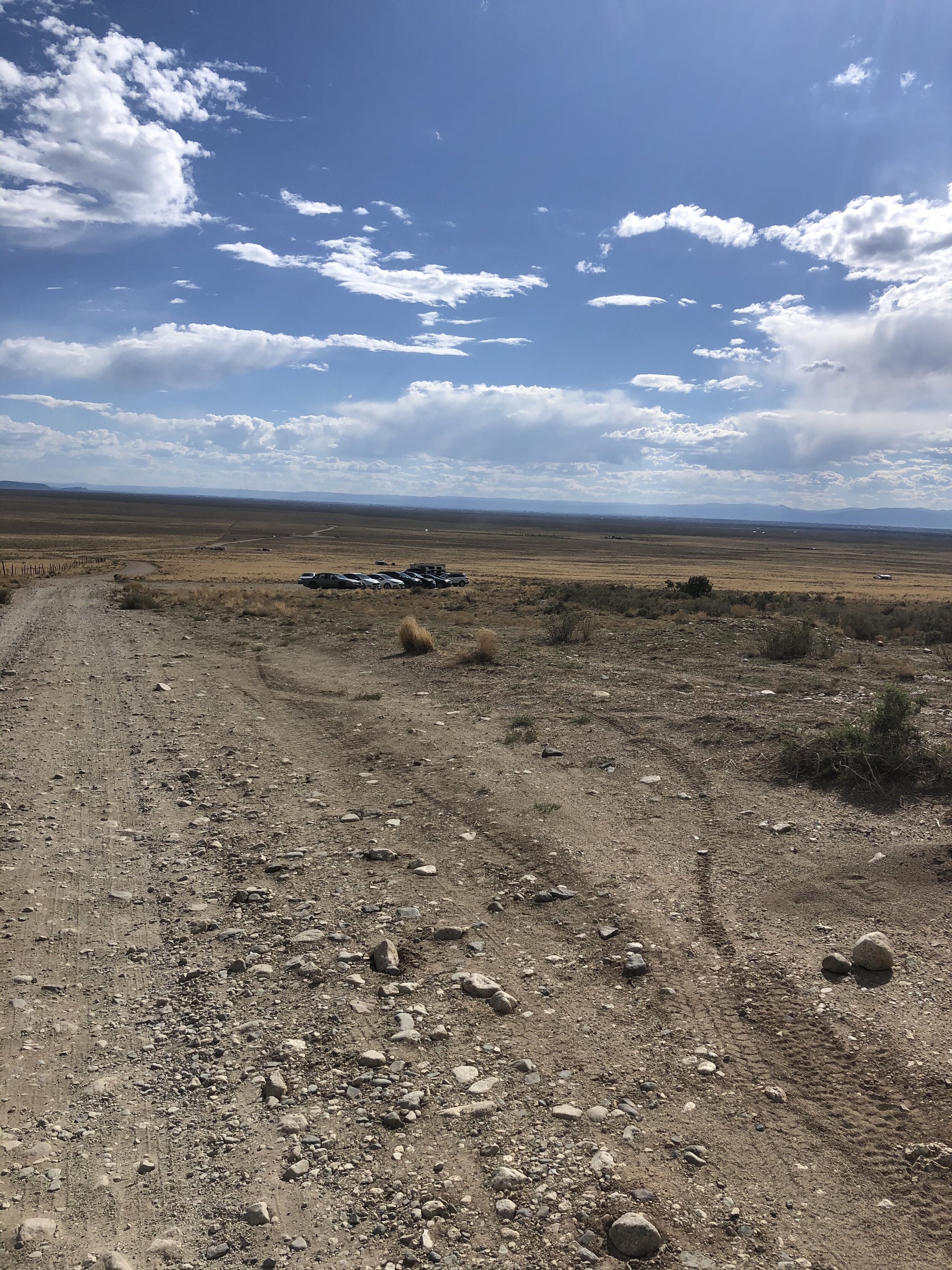
It really was getting so hot out during this hike down Lake Como Road. The first picture below is the parking lot at the very bottom of the road--I am soooo close yet soooo far (I was only 3 minutes away lmao). The third and fourth pictures were taken seconds after I stopped my watch and I OFFICIALLY COMPLETED THE BLANCA PEAK AND ELLINGWOOD POINT ADVENTURE!!! This was quite the day….very long but I prefer these long days over camping at the lake and then hiking up…for 2 reasons. 1) I am by myself and camping by myself doesn't sound fun to me and 2) I don’t need to split the hike up in 2 days to do it. I don’t know….there’s just something more fun about a super long day to me (I also have never camped before/during a hike before). Anyways, I soon enough left the parking lot and got back to the Springs around 7:30 pm. Best part of the week as usual!!!!!!