Castle Peak and Conundrum Peak
August 30, 2020 / 14,265’ (Castle) & 14,060’ (Conundrum)
RT STATS: TOTAL TIME - 9 HR & 15 MIN, 13.60 MILES, AND 5,193’ ELEVATION GAIN
TIME STATS: 4 Hr & 3 min car to castle summit, 8 min at castle summit, 48 min over to conundrum, 13 min at conundrum summit, 37 min back to castle summit, 12 min at castle summit, 3 hr & 13 min back to car
RATING (HOW MUCH I LIKED THE HIKE): 9/10
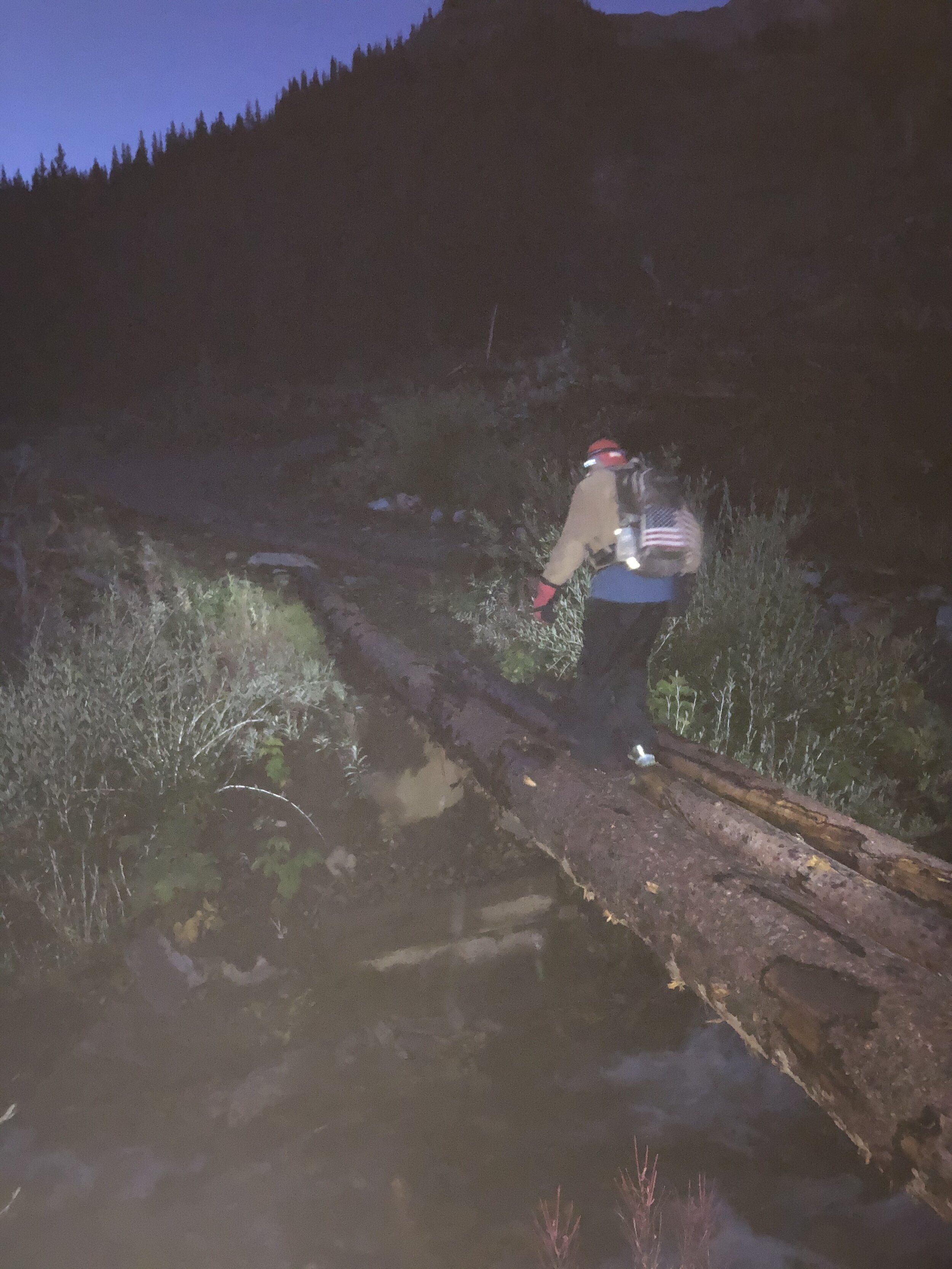
Yay, my first 2 14ers (#42 and #43) in the Elk Range! Originally, we had planned to do this hike on Saturday the 29th; however, the weather was looking just awful. It turned out (we think) that we could have hiked no problem on Saturday, but, anyways, we still got it done—just a day later than planned! My sister and I drove up to Leadville on Friday the 28th to meet up with my dad and his friend Marcus. It was a nice weekend up in Leadville and Aspen. We stayed both nights in Leadville and woke up at 1:40 am Sunday morning to drive to the trailhead just outside of Aspen. Due to technical difficulties (aka having trouble with directions), we wasted about 1.5 hours and got a late start at 5:40 am. I love how 5:40 am has come to be a late start haha. We drove up the the FR 102 from the trailhead approximately 0.4 miles before starting.
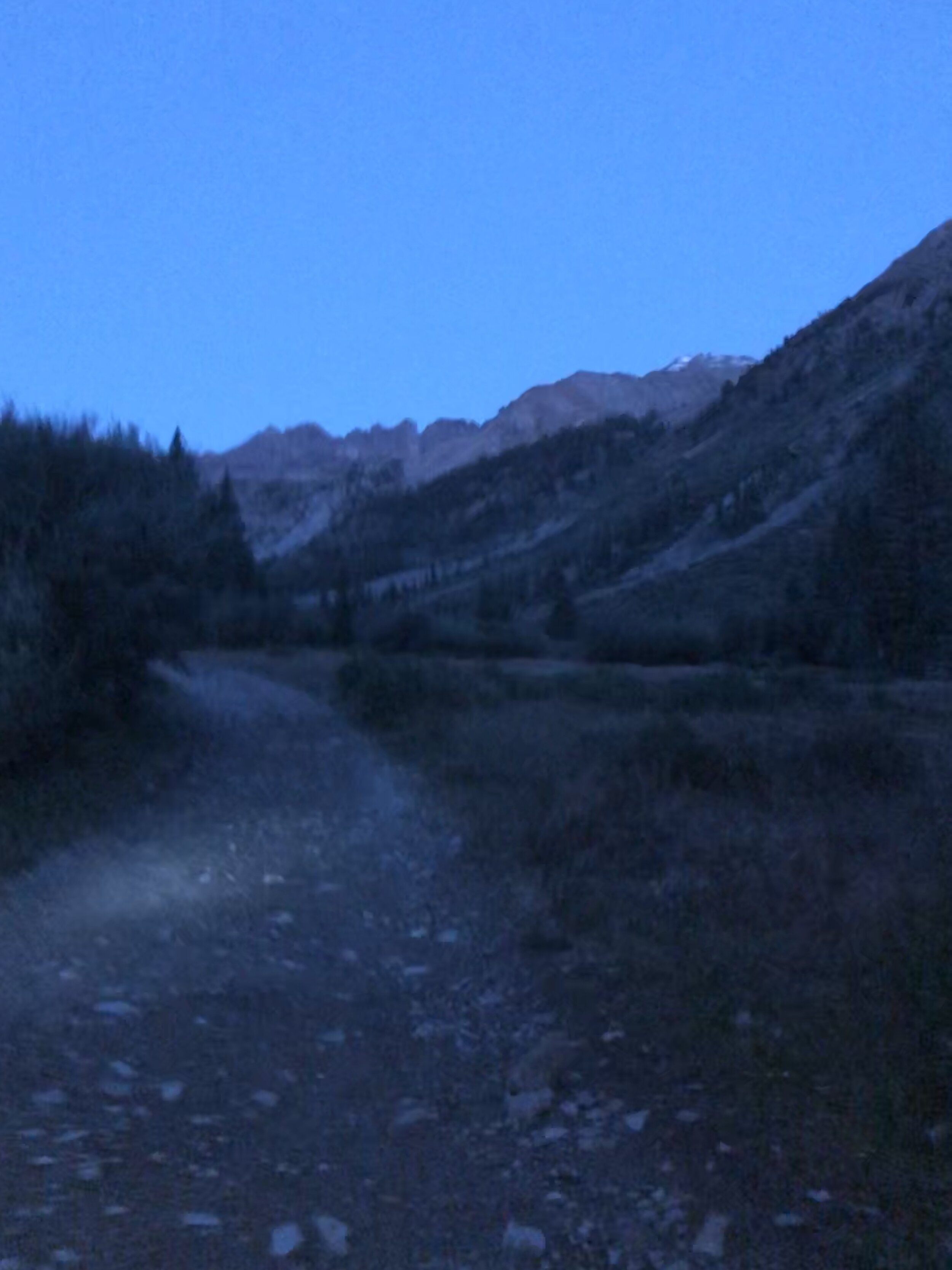
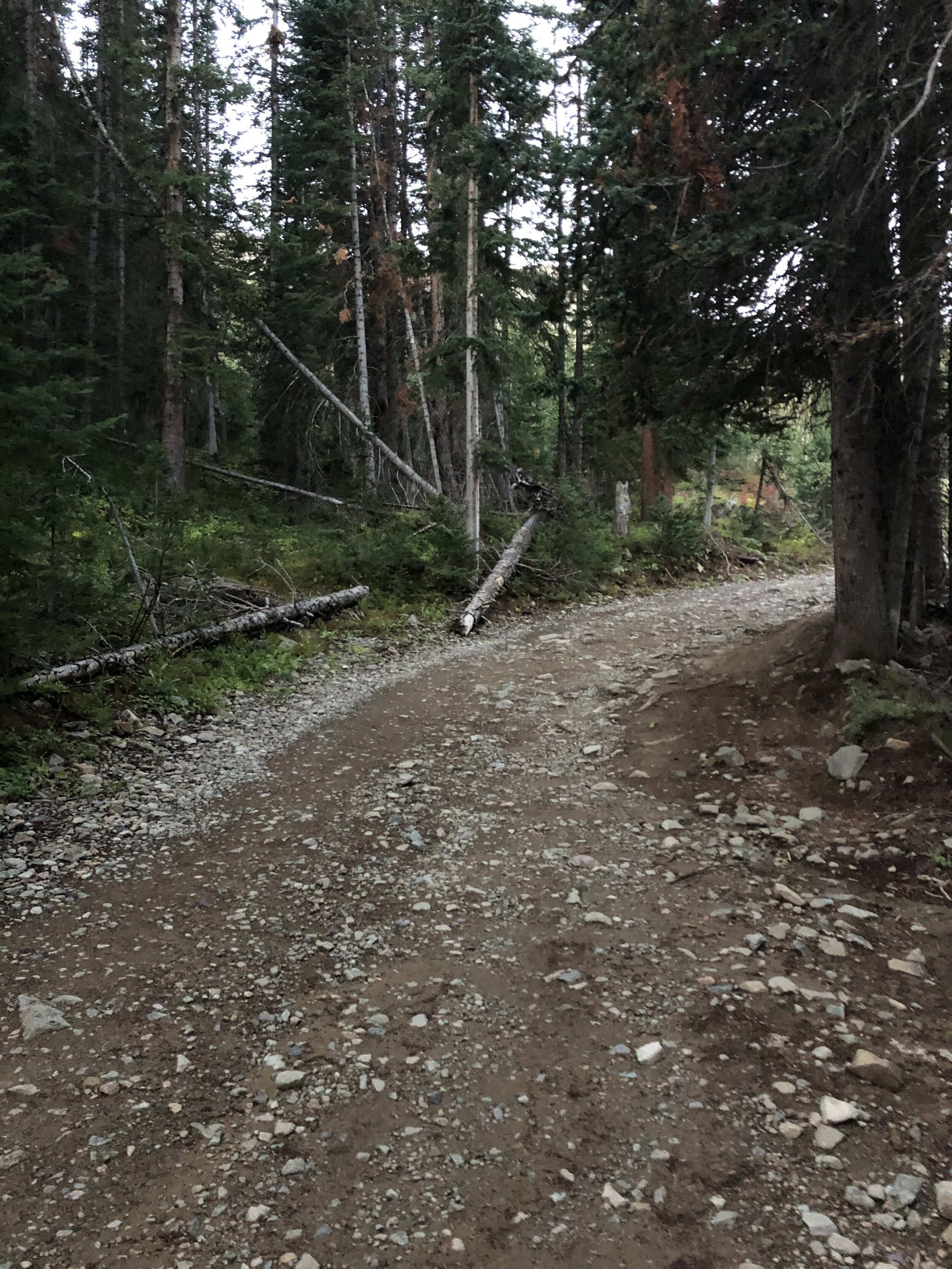
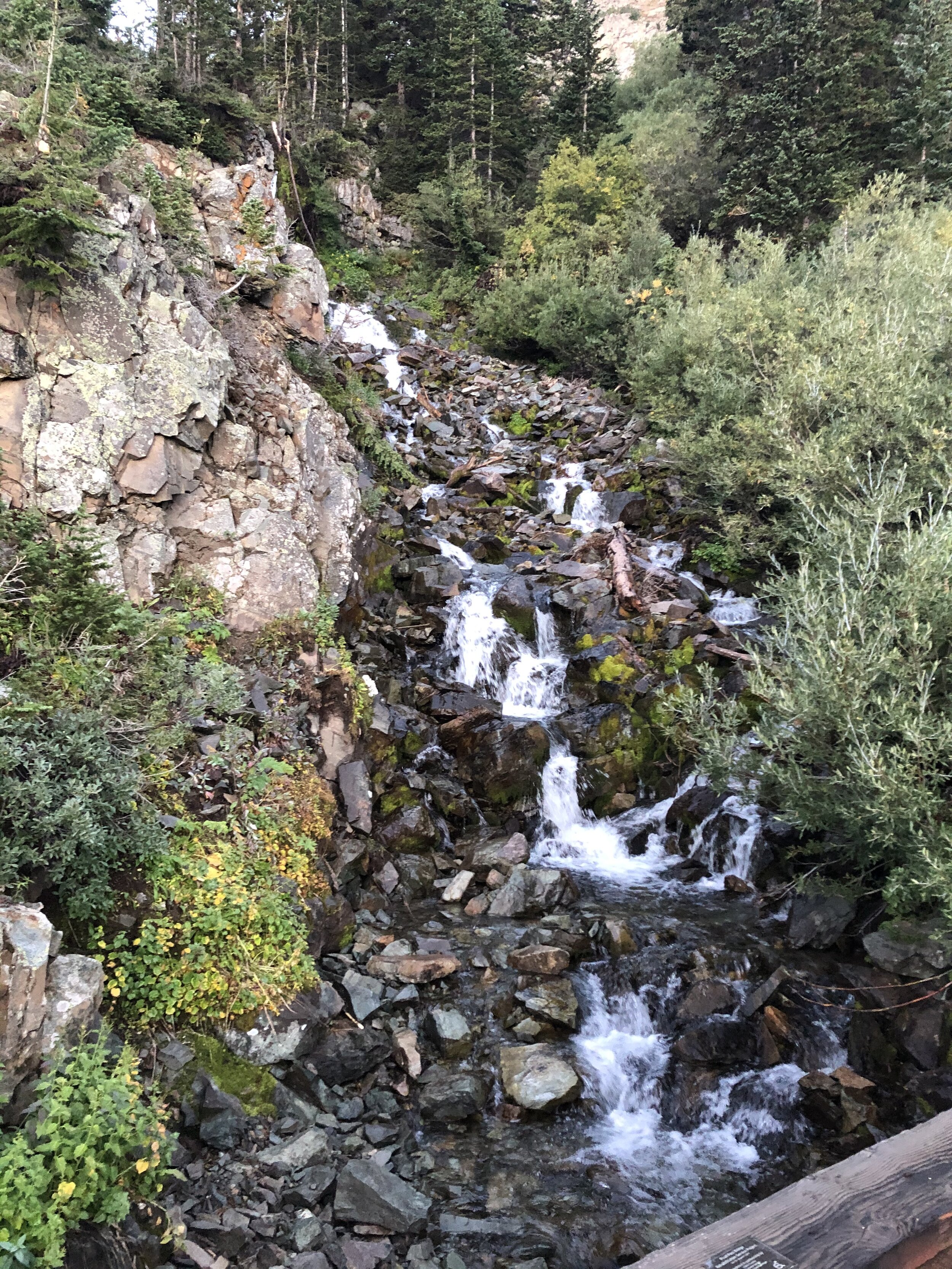
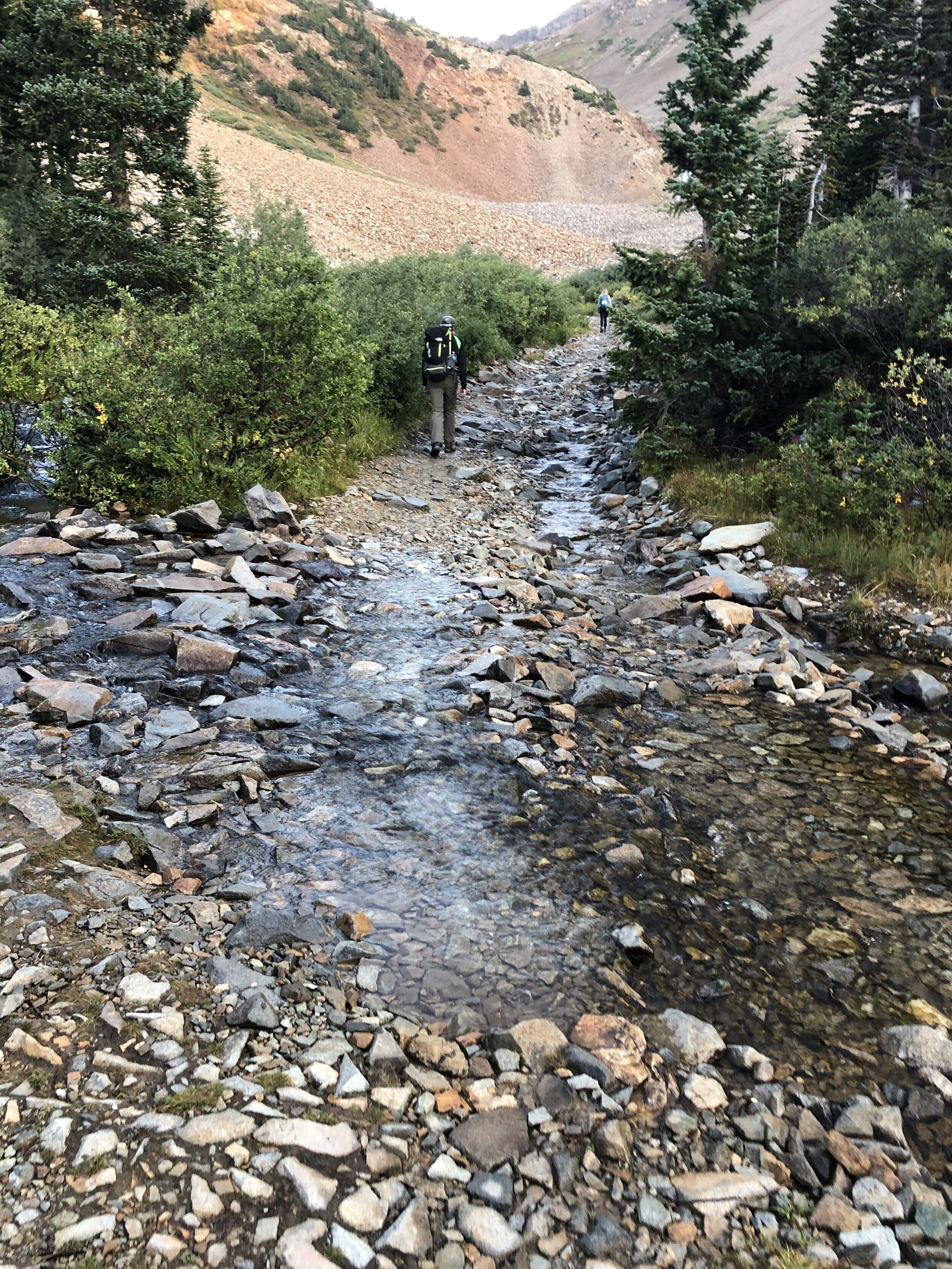
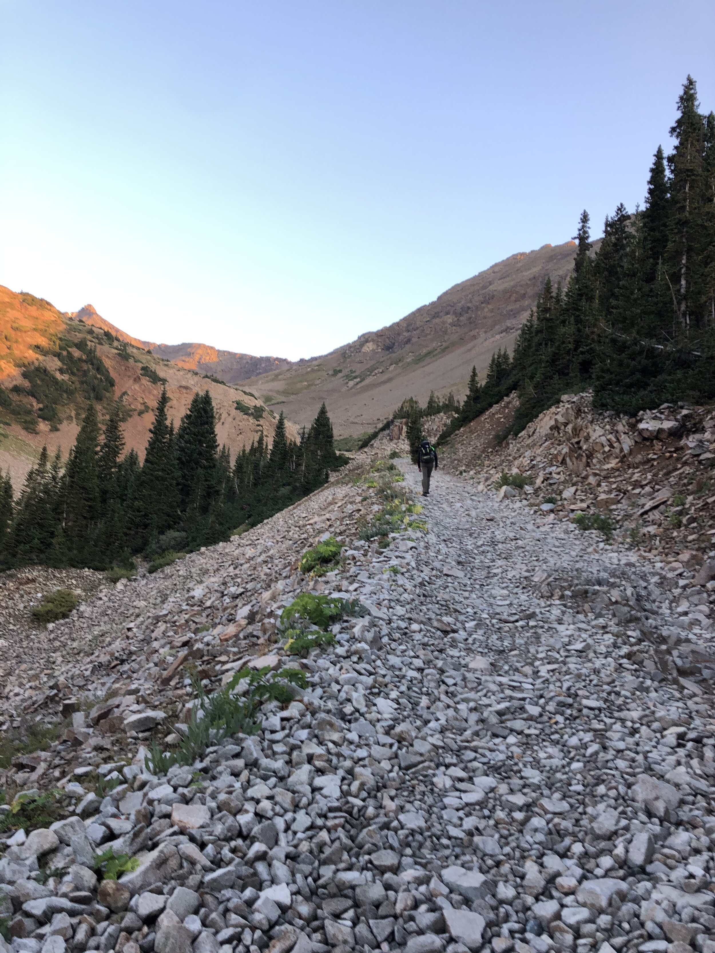
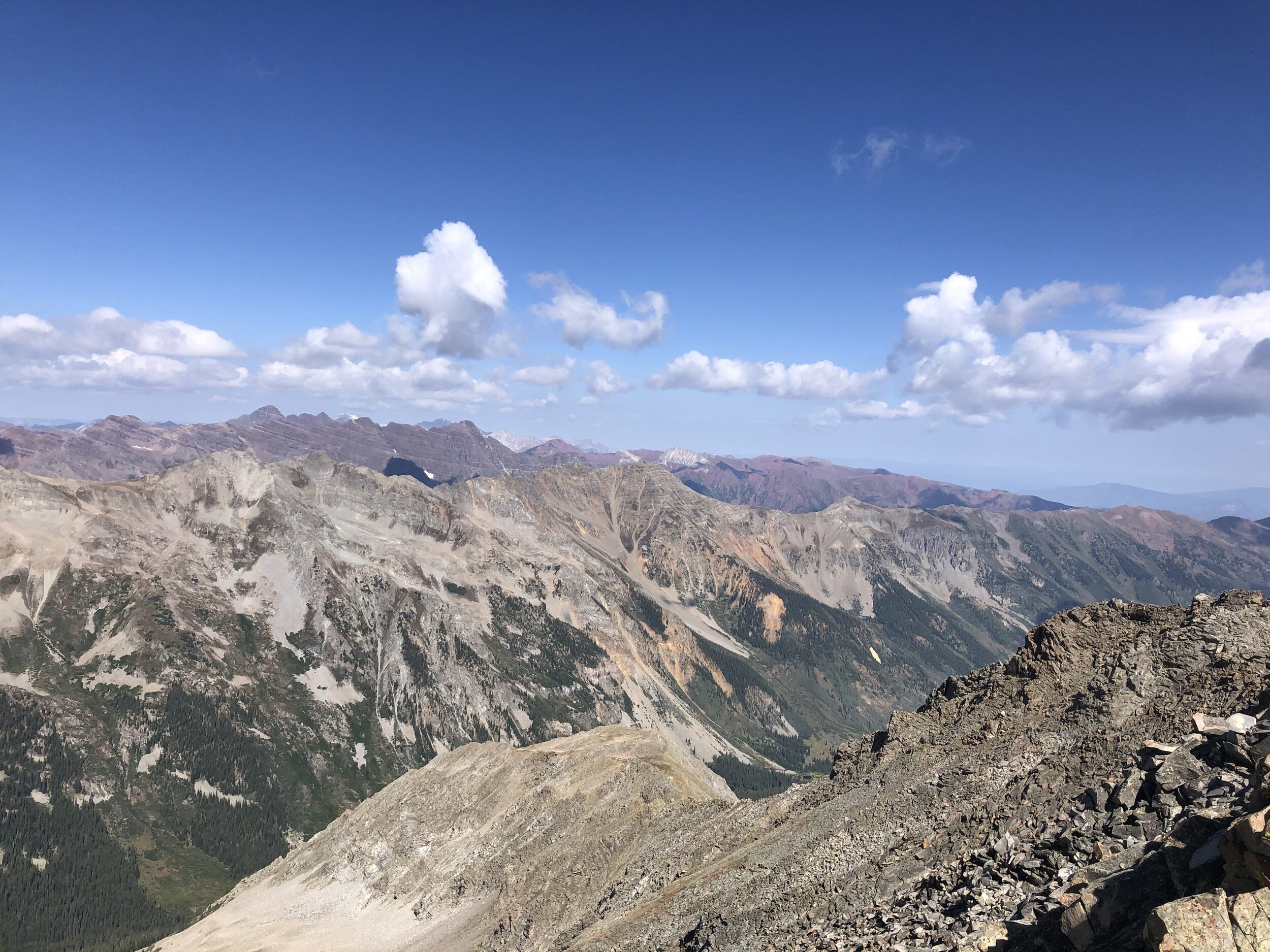
Honestly, it did not hit me until we were hiking that a lot of this hike was up the road (FR 102). It reminded me of Mt. Antero, except that Antero was LITERALLY up a road until the last few hundred feet in elevation gain. I took some pictures on the way up!
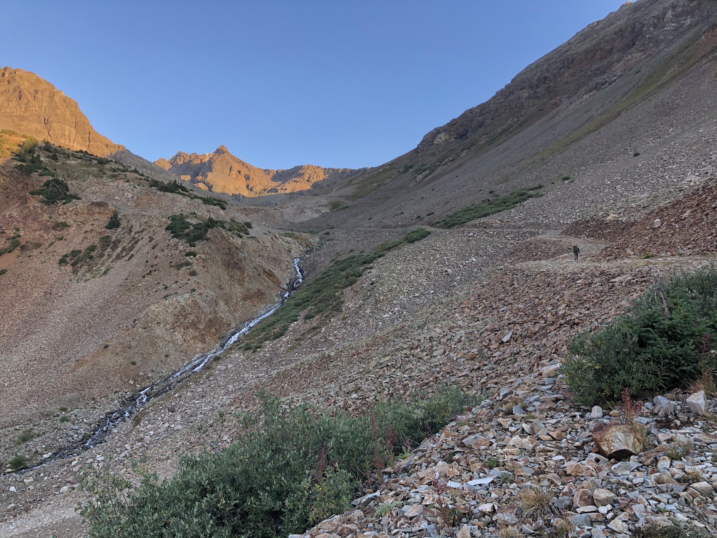
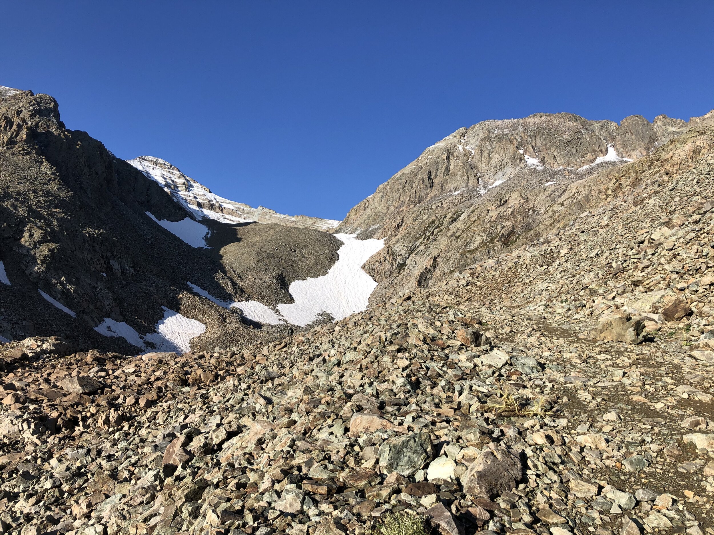
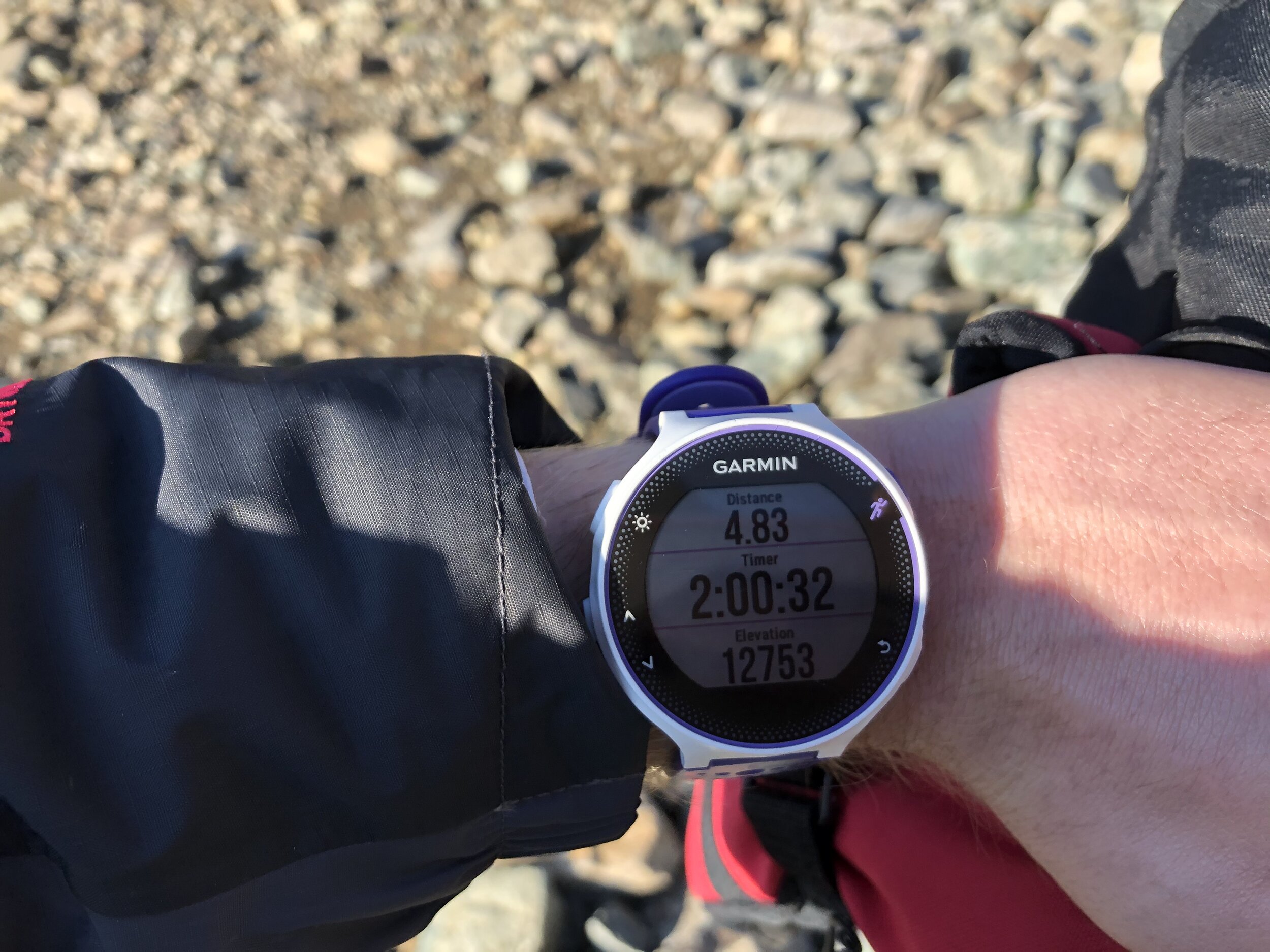
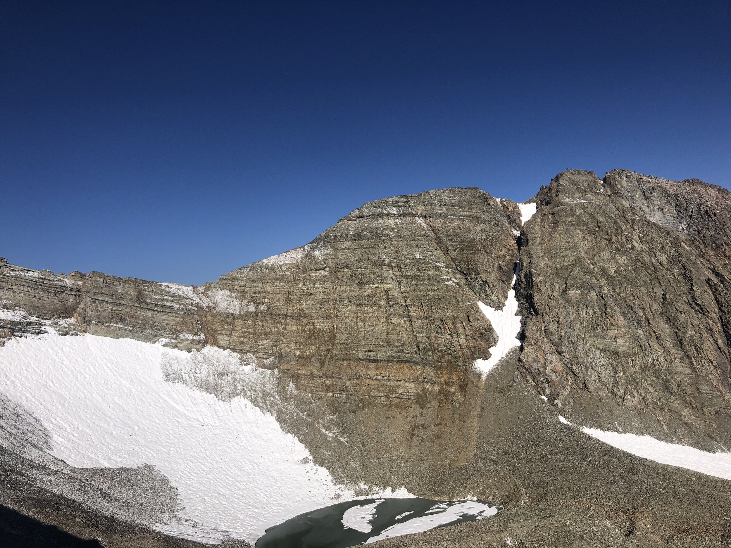
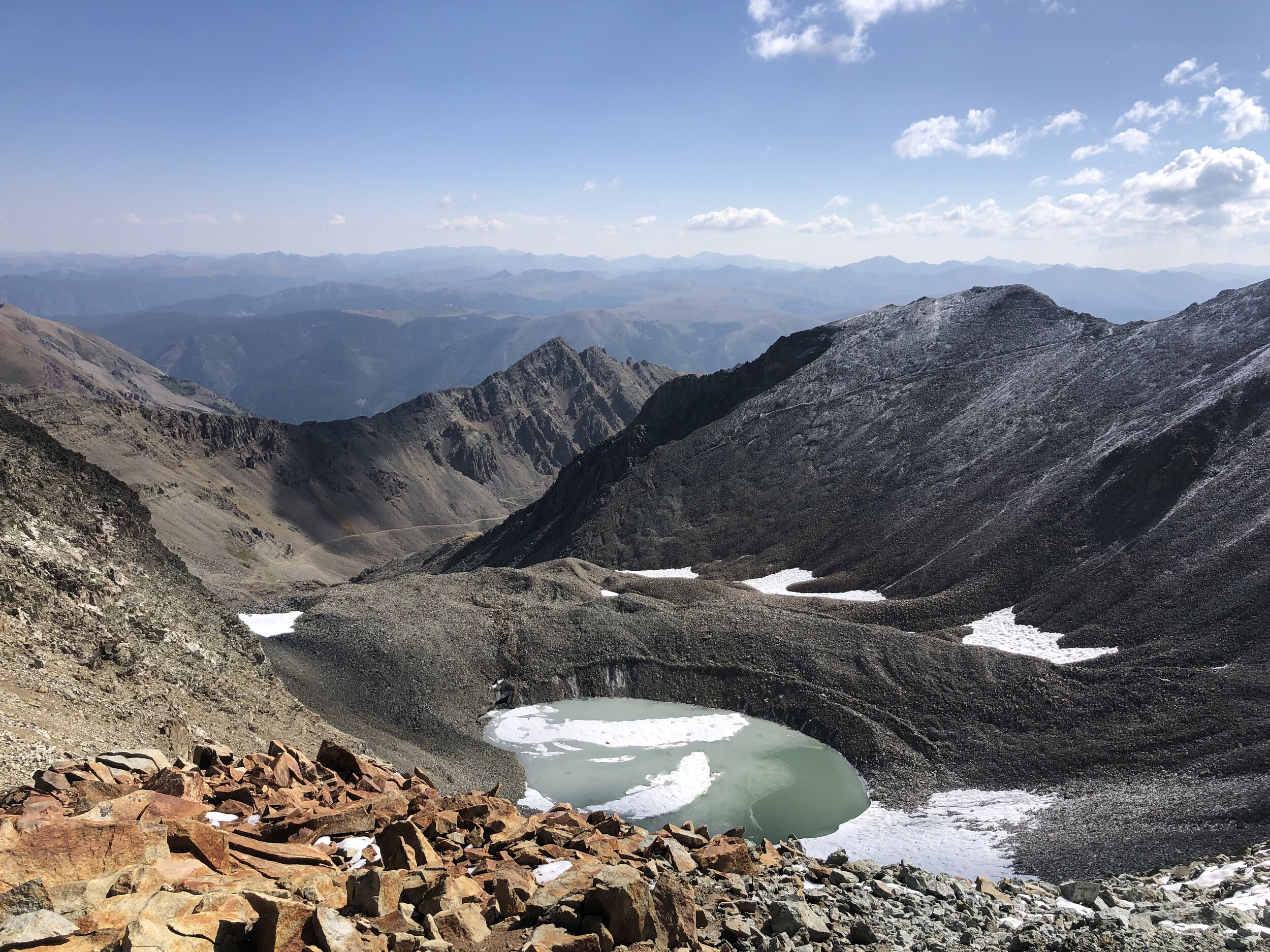
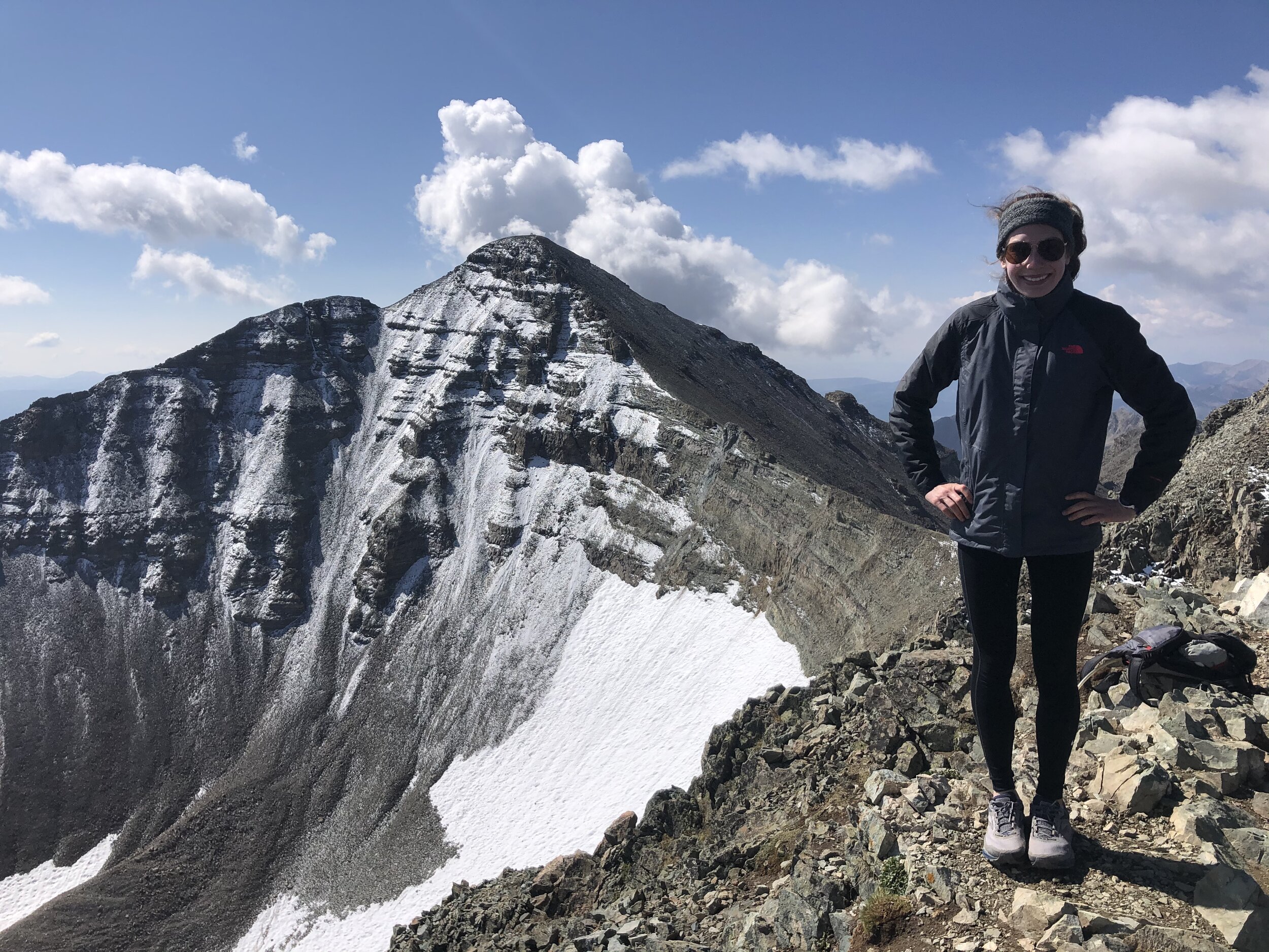
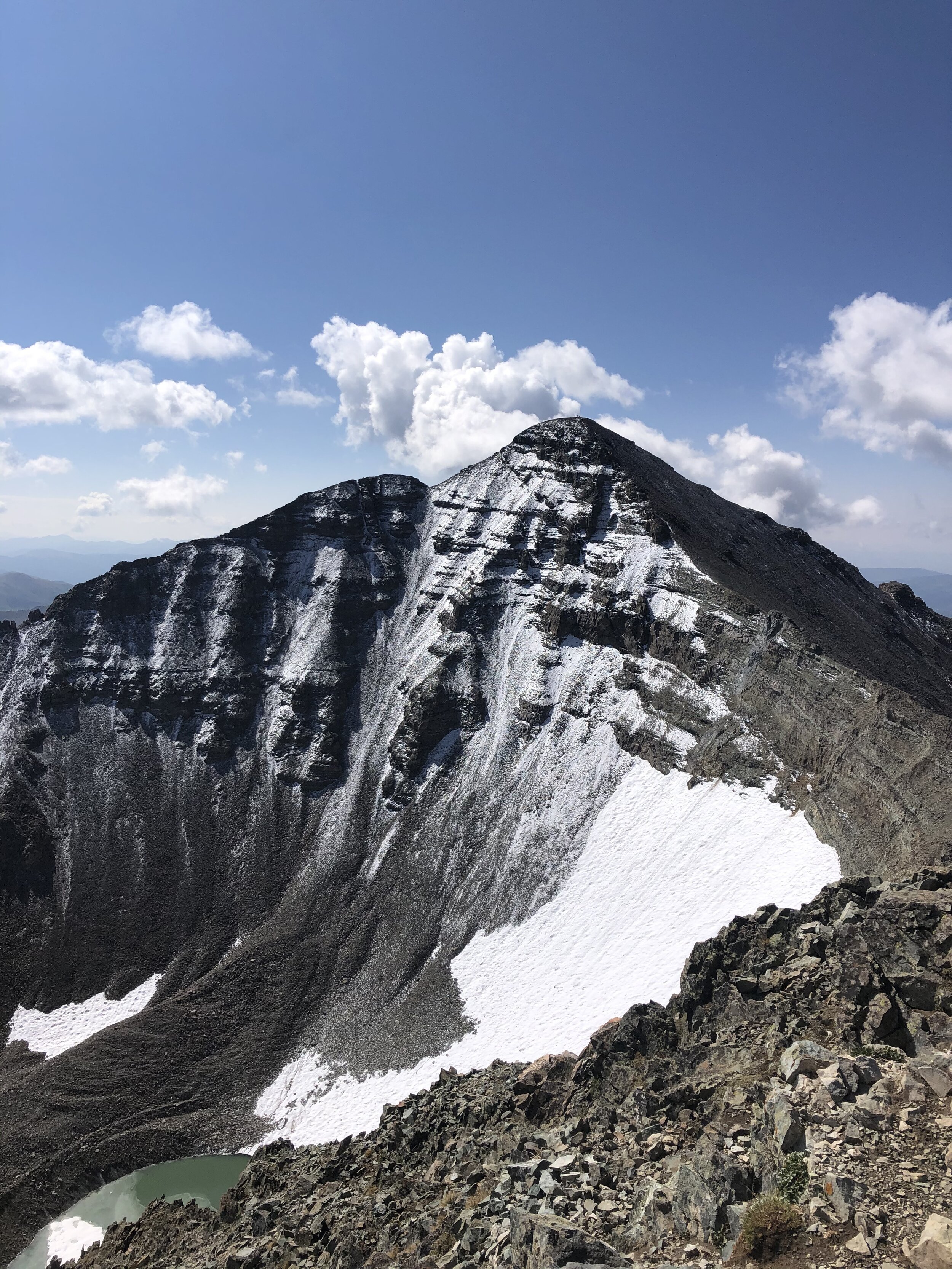
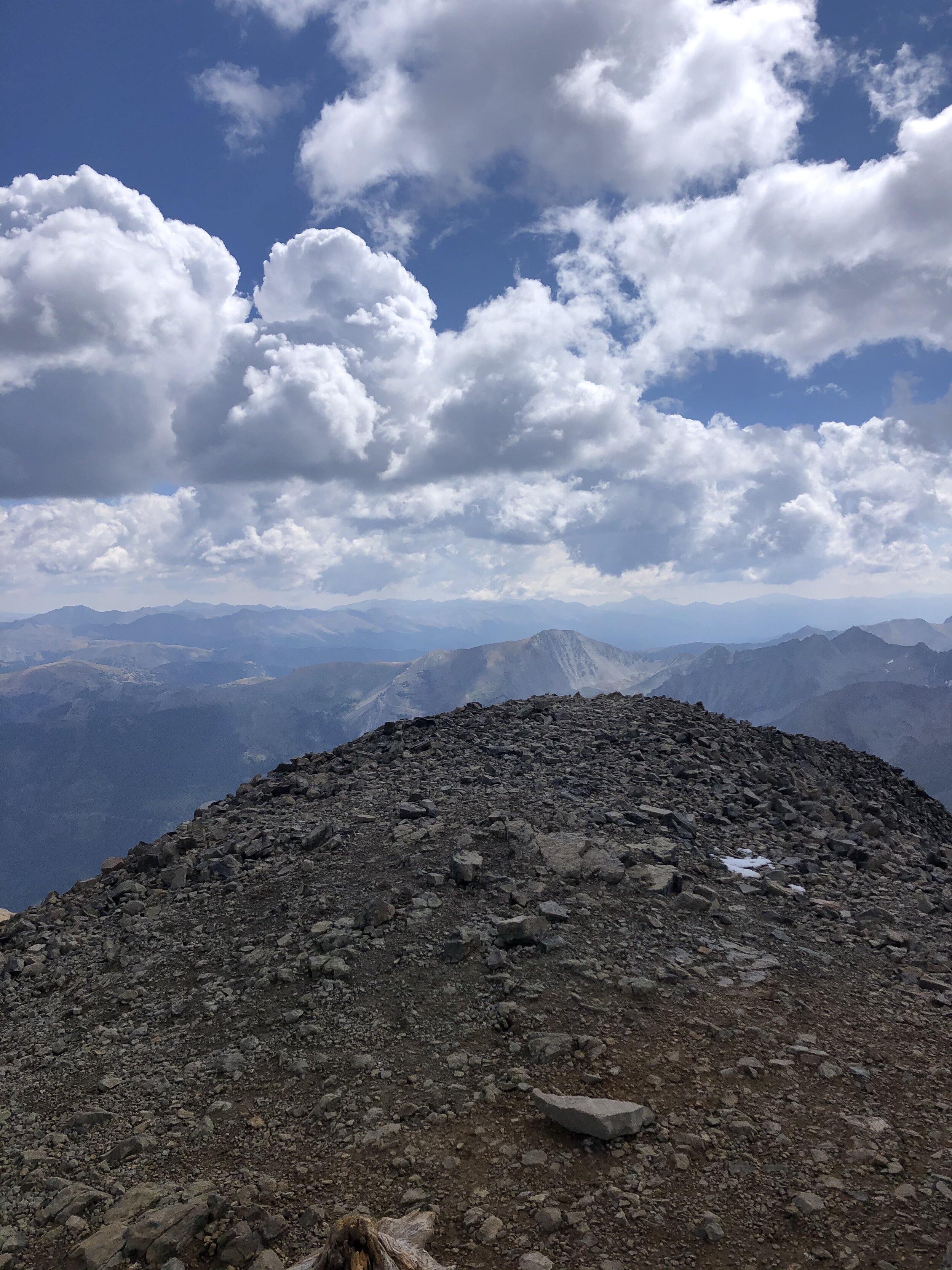
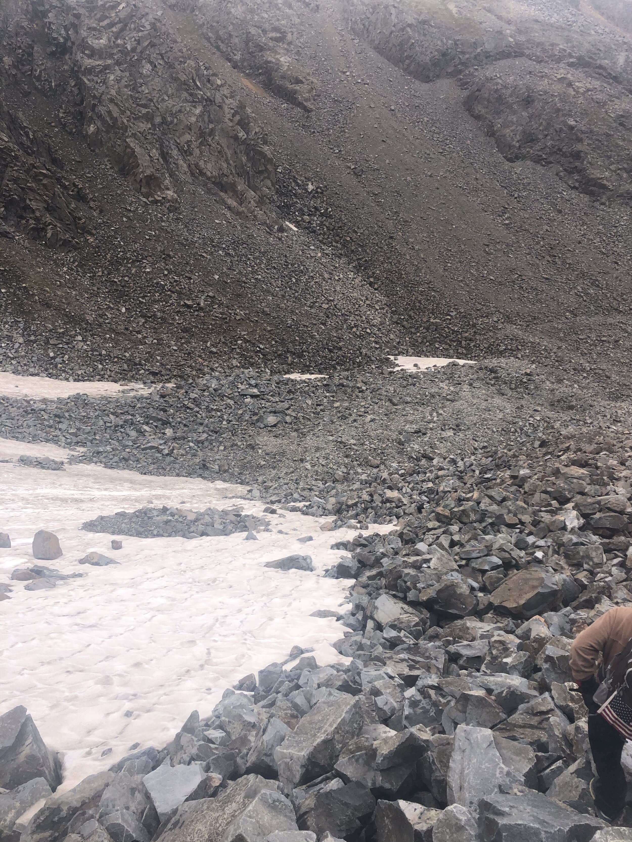
At exactly 2 hours and 4.83 miles, we reached the end of the road (which I had at an elevation of 12,753’). From here, we had a nice view of Castle and Conundrum. Castle is the snow-covered peak far back on the left hand side, while Conundrum is appears much closer on the right hand side (I think). We took a short break at this point before heading on.
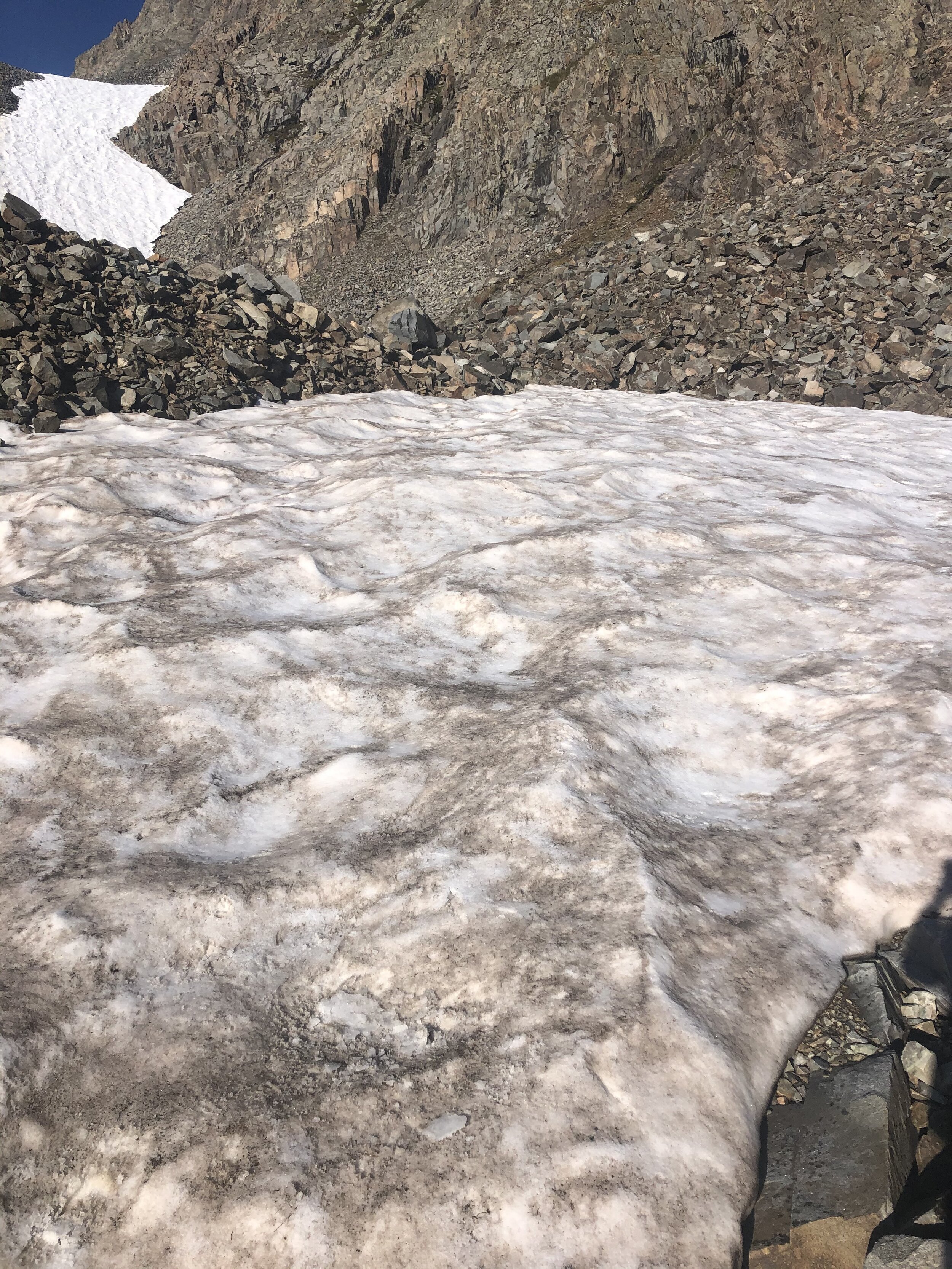
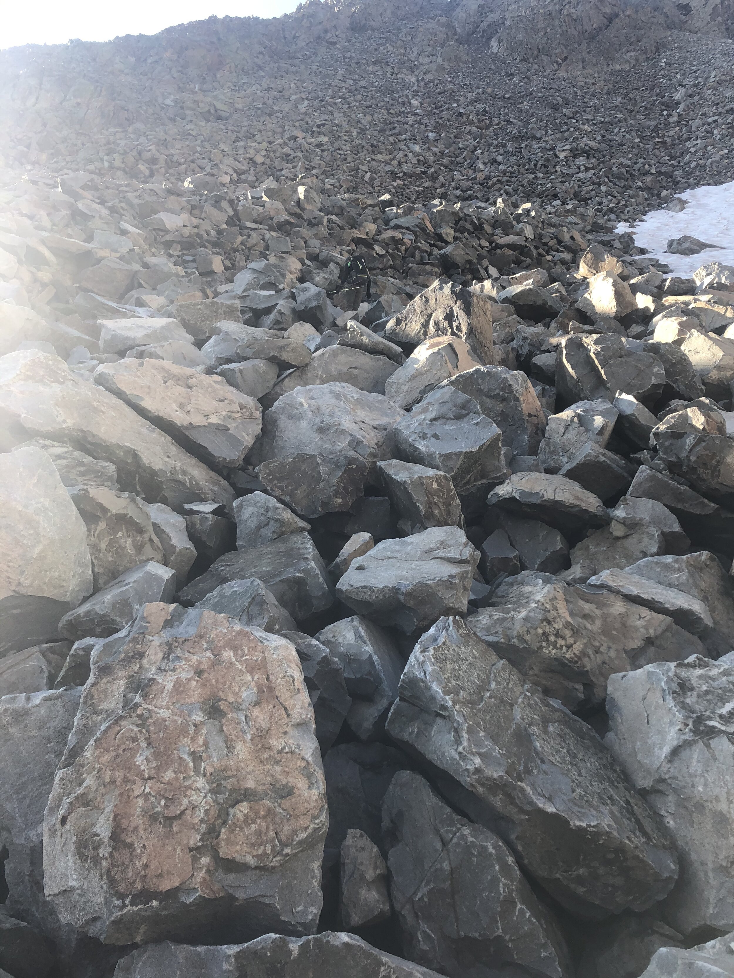
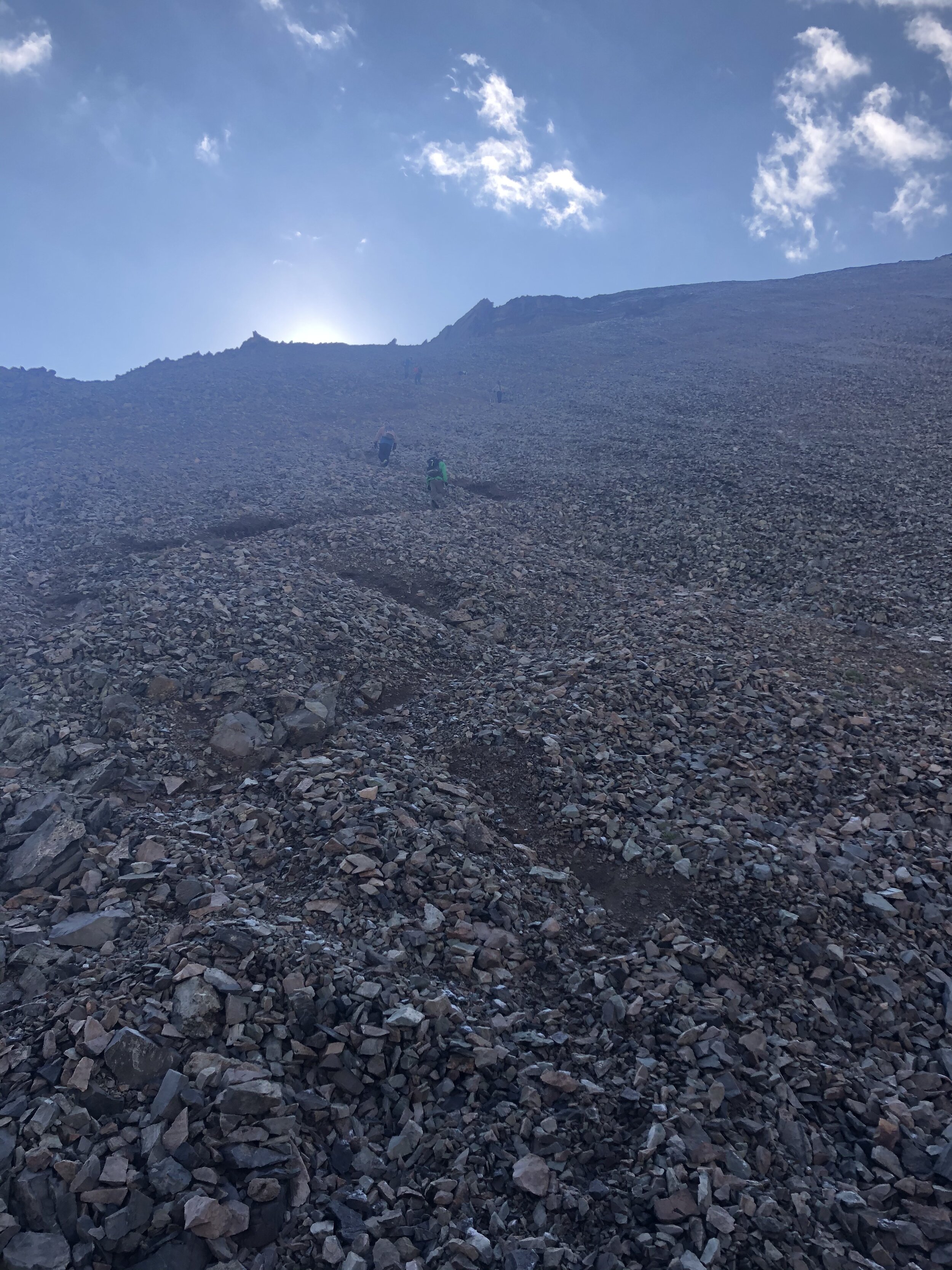
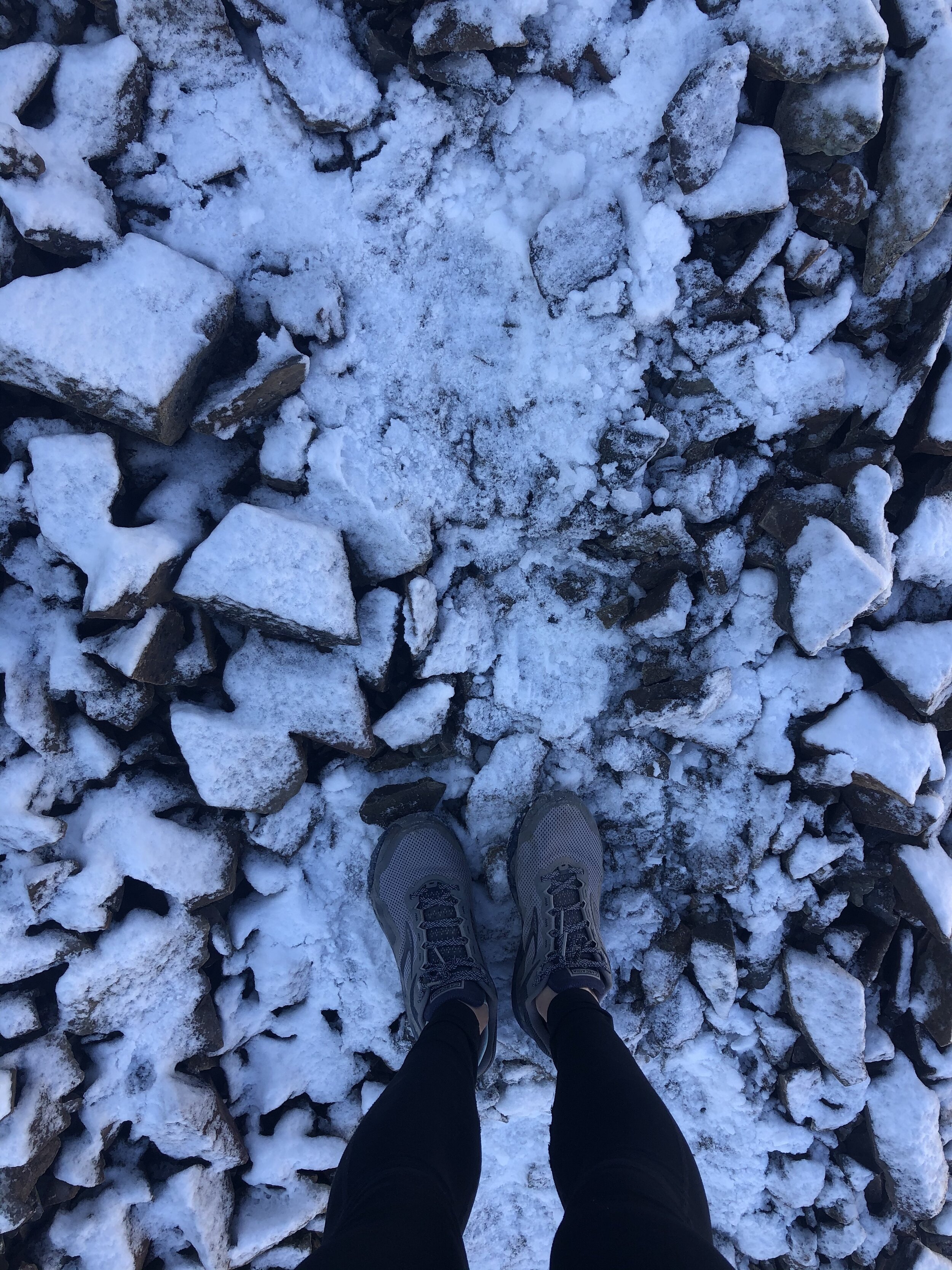
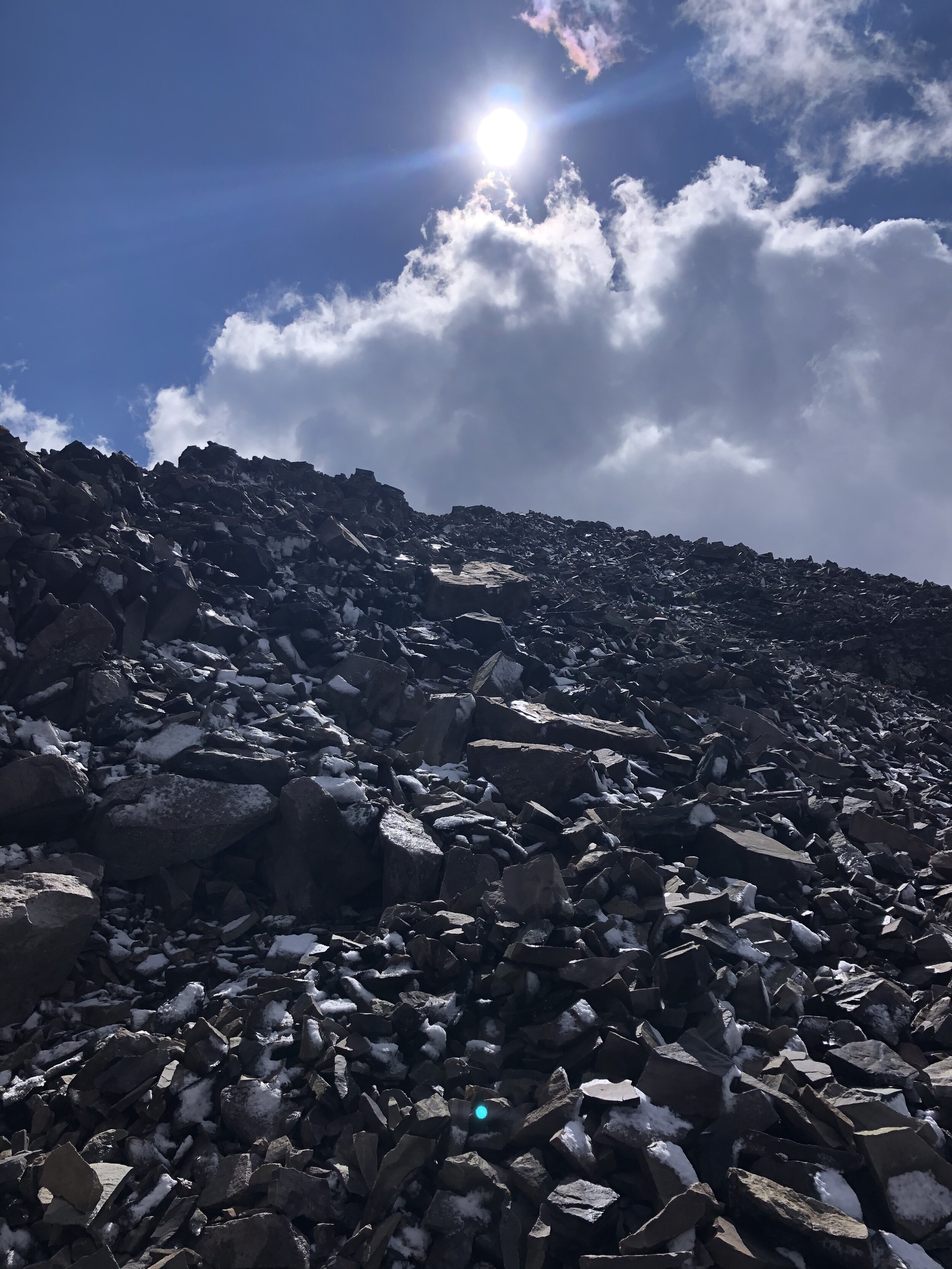
The majority of the next part of the hike (about ~600’ in gain) was through a boulder/talus field. As it became more of a rocky trail, it started becoming a little icy/snowy (foreshadowing what was to come). I did not expect this, not gonna lie.
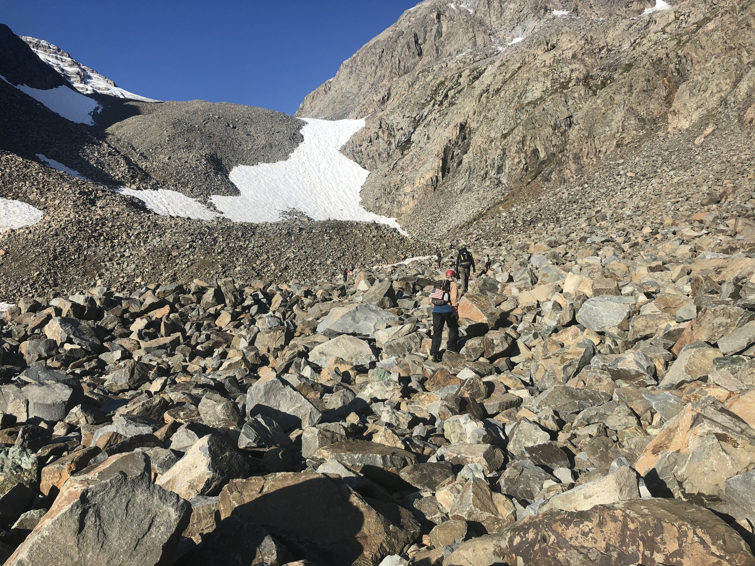
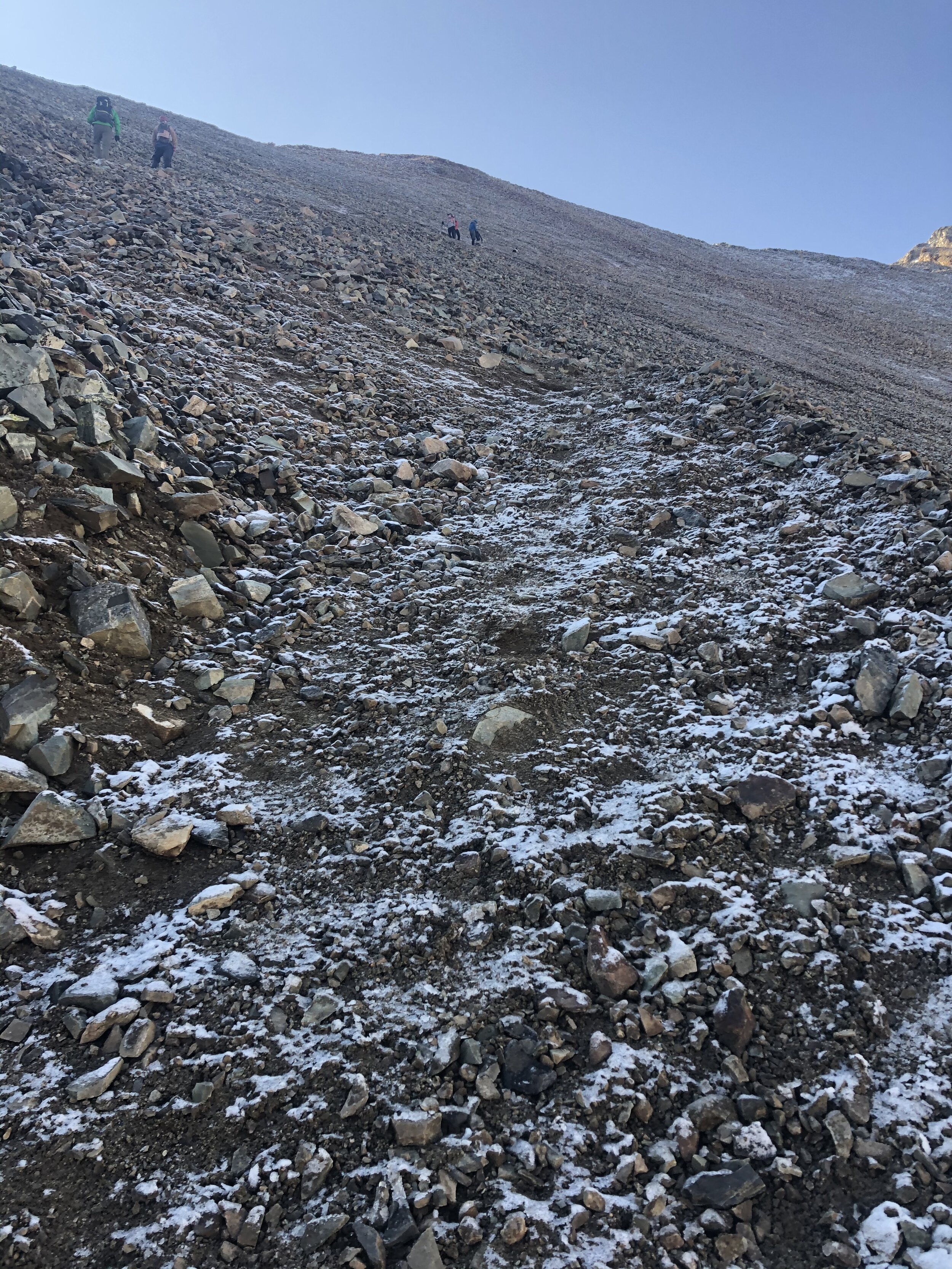
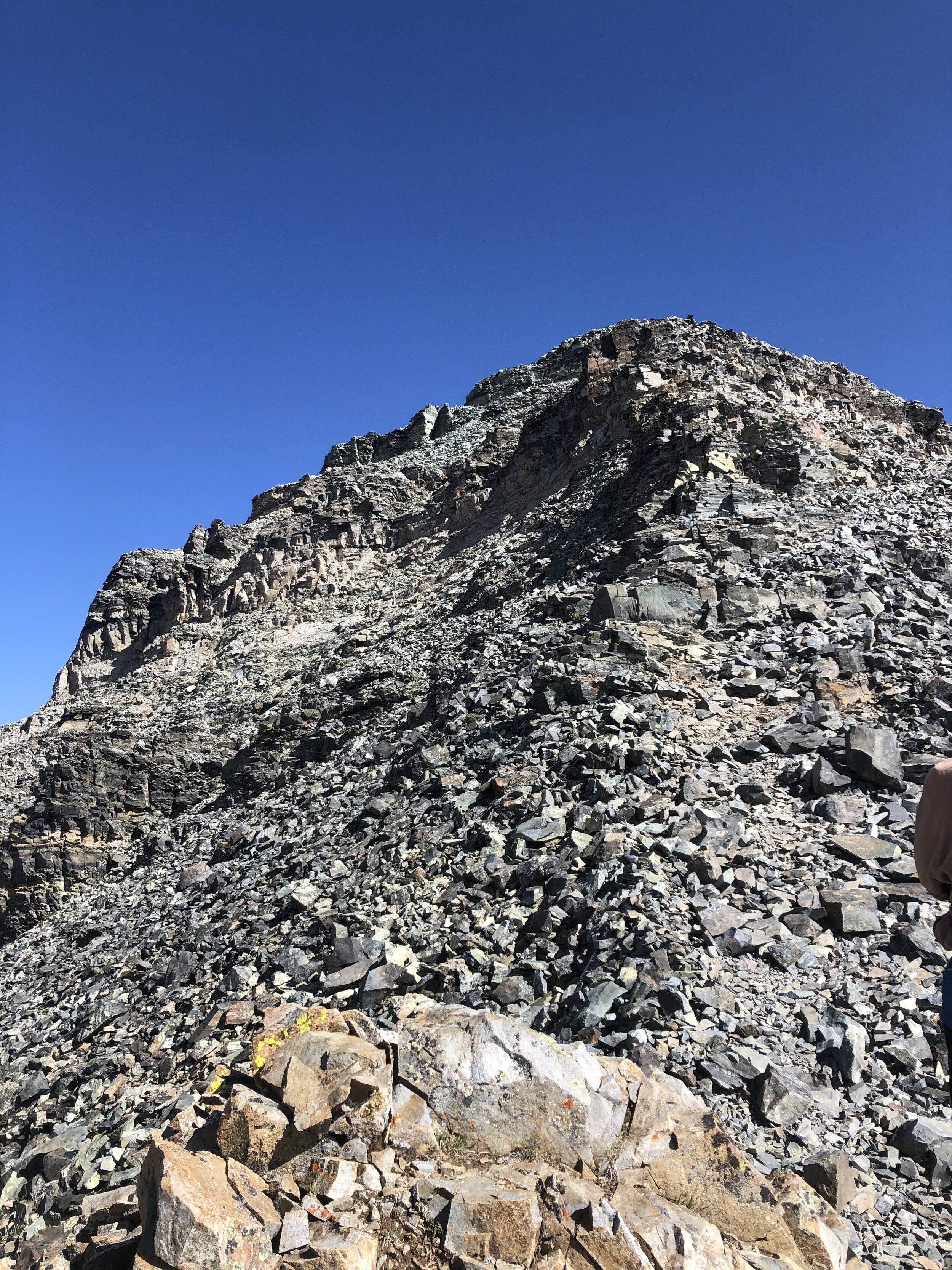
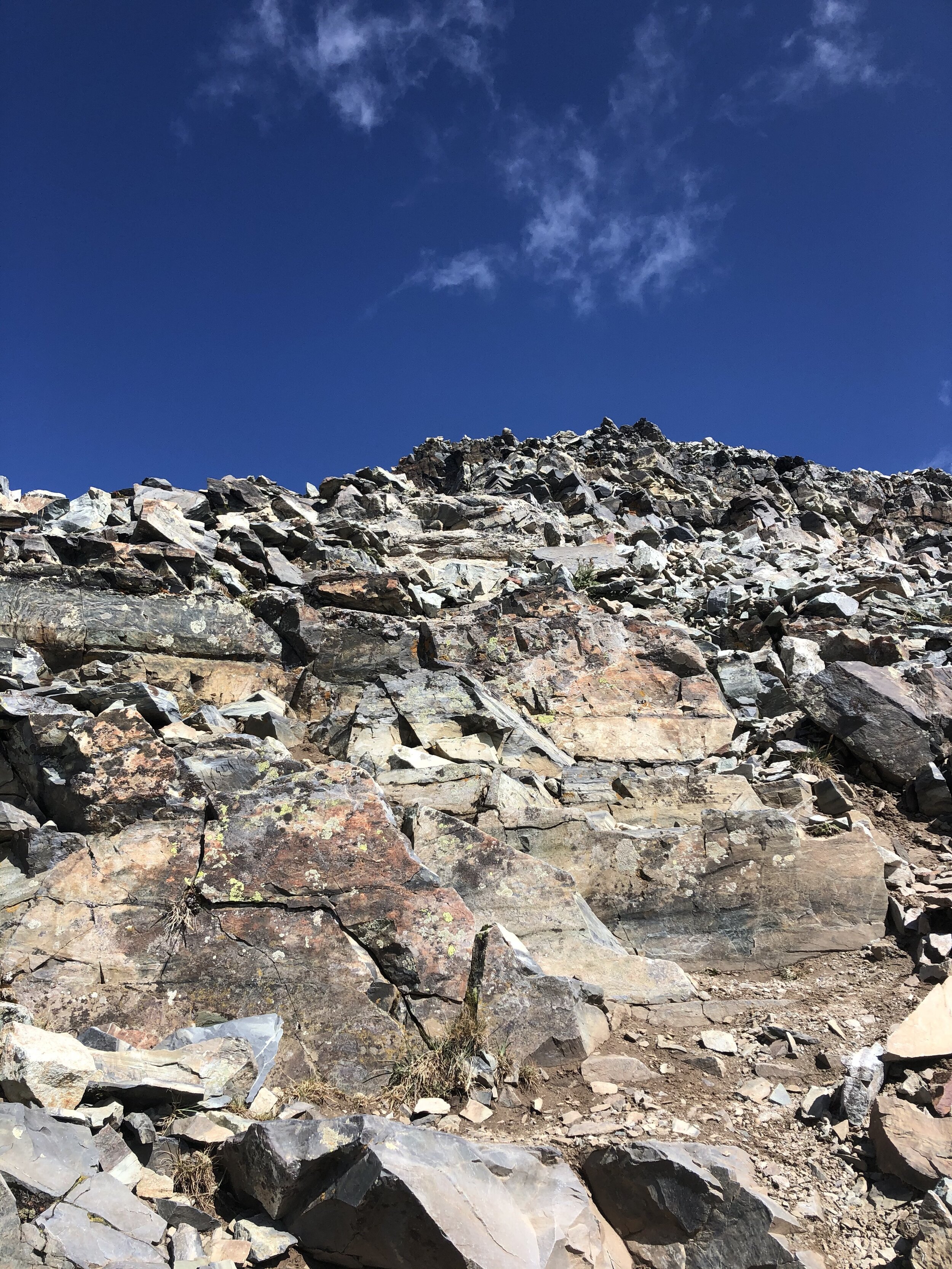
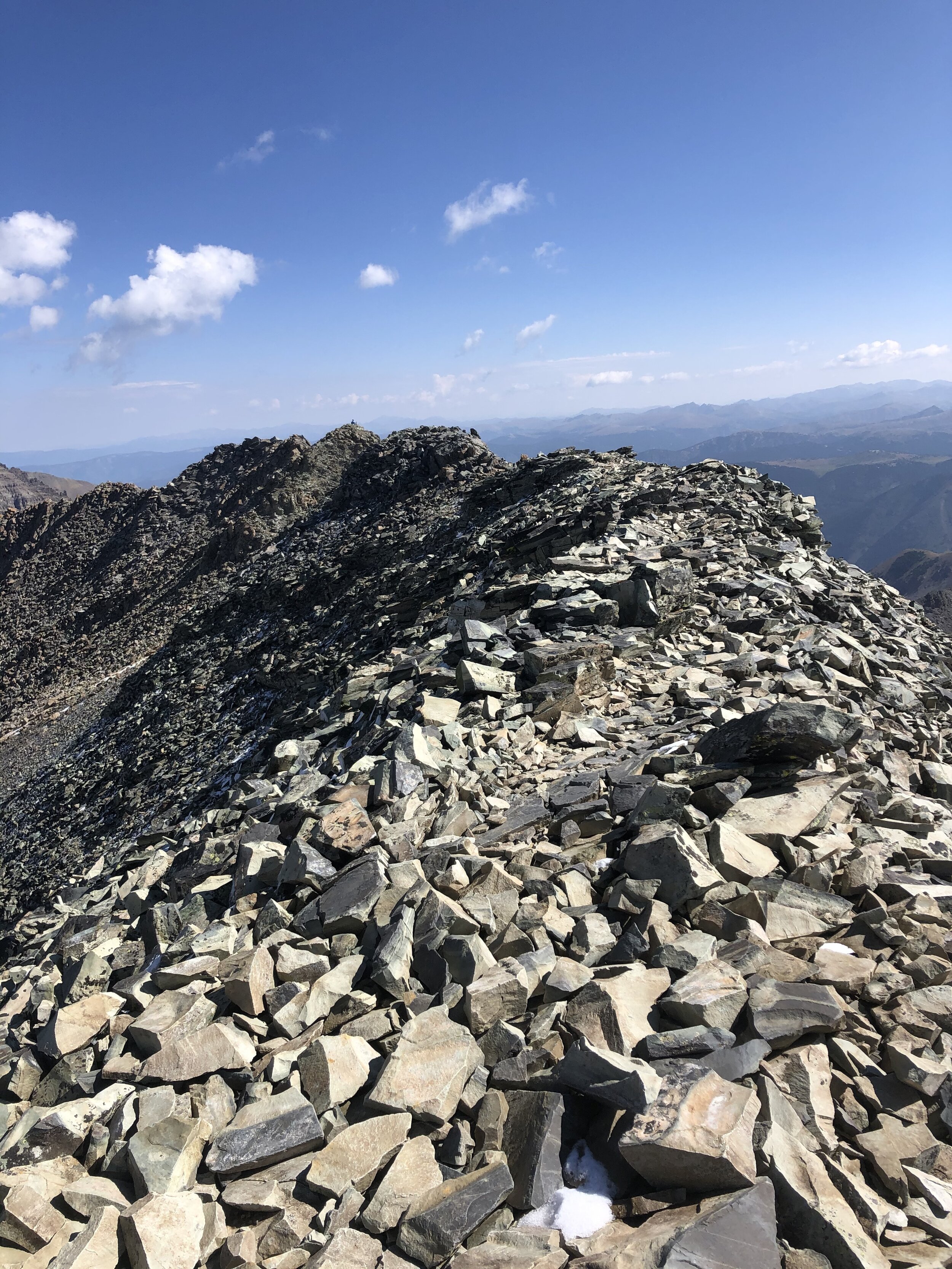
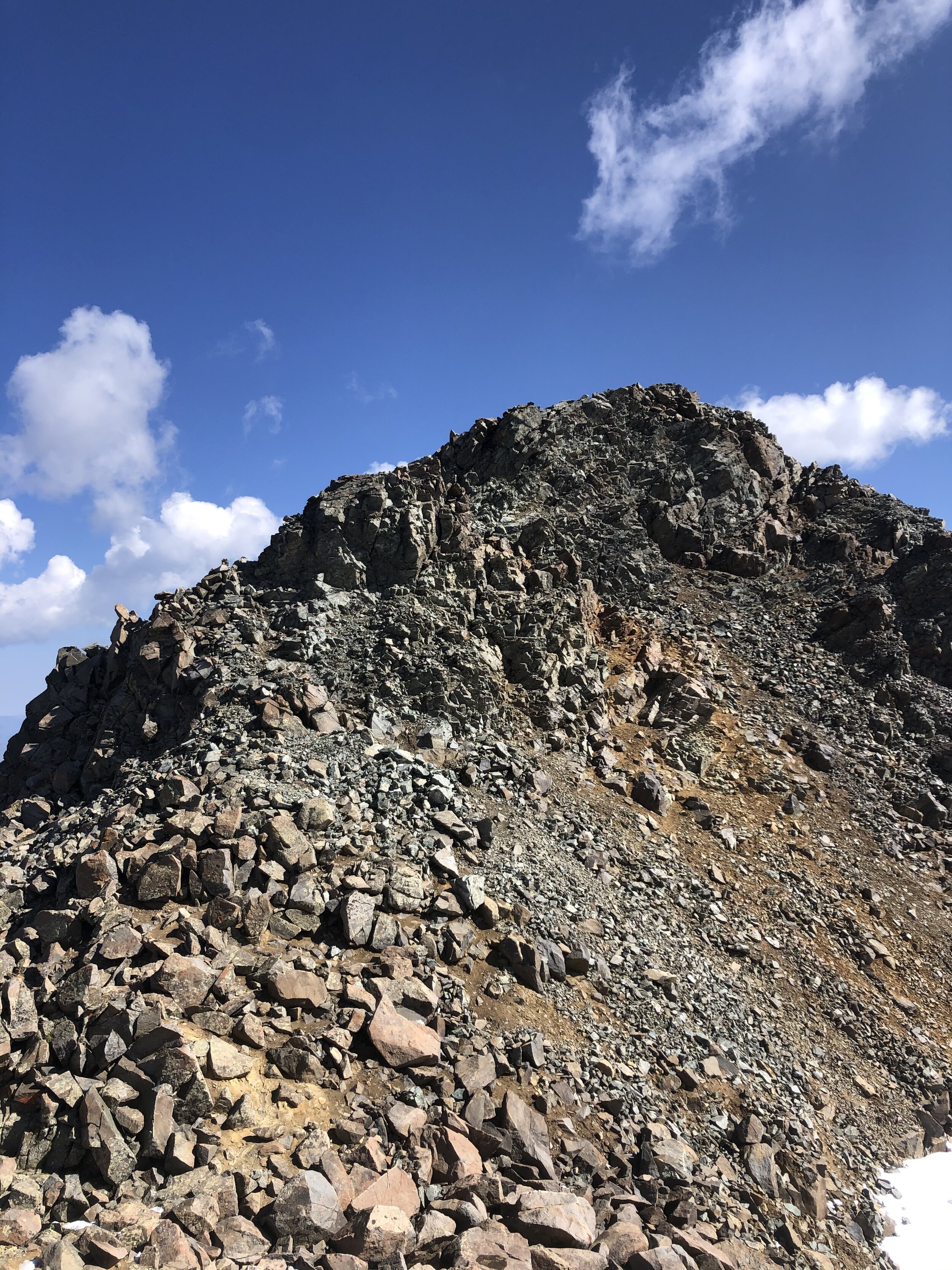
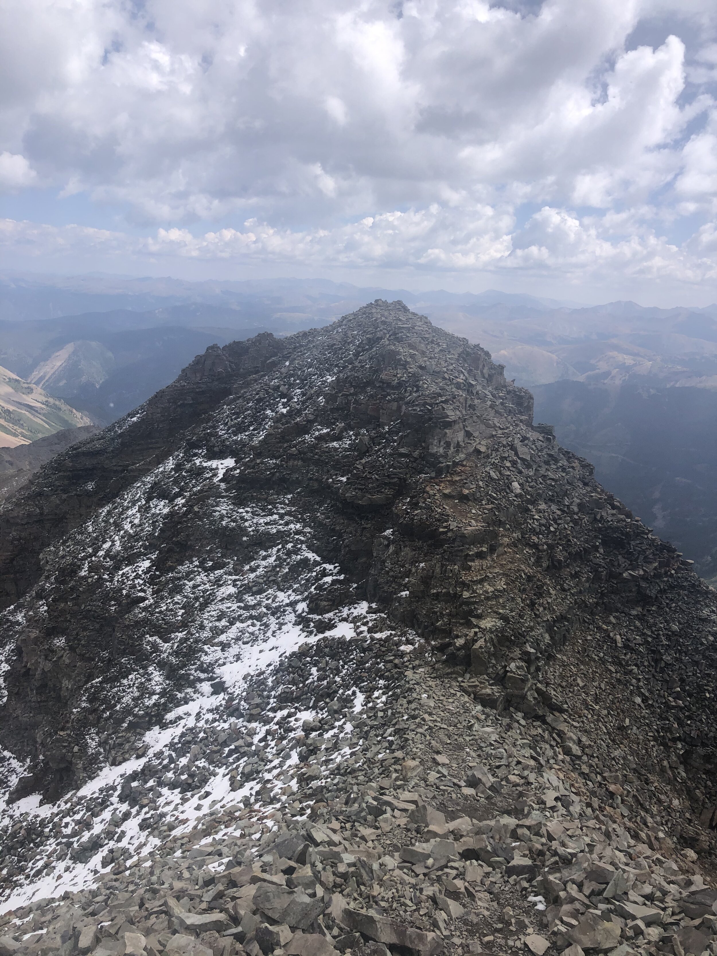
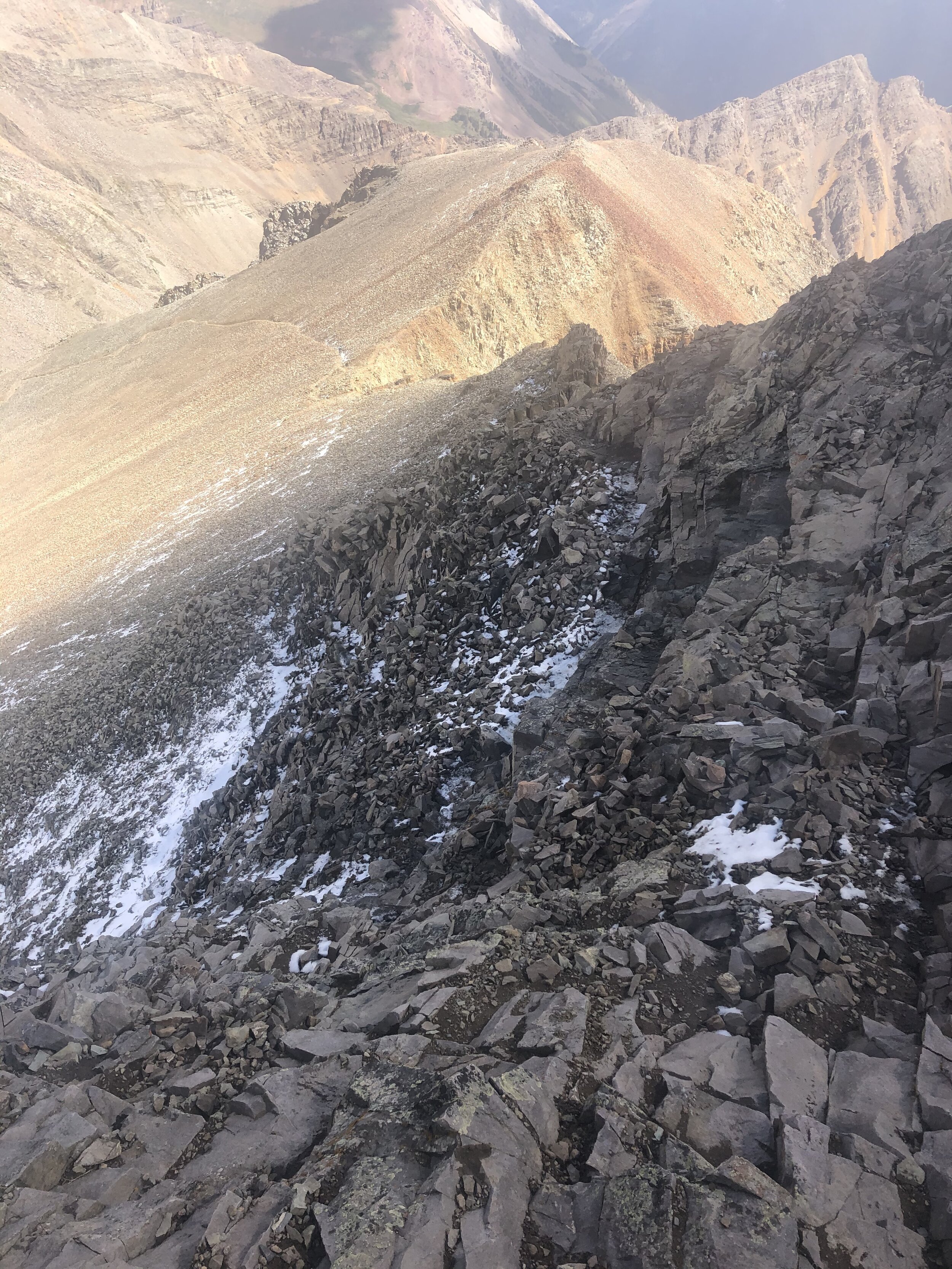
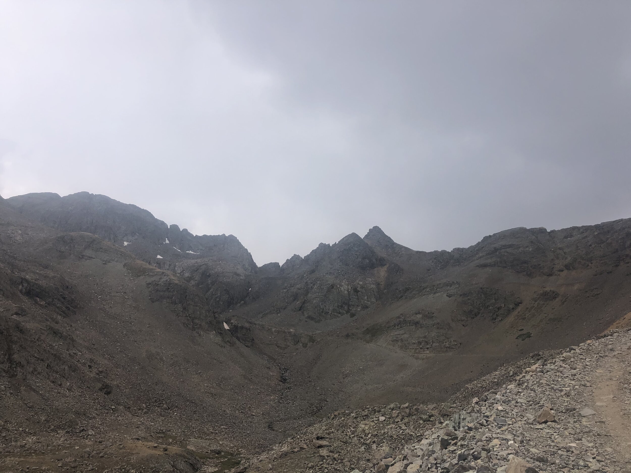
At exactly 3 hours (what is up with hitting these notable points on the dot lol) and 5.56 miles in, we started up some steep terrain that had some switchbacks (started at 13,388’). To show how steep this part was, it took me 17 minutes to gain approximately 400’ and just 0.23 miles to gain the ridge crest (elevation 13,768’).
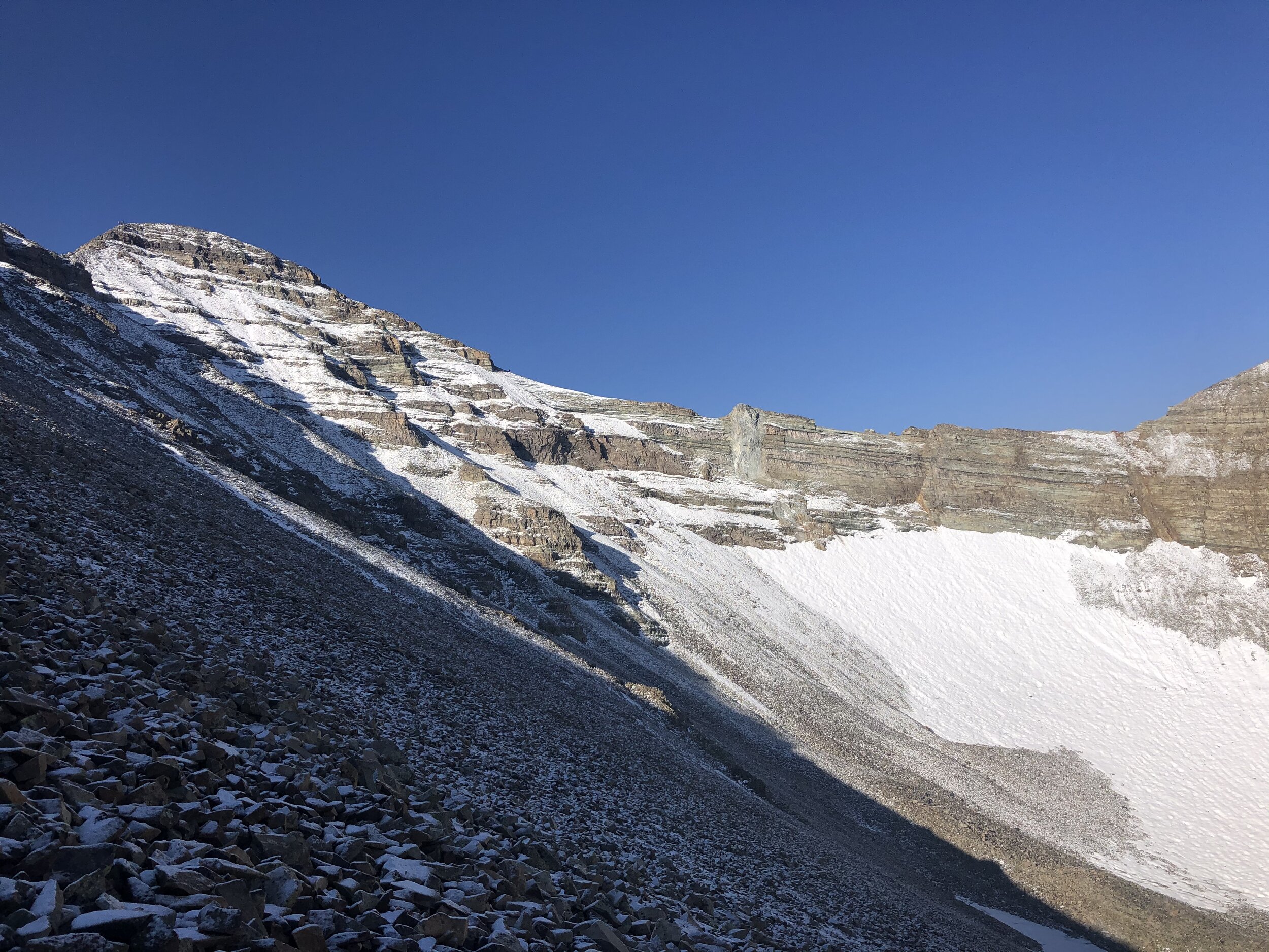
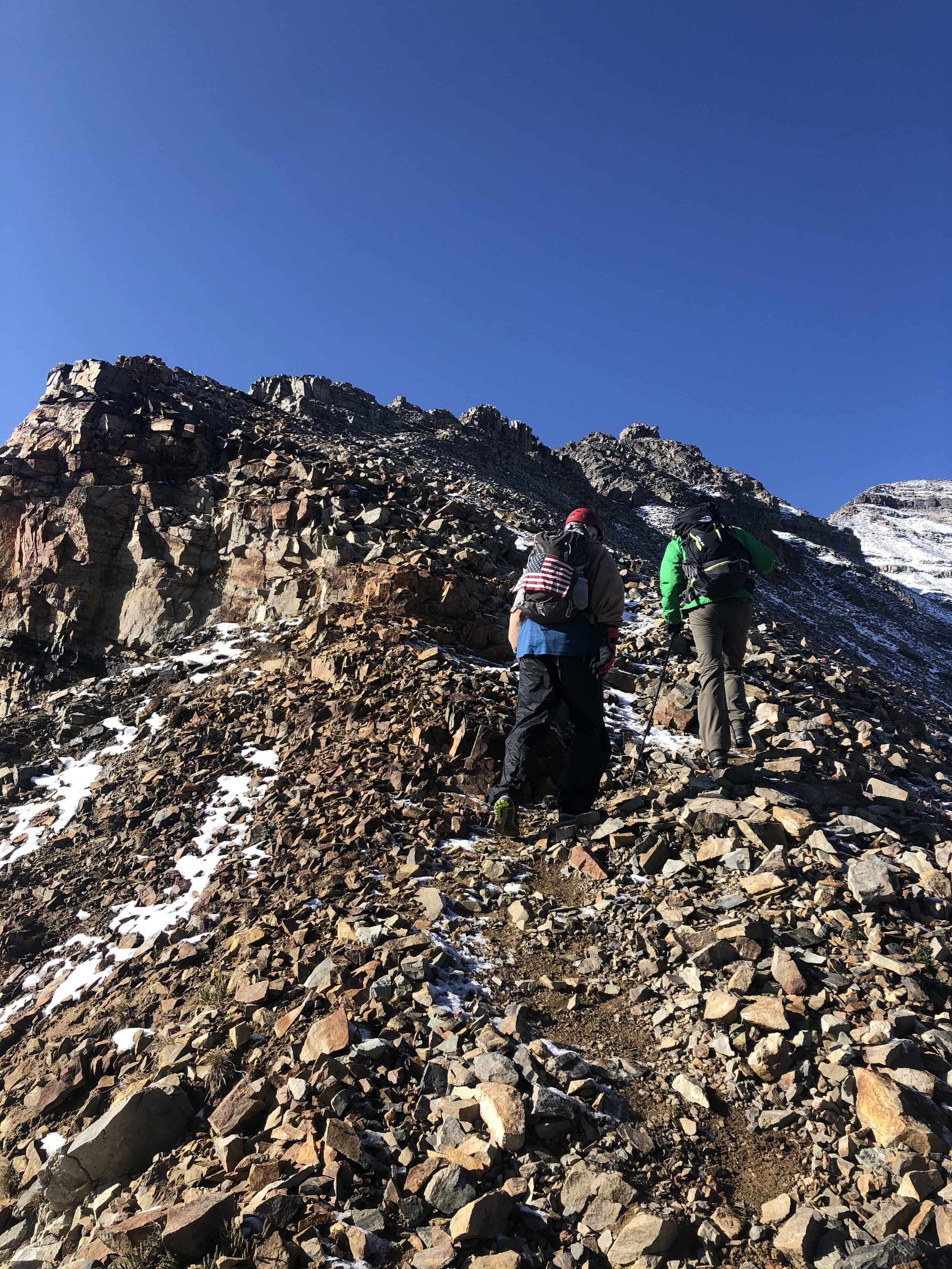
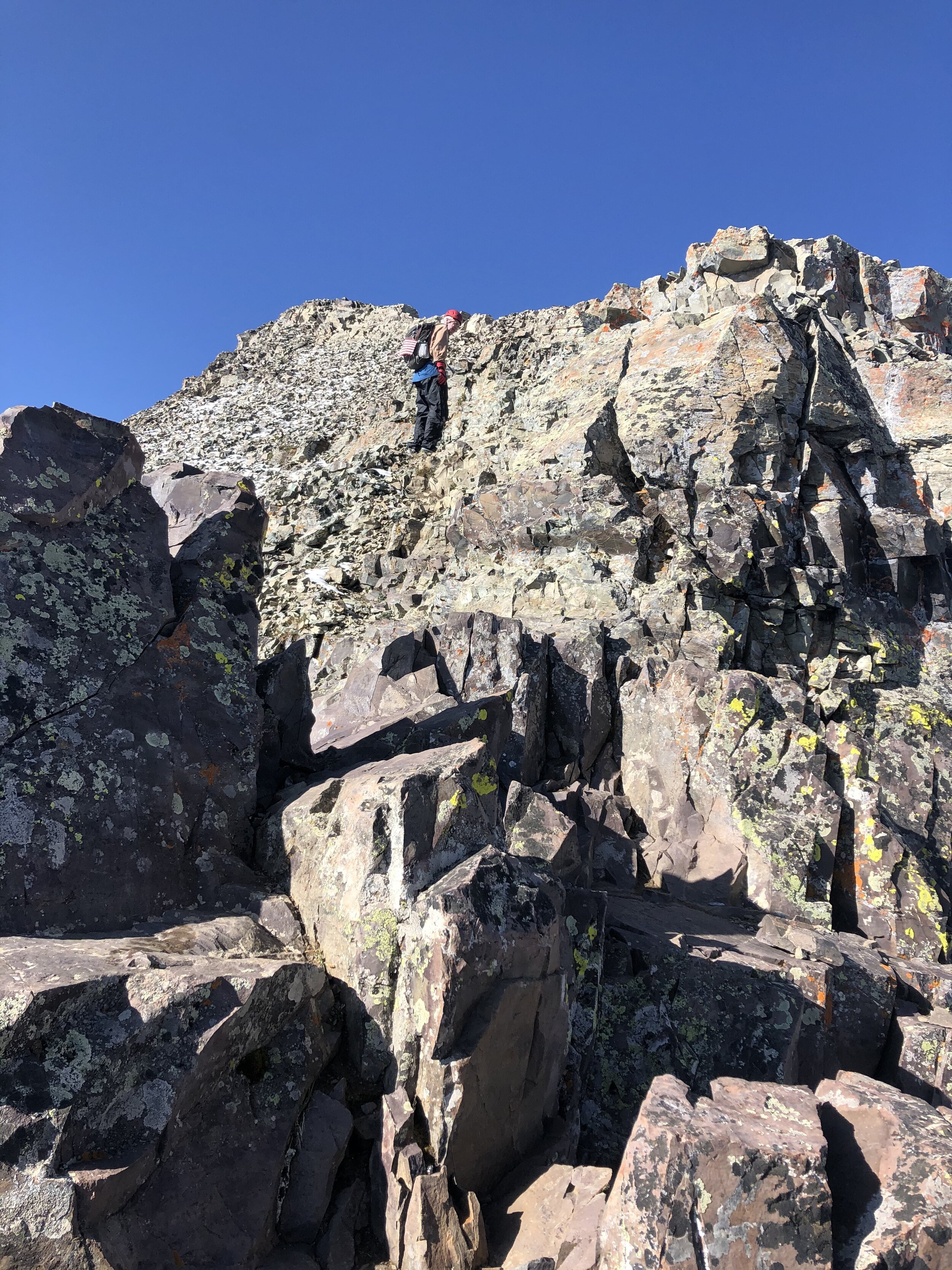
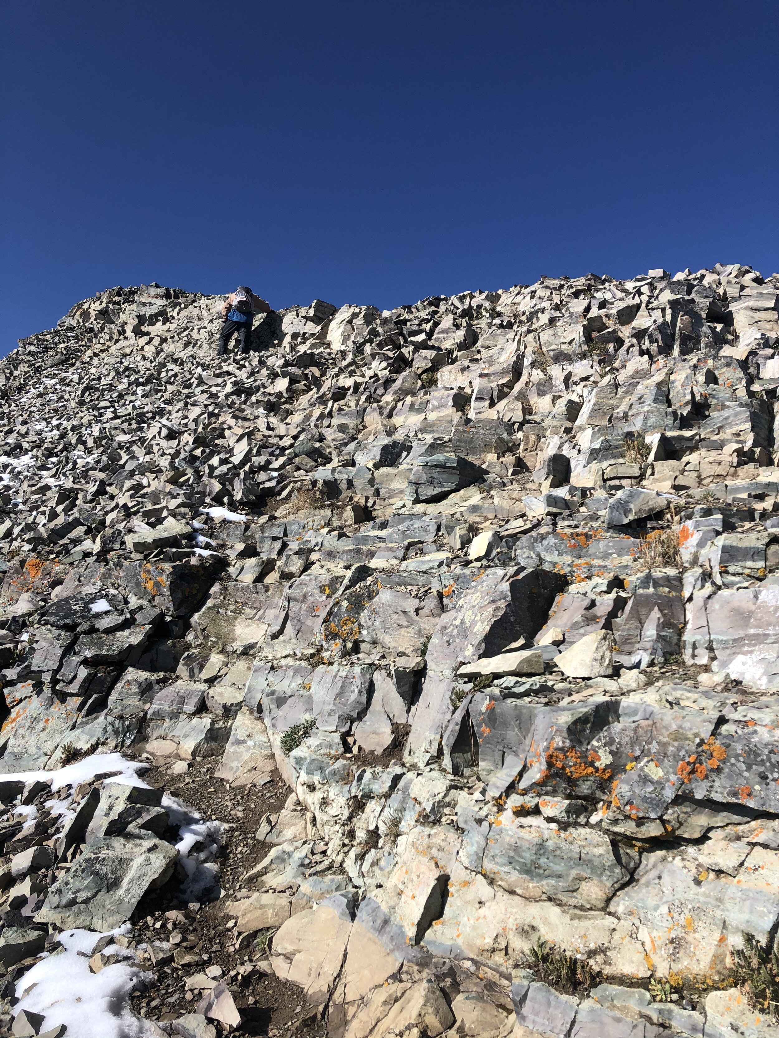
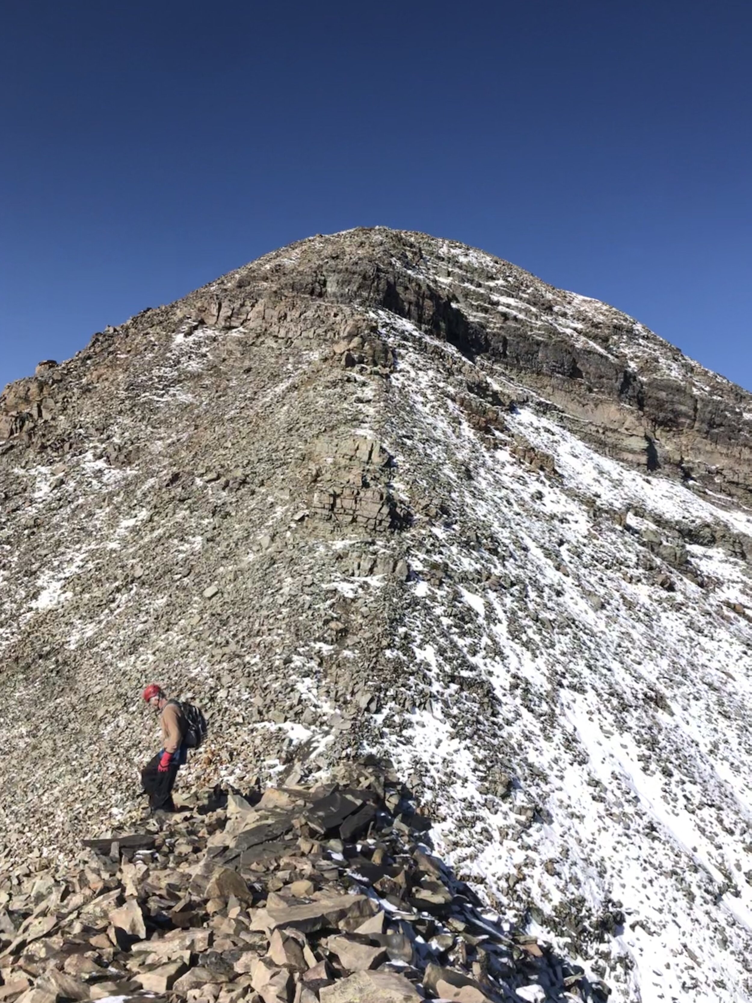
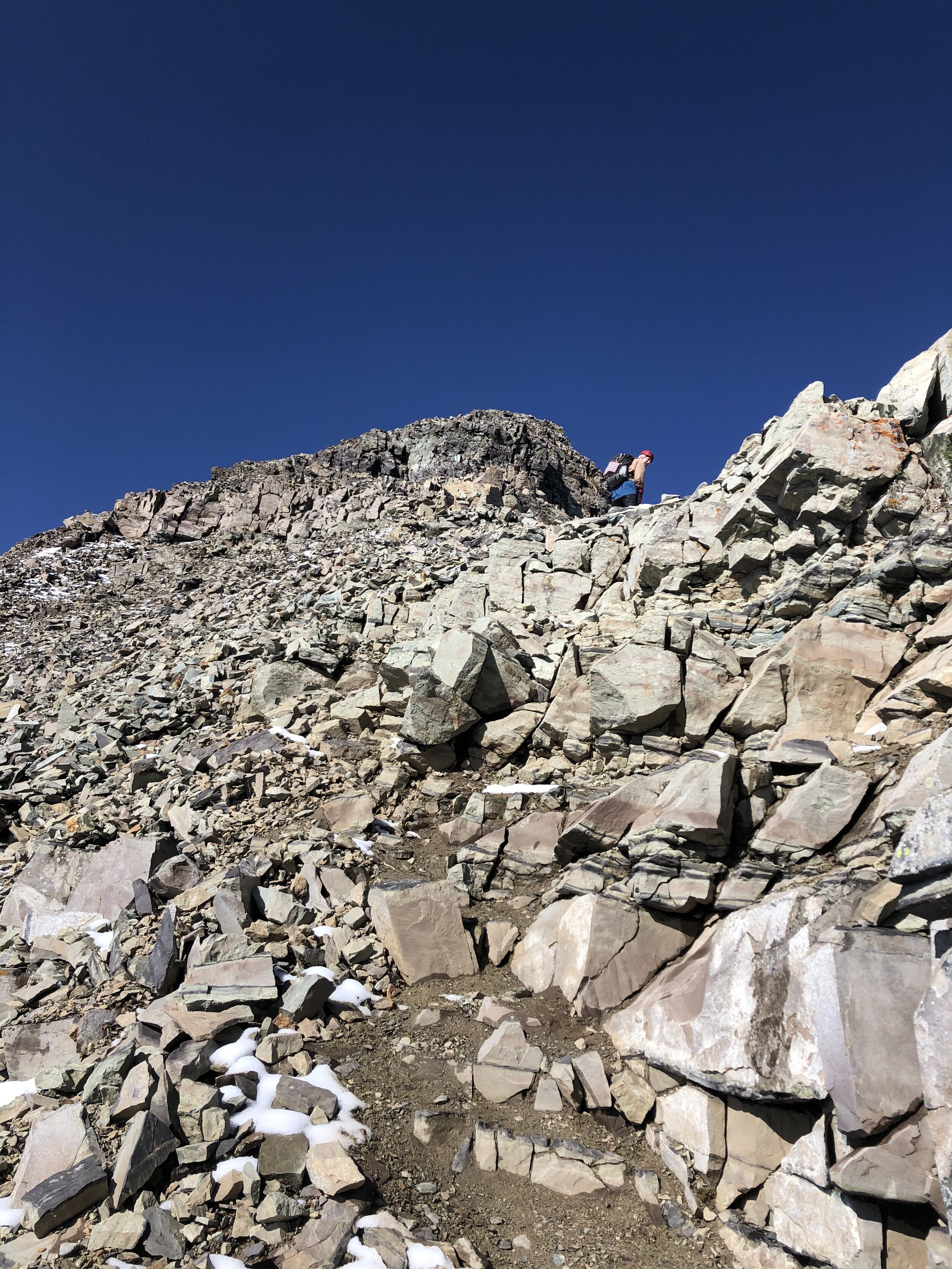
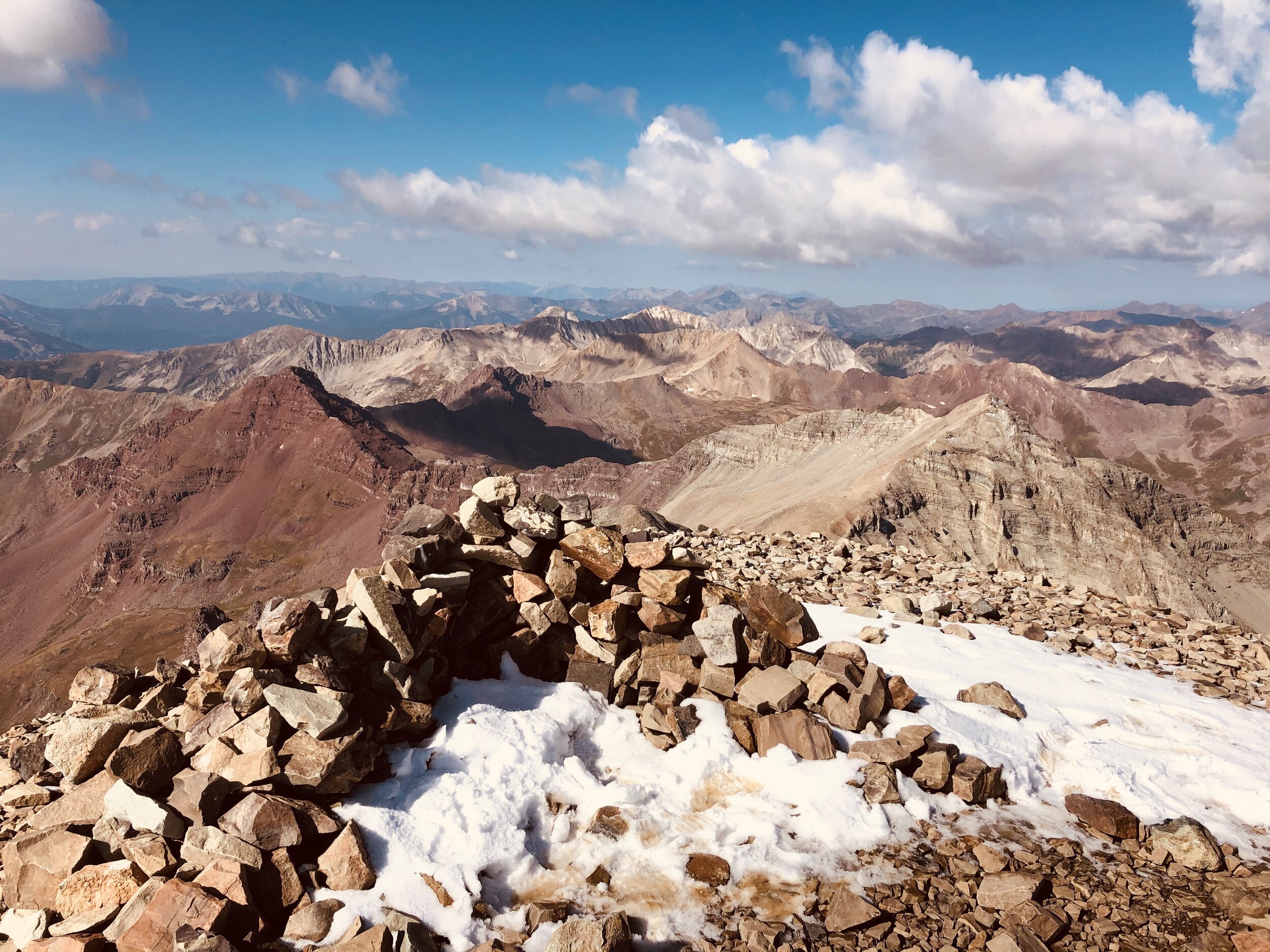
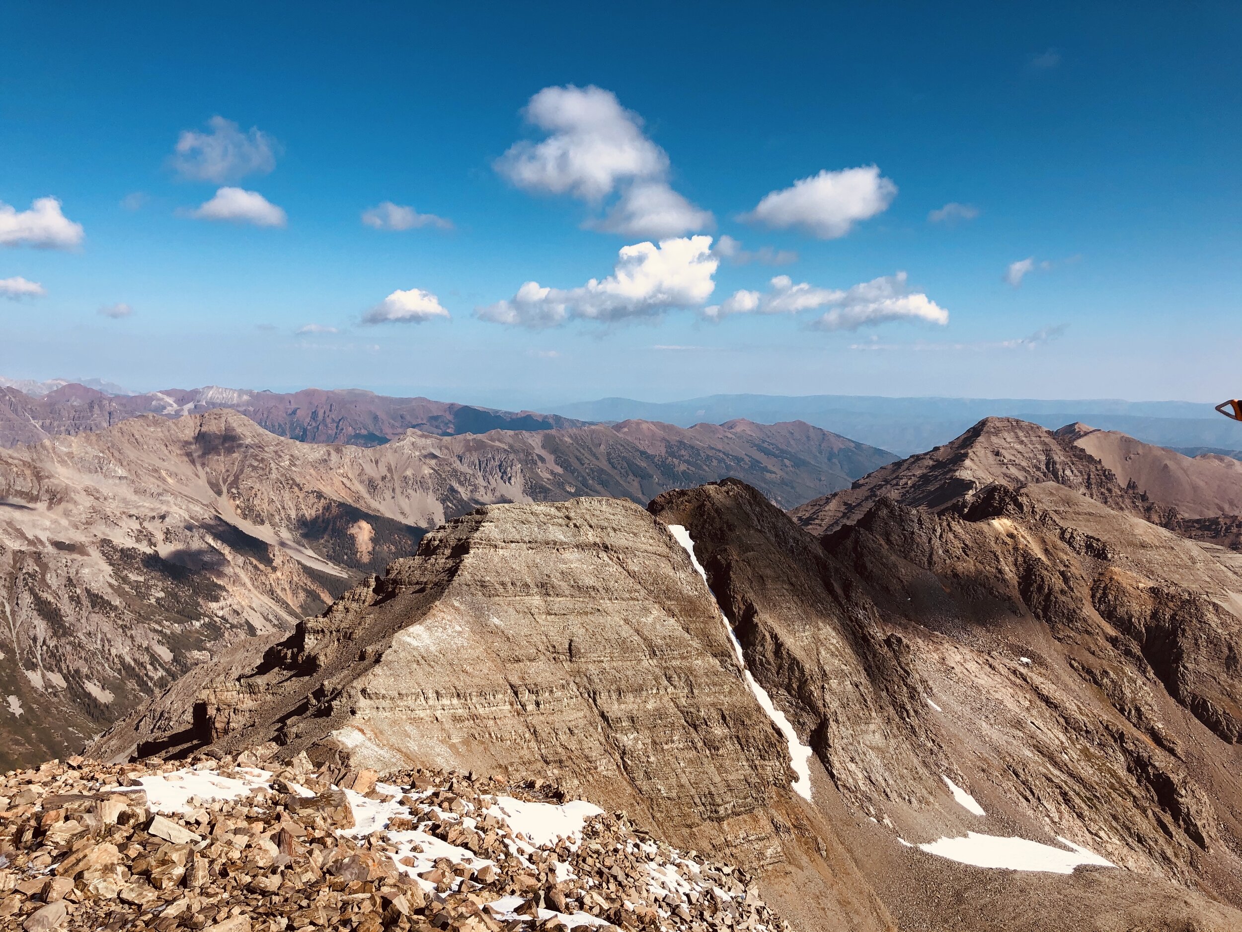
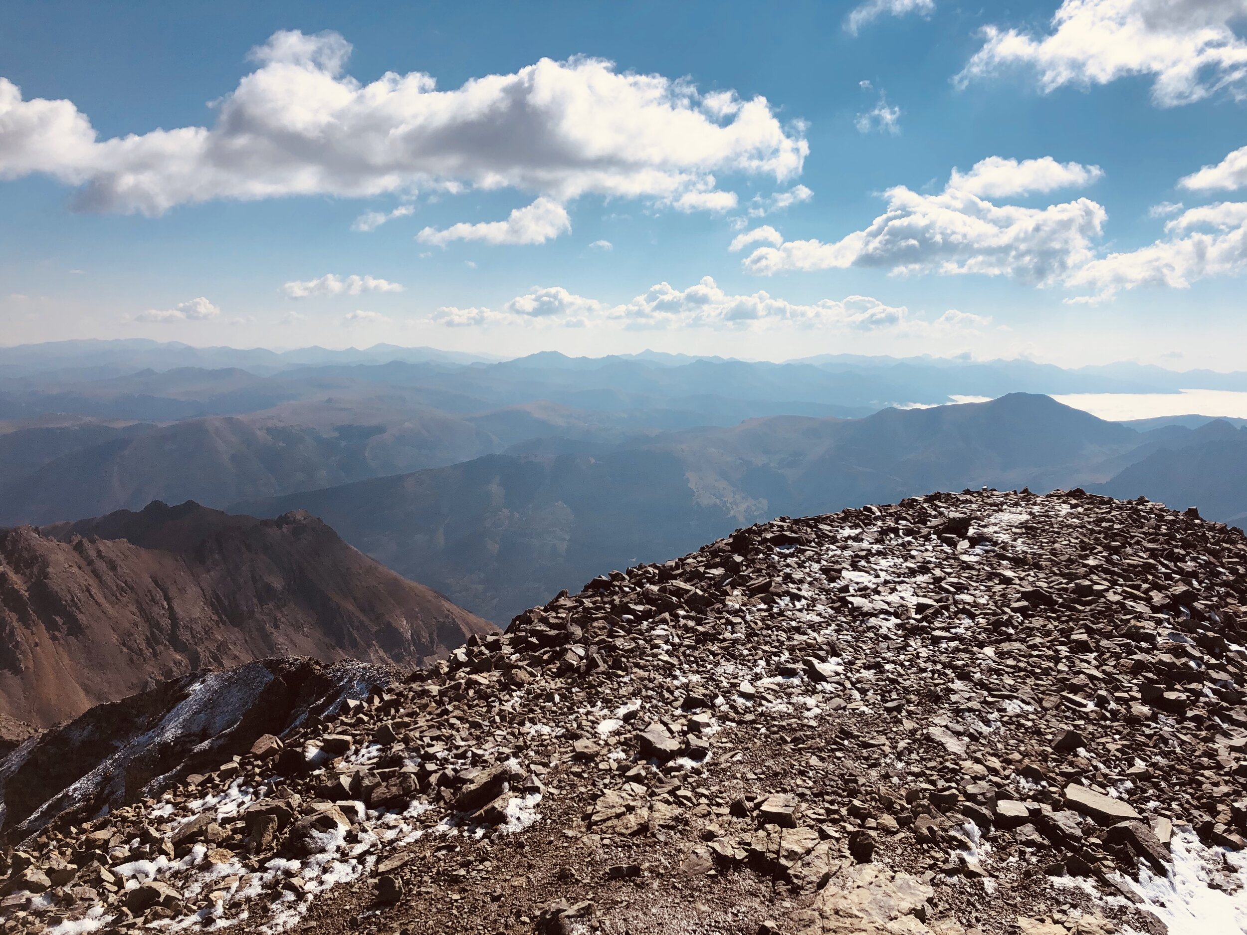
Once we got up on this ridge crest, the route certainly became a Difficult Class 2. It was a little concerning with the ice and snow, but we just took it slowly (and, obviously would have turned around if it had been too slippery). I didn't take my helmet with me (I decided to leave it in the car); however, if I even had suspected that there was ice on the trail like there was, I definitely would have brought it. My dad and I took it slowly (my dad’s friend turned around about 300’ below the summit because of the conditions). Here are a lot of pictures from the ridge up until the summit. The final pitch (4th picture) definitely looked like “How are we supposed to get up this?!” from afar (it still does look like that looking at the picture), but the route finding was easy for me.
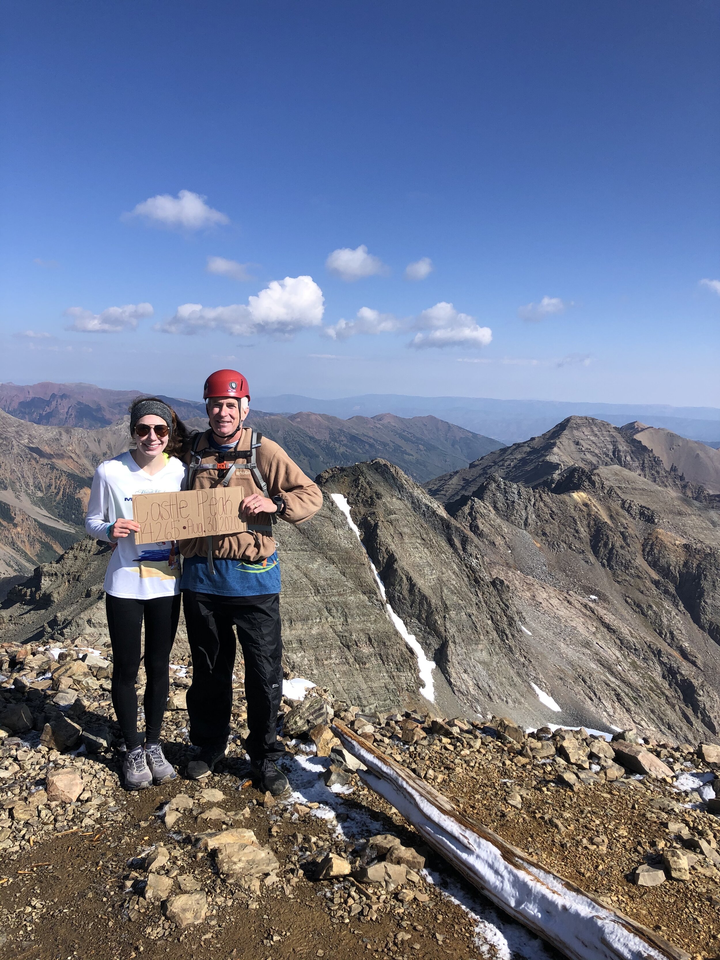
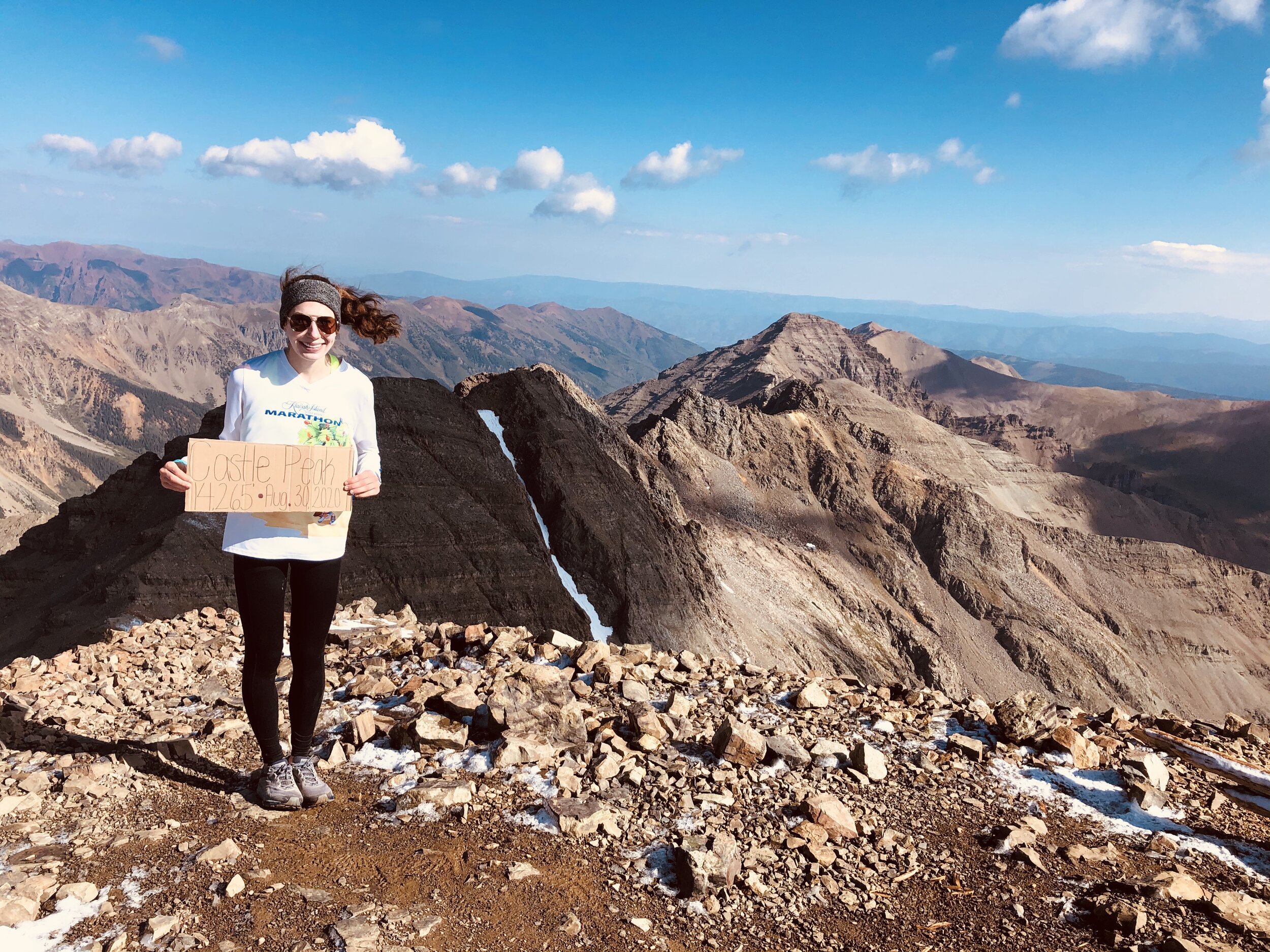
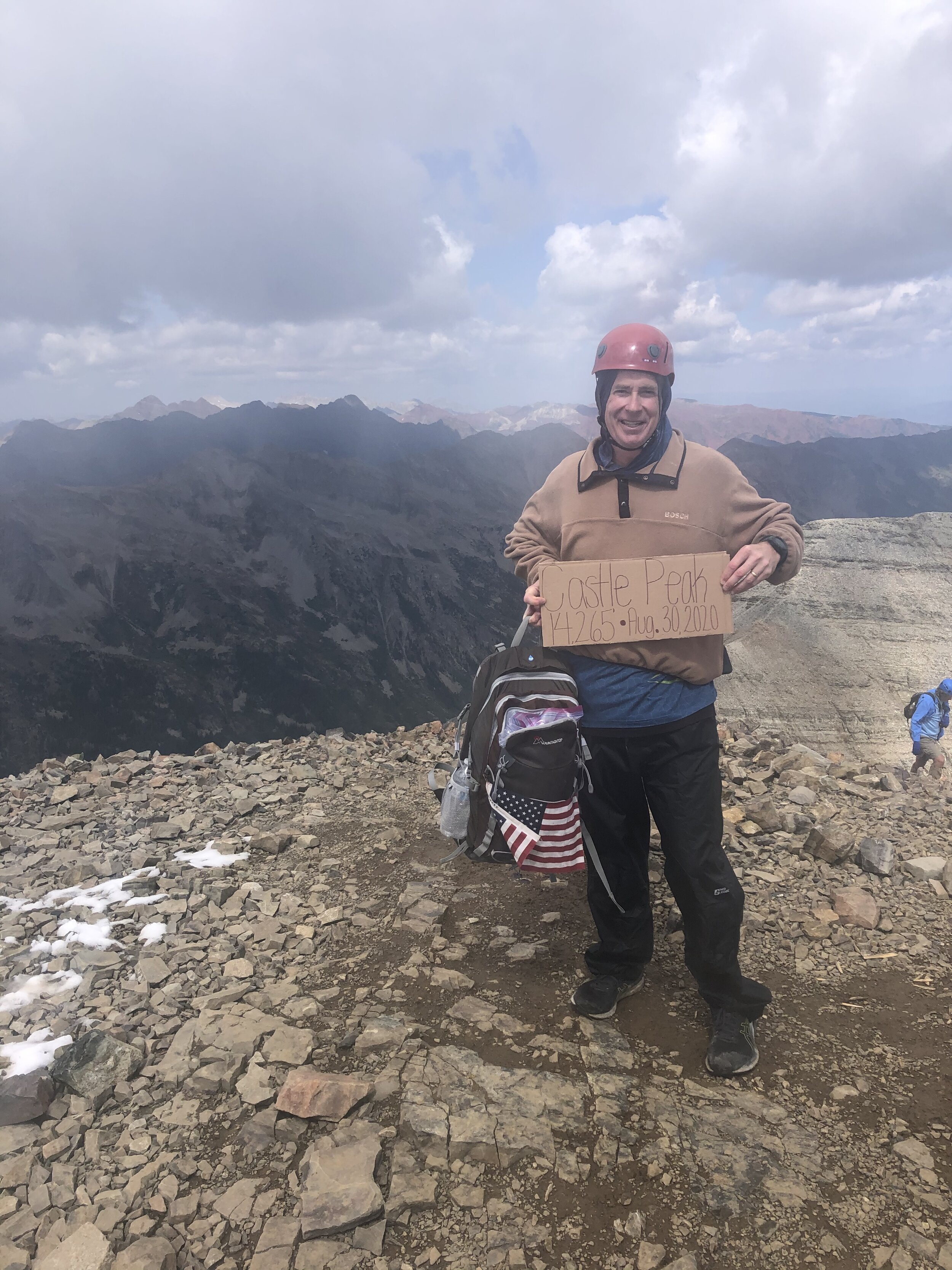
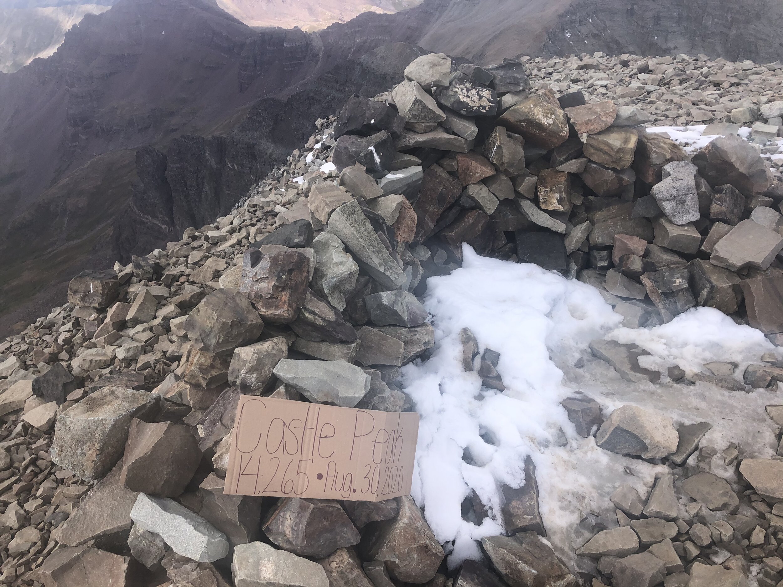
My dad and I reached the summit of Castle Peak at 6.20 miles/4 hours and 3 minutes in. Woo hoo, our first peak in the Elk Range and my 42nd 14er! We took some pictures (the first set of pictures, took some better pictures when resumitting Castle ;), keep reading to see them) and only stayed at the summit for 8 minutes before beginning our descent towards the saddle between Conundrum and Castle. Somehow a filter was hit on my iPhone for most of these pictures and I didn't change them back because I didn't feel like it. I look like some Instagram filter girl lmao.
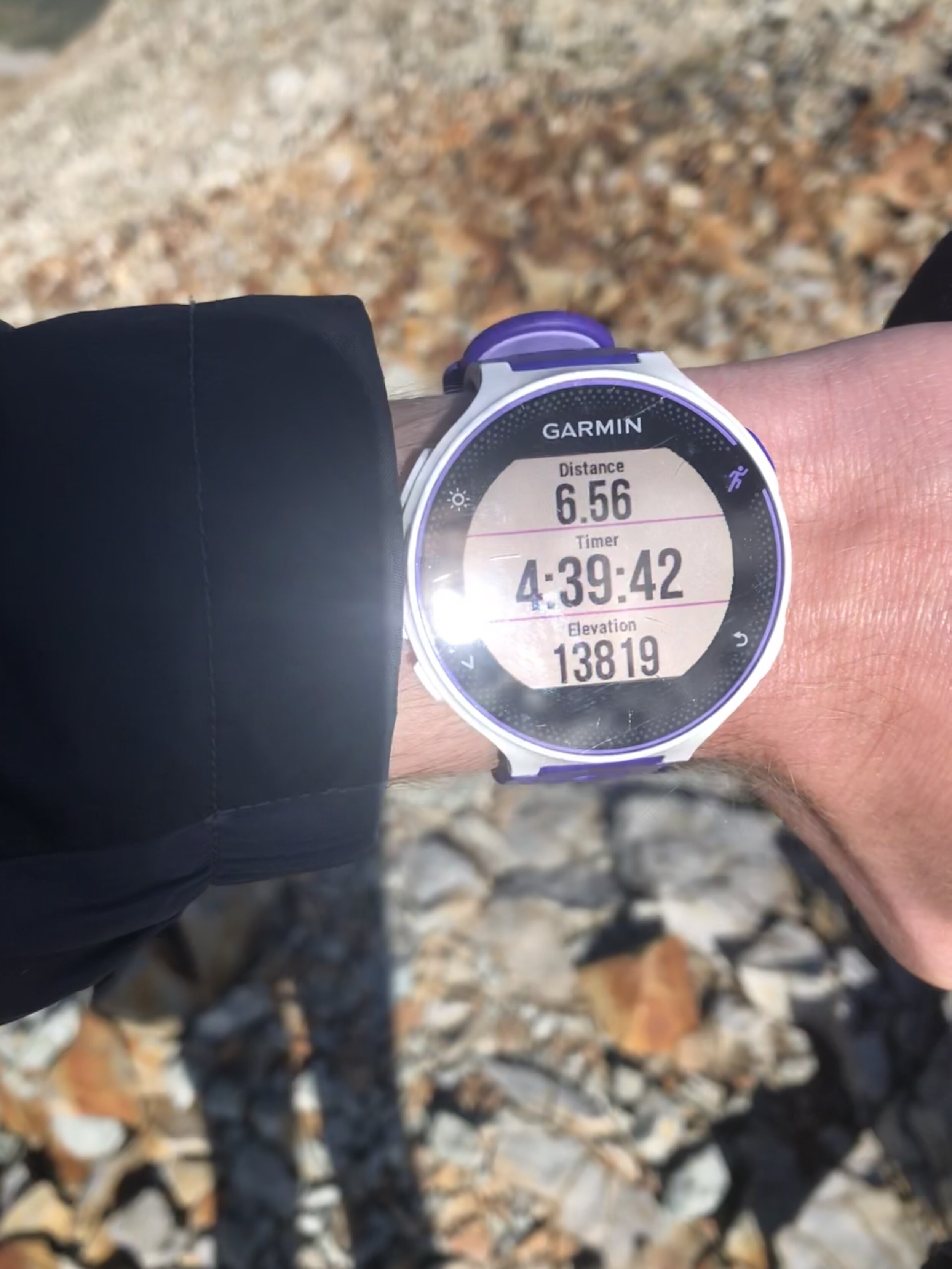
Honestly, I was not having fun on the descending to the saddle between Conundrum and Castle. It was pretty icy, so I had to be extra careful. I’m already careful when hiking and climbing, but I was not interested on slipping on the ice and tumbling down (it was a pretty steep descent). I made it to the saddle (elevation 13,819’) at the 4 hour and 39 minute mark/6.56 miles. We lost approximately 500’ in elevation from Castle’s summit.
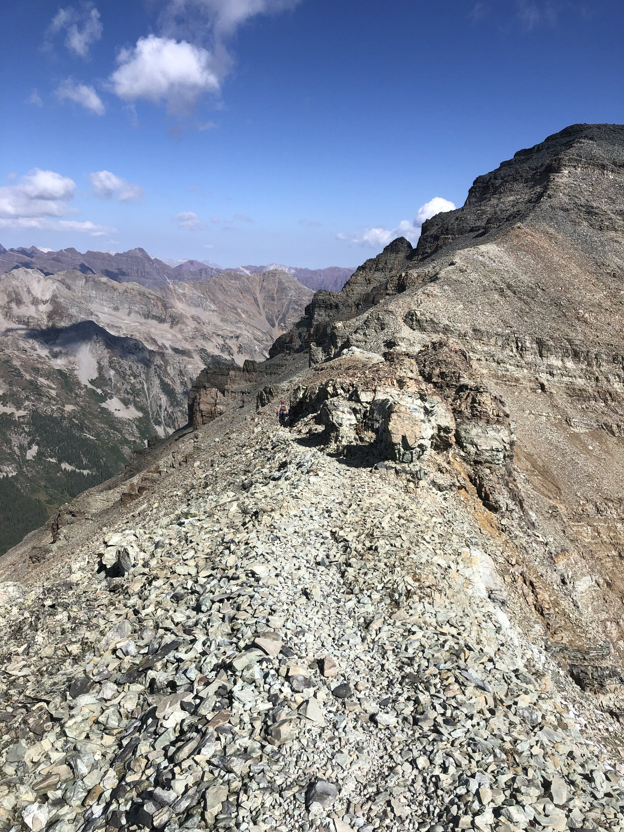

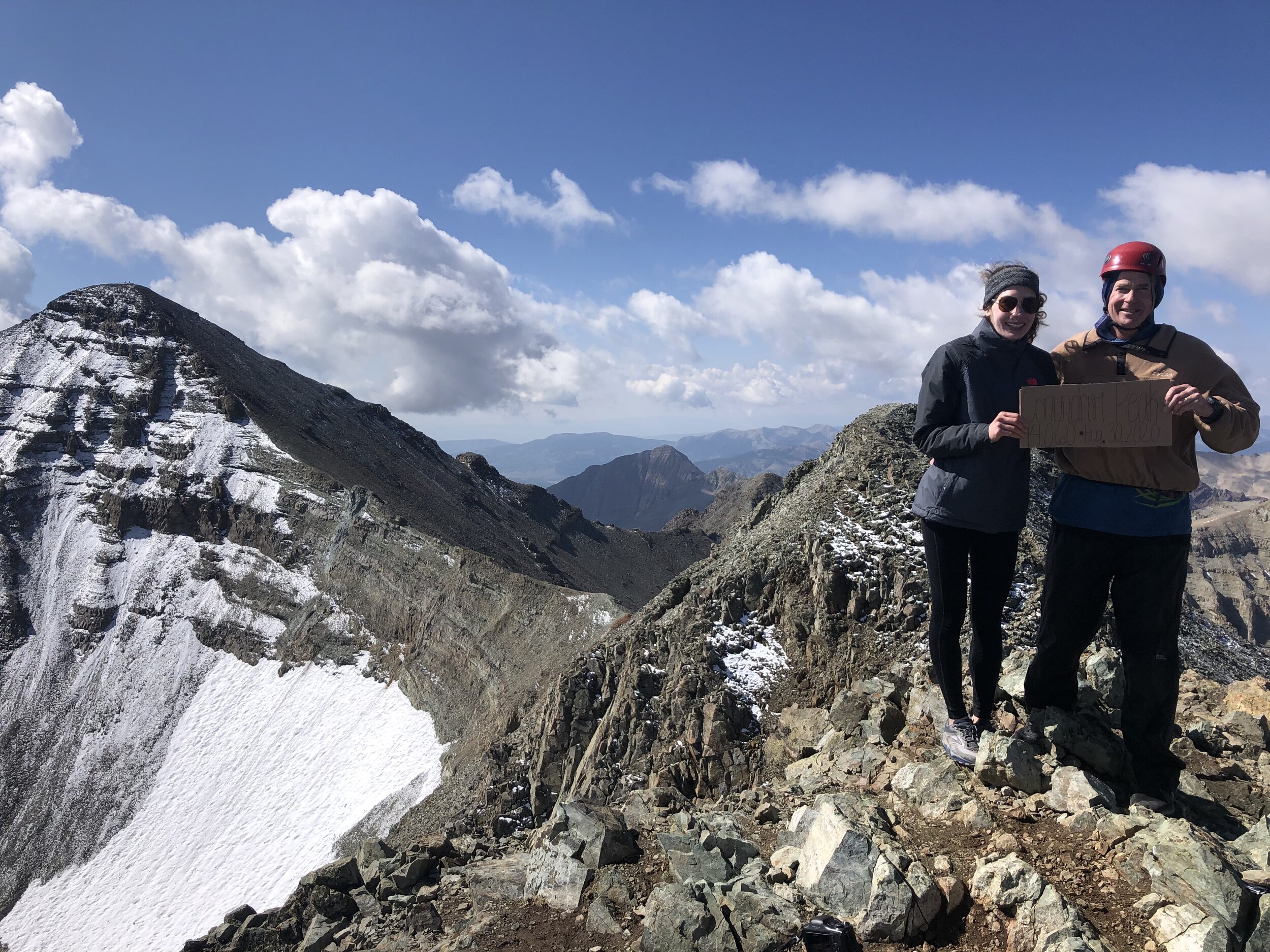
The ascent up to Conundrum was short and sweet from the saddle (since its elevation is only 14,060’). We hiked about 11 minutes before reaching a flat rocky section that we hiked on for a quick bit. We then descended a little bit (maybe like 30-40’) to a notch before the final pitch to Conundrum’s summit.
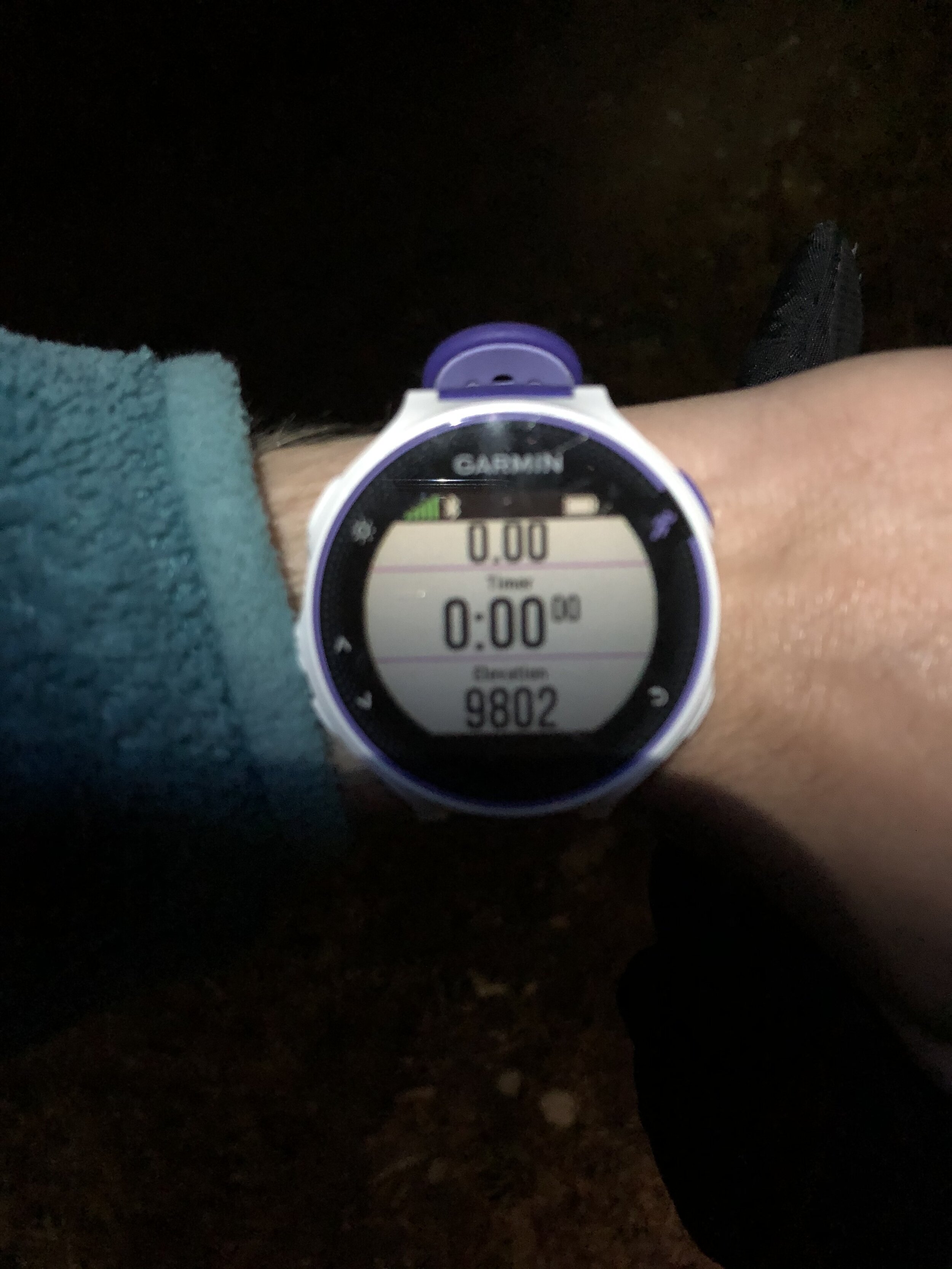
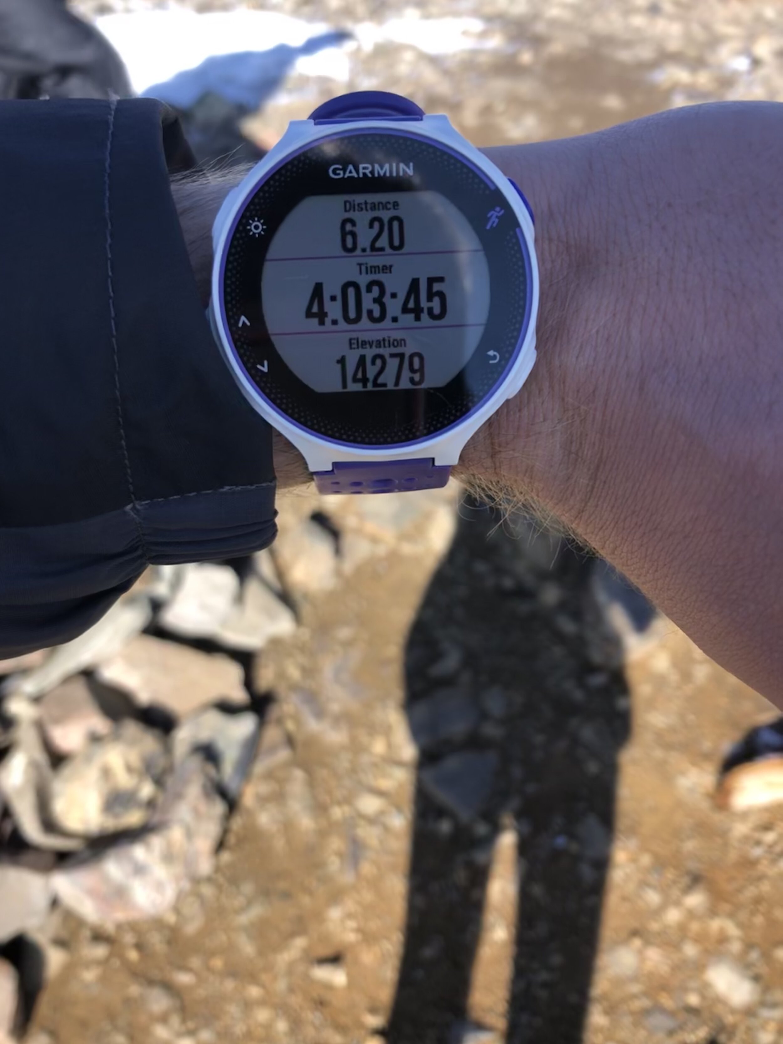
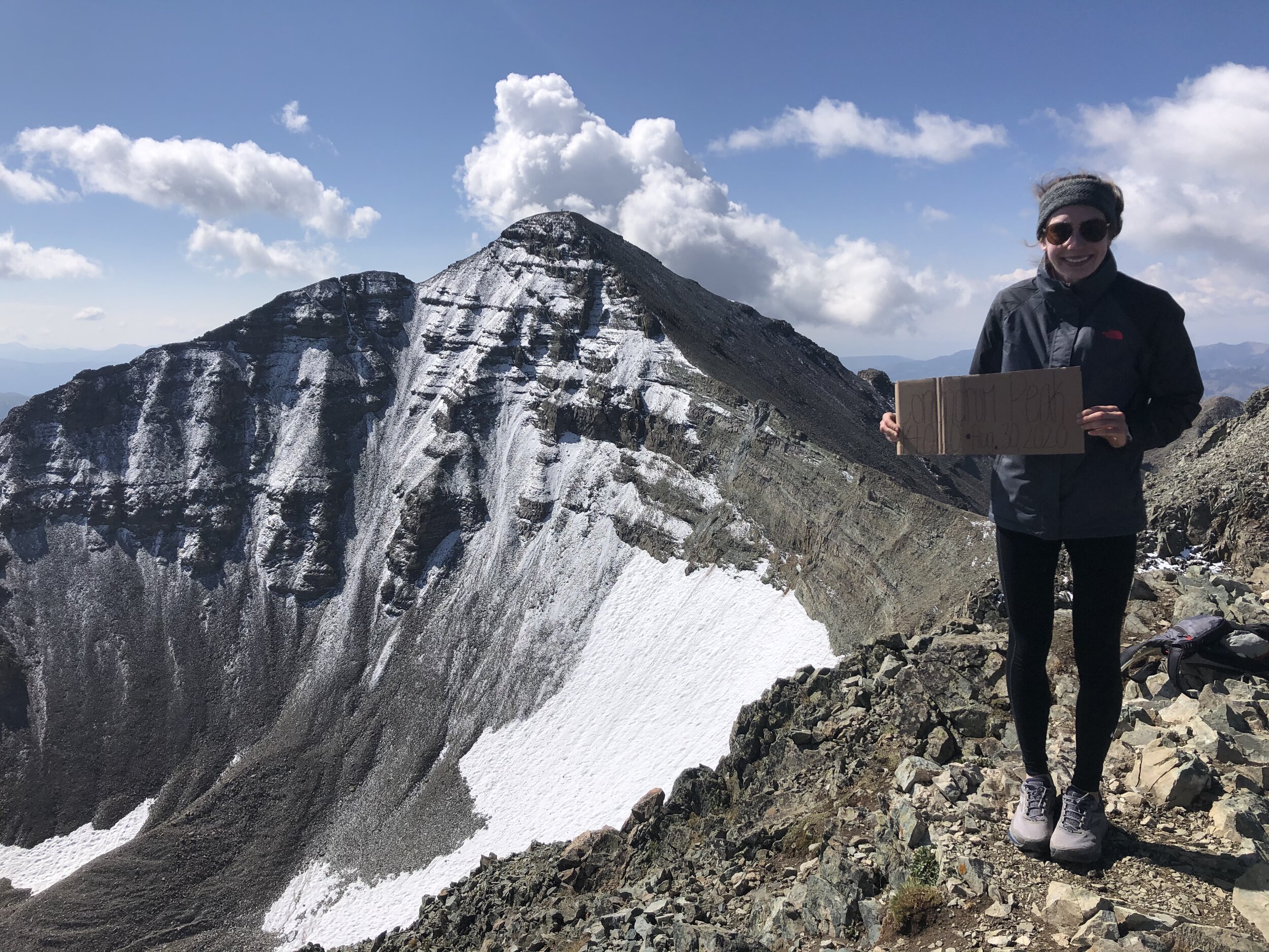
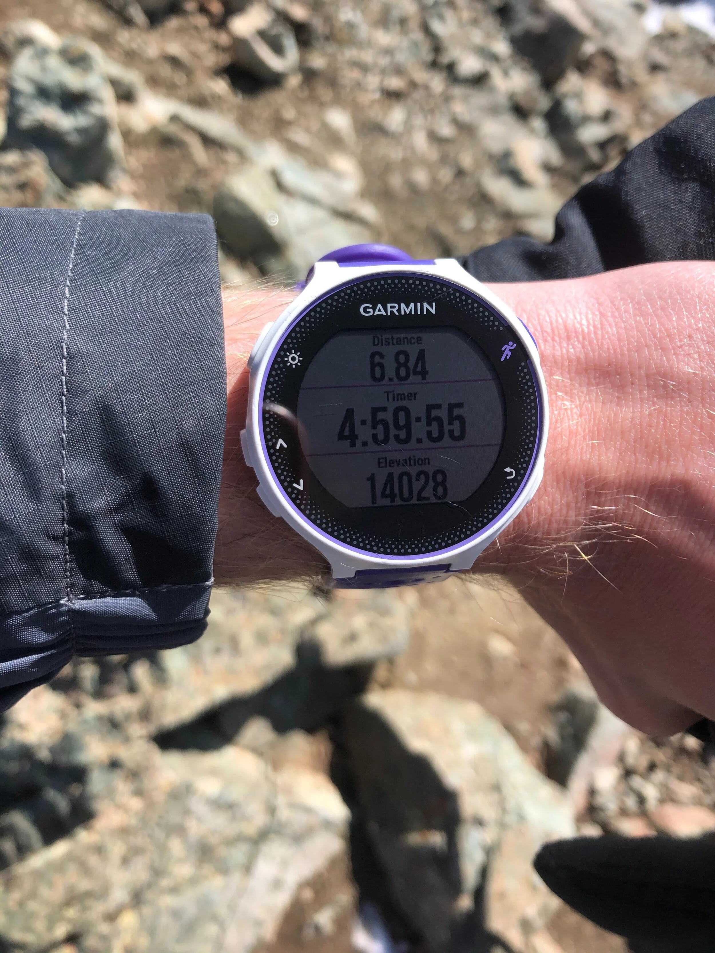
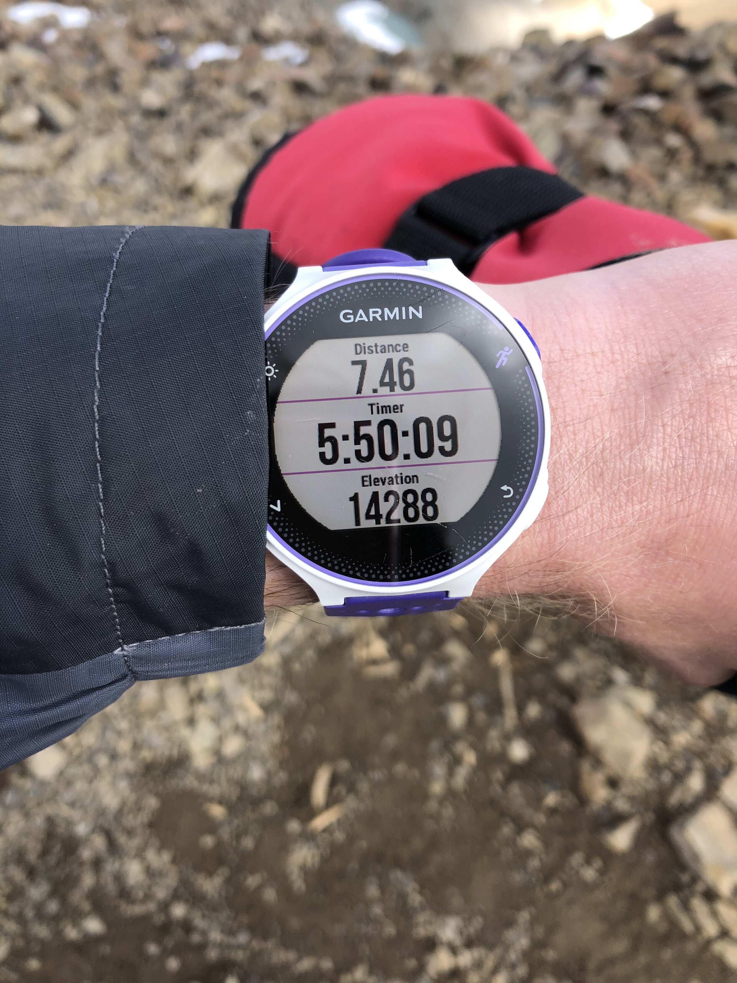
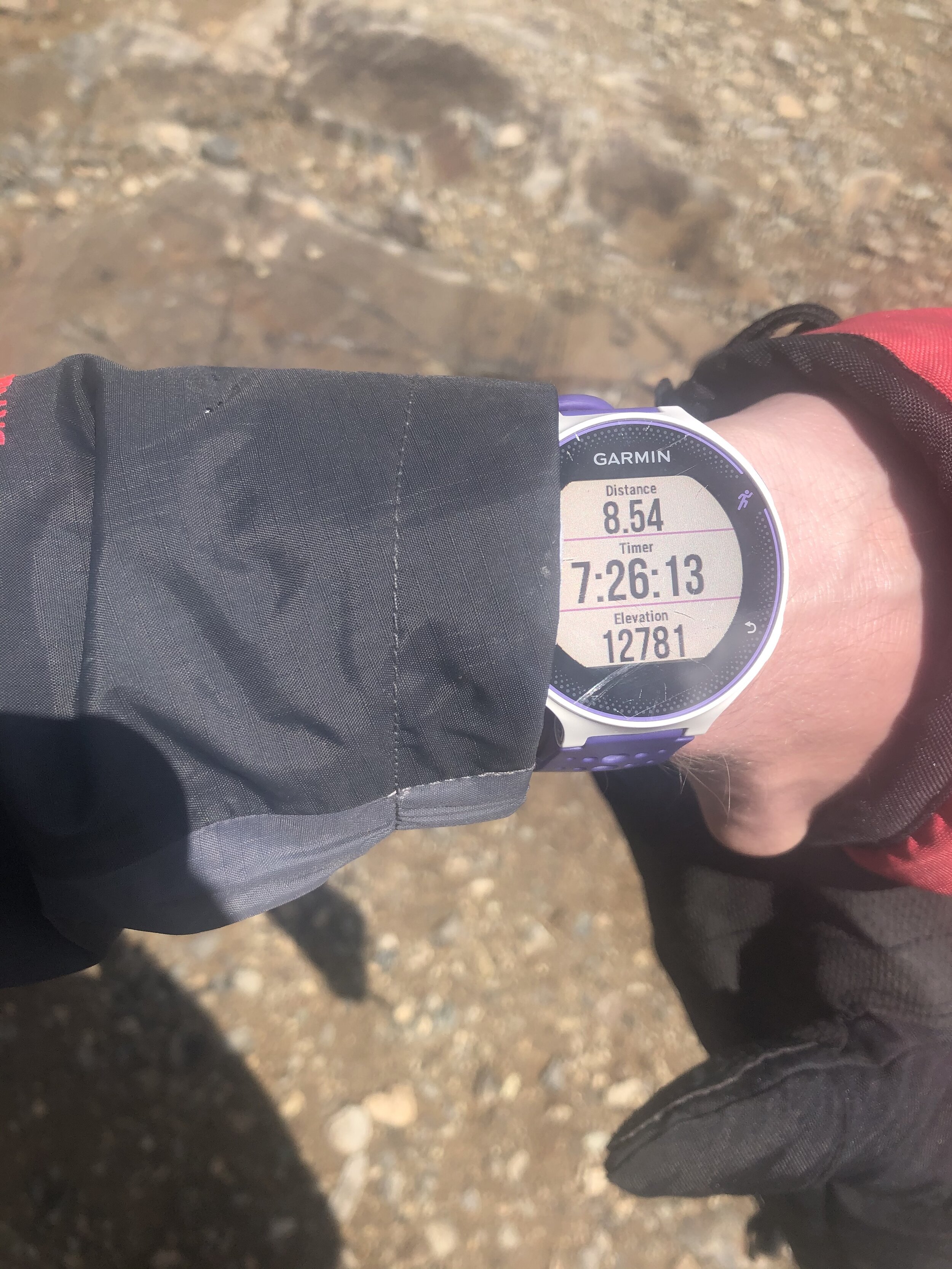
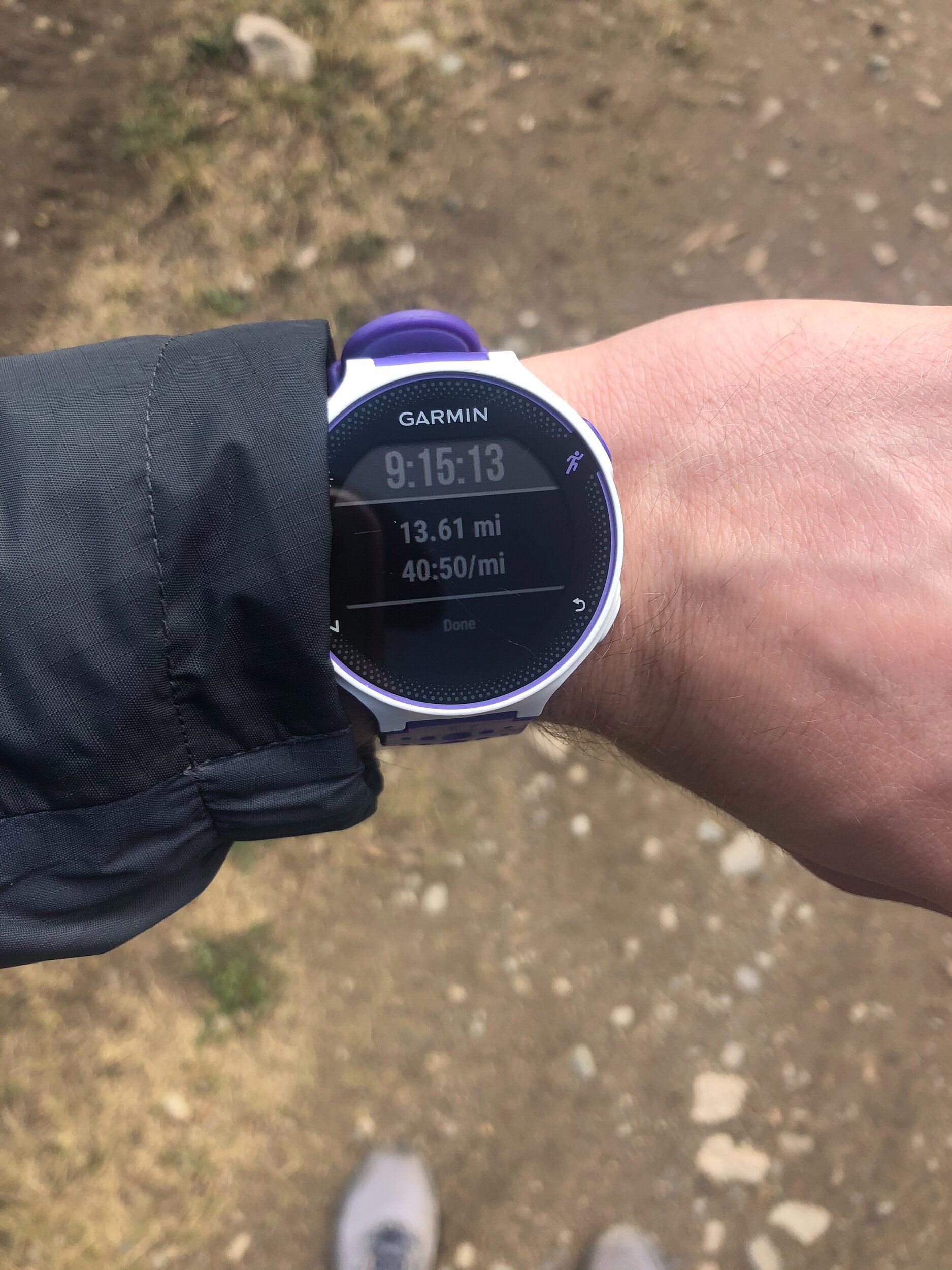
SUB 5 HOUR CLUB TO REACH THE CONUNDRUM PEAK SUMMIT >:). See my garmin picture for evidence below, 4 hours, 59 minutes, and 55 seconds, and 6.84 miles (elevation is a little off though because Conundrum is 14,060’). It took 48 minutes to go from Castle and Conundrum. We took some cool pictures with Castle in the background and stayed on the summit for 14 minutes before beginning our descent.
Some people decide to descend from the saddle so they don’t have to resummit Castle (and it’s much quicker); however, after researching these peaks, this option did not seem worth it (since it’s loose scree). When there is a lot of snow (earlier in the summer), a lot of people glissade down….but that is not a risk worth taking and I’m not trying to risk a bad injury just because I don’t want to hike lol). Anyways, it took me 37 minutes to get back to Castle (which is impressive since you gain 500’/lose 250’ on this compared to the opposite going over to Conundrum). I was not lying when I said the ice slowed me down. It was still icy on the return, but it definitely seemed to have melted a bit and it’s different slipping going up compared to going down haha.
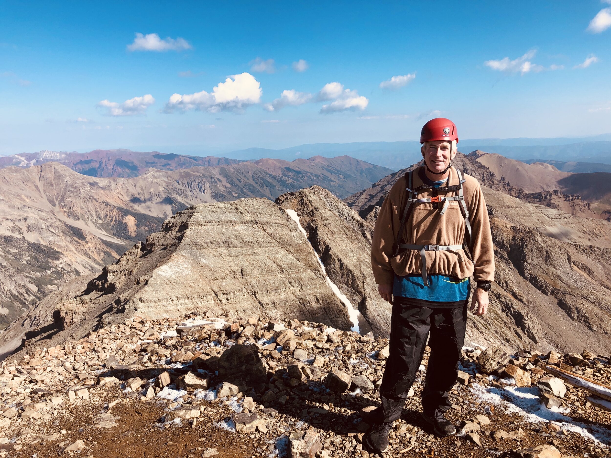
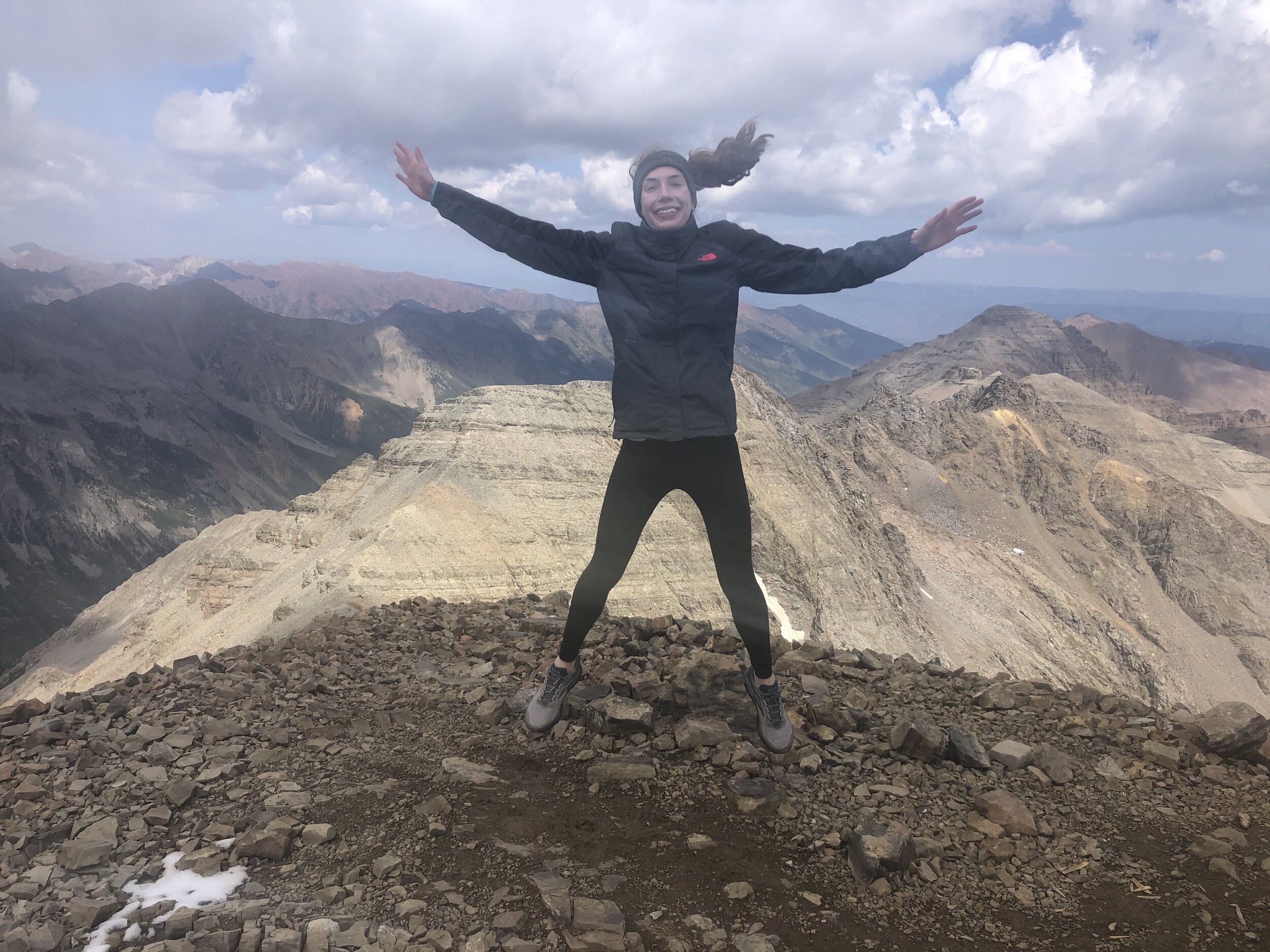
5 hours and 50 minutes/7.46 miles later, we were back at Castle’s summit. I took a second set of summit pictures and came up with a new summit pose in addition to my standard sign and hands on my hips pose—me jumping!!!! I WILL ATTEMPT THIS POSE ON SUNLIGHT PEAK… I will go ahead and say this is sarcasm. Don’t take me seriously. We stayed up here for 12 minutes before beginning our descent.
We took the beginning part of the descent very carefully, but it was still much quicker than the ascent took. It took 42 minutes to reach that part where the steep switchback section started (8.08 miles/6 hours and 47 minutes at this point). I knew that the hike would be especially easy once we went through the boulder/talus field and got back to the road. We reached near the road at 8.54 miles/7 hours and 26 minutes.
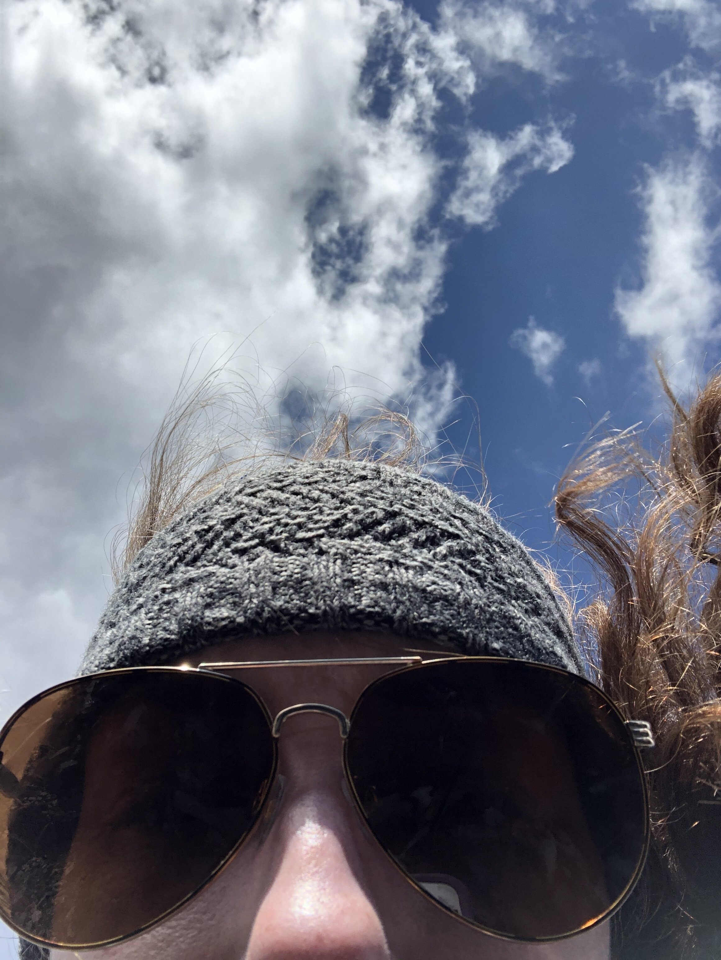
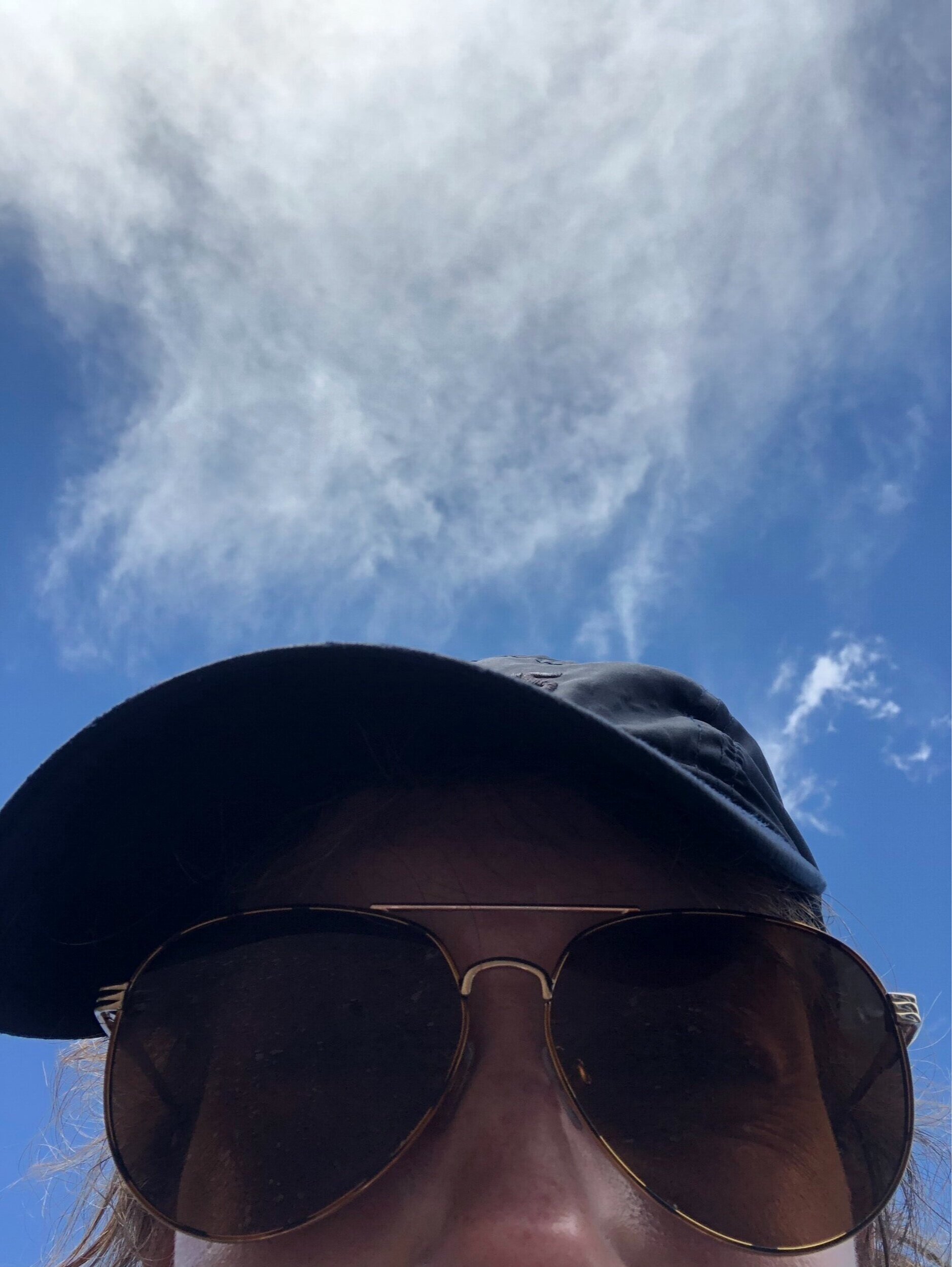
Now, it was just a 3000’ descent over about 5 miles down the FR102….pretty simple. About 30 minutes or so from where we started, it began raining pretty hard so that was fun. 9 hours and 15 minutes/13.61 miles later, my dad and I finished the Castle and Conundrum combo! Woo hoo. I took a kristin selfie and look like such a cool mf with my hat kinda sideways because of my ponytail.
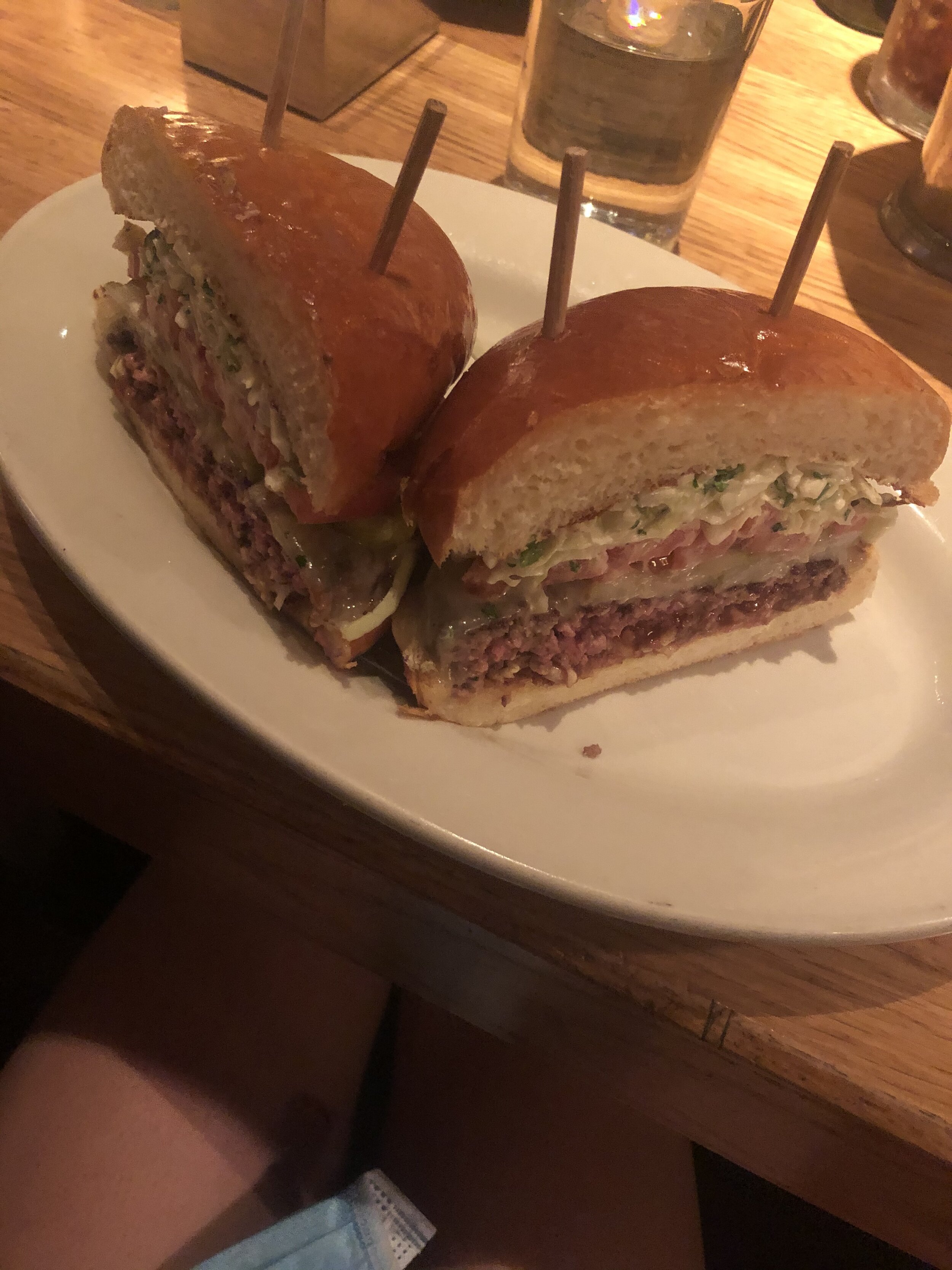
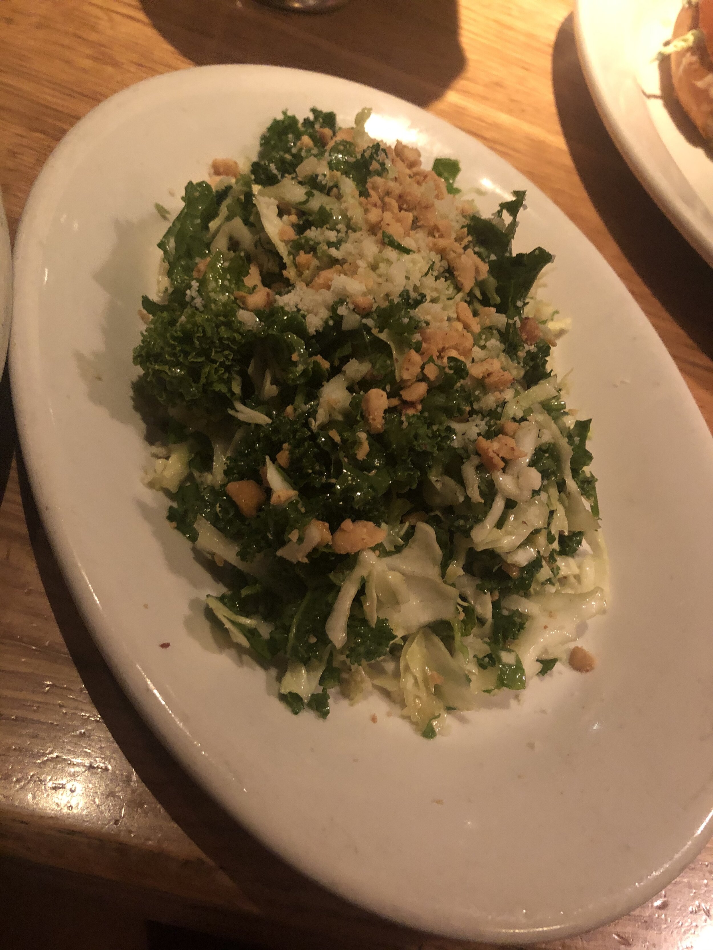
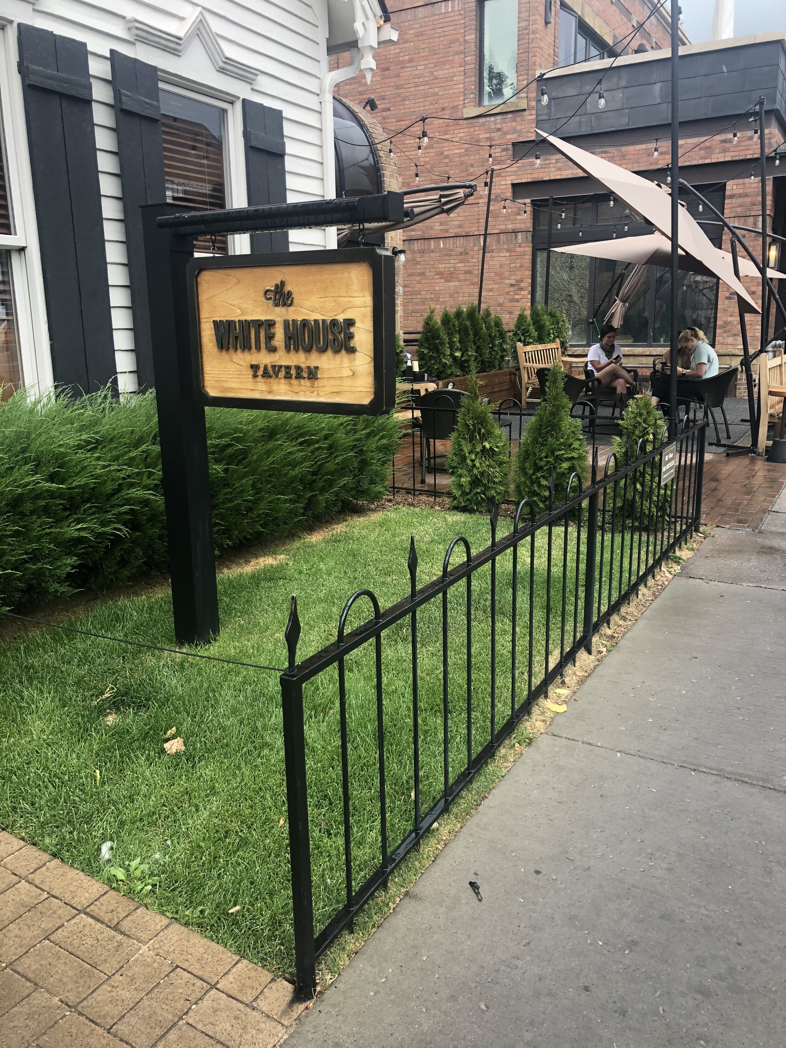
After we finished, we drove back into Aspen, met up with my sister, and got the first real meal of the day (lol…it was 4pm so not sure whether it was lunch or dinner) at the White House Tavern. Kinda expensive place…I got the honor burger (had barbecue sauce, cole slaw, tomato, SUPER GOOD) and this delicious kale salad. I wanted Mexican food, but this was alright. Anyways, we ate and my sister drove with me to Twin Lakes, where she left me :( to head with my dad to DIA and I went back to the Springs. Fun weekend!