Challenger Point and Kit Carson Peak
July 3, 2020 / 14,081’ (Challenger) & 14,165’ (Kit Carson)
RT STATS: TOTAL TIME - 11 HR & 58 MIN, 15.72 MILES, AND 6,700’ ELEVATION GAIN
TIME STATS: 5 Hr & 9 Min to Challenger, 10 min at Challenger Summit, 1 hr & 4 Min to Kit Carson, 42 min at KC Summit, 57 min back to Challenger, 3 hr & 56 Min back to Trailhead
RATING (HOW MUCH I LIKED THE HIKE): 8/10
I have to say…this is definitely the hardest 14er hike I have ever done. Not only was it another solo hike for me, but it is also the longest hike time-wise that I’ve been on by 2 whole hours!!!! Oh well, these were my 33rd and 34th 14ers. This hike definitely was full of type 2 fun…not gonna lie, but it was a great way to celebrate the 4th of July—a day early! I did this hike a day earlier than I thought I would because the weather on Friday the 3rd looked much more favorable than the weather on the 4th.
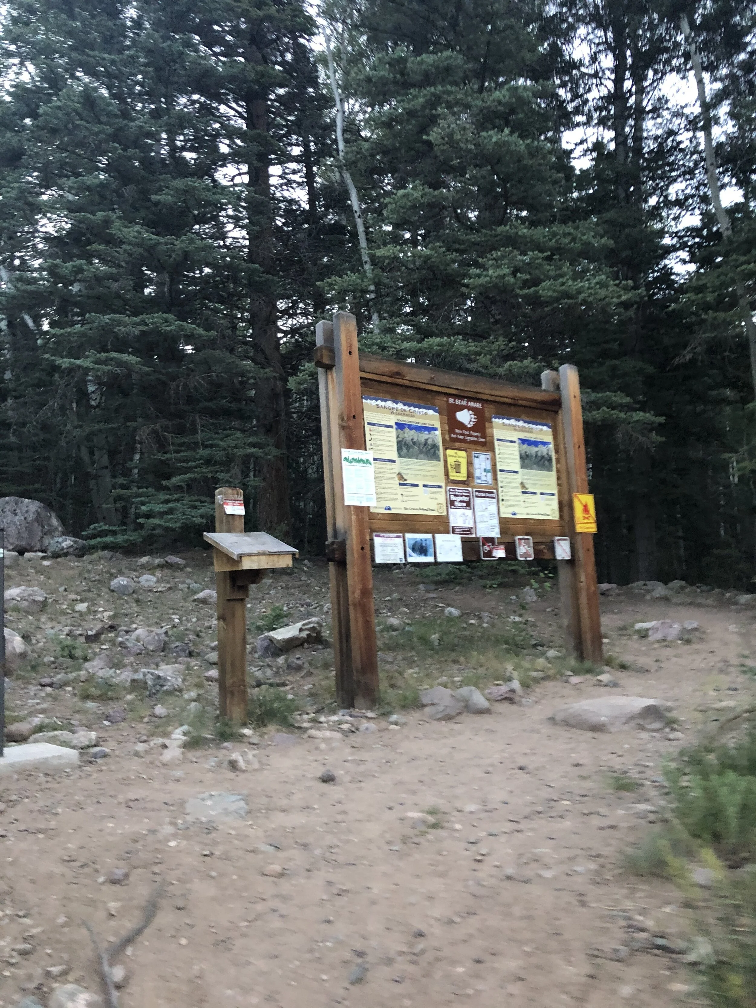
Anyways, I woke up a little before 1:30 am (a new record) and left the Springs at 1:50 am to drive over to Crestone. I drove through Canon City, Salida, and Moffat to reach Crestone…I appreciate this drive to the Sangre de Cristo Range so much because I didn't have to drive on US-24 to the Sawatch (lol). I reached the Willow Lake Trailhead a little bit after 5:00 am…the lot was pretty full.
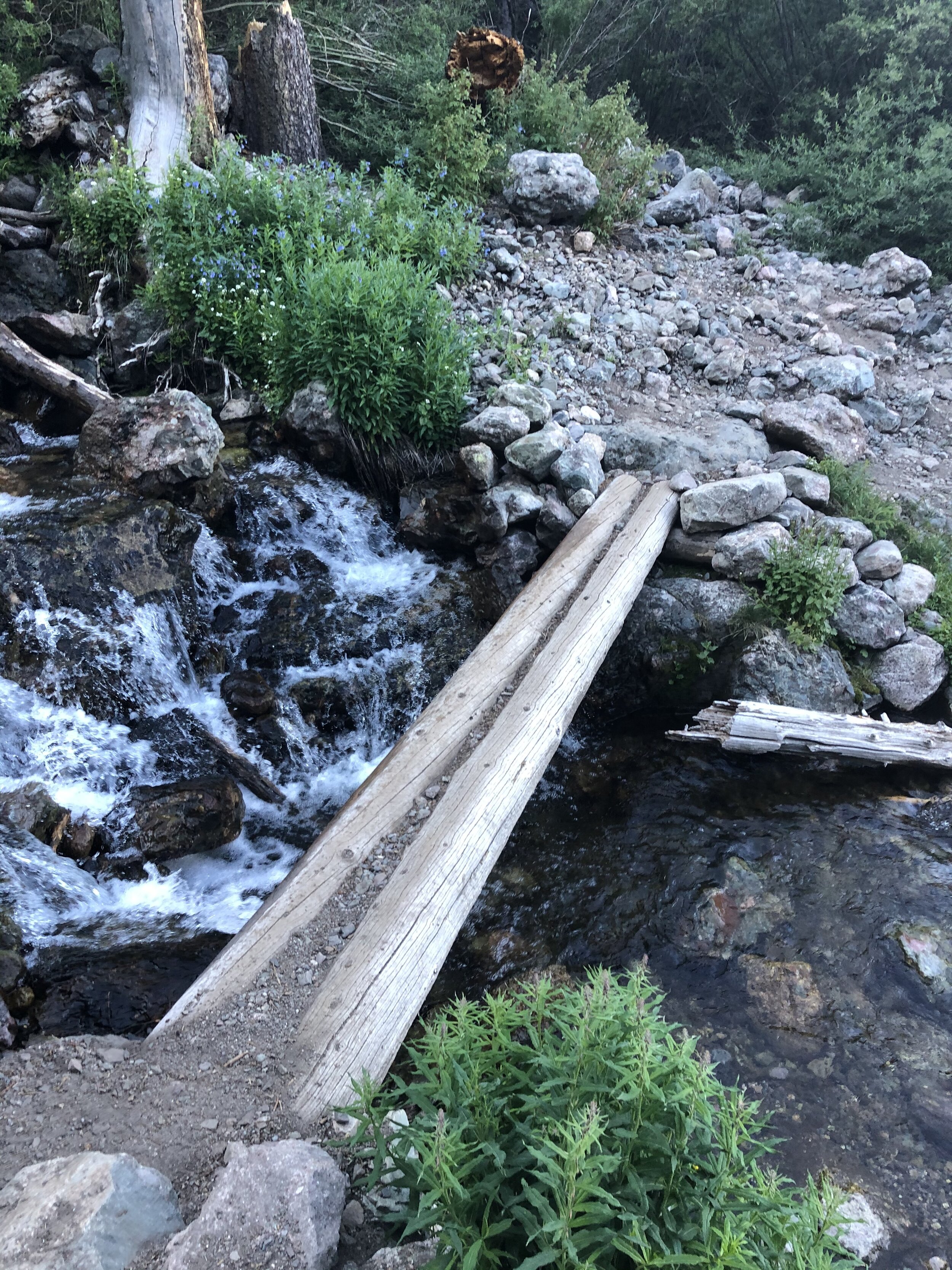
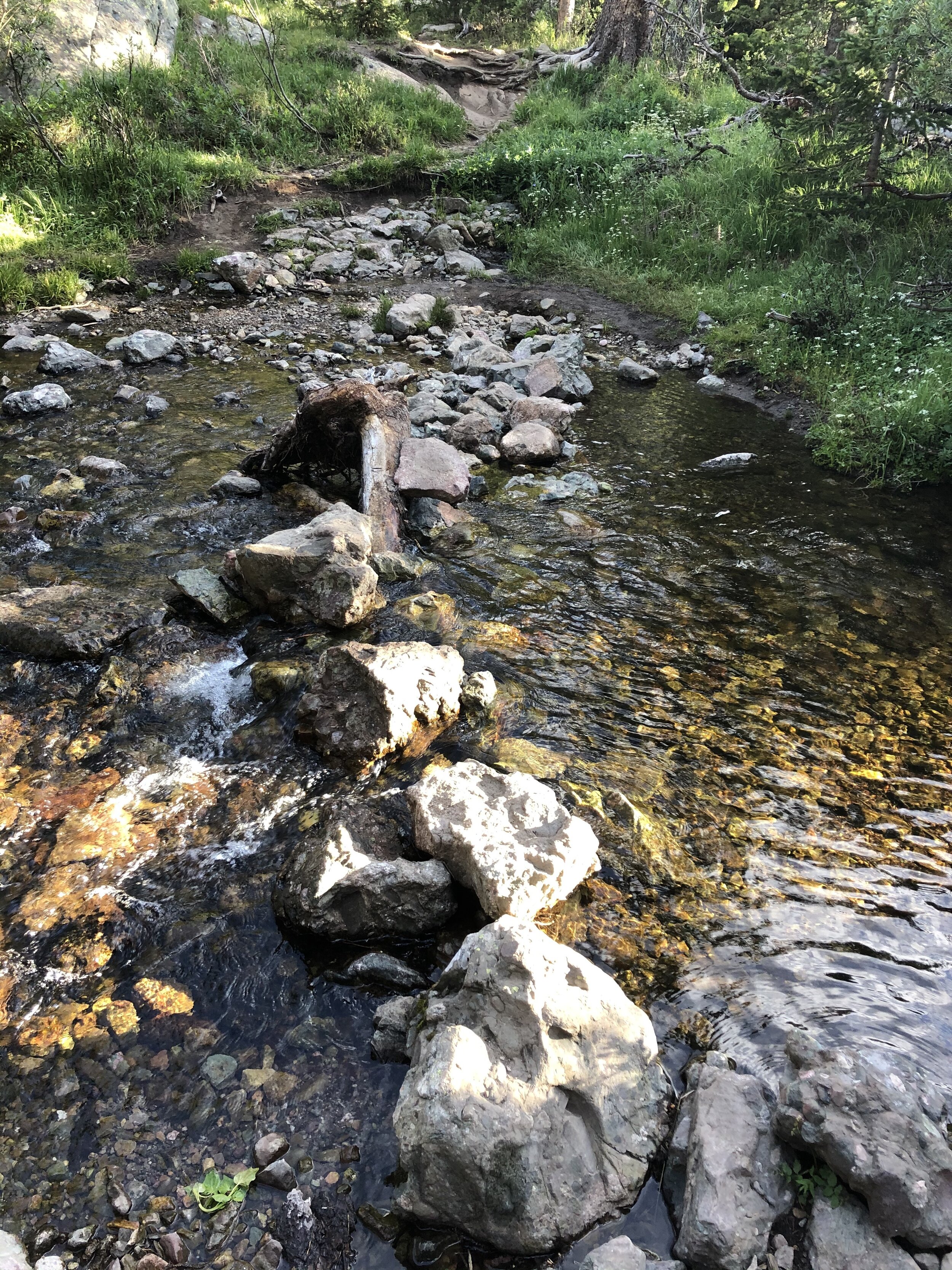
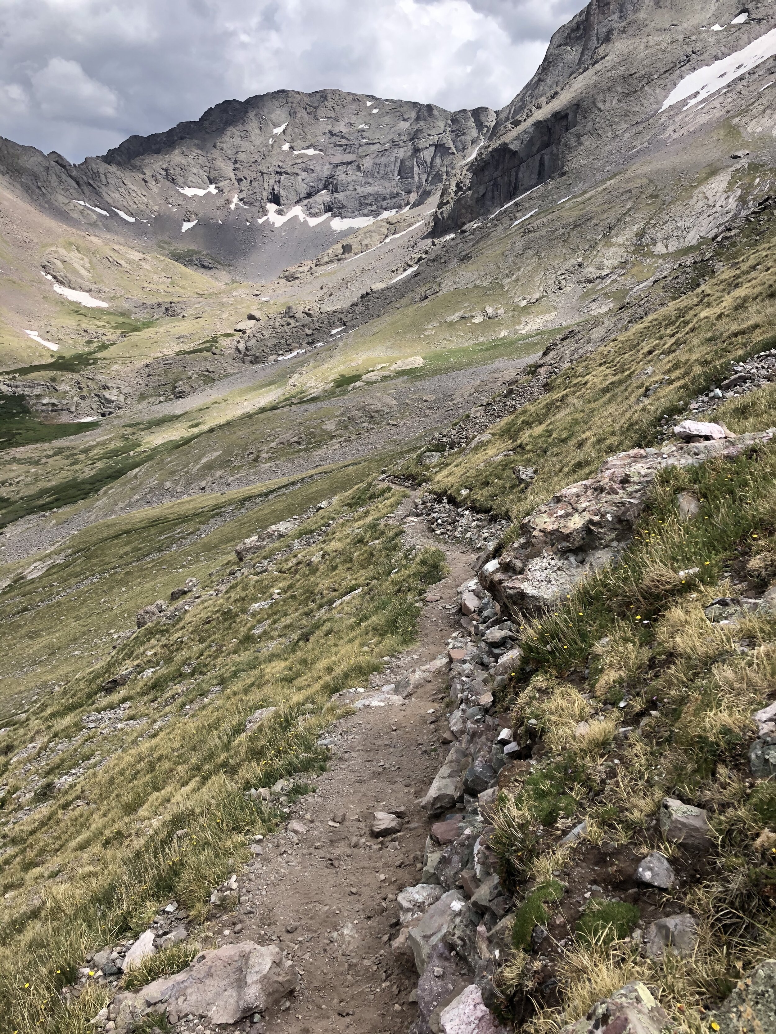
I set off on the hike at 5:30 am. I signed the trailhead register for fun but it was completely full and people had just been writing in the margins the past few days it looked like. Pretty much immediately, I crossed a stream (forgot to snap a pic, whoops) and then hiked through some loose sand (flashback to the Great Sand Dunes a week ago) for a few minutes. Then, I got on a nice easy (Class 1) trail.
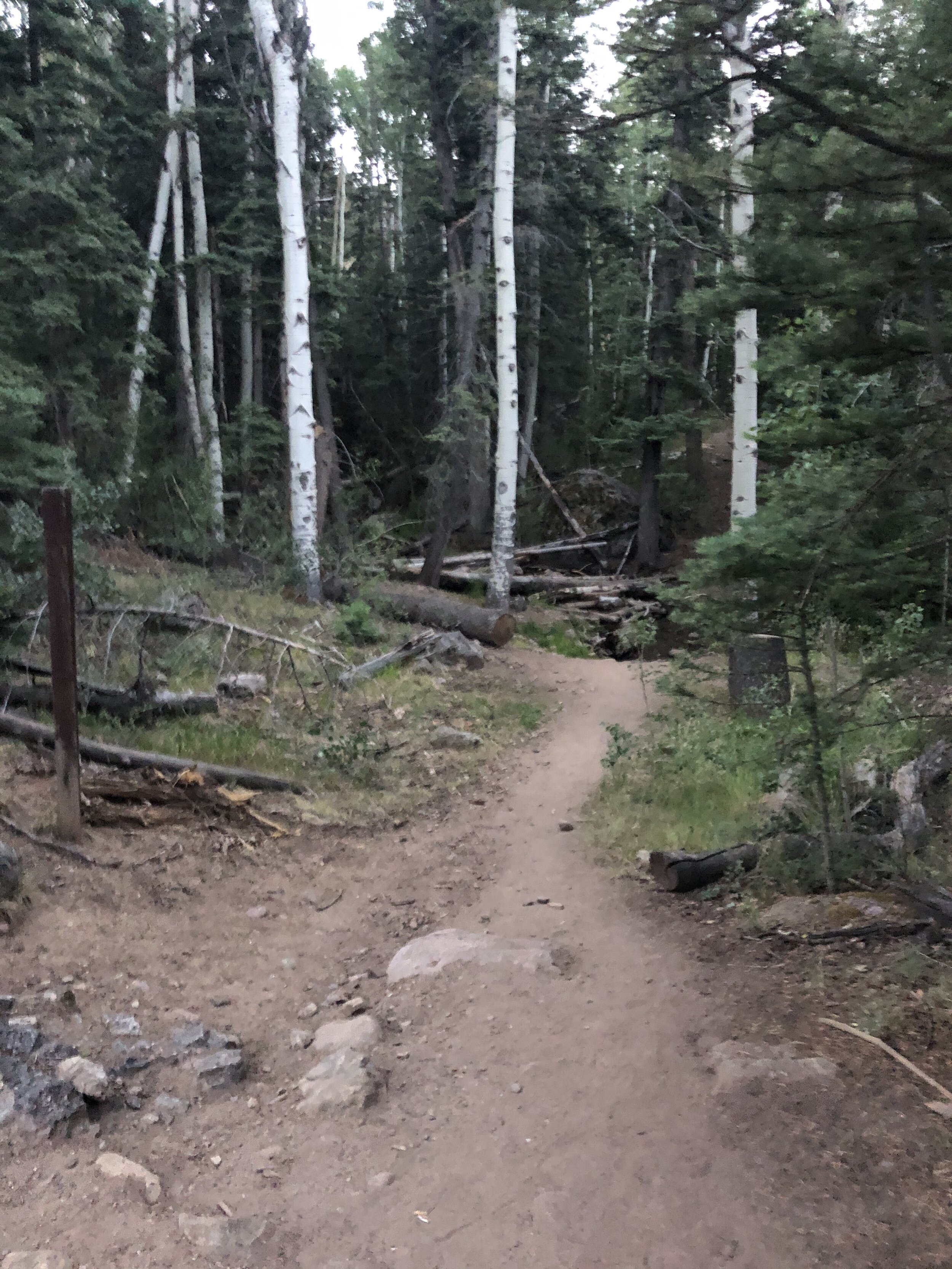
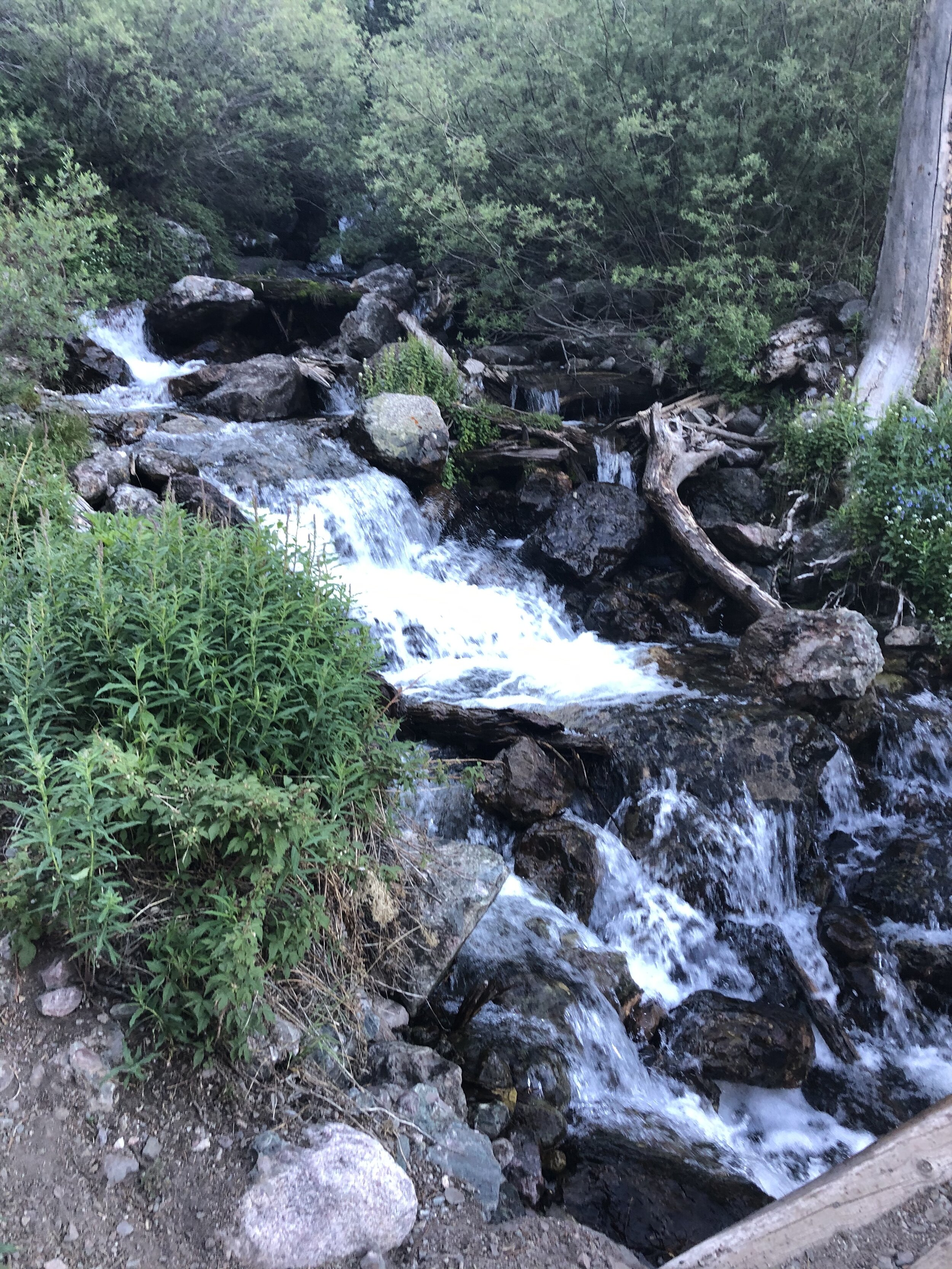
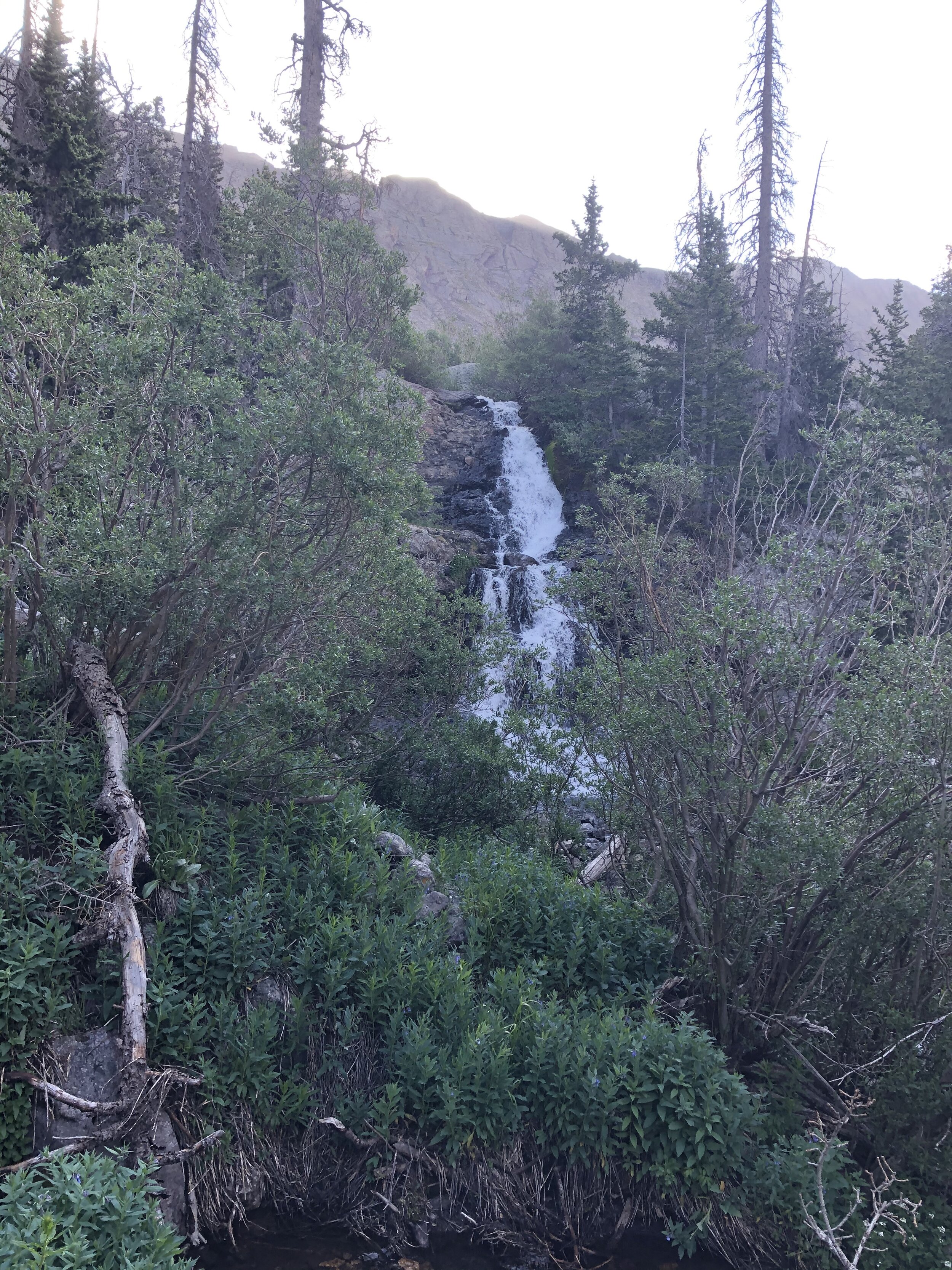
The first ~4.5-5 miles of the hike (before you reach Willow Lake) is just a simple Class 1 trail. At 3.5 miles/10,900’ elevation, I saw the first waterfall of the hike and crossed the stream! 20 minutes later, I saw the second largeee waterfall!!!!

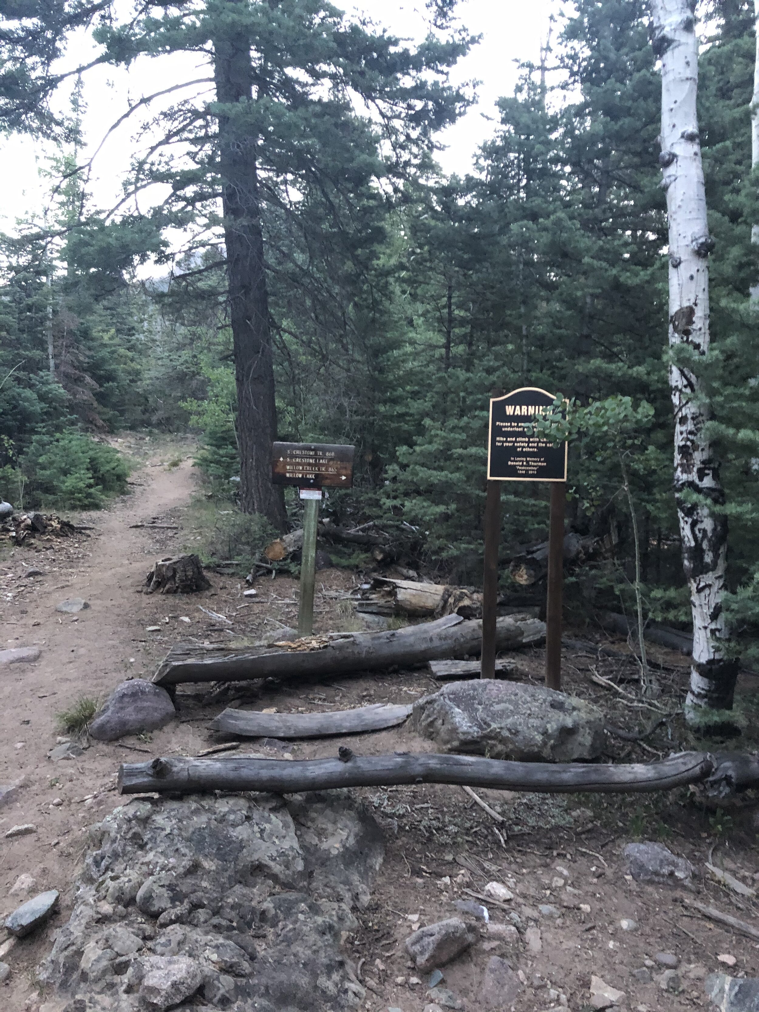
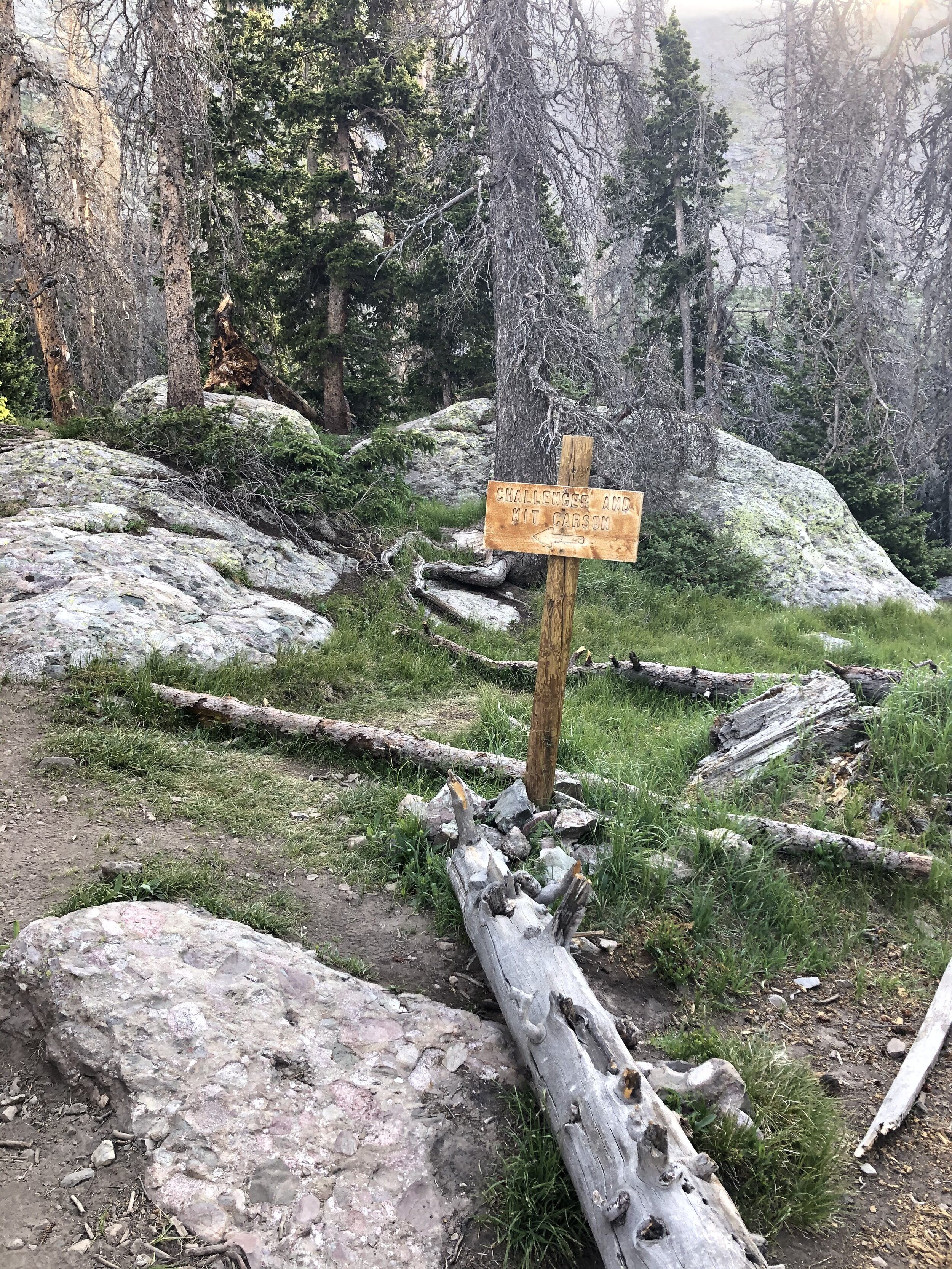
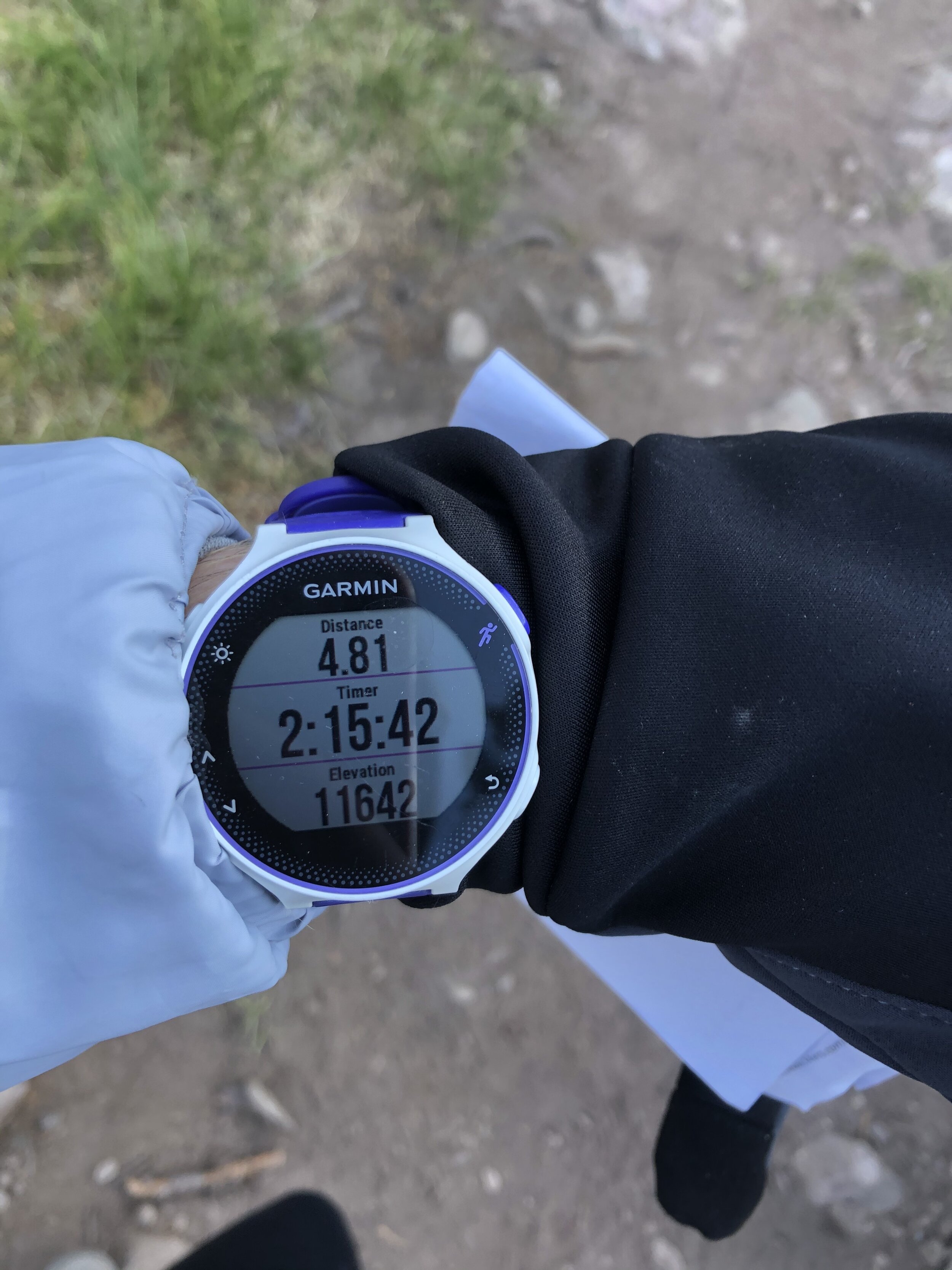
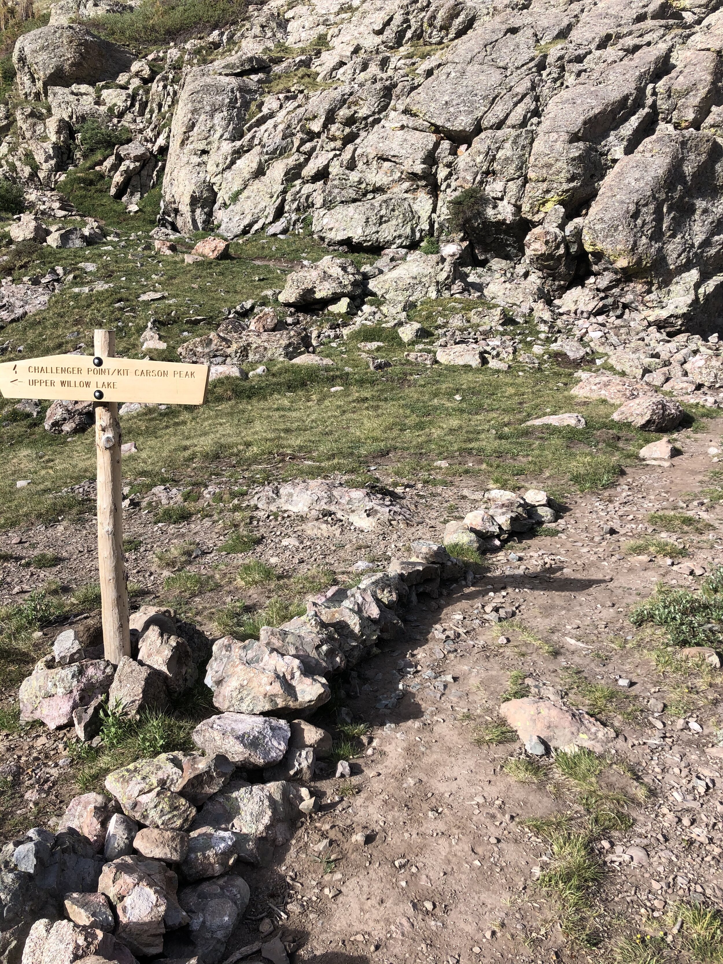
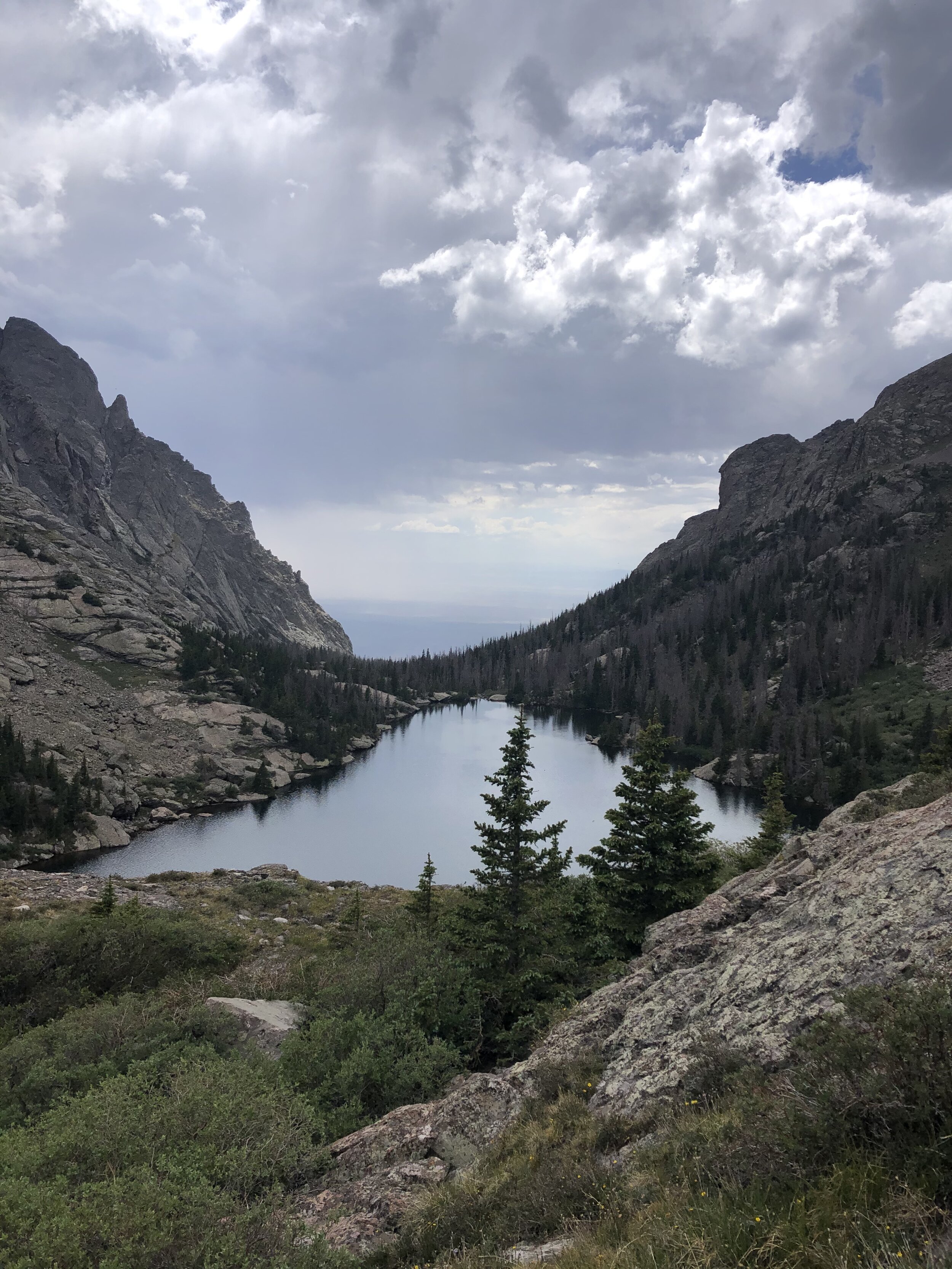
I started passing many tents of campers, which explains the full parking lot at 5am! At 2 hours and 15 minutes in (11,600’ elevation, 4.8 miles), I reached the sign directing me to go left to Challenger and Kit Carson! Little did I know, shortly after this would be where all the fun began ;) I took a 5 minute break and then continued on. Willow Lake was gorgeous.
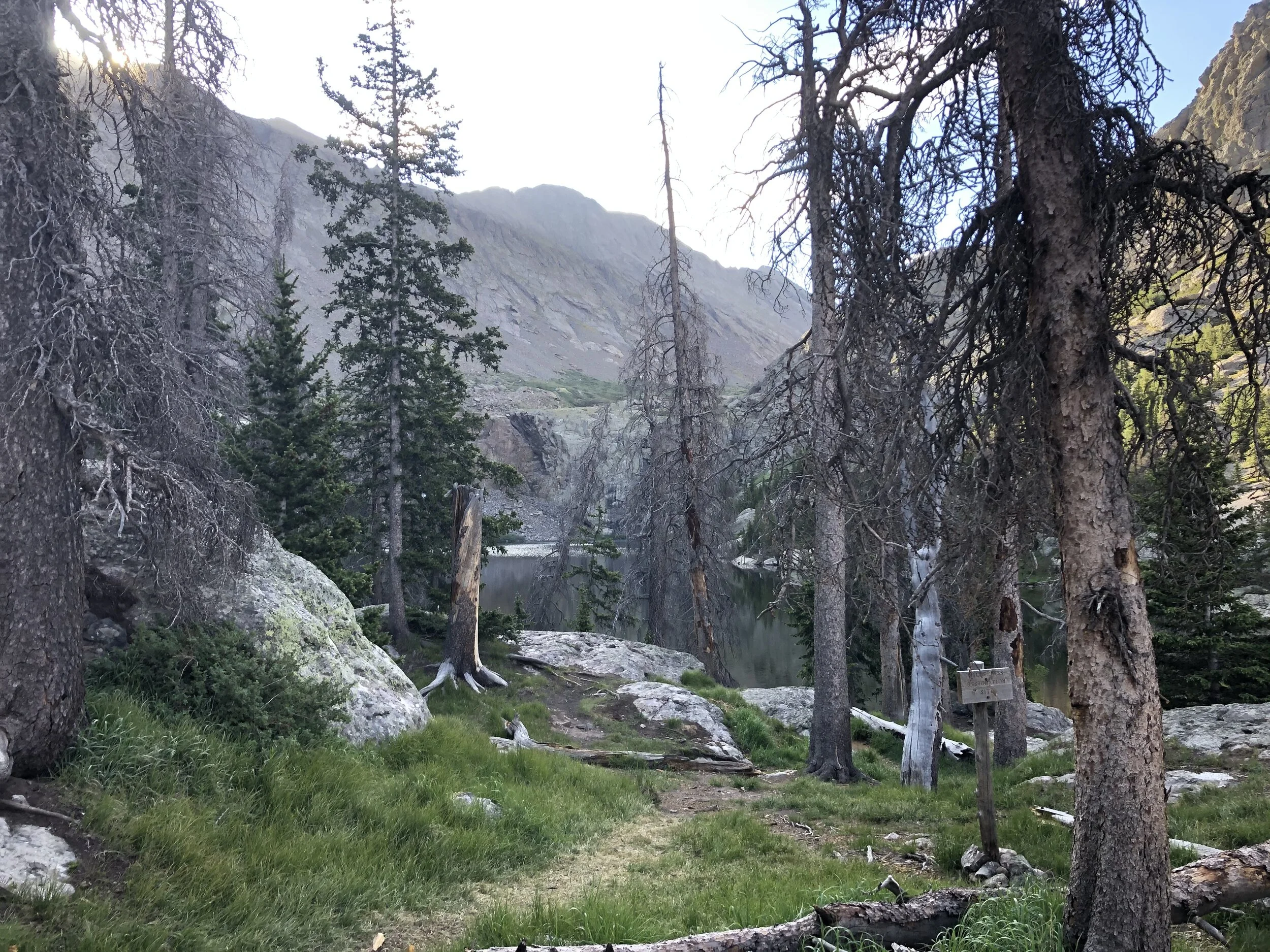
I hiked around the lake and reached another sign directing me towards Challenger and Kit Carson. I reached this sign at 5.44 miles (11,850’ elevation), which meant that the rest of the hike up was going to be hella steep. I took a kristin selfie with KC in the background, I look great ;)
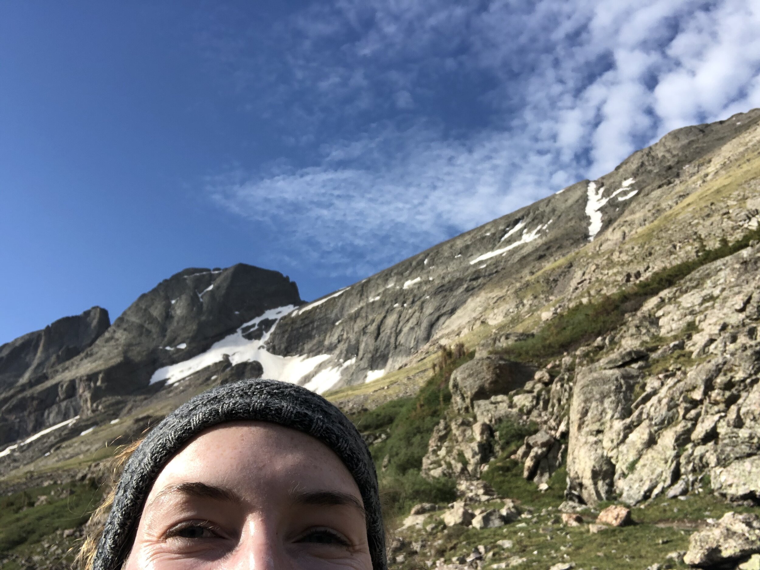
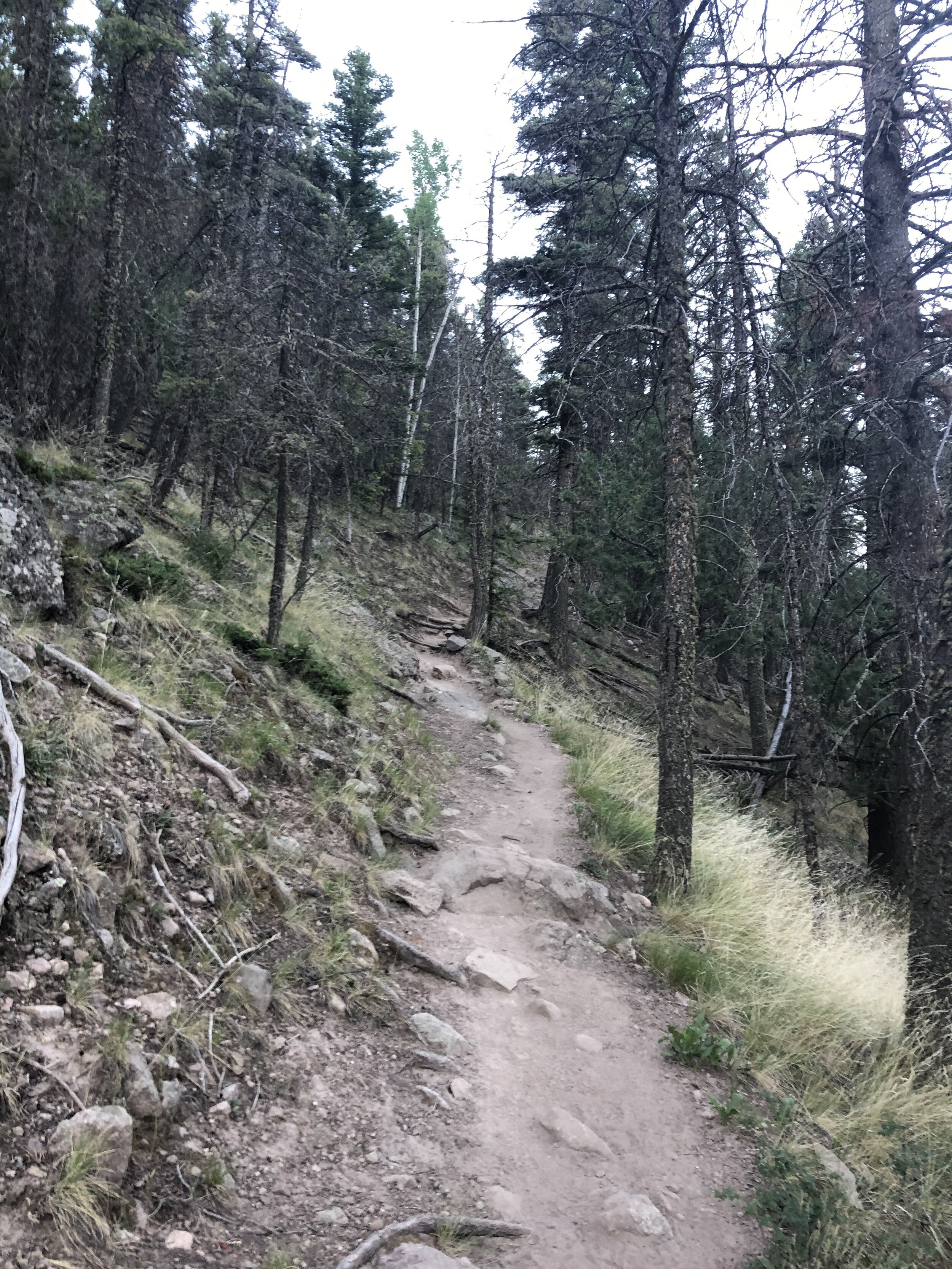
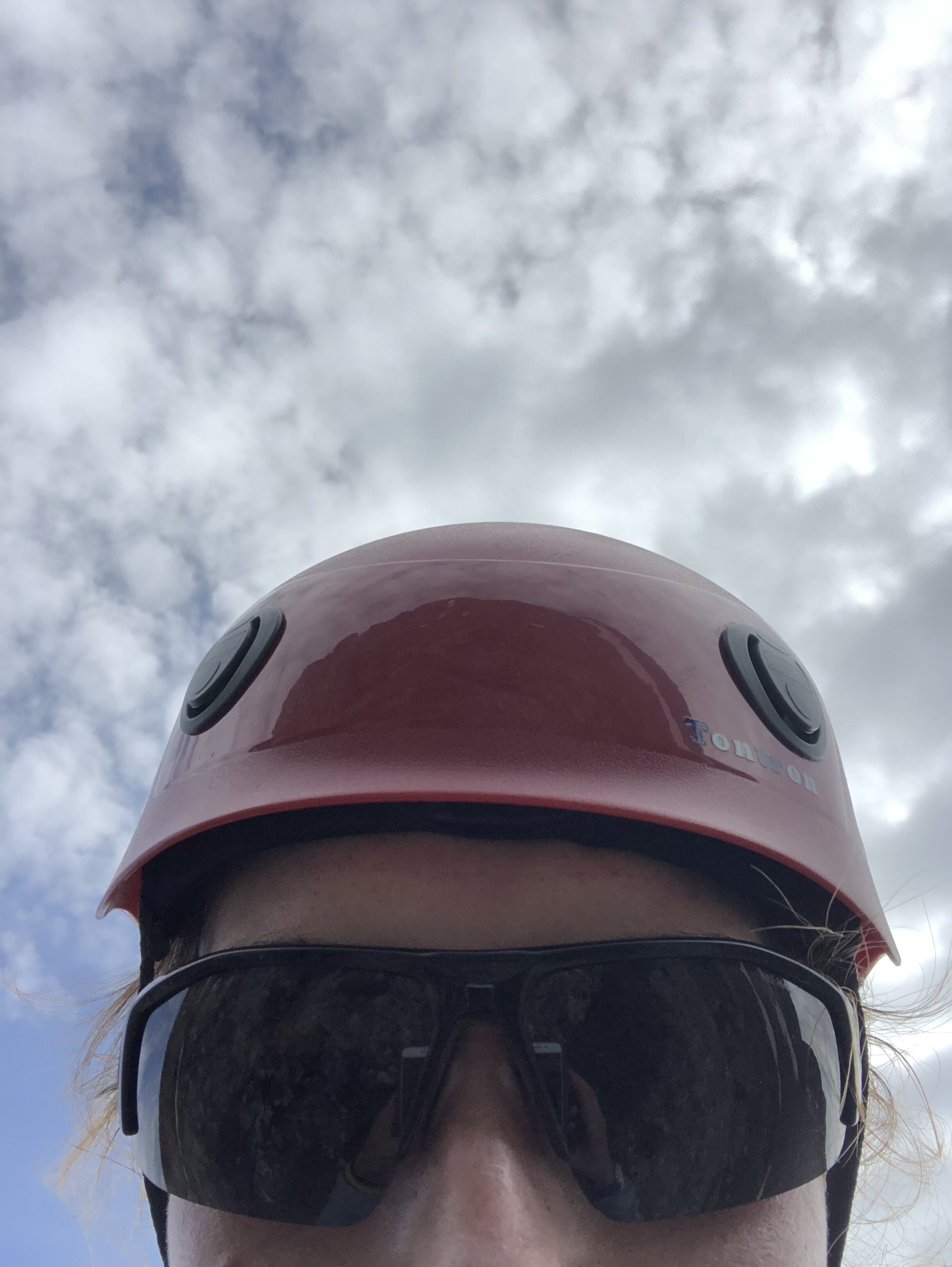
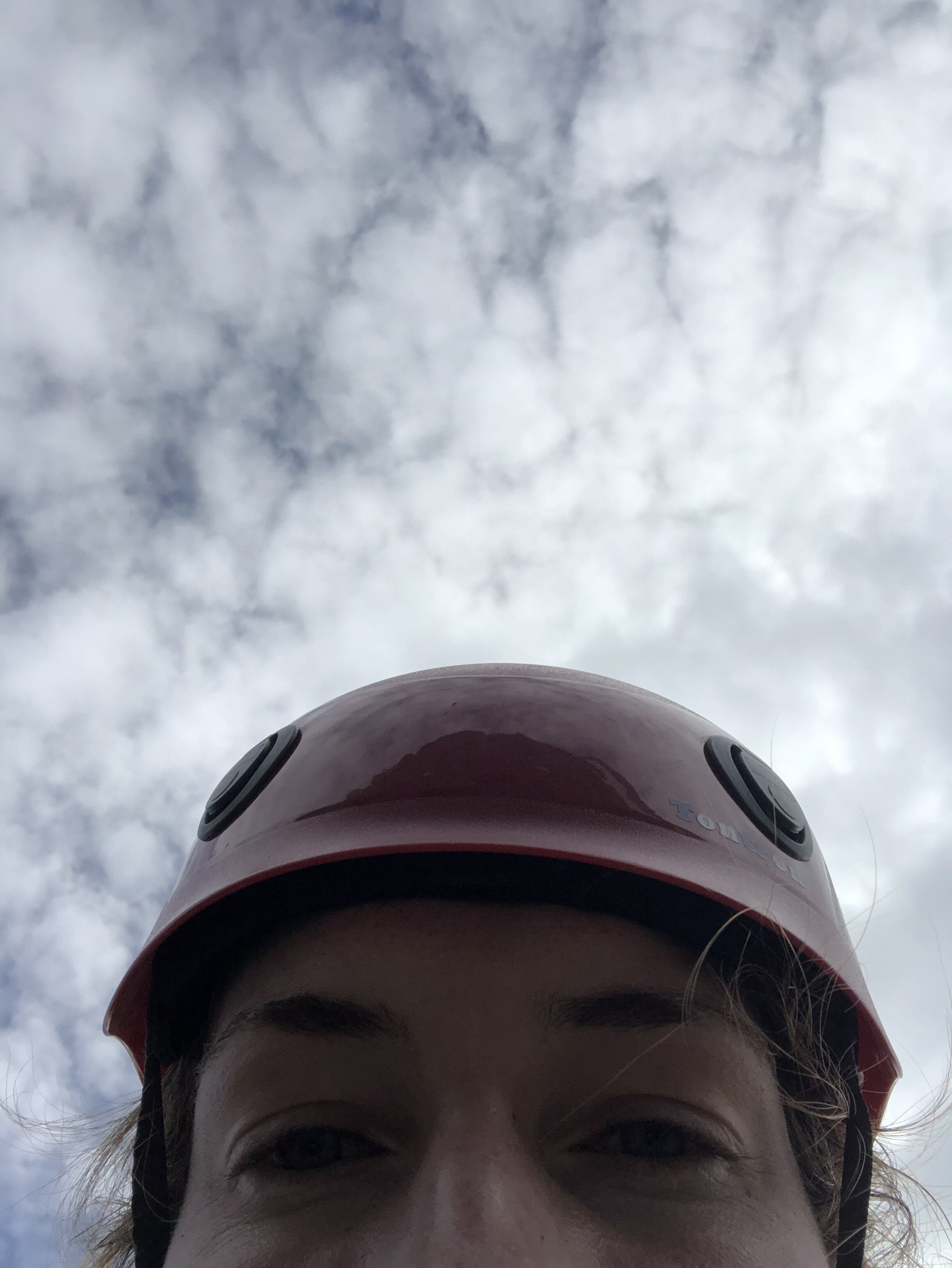
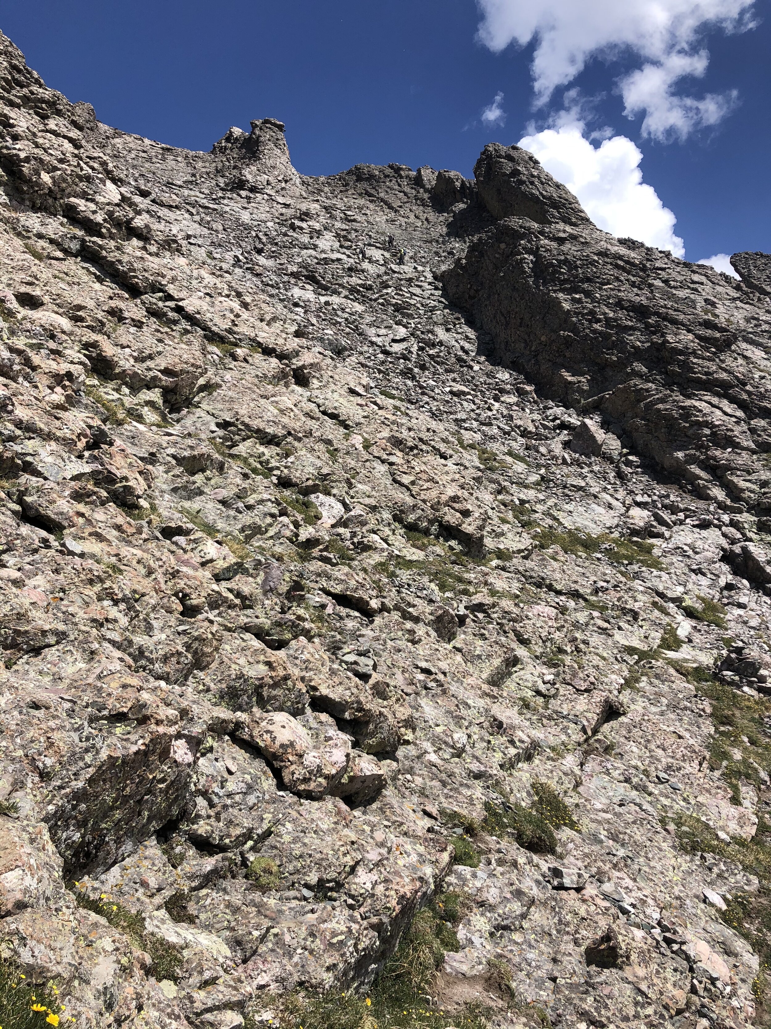
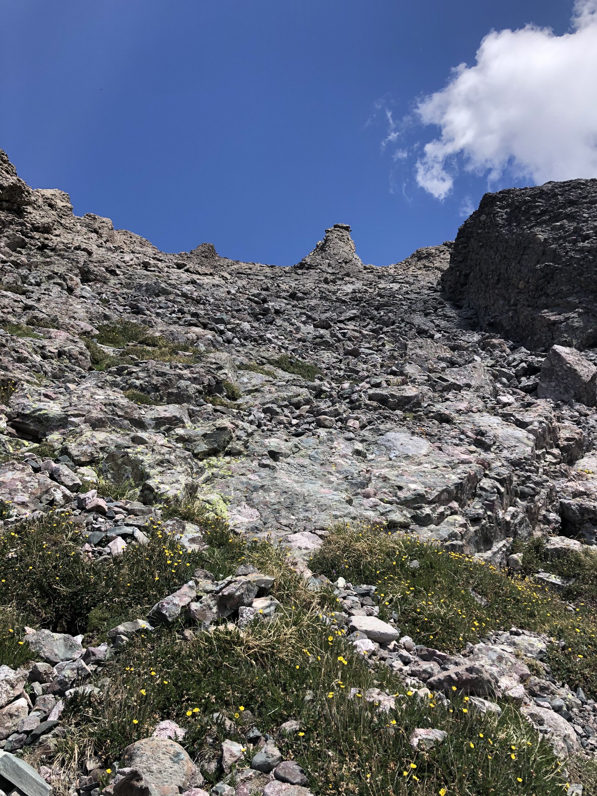
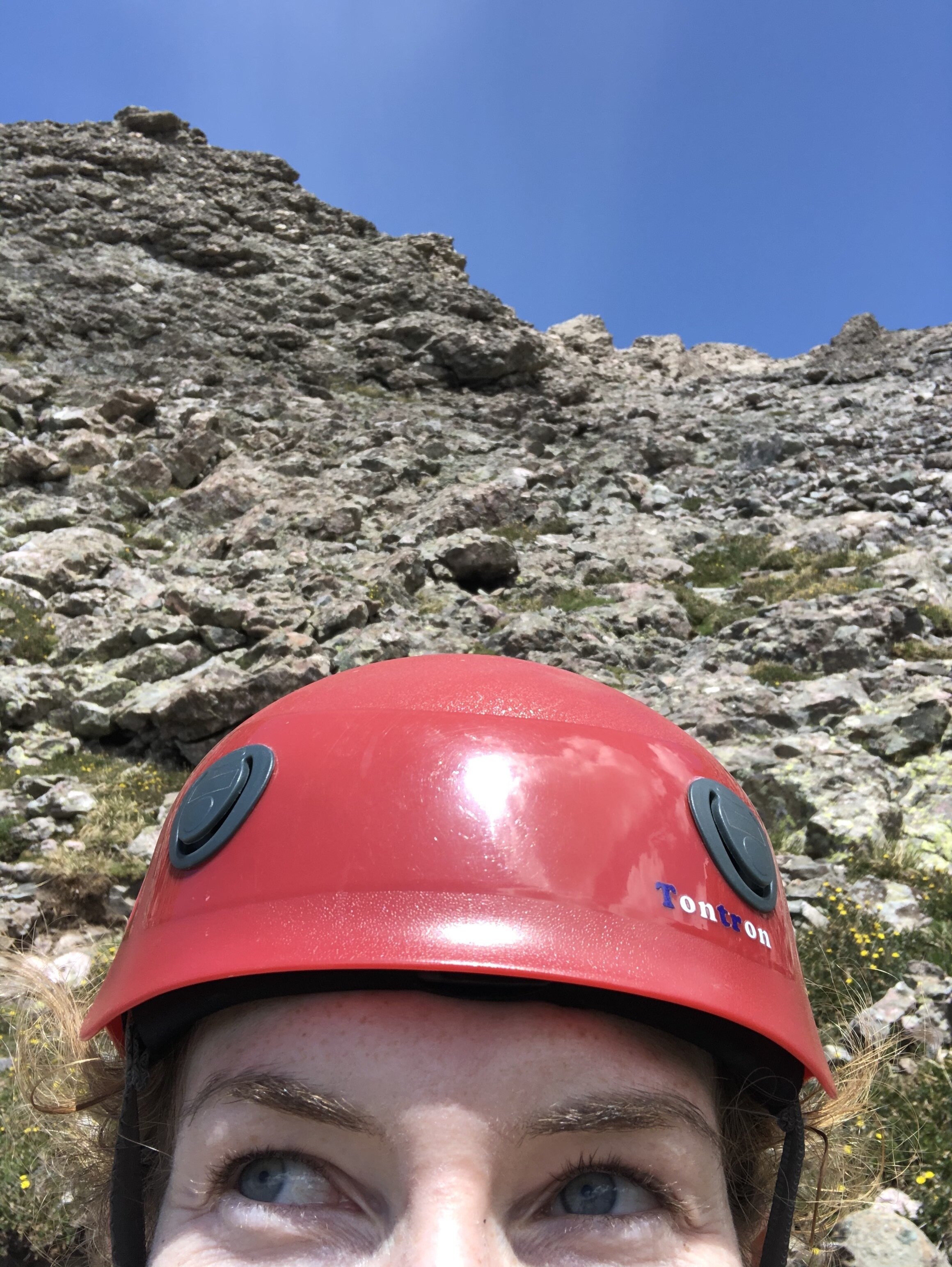
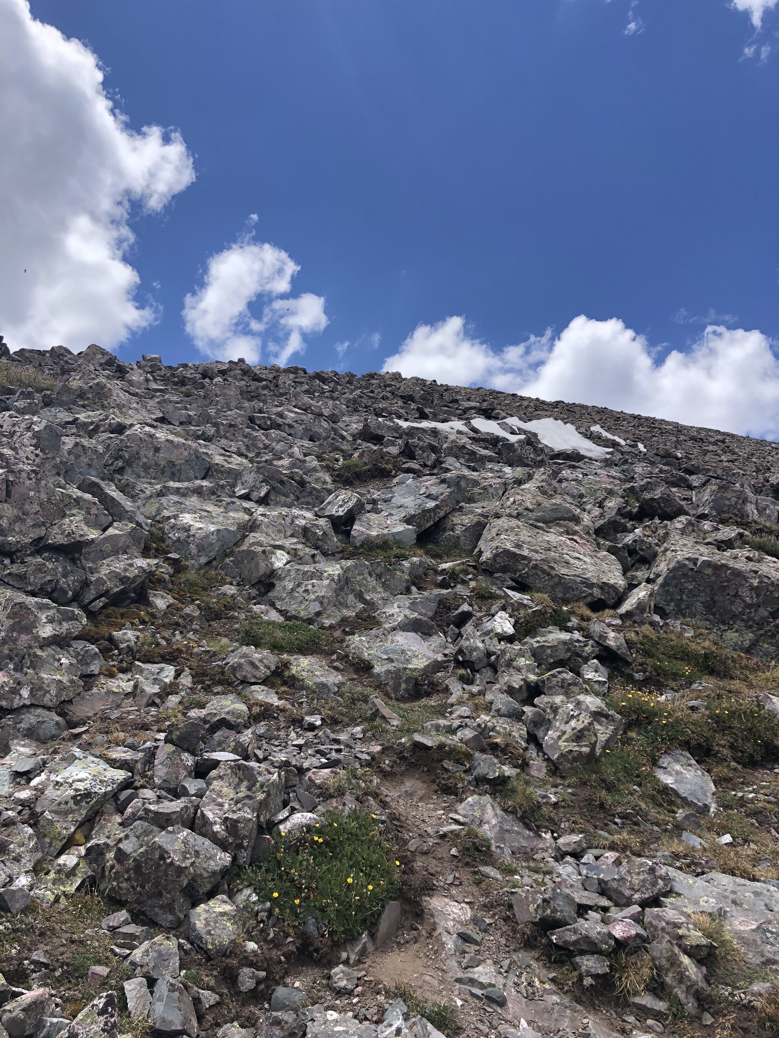
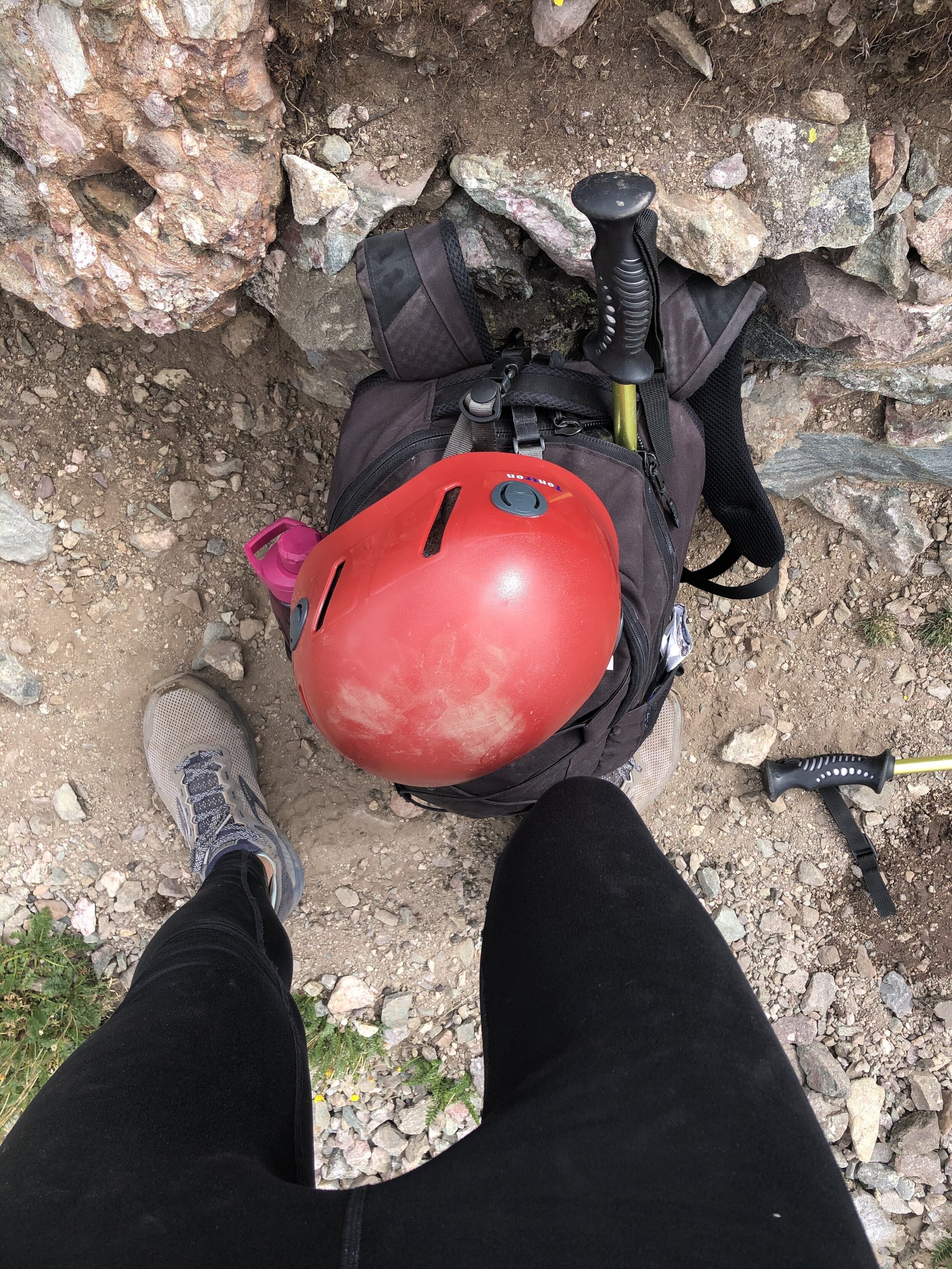
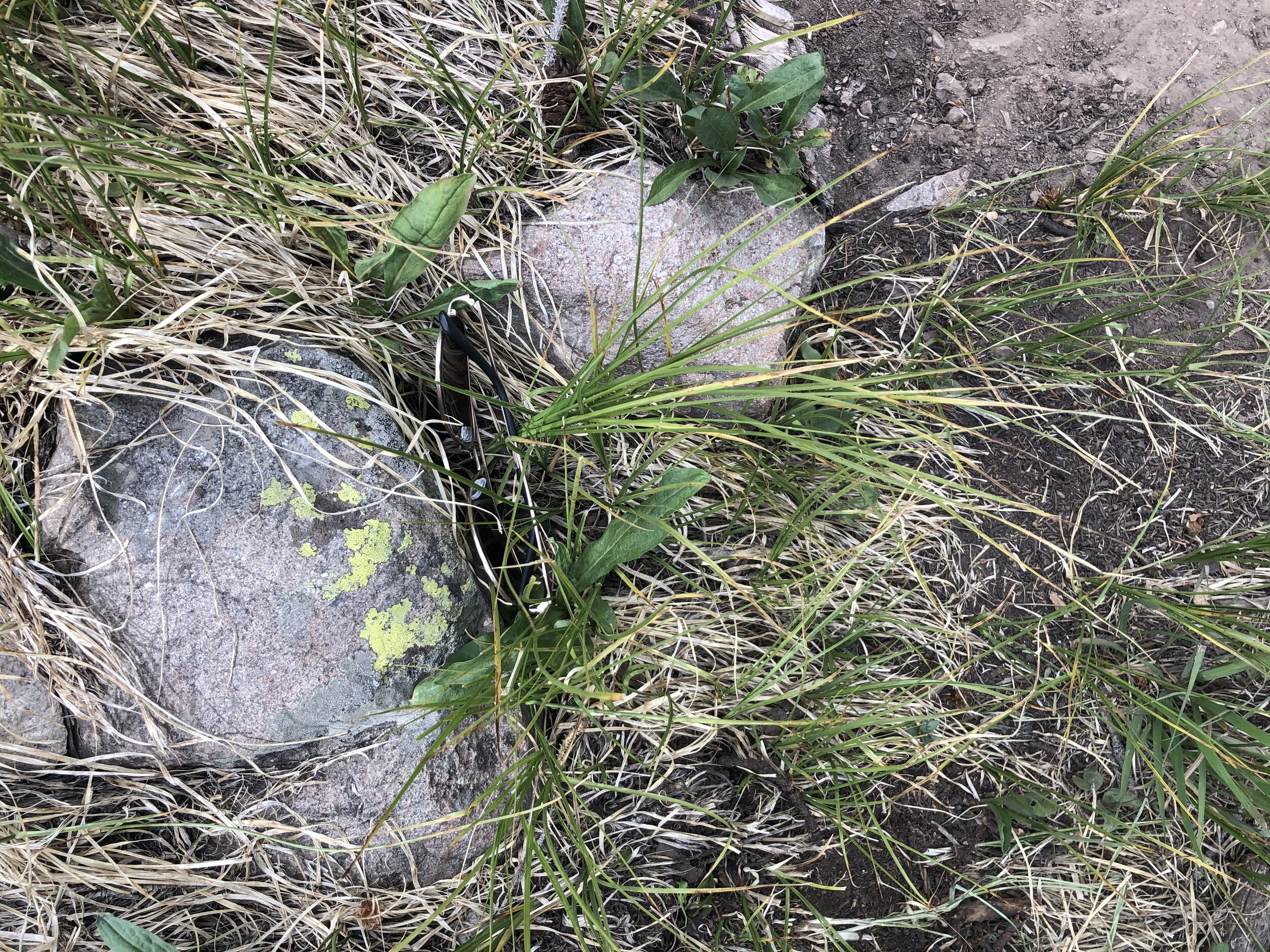
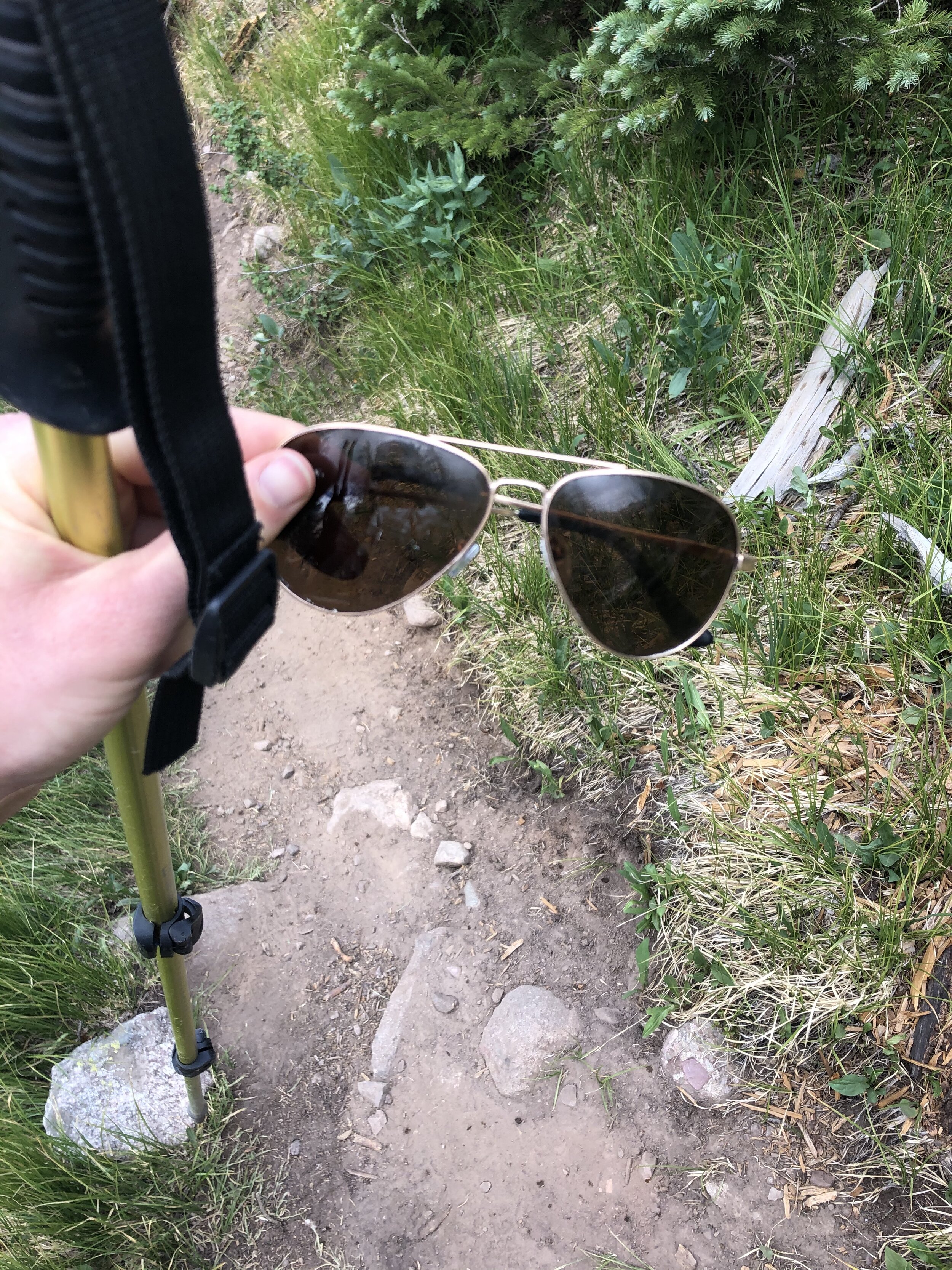
This next part was just steep…Around 13,200’, I put on my helmet. These dudes a couple hundred feet above me/to the left kicked a few large rocks down and, yeah, safety first. Side note….I dropped my aviators somewhere around Willow Lake (but there is a happy ending, don’t worry). I have these UGLY AF Nike sunglasses as a backup pair which I am so thankful for today. I only like Aviators, so this was saddd :(. Selfie w/o the sunglasses vs. selfie w/ the sunglasses?? Which is better, let me know.
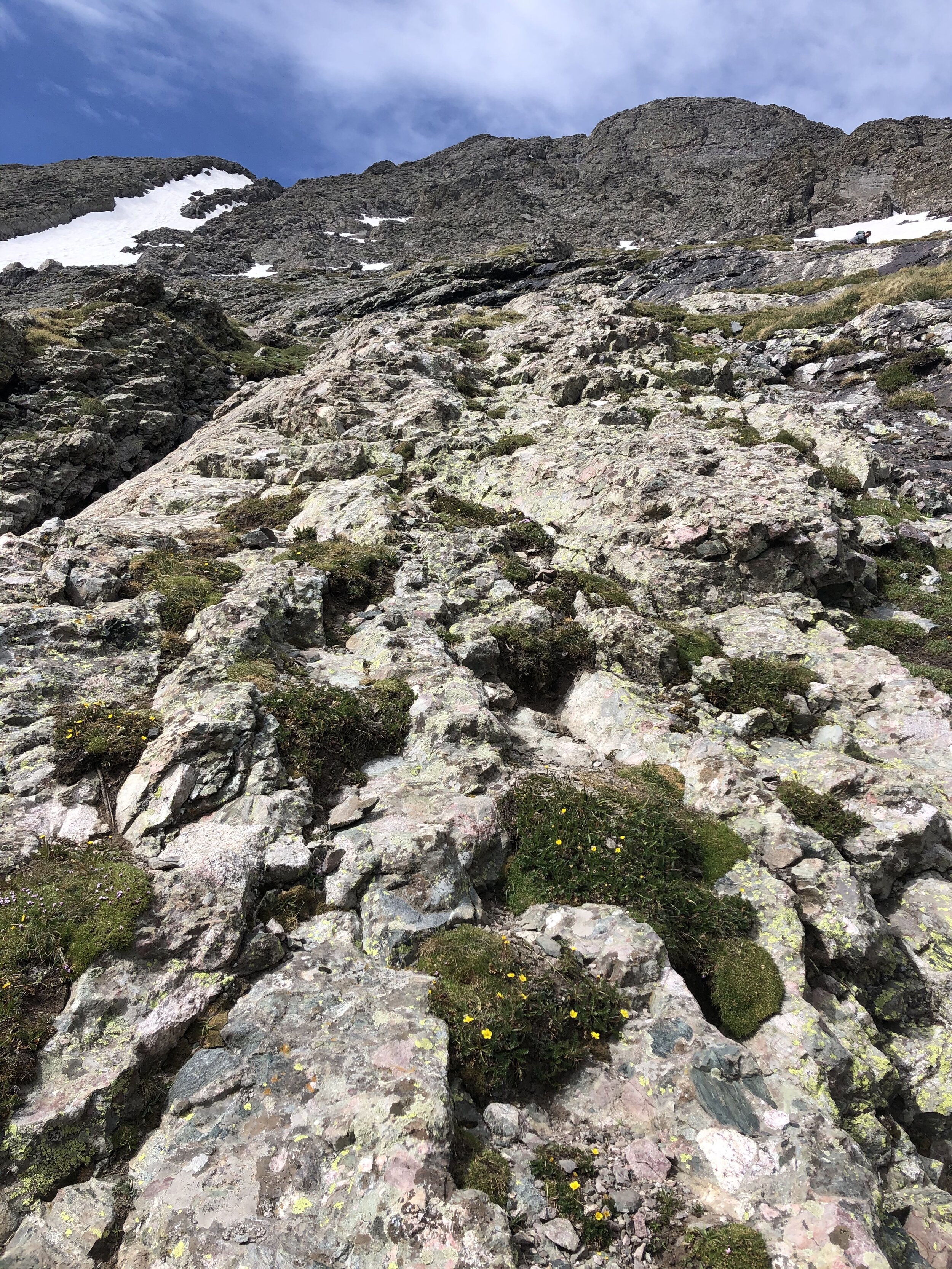
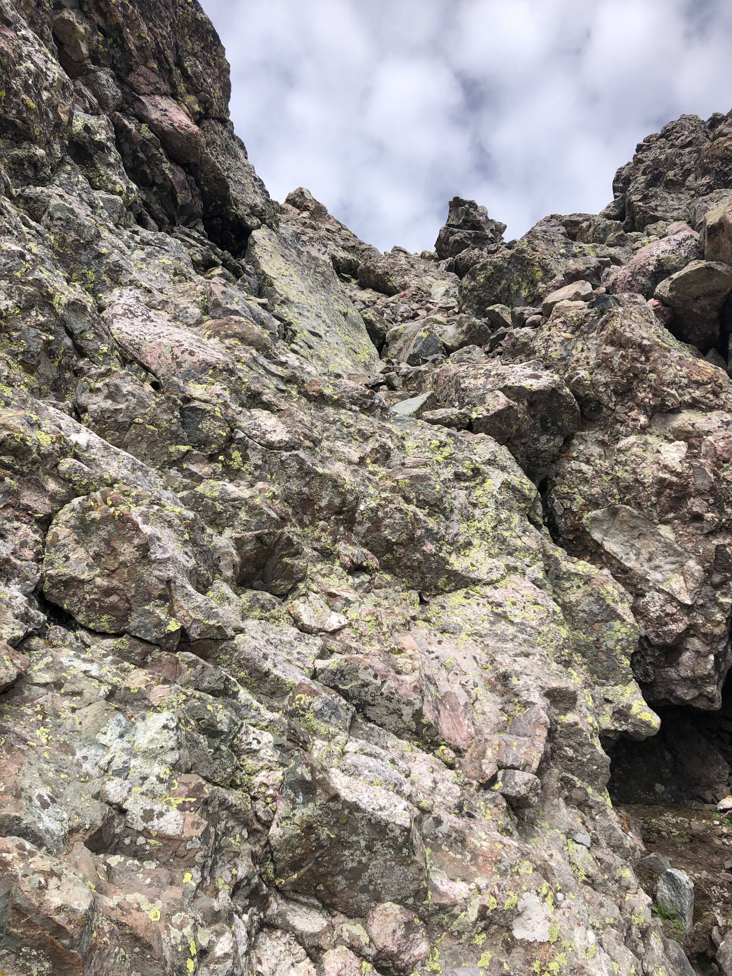
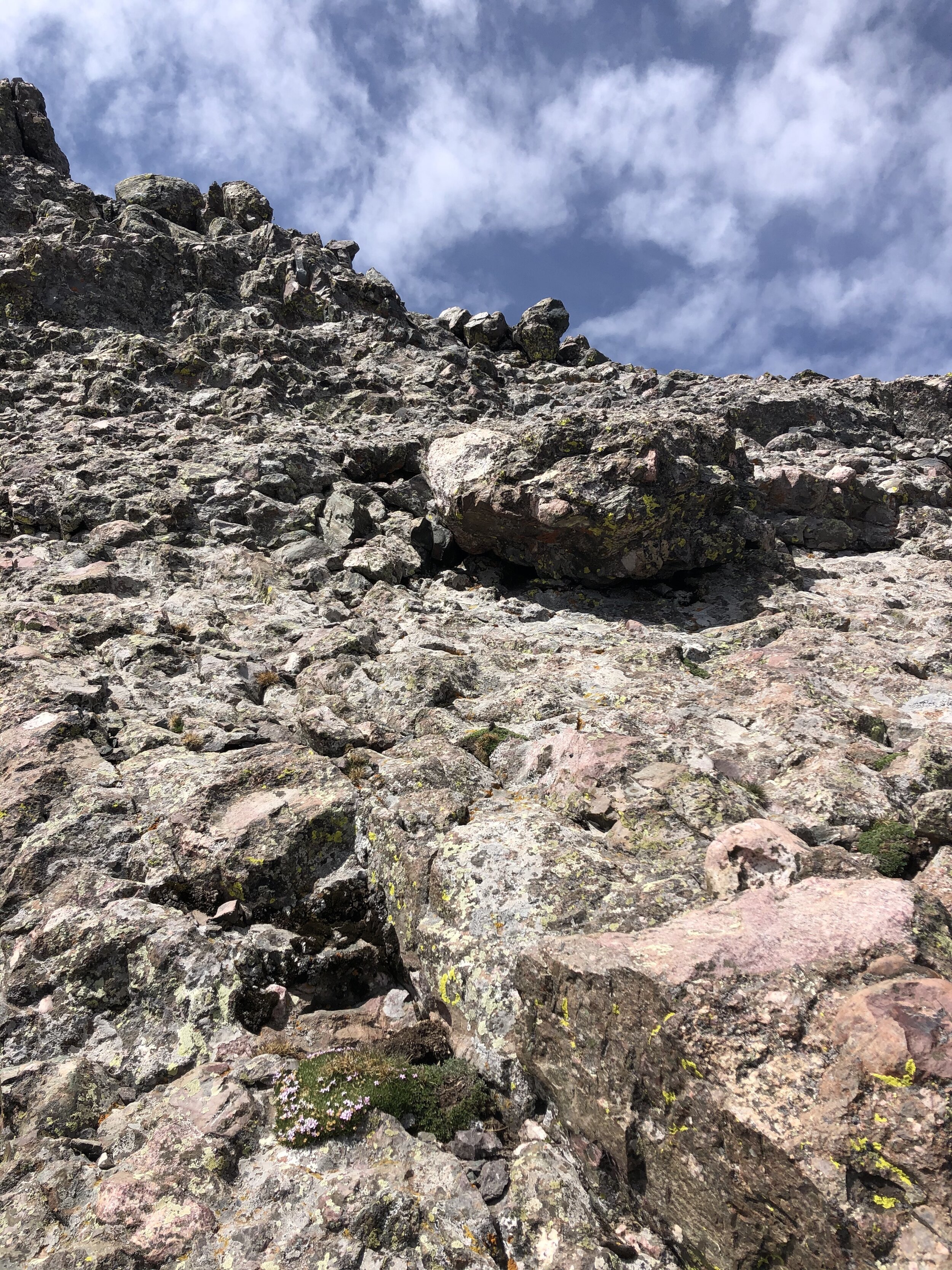
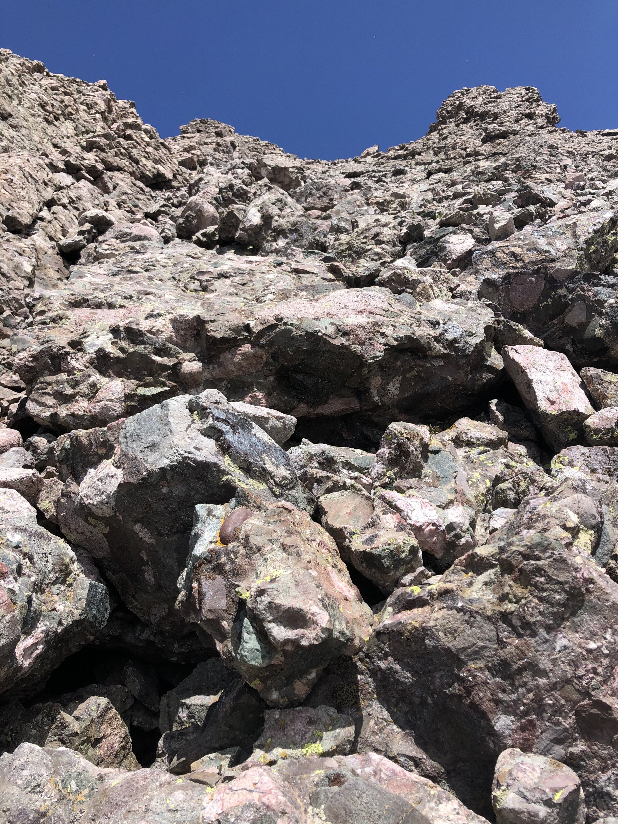
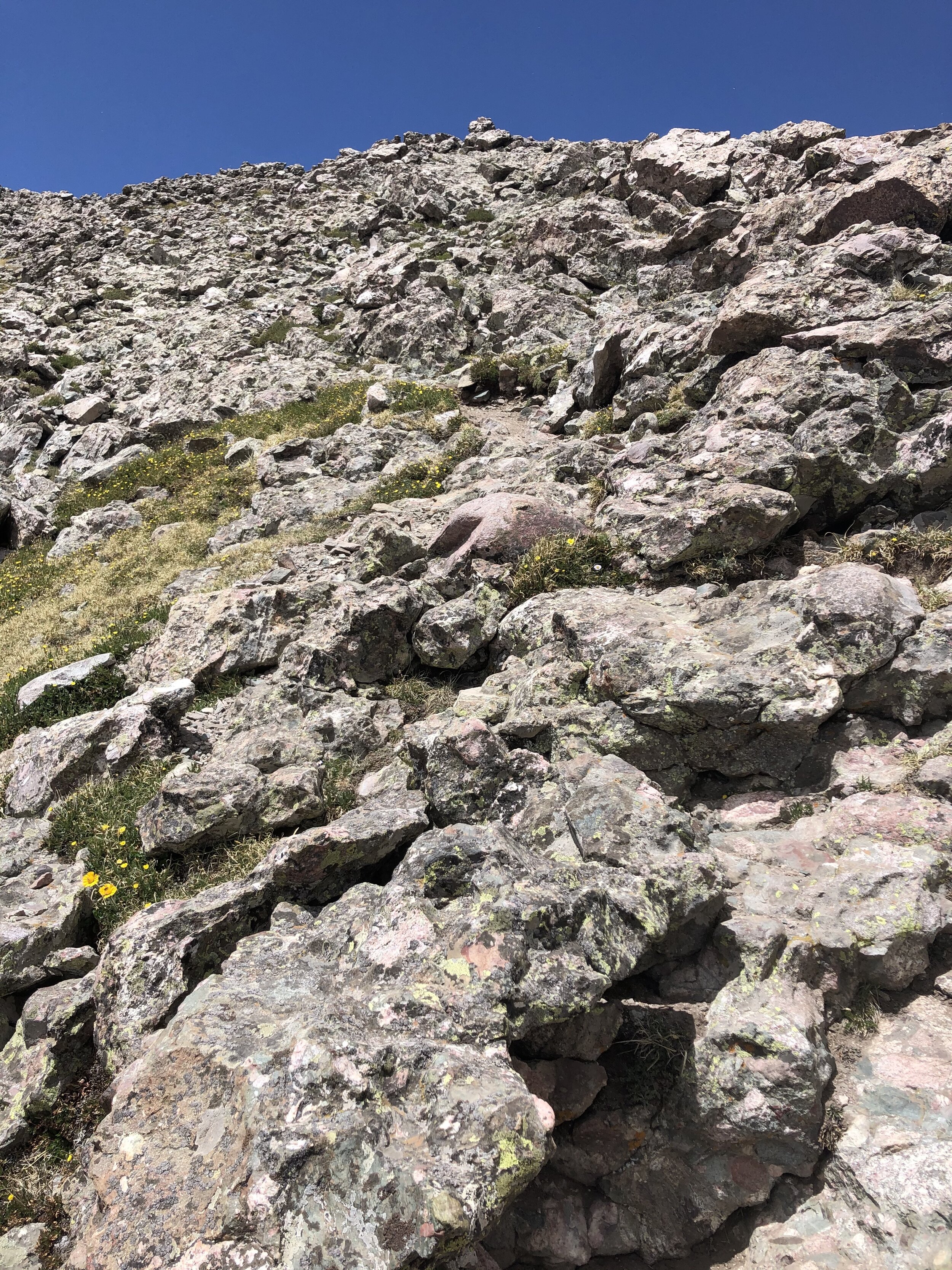
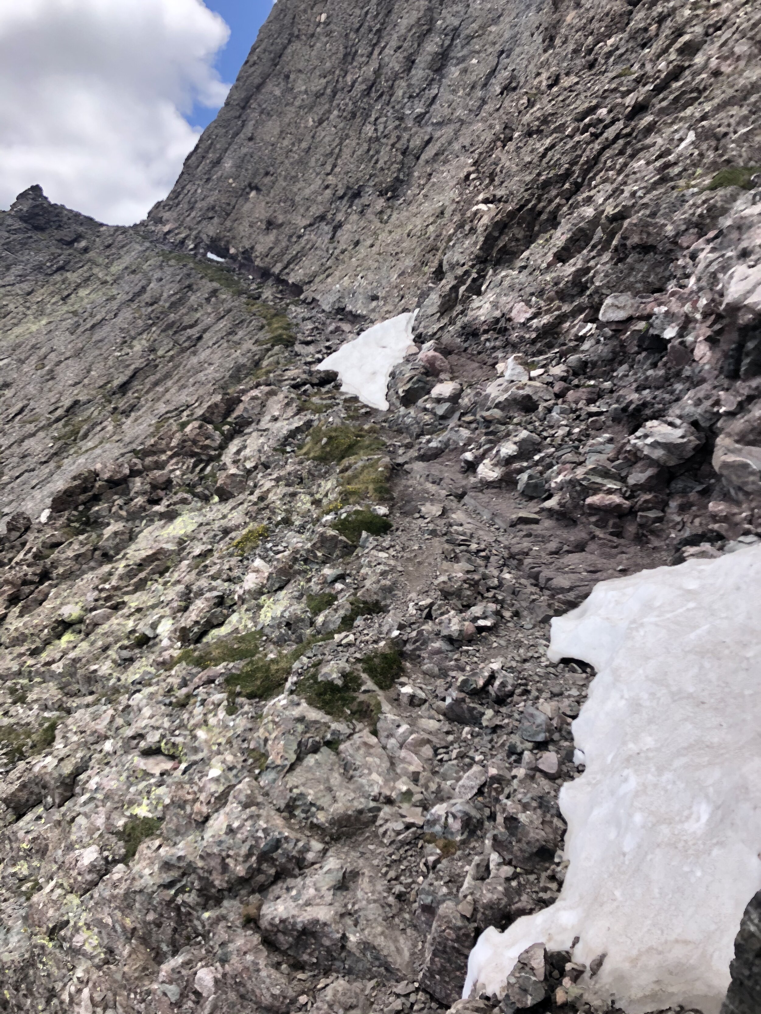
Around 13,500’ and until 13,800’ is about where I went off route. I am not sure how I got off route, but I saw a cairn and followed it. I knew I was off route because I was definitely doing class 3 stuff. I wasted probably 30-45 minutes being off route, but it was a good learning lesson. I stopped for awhile figuring out the best course of action but saw some random trail segments (hardly any, but enough to know it was kind of a path) and thankfully it eventually led me back to the trail around 13,850’. This was the main instance of type 2 fun…I was already solo hiking and I got off route… I was so relieved when I finally was on the main trail again.
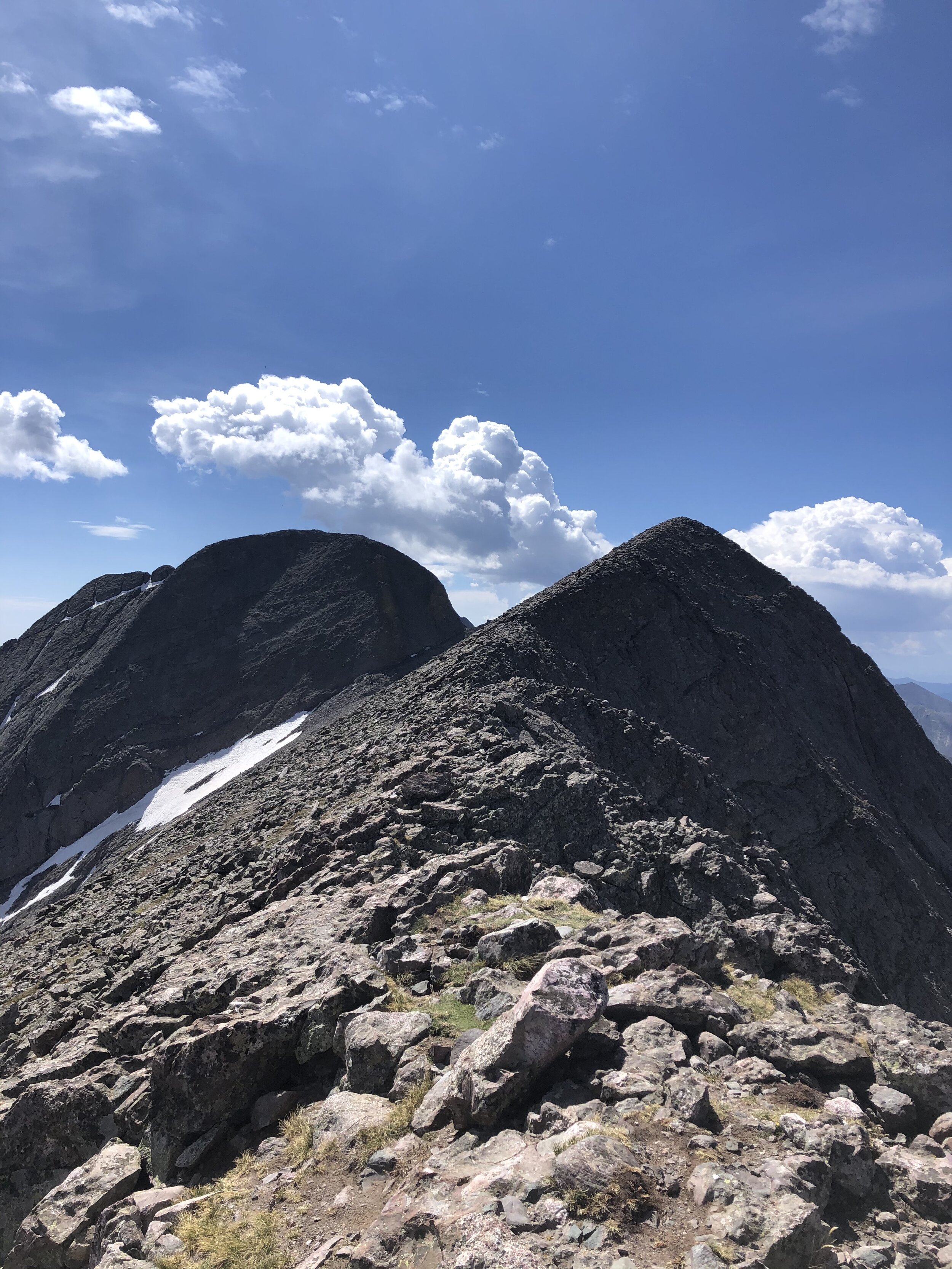
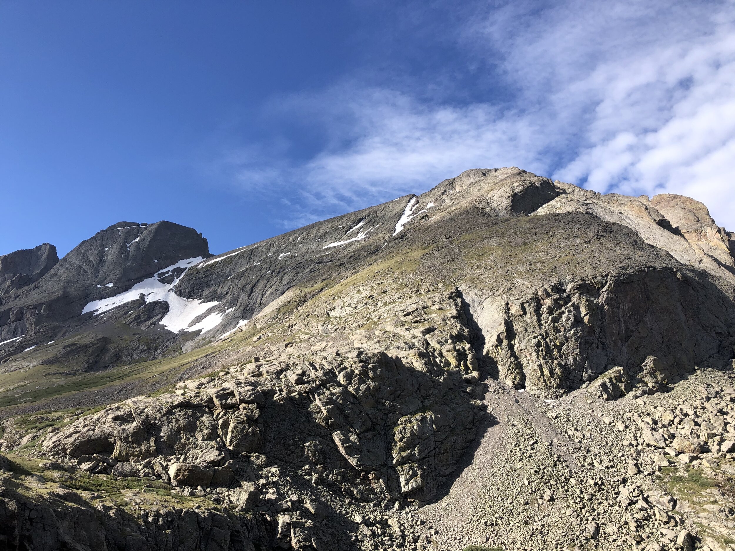
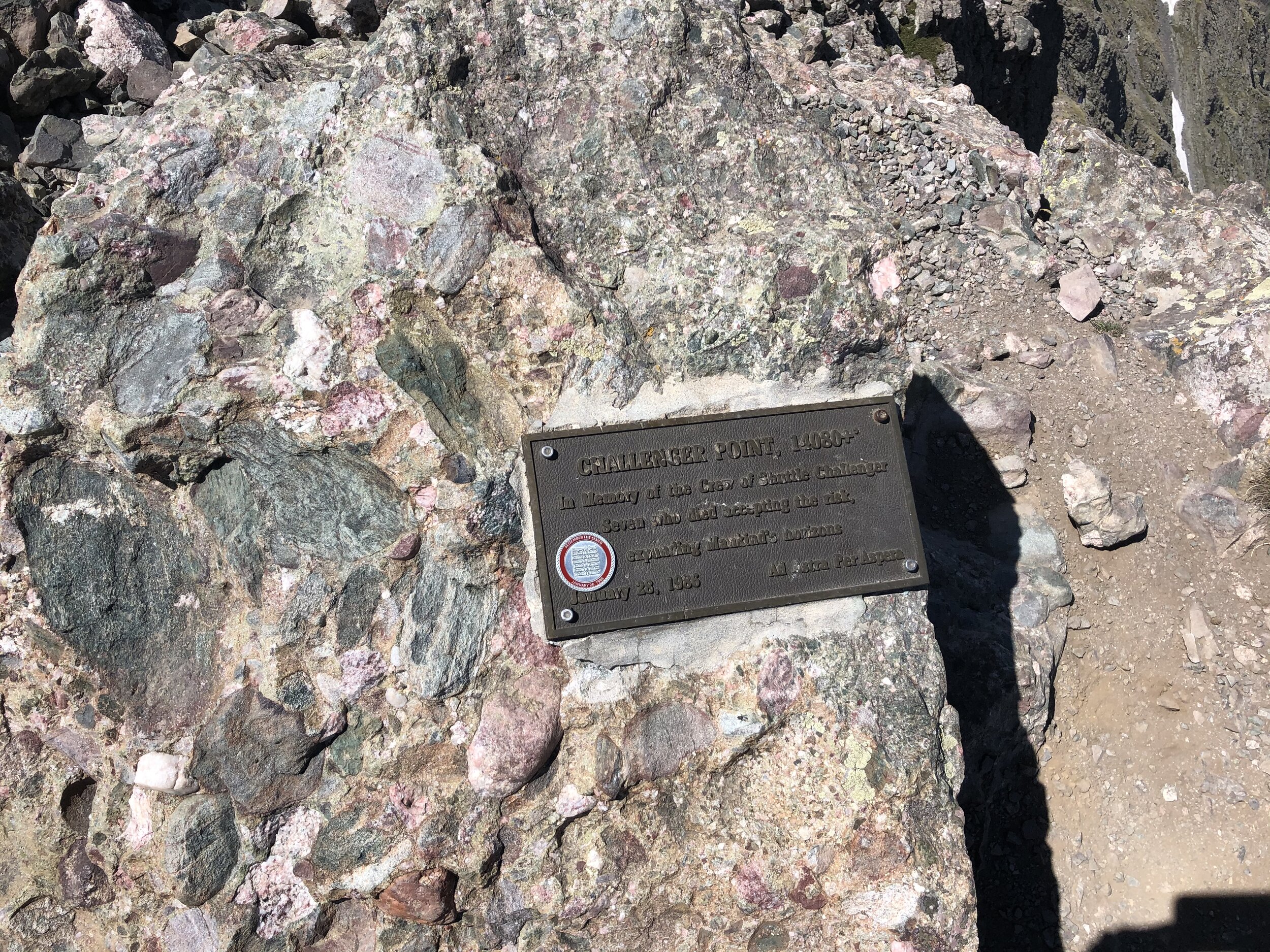
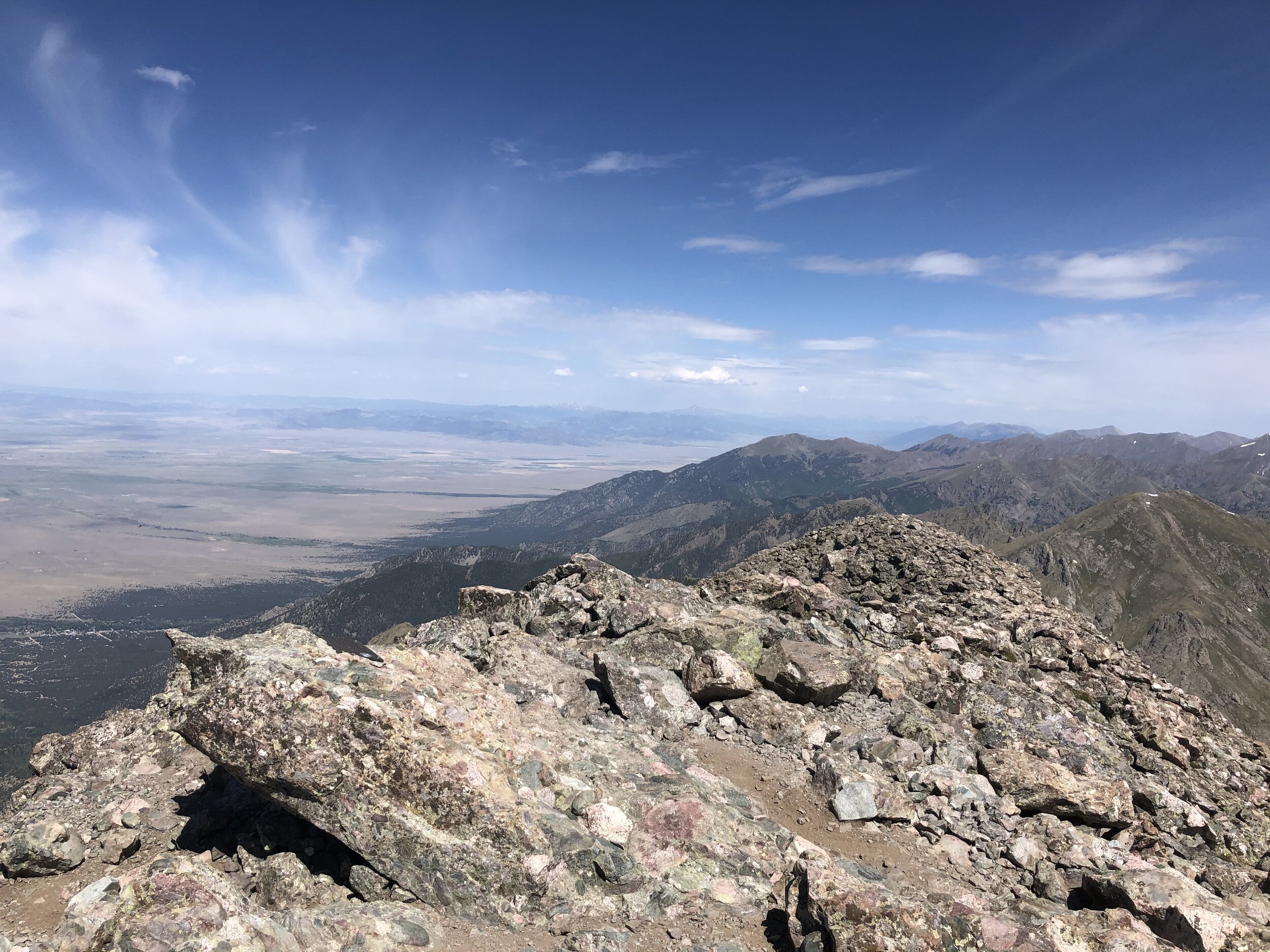
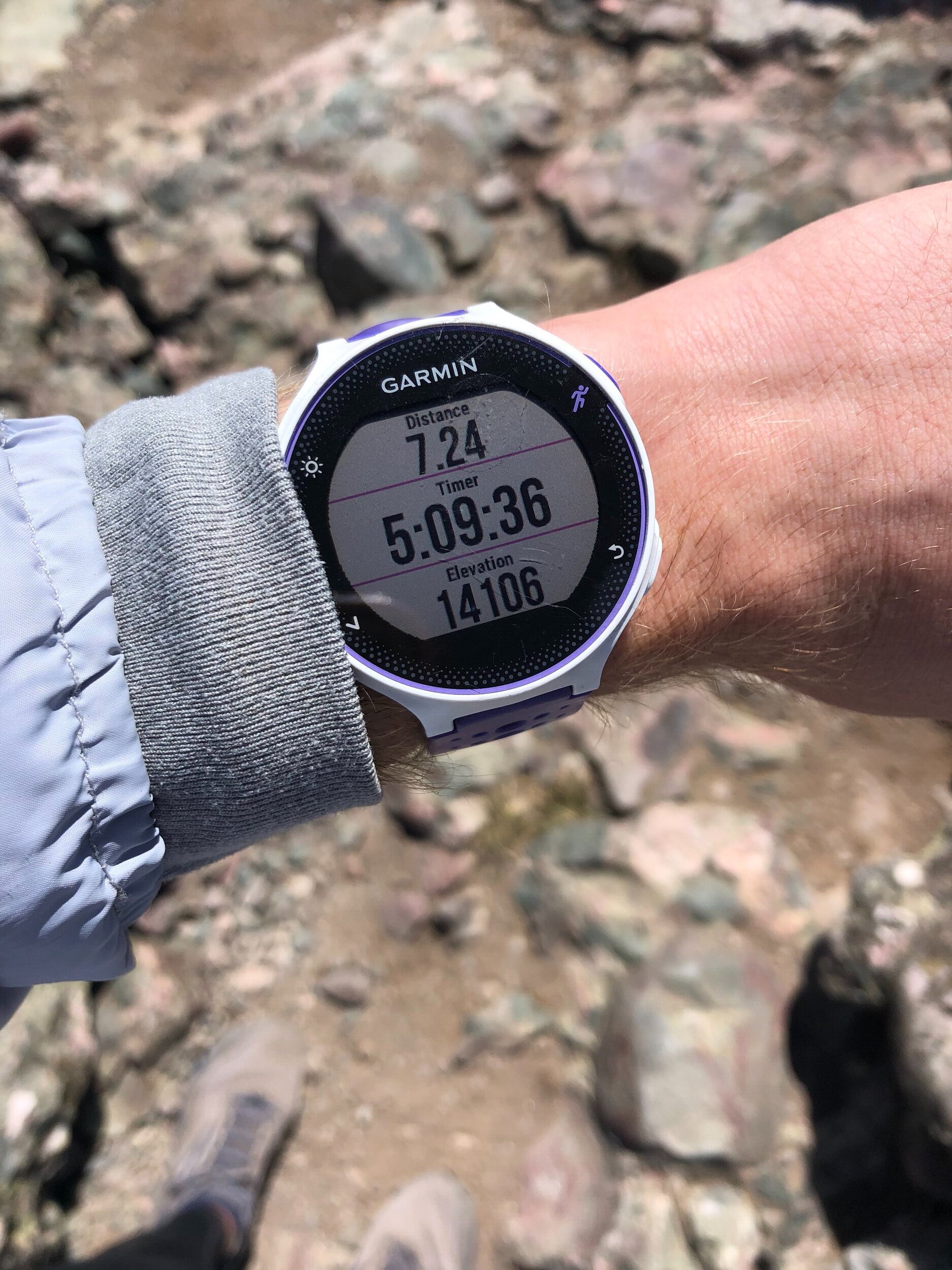
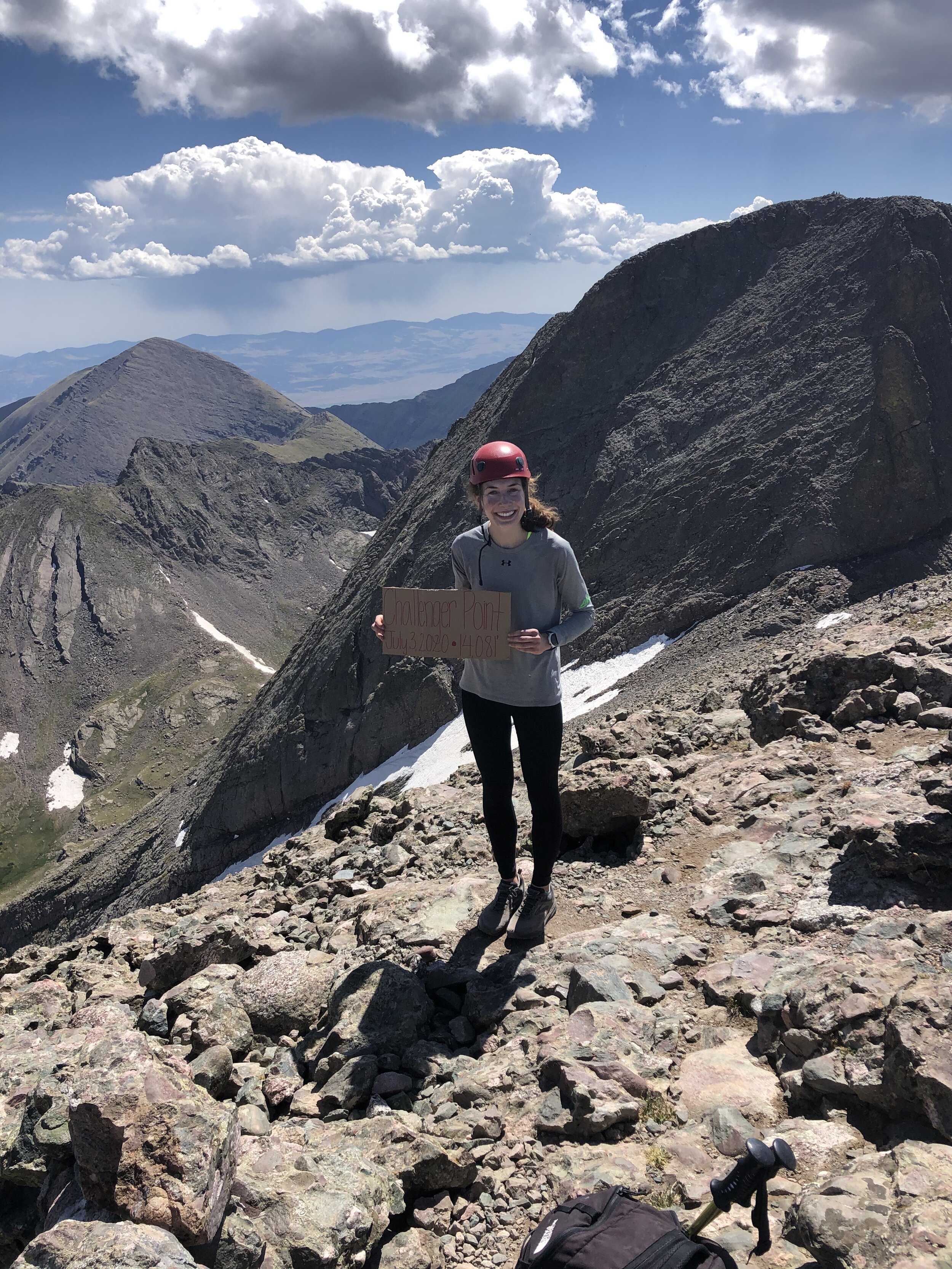
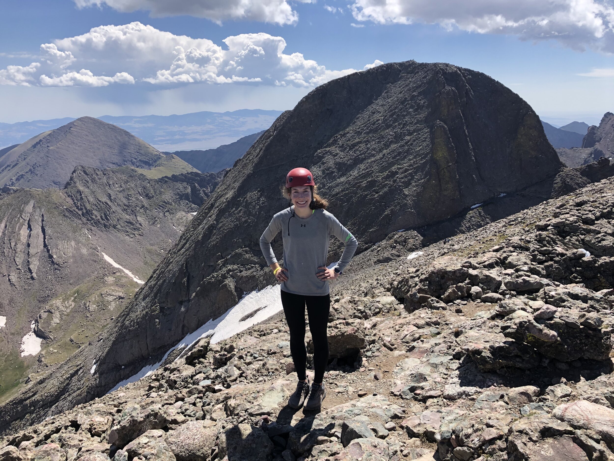
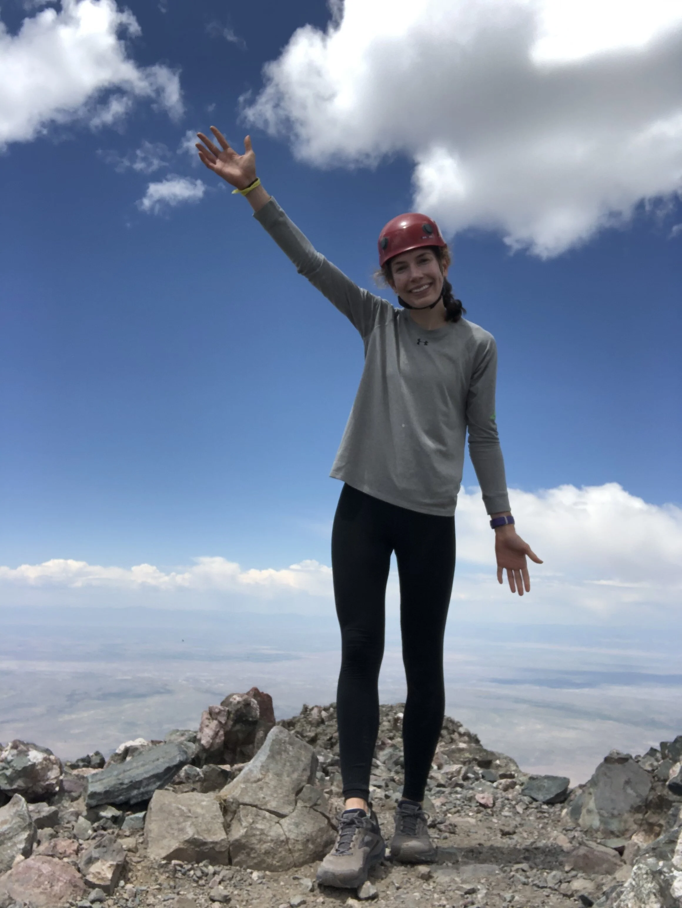
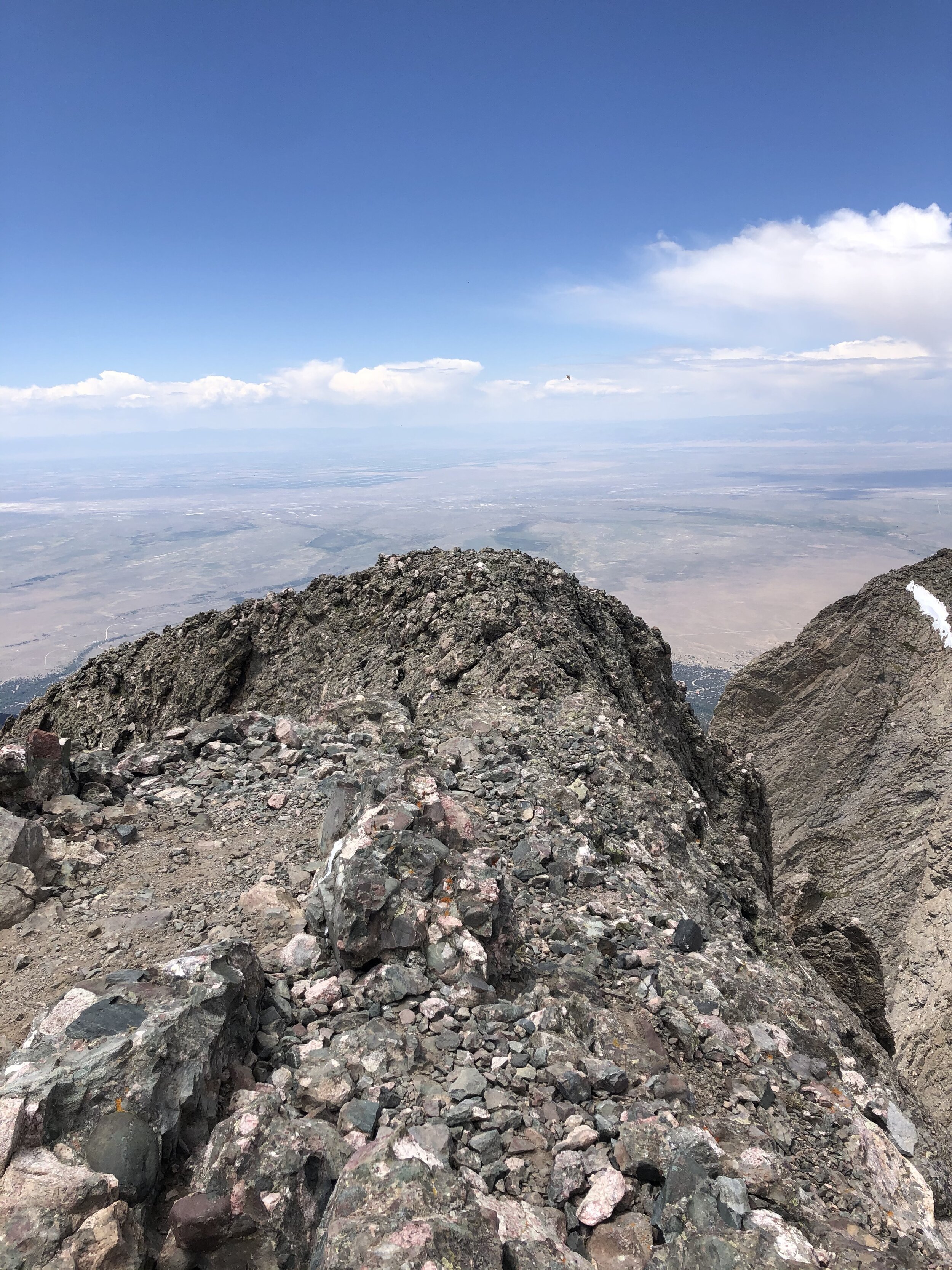
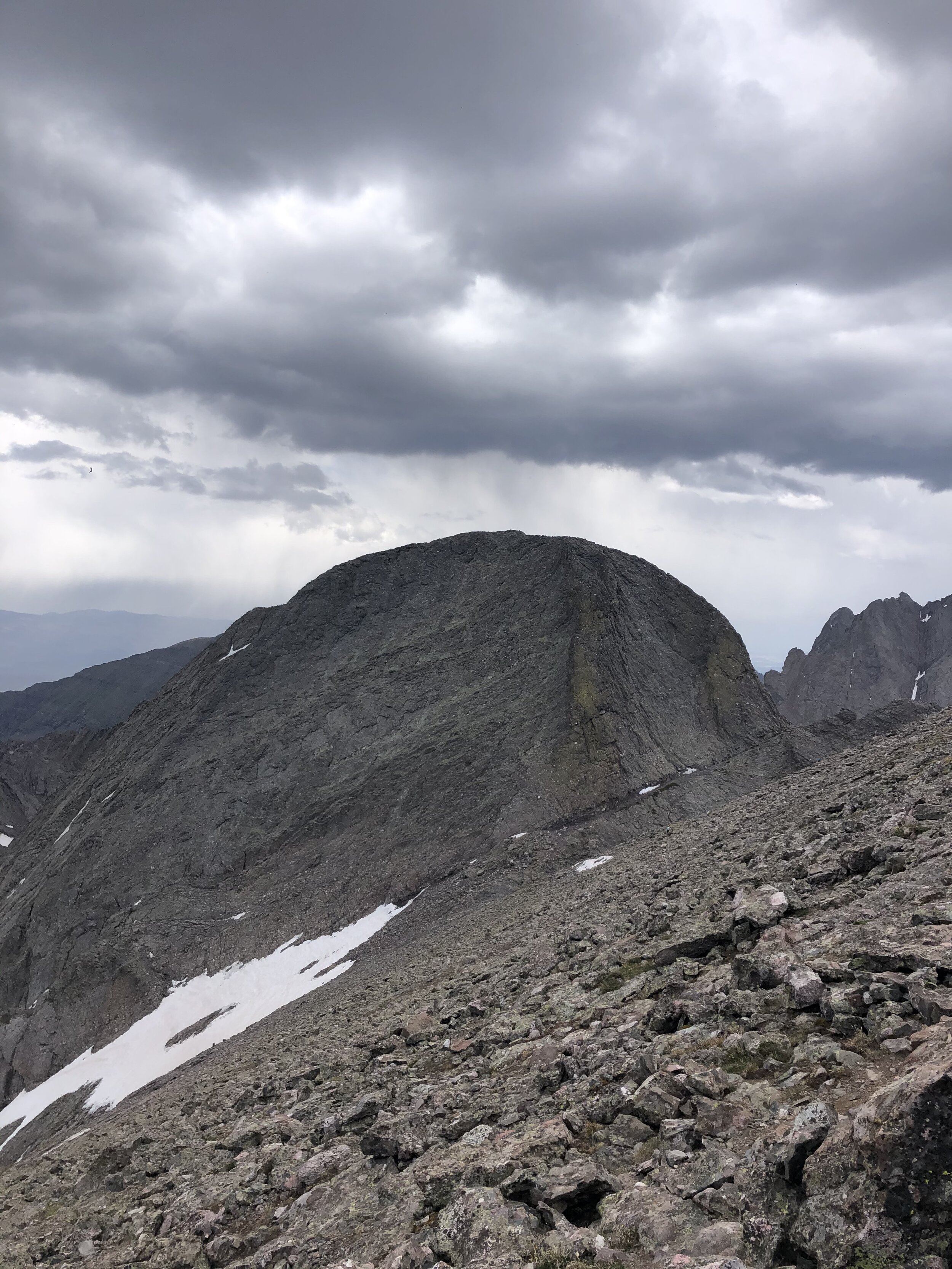
5 hours and 9 minutes later, I reached the summit of Challenger Point! I was only up there for 9 minutes because I wanted to go ahead and get to KC before I took a longer break! I got some guy coming back from KC to take some pictures of me and I must say, these have to be some of my favorite summit shots that I have ever taken! You can see KC in the background and, in my opinion, it just looks amazing!!!
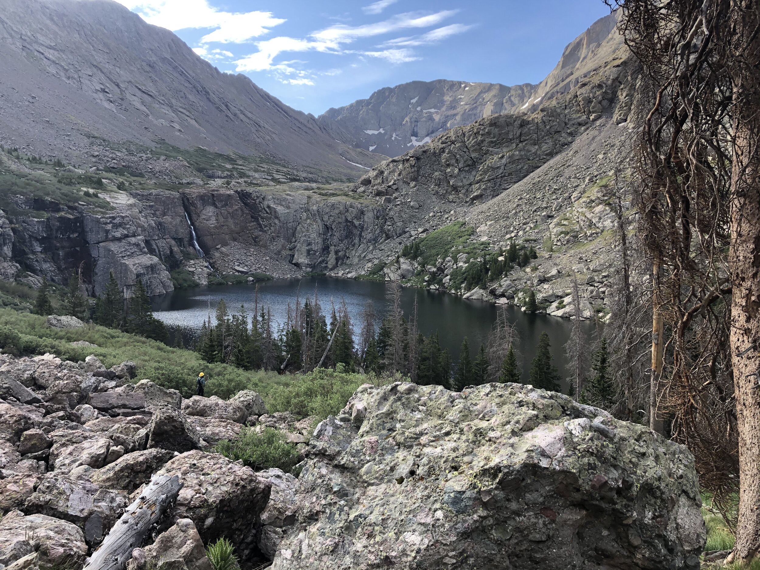
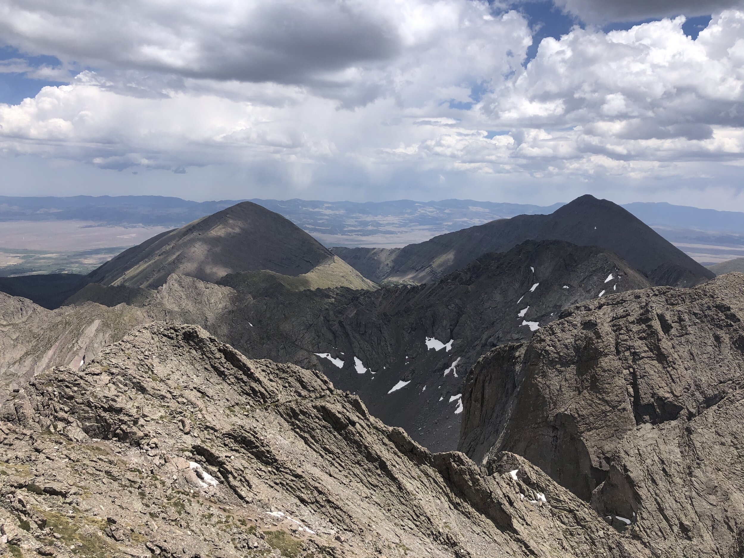
Now, I was off to get Kit Carson! I descended a couple hundred feet to around 13,800’ to get on a saddle between the two peaks. I then got on Kit Carson Avenue, where I ascended around 100 ft and then descended around 300 ft. I did not have to cross any snow or ice which was nice since there is quite some exposure on this part.
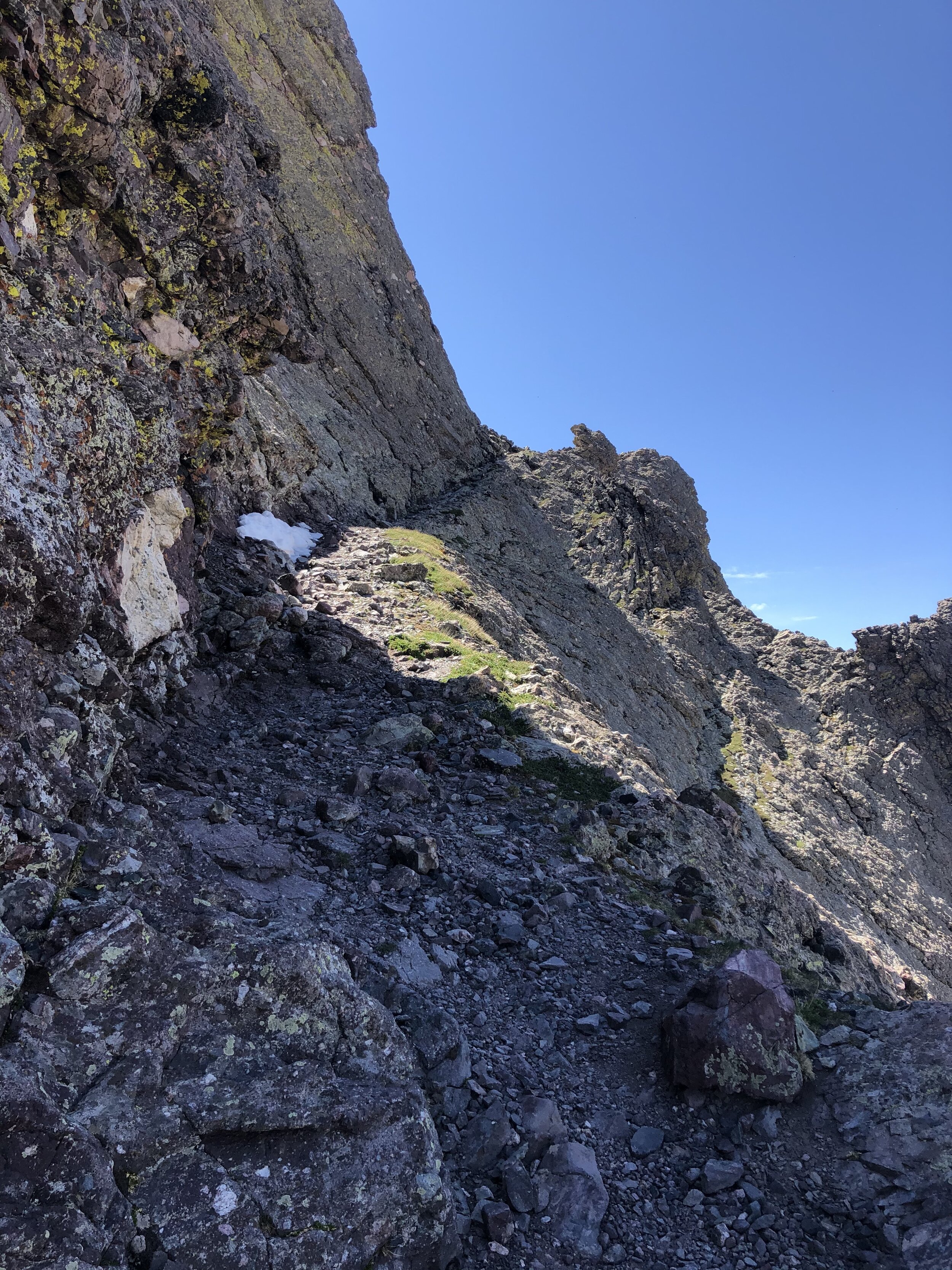

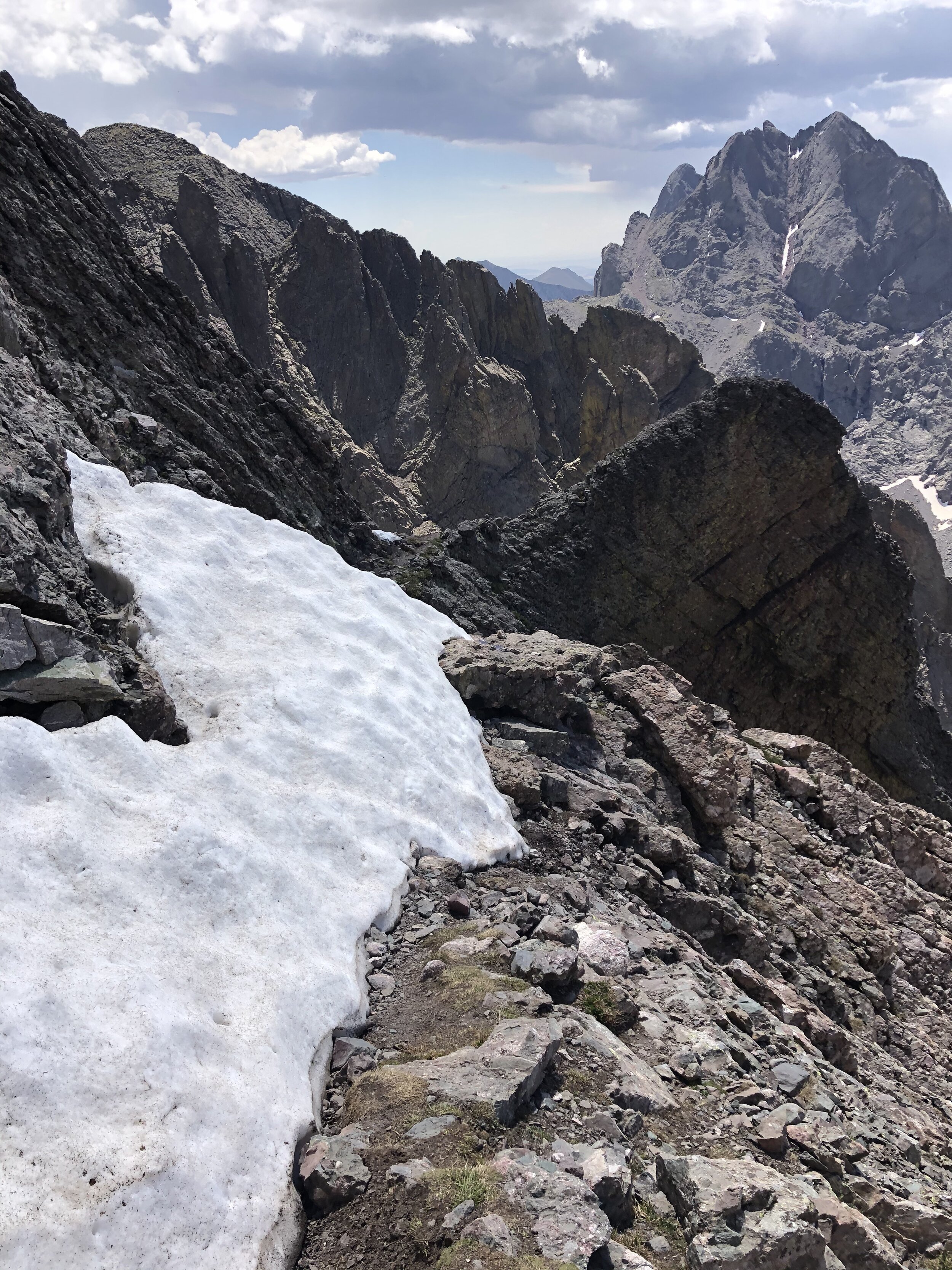
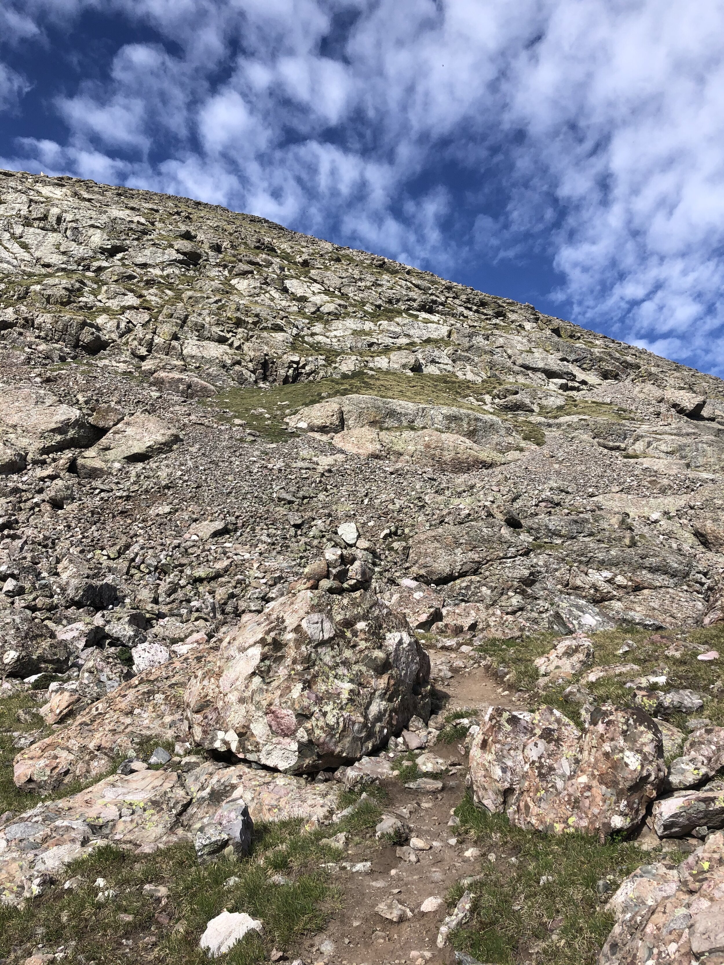
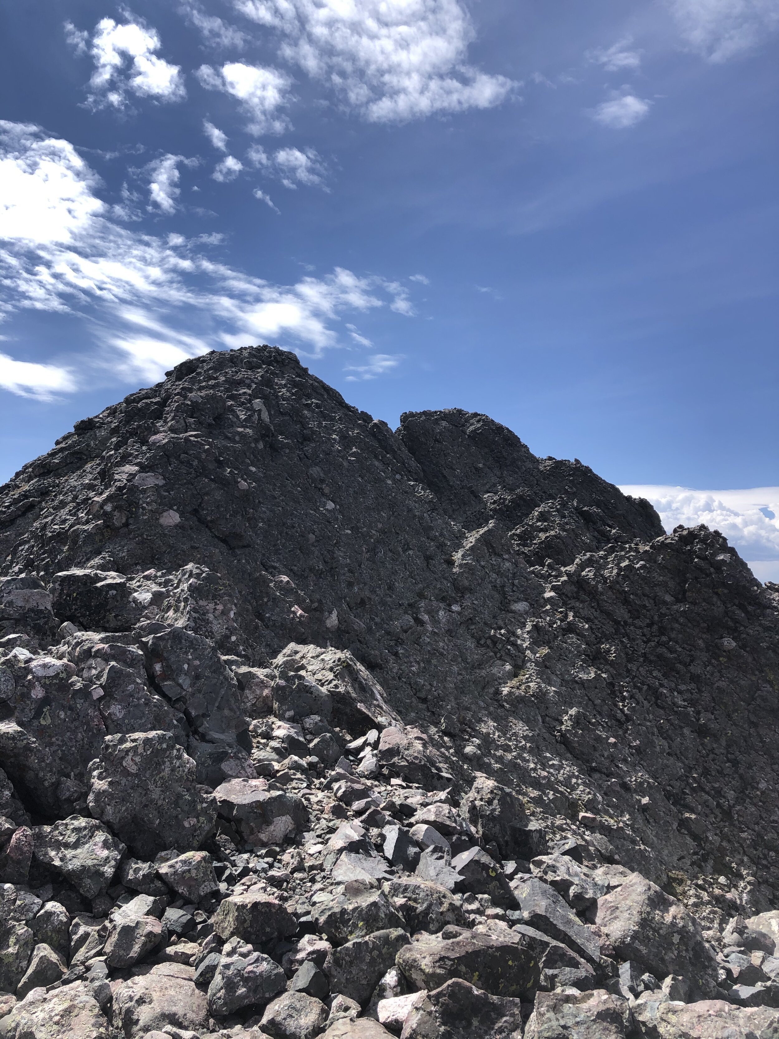
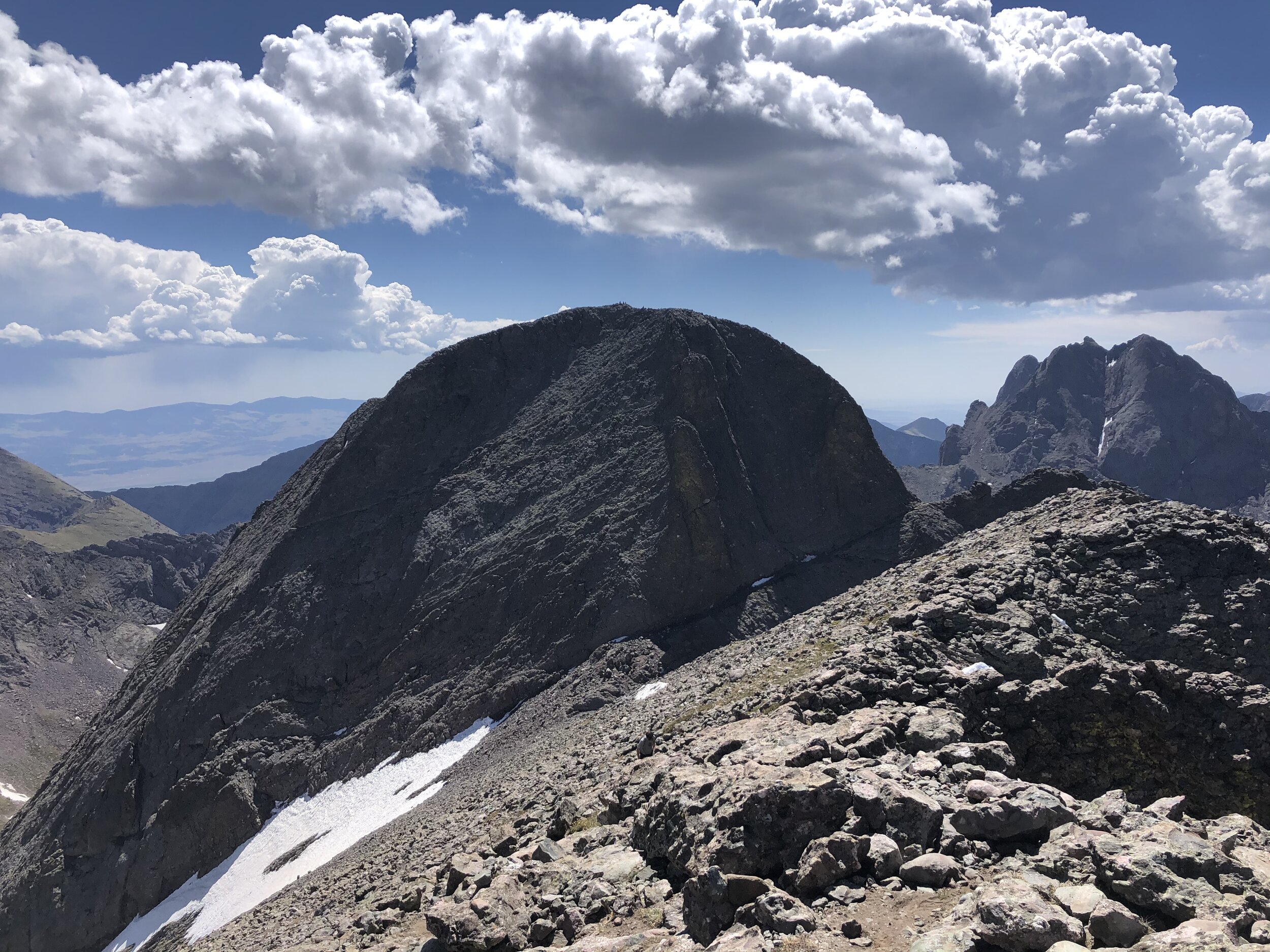
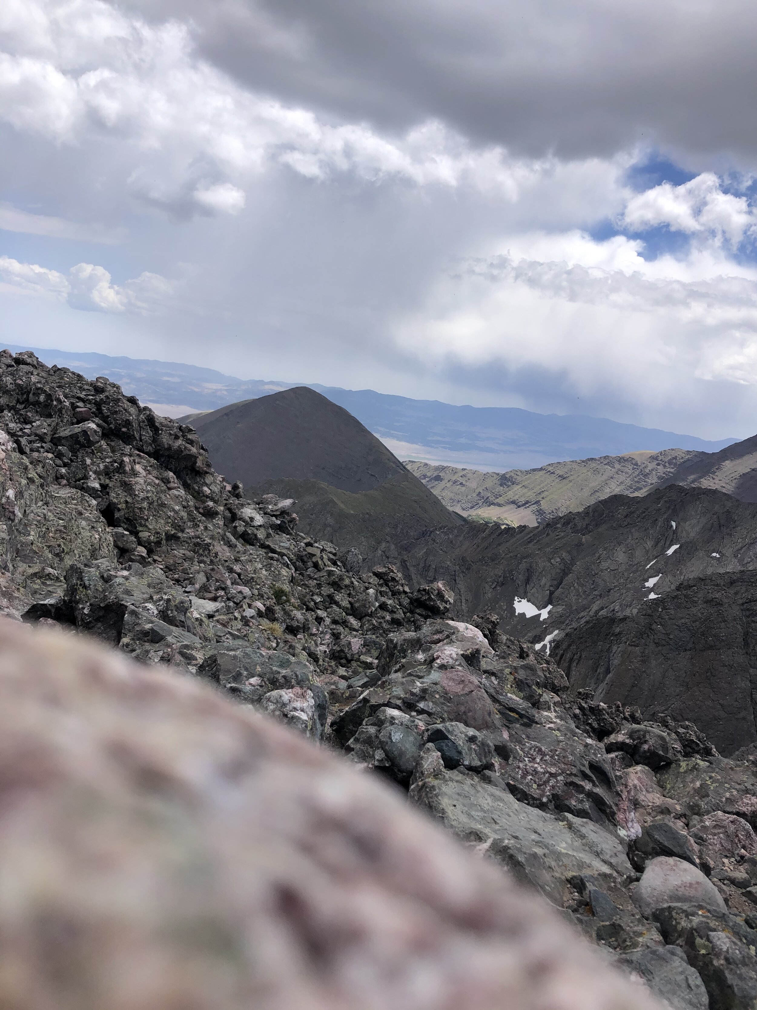
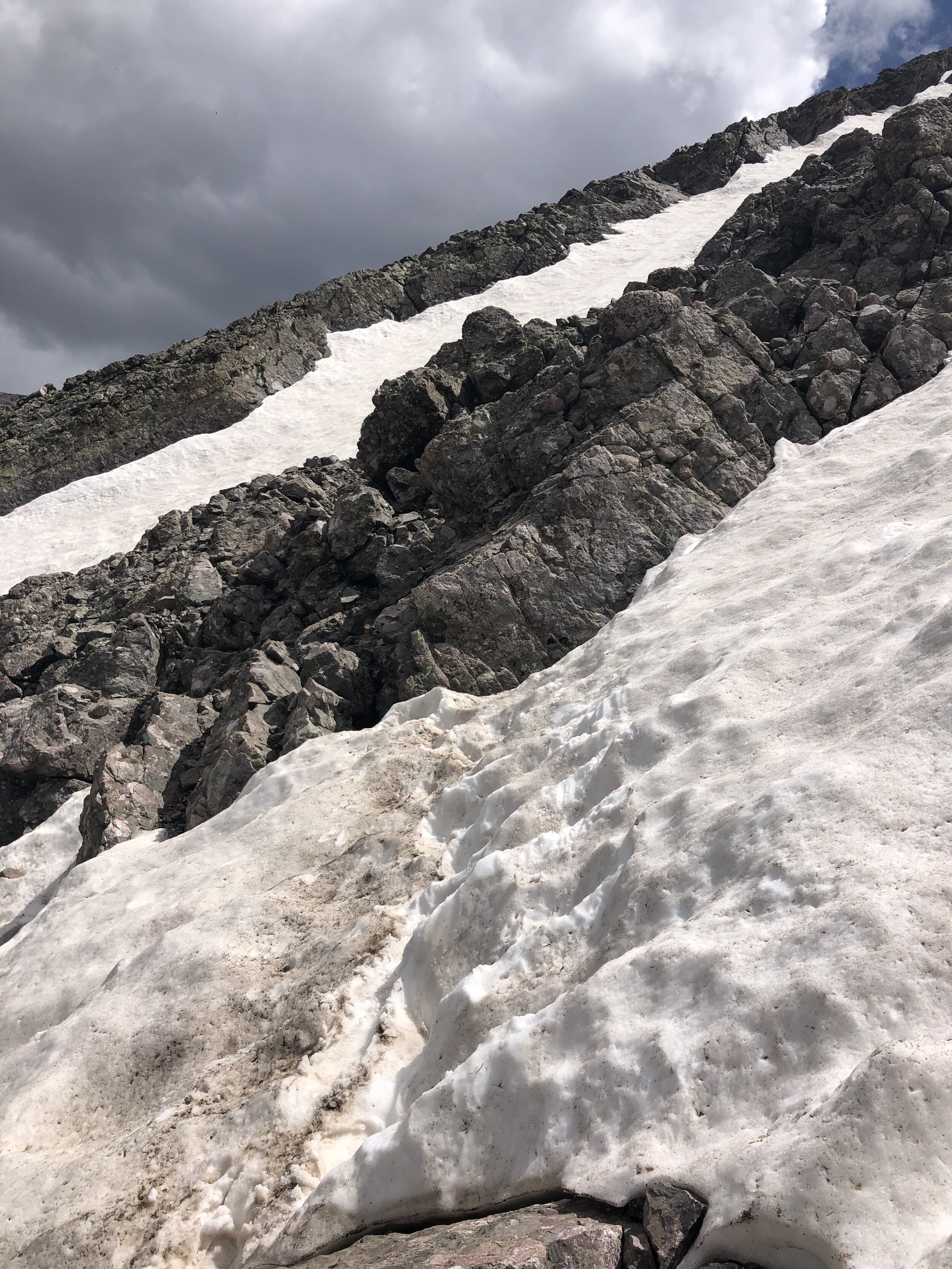
Between 13,650’ and 13,700’, I made the turn to go up the gully and do some easier Class 3 stuff. This part was a lot of fun as you can see by the pictures below!! Definitely the most fun (and it was TYPE 1 FUN, NOT TYPE 2) that I had on the whole hike!!
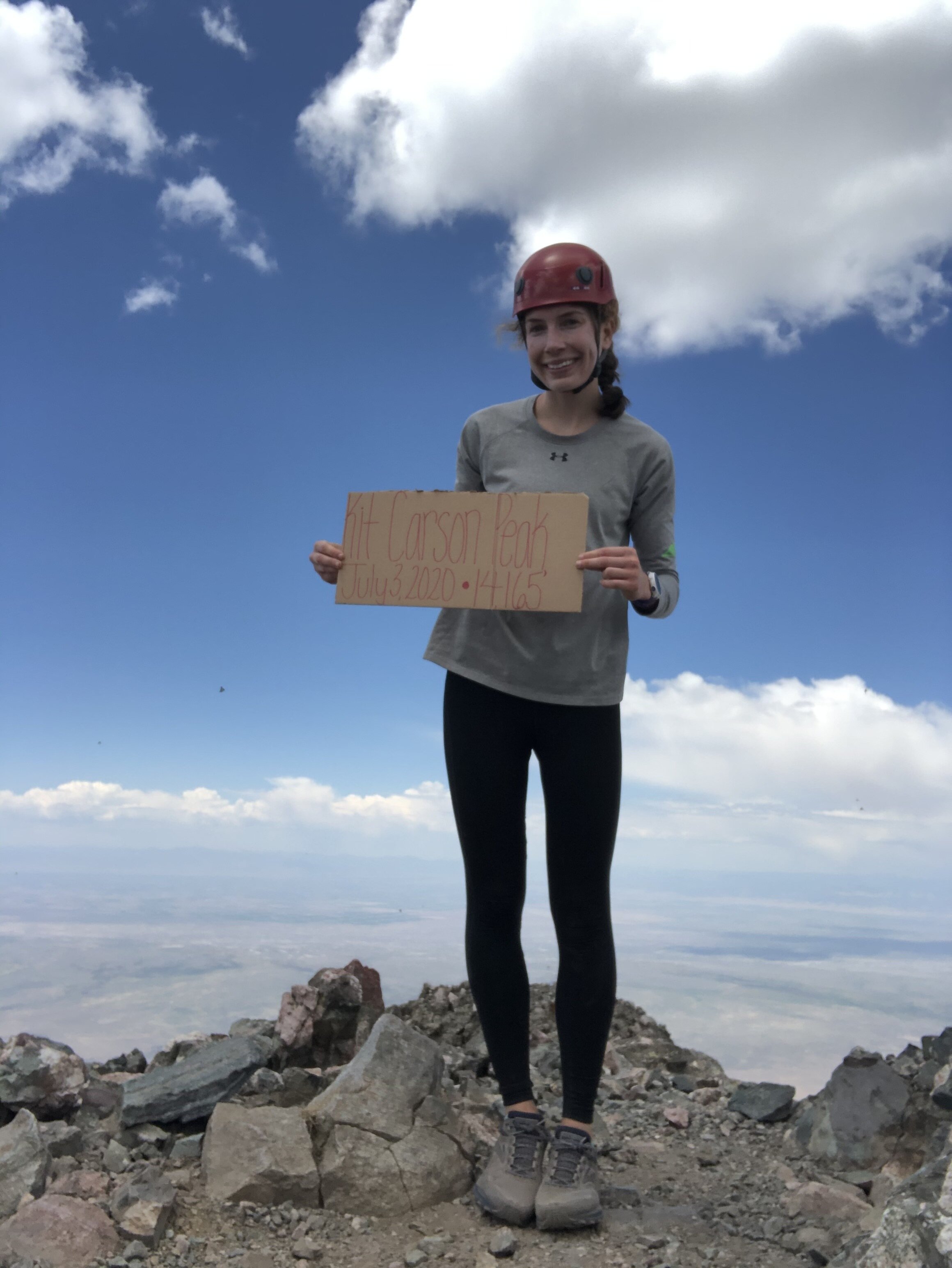
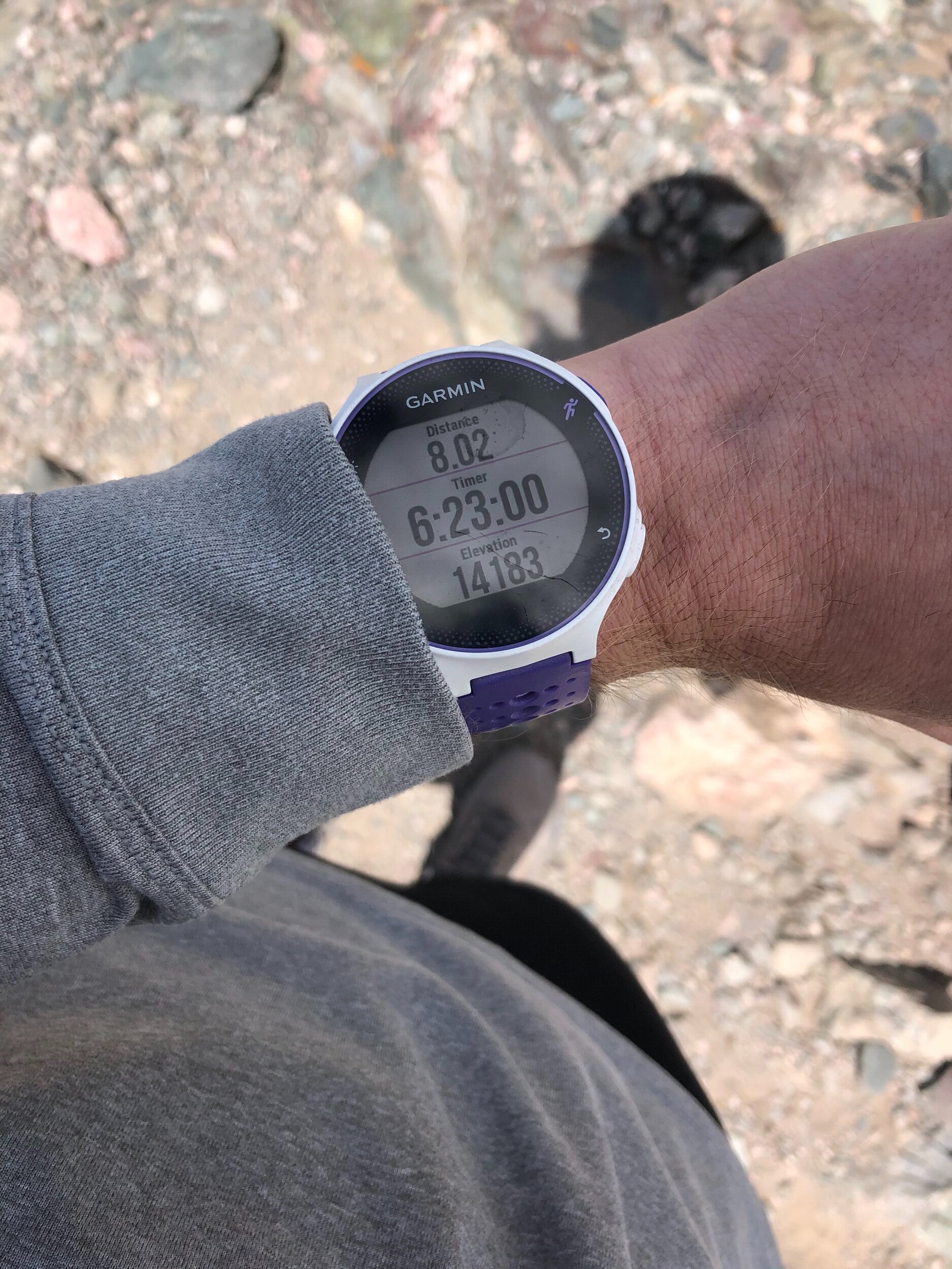
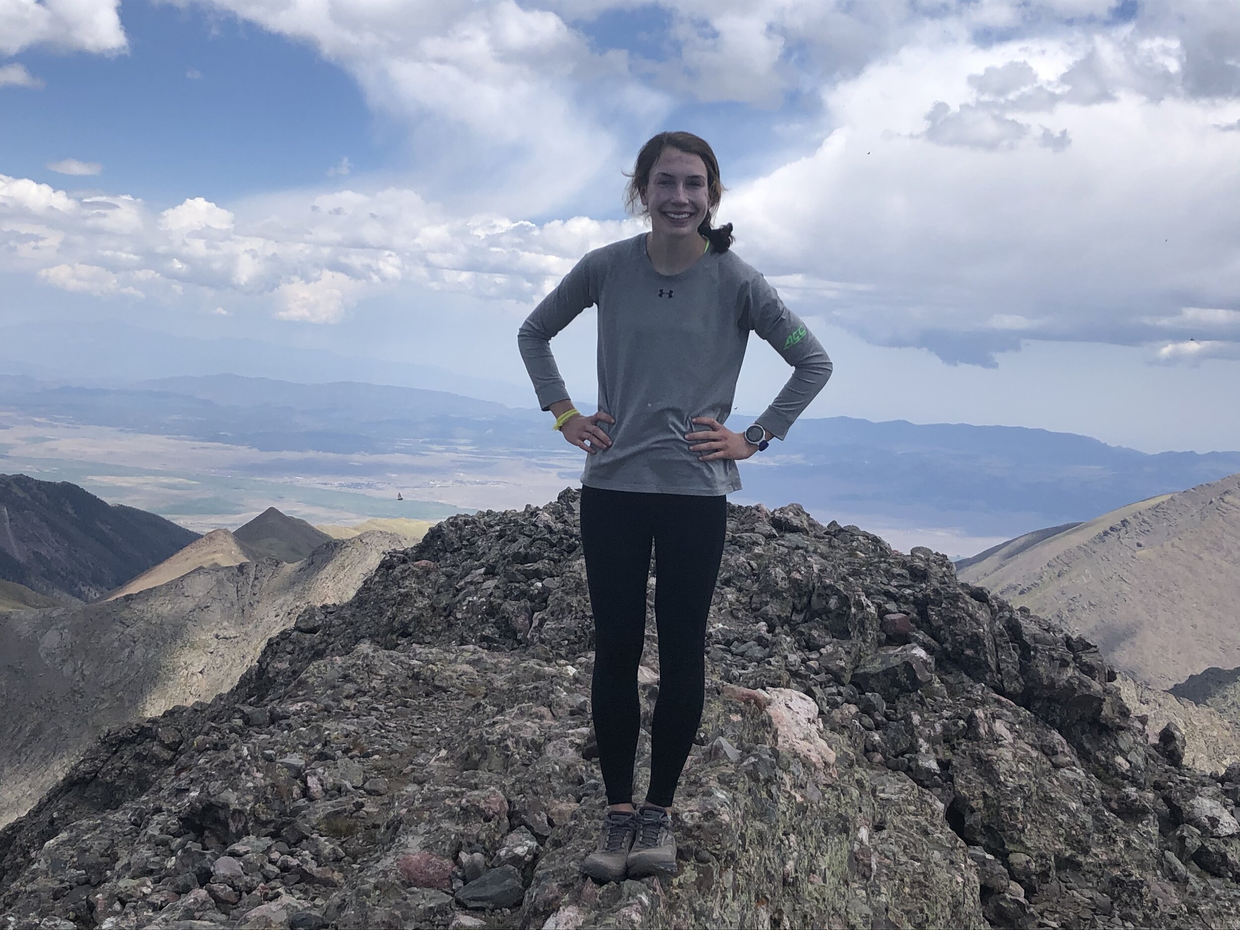
6 hours and 23 minutes after I started the hike, I reached the summit of Kit Carson. The summit is not very noteworthy to say the least…I was like “this is it?!”. I was up there solo for 20 minutes before a couple hikers came up and I chatted with them for awhile. I met them on the way up to Challenger—this was each of their’s 49th 14er. I took some self timer pics before they came which I look better in than the pictures that they took smh. I was so done (not really, but I felt like it for a bit) at the top of KC that I didn’t take that many pictures of the summit/its views. 42 minutes later, I started my descent.
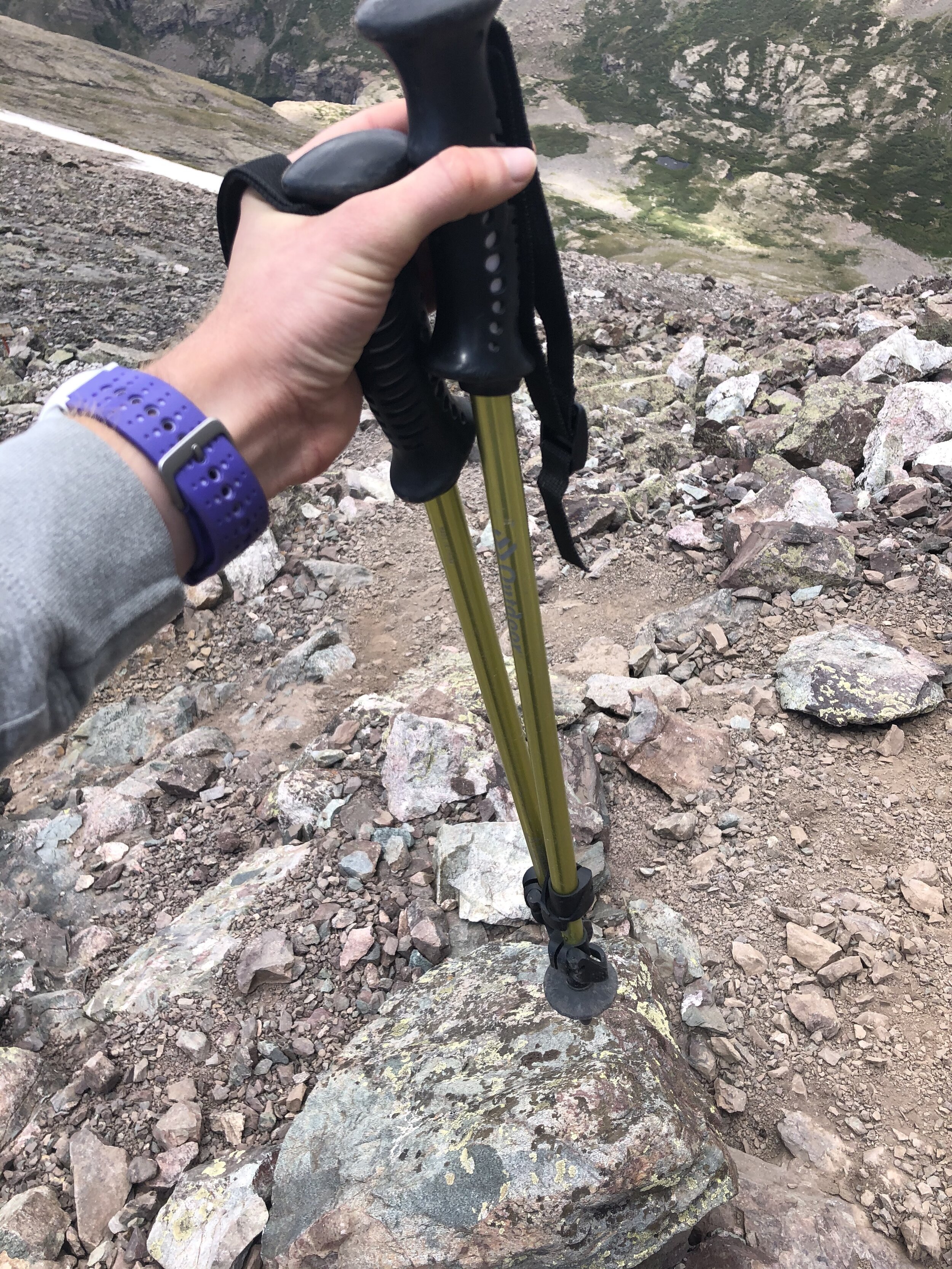
I safely descended the gulley and then got back on Kit Carson Avenue. My plan was to completely retrace my route and go back up to Challenger so I wouldn't do anything dangerous (i.e. fall and die). At the saddle between Challenger and KC, I took out my hiking poles to use for the rest of the hike.
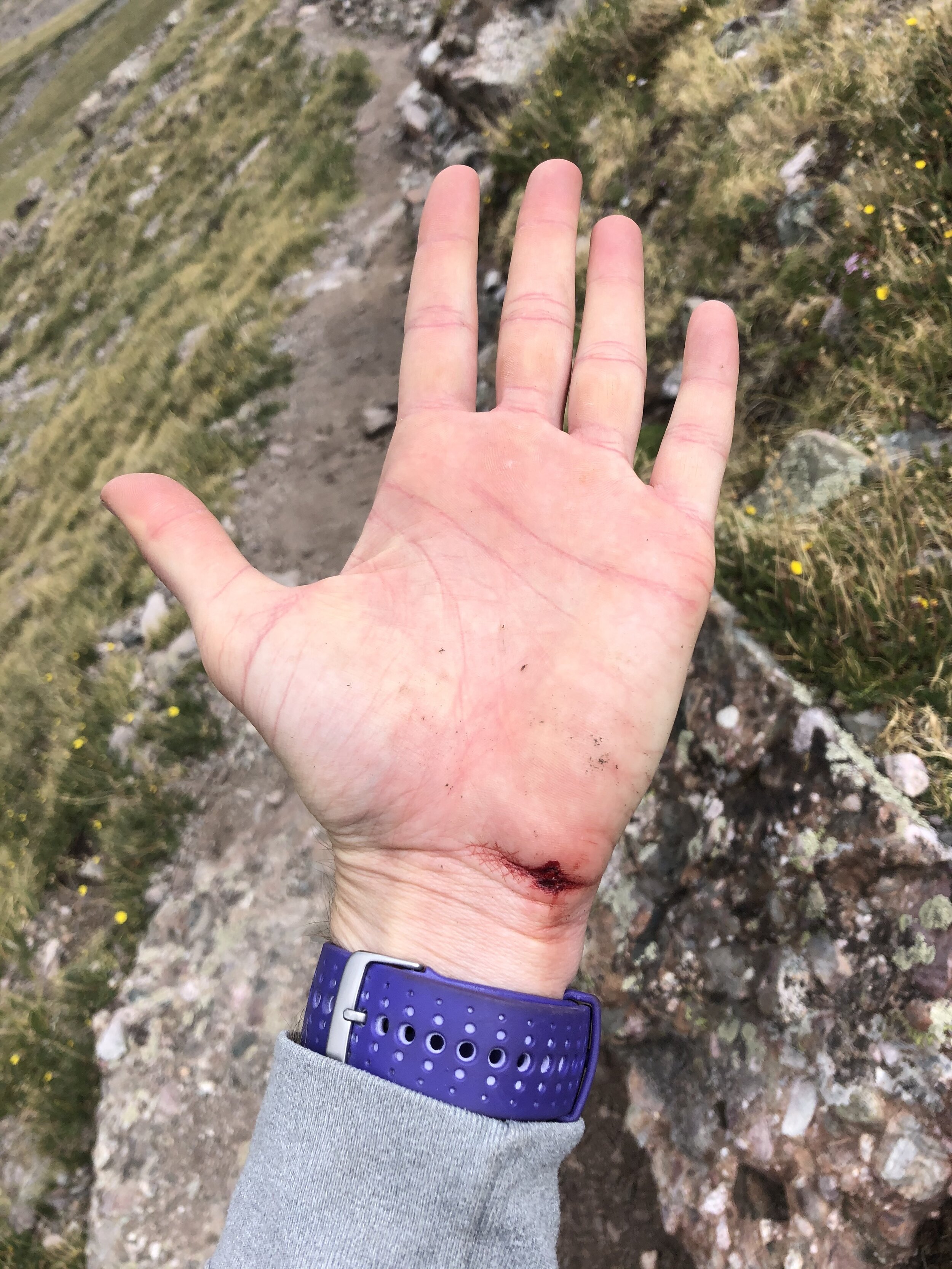
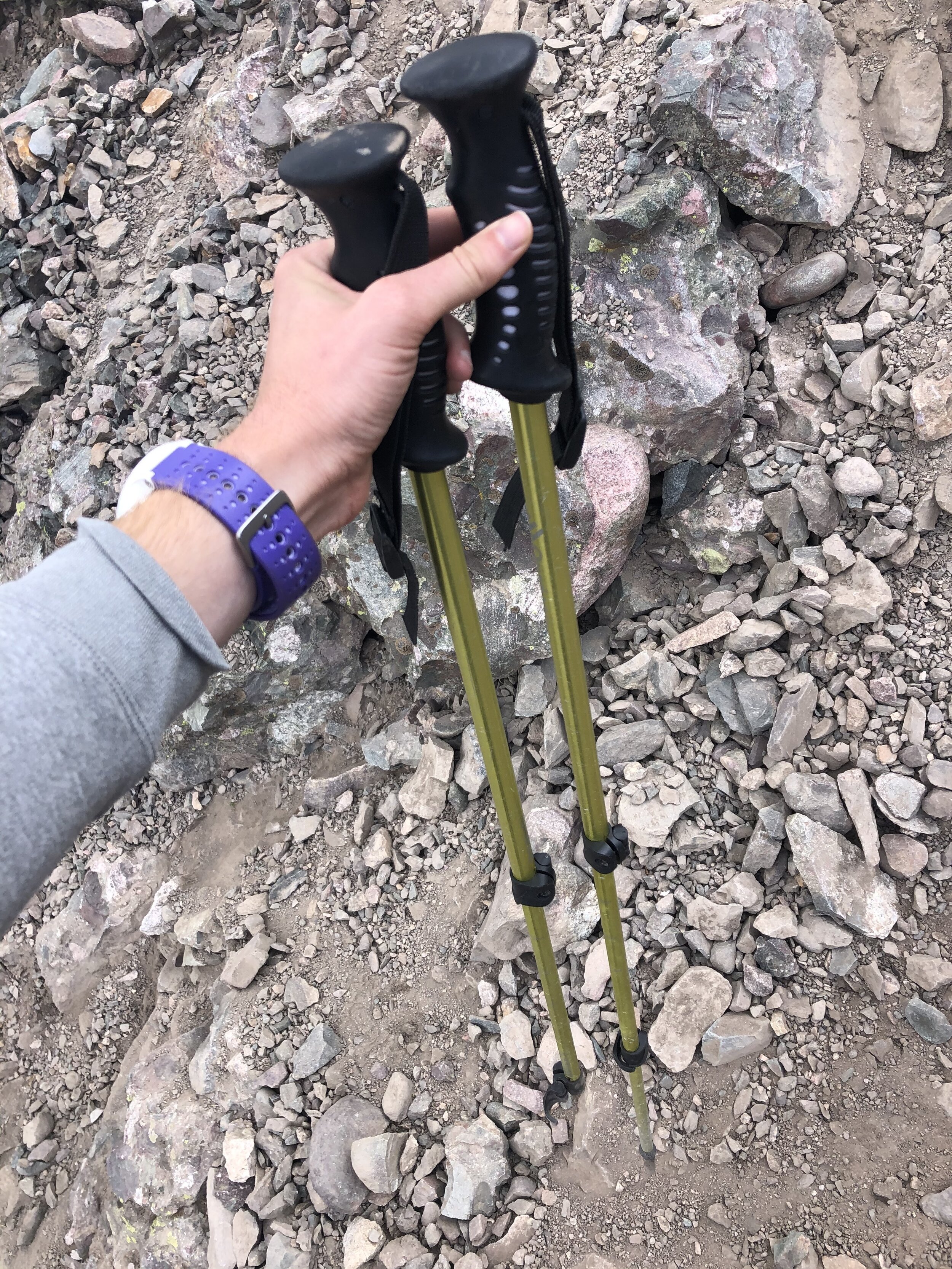
I prefer ascending super steep sections instead of descending, so the descent to around 12,000’ was a lil annoying. Took a minor slip and cut my hand, but all is good!! I finally took my helmet off after the super steep section before continuing on. On the descent, I broke my hiking pole (sorry buddy July 4, 2019-July 3, 2020).
At this point, I was thinking “yeah this hike is so long, I hope my Garmin doesn't die”. That’s correct, my main priority was finishing before my Garmin died (haha). I captured a great shot of Willow Lake on my descent. Maybe 15 minutes later, I FOUND MY AVIATORS!!!!!!! I had taken them off when I took a mini break on my ascent and didn't notice I had left them until about 20 minutes later (and I wasn't going to go back to get them since I had my other ugly af pair). This honestly was a great pick-me-up. I didn't really take pictures from Willow Lake back to the trailhead since I just wanted to finish.
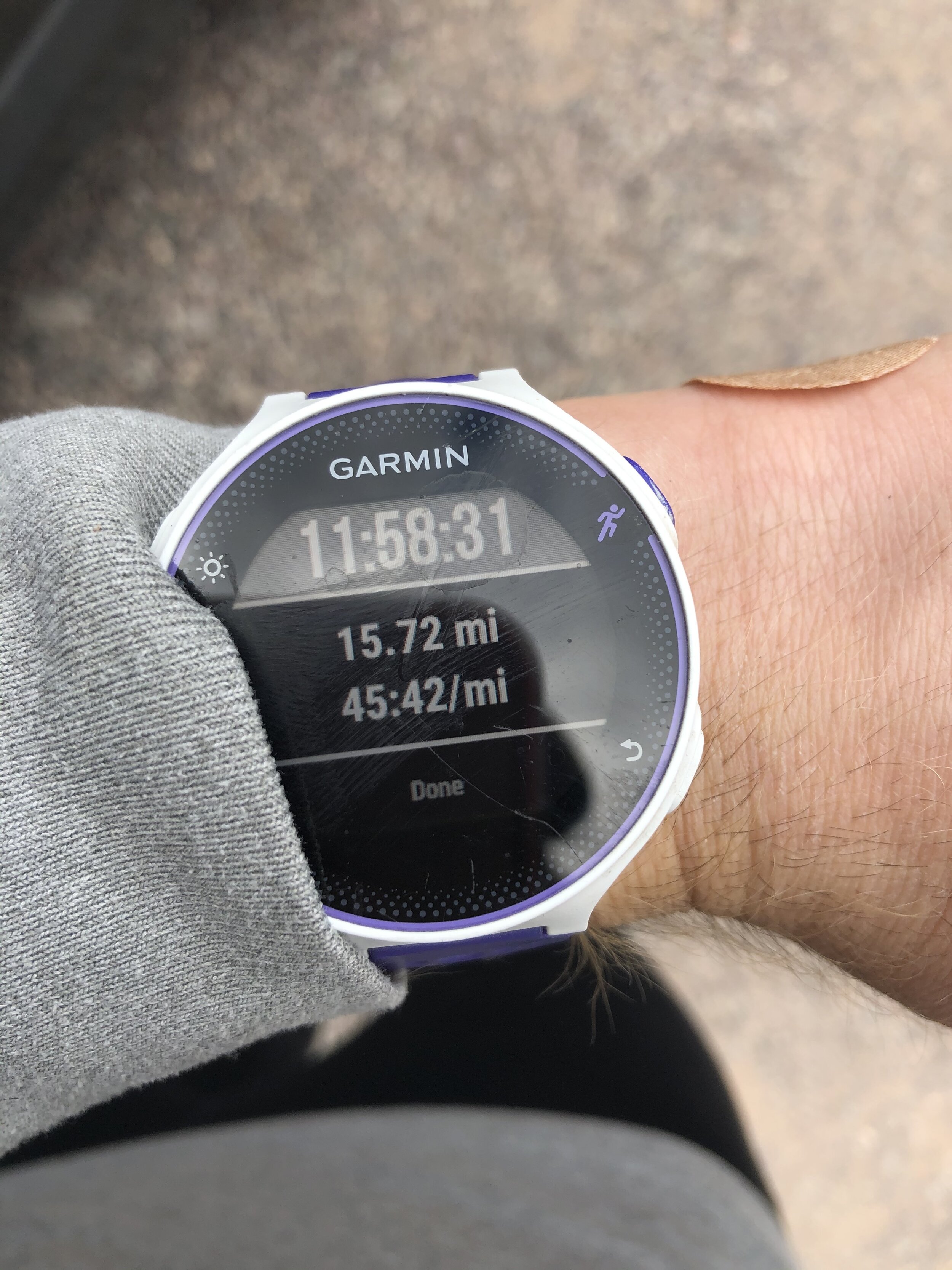
11 hours and 58 minutes later, I returned to the trailhead. THIS WAS QUITE THE ADVENTURE TO GET MY 33RD AND 34TH 14ERS TO SAY THE LEAST. If I’m being honest, I did not expect this hike to be as hard or long as it was ;however, it sure proved me wrong. The parking lot was even more full tonight (yes, it was 5:30 pm when I finished haha), and some people don’t know how to park. This person nearly prevented me from getting out of my spot…it took me like 5 cuts to get out safely, but, if I had bumped into their car, that’s on them for not knowing how to park. I drove a few hours back to the Springs and got home a little after 9pm. I was basically gone from 2am-9pm…this was a very long day. At the time, it was hard and not all that fun and I wondered why I like to do this, but, after I finished and got back, I realized that it was really so much fun and I can’t wait for the next!!