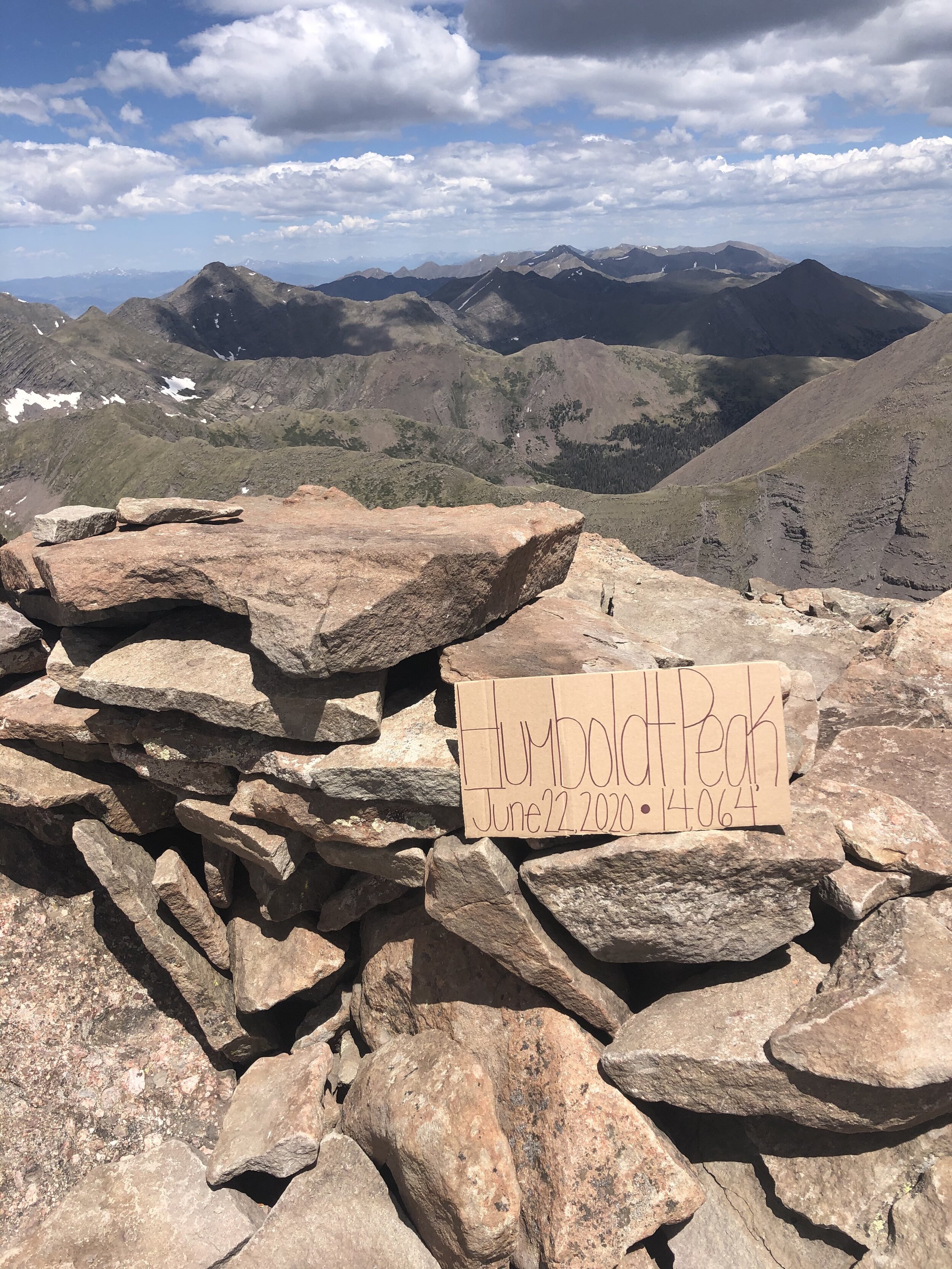
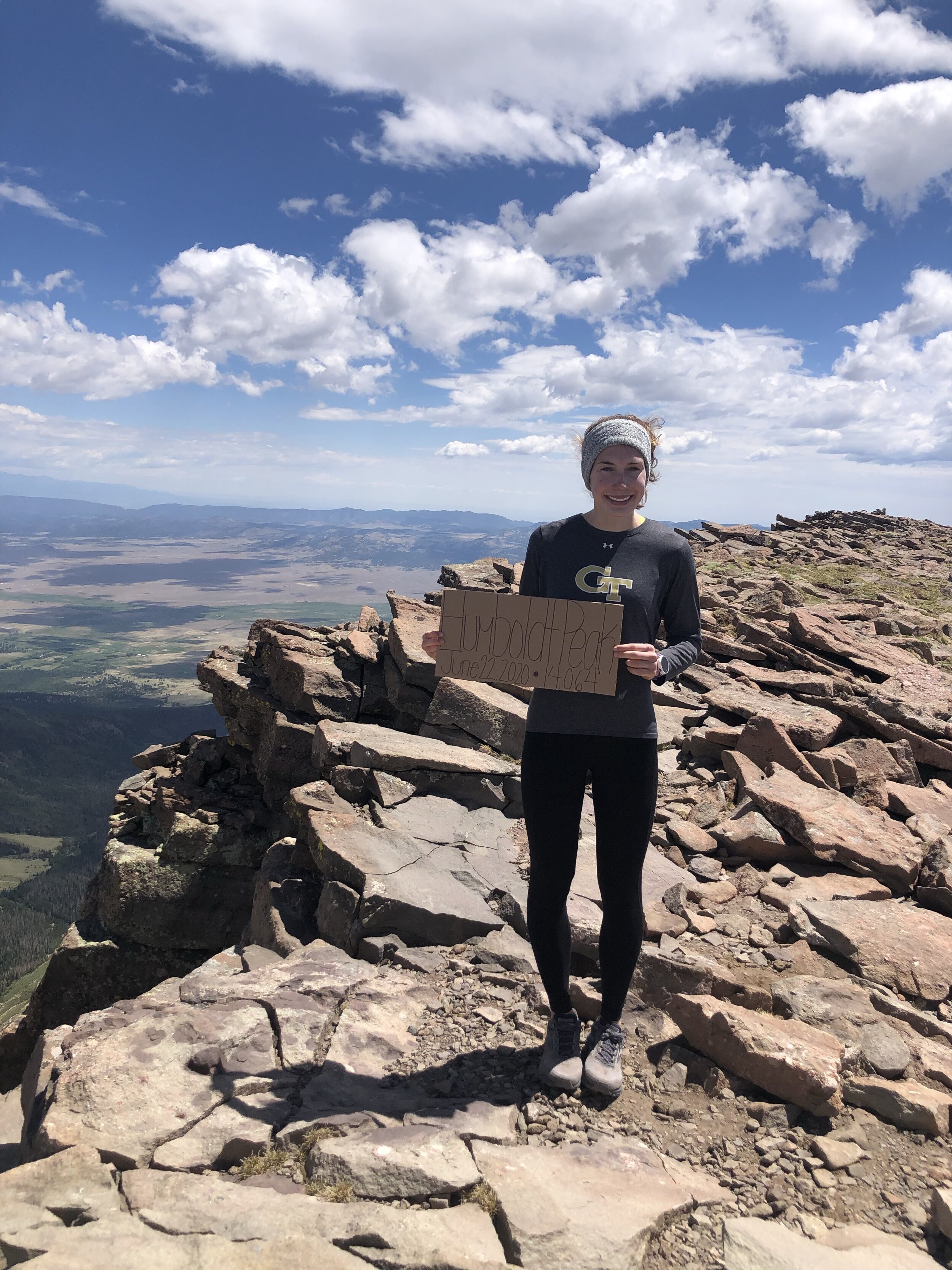
Humboldt Peak
June 22, 2020 / 14,064’
RT STATS: TOTAL TIME - 9 HR & 59 MIN, 17.07 MILES, AND 5,292’ ELEVATION GAIN
TIME STATS: 5 HR & 12 MIN TO SUMMIT, 35 MIN AT SUMMIT, 4 HR & 12 MIN BACK TO CAR
RATING (HOW MUCH I LIKED THE HIKE): 7/10
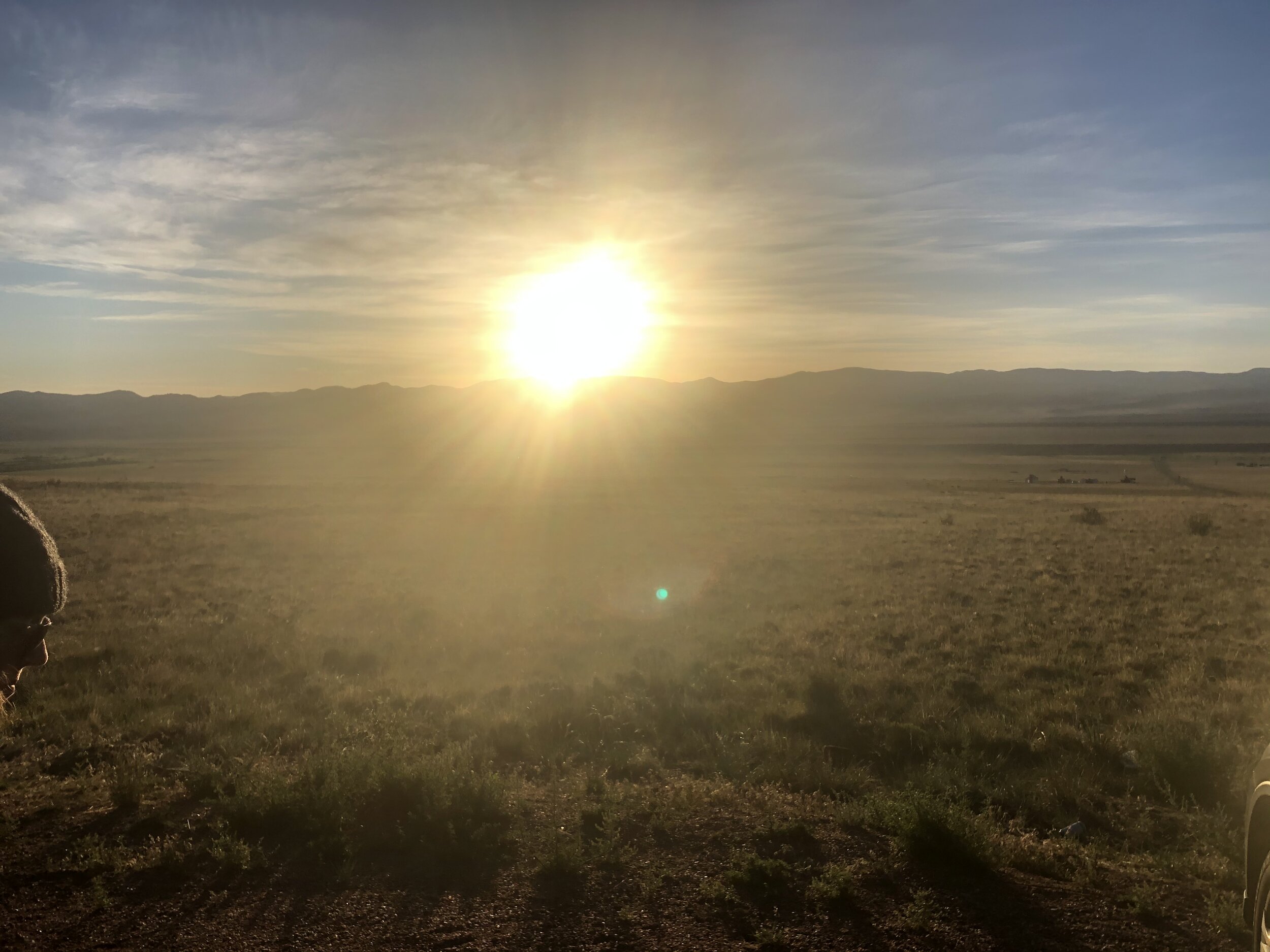
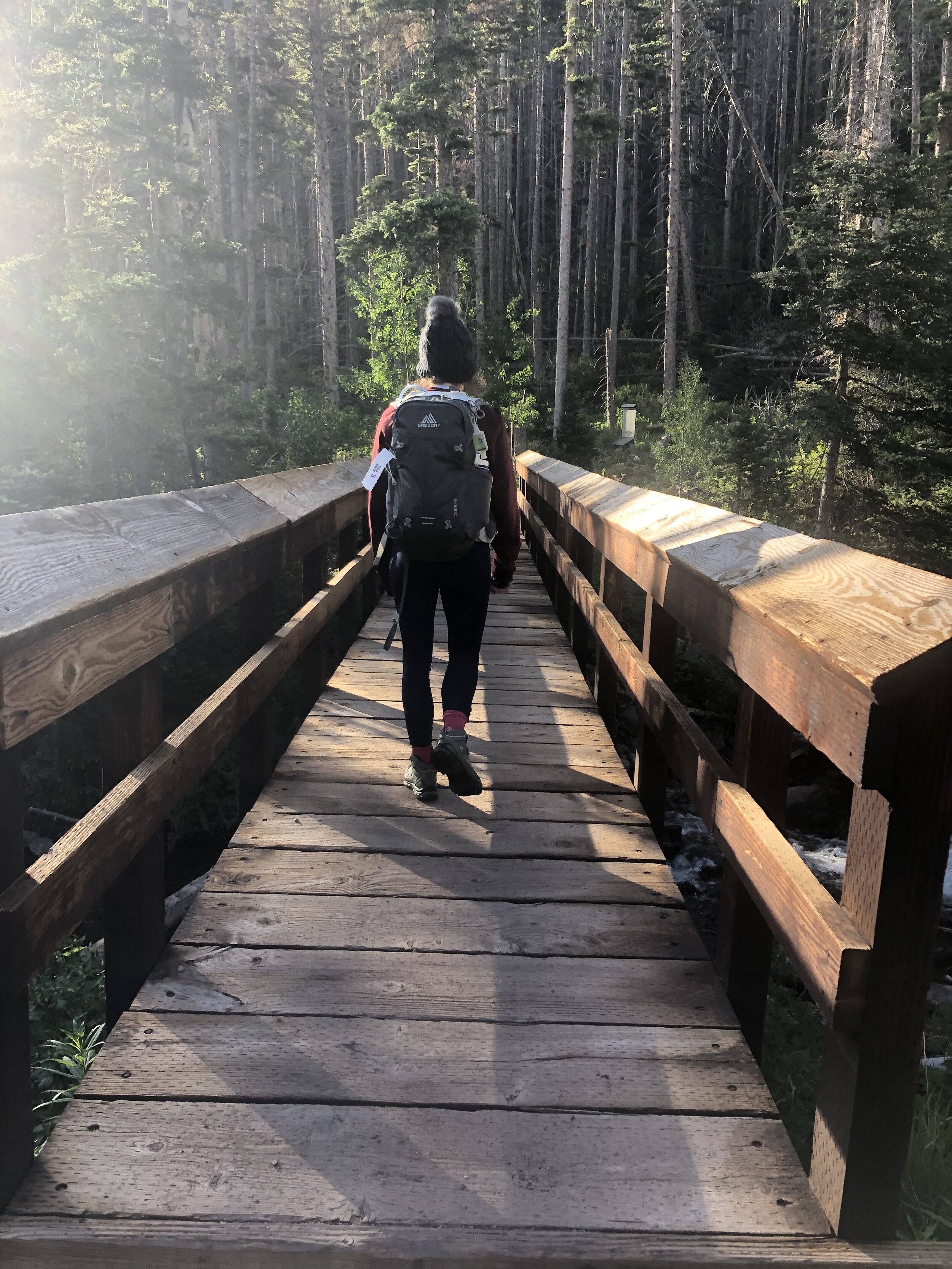
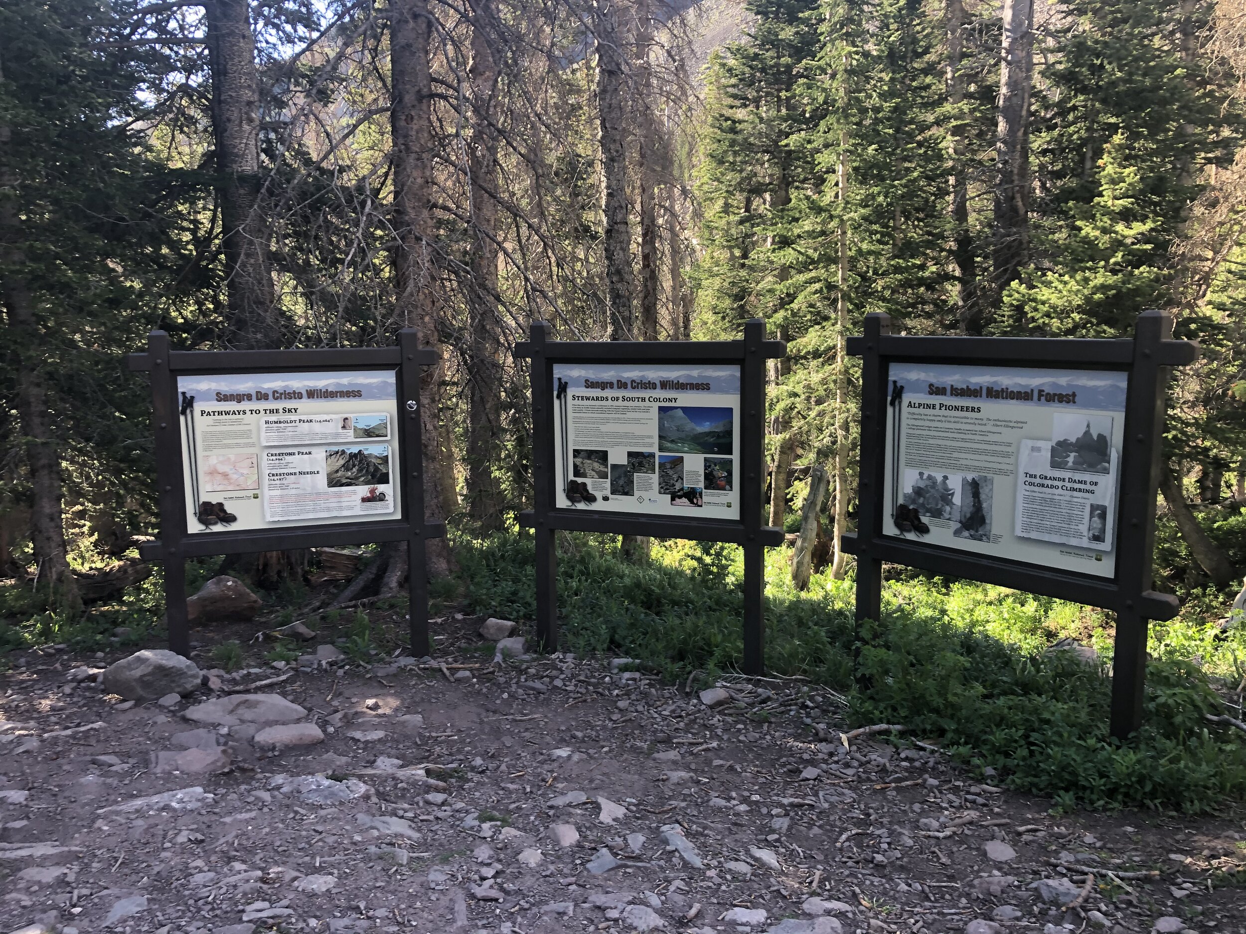
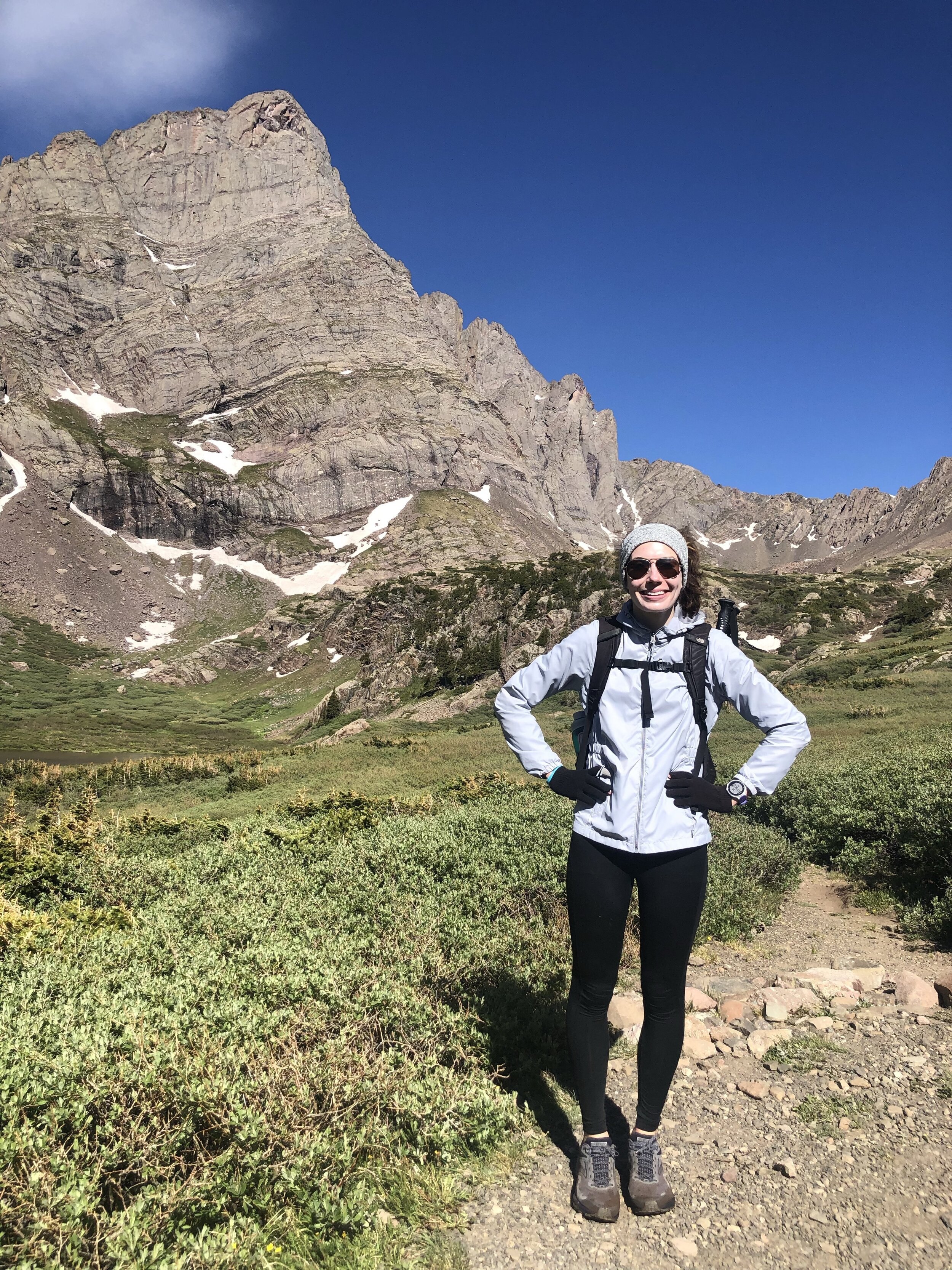
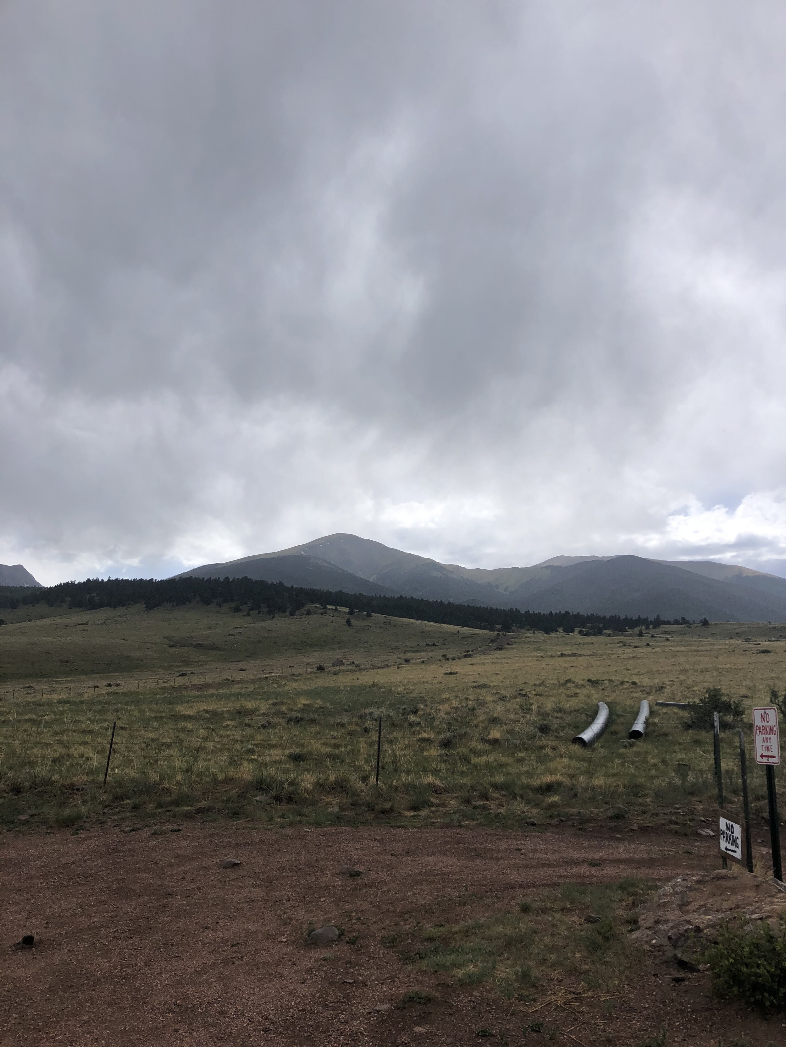
Yay, my first hike in 2020 that finally wasn't in the Sawatch Range, but, rather, in the Sangre de Cristo Range! A nice change of scenery not driving on US-24 again and I finally had a hiking buddy—my sister Melissa—after many solo hikes! We left Colorado Springs at 4 am and arrived to the 2WD trailhead (elevation 8,800’) for Humboldt a little before 6 am. There were a few other cars there and we started the hike a little bit after 6!
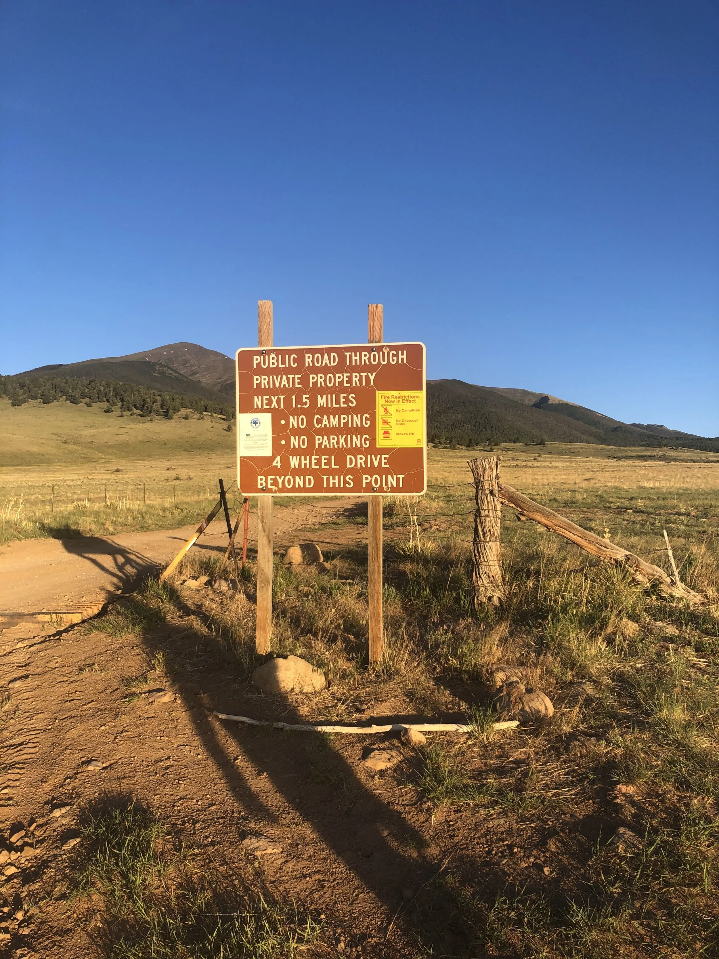
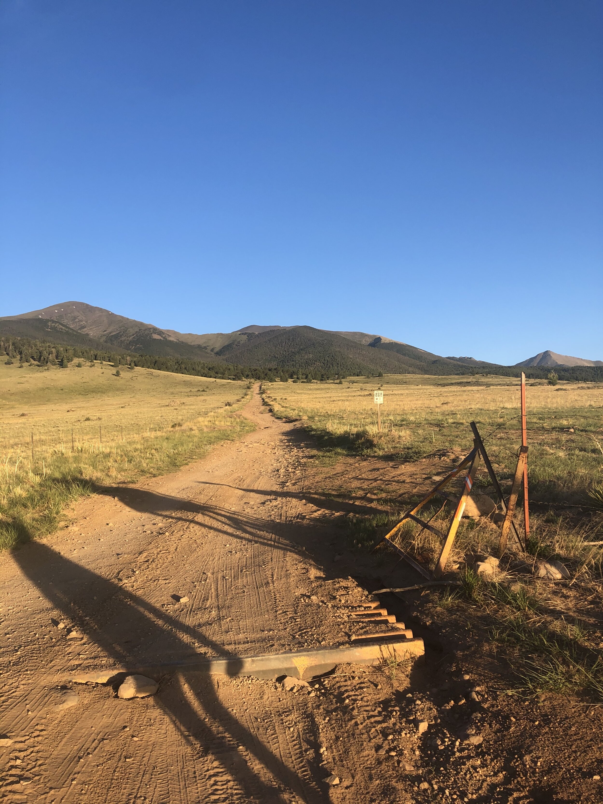
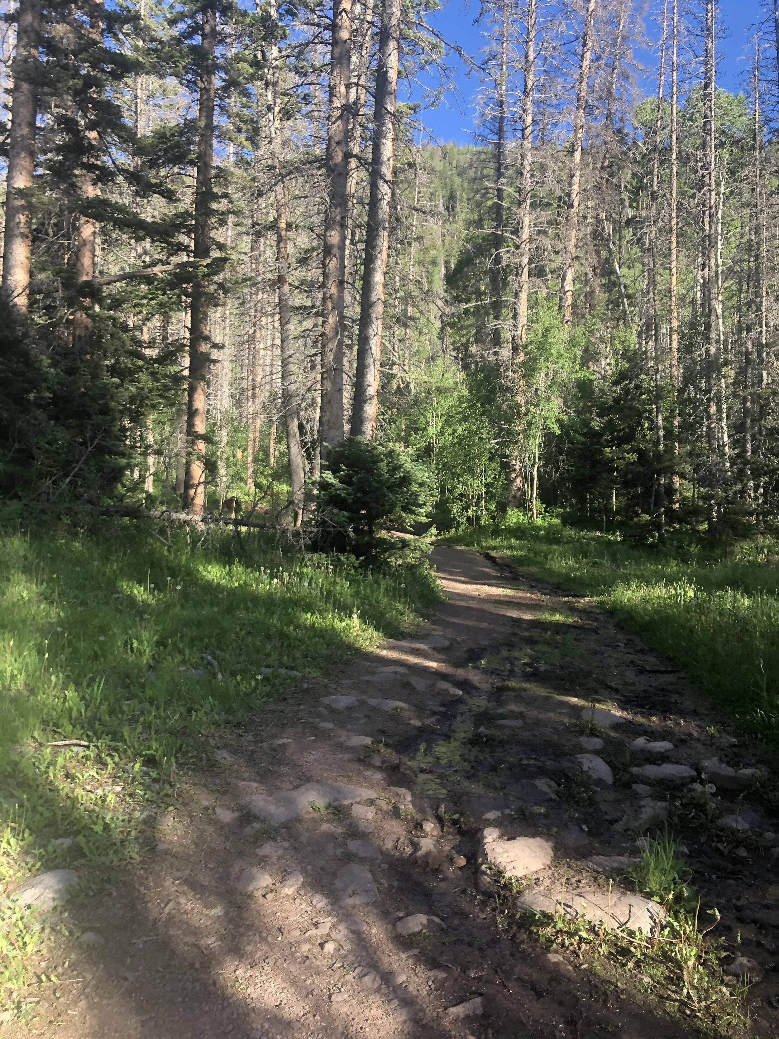
The first 2.7 miles of the hike was just a simple trek up the 4WD road. We passed by a GATE that I love (iykyk)—I am not joking at all. Ask me why I love this gate and I MIGHT tell you why I like this gate (depending on who you are, sorry lol). Anyways, it took us just over an hour to reach the South Colony Lakes trailhead (elevation 9,900’).
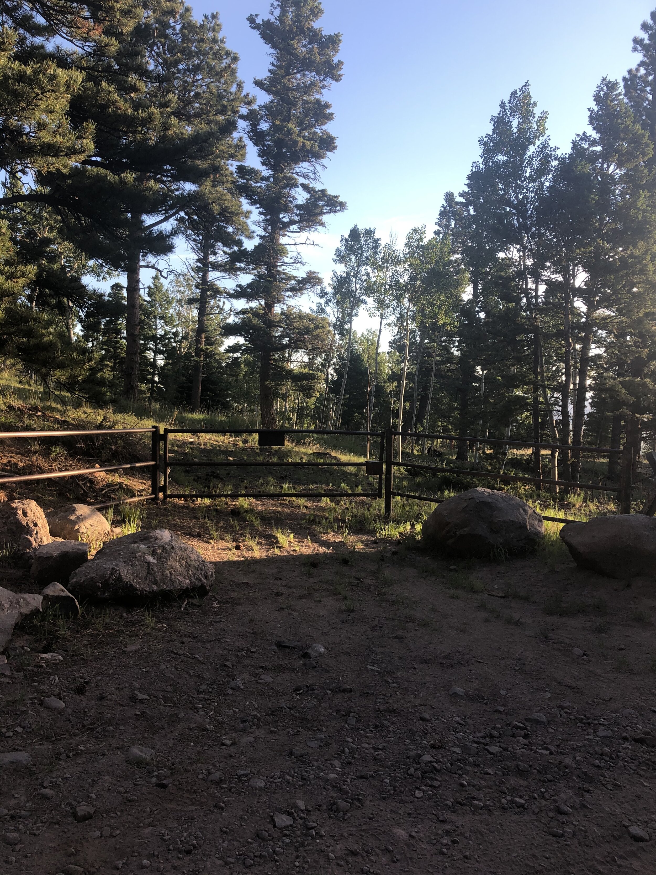
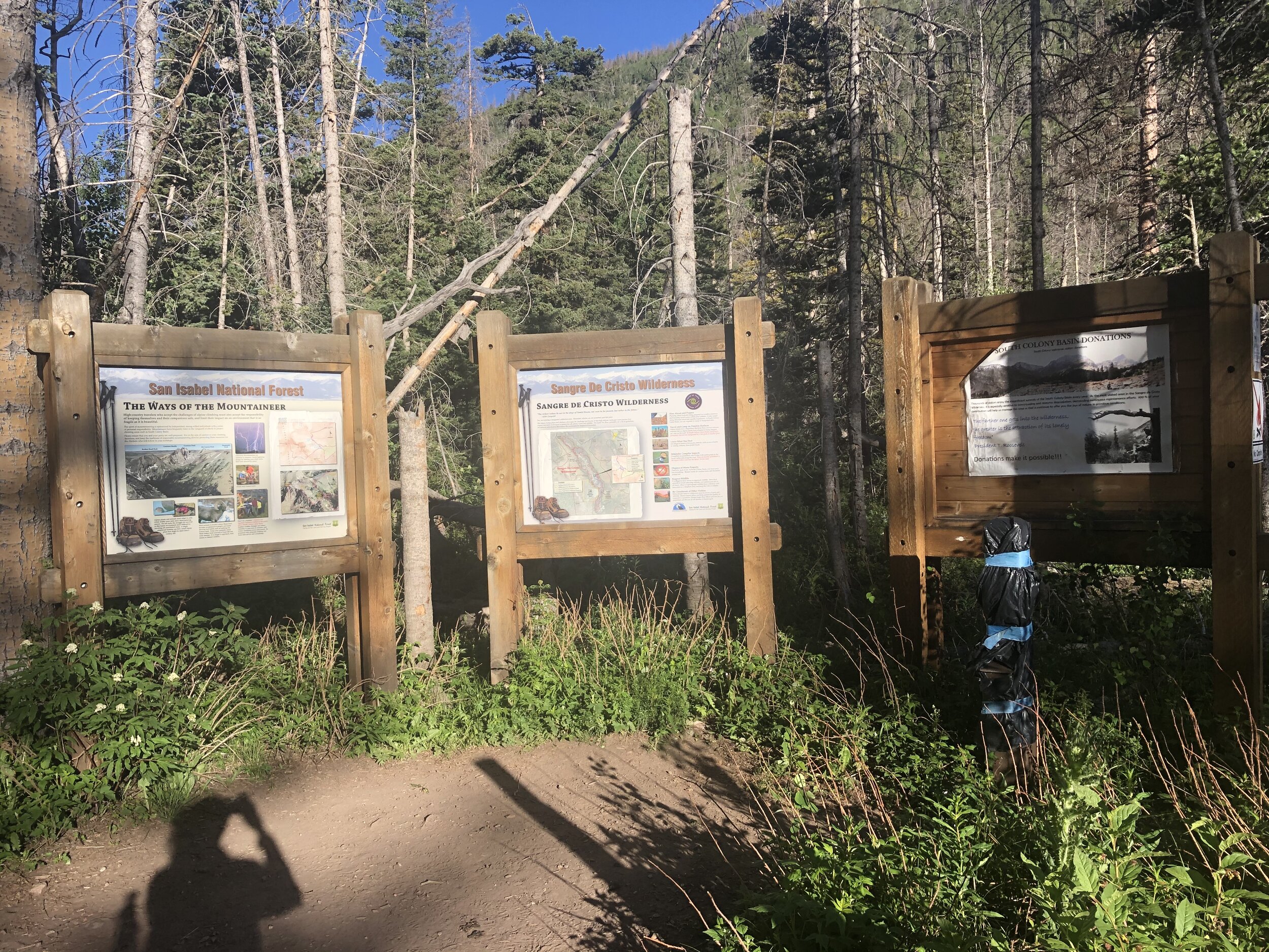
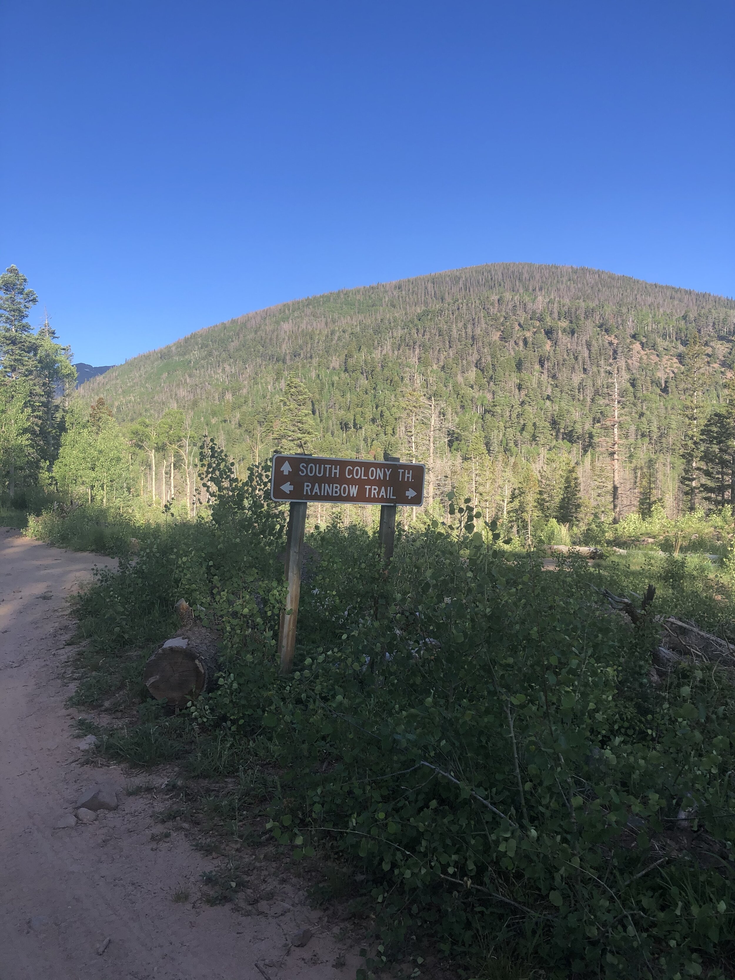

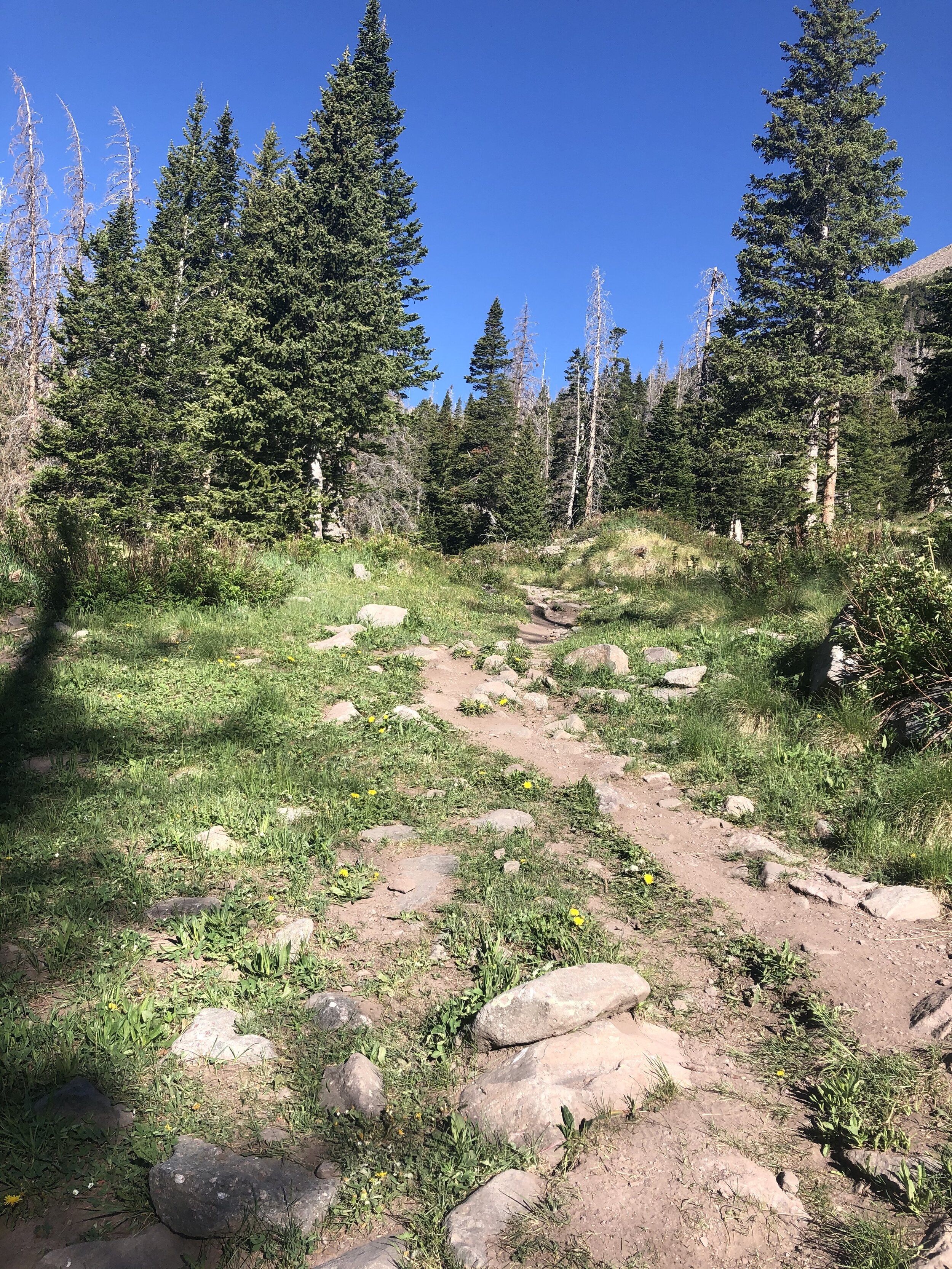
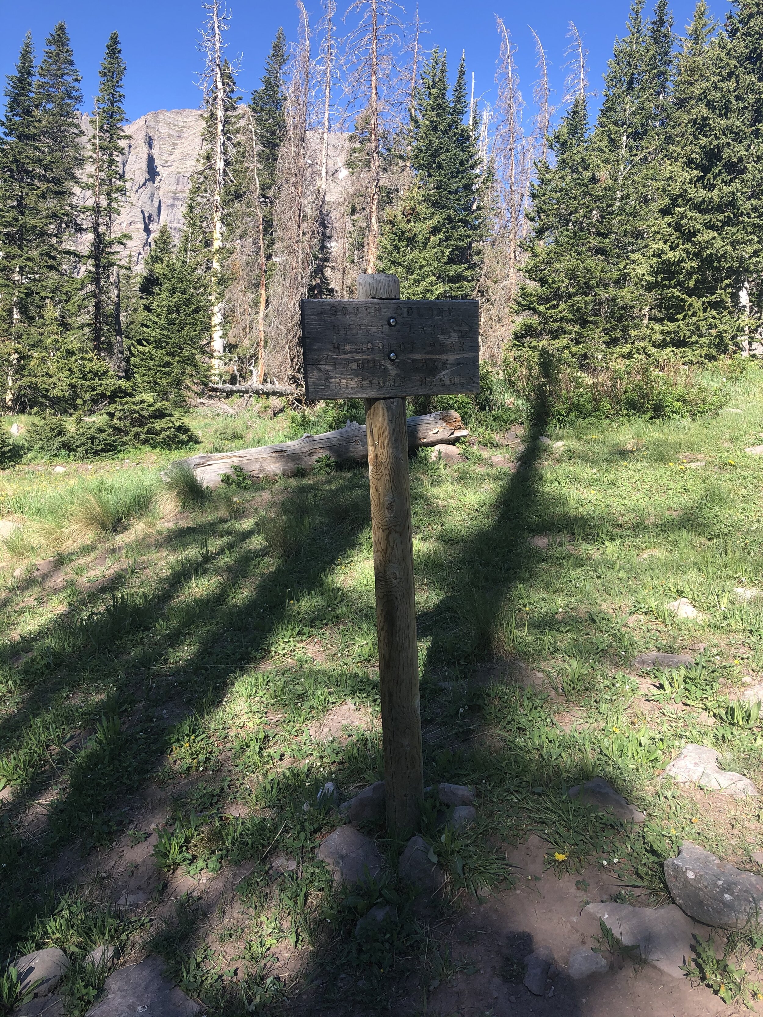
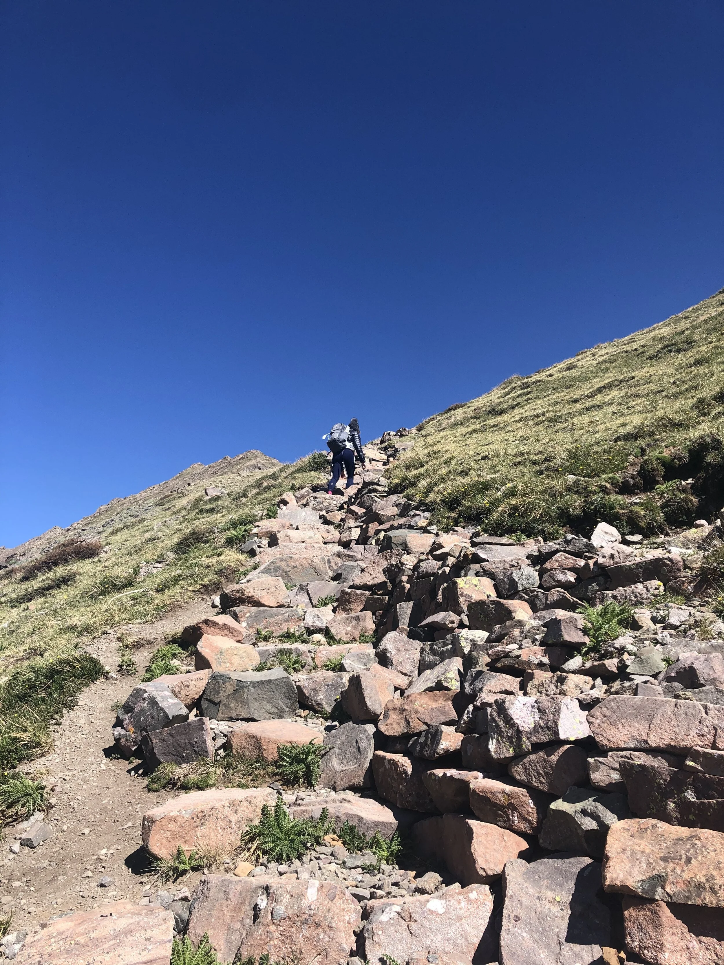
The next 2.6 miles of the hike was just going up an old road. Nothing special…similar to the 4WD road, we did not gain much elevation. 2 hours and 15 minutes after starting the hike, we arrived at the trail junction with a sign pointing us to the right to take the path towards Humboldt Peak. We took a mini break at this point before heading on. The elevation at this point was only 11,100’, meaning that the hike was certainly going to get much steeper later on. I did not look at the elevation profile for this hike, so this was new news to me!
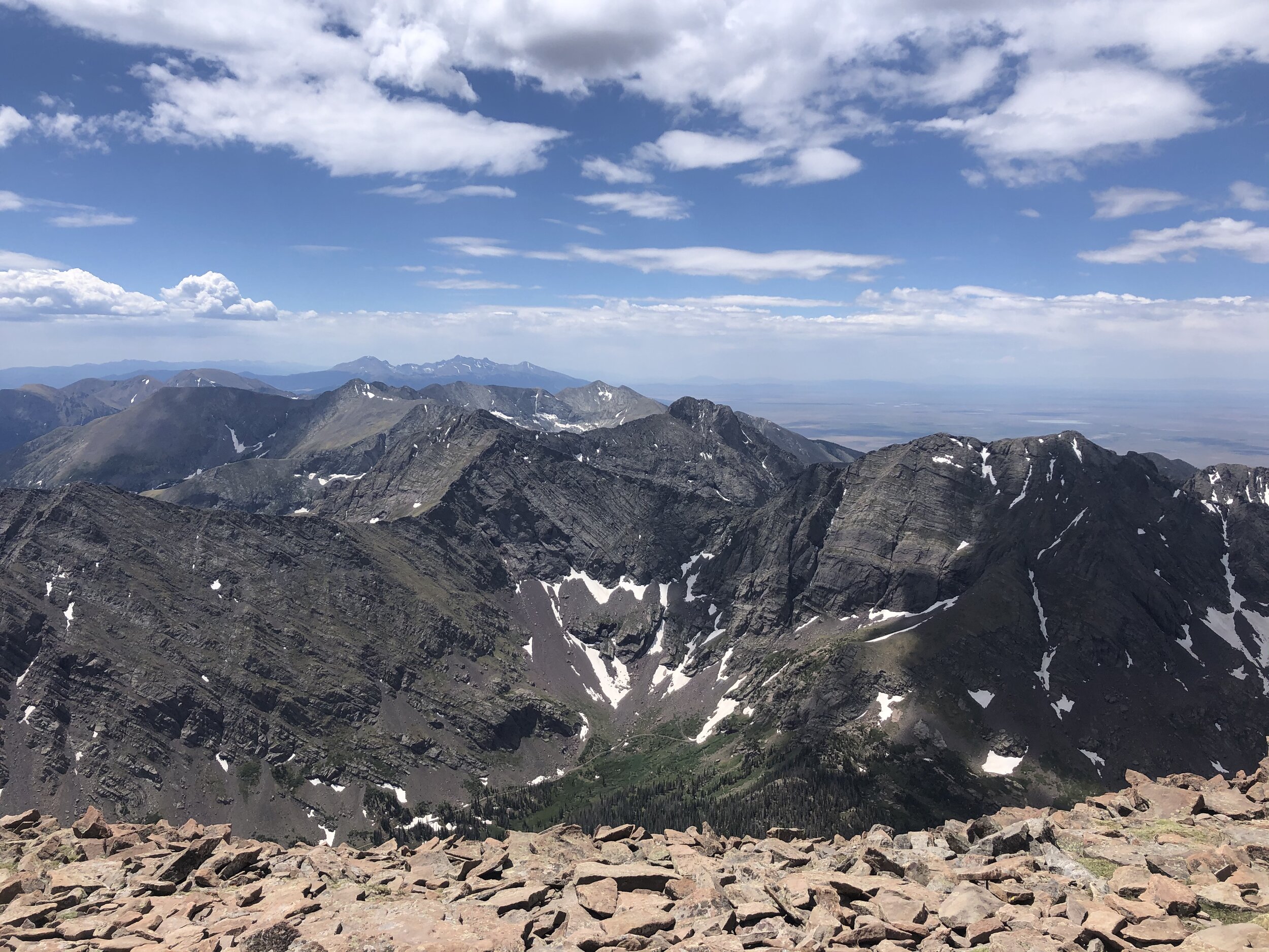
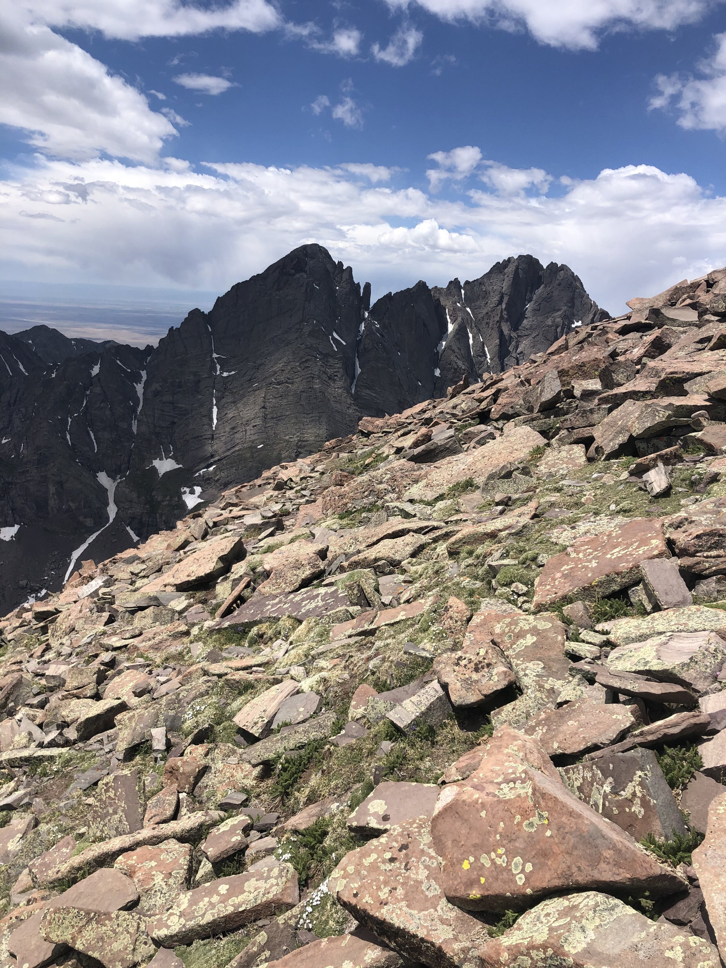
During the next ~1.5 miles, we just kept hiking along and got some absolutely killer views of Crestone Needle!! I literally cannot wait to do the Crestones!!!! We passed by the South Colony Lake and then this is where the hike started getting steep.
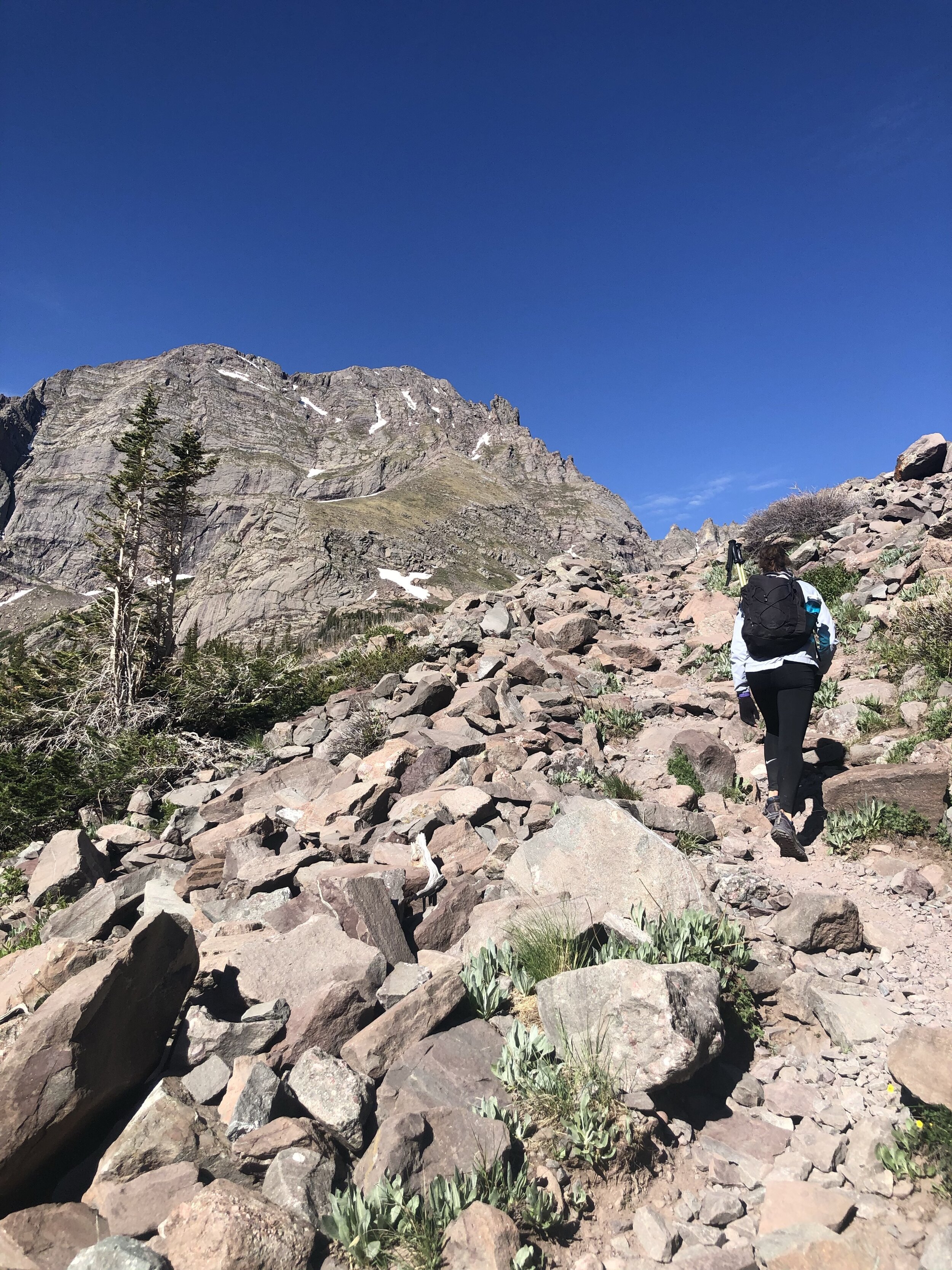
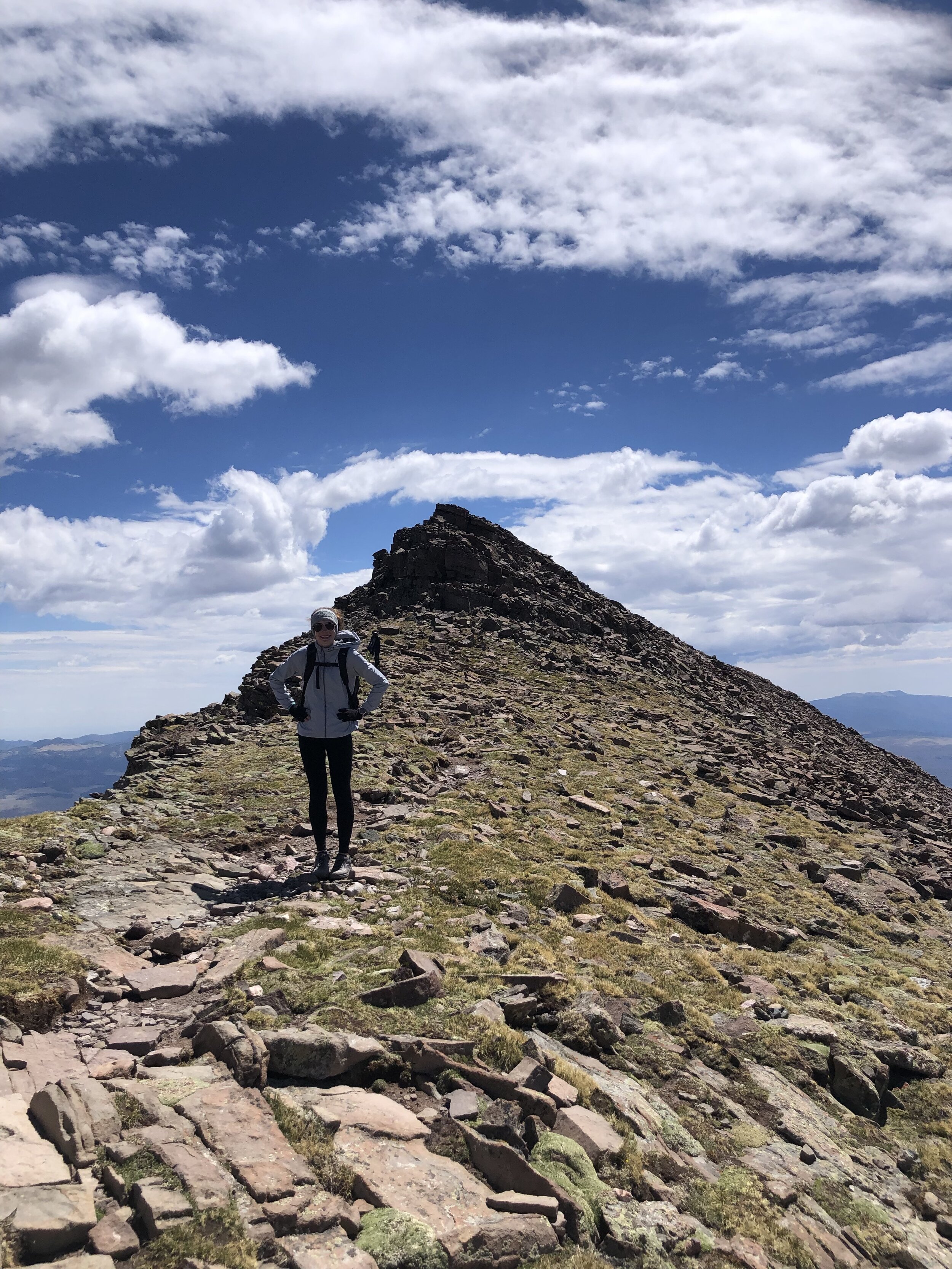
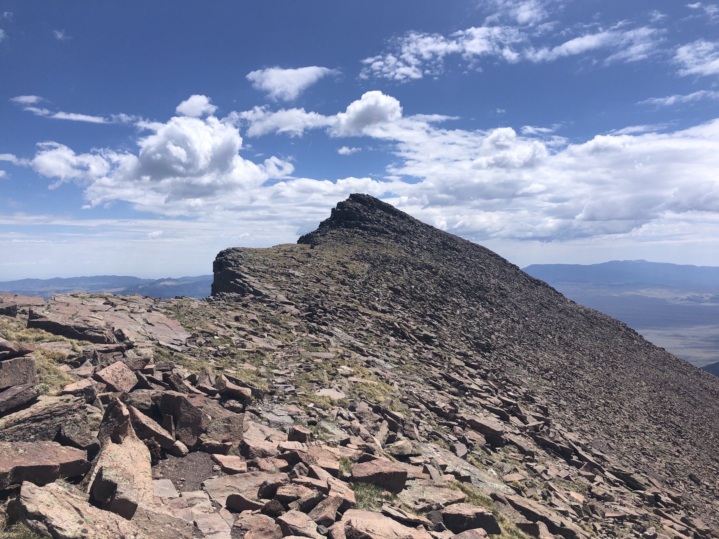
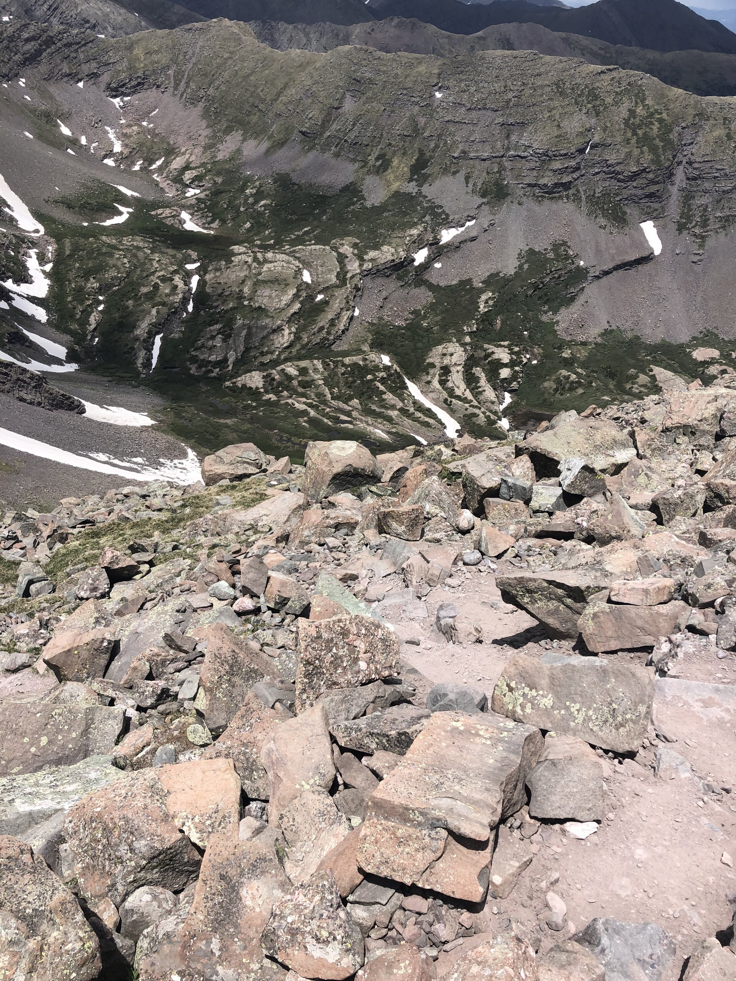
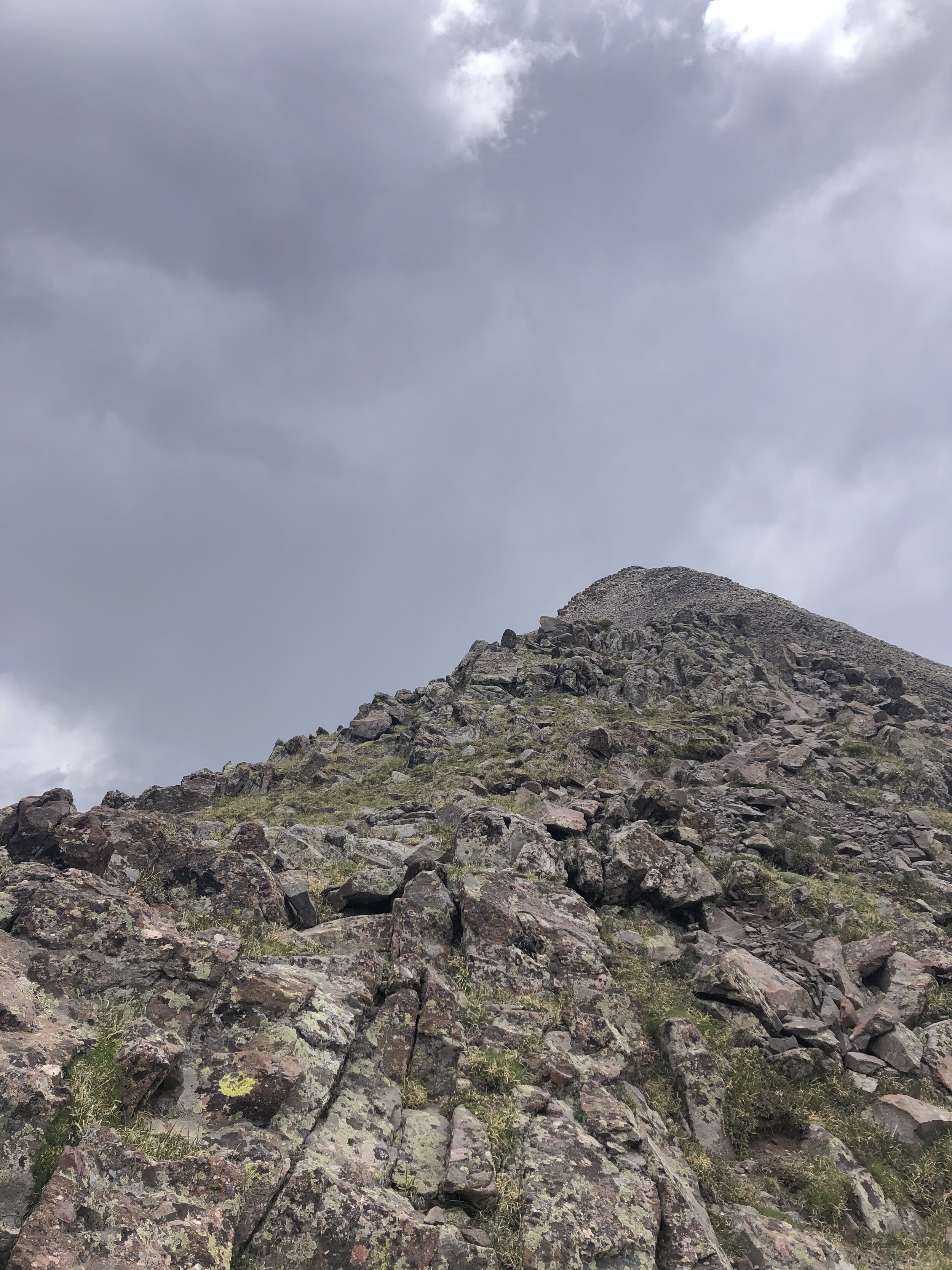
During the last 1.6 miles, we gained 2,000’ in elevation, finally making this feel like a harder hike lol. We just climbed up some switchbacks until we got to a saddle that was at about 12,900’. From here, we got some cool pictures of the false summit!
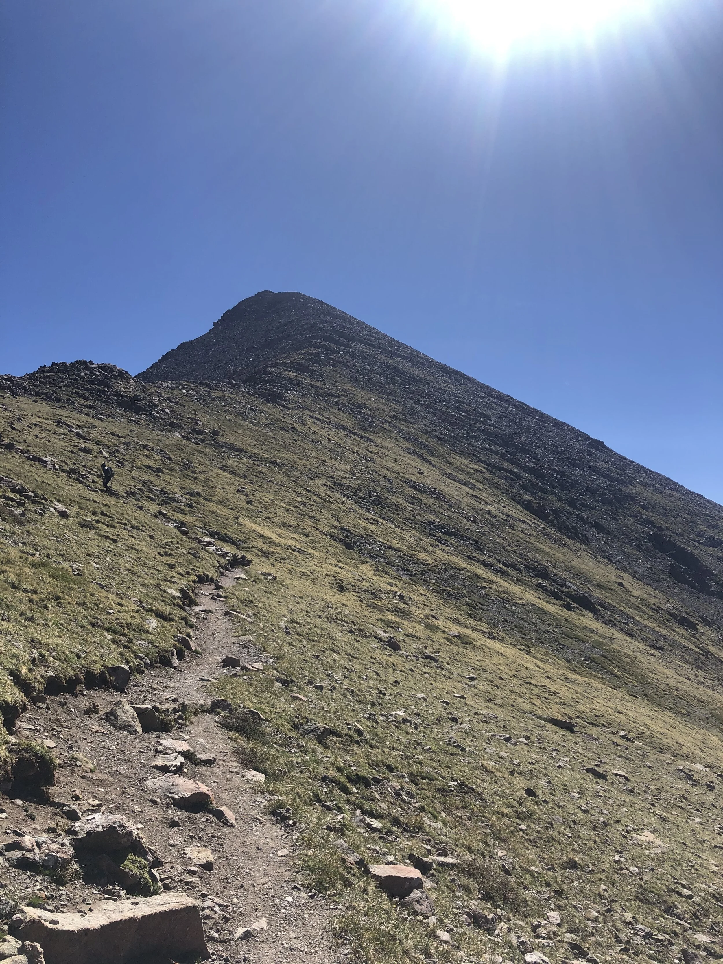
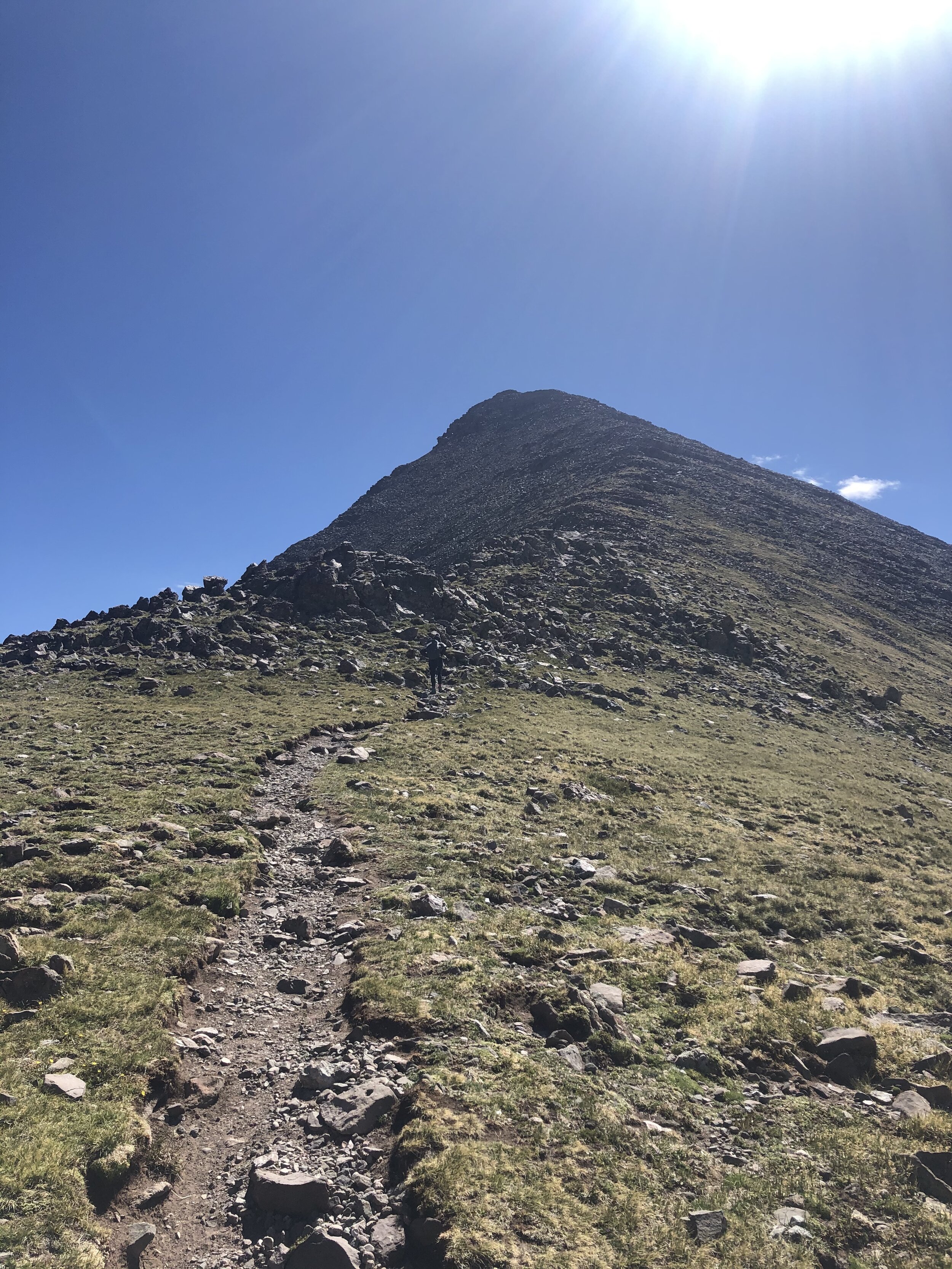
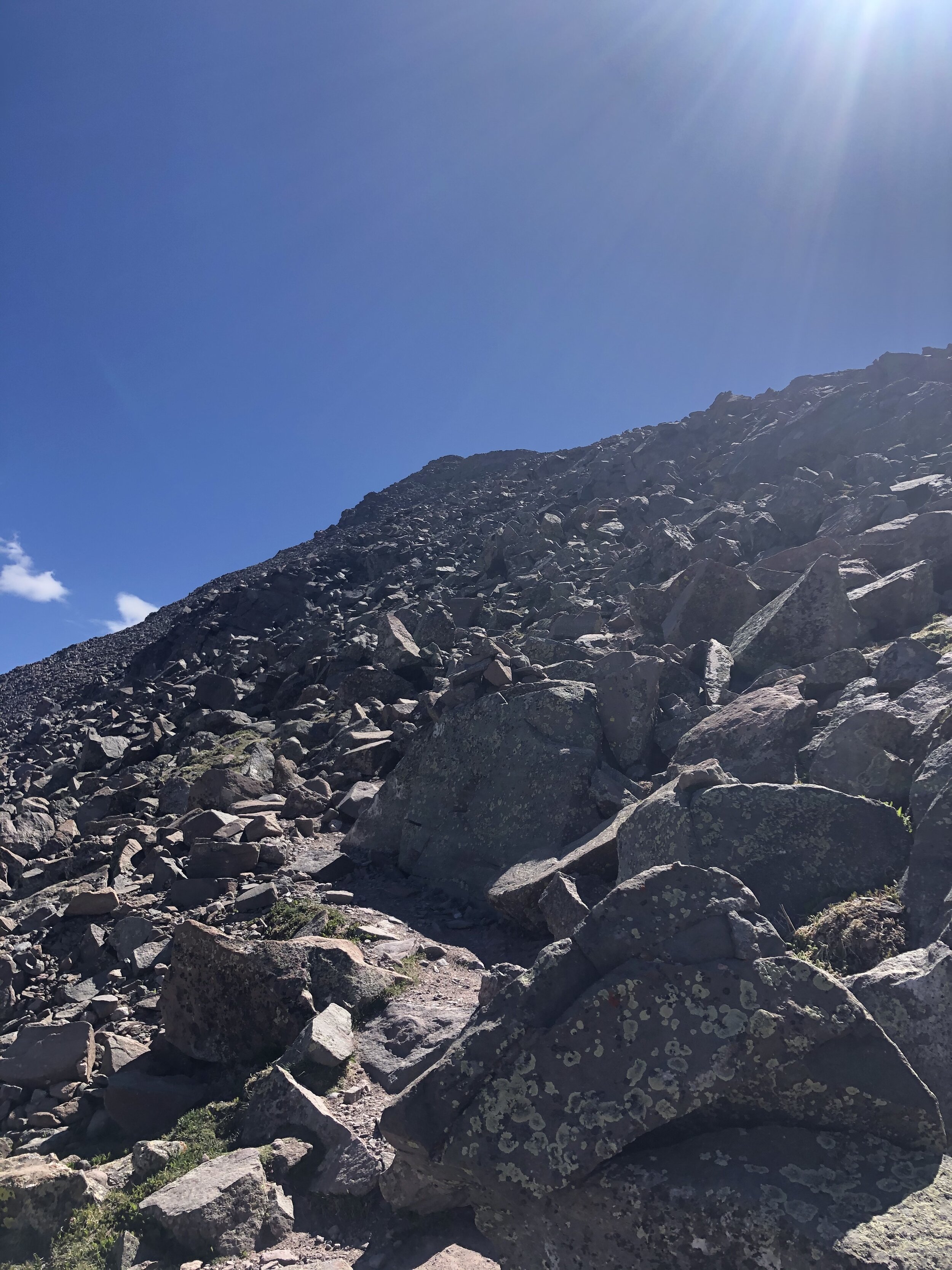
The next part of the hike had a trail for the most part…it was pretty rocky so that was fun. We went to the right of the false summit as we were told to do (shout out to my hiking buddy my dad yo). Soon, we were around/even with the false summit and could finally see Humboldt!! It was a quick trek from this spot to the false summit :)
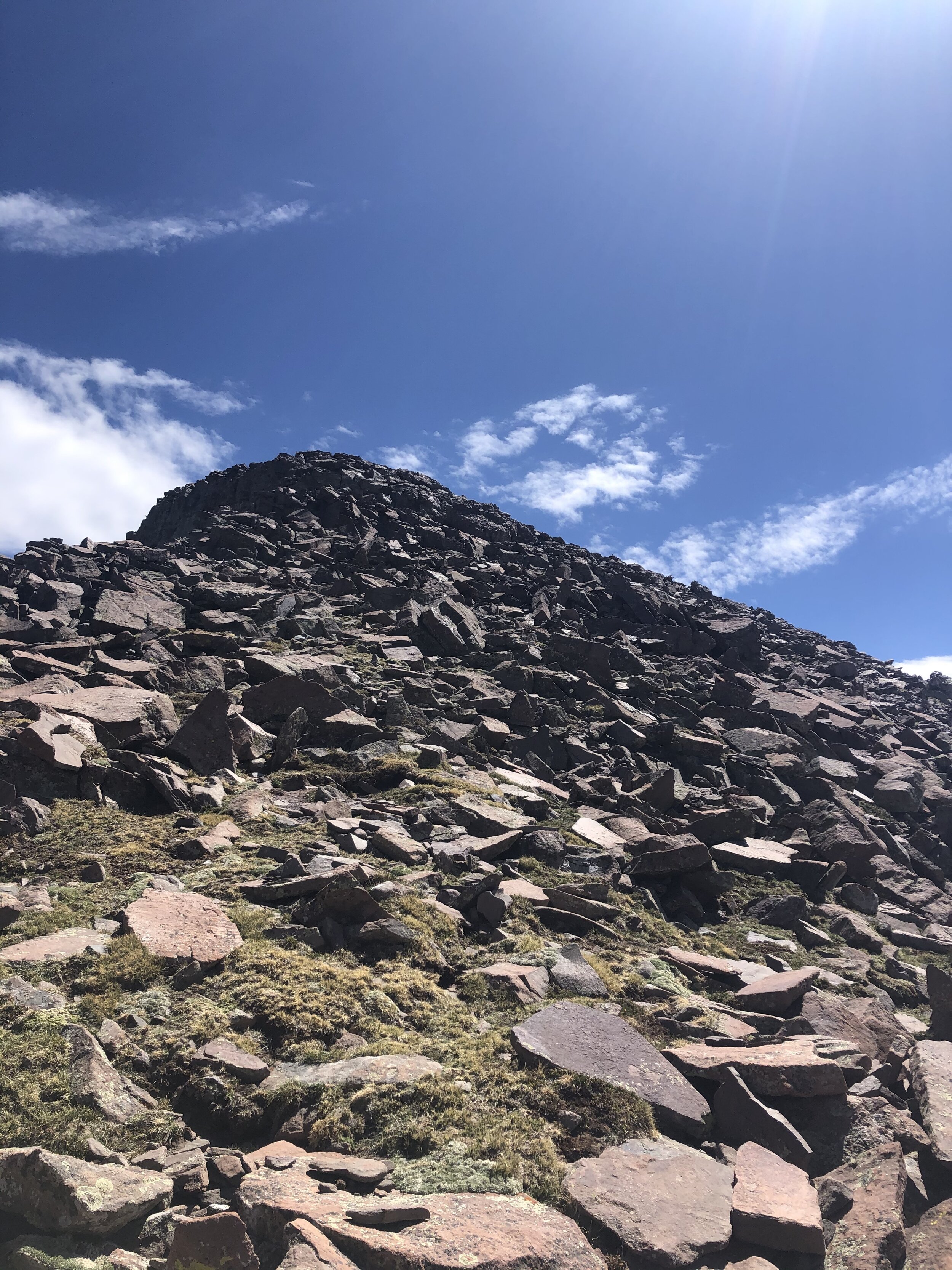
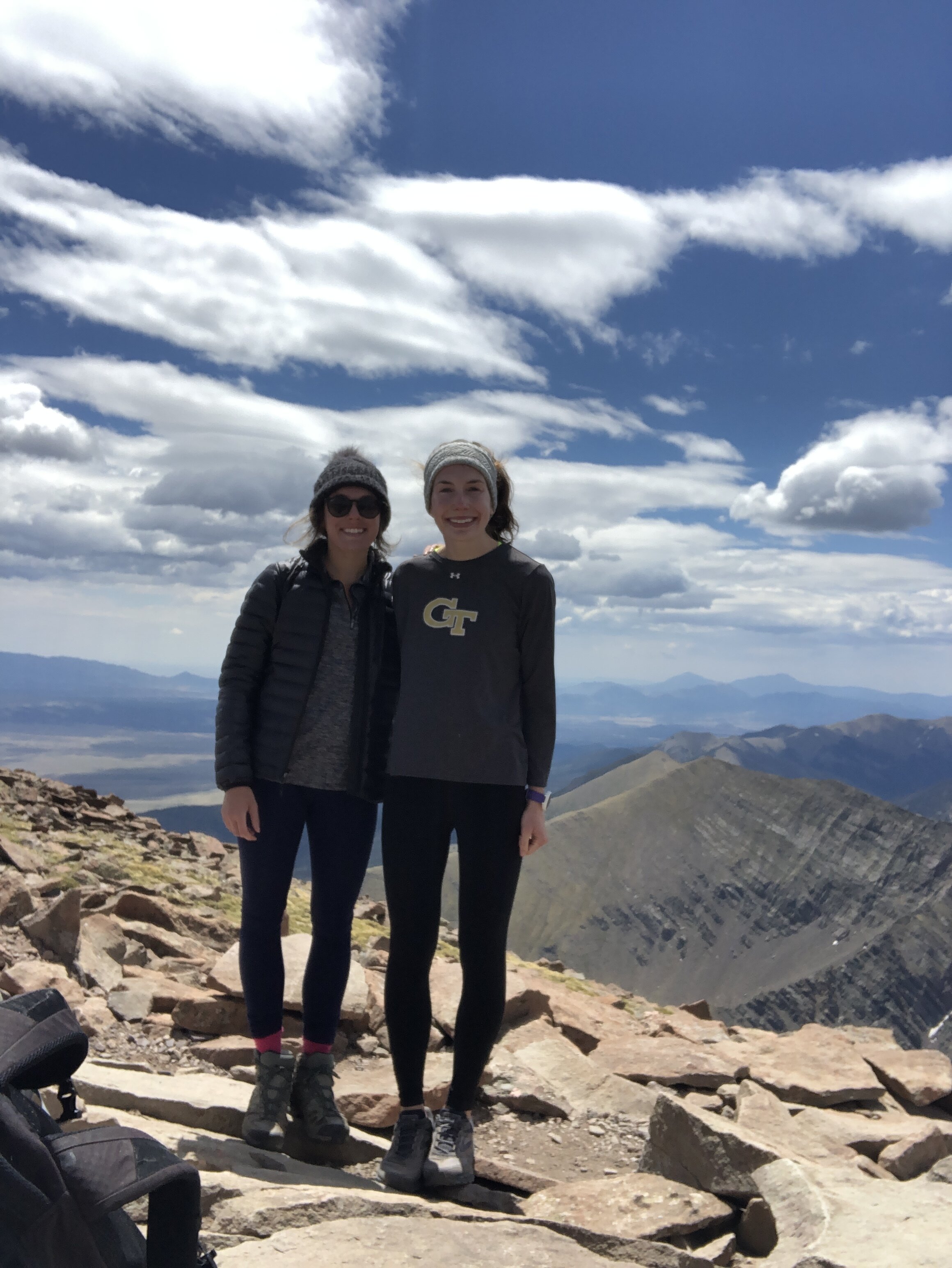
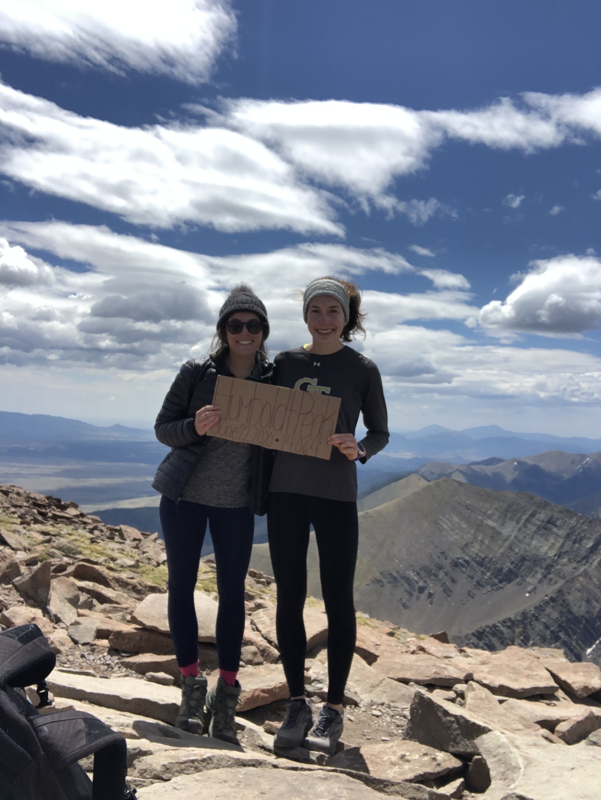
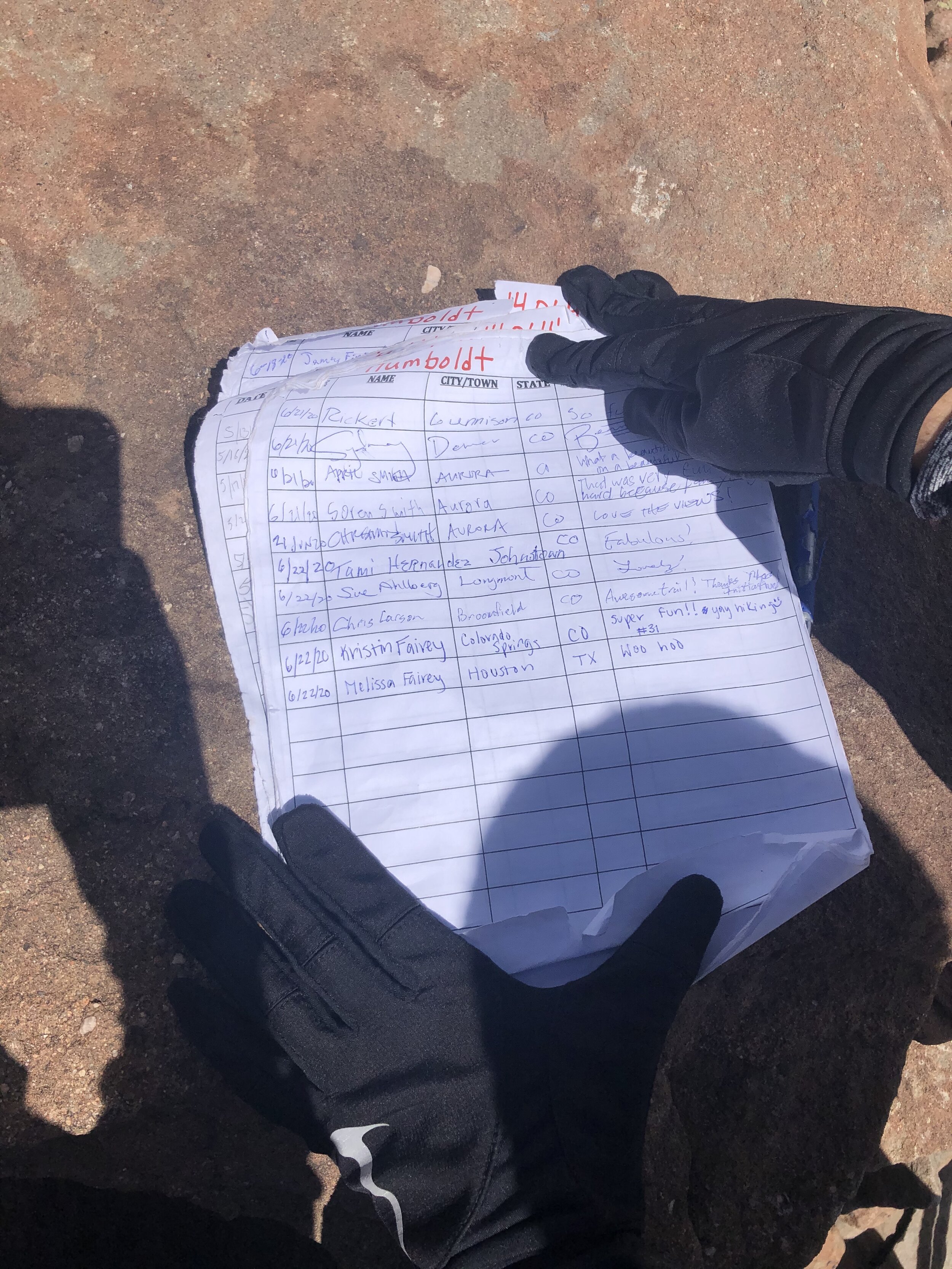
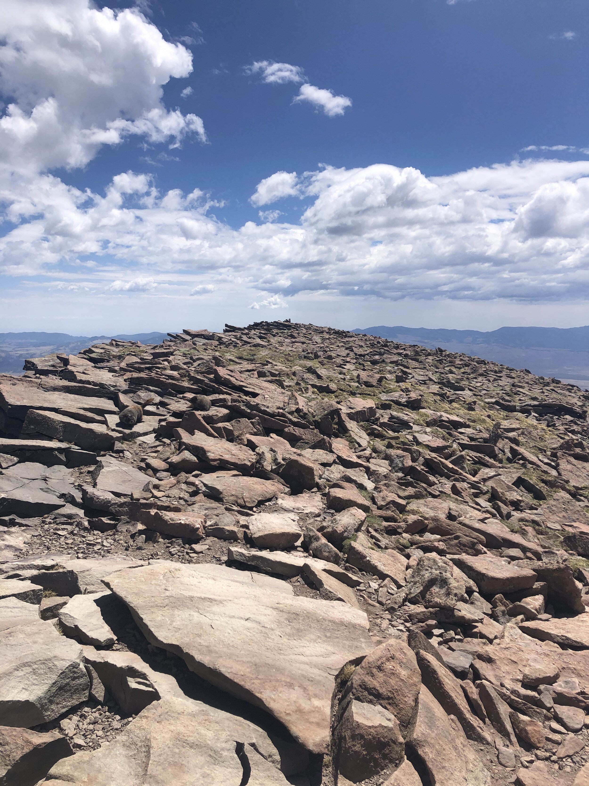
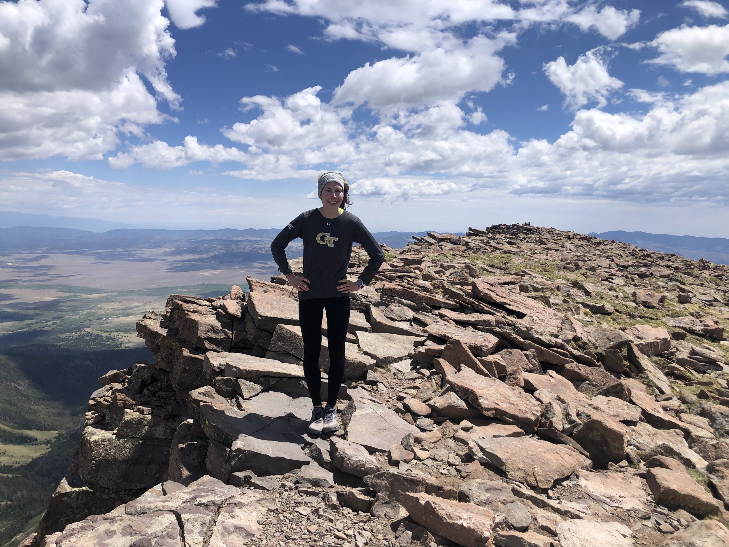
5 hours and 12 minutes/8.52 miles later, we reached the summit of Humboldt Peak!! We were the only people on the summit and chilled up their for 35 minutes. It was an exciting day—I got to sign a summit register which I have only done a handful of times! Most of the summits either don’t have them or there is no sign-in sheet in the tube. Anyways, the summit was pretty flat and rocky as ya can see below.
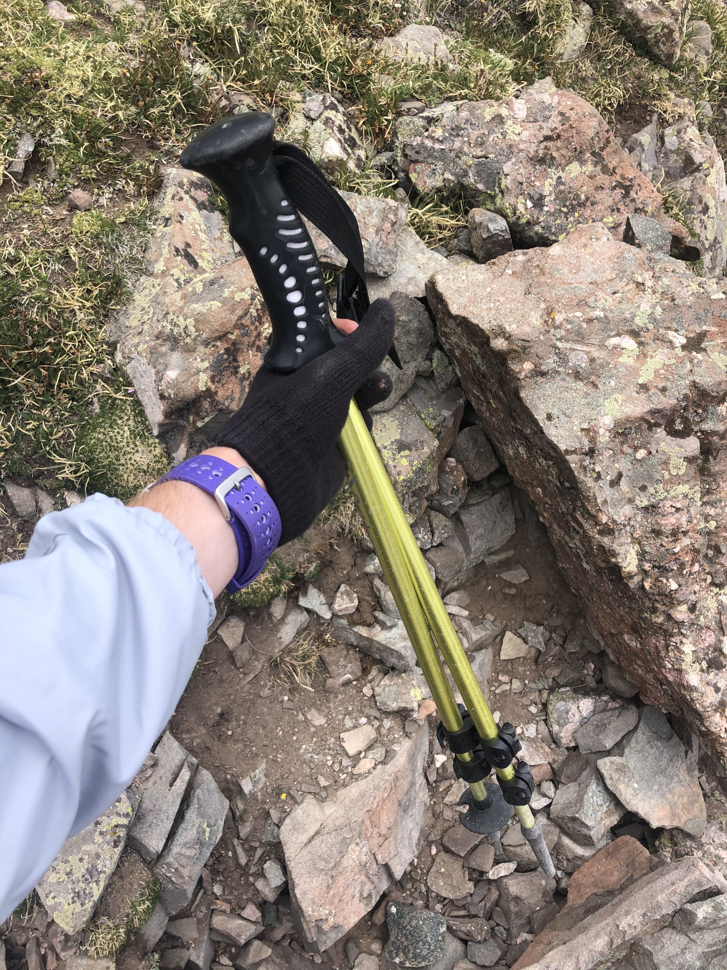
Soon enough, we started the descent. We definitely went a little off trail for a portion of the descent (probably from around 13,700’ to 13,300’), but it wasn't a big deal because no more exposure or dangerous I guess you could say haha. At that 12,900’ saddle that I mentioned earlier, I took out my hiking poles to use for the rest of the hike.
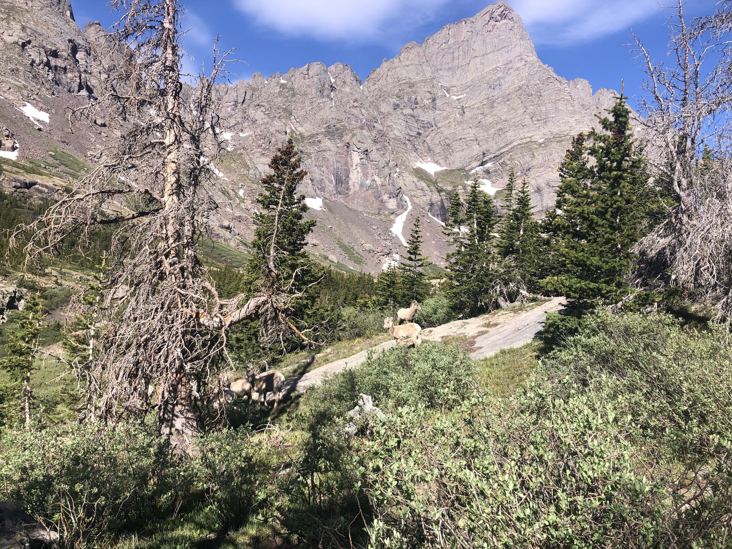
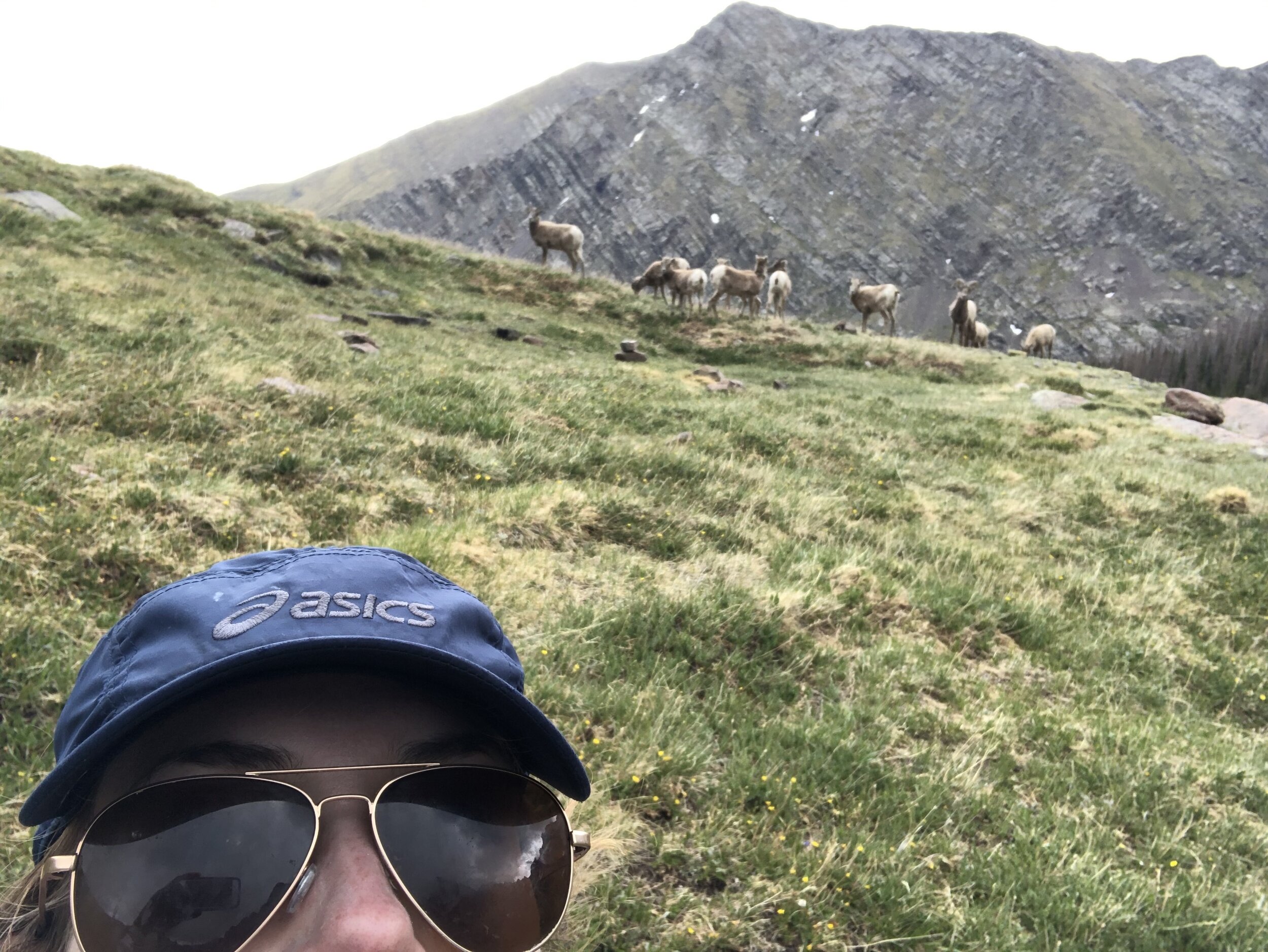
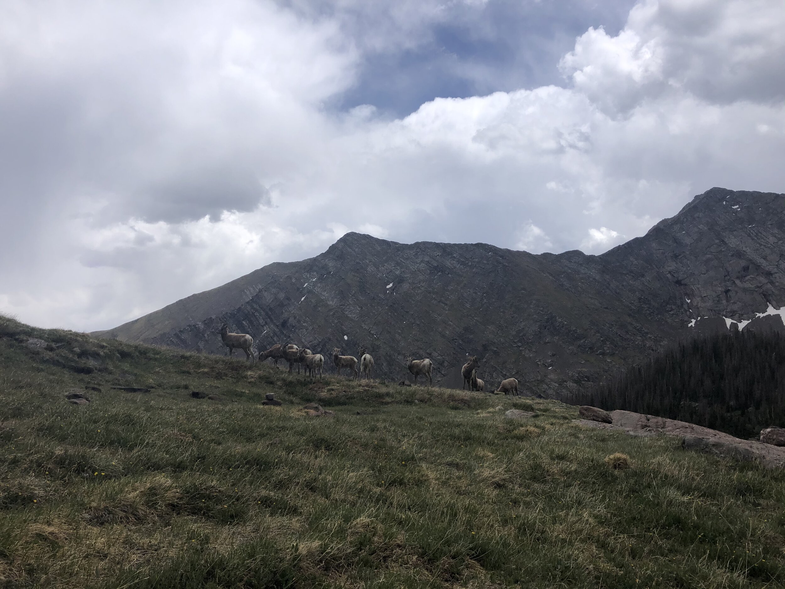
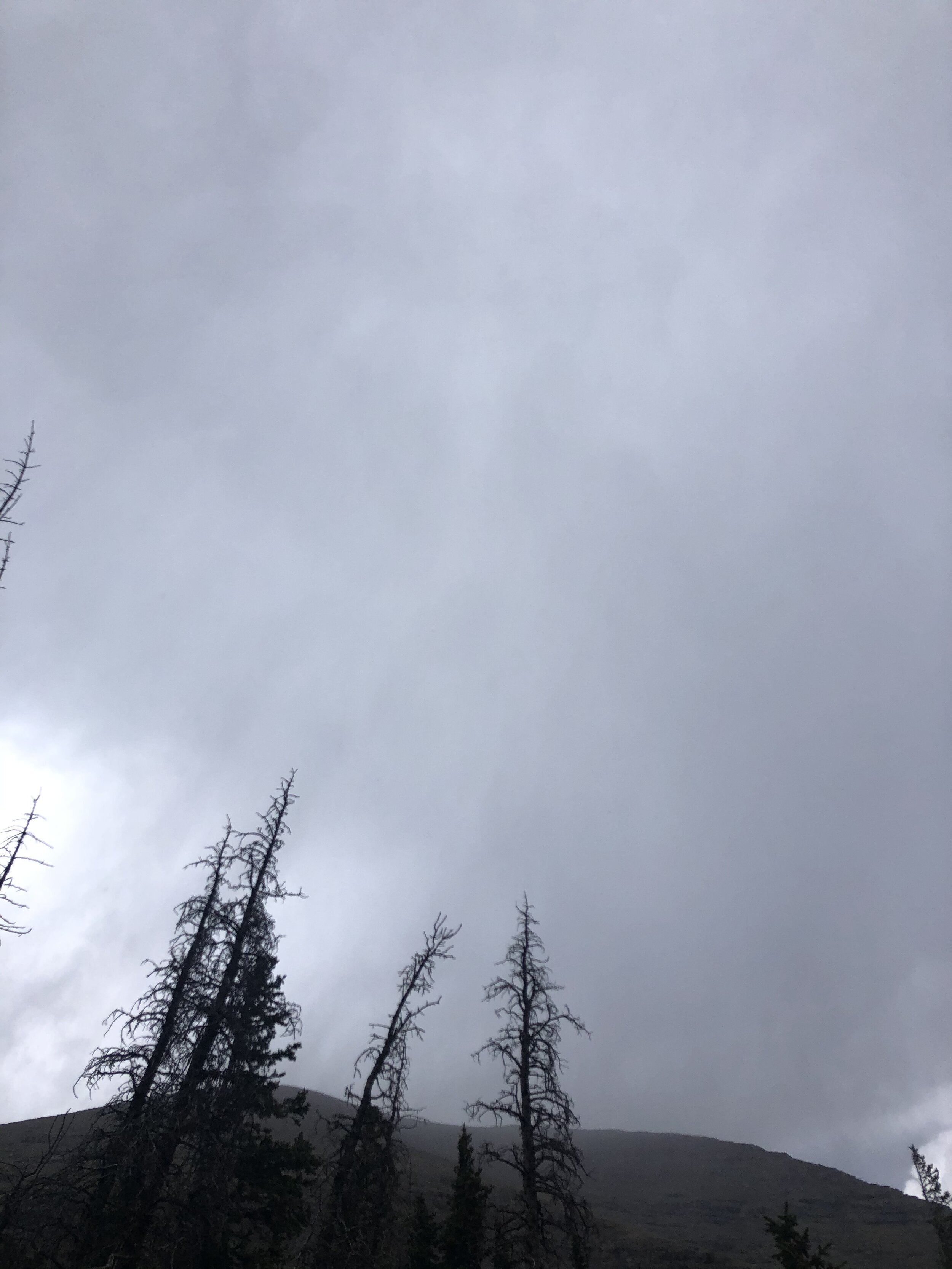
Nothing really eventful on the way down except that it started getting kinda dark, and rained/thundered! The highlight had to be taking a cool af selfie with the bighorn sheep squad in the background!!!!!!! ;)
It started raining harder once we got to the 4WD trailhead. It took us 49 minutes to get back from the 4WD trailhead to the 2WD trailhead where we started. We finished in the most amazing time ever—9 hours and 59 minutes!! Overall, this was my longest hike time-wise (but not mileage wise) by about 30 minutes. It was a weird, but welcomed change from the solo hiking that I have been doing the past few weeks.