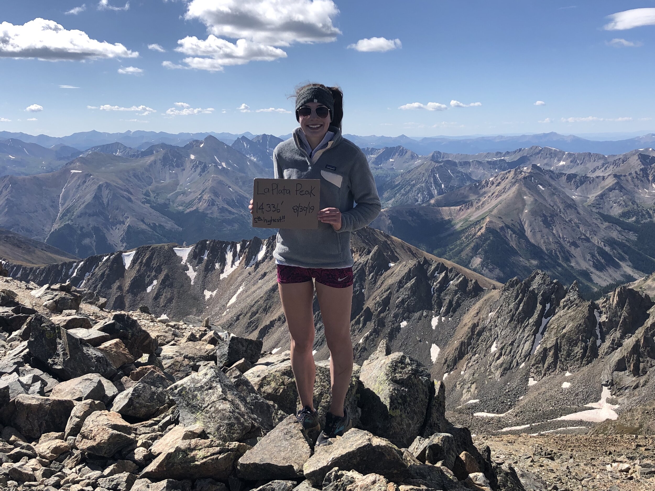
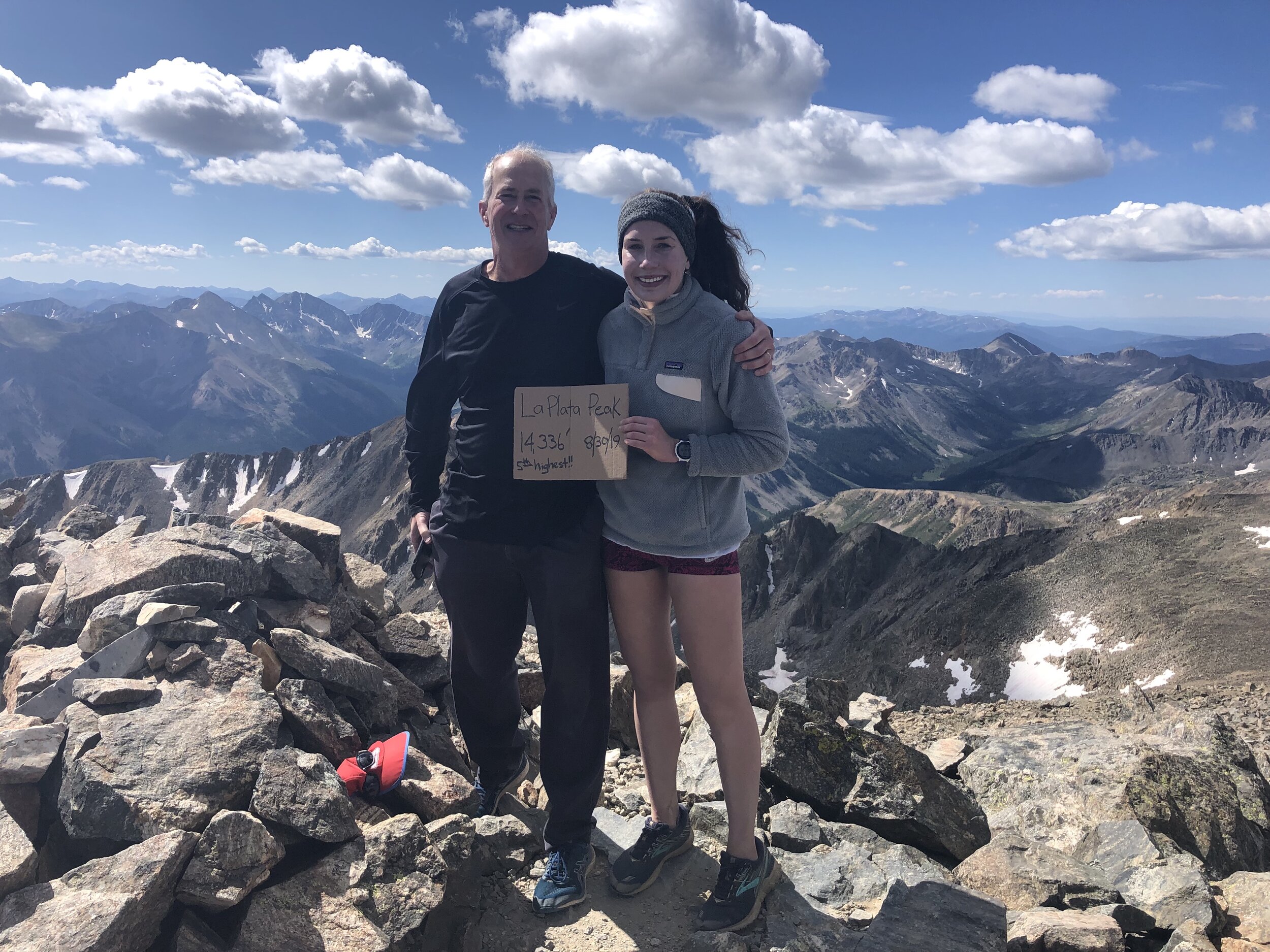
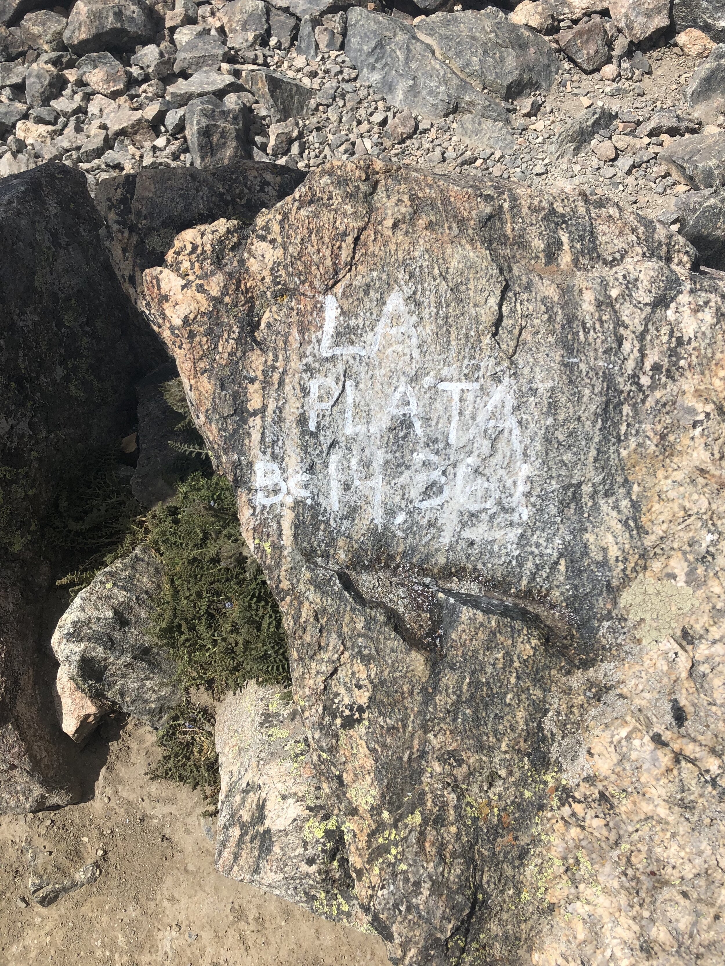
La Plata Peak
August 30, 2019 / 14,336’
RT STATS: TOTAL TIME - 7 HR & 20 MIN, 10.84 MILES, AND 4,002’ ELEVATION GAIN
TIME STATS: 3 HR & 31 MIN TO La Plata, 33 MIN AT SUMMIT, 3 HR & 16 MIN BACK TO car
RATING (HOW MUCH I LIKED THE HIKE): 7/10
All the way back in June probably (wow such a long time ago), I asked my dad about coming back to Colorado for Labor Day weekend to hike some 14ers. At this point in June, I had no clue whether I would be hiking this summer (and, even if I did, it would be for much shorter period of time due to recovering from my fractured foot). So, I decided to go ahead and ask my dad about this possibility. Fast forward to the first week of school (middle of August), I asked my dad again about flying out to Colorado for Labor Day and he said yes!
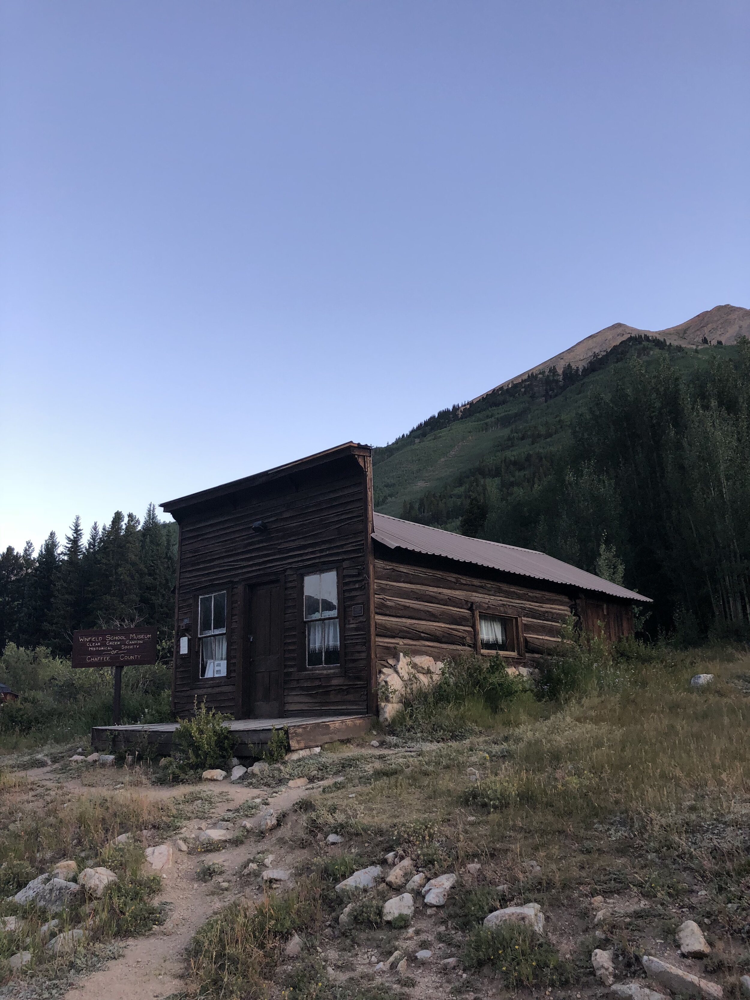
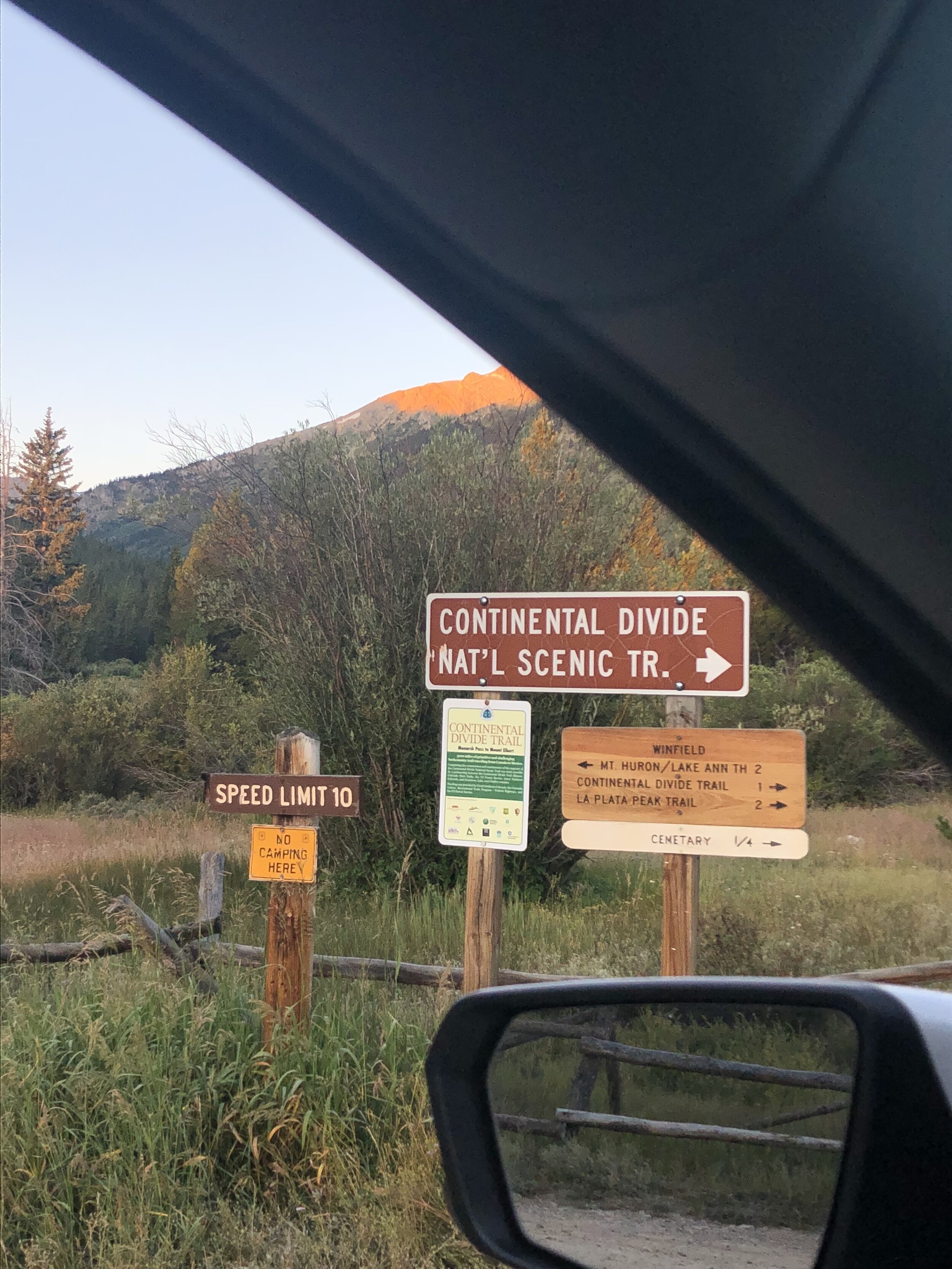
I flew out of Atlanta on Thursday night August 29th, the night before hiking La Plata. My flight left Atlanta at 9:30pm EST and landed in Denver at 10:45pm MT. I slept probably 3.5 hours last night (I’m actually writing this post right after hiking La Plata!!). We left for La Plata at around 4:15am. We hiked the Southwest Slopes route and parked 1.5 miles from the actual trailhead due to the road being an extremely rough 4WD. Good memories driving to the trailhead…the Missouri Gulch trailhead (for Oxford/Belford) was on the same county road (Chafee County 390). Starting a little back only added on about 600’ elevation gain to the hike (not bad).
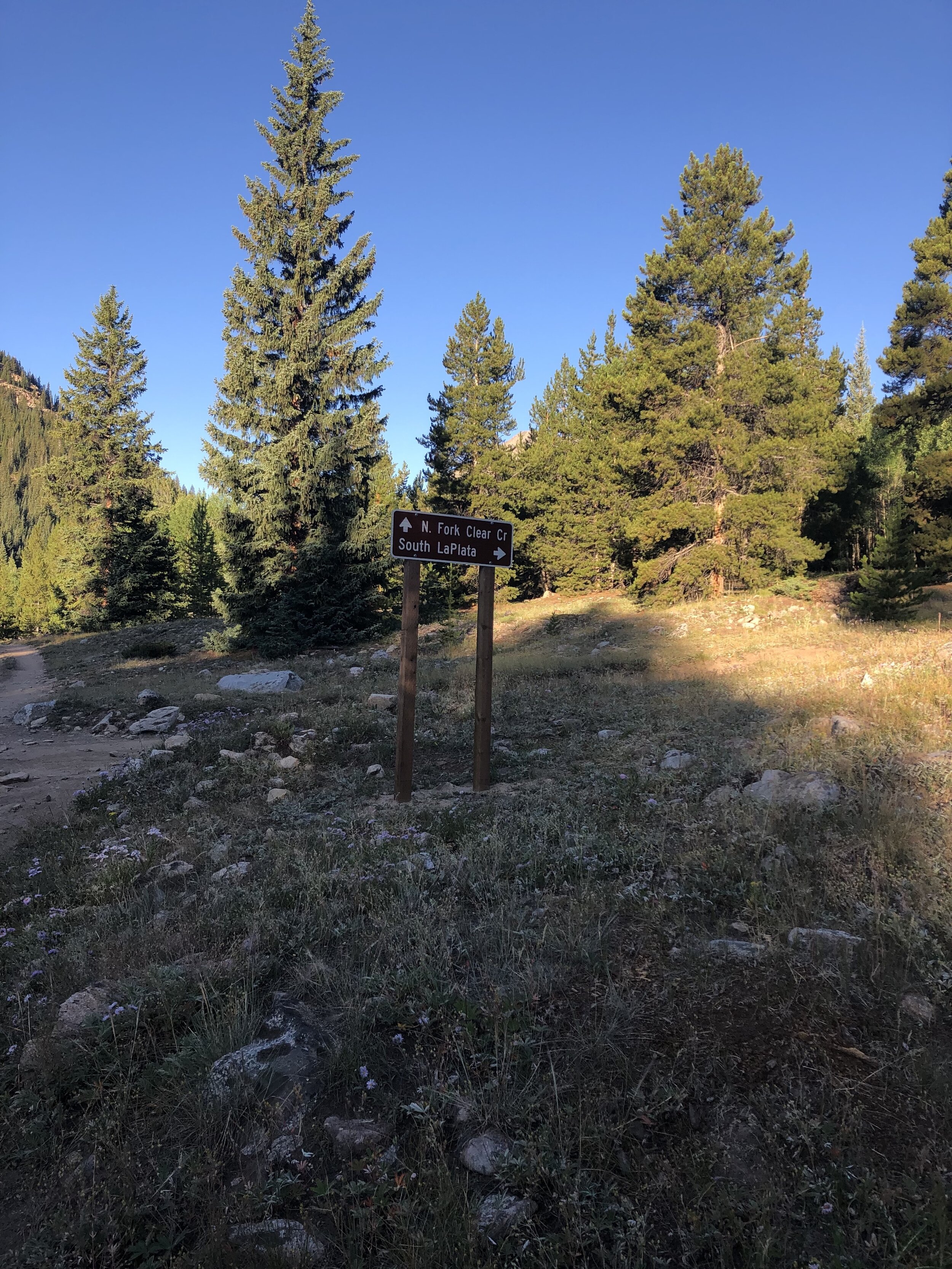
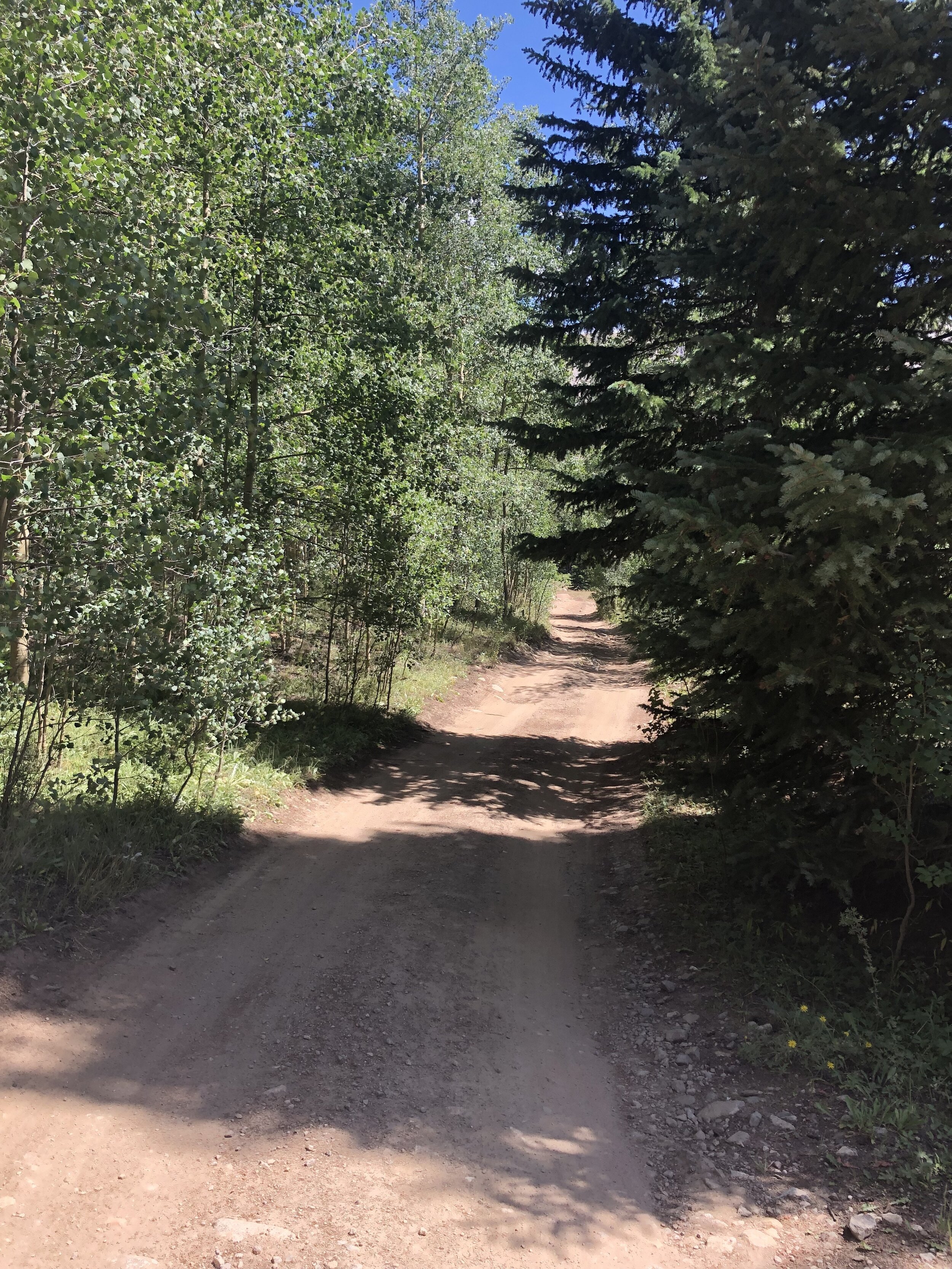
We started the hike at 7am. We just hiked along the county road for a little over 30 minutes before reaching the actual trailhead for this route to La Plata.
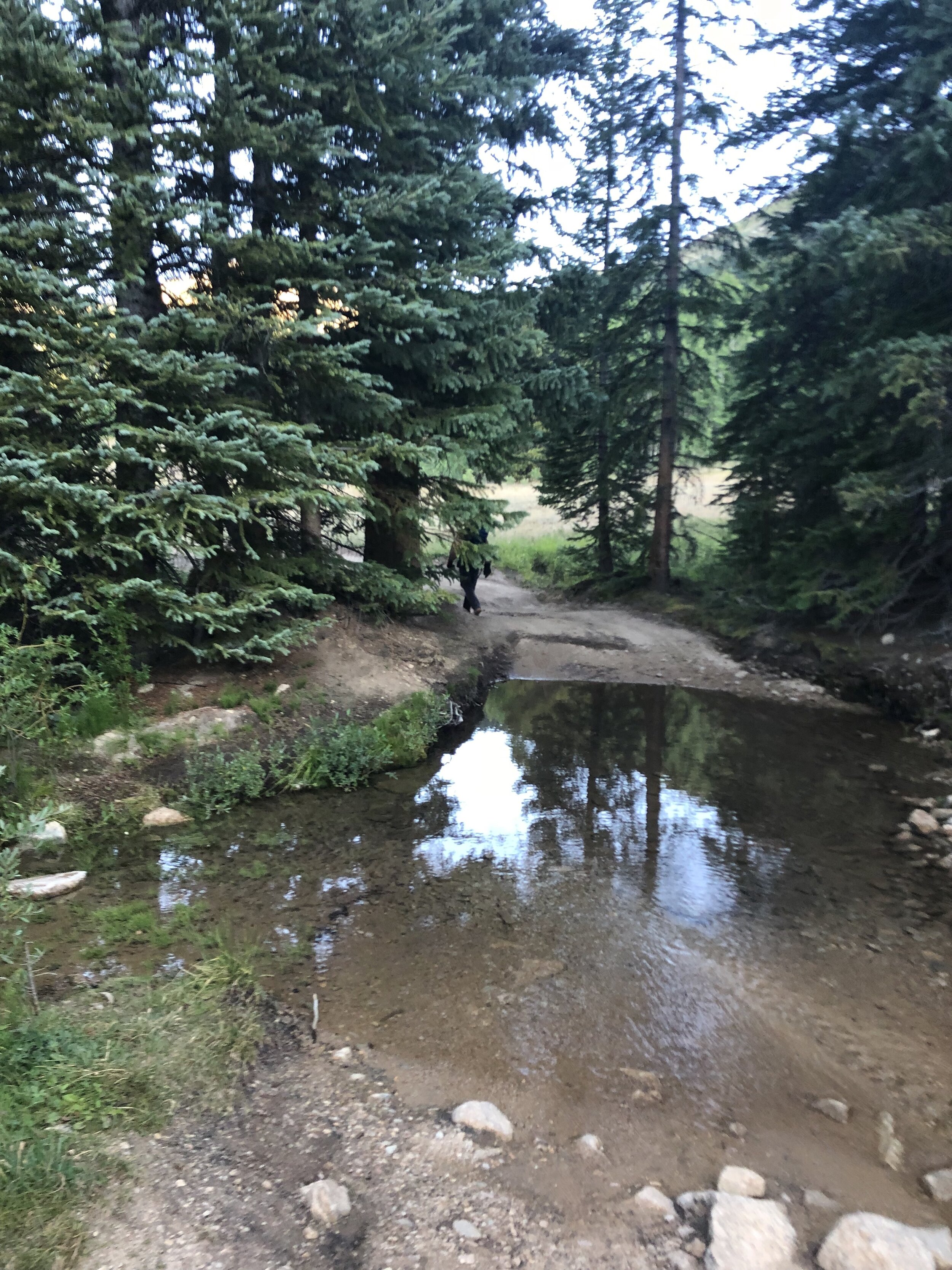
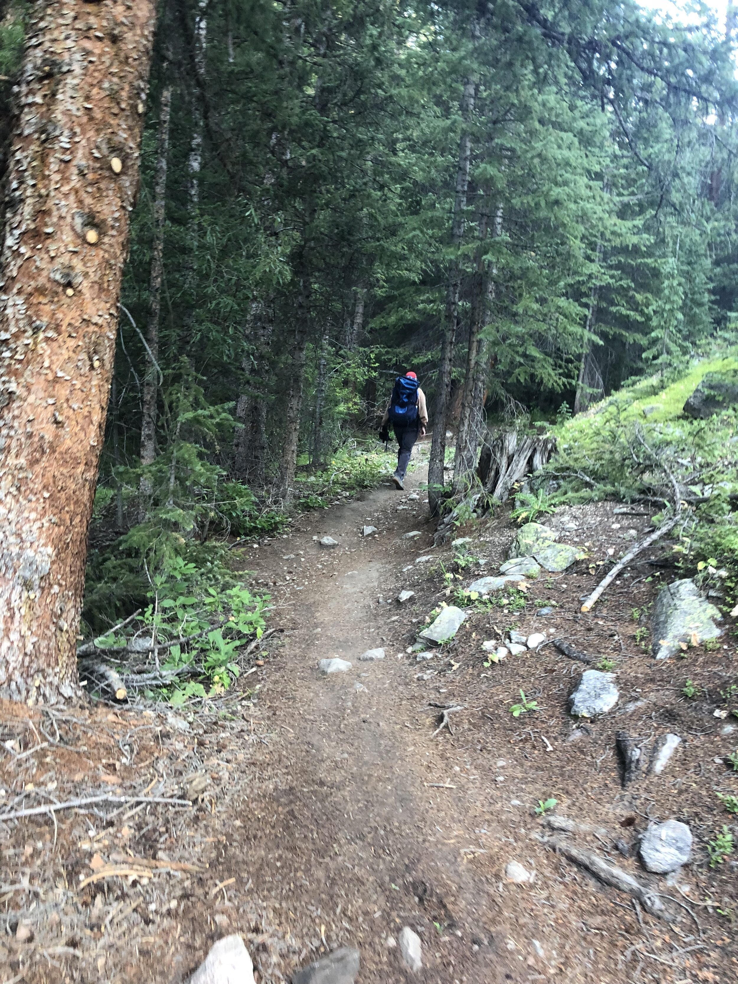
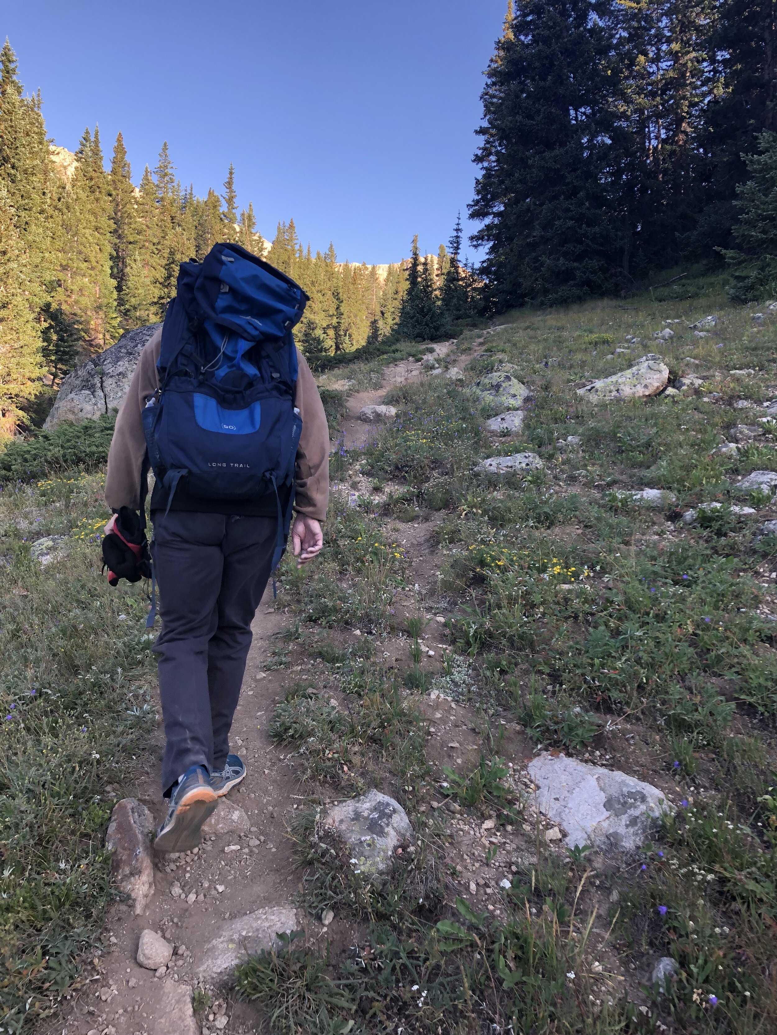
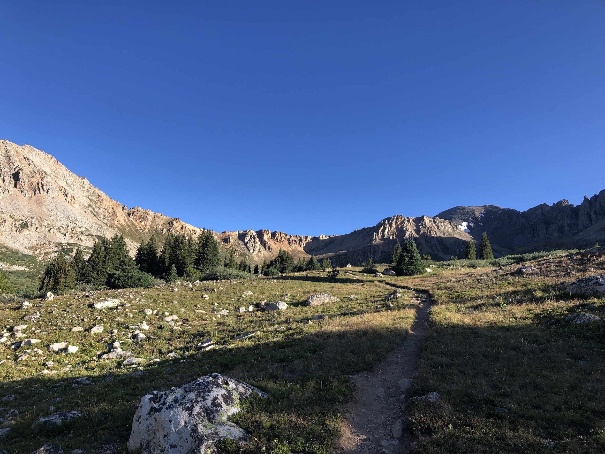
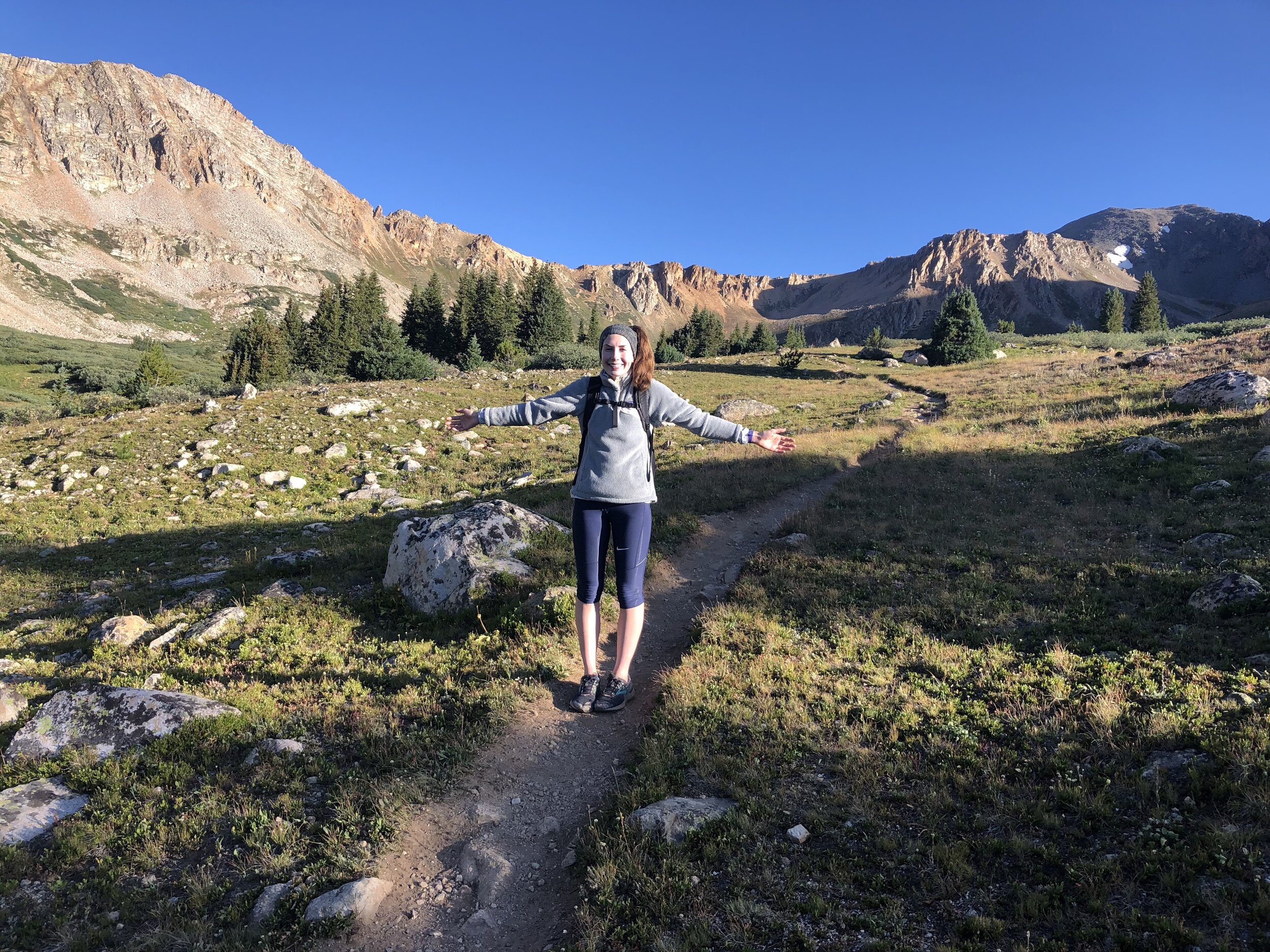
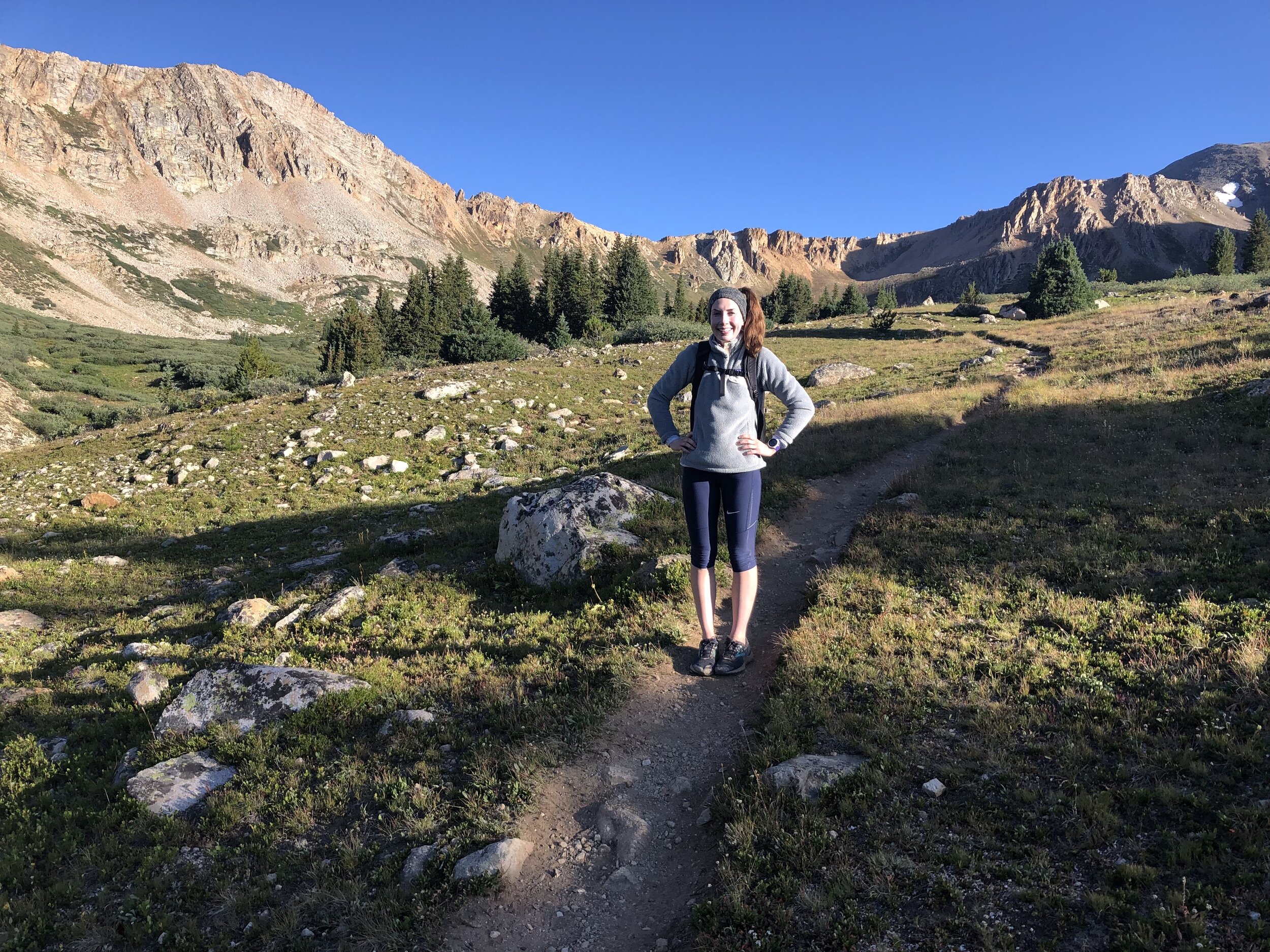
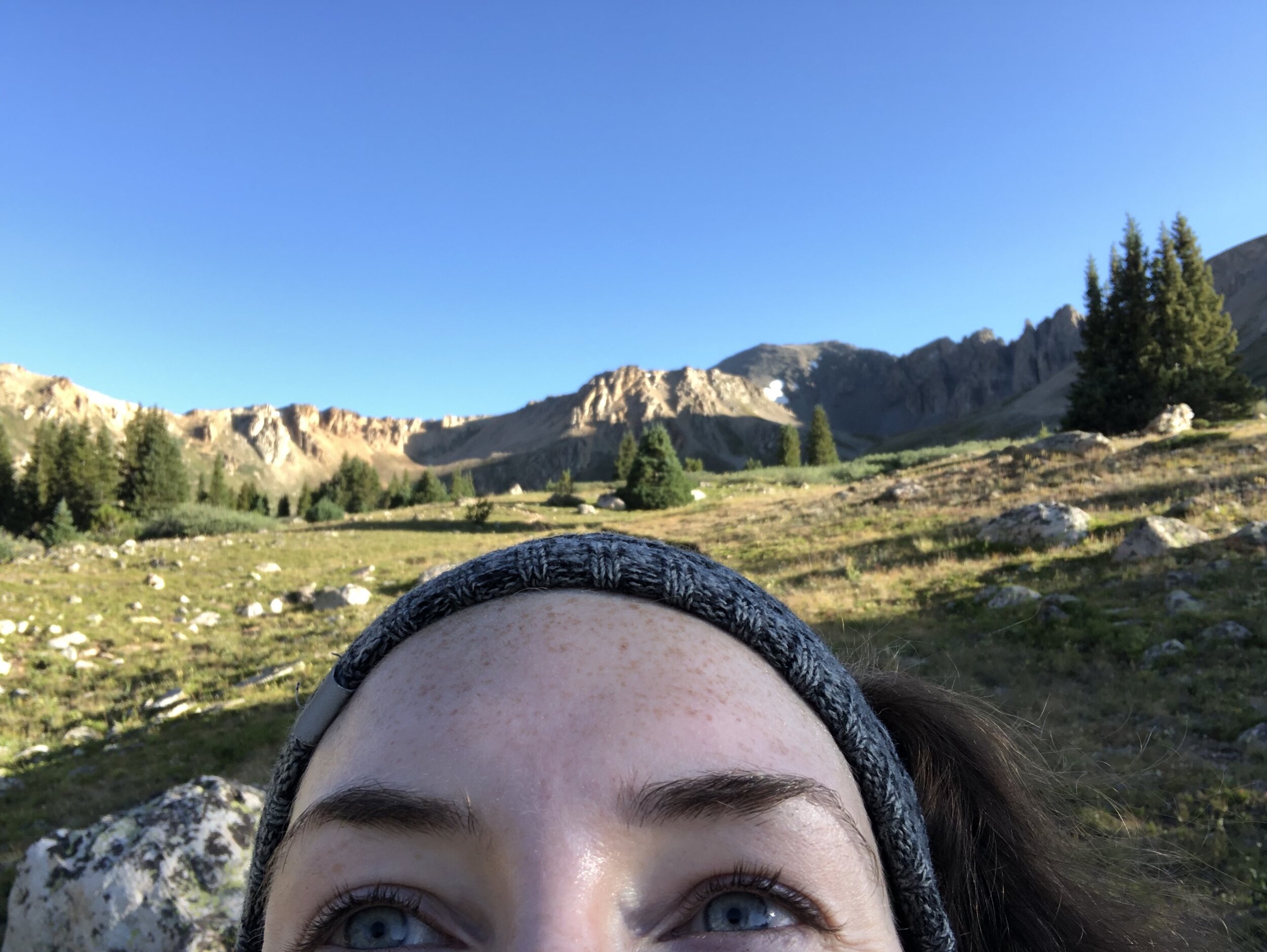
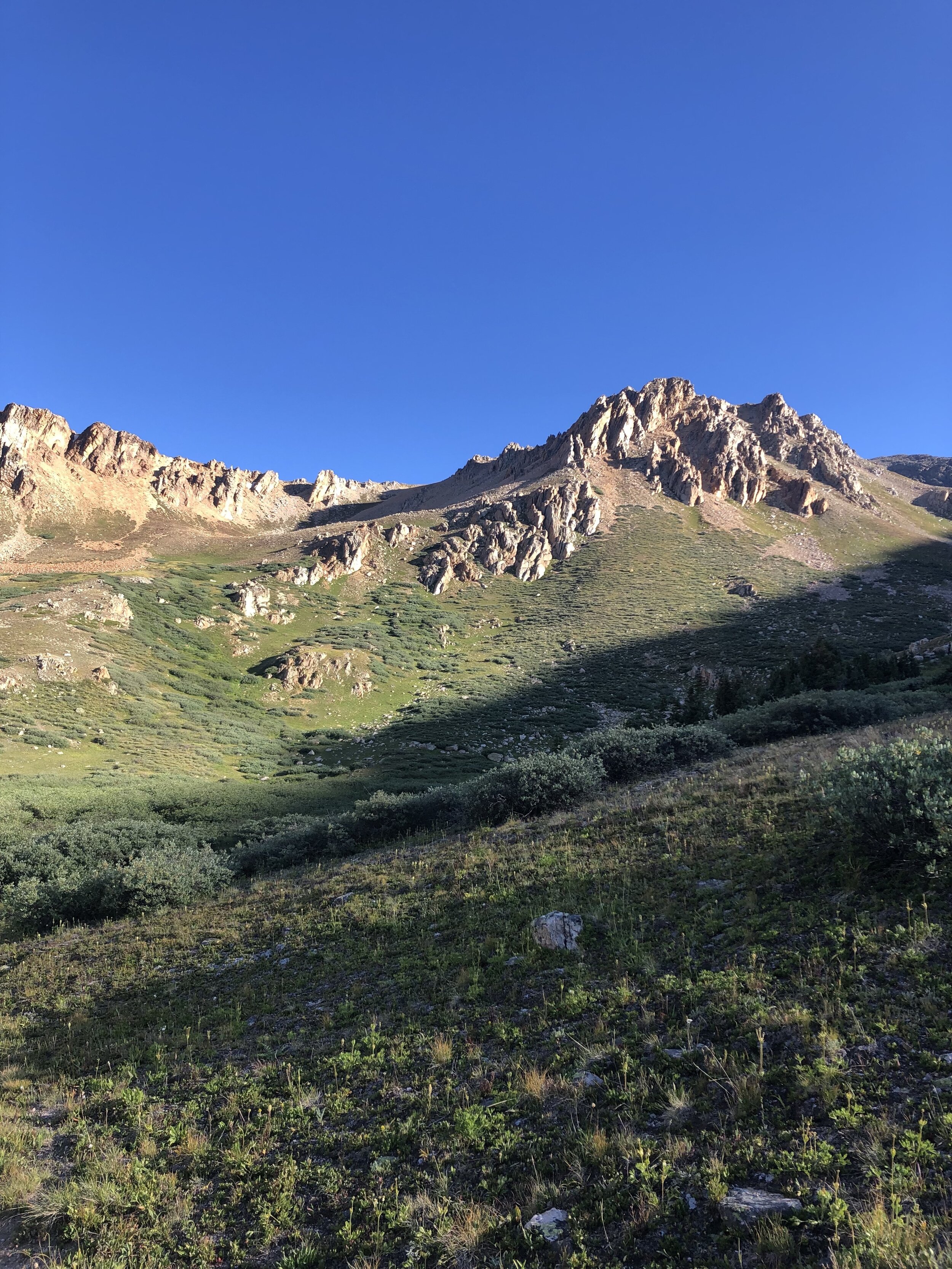
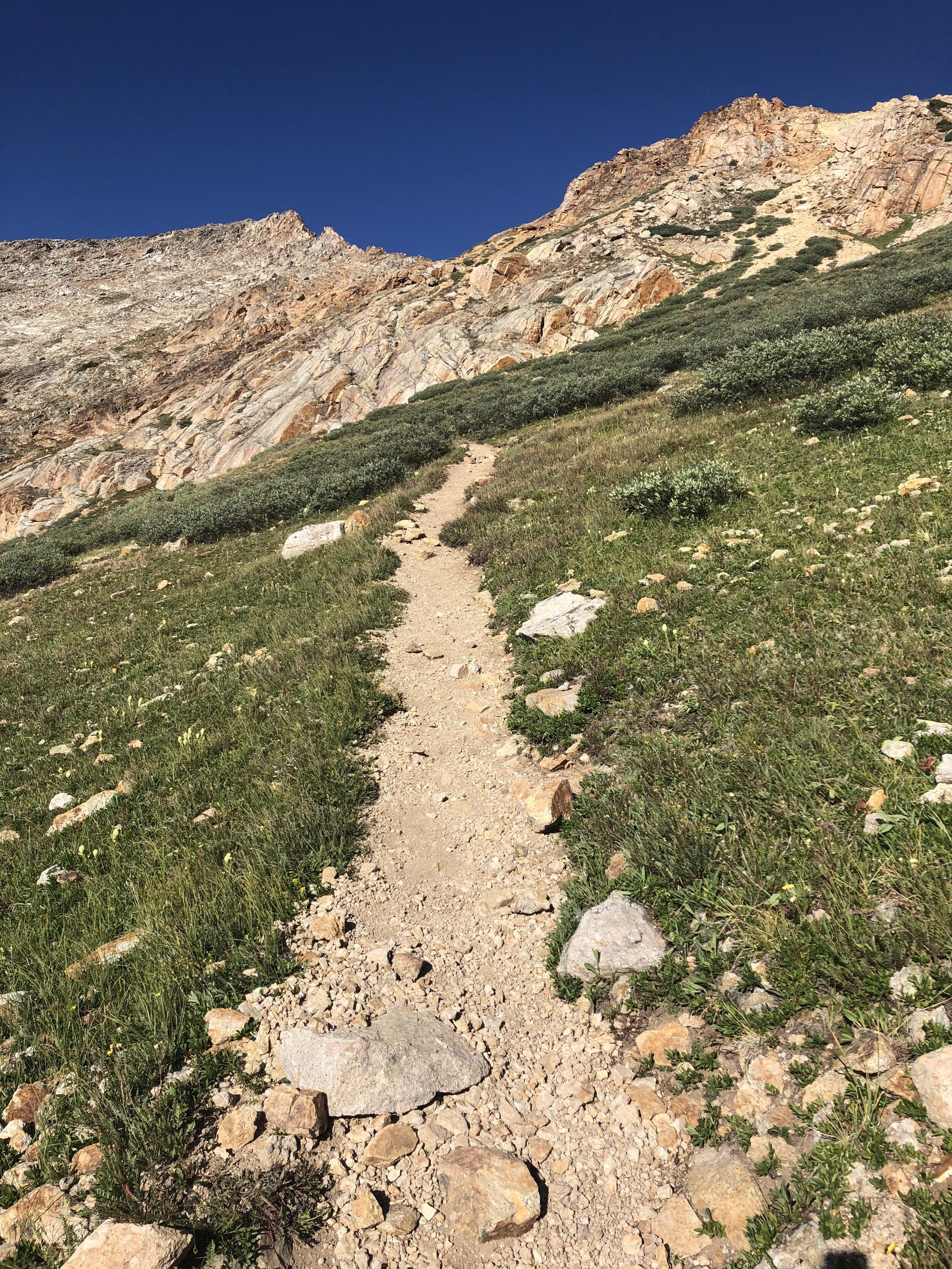
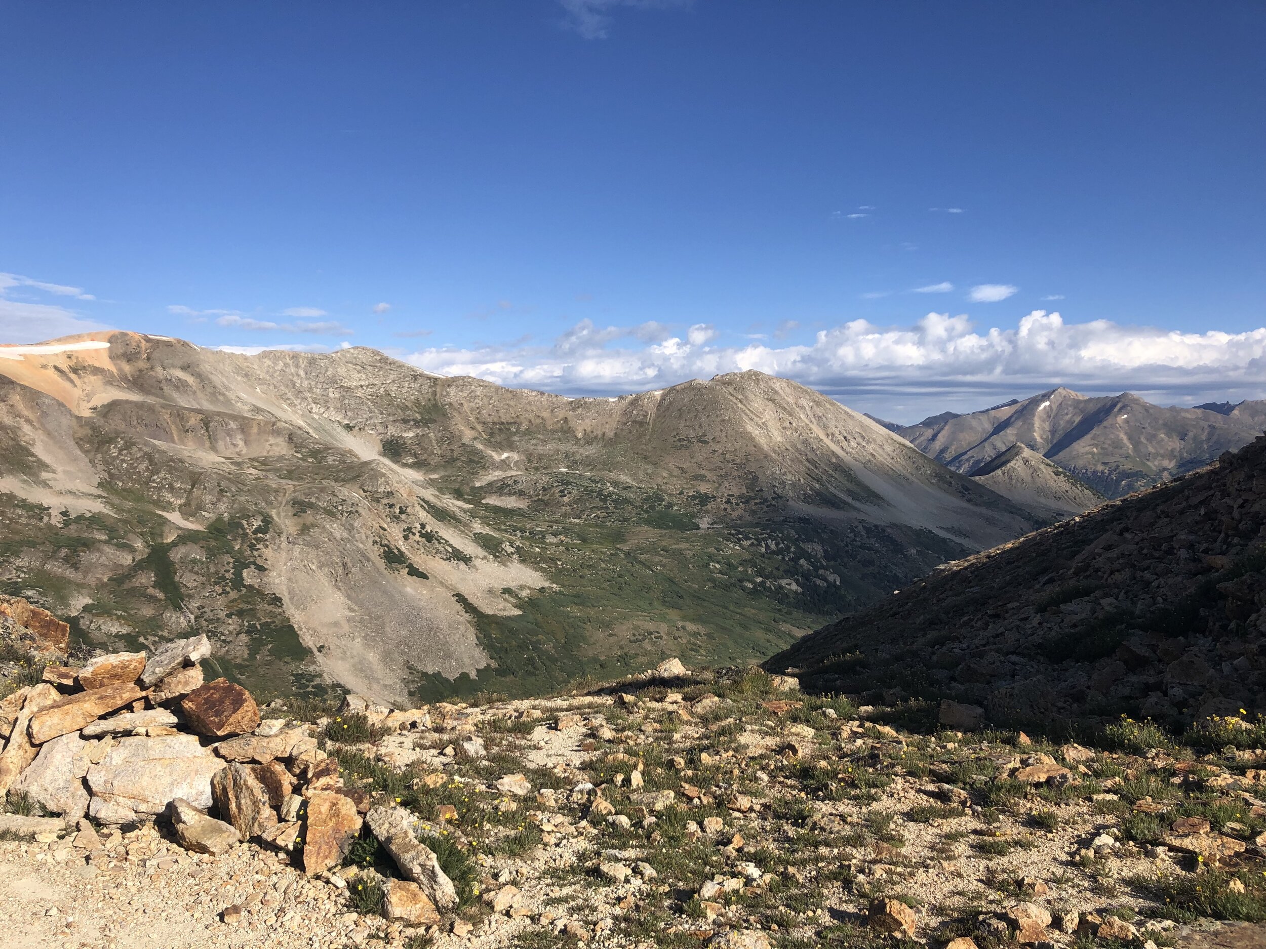
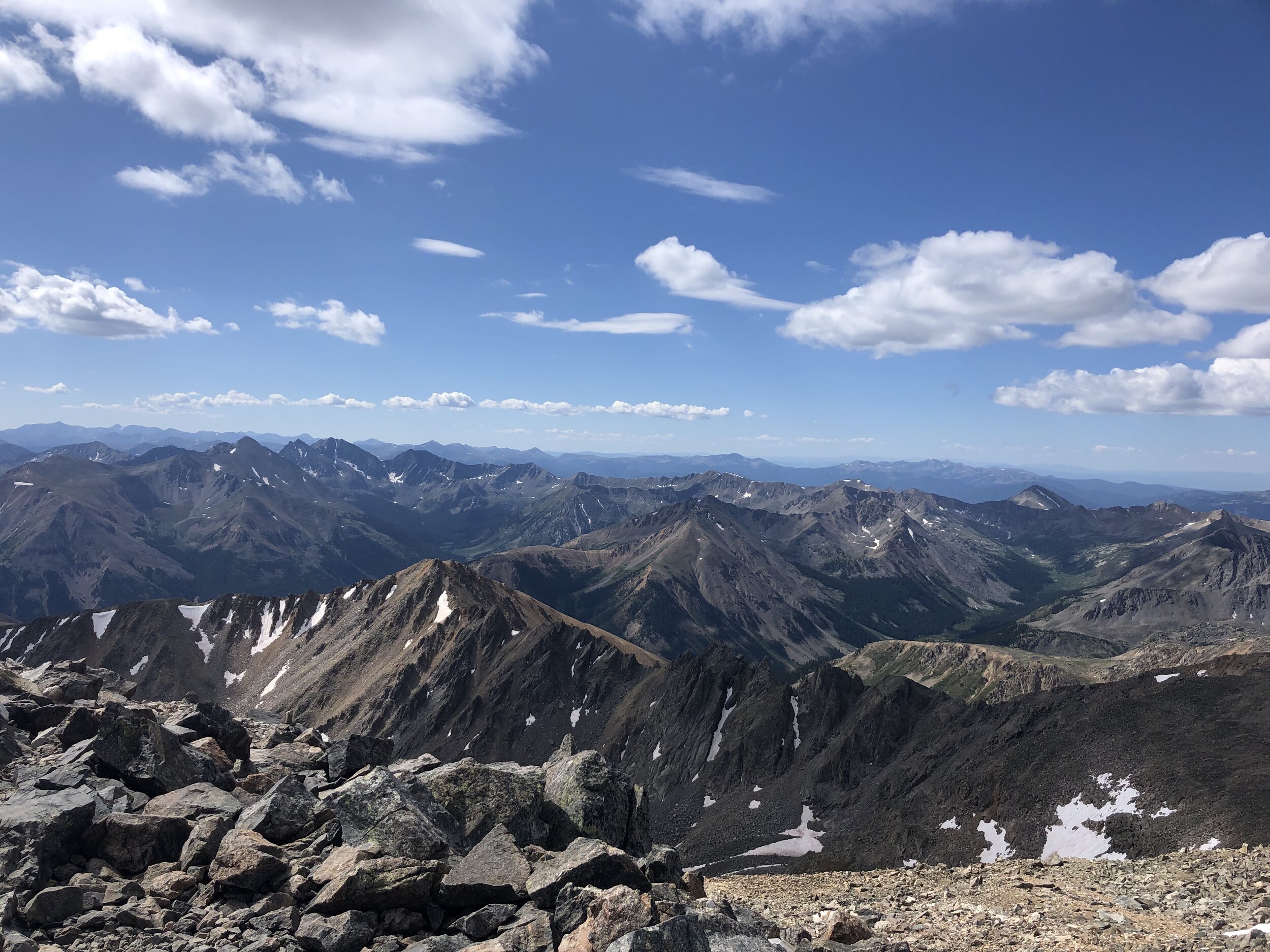
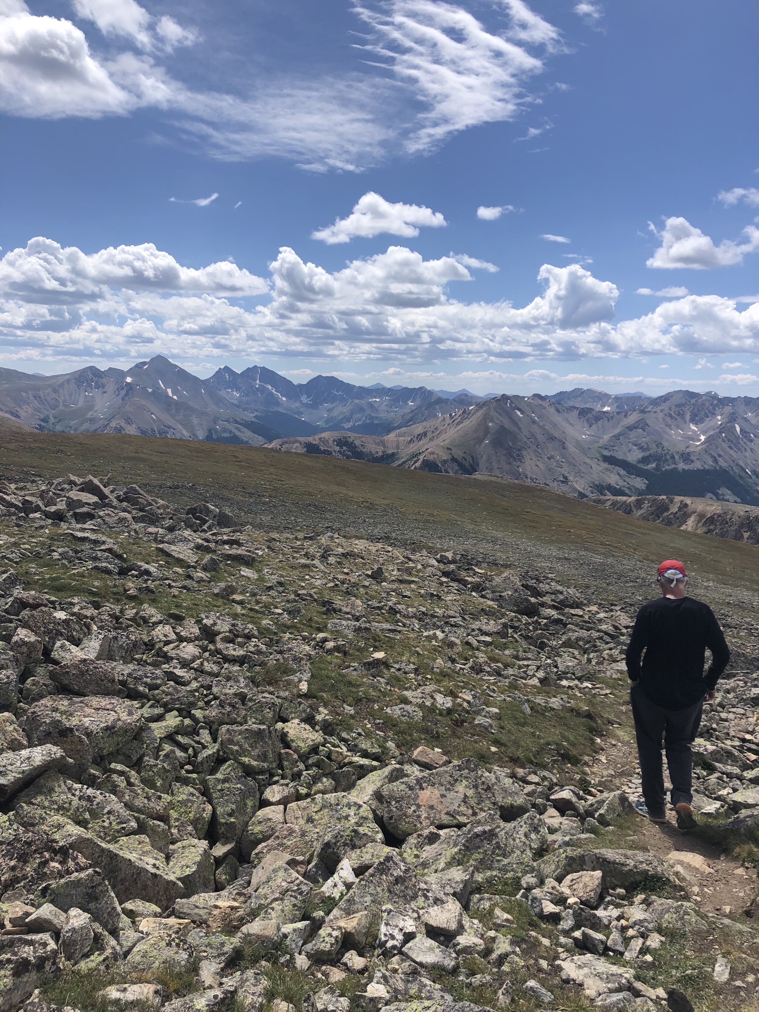
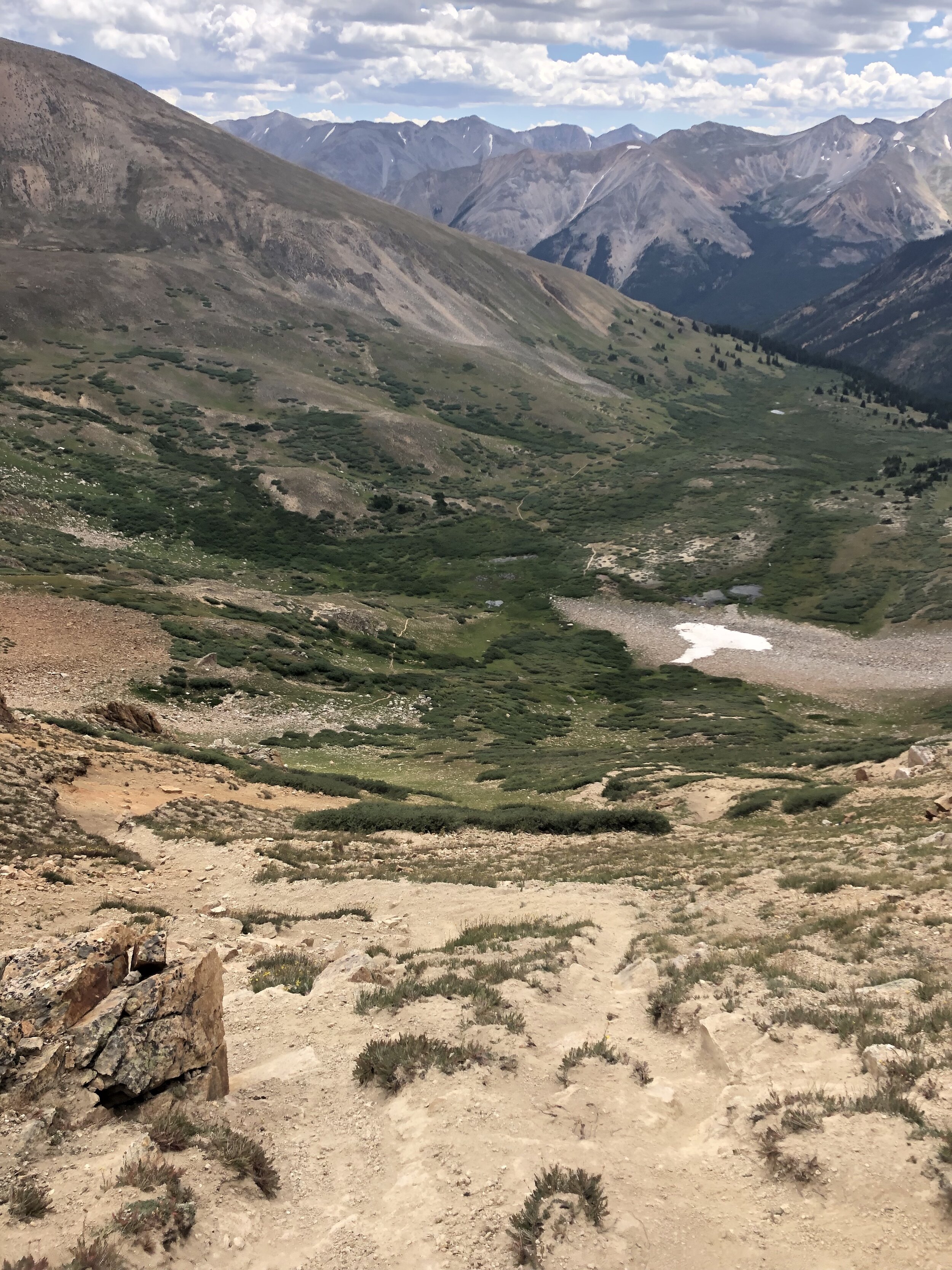
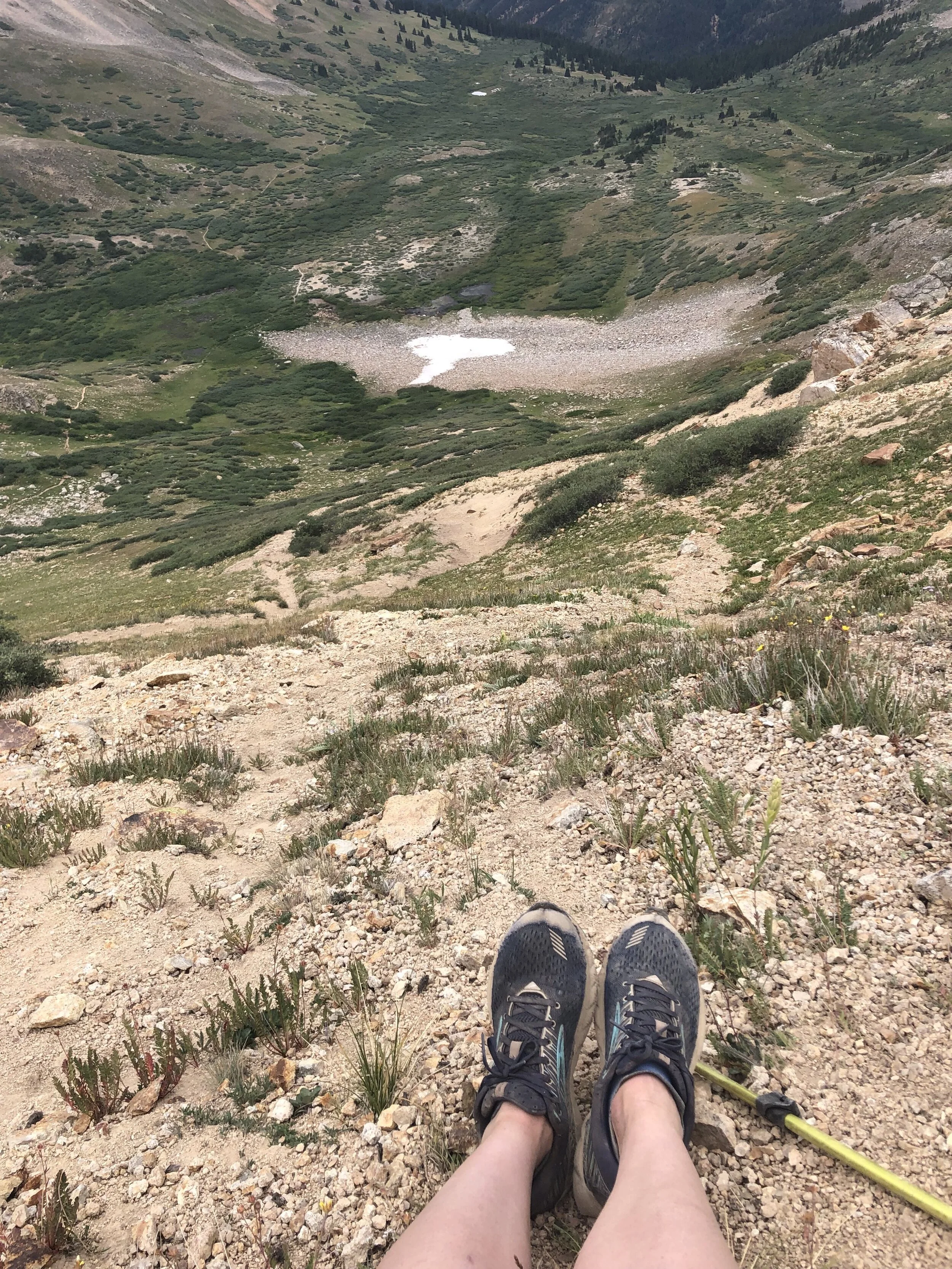
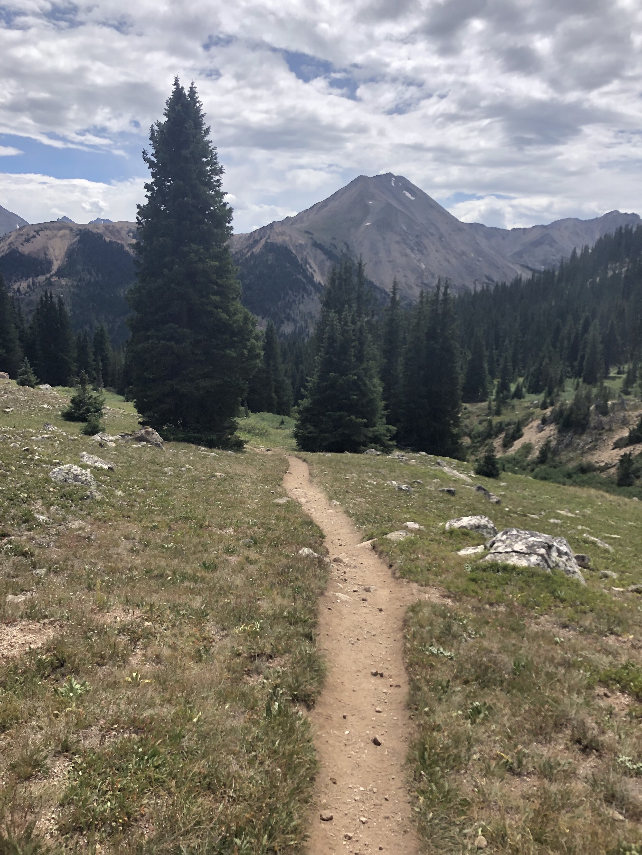
Once we got to the actual trailhead, the trail was just an uphill trail below treeline with a stream running alongside it. When we got to about 11,800 ft. elevation, we were above treeline and the views were absolutely incredible. This mile of the hike was relatively flat as we were hiking through a basin.
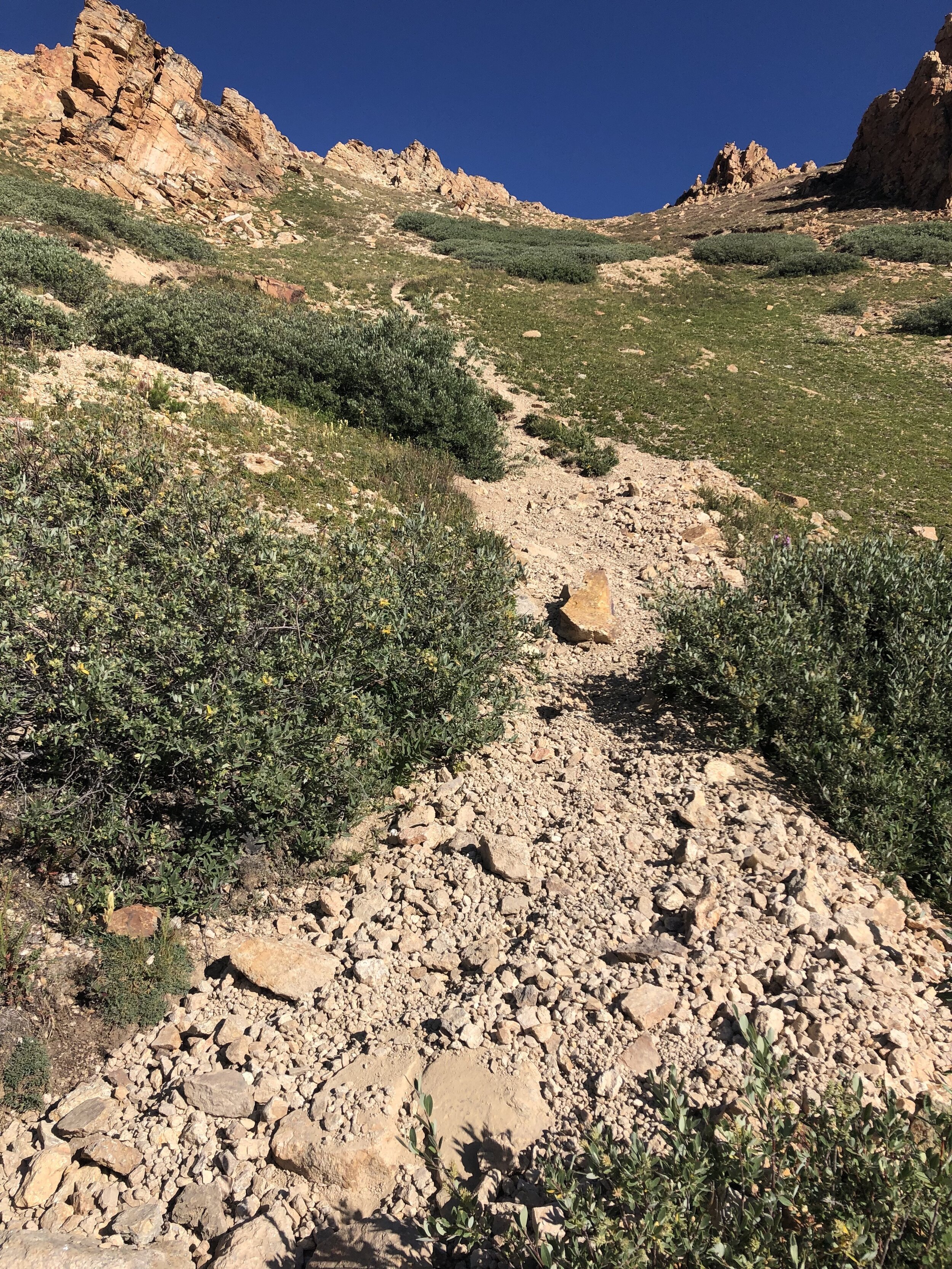
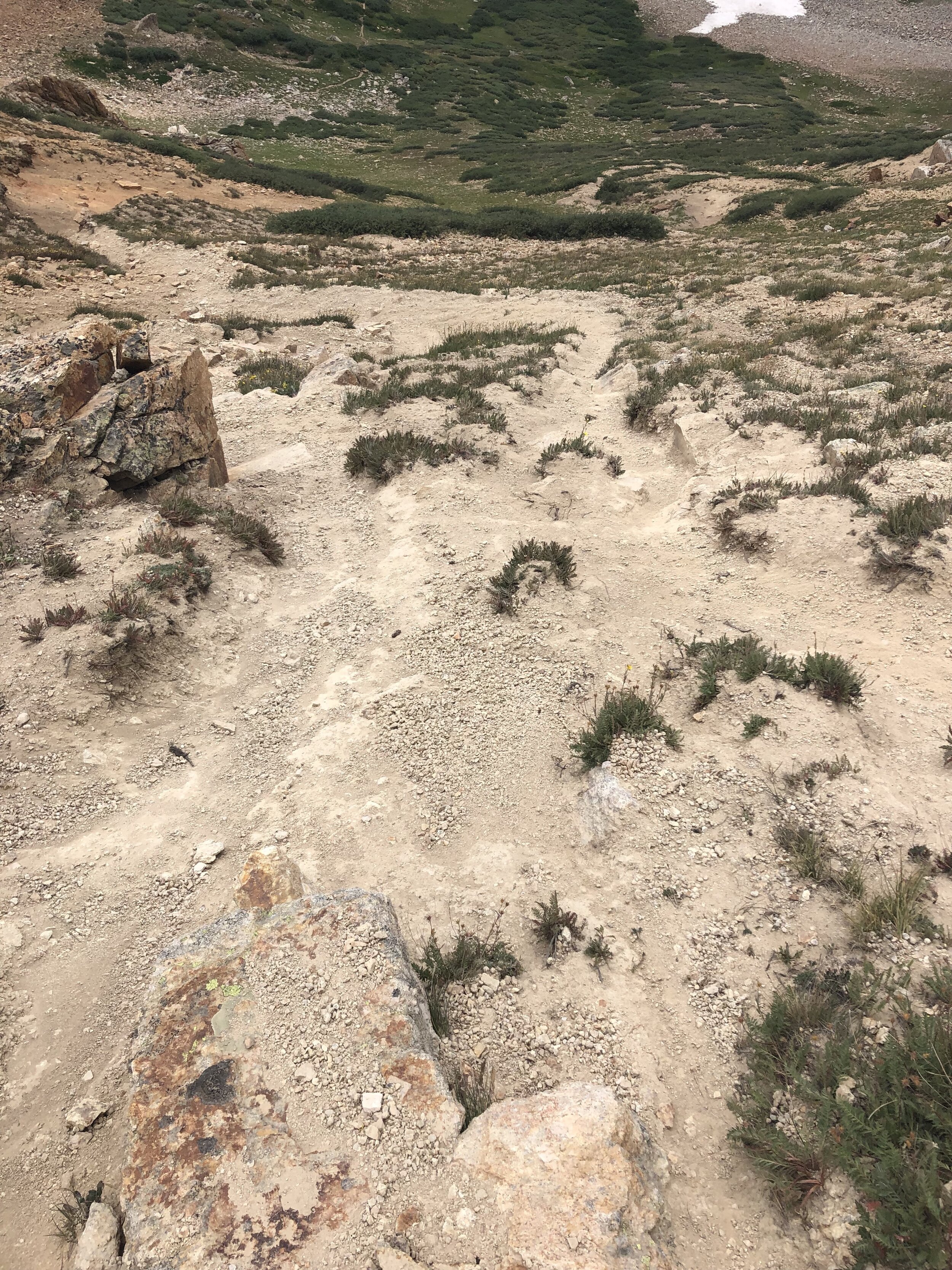
The toughest park of the hike occurred between 12,000 ft. elevation and 12,800 ft. elevation. This part of the hike was steep with loose scree. I didn’t take any good pictures to show the very steep sections. About halfway this gully, I fell flat on my face because my feet slipped from beneath me. Keep in mind that I even had taken out my hiking poles right after the start of this steep section and still fell!!!! At least when I fell, I did not break another pair of aviators yayyyyyy!
It was nice to finally escape the loose scree and have a relatively flat portion of the hike for a bit.
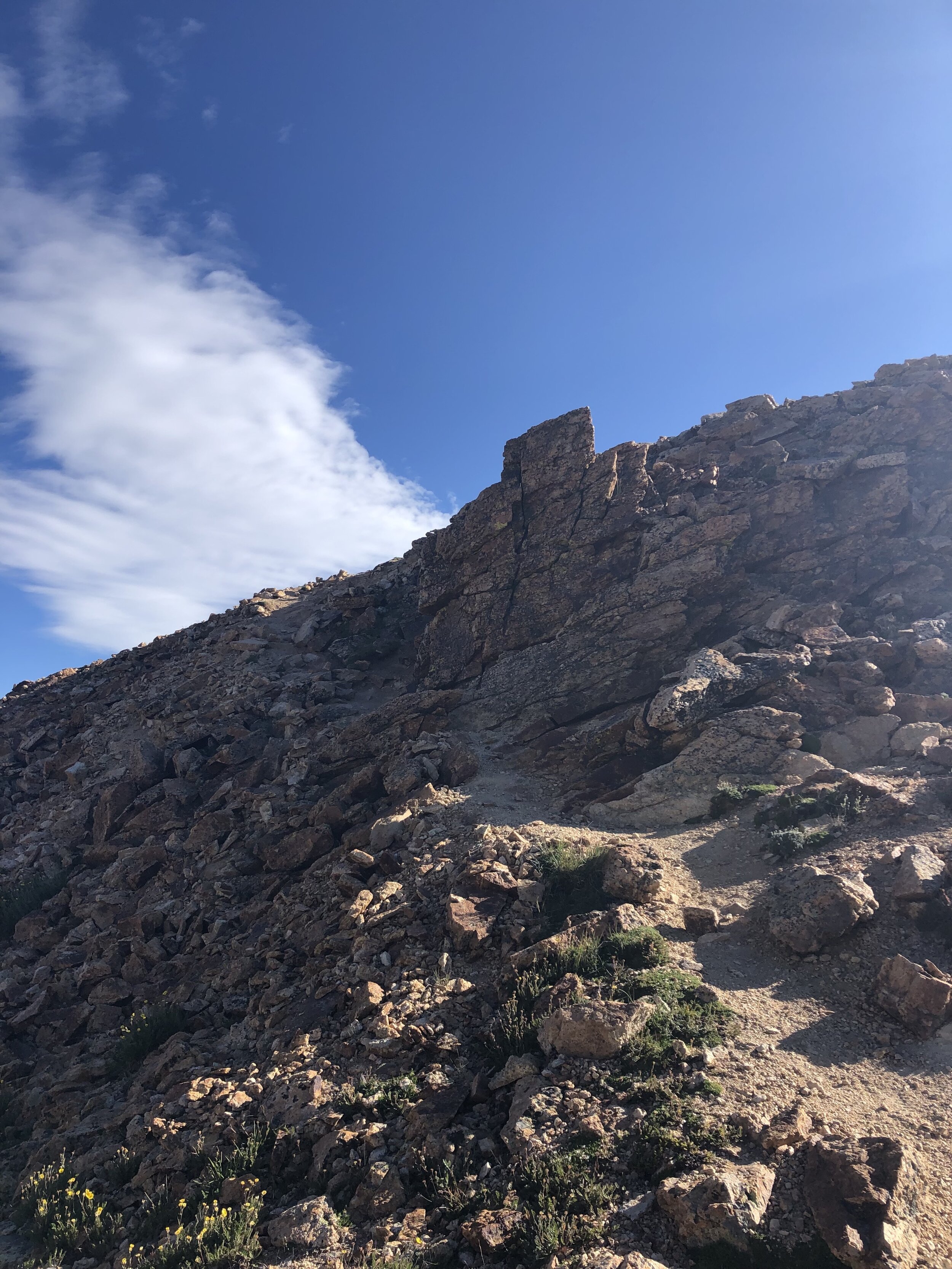
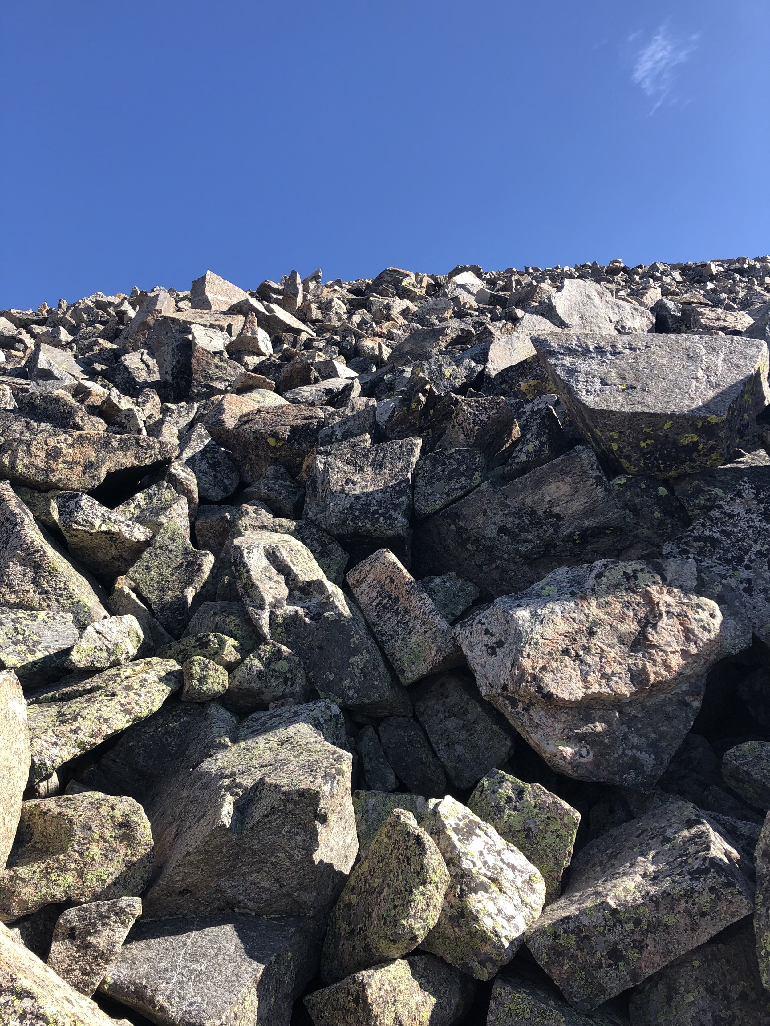
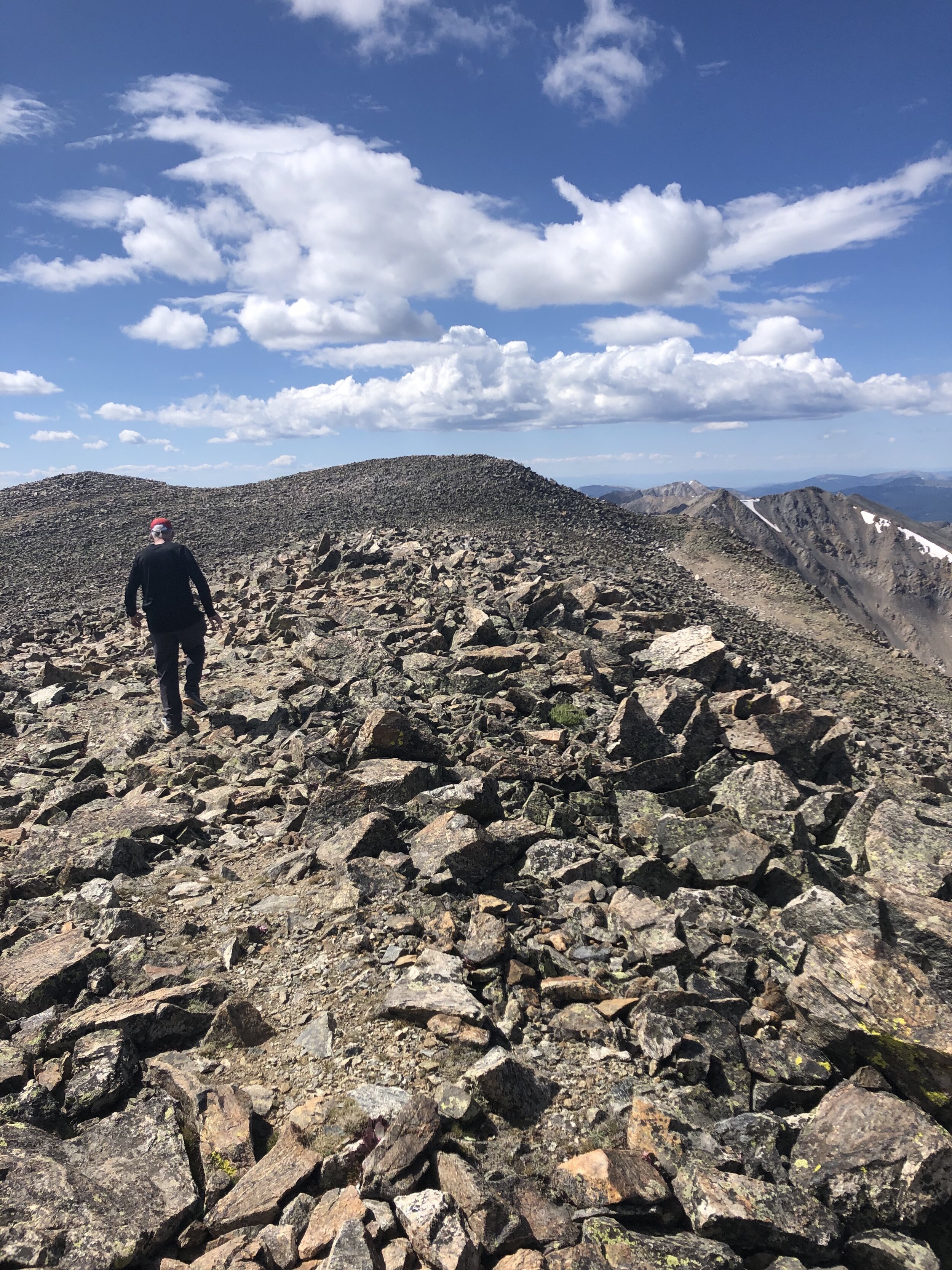
Starting at about 13,100’ and continuing until the La Plata summit (14,336’), the majority of the hike was hiking up talus with no clear trail. The way that I hiked up the talus was not the smartest (as I realized on the hike down). I basically just went straight up the talus and randomly traversed at areas that looked like a better way than going directly up.
Due to there not being a clear trail and the fact that I kind of separated from my dad at this point, I kept pausing at least every 2 minutes because I was trying to figure out a better way to go up the talus. It turns out I should have just kept hiking up because the way that I went up was whack anyways. I wasted a lot of time…..
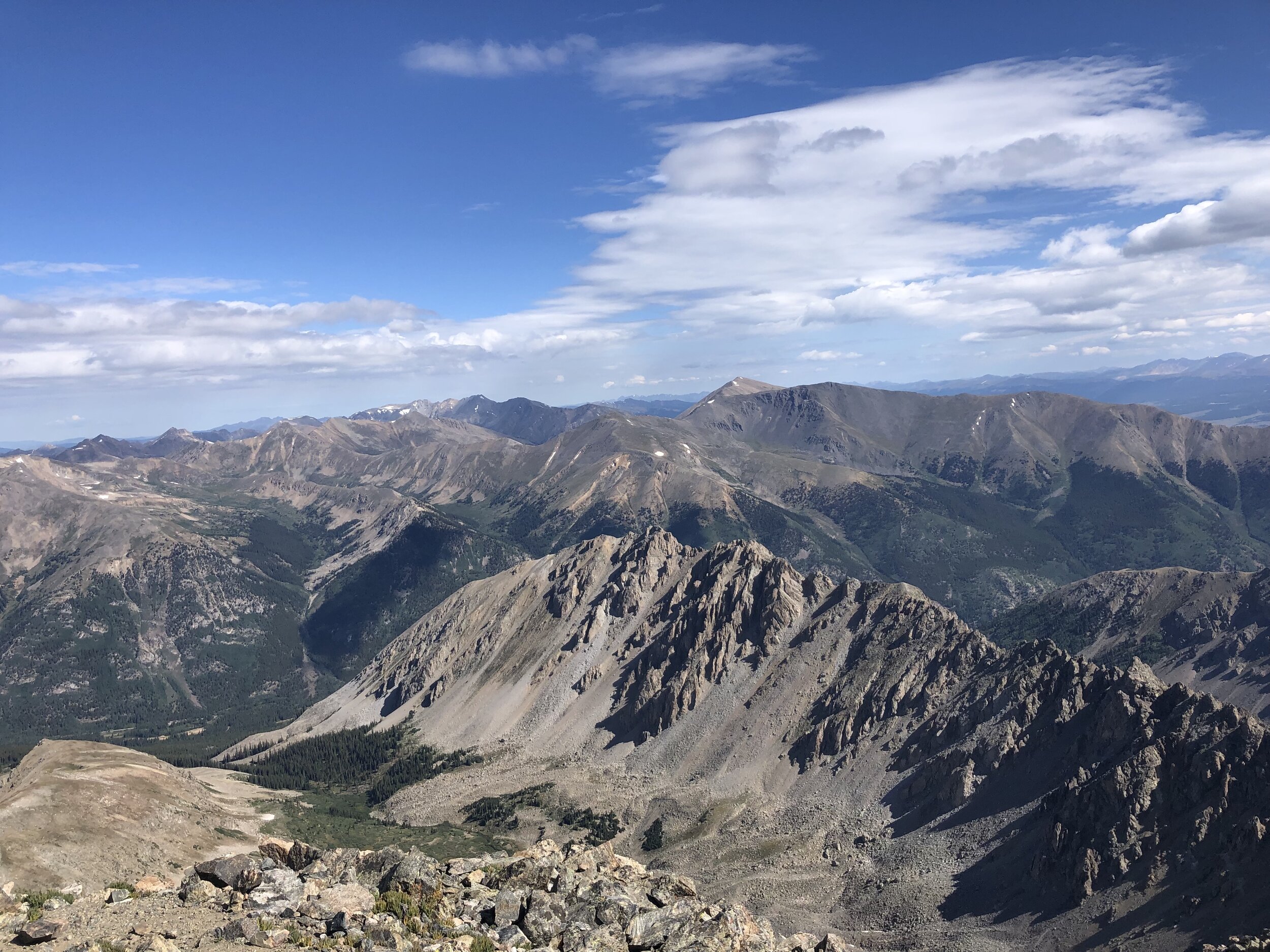
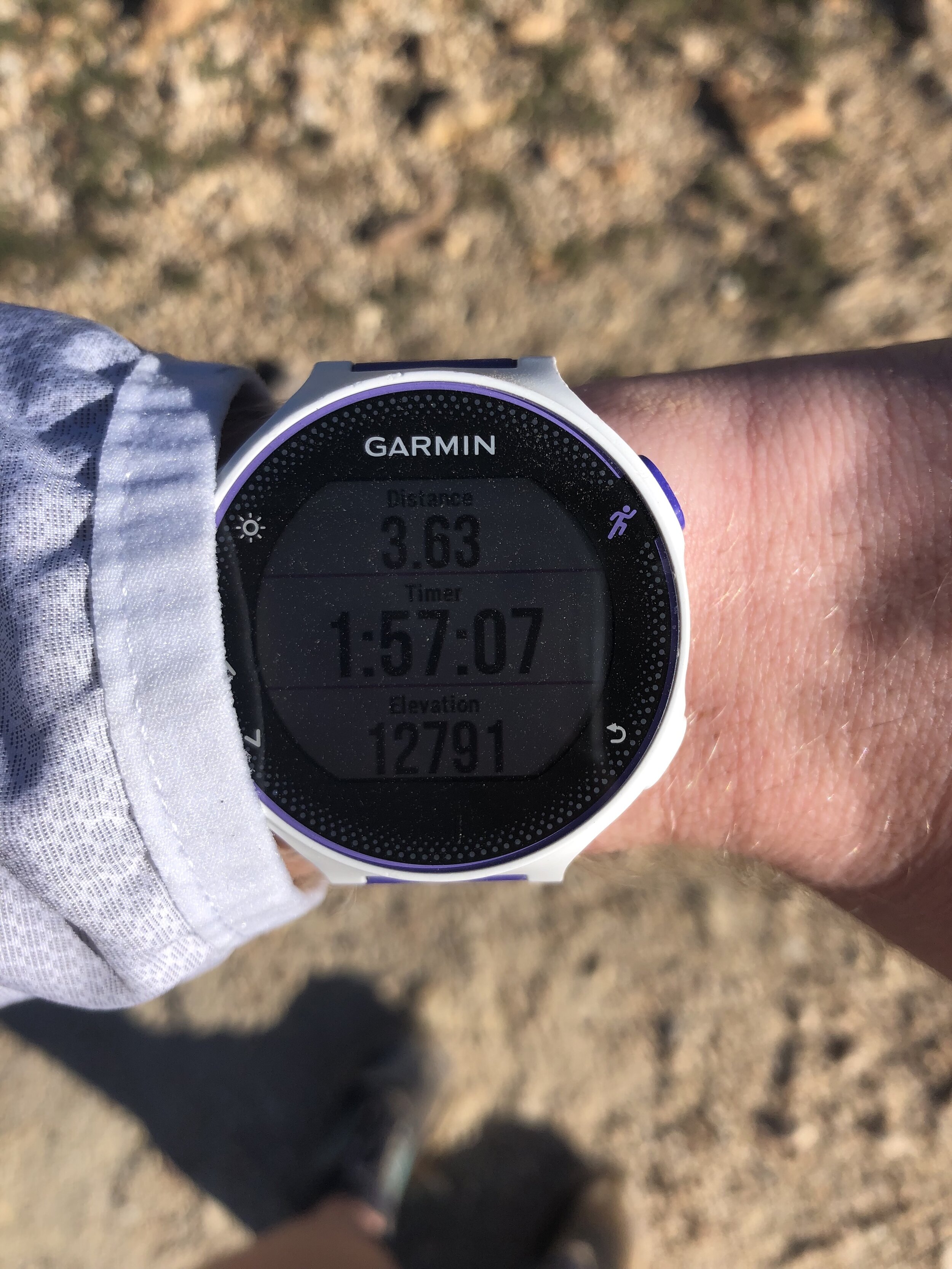
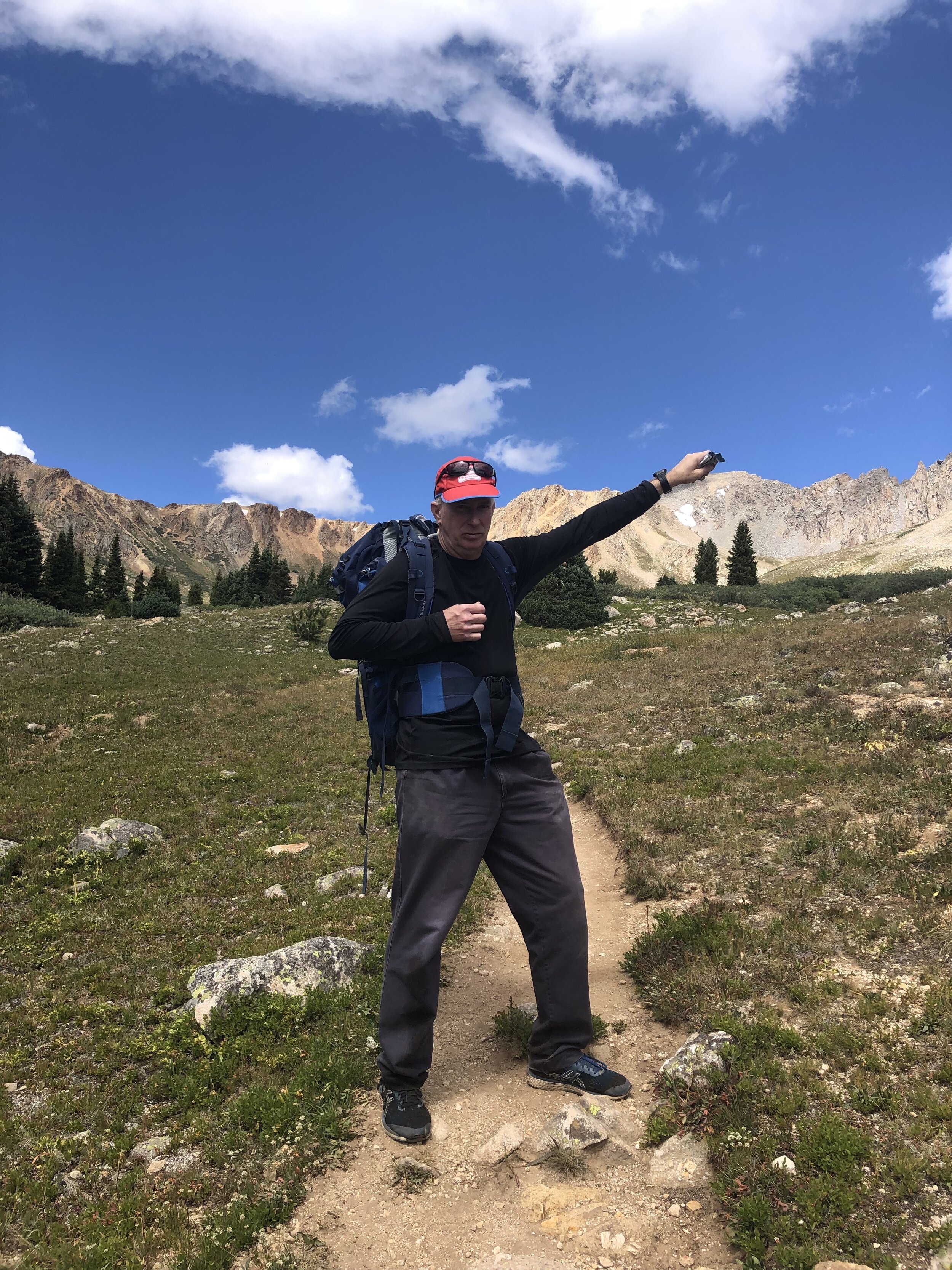
3 hours and 30 minutes (and 5.29 miles) after beginning the hike, I arrived at the La Plata summit!! There were 5 other people up at the summit. I talked a bit to the other hikers, and reapplied sunscreen. My dad arrived at the summit 25-30 minutes later and we took some pictures together before heading back down (spent 33 minutes at the summit)!!
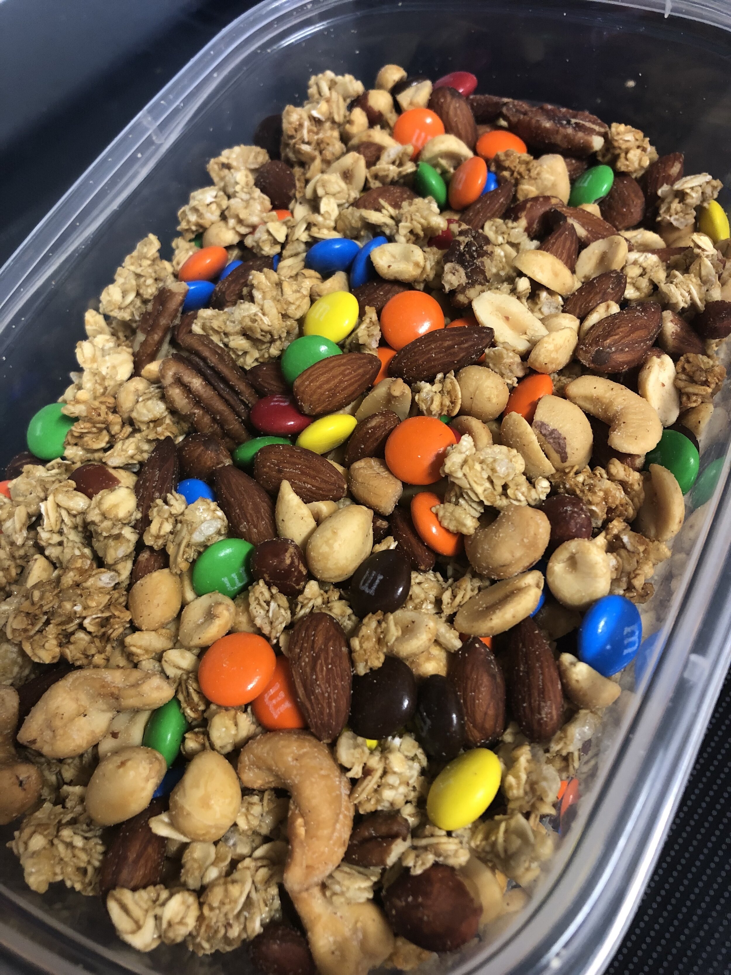
Before leaving for the airport, I made an absolutely massive amount of trail mix (my fav!!!!!!!). I started eating this trail mix on our descent. The descent of the hike was harder than the hike’s ascent. We took our time descending the talus. Between the end of the talus and the beginning of the gully, I finished my trail mix and I was sad :(. Going down the gully was not fun at all.
Little did I know going up it that the descent down the gully would be much harder. We were being extra cautious on this part. I used my hiking poles for parts of it, and, for other parts, I threw my poles forward and attempted to crab walk down (sometimes I just slid lmao). It was such a relief getting out of this gully. Personally, I thought this part of the hike was more worrisome than Mt. Lindsey (even though Mt. Lindsey had significant exposure compared to this).
The hike was pretty simple once we got back to the basin and then to the 4WD road. The descent took 3 hours and 16 minutes. The RT stats for the hike were 7 hours and 20 minutes, 10.85 miles, and 4,007’.
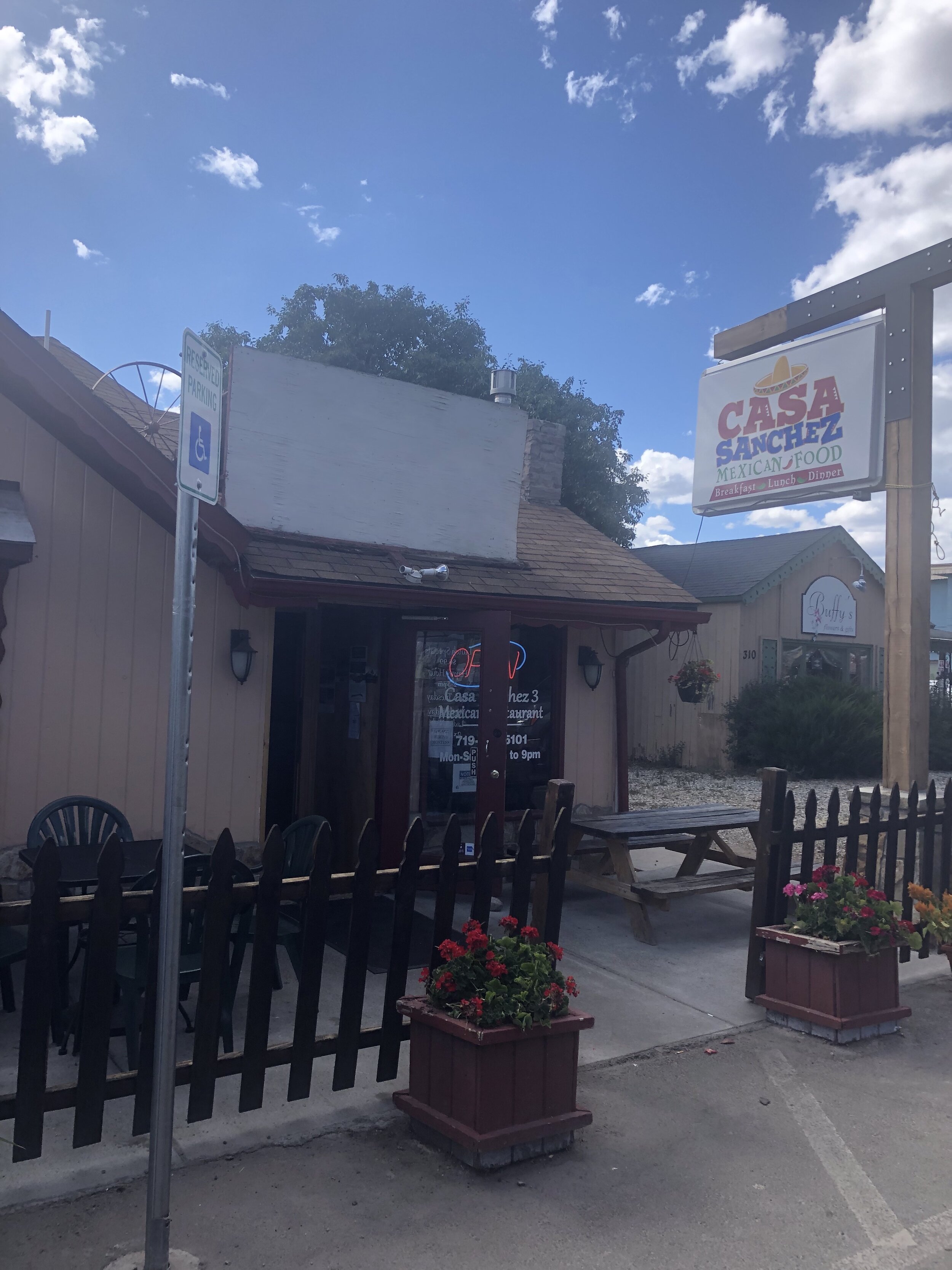
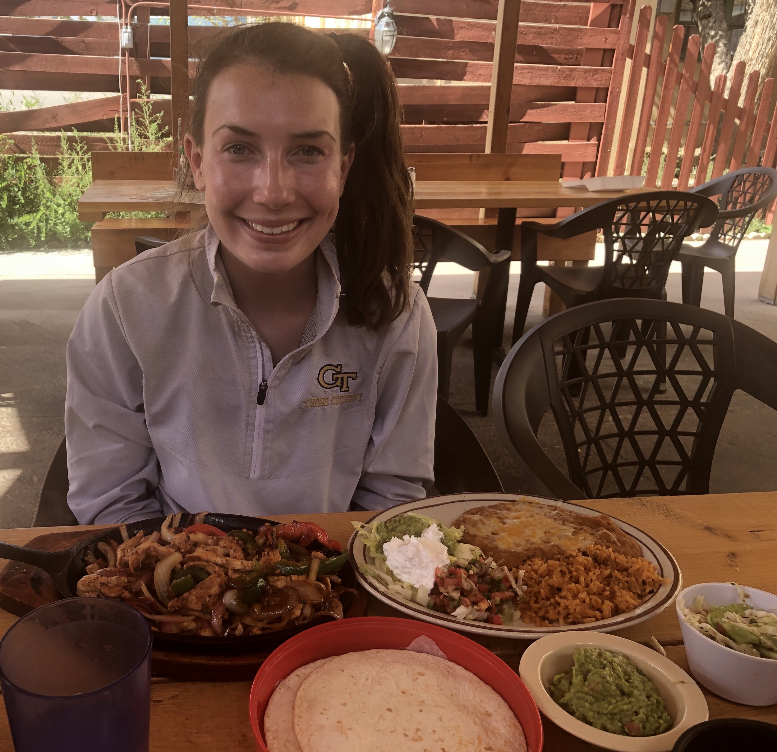
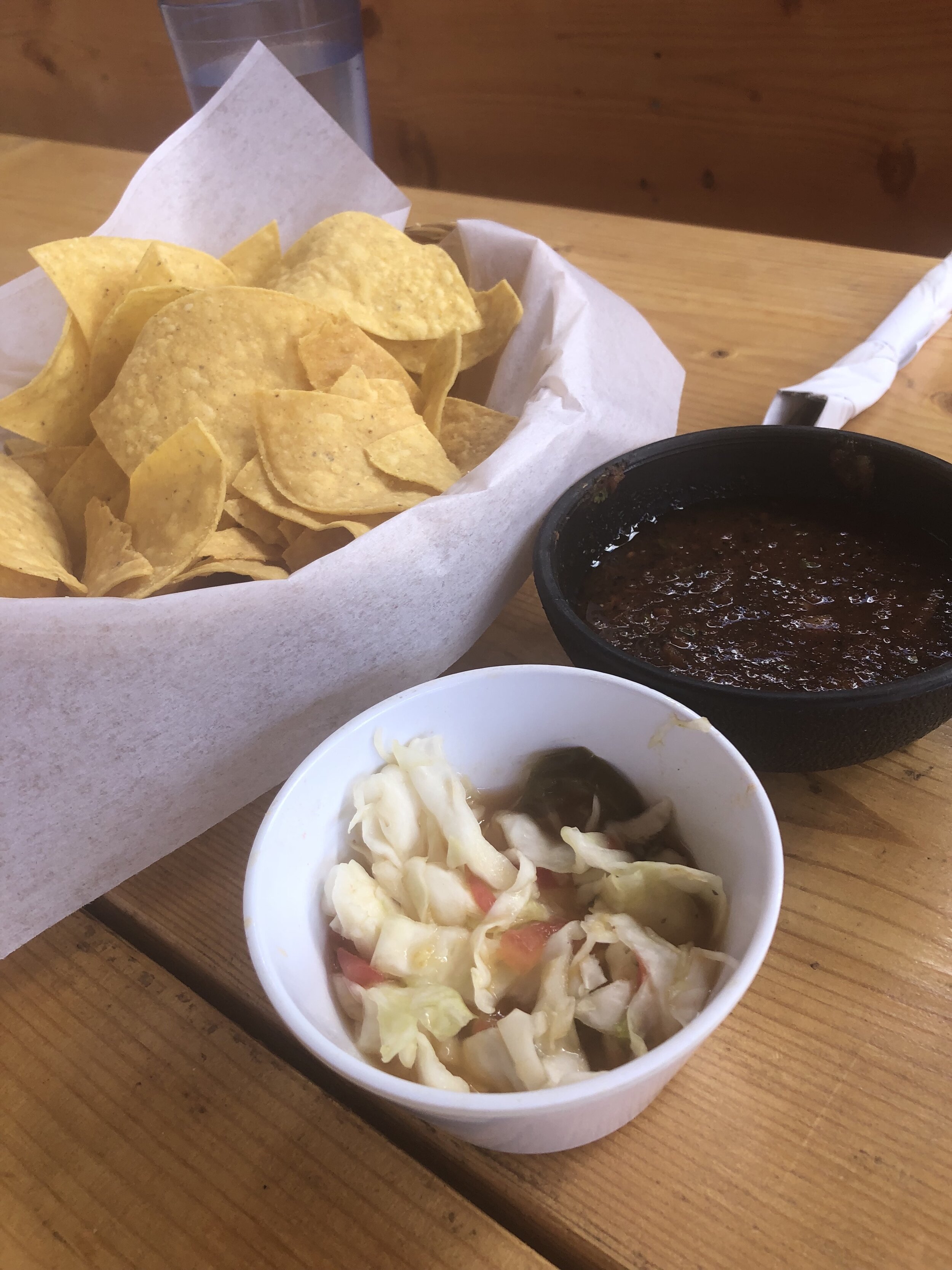
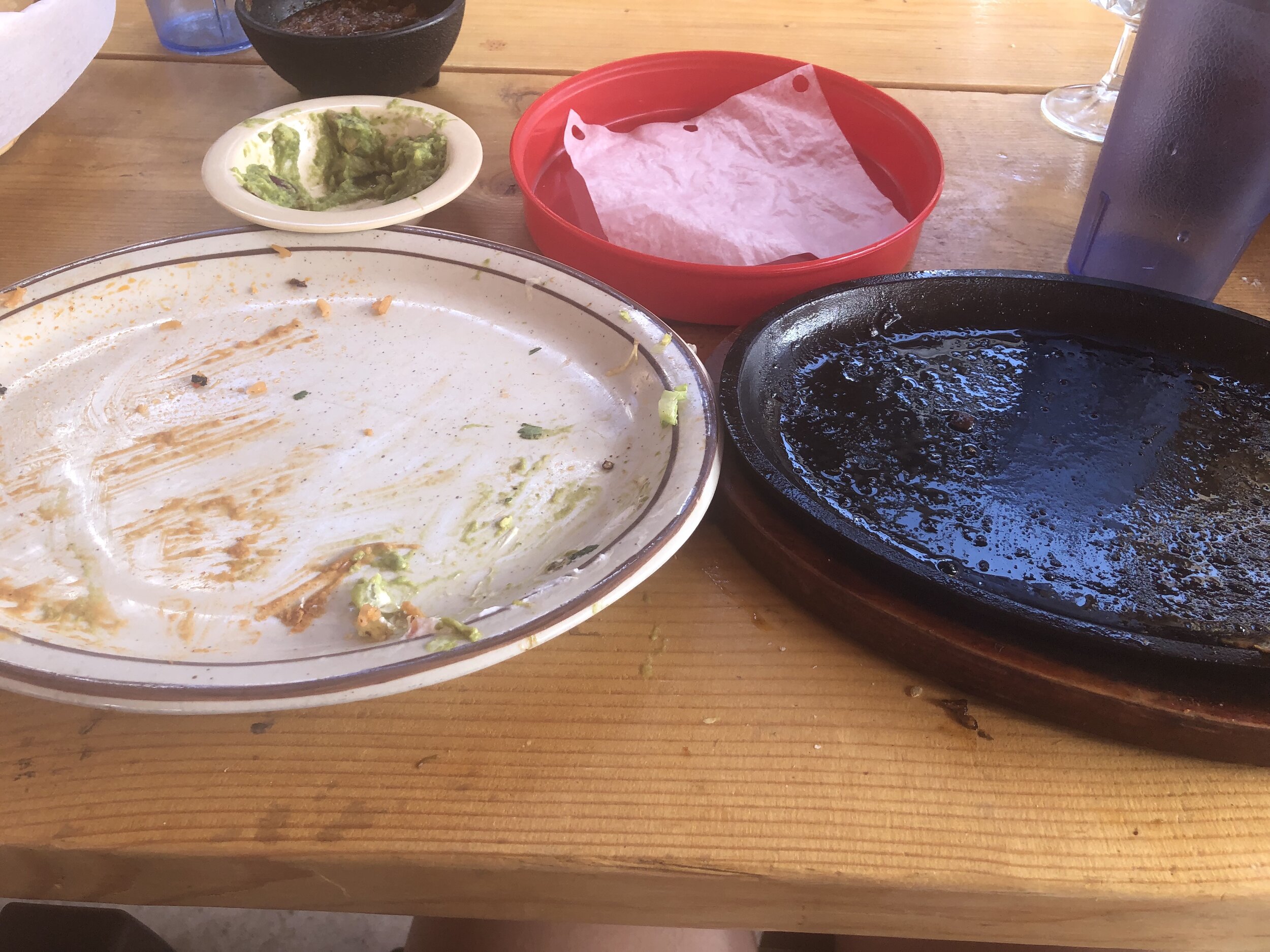
We headed to Buena Vista to get some Mexican food at La Casa Sanchez!!!!!! Ask my dad, I was excited about getting Mexican food the entire hike!! I ordered chicken fajitas and, once again, I joined the #CleanPlateClub. Shout out to my dad for giving me his massive side of guacamole.
After this hike, we headed off to Lake City to get ready to hike some more 14ers in the next few days!! I am finally starting to get extremely tired writing this, it is 5:30pm MT currently (so 7:30pm EST) and I really just want to fall asleep. Oh well, this is totally worth it and beats Atlanta!!!! 22nd 14er complete :)