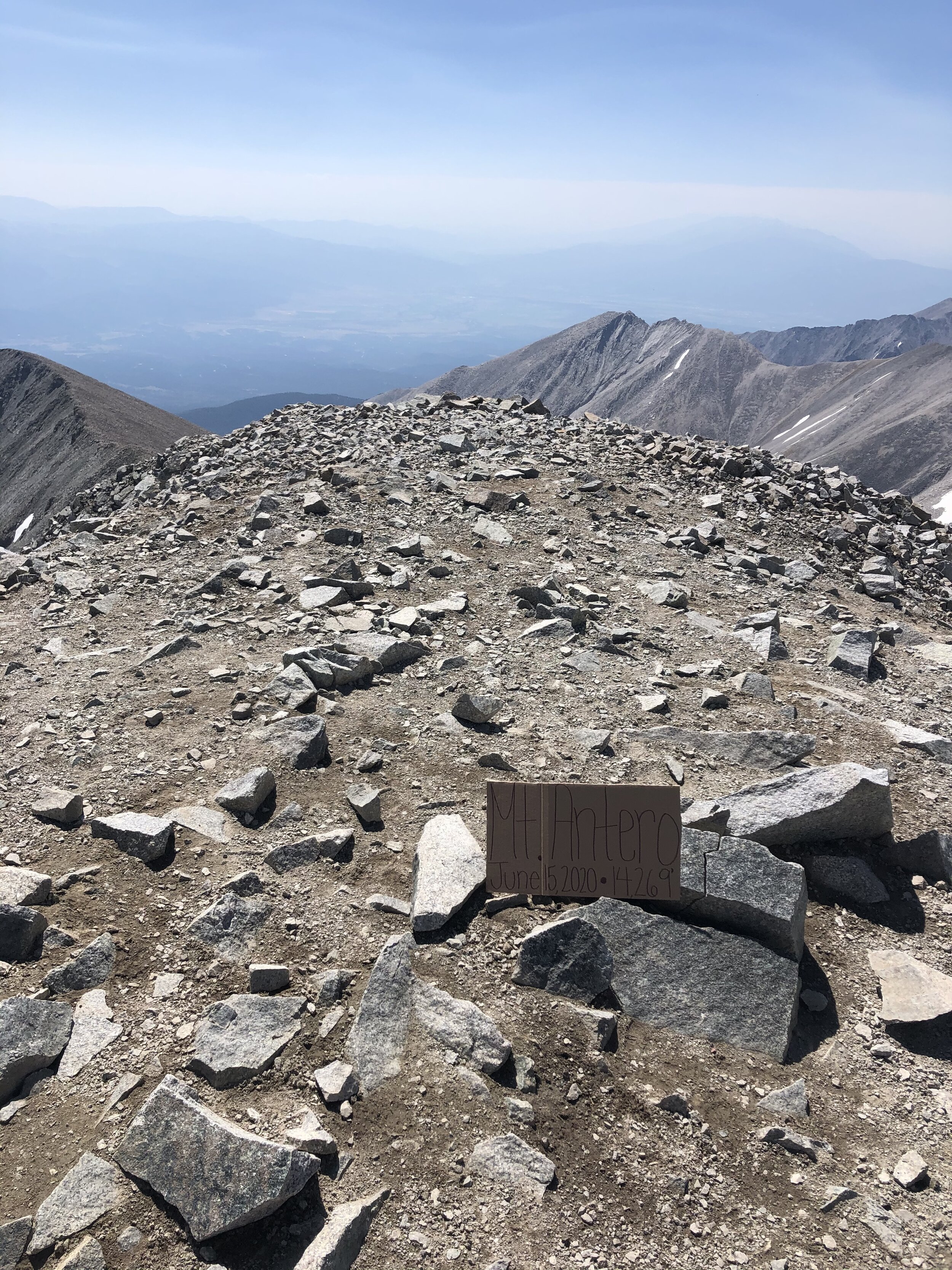
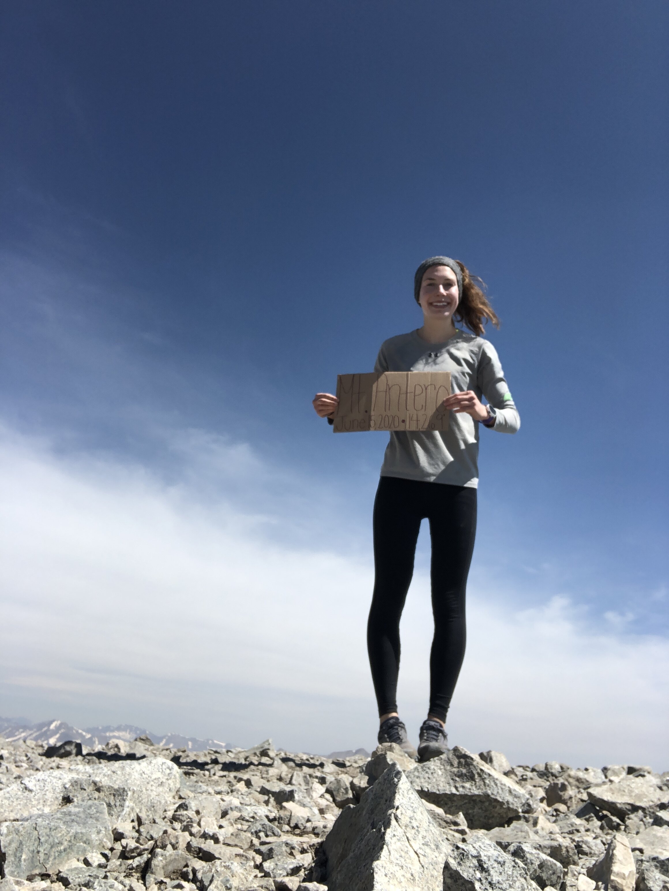
Mt. Antero
June 15, 2020 / 14,269’
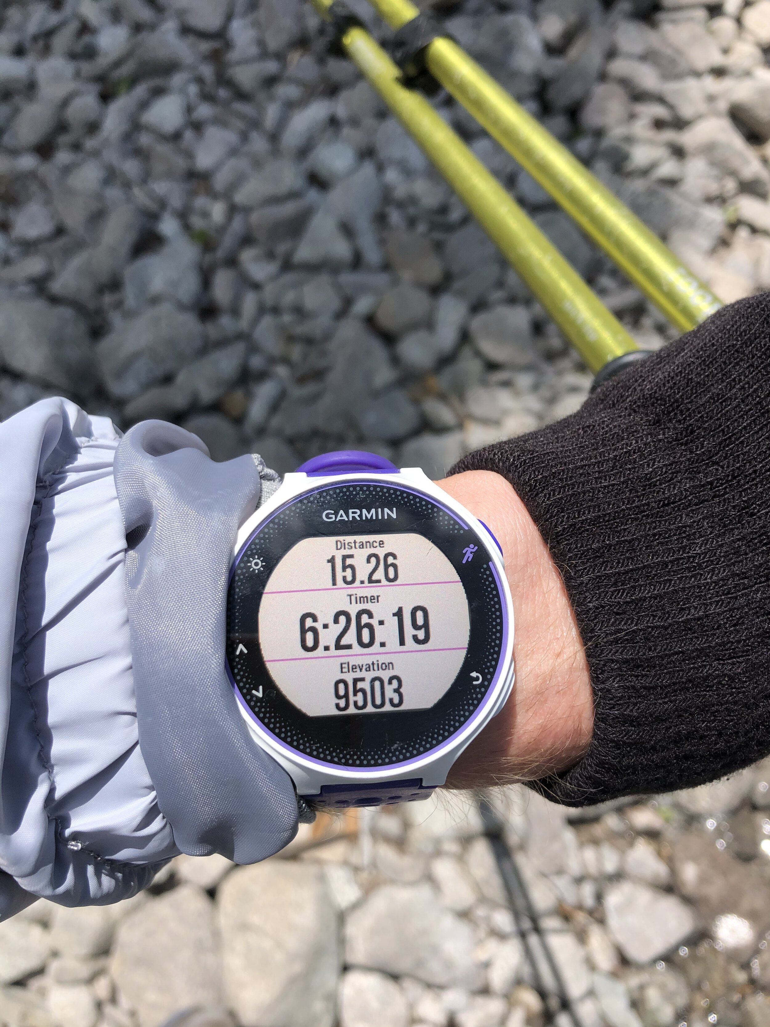
RT STATS: TOTAL TIME - 6 HR & 29 MIN, 15.40 MILES, AND 4,827’ ELEVATION GAIN
TIME STATS: 3 HR & 25 MIN TO SUMMIT, 20 MIN AT SUMMIT, 2 HR & 44 MIN BACK TO CAR
RATING (HOW MUCH I LIKED THE HIKE): 5/10
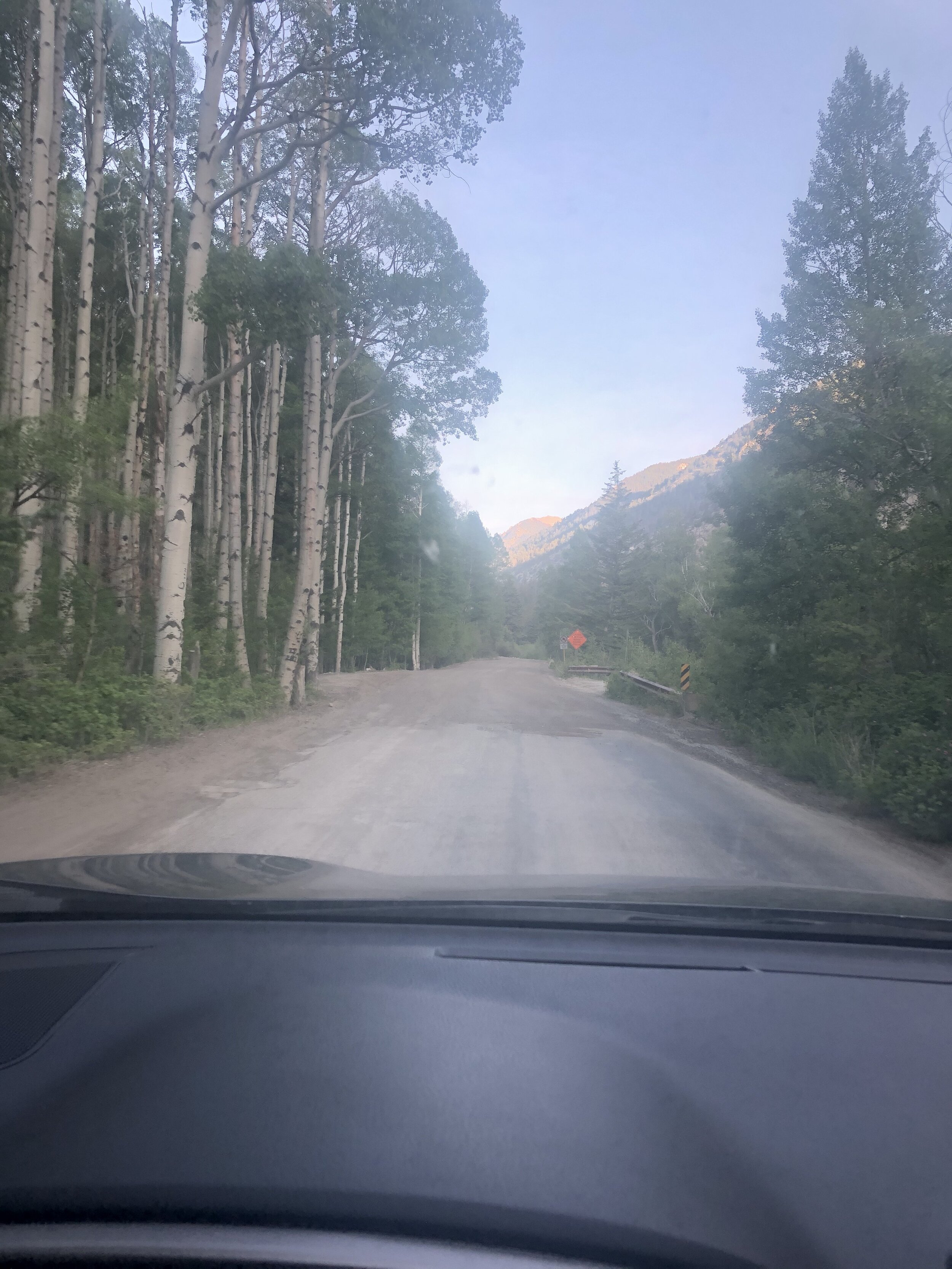
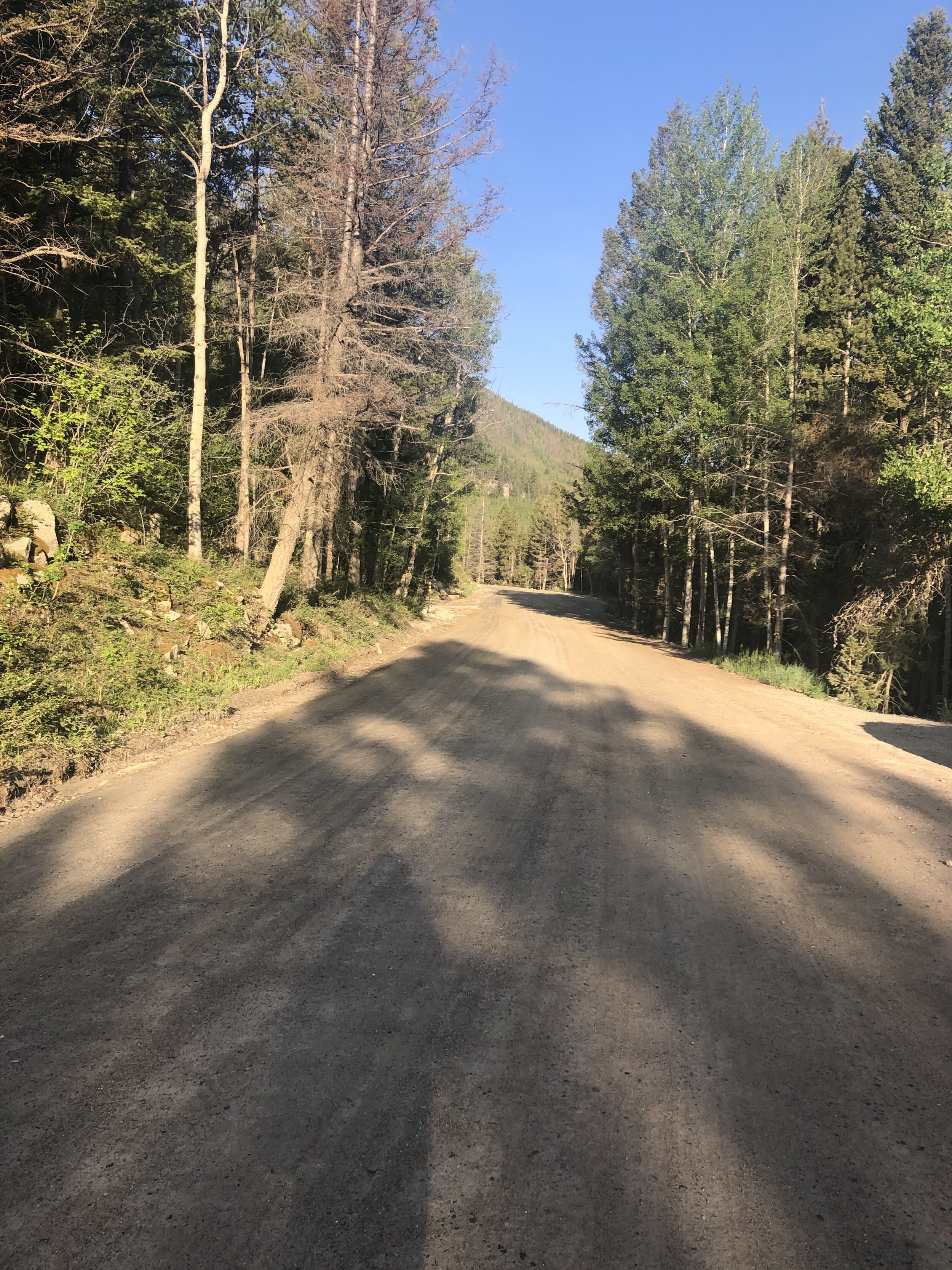
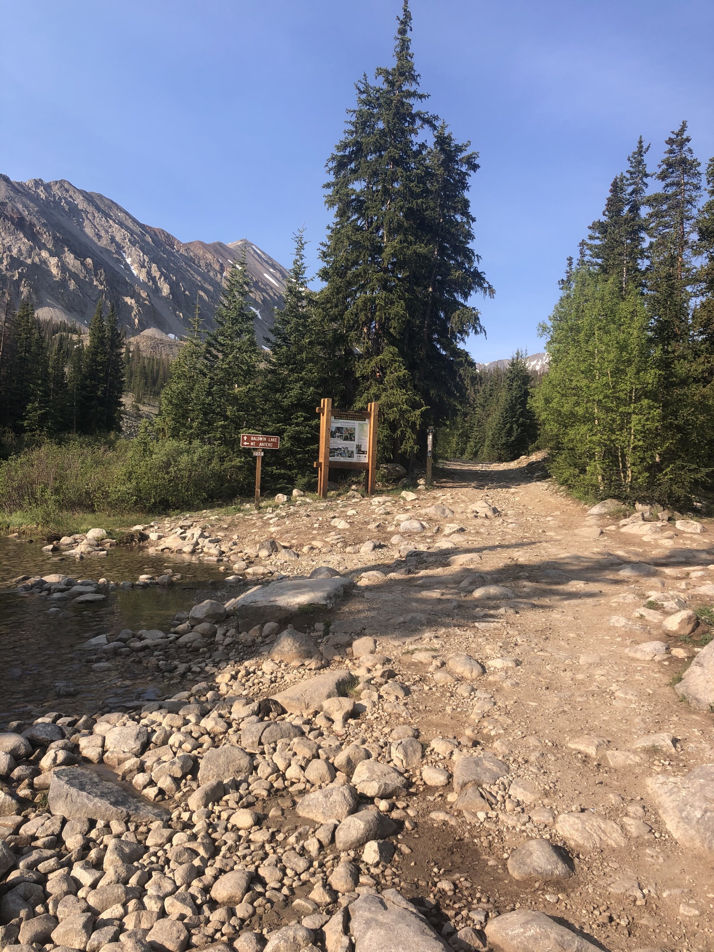
My 30th 14er!!!! Wooo… officially in the 30s, cool stuff. I cannot say that I was super excited for Mt. Antero because the vast majority of the hike was just up a 4WD road; however, I always love a nice hike and getting outside so it’s all good :). This was another solo 14er. Anyways, I left the Springs around 4:30 am and started the hike at 7am at the Baldwin Gulch trailhead—elevation 9,450. The first few miles were pretty boring haha…look at them picturezzz.

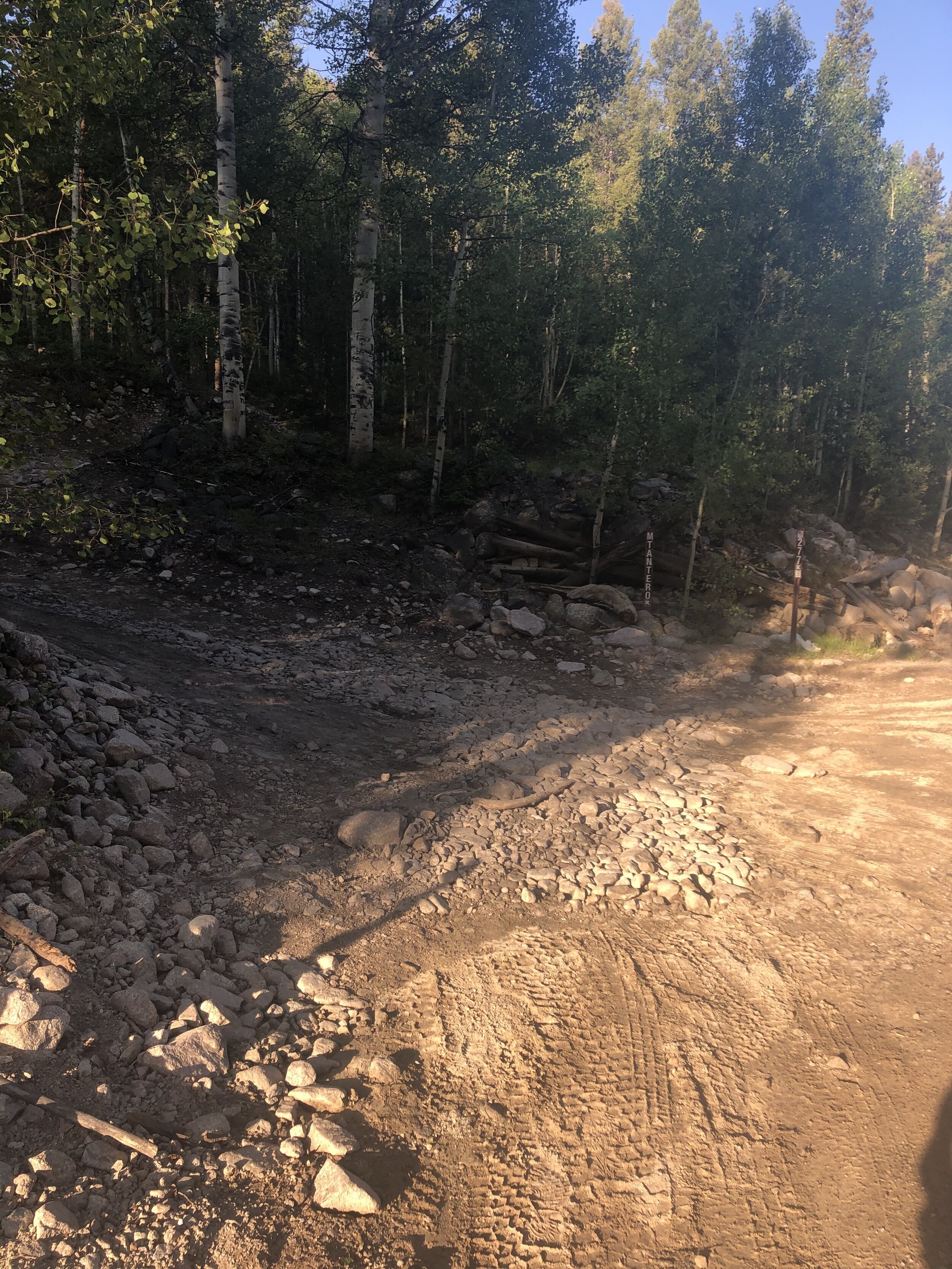
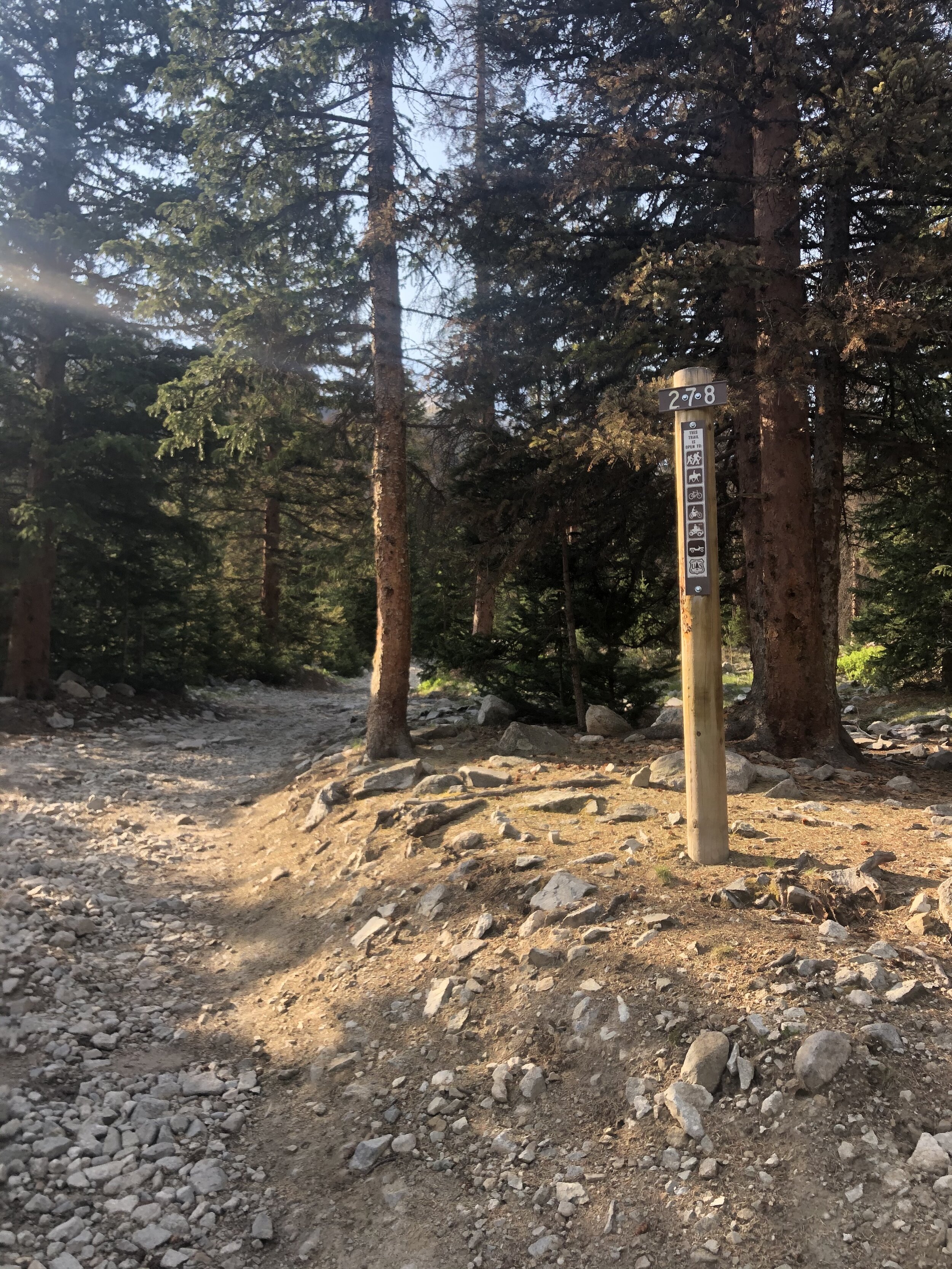
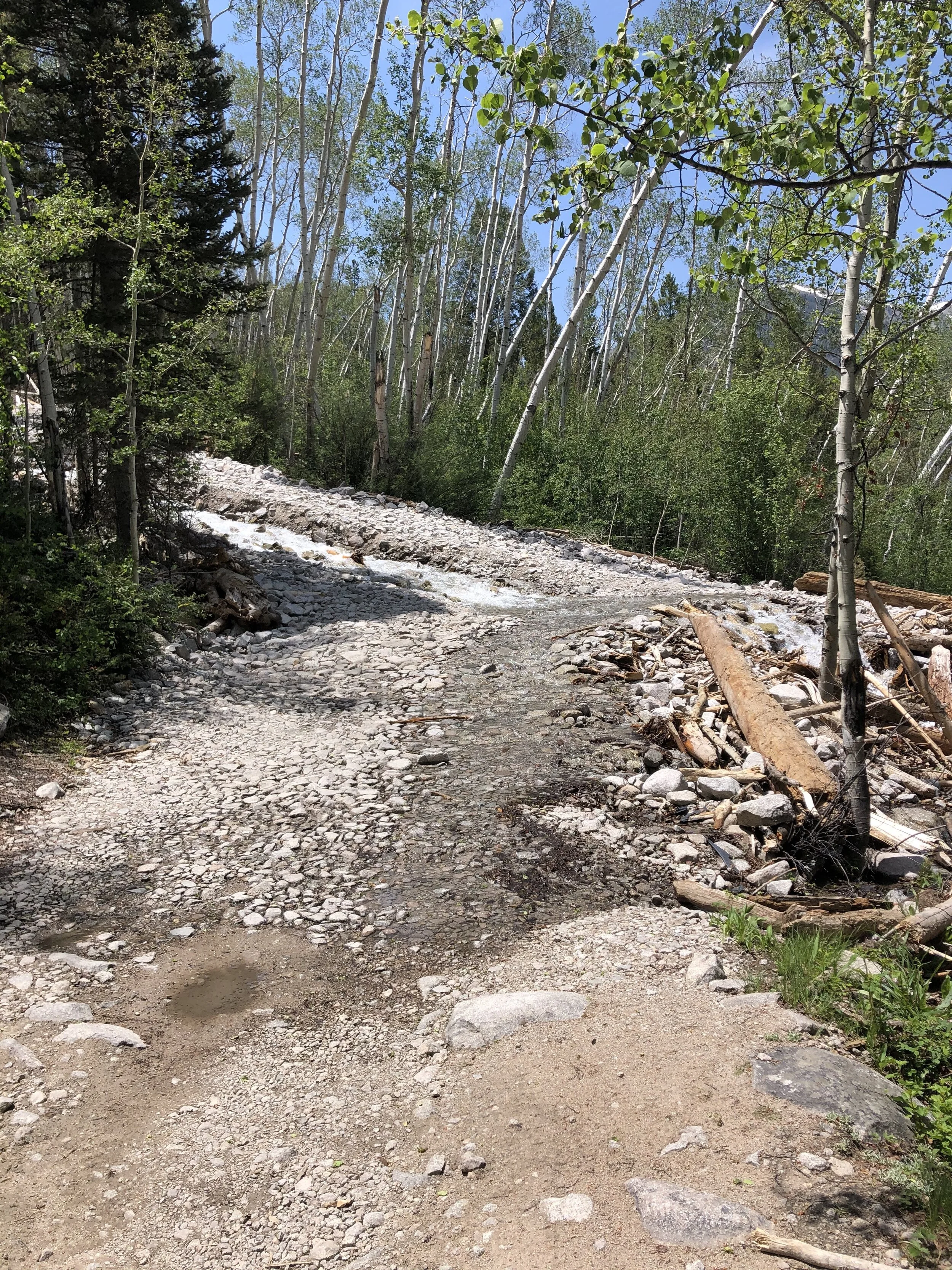
At around 2.75 miles/10,900’ elevation, I crossed a stream (Baldwin Creek) to get on Road 278 to continue the trek. Being the smart girl that I am, I misstepped and got both of my shoes wet so yayyyyyy. Since my shoes were already wet, I just straight up walked through the creek instead of up on the rocks. It was a little cold, but not bad.
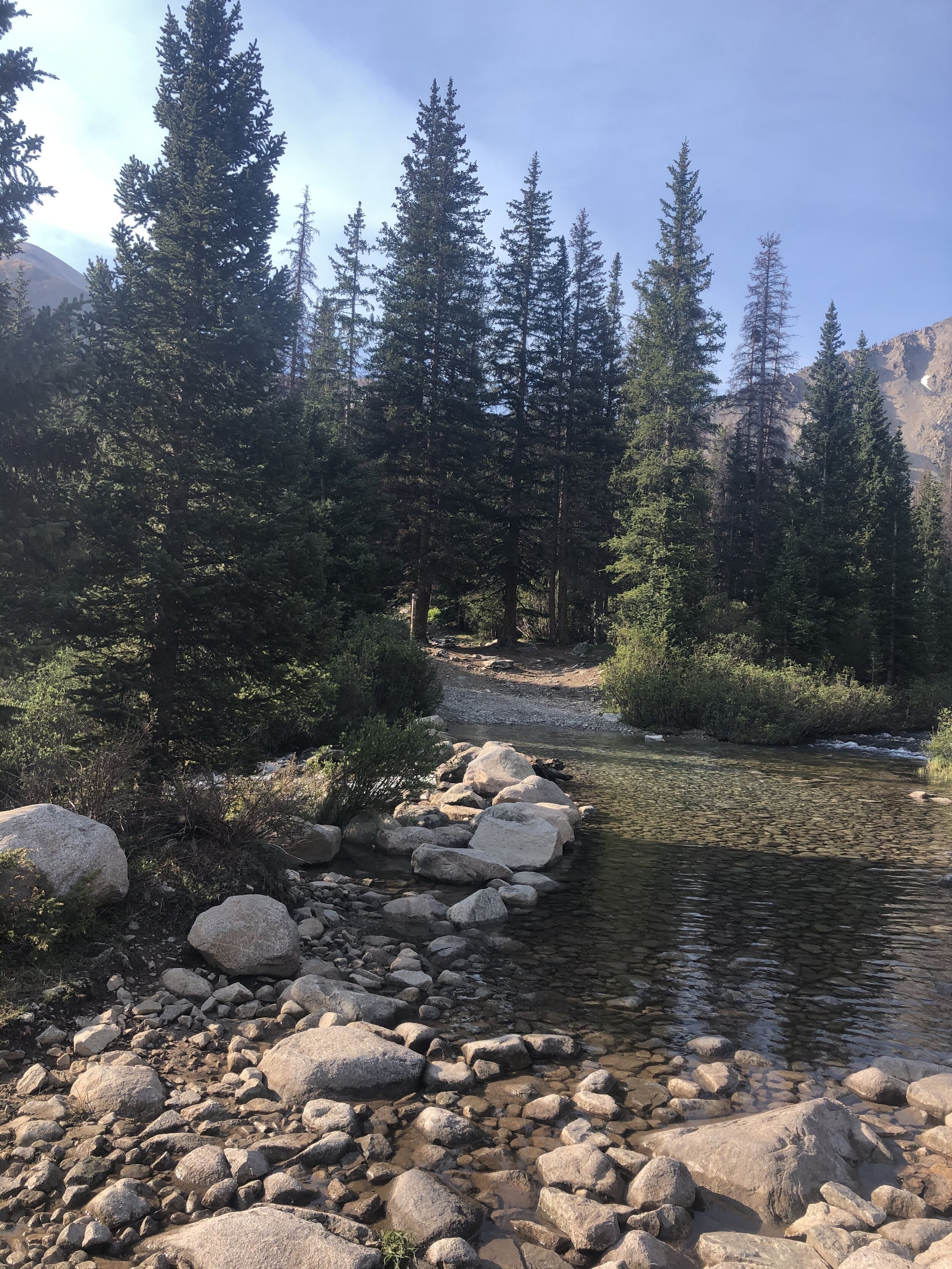
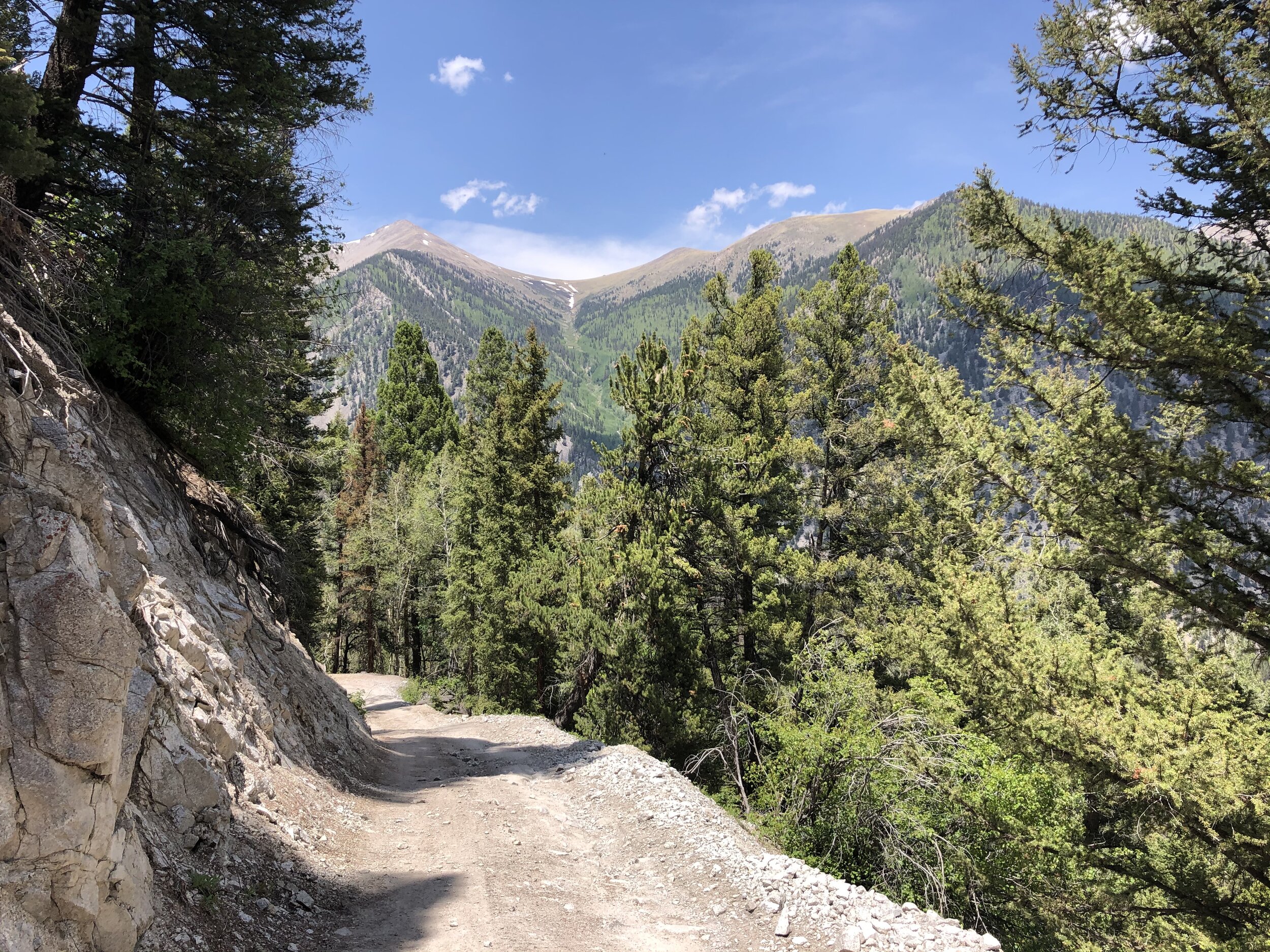
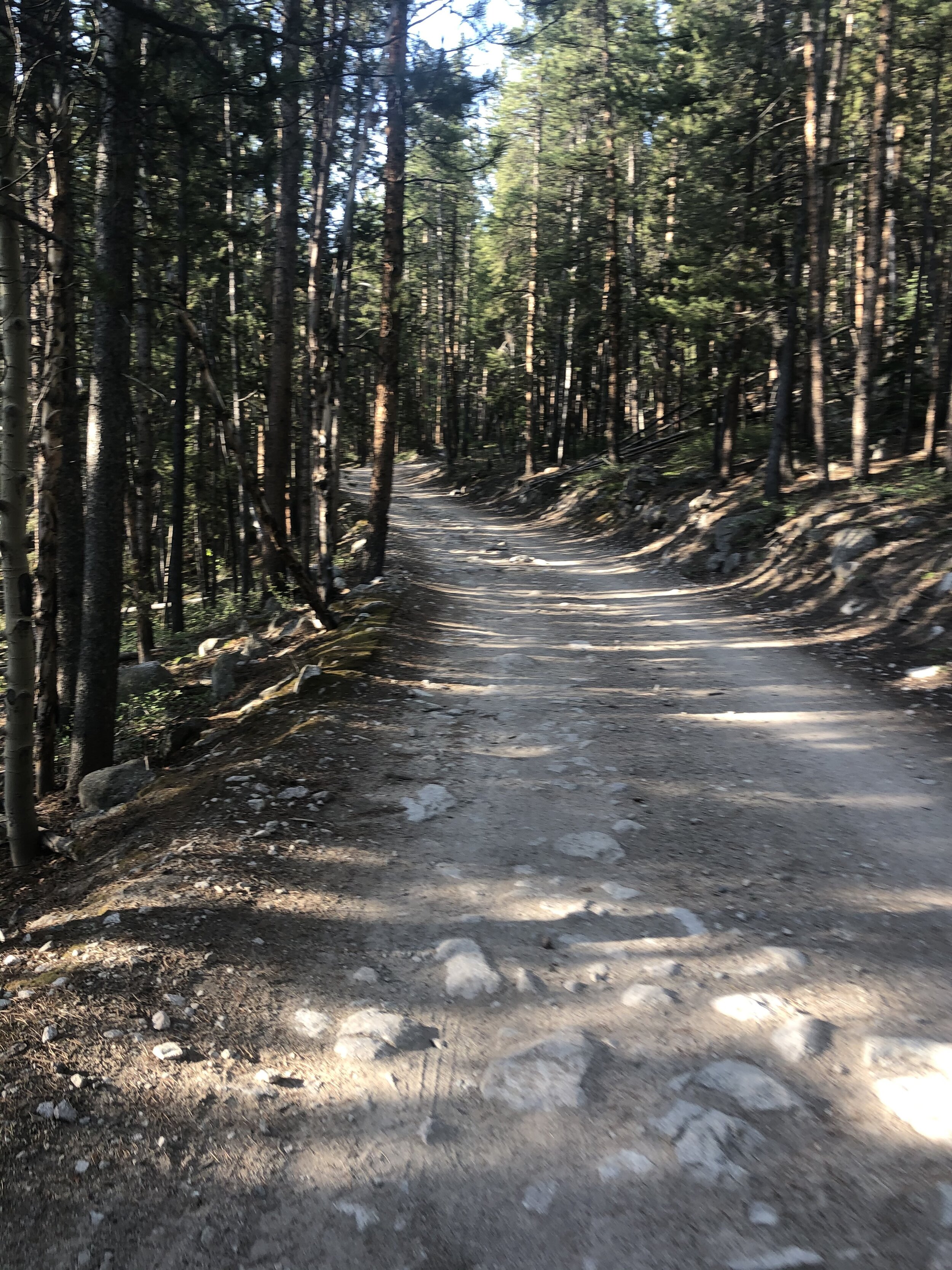
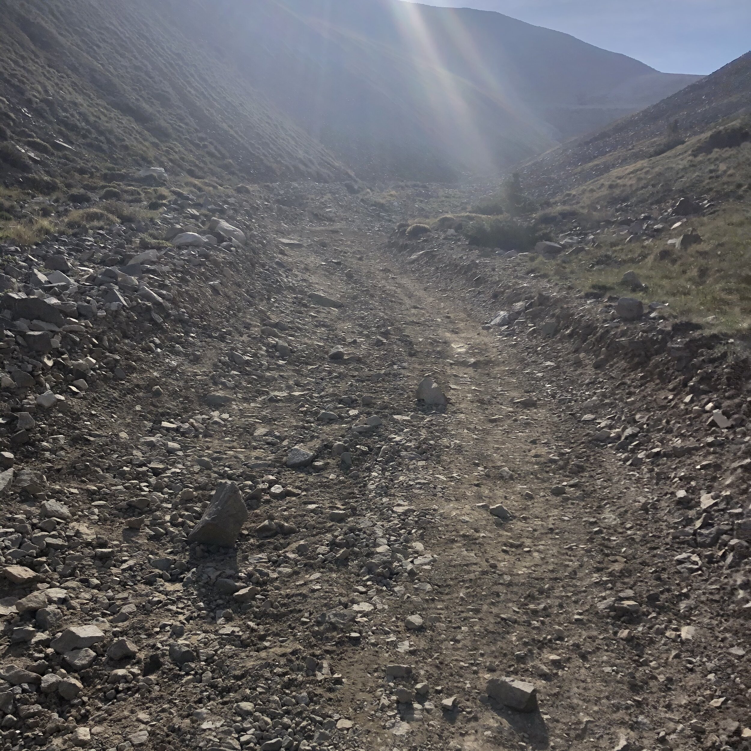
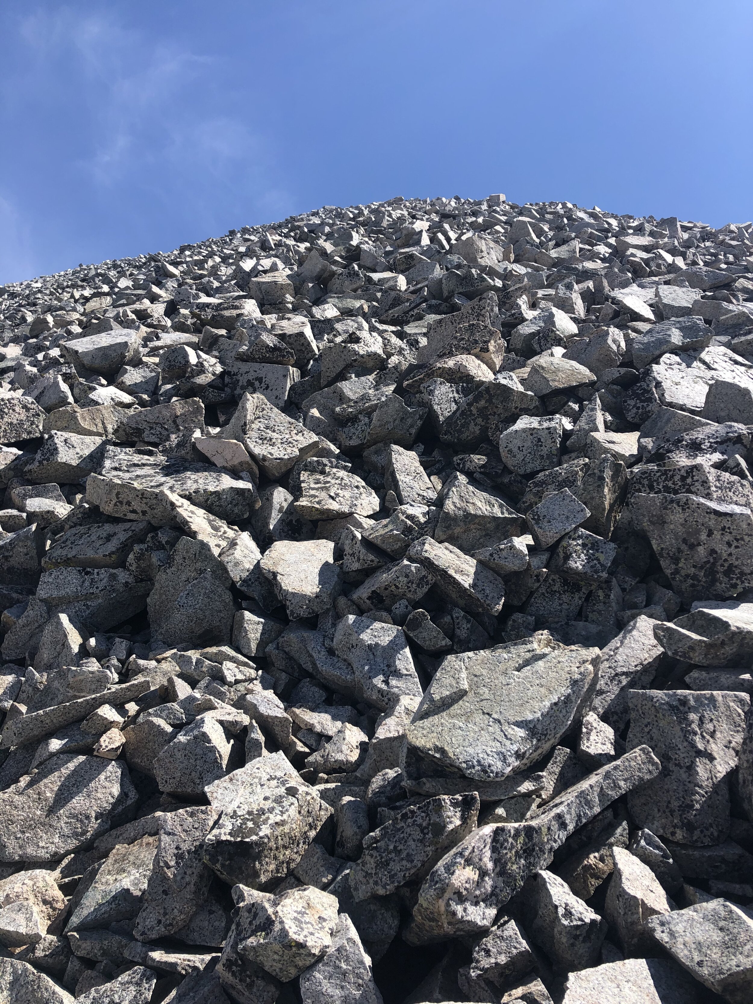
The next 2000’ in elevation gain were, again, nothing special. There were some nice views up on the 4WD road as you can see below :)
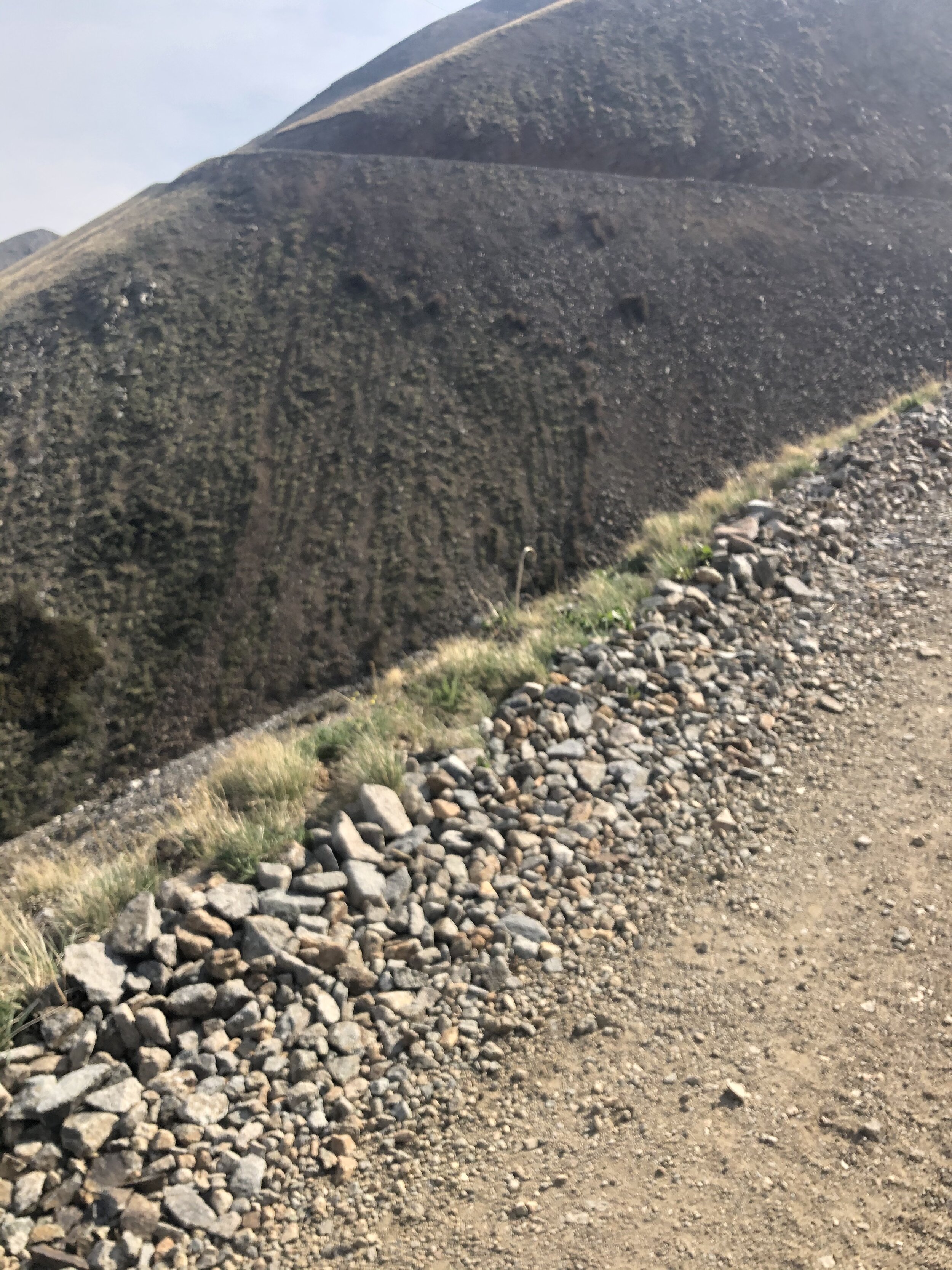
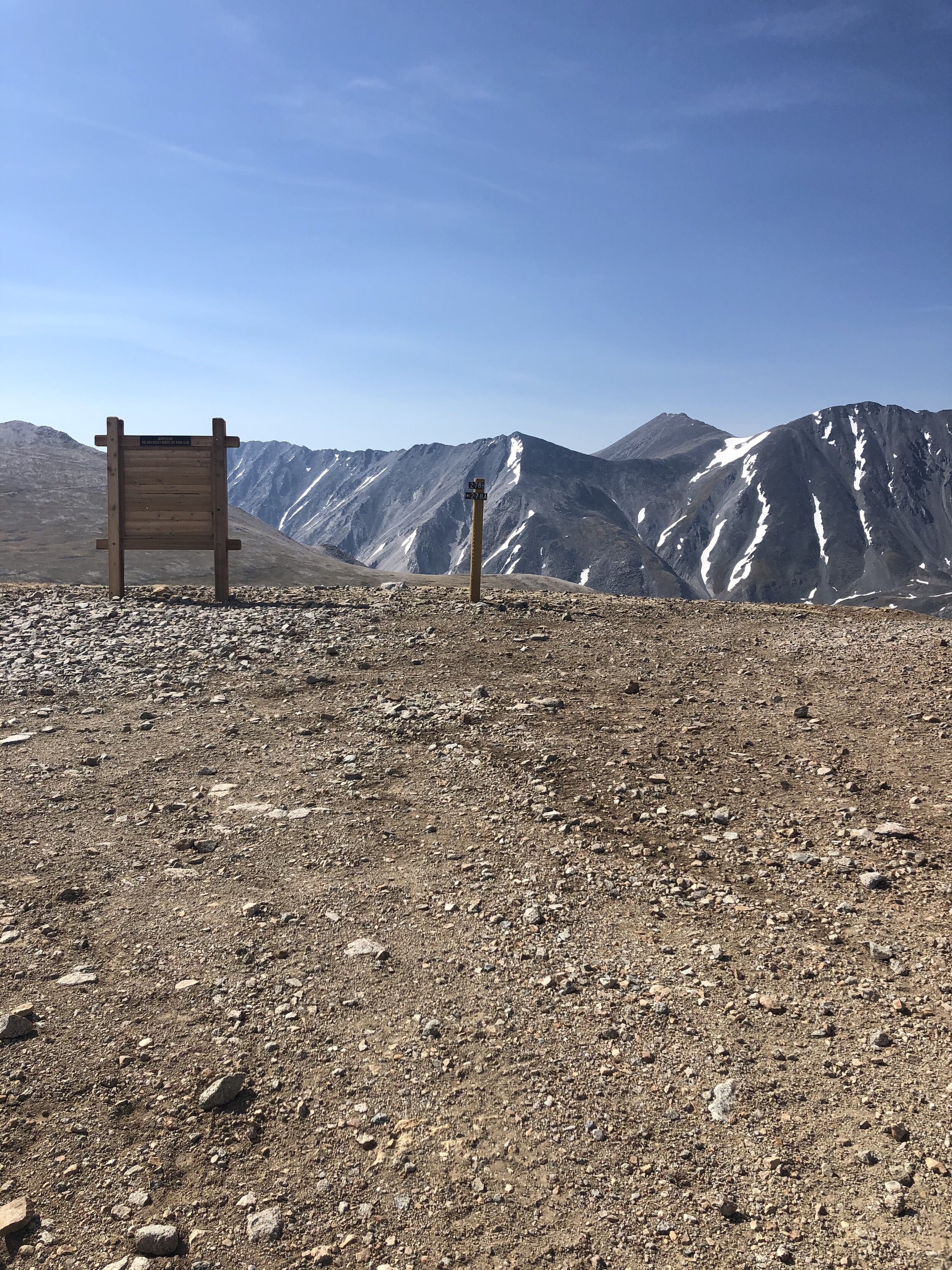
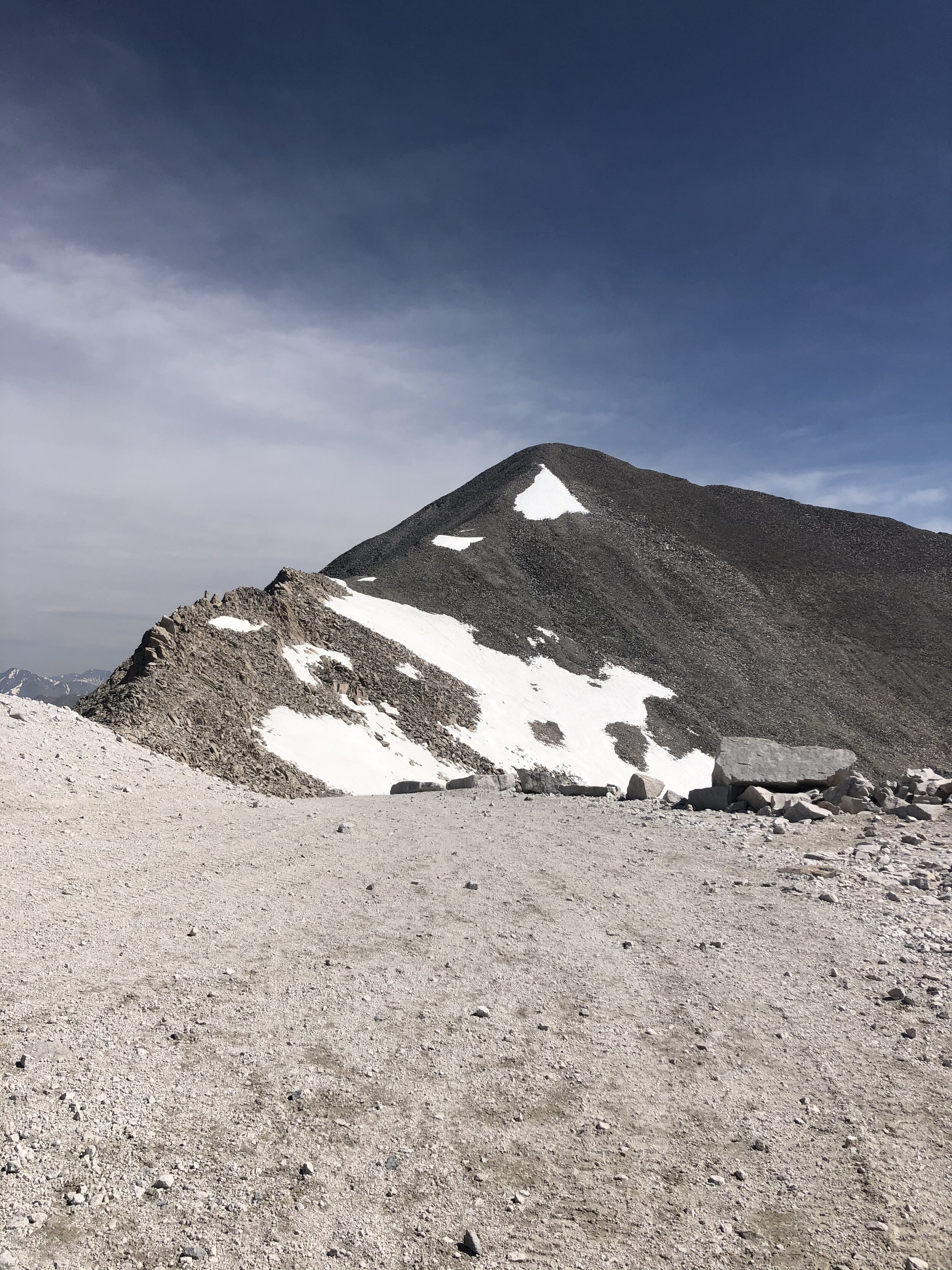
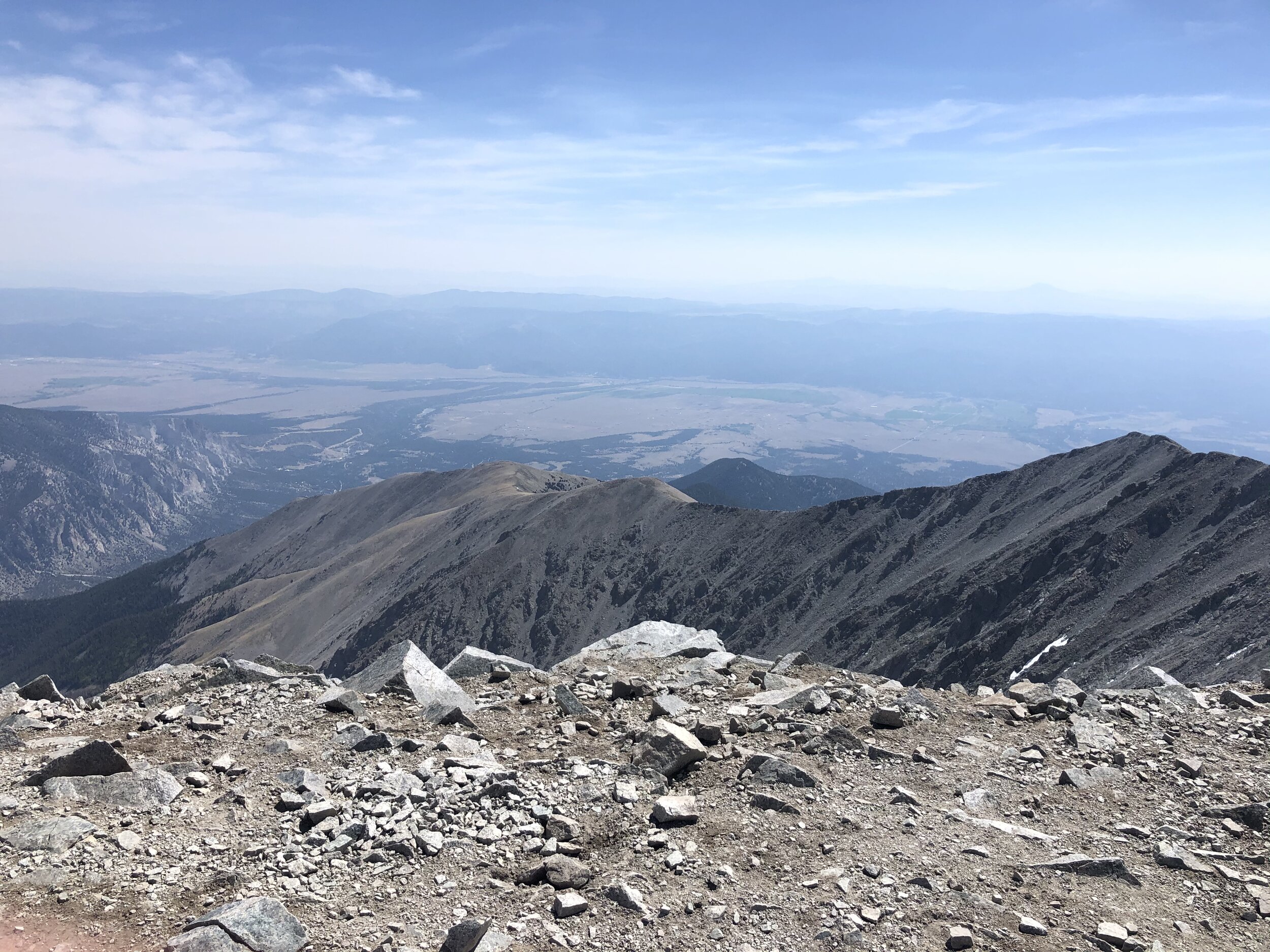
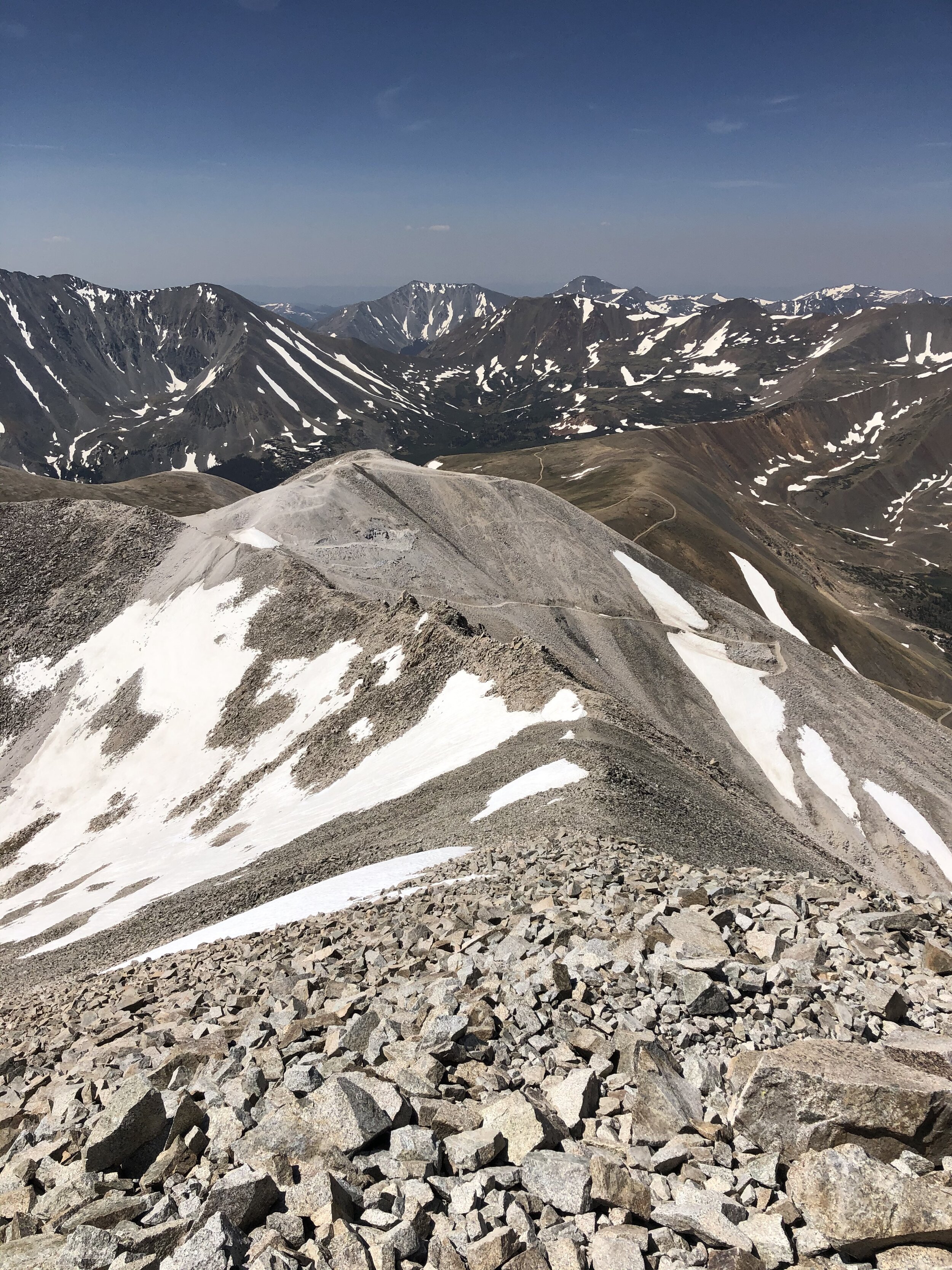
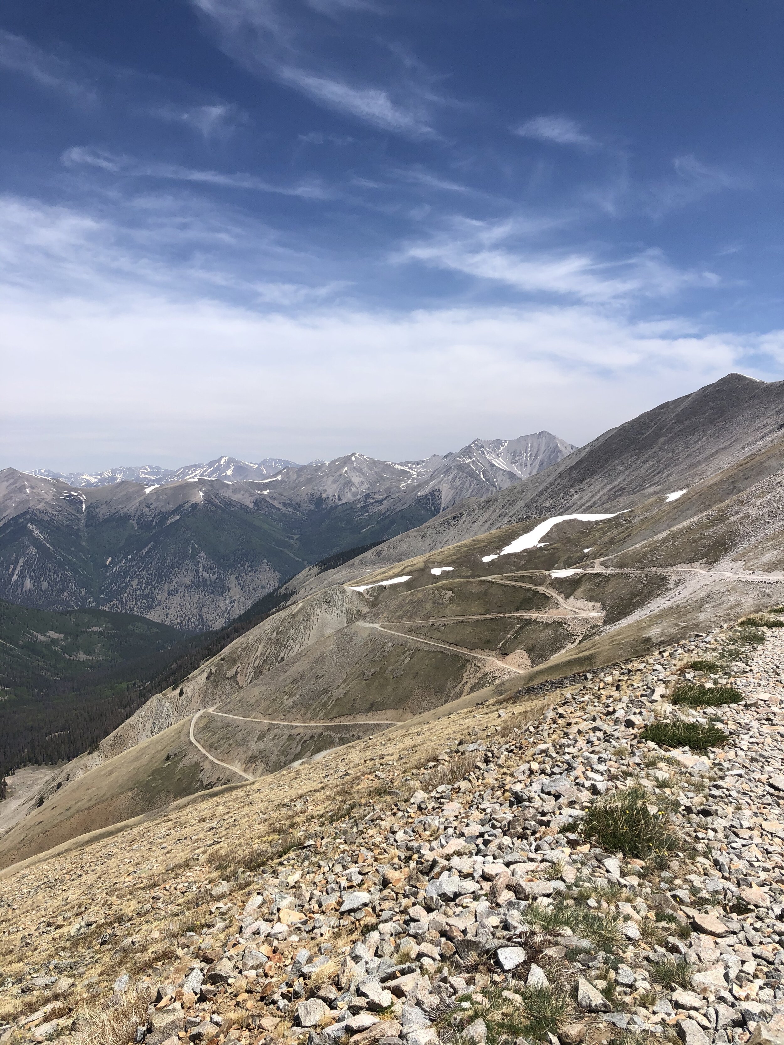
At about 13,100’, I got up on a ridge crest and followed Road 278A. You can see Mt. Antero—the top left peak in the 2nd picture! I continued on this road for a bit.
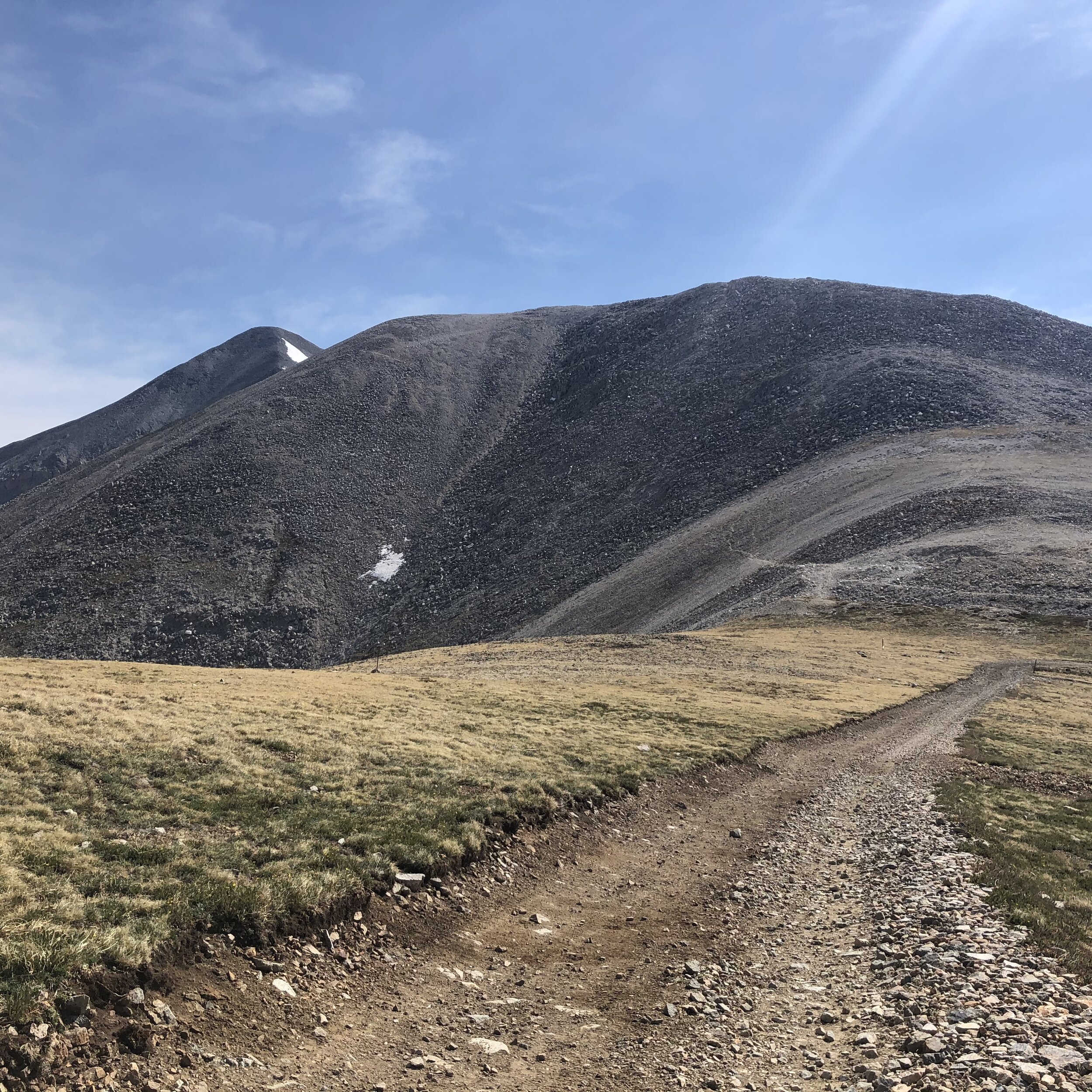
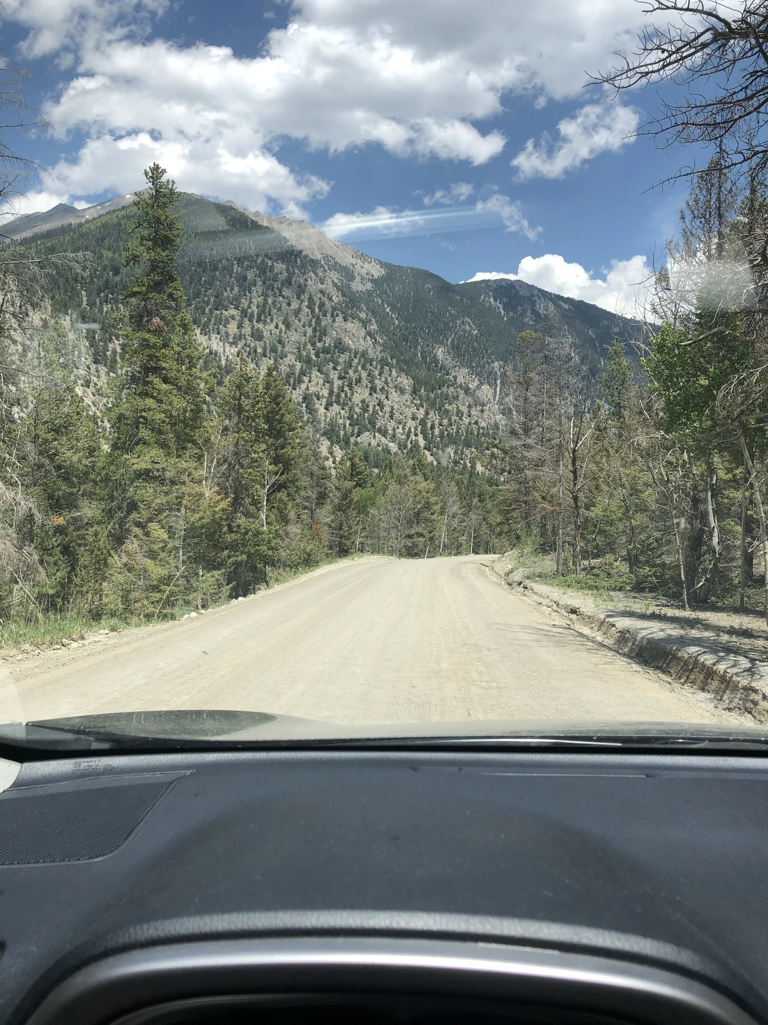
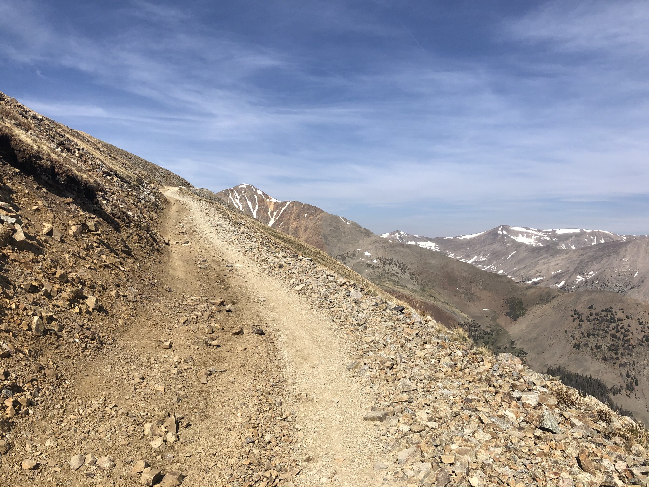
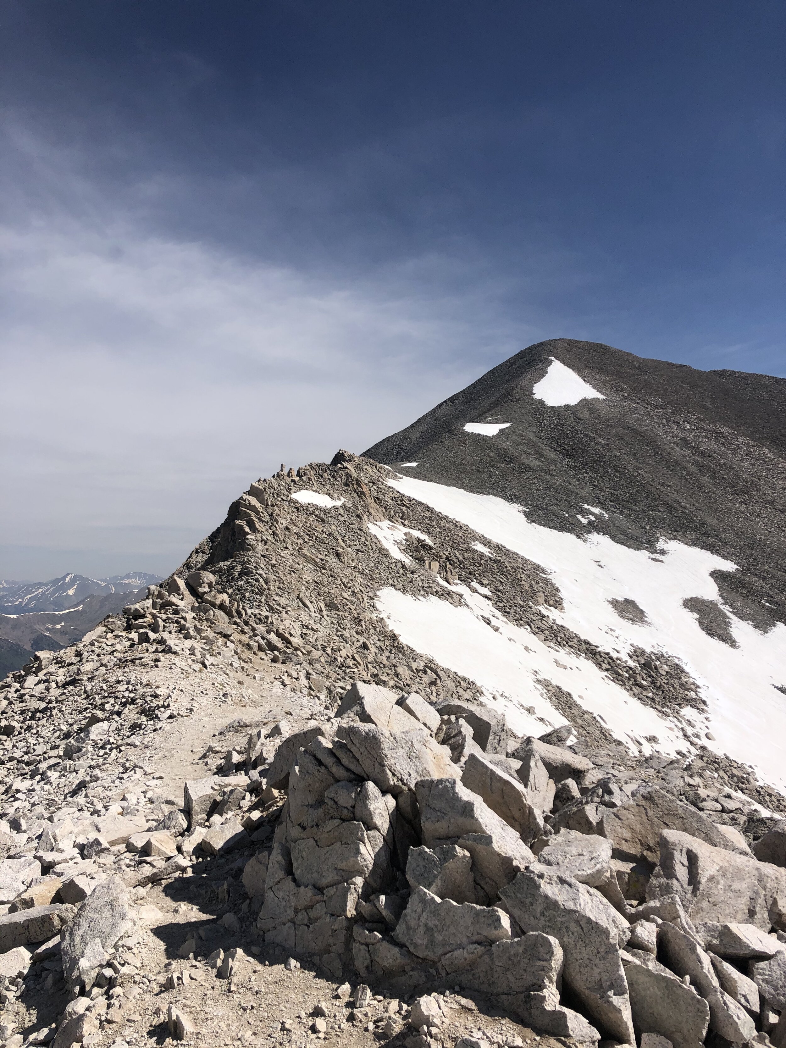
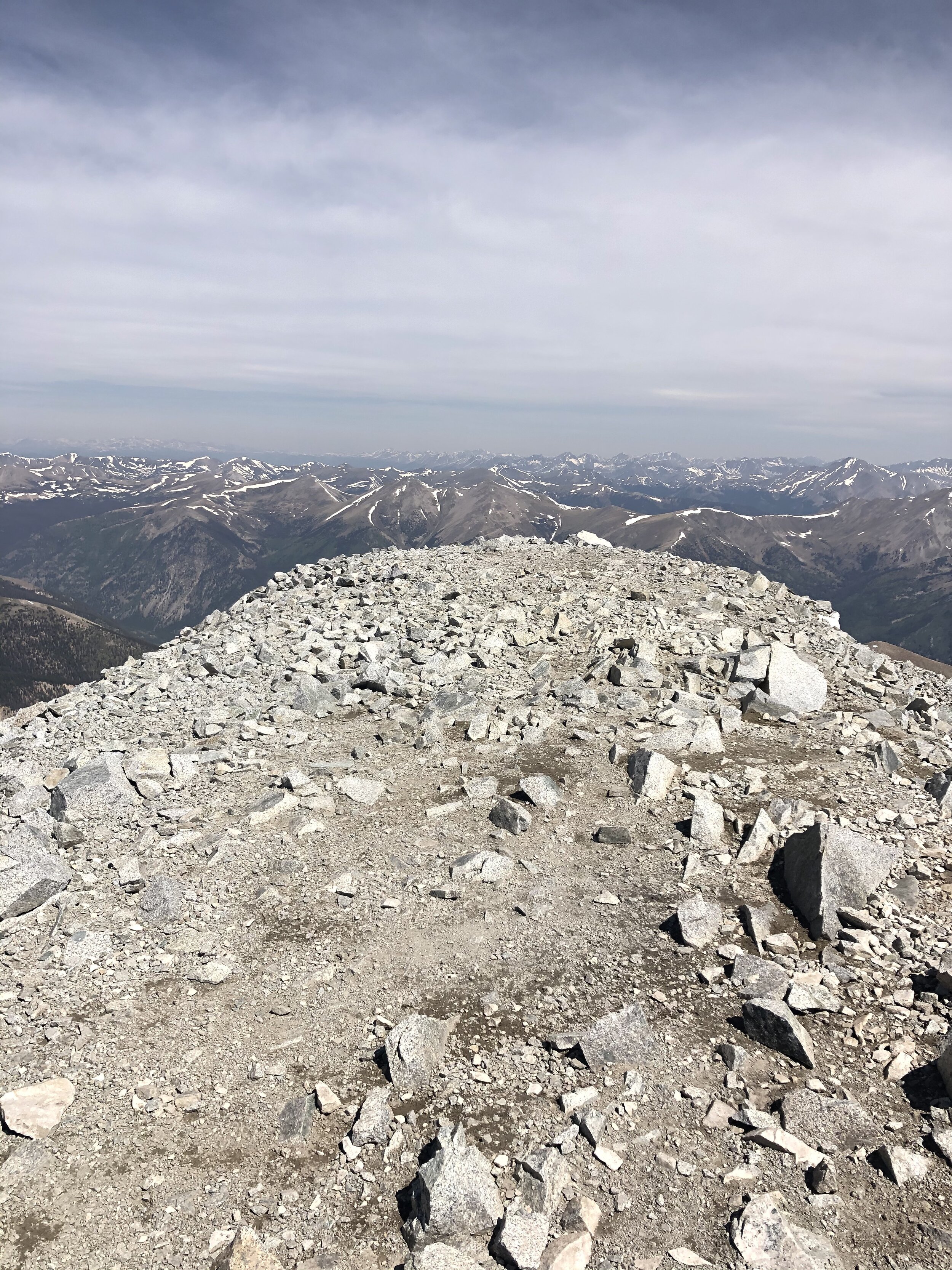
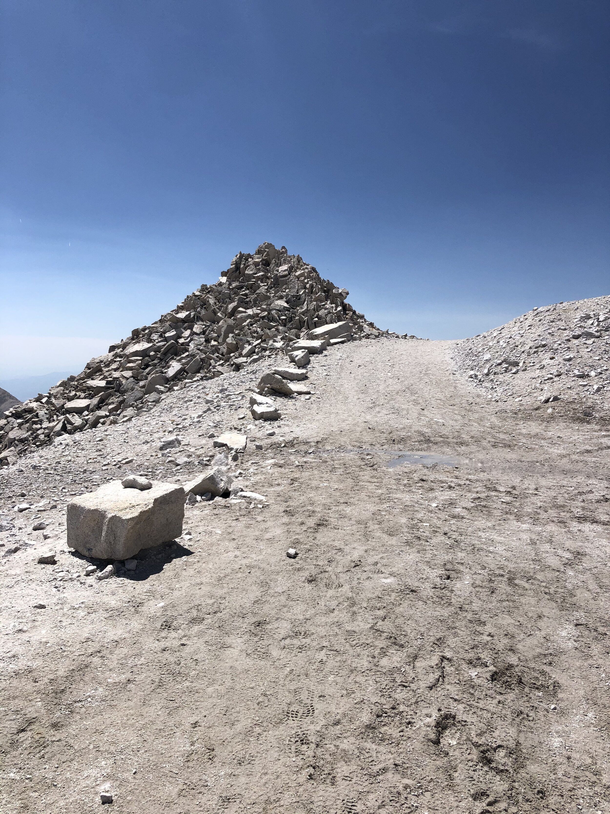
Soon, I started up a short series of switchbacks (1st picture) before reaching a flat area (elevation of 13,800’). From this point on, the hike actually felt like a 14er as you can see in the 2nd picture!!! Finally :)
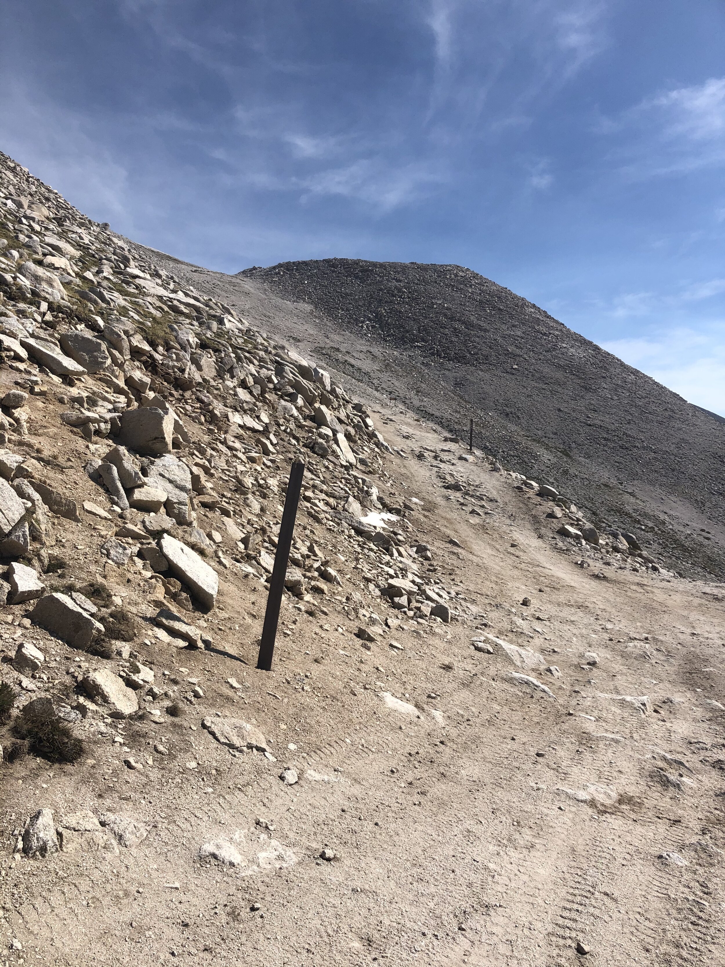
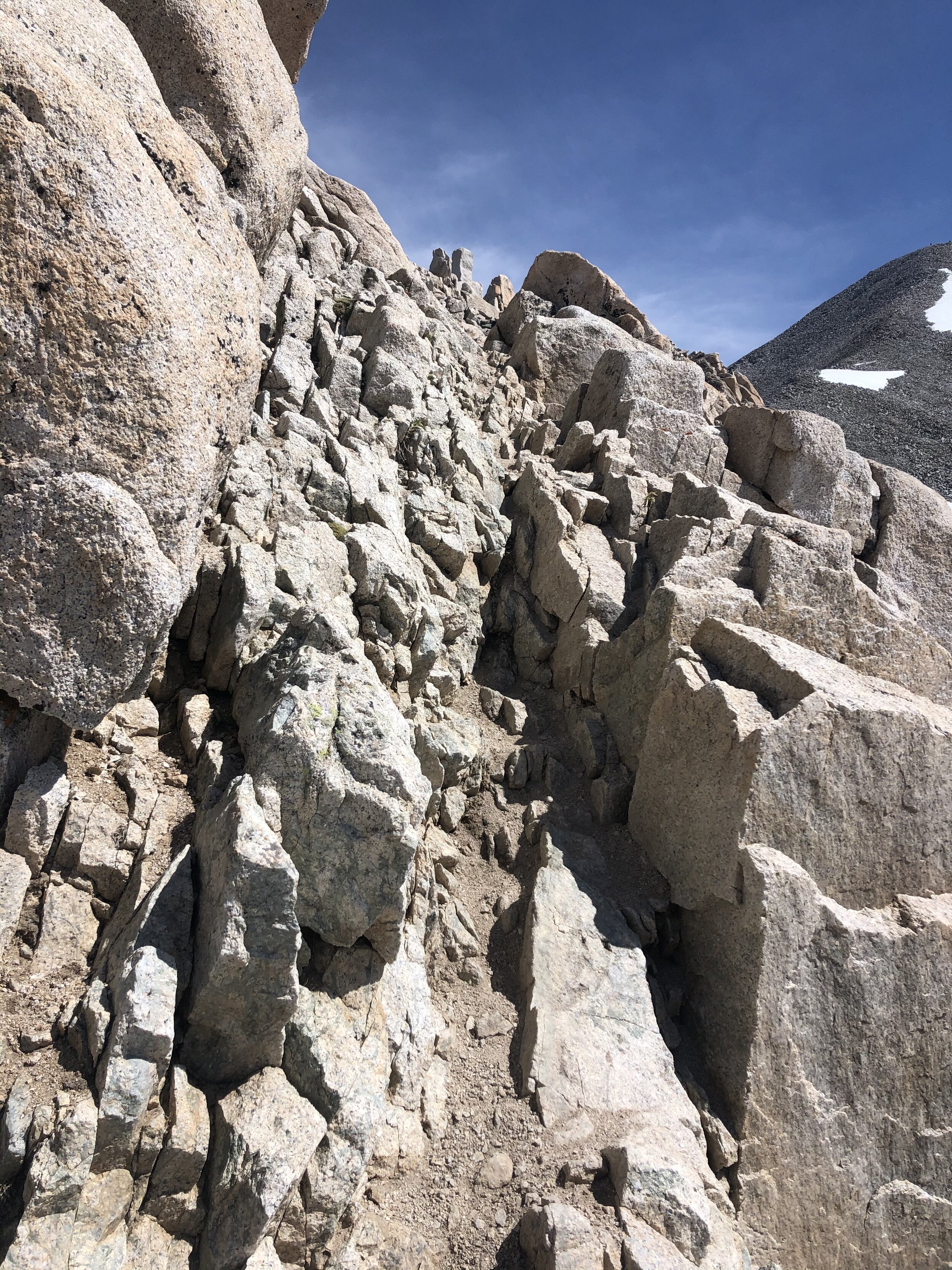
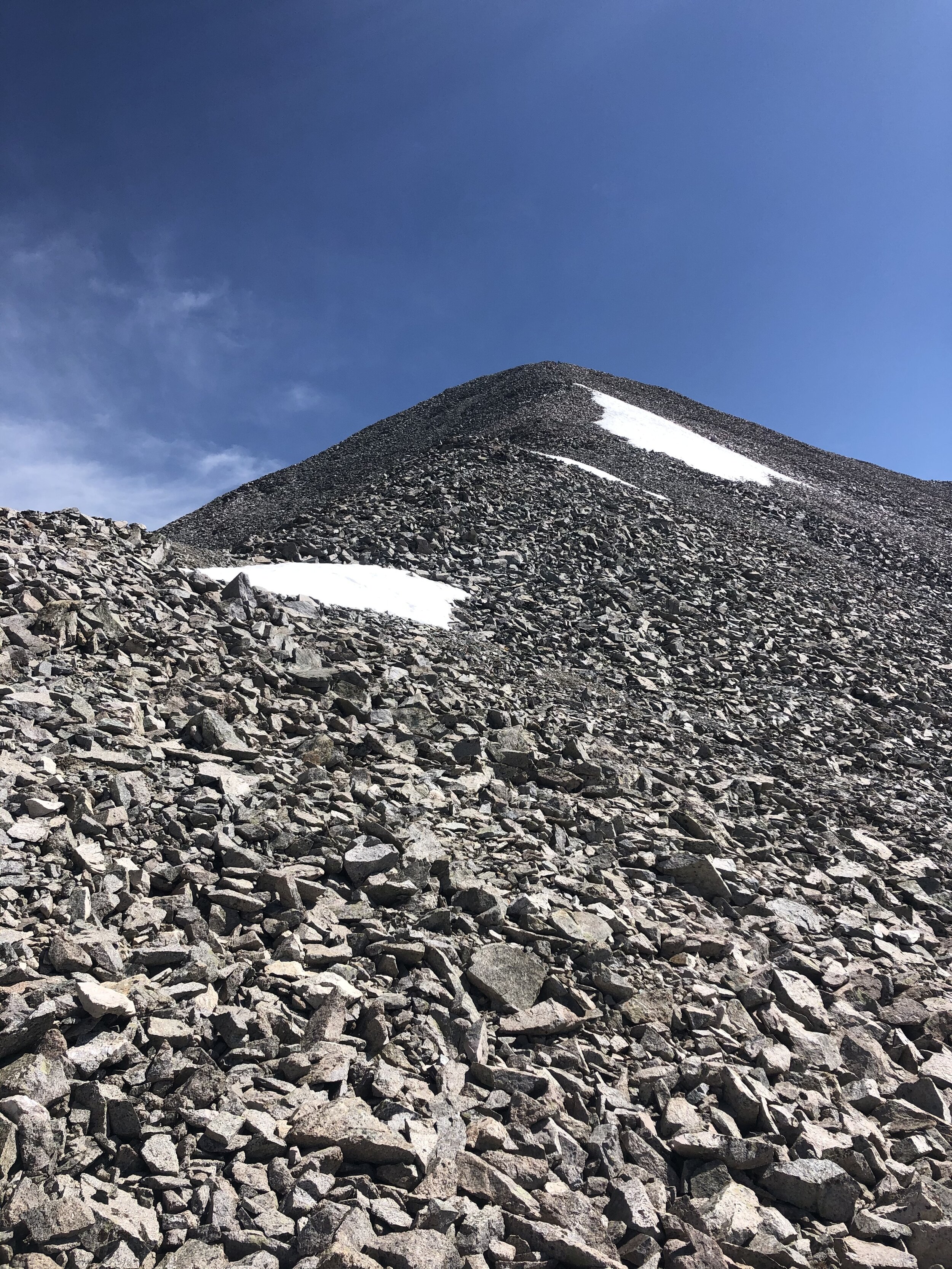
So, from this point on to the summit, I gained about 450’ in elevation. This part was pretty fun, but, obviously, I slowed down a little bit because I was no longer hiking on the simple dirt/rocky 4WD road haha. The last little bit of the hike was basically hiking up on a bunch of talus. There is a path for the most part, but I went off it a little bit for fun haha.
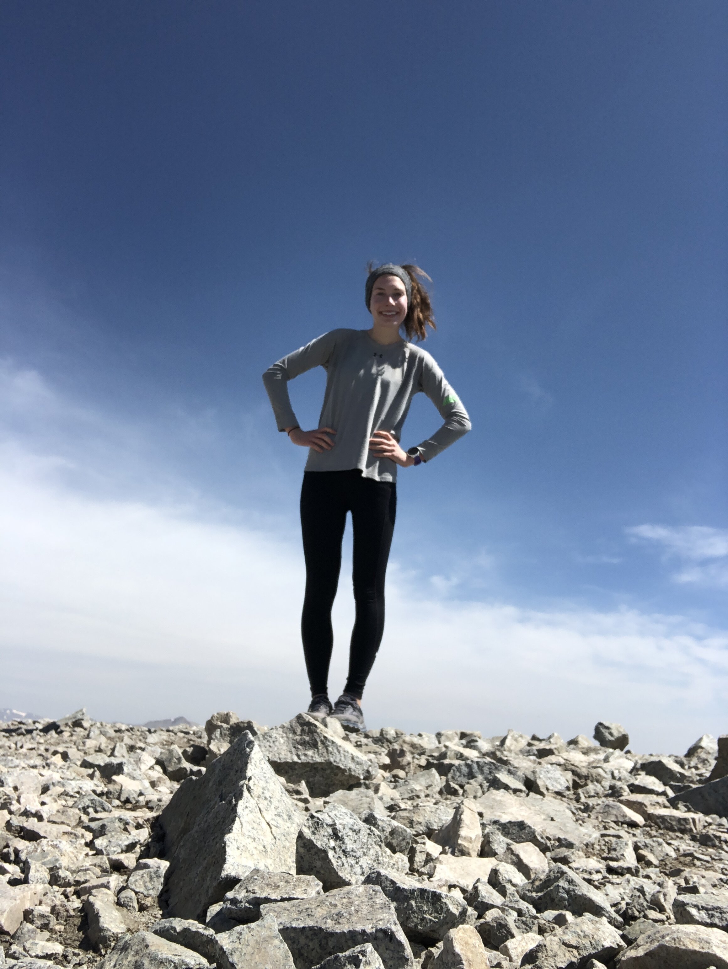
3 hours and 25 minutes/7.62 miles later, I reached the Mt. Antero summit!! ANOTHER SOLO SUMMIT YAY. It’s always cool to be the only person up on a summit; however, self timer pictures are hella annoying to take. They were especially hard to take up on the Mt. Antero summit because, as you can see in the pictures, the summit is just a big flat top with no big rocks. I chilled up on the summit for 20 minutes before starting my descent.
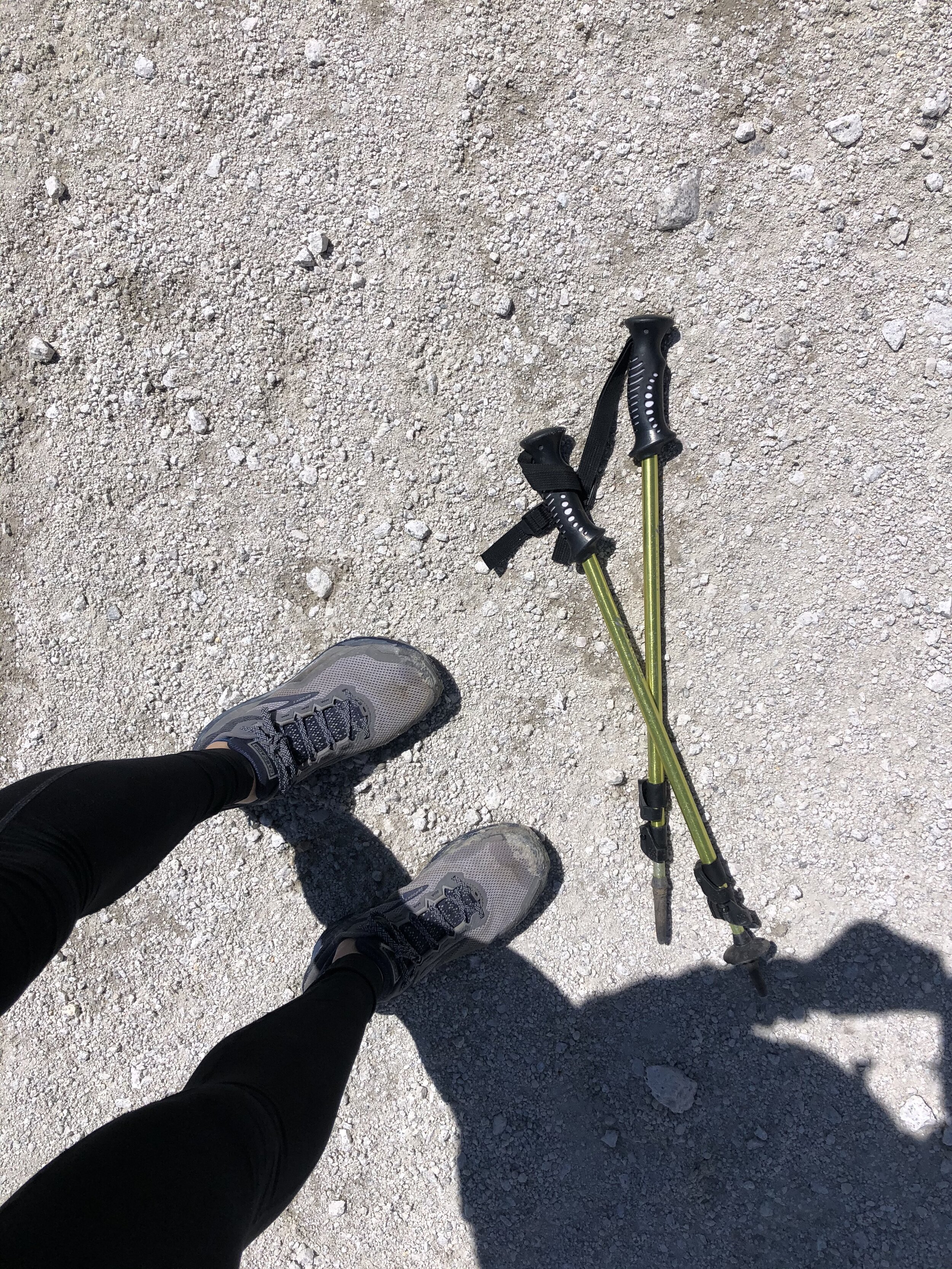
The descent from the summit to the 13,800’ point I mentioned earlier was easy, but sad in that it was the last part of the hike that felt like a 14er :’(. At the 13,800’ elevation point, I took my hiking poles out and used them for the remainder of the hike at an attempt to offset a little bit of the impact on my legs.
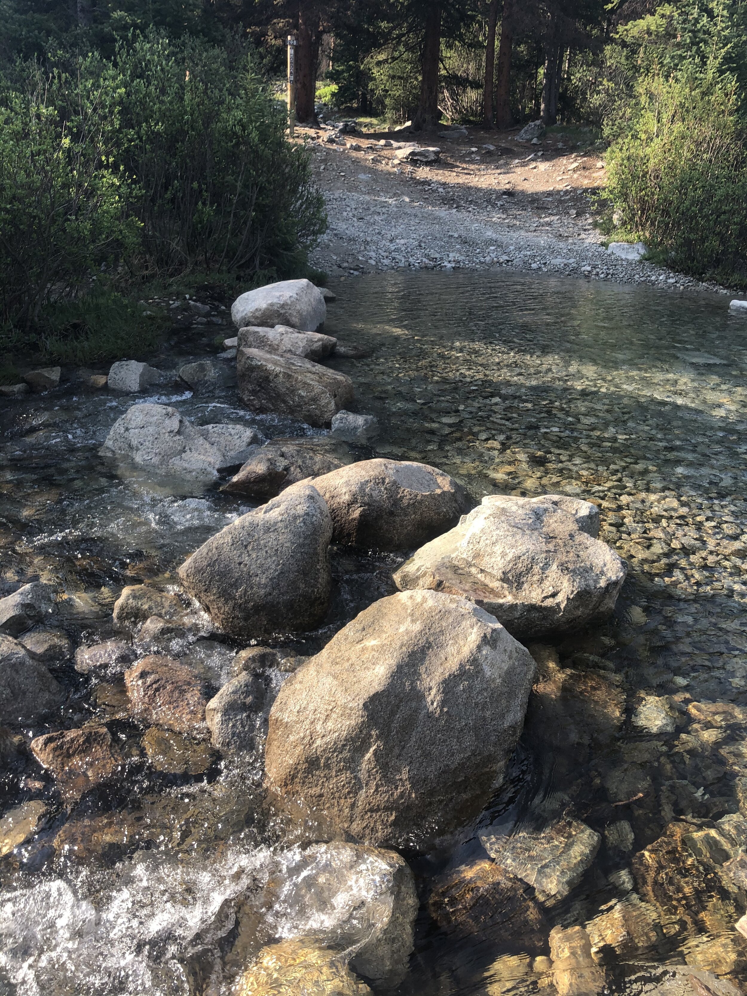
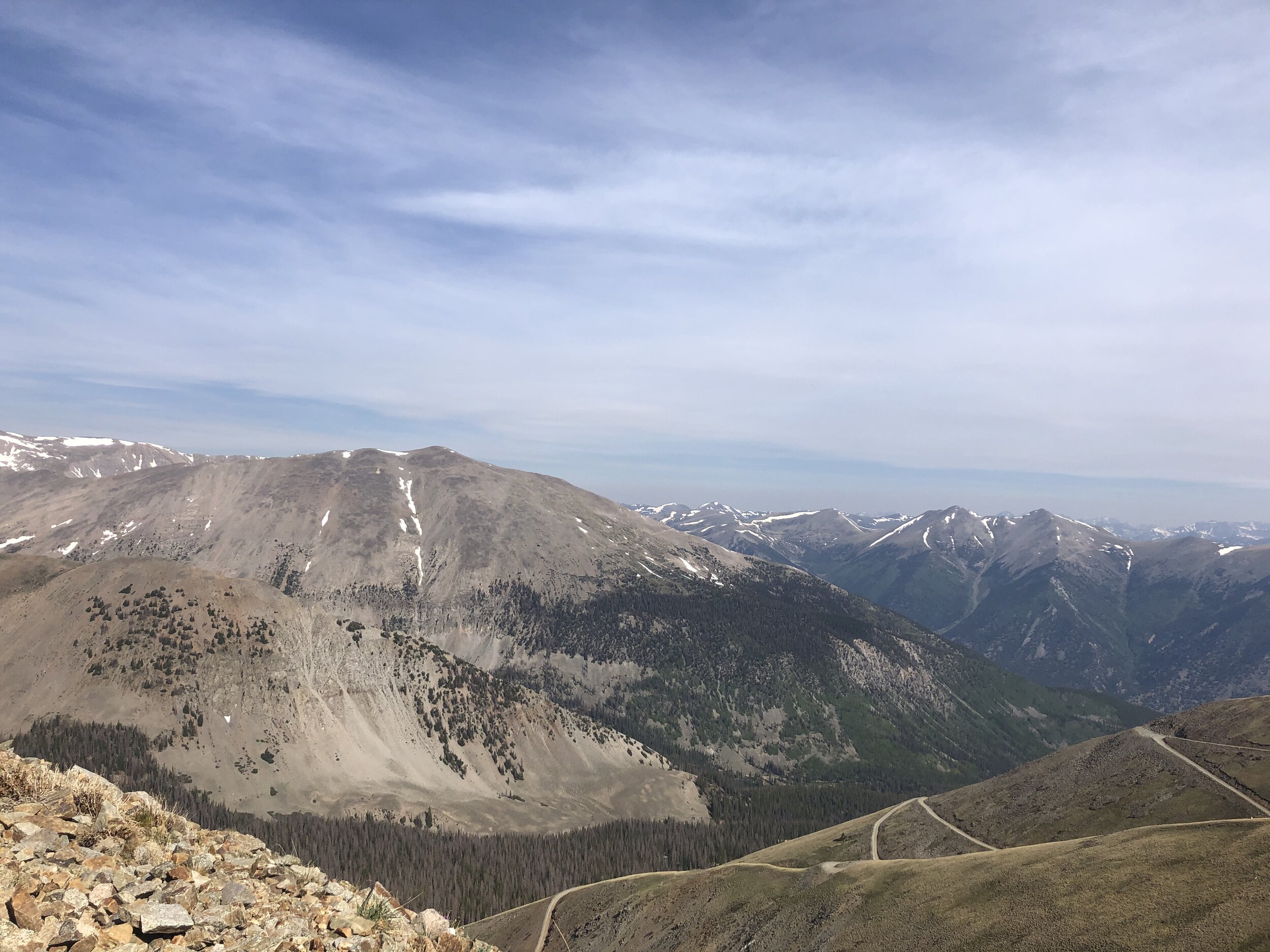
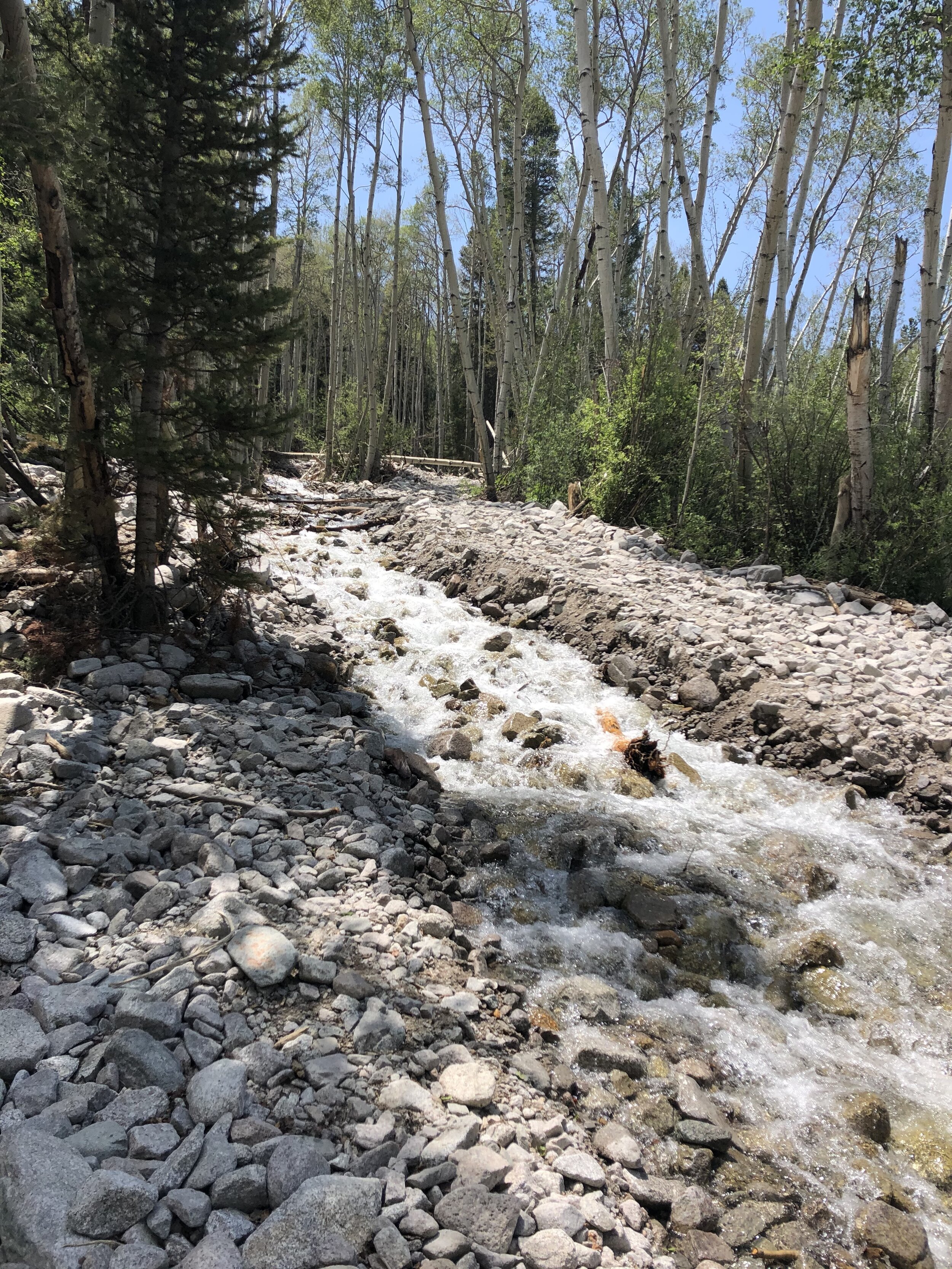
Nothing that noteworthy to say for the rest of the hike! I took some more cool pictures. The 1st picture is of the 4WD road and it’s just cool to see the zigzag path from above! I am happy to report, however, that at the Baldwin Creek stream, I only got my LEFT shoe wet this time…..big gains ;). There is another tiny stream literally 3 minutes before I finished that I didn't mention earlier. I just walked through it lmao because I was going to change into my chacos right when I finished anyways.
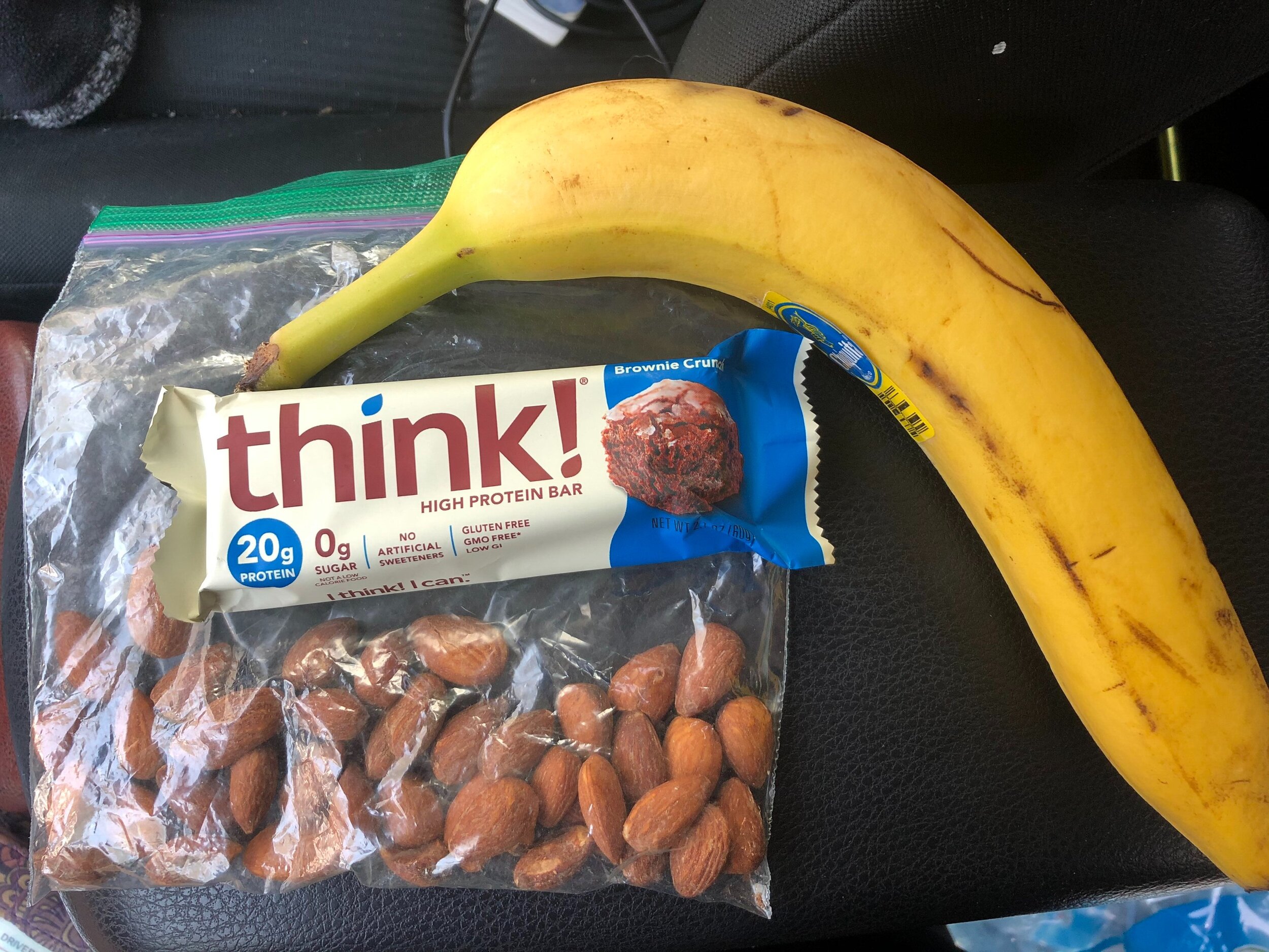
I returned to my car at just under 6.5 hours and a total hike distance of 15.4 miles! Certainly a longer mileage hike, but not really a longer hike time-wise because of the easy terrain for the majority of the hike. One thing to note (haha) is that last year, I was obsessed with trail mix. This year, my trail food has been bananas, think! protein bars, and almonds. The picture below is what I ate after my hike, but, obviously, I ate before and during the hike also haha. Greek yogurt is still a part of breakfast, though!! 4 bananas consumed today haha. I left the trailhead and headed home. There was construction of US-24 which probably added on 30-40 minutes on to my drive back but whatever! I got my 30th 14er hollaaaaaa