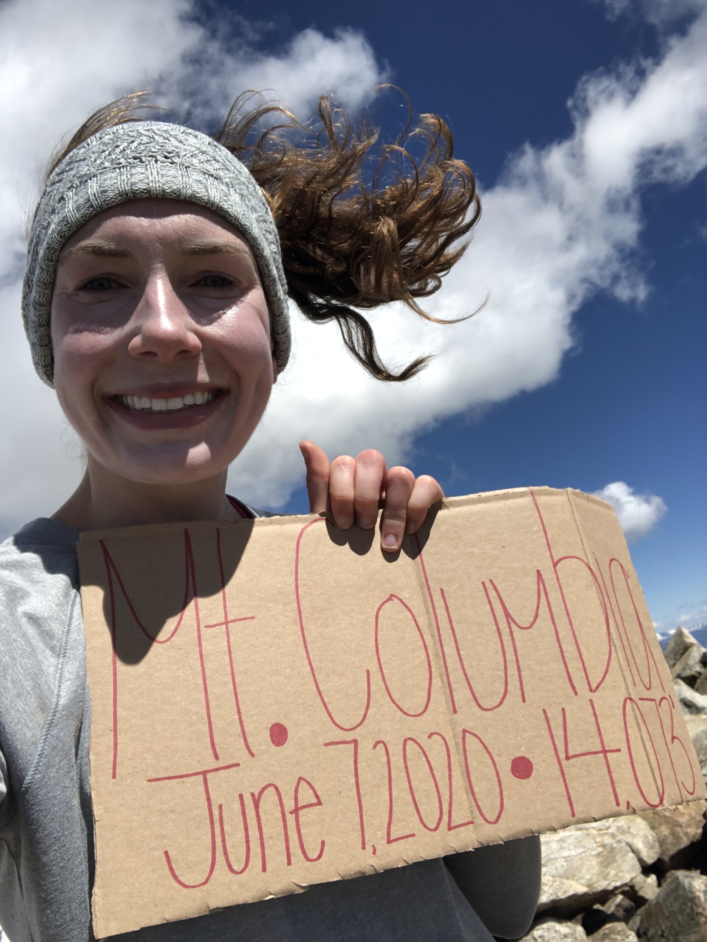
Mt. Columbia
June 7, 2020 / 14,073’
RT STATS: TOTAL TIME - 6 HR & 5 MIN, 12.38 MILES, AND 4,152’ ELEVATION GAIN
TIME STATS: 3 HR & 7 MIN TO SUMMIT, 20 MIN AT SUMMIT, 2 HR & 38 MIN BACK TO CAR
RATING (HOW MUCH I LIKED THE HIKE): 6/10
THIS HIKE WAS HELLA WINDY ABOVE 13,000’. Yes, that is how I would like to begin this post. 100% Type 2 fun, I must say. I’ll talk about it later haha.
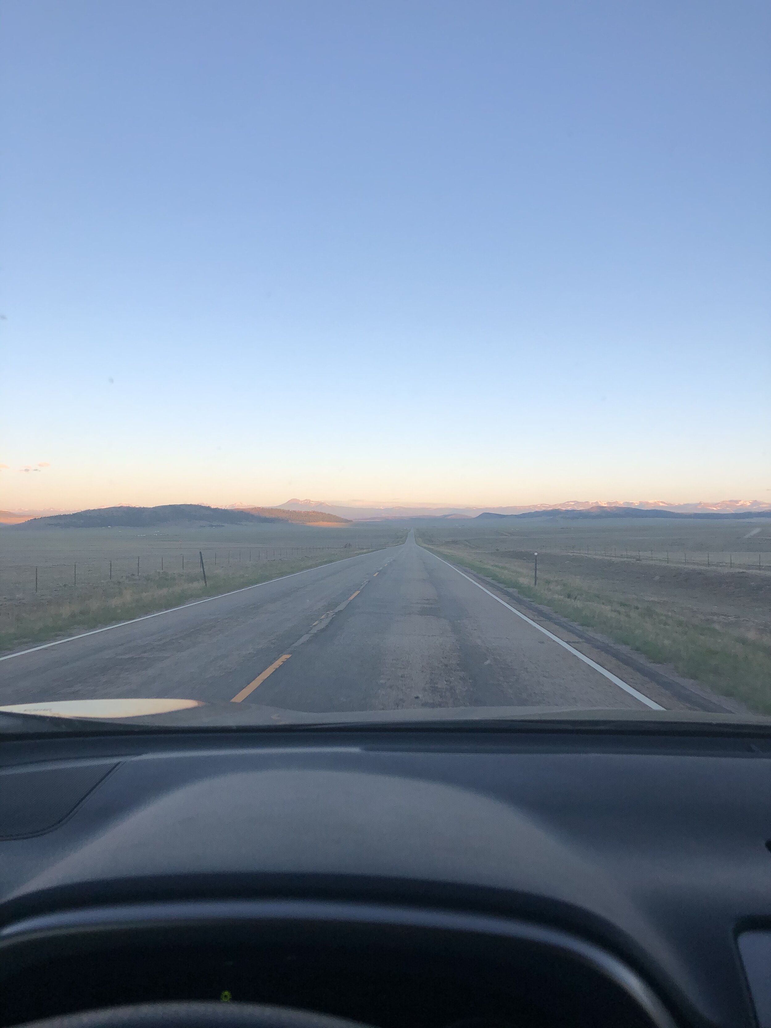
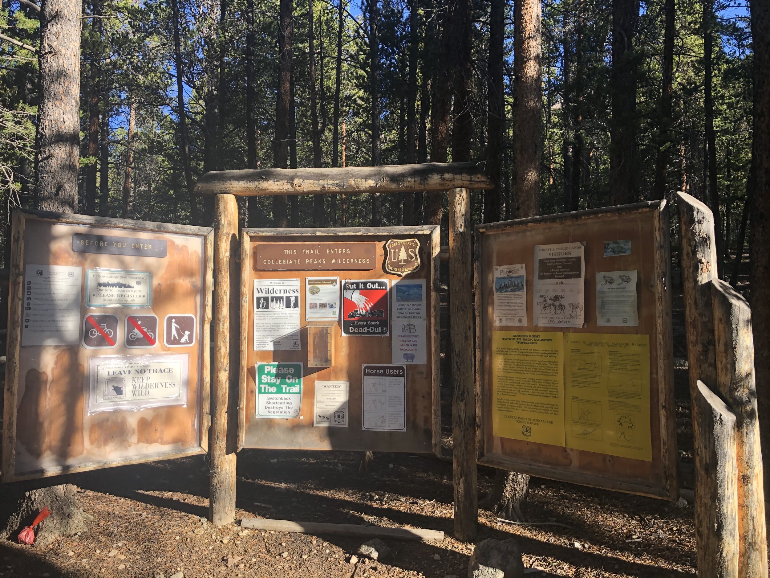
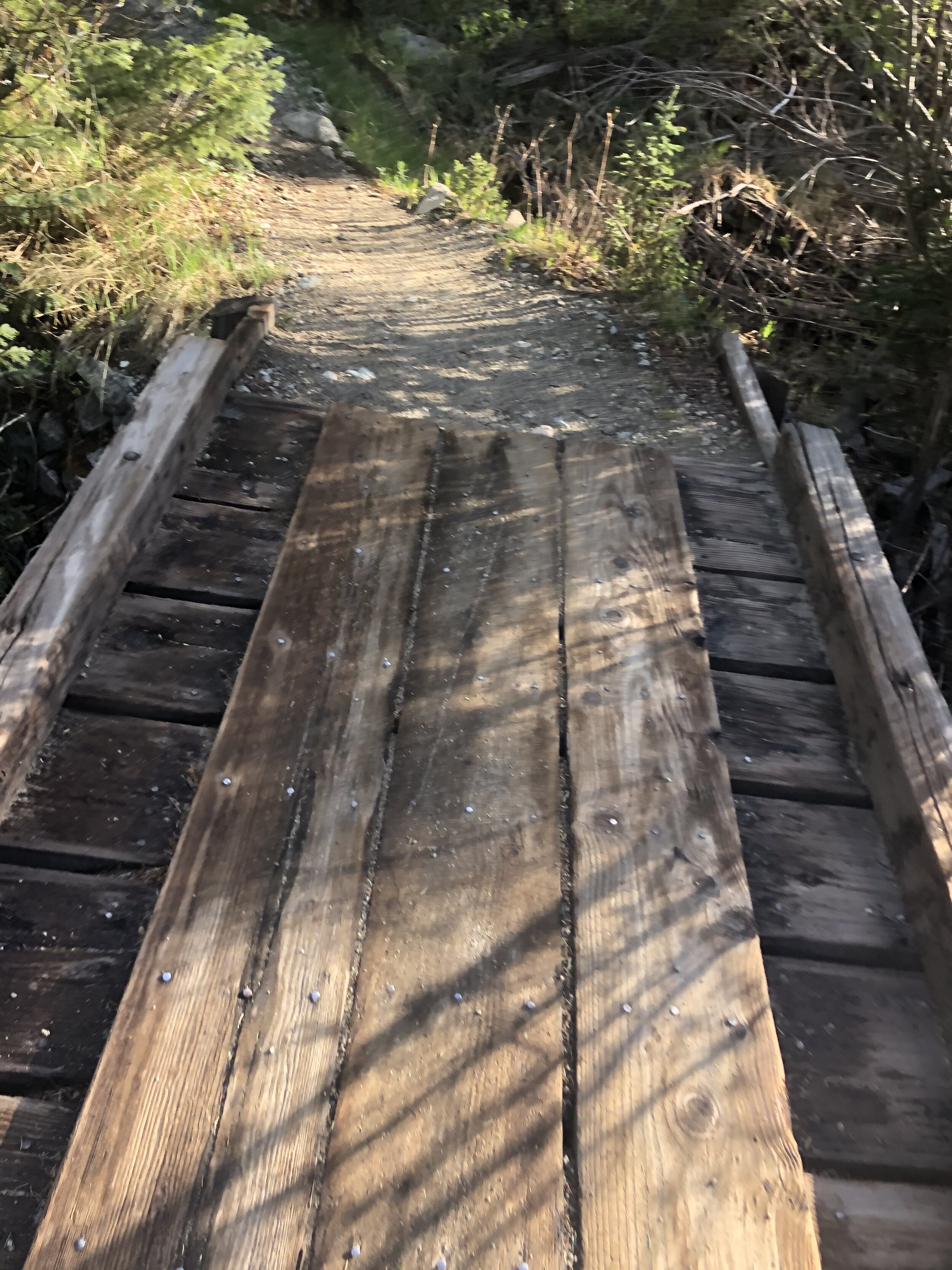
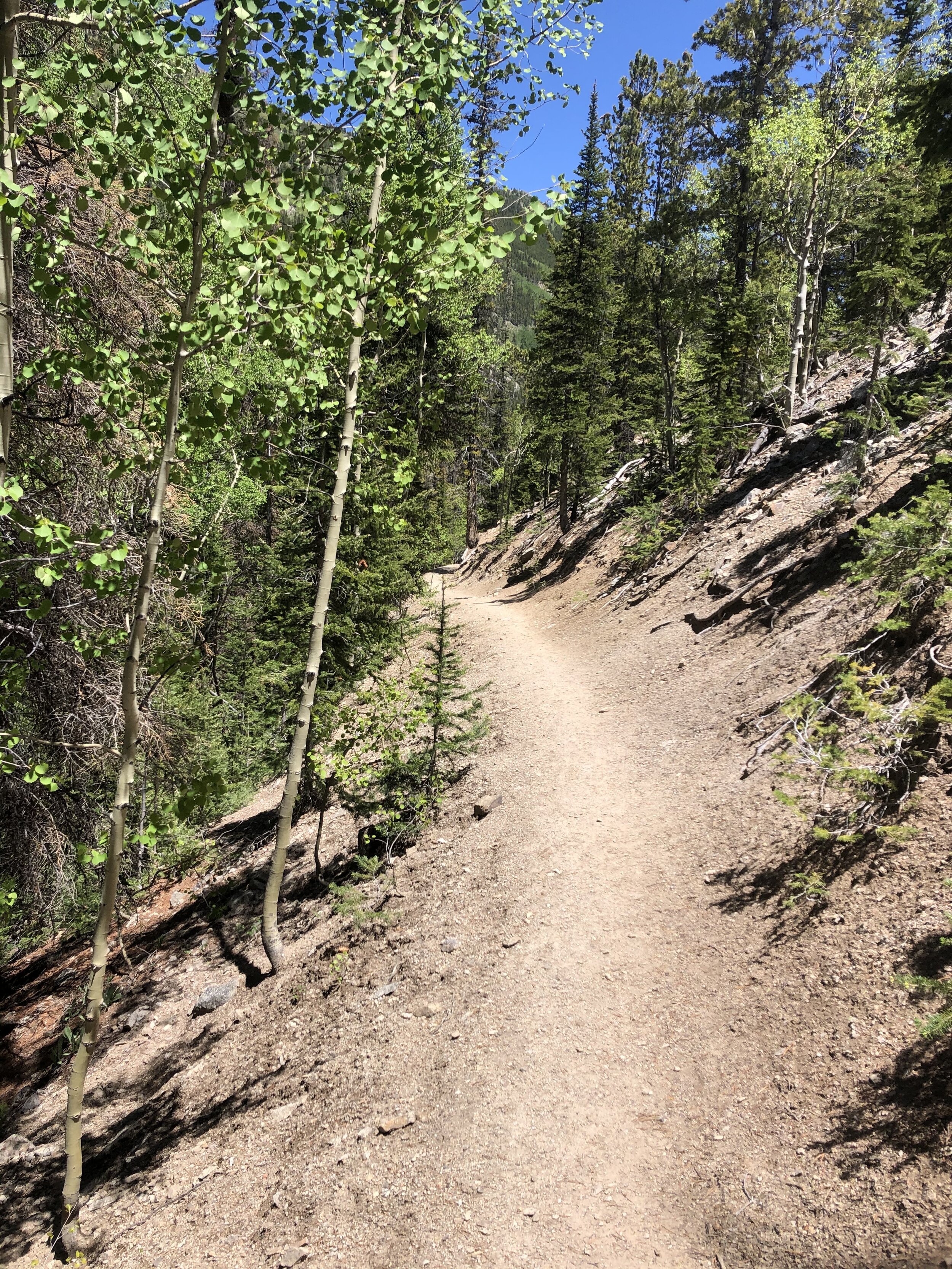
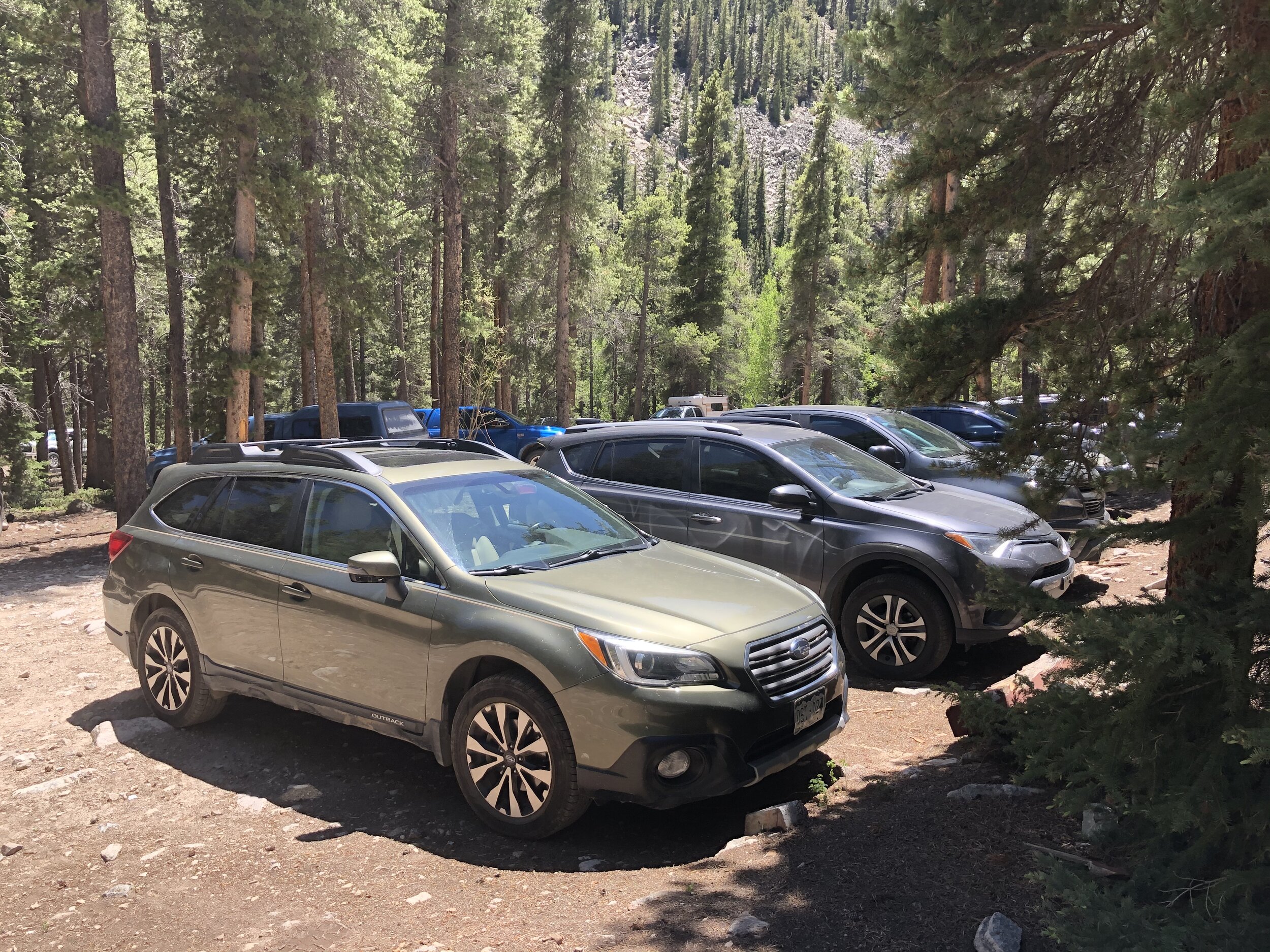
Well, I left the Springs a little before 5 am to head off to North Cottonwood Creek Trailhead to knock off Mt. Columbia-#29/another solo 14er for me!! Beautiful ride driving along as usual. There was only one rough spot on Chaffee County Road 365 and the rest of the road was just a typical rough 2WD road. I started my hike at 7:30am at just below 10,000’ elevation.
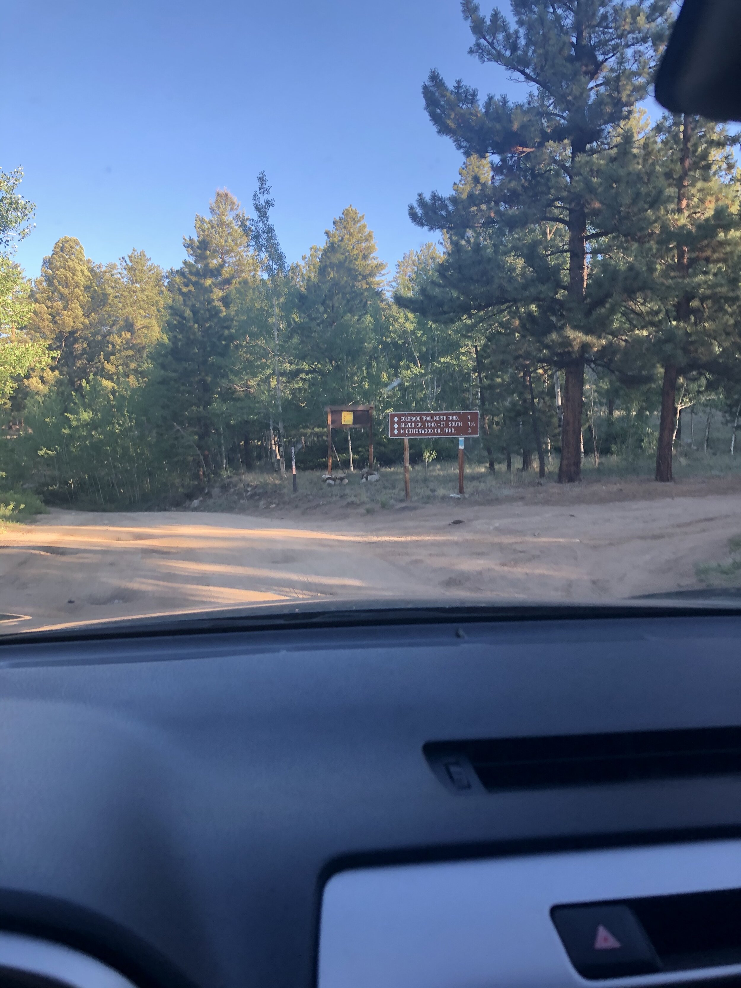
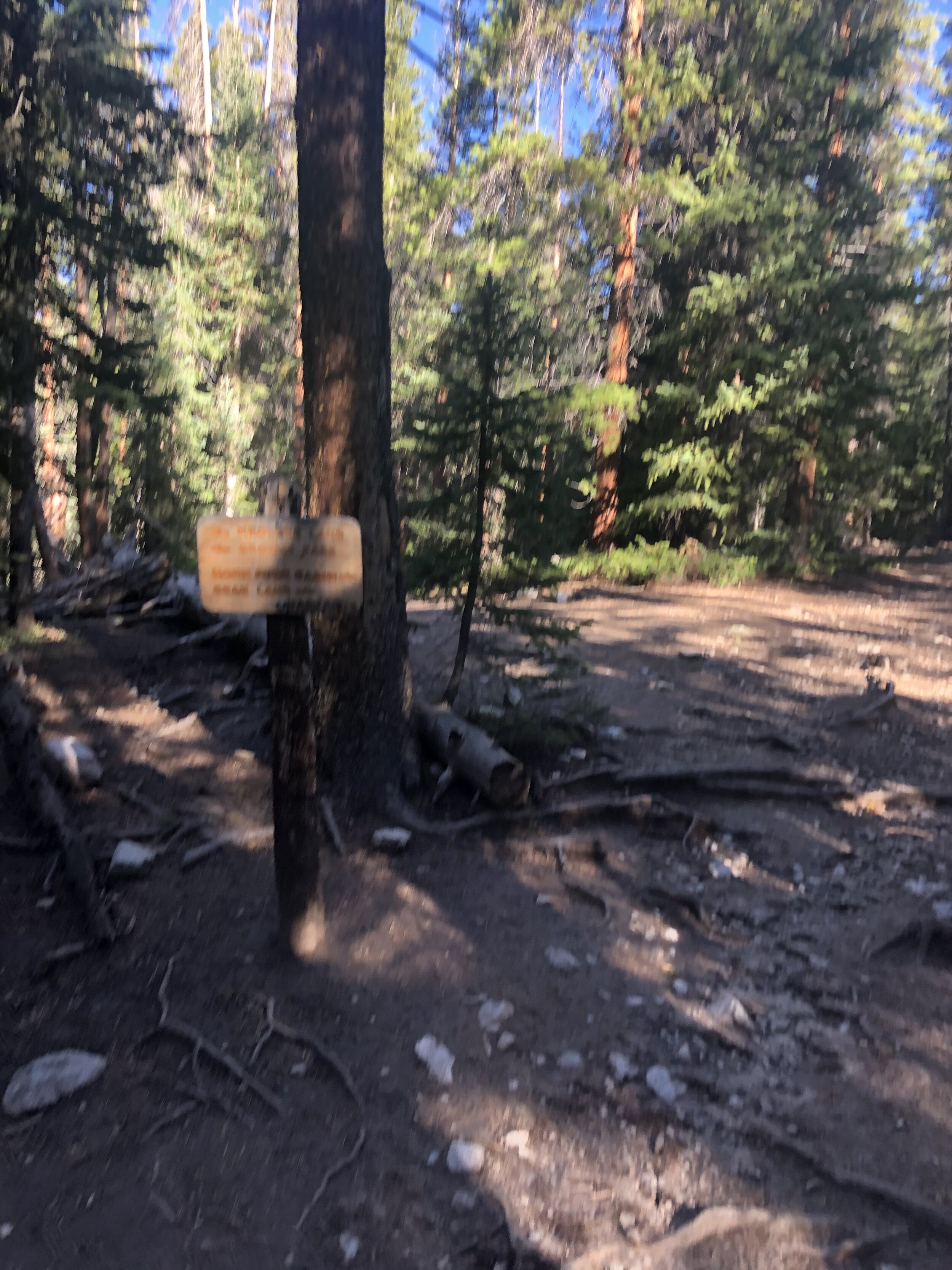
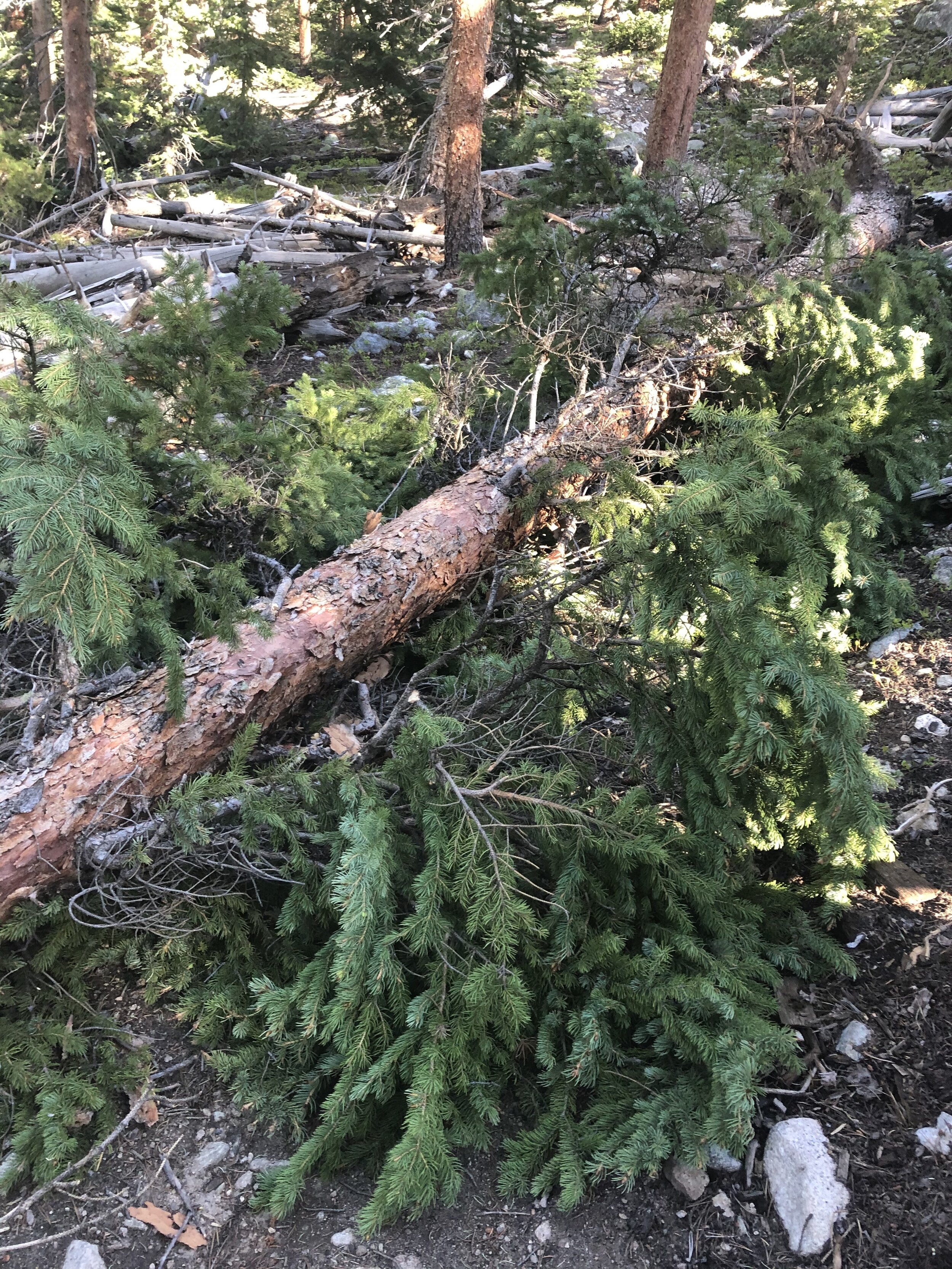
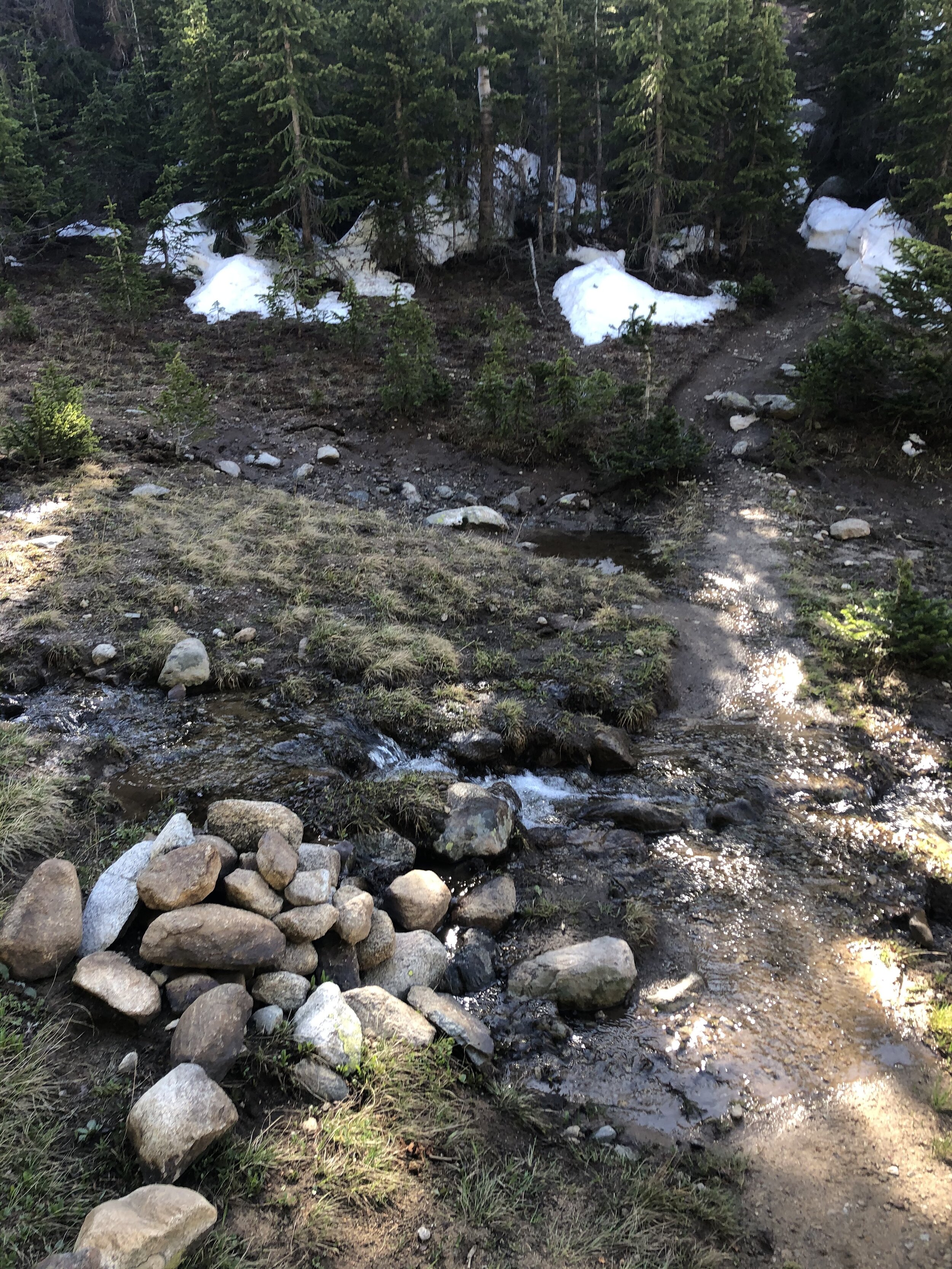
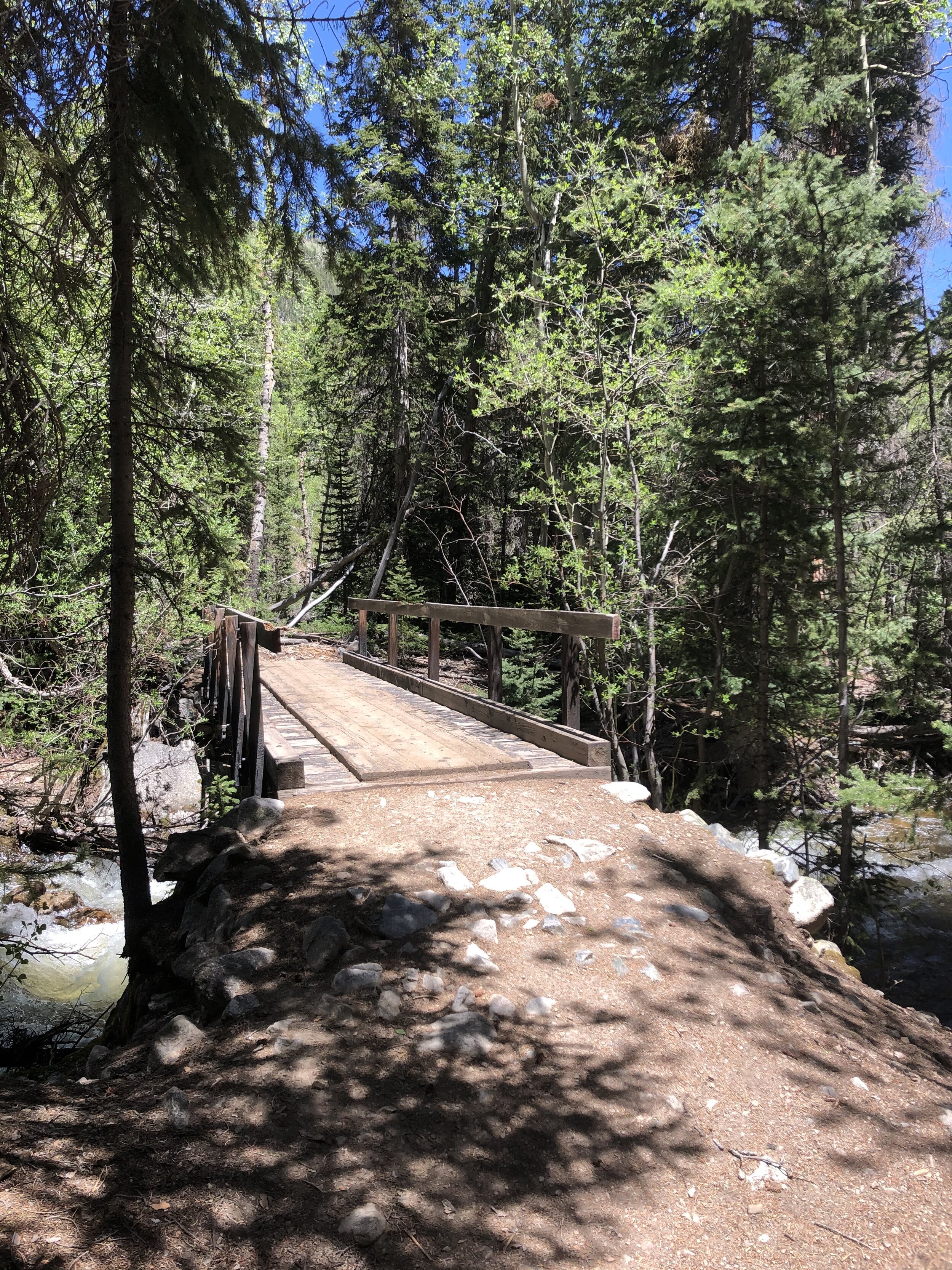
The first few miles of the hike were extremely flat…barely any elevation gain. I crossed a couple bridges before turning right on a trail junction toward Horn Fork Basin and Bear Lake (blurry af picture, my bad haha). Soon after this, I started counting fallen trees on the path. I think I ended up counting 7 or so…. not that they are difficult to go around, but I just thought that there were so many. I was just there counting fallen trees on the hike for amusement.
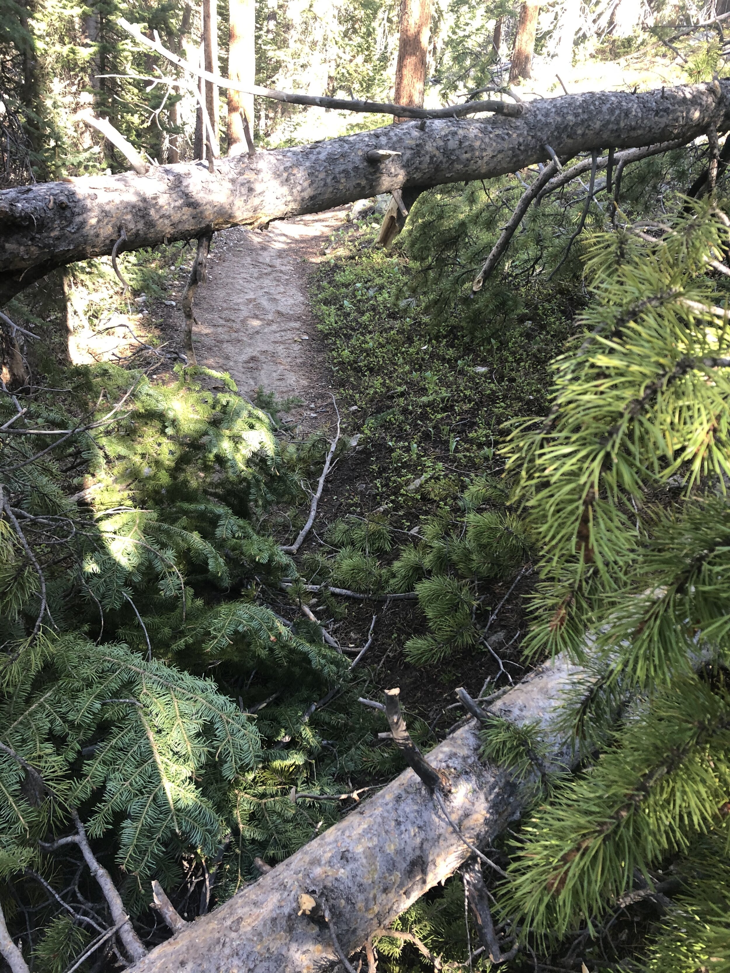
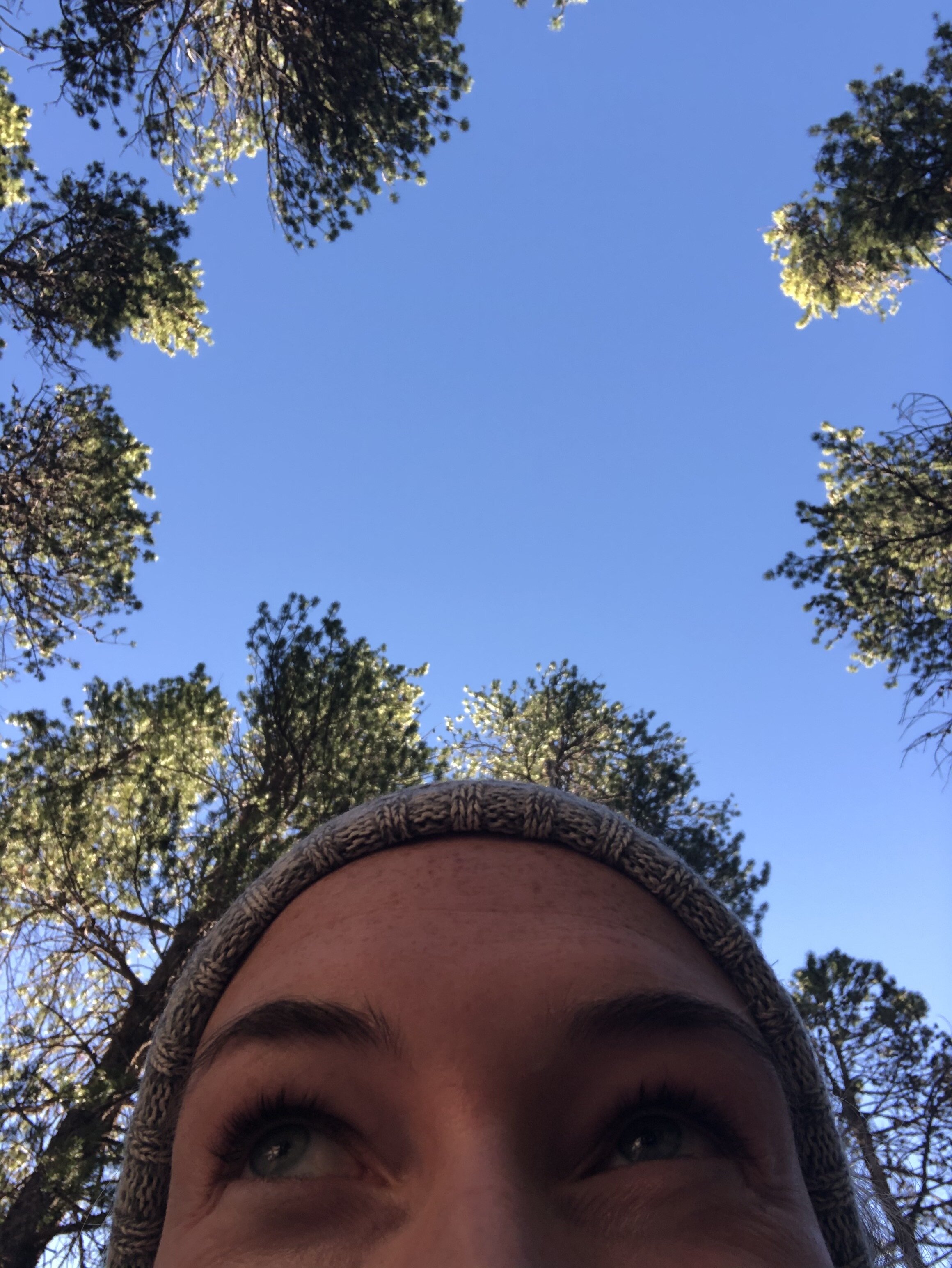
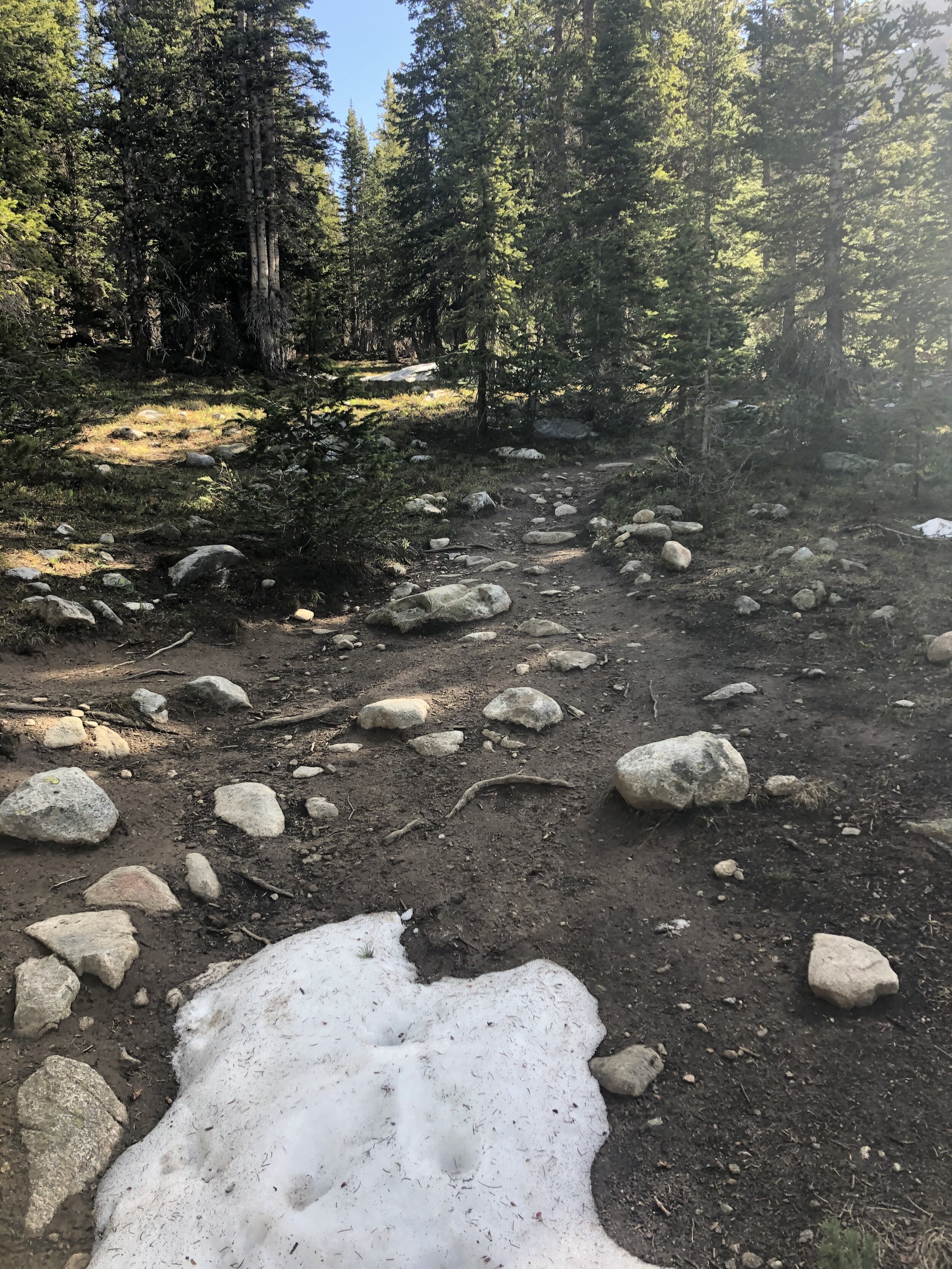
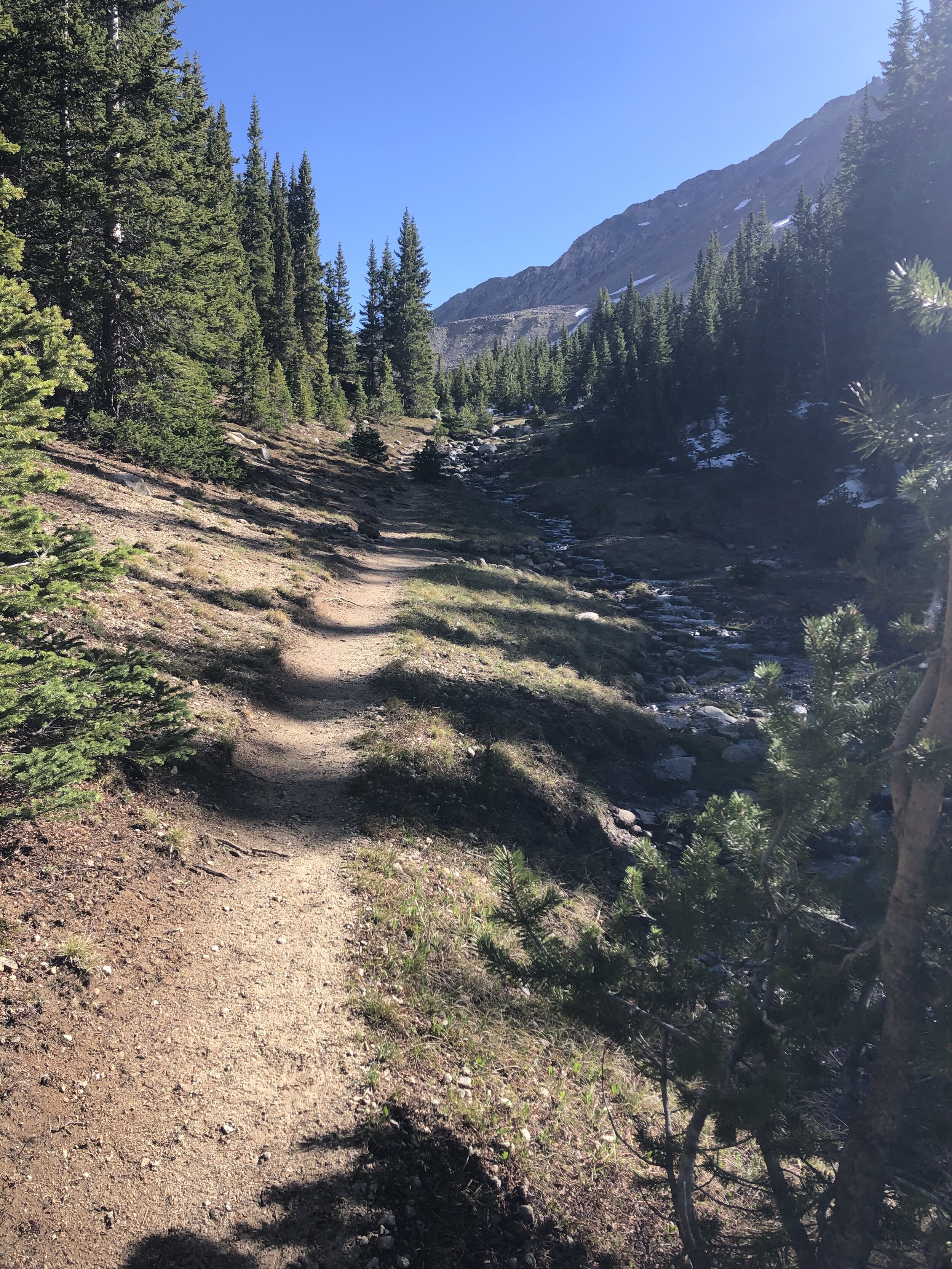
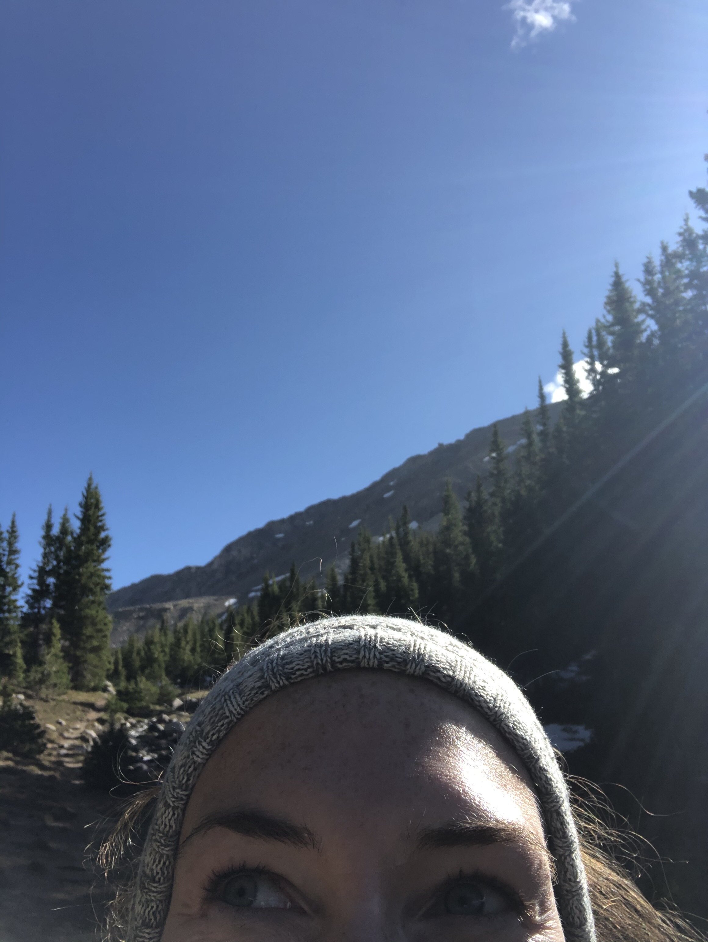
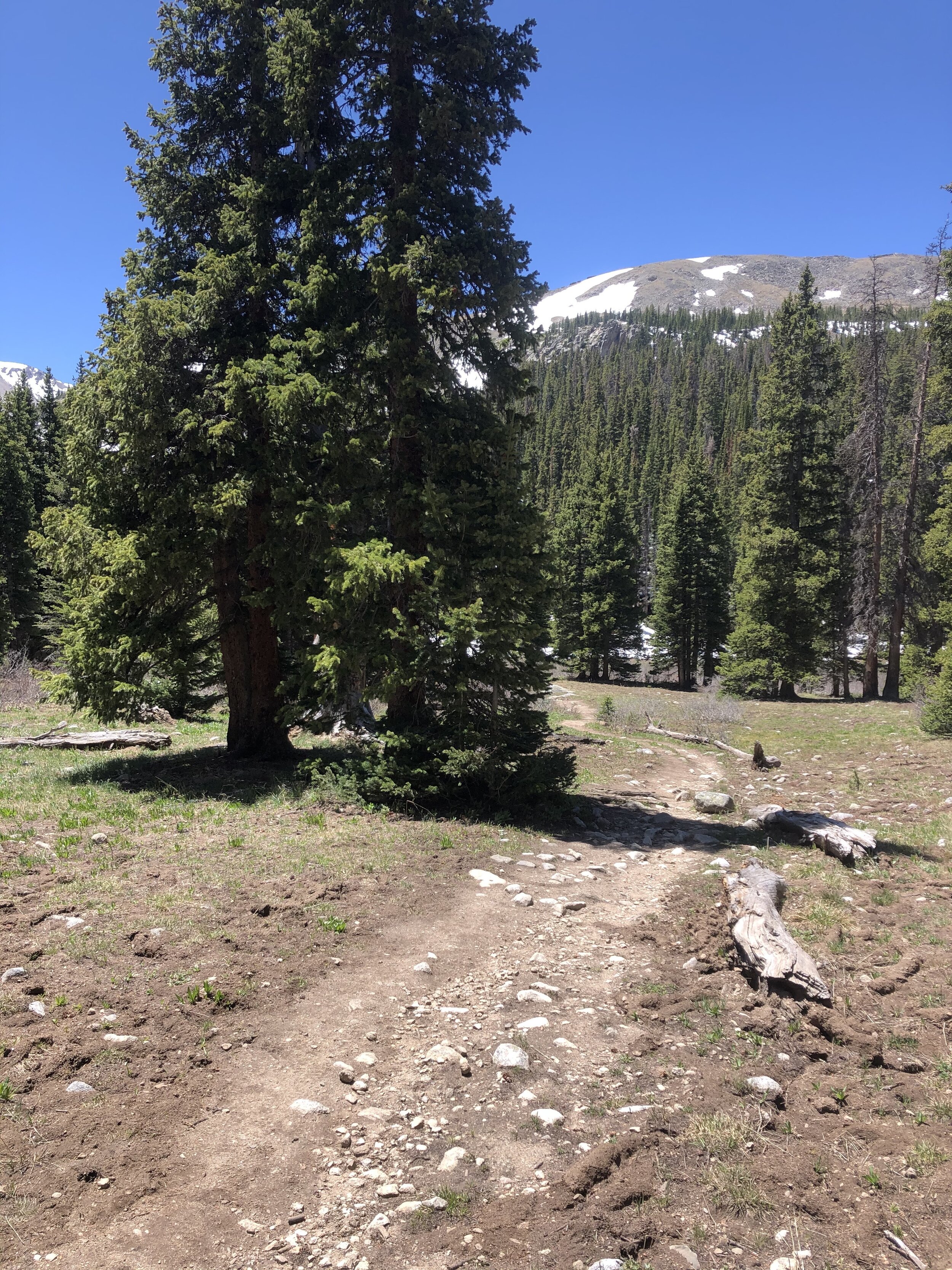
I kept trekking along to about 11,500’ and took a trail off to the right (first picture). Shortly after, instead of going straight (second picture), I went on a trail to the right (third picture) and went back under treeline. I took another Kristin selfie yo.
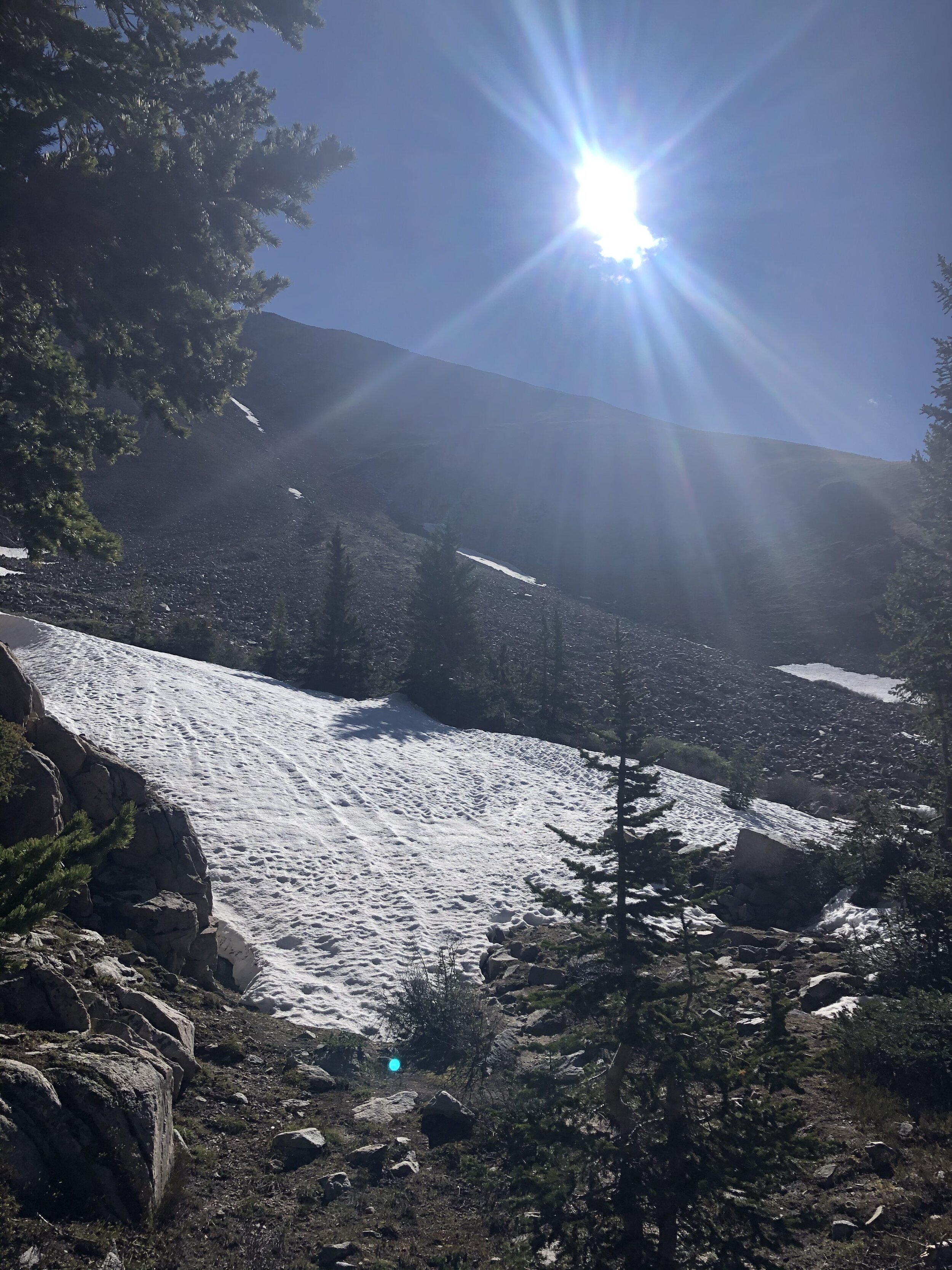
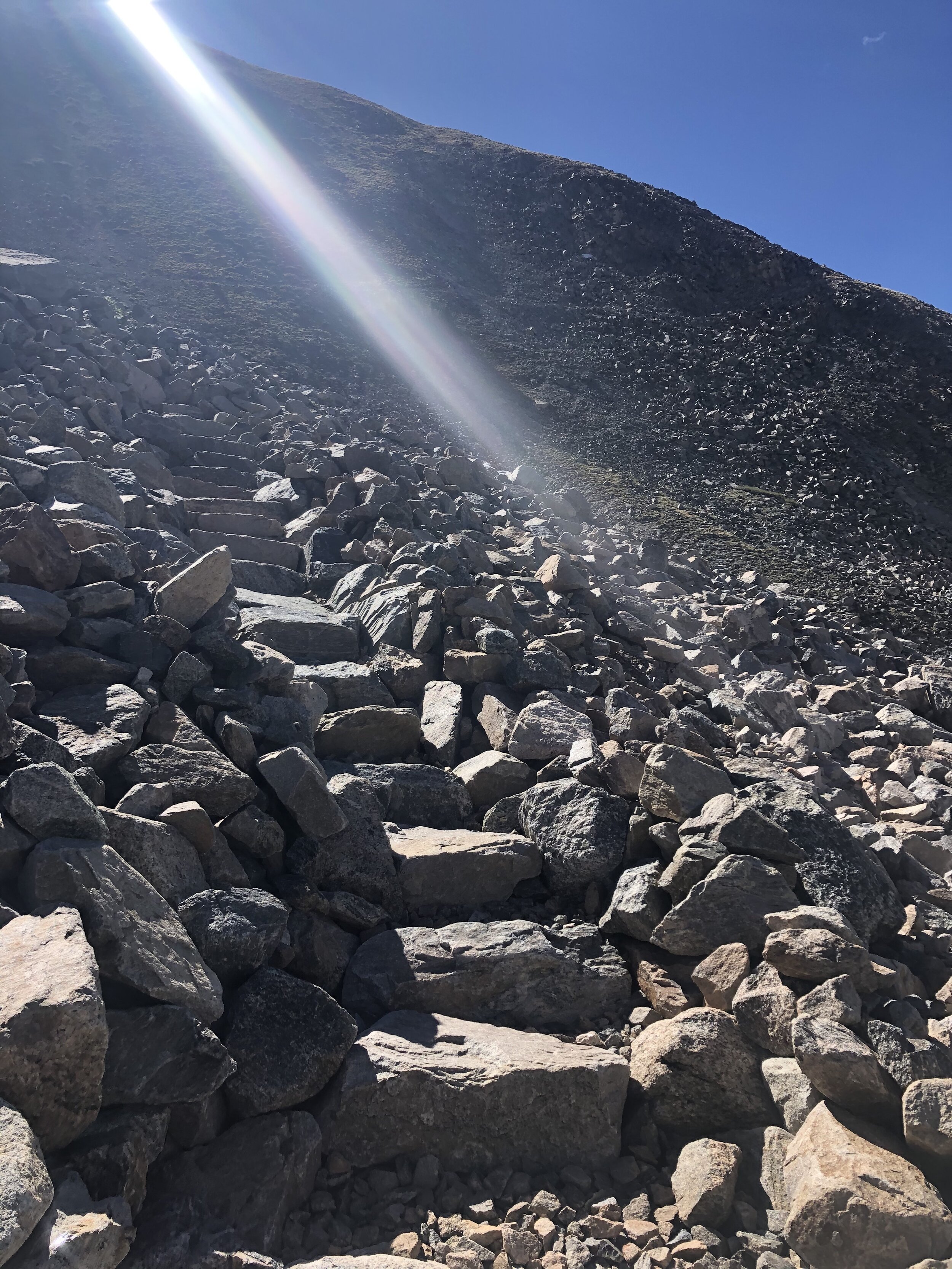
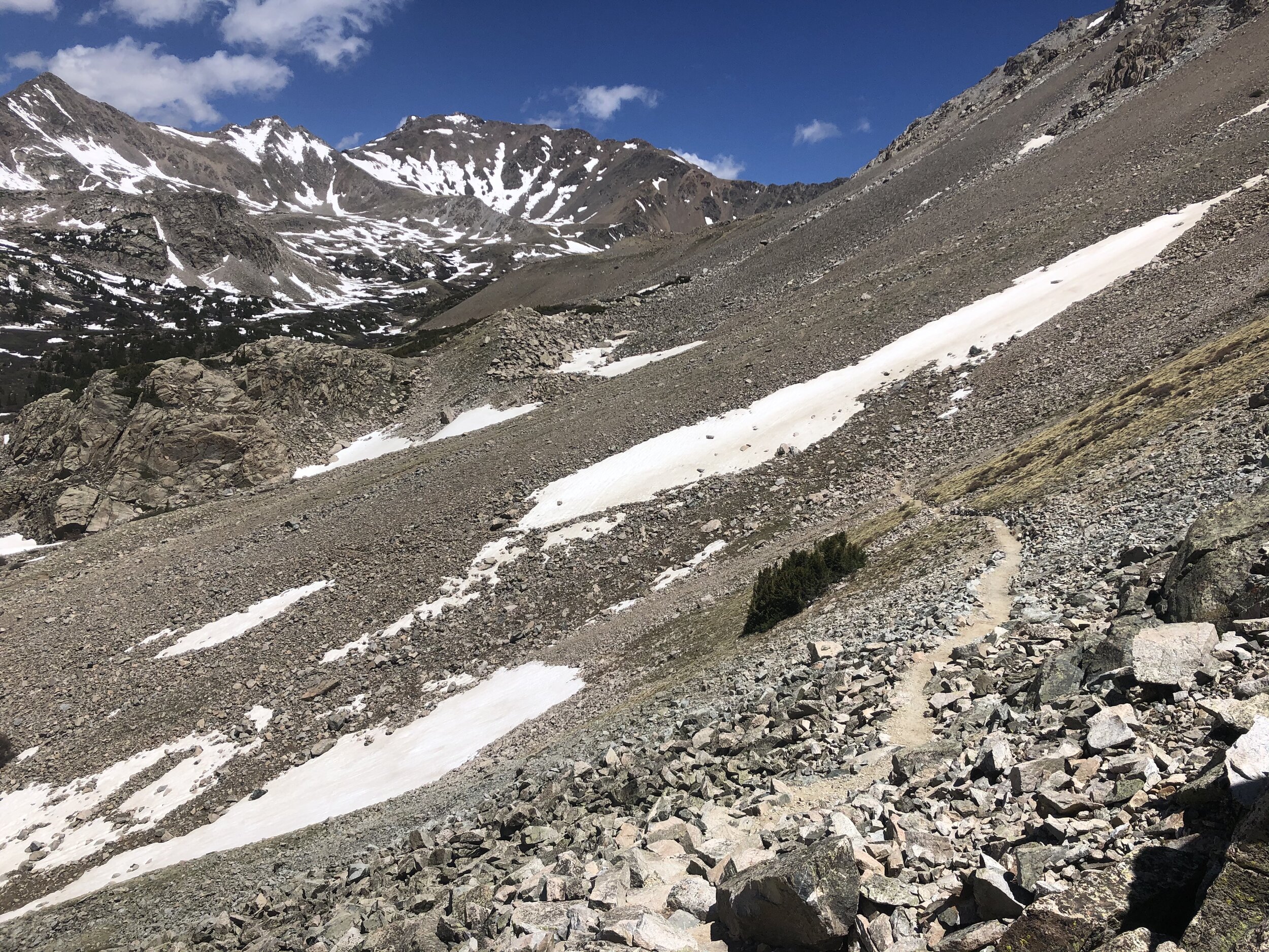
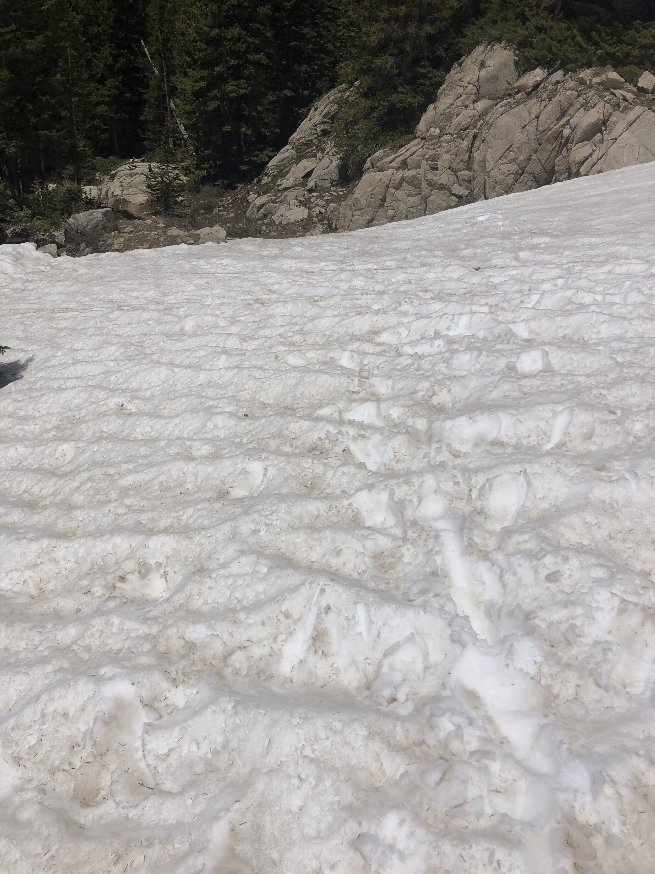
Once again and soon enough, I got above treeline. A few snowfields needed to be crossed….the largest maybe spanning 50 yards or so (totally making this number up, but it seems accurate lol). I did not posthole once and that is always nice haha. Basically right after the snowfields, I got to ascend this wicked stone staircase—made me feel like I was walking up into a castle or something.
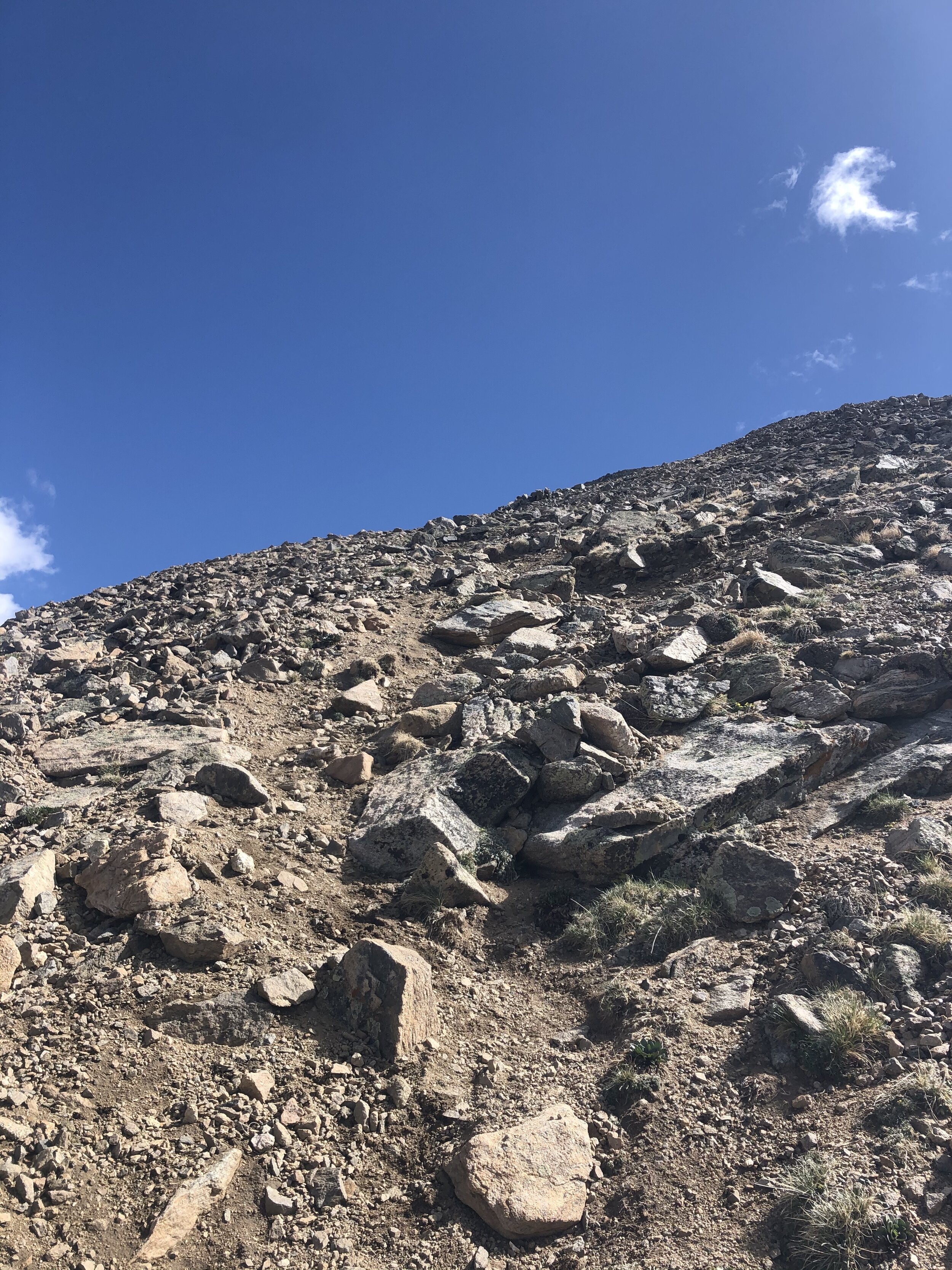
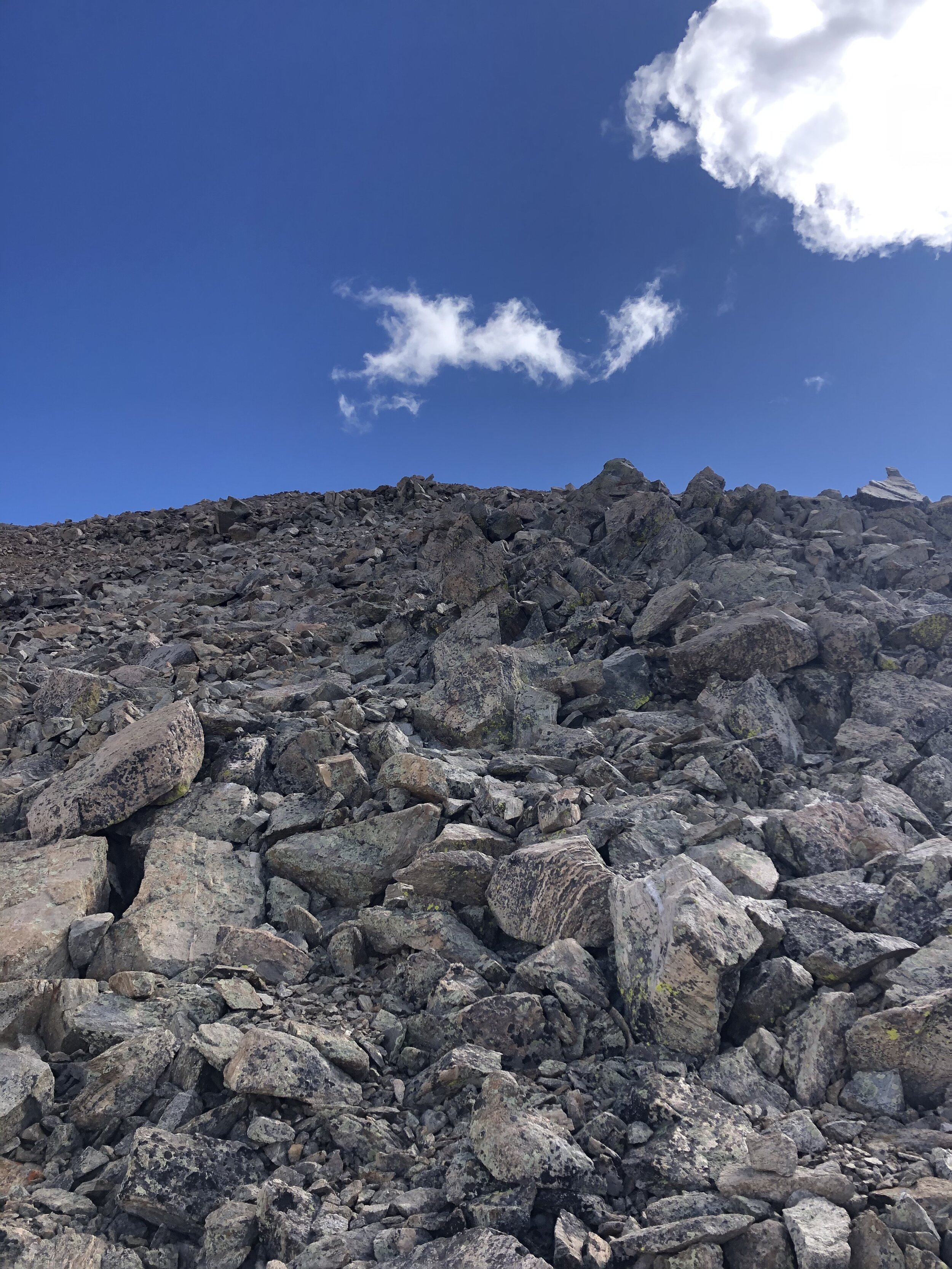
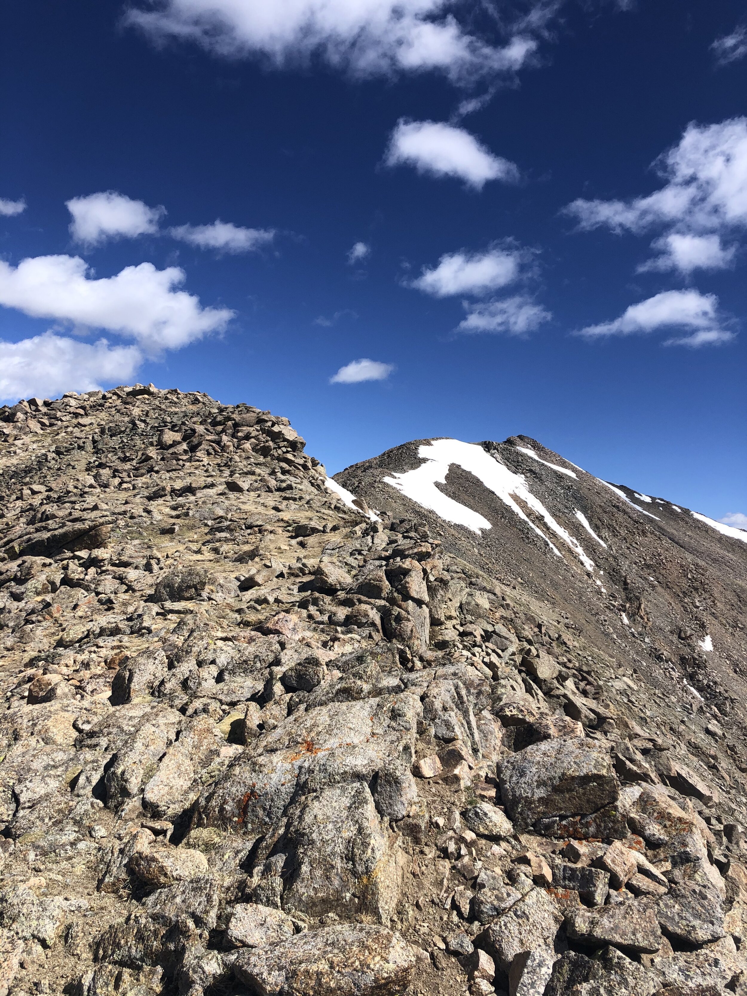
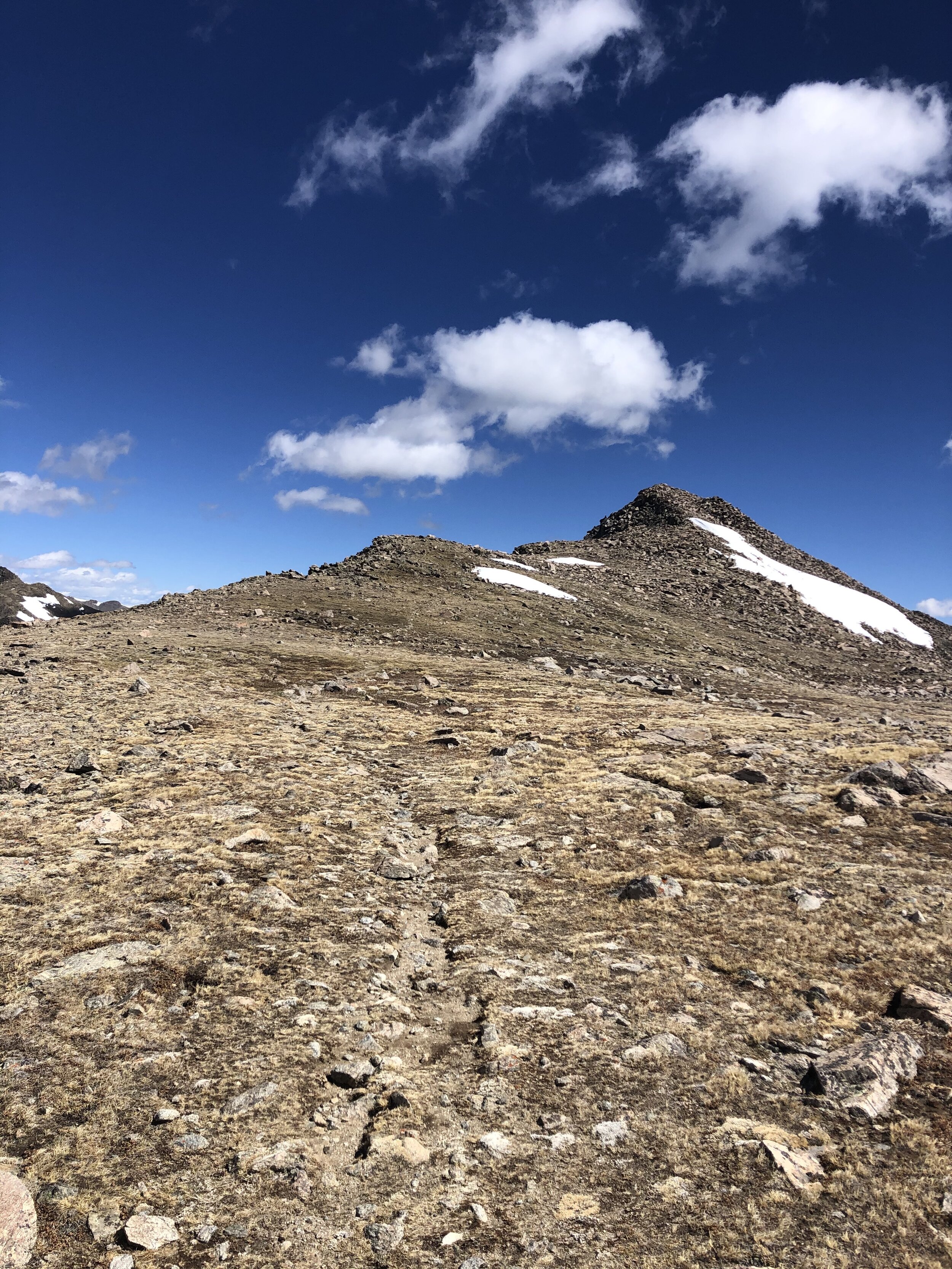
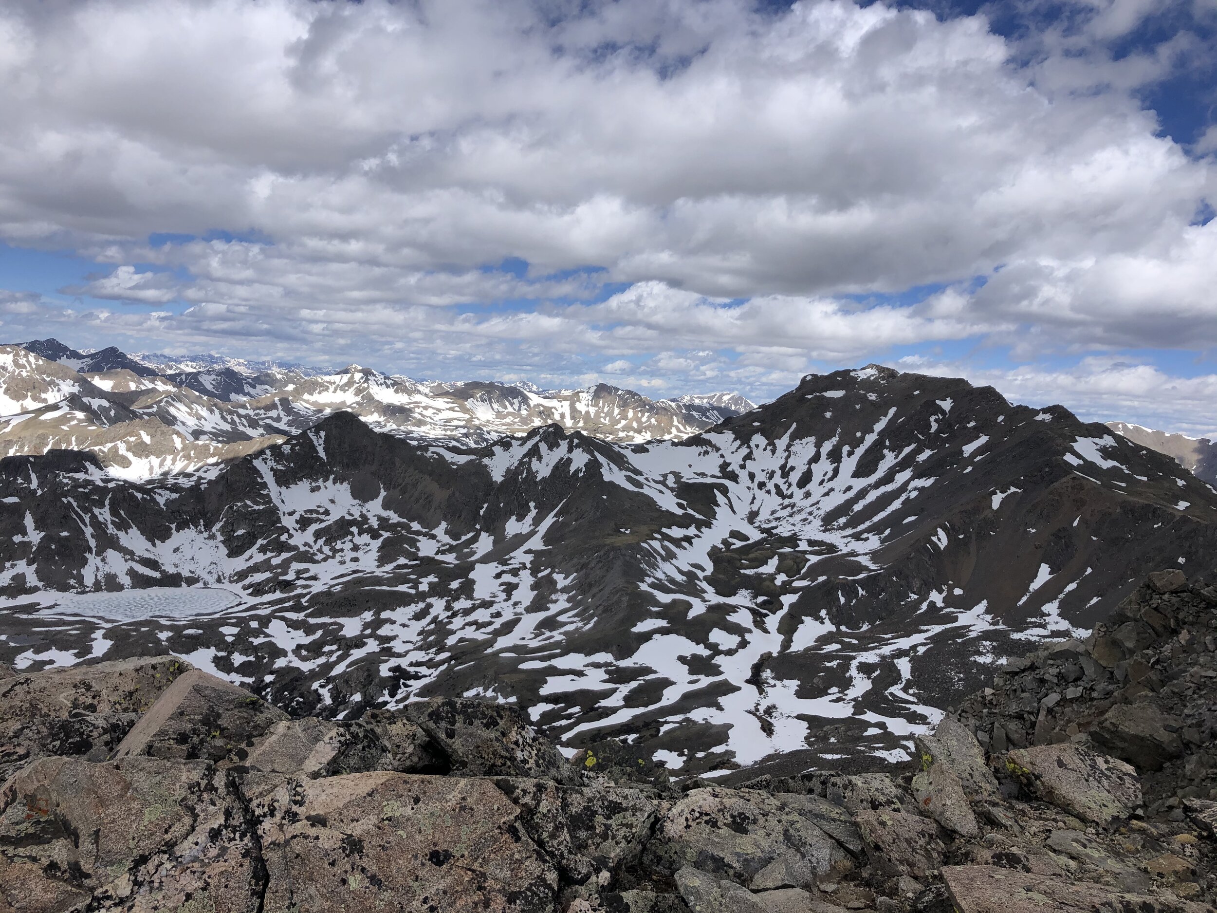
The next portion of the trail was just a standard dirt trail…easy to follow and a clear path. Now, I finally can begin to talk about the wind that I mentioned earlier!!! It started getting a little windy beginning above 12,000’, but nothing out of the ordinary. I was like “Ok, not bad”. Around 13,000’, the trail started to become more talus-y (is that a word? lmao) as seen in the second picture. Around 13,700’, I get up on a ridge and can see in Columbia in the distant future ;).

Especially evident beginning when I got on the ridge, the wind was a constant force. I’m not a dramatic person at all, but the wind was pushing me over and, multiple times, the force of the wind caused me to stumble. Type 2 fun yay!!!! Looking back on it, it was fun, but, at the time, it was not. When I was about 5 minutes from the summit, these two guys were descending and one of them said “Don’t get blown off the side of the mountain”. If this sentence doesn’t somewhat capture today's conditions, then I do not know what would.
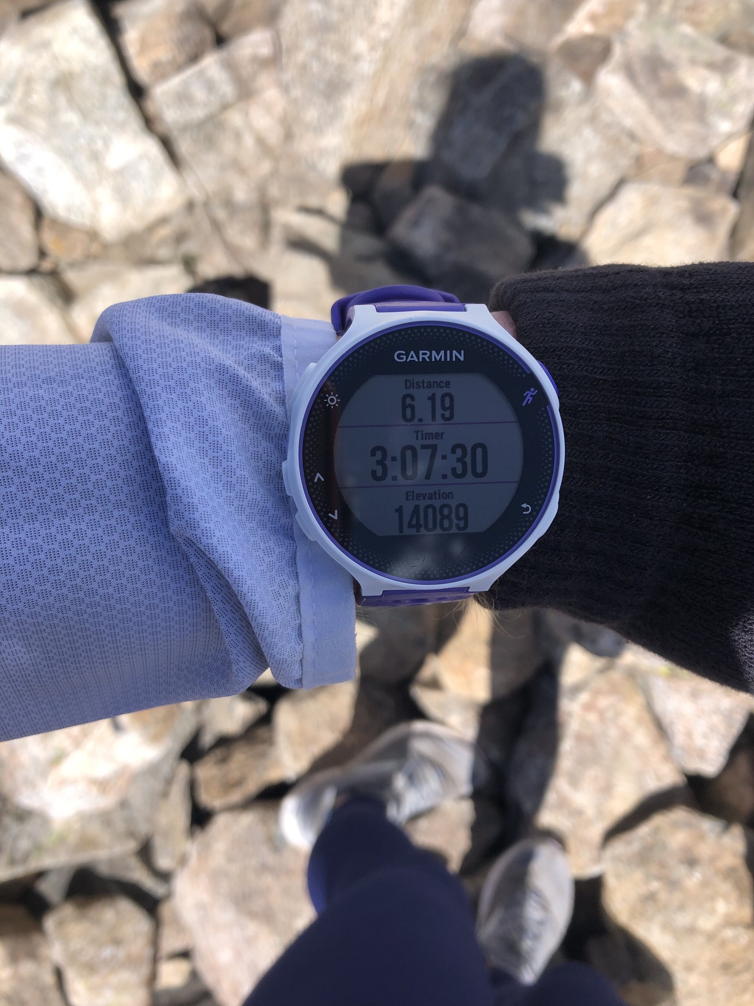
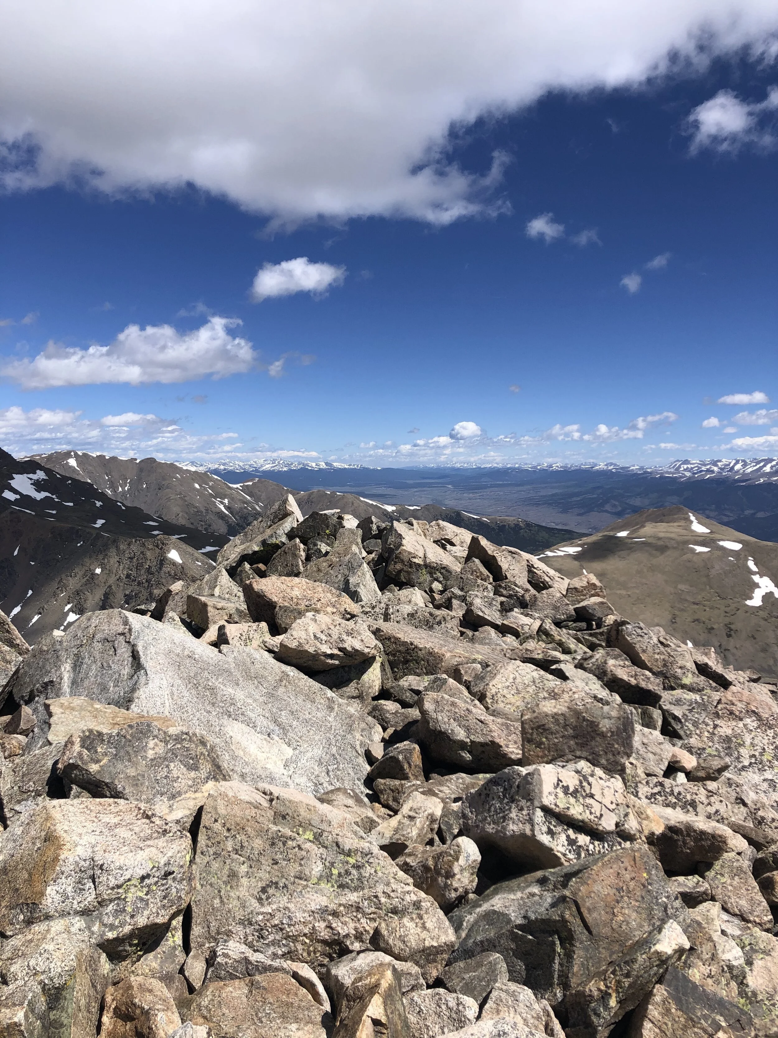
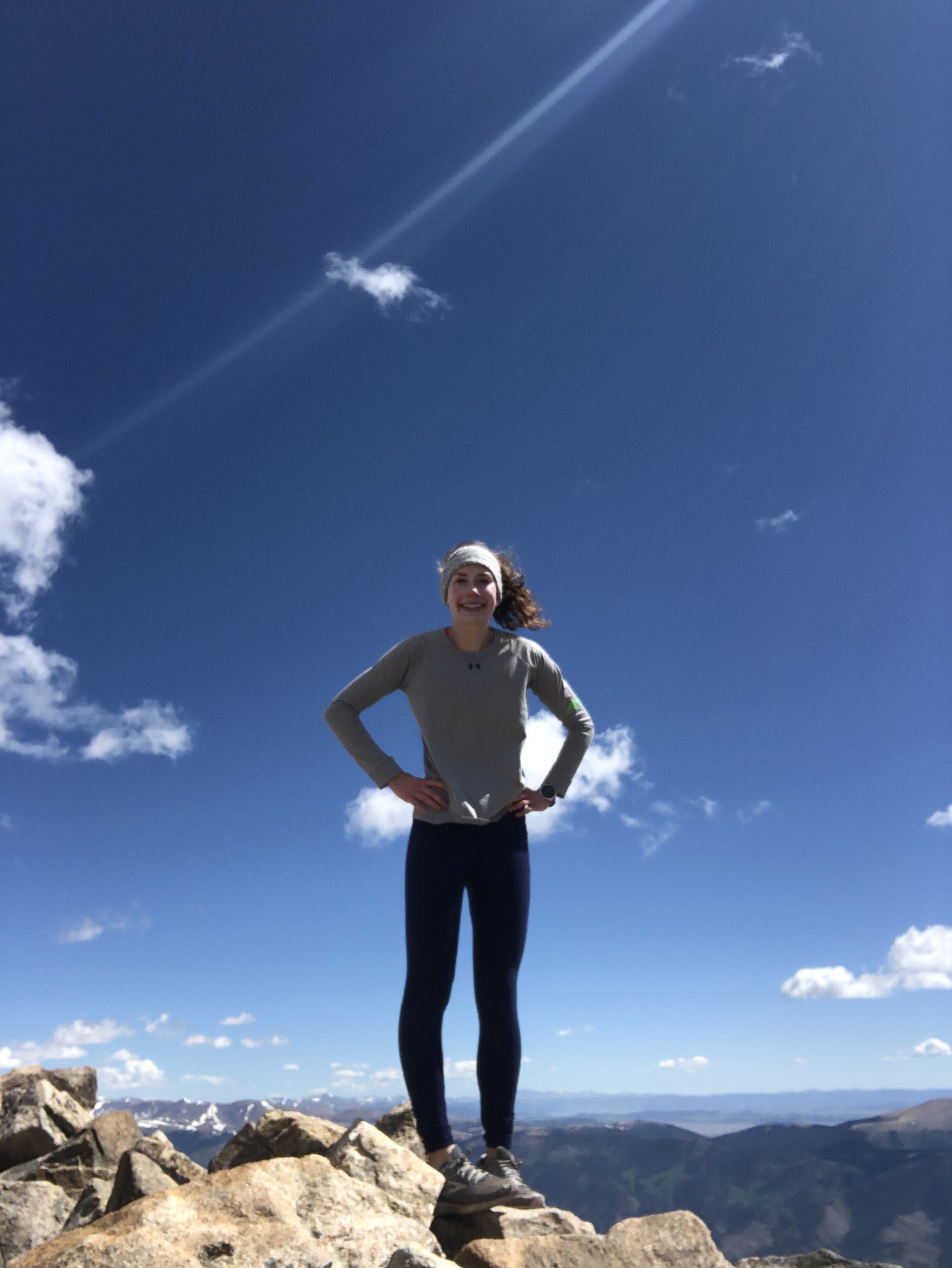
3 hours and 7 minutes and 6.20 miles later, I reached the summit! No one was up there when I arrived, but a group did come when I was preparing to descend. At this point, my hands were freezing cold. The wind was super gusty at the summit. I tried taking some self-timer pictures like I had to on Huron Peak but they were all pretty bad as you can see below haha. Self-timer pictures + the wind make for some ROUGH pictures. I stayed atop Columbia for 20 minutes before I descended.


I felt like I kinda just hiked my normal pace descending, but, I knew that I just wanted to get back below treeline. The wind was more noticeable on the descent…I wanna say the wind gusts were easily 50+ mph… at least this wasn't a high exposure 14er haha (but seriously…it really was a good thing that it was not). It truly was a stumble fest on the way down (particularly until 13,000’)…if I wasn't hiking by myself, I would’ve had someone film a video to capture how it was…
Honestly, once I descended that stone staircase that I talked about earlier and got back to around 11,600’ (below treeline), I was super relieved…not gonna lie. It was like a complete 180—freezing cold a little while ago and now there is no wind and I felt great again!! The remainder of the hike was chill as usual. My descent took 2 hours and 38 minutes with the overall RT time being 6 hours and 5 minutes!
This was quite the hike. Another solo 14er, some extreme wind for a good portion of the hike, and I ate 4 bananas (disclaimer: definitely NOT the only thing that I ate, but I do love bananas haha). I arrived back to the Springs around 4:30pm and chilled for the rest of the day. Fun times :) Another thing to note is that I’m increasingly finding myself better at directions driving and hiking wise so woooooo.