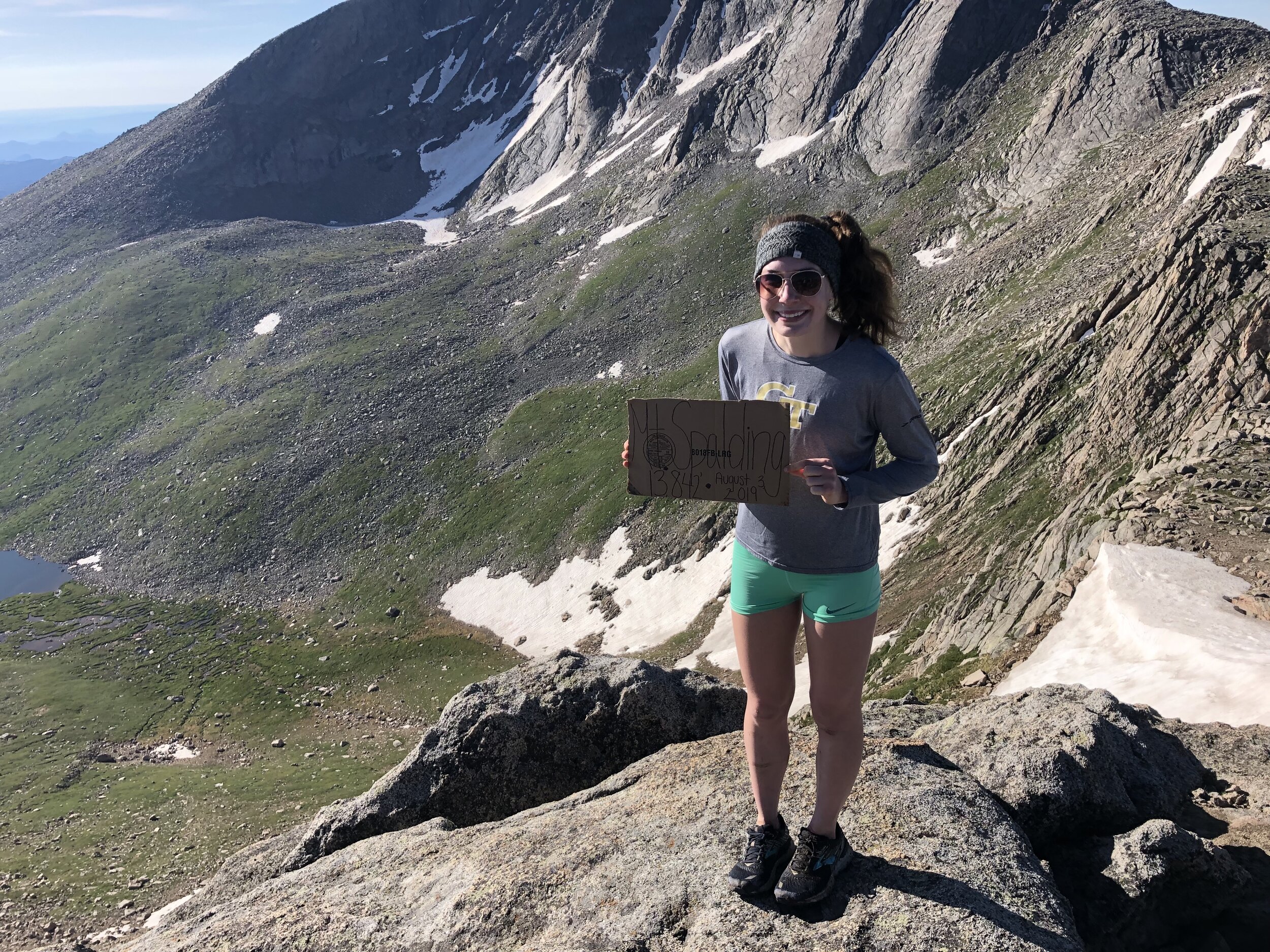
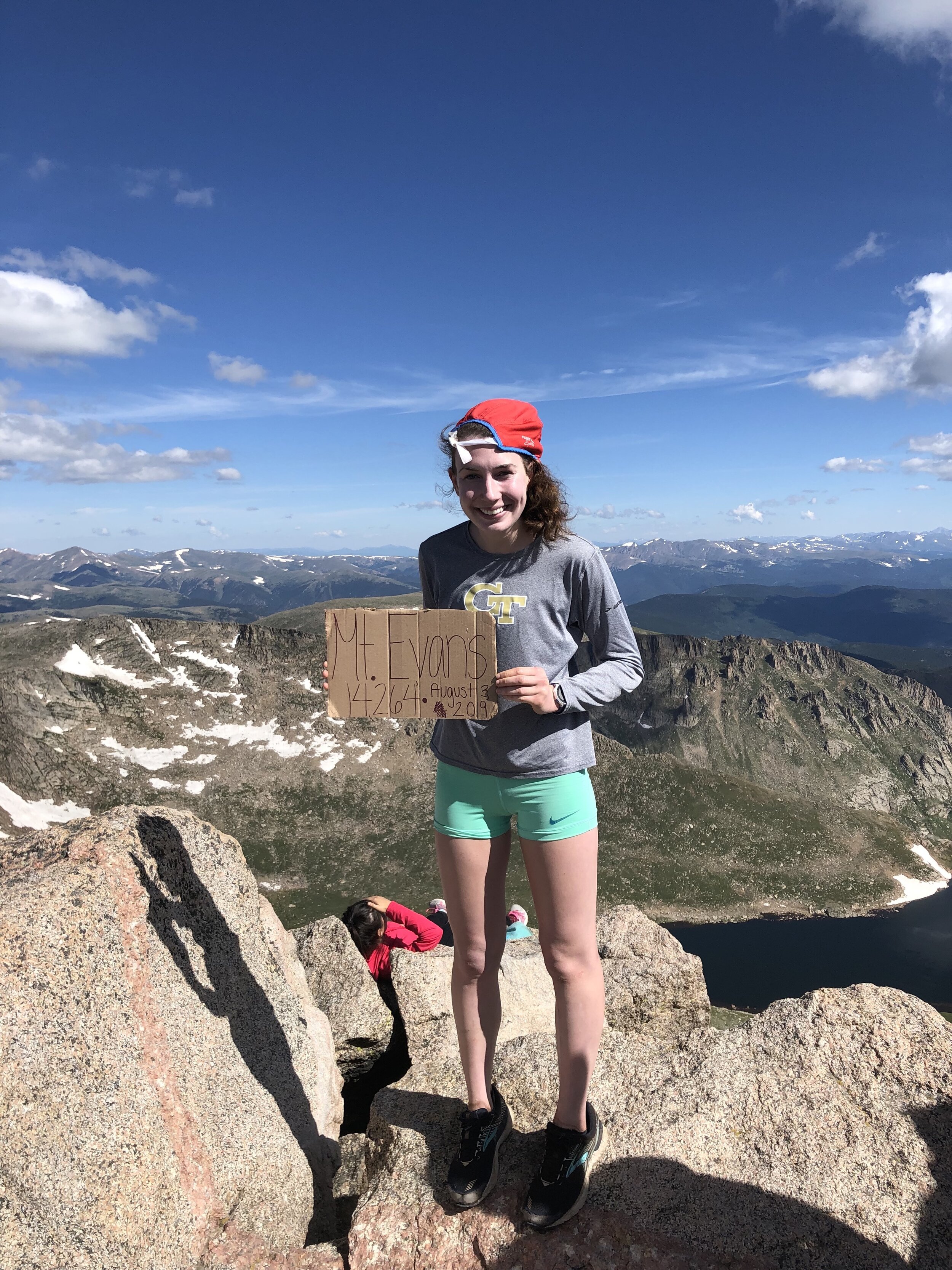
Mt. Evans and Mt. Spalding
August 3, 2019 / 14,264’ (Evans) & 13,842’ (Spalding)
RT STATS: TOTAL TIME - 7 HR & 6 MIN, 10.16 MILES, AND 3,418’ ELEVATION GAIN
TIME STATS: 2 HR & 29 MIN TO MT. Spalding, 10 MIN AT Spalding SUMMIT, 1 HR & 3 MIN TO Mt. Evans, 33 min at Evans SUmmit, 2 hr & 51 min back to trailhead
RATING (HOW MUCH I LIKED THE HIKE): 2/10
I didn’t think it was possible for me to not like a hike as much as Grays Peak and Torreys Peak; however, I think Mt. Evans officially challenges Grays Peak and Torreys Peak for my least favorite hike of the summer. I should start this post out by saying that we did the West Slopes route to Mt. Evans which involves the WILLOWS. The willows honestly, really sucked and it made me hate the first 1.5 hours or so of the hike. Beforehand, I underestimated this hike beforehand based on the total elevation, RT mileage of the hike, and its Class 2 rating, but the willows proved me wrong. Willows can’t read, but, if they could and were reading this, I would say y’all suck!!!
My dad and I spent the night nearby at Georgetown. It was about a 30 minute drive from our hotel to the Guanella Pass trailhead. This Mt. Evans route shares a trailhead with another 14er—Mt. Bierstadt. Mt. Bierstadt was my first 14er this summer and I certainly did not think that I would be returning to this trailhead a month later. My friend Dennis met us at the trailhead and we started the hike a little bit before 6 am.

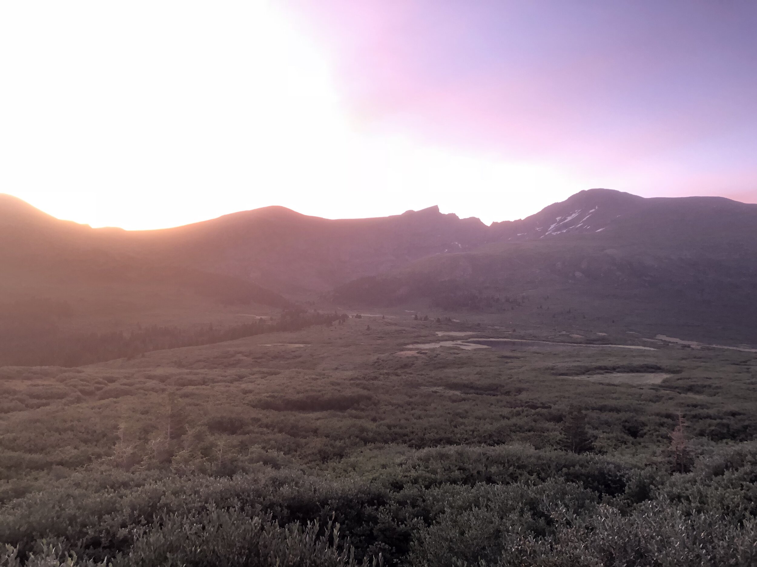
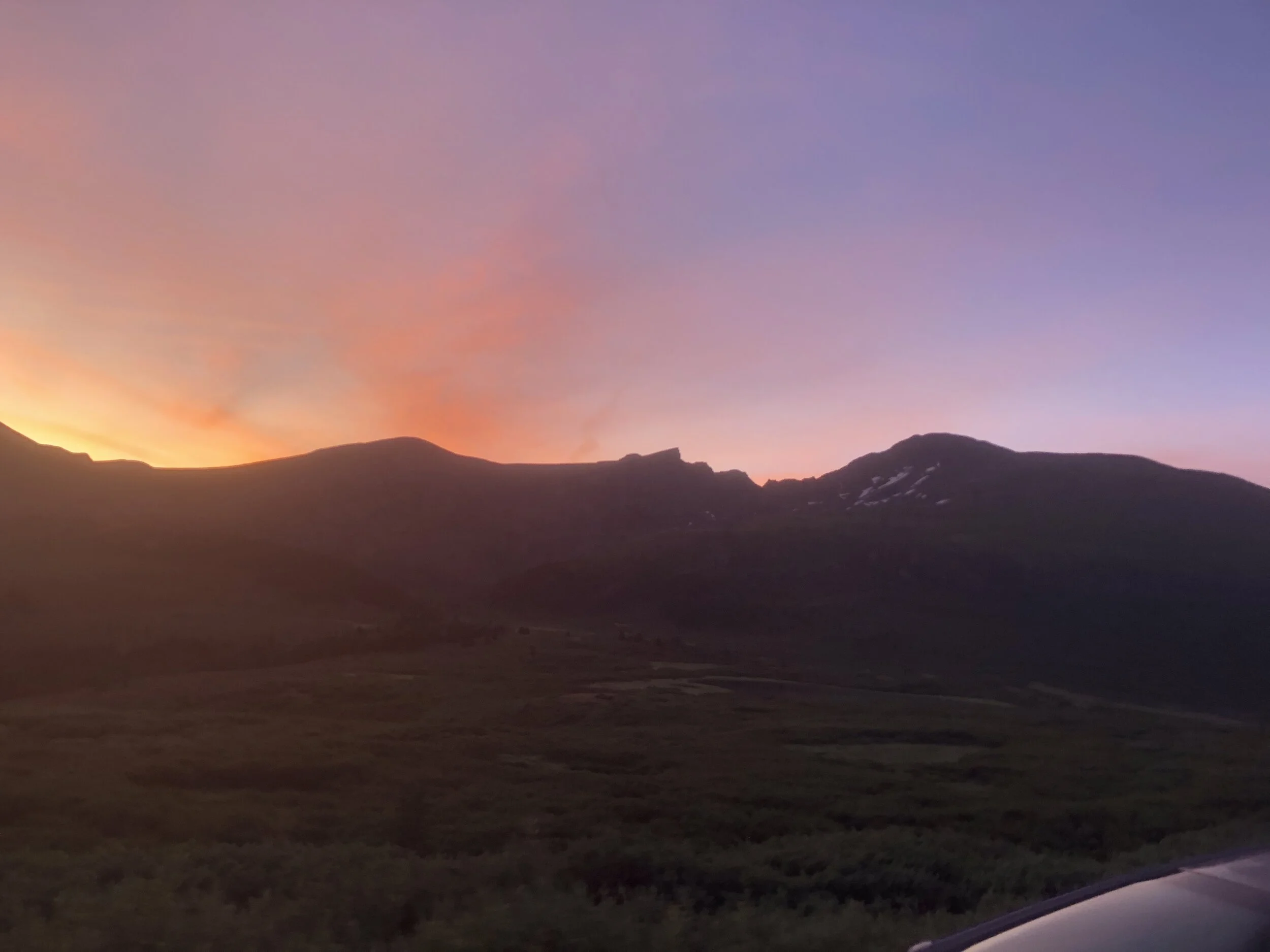
The first mile of the hike was very crowded, since Mt. Bierstadt and Mt. Evans share this first mile. Once we crossed the creek, we separated from all other hikers, since they were going up to Mt. Bierstadt. On the topic of crowdedness, the parking lot and road around Guanella Pass were packed. It made sense as it was the first Saturday in August and, basically, all of the snow had finally melted. It was weird looking up at Mt. Bierstadt and seeing very little snow, when just a month earlier, there was a lot of snow still on the route and mountain.
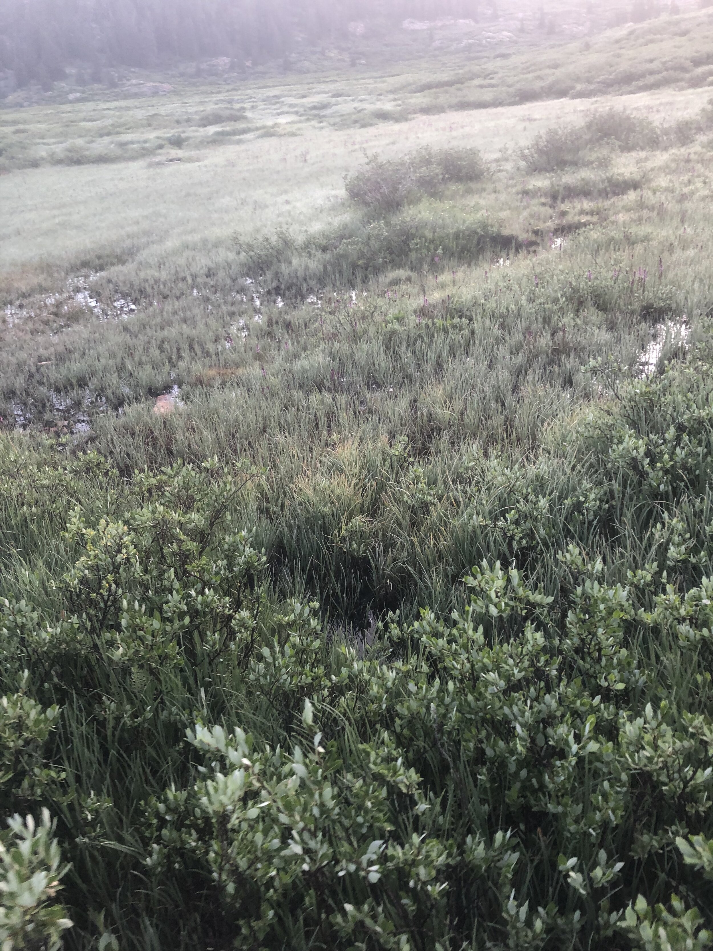
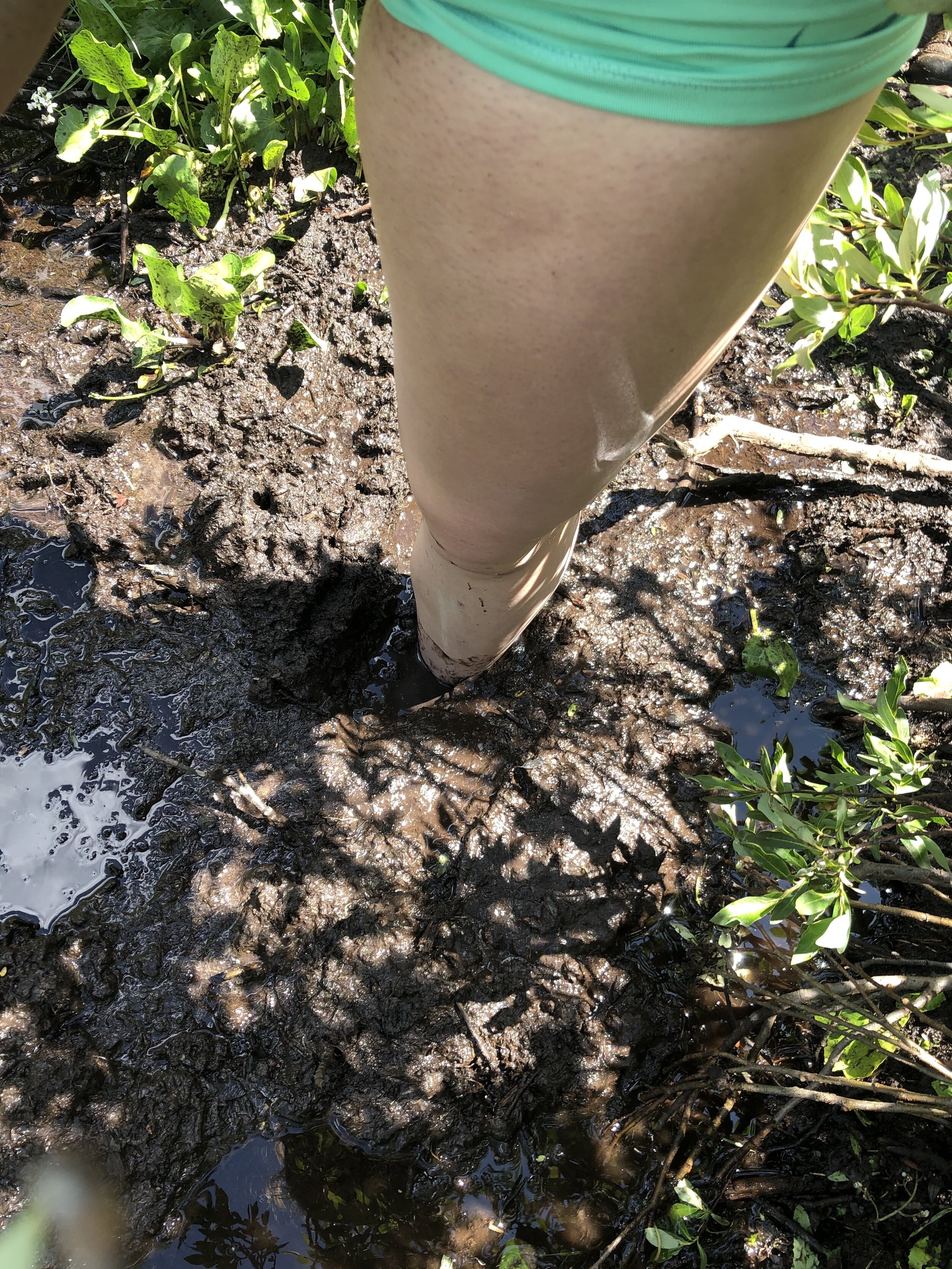
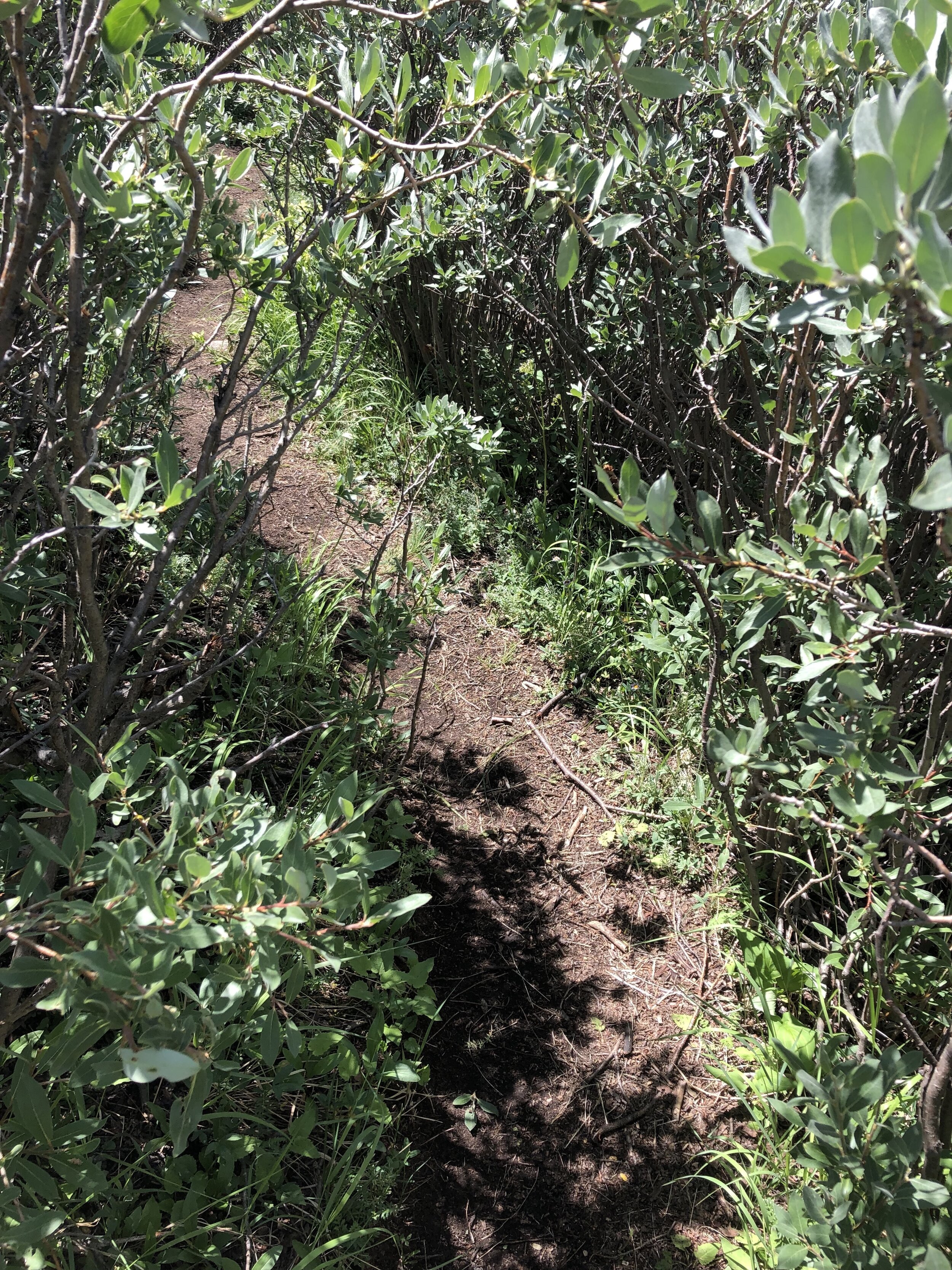
After the creek, the next hour of the hike felt like an absolute slog. We were walking through marsh type land for a while before finally encountering the tall and wet willows. The marsh type land got my feet soaked, but at least I was not soaked yet from the willows. Soon enough, I basically felt completely soaked pretty soon after we started through the willows and my hands were absolutely freezing. I really couldn’t move or use my hands for a bit after the willows, rip… I don't really have any picture going through the willows on the way up because I couldn't move my hands, so yeah……
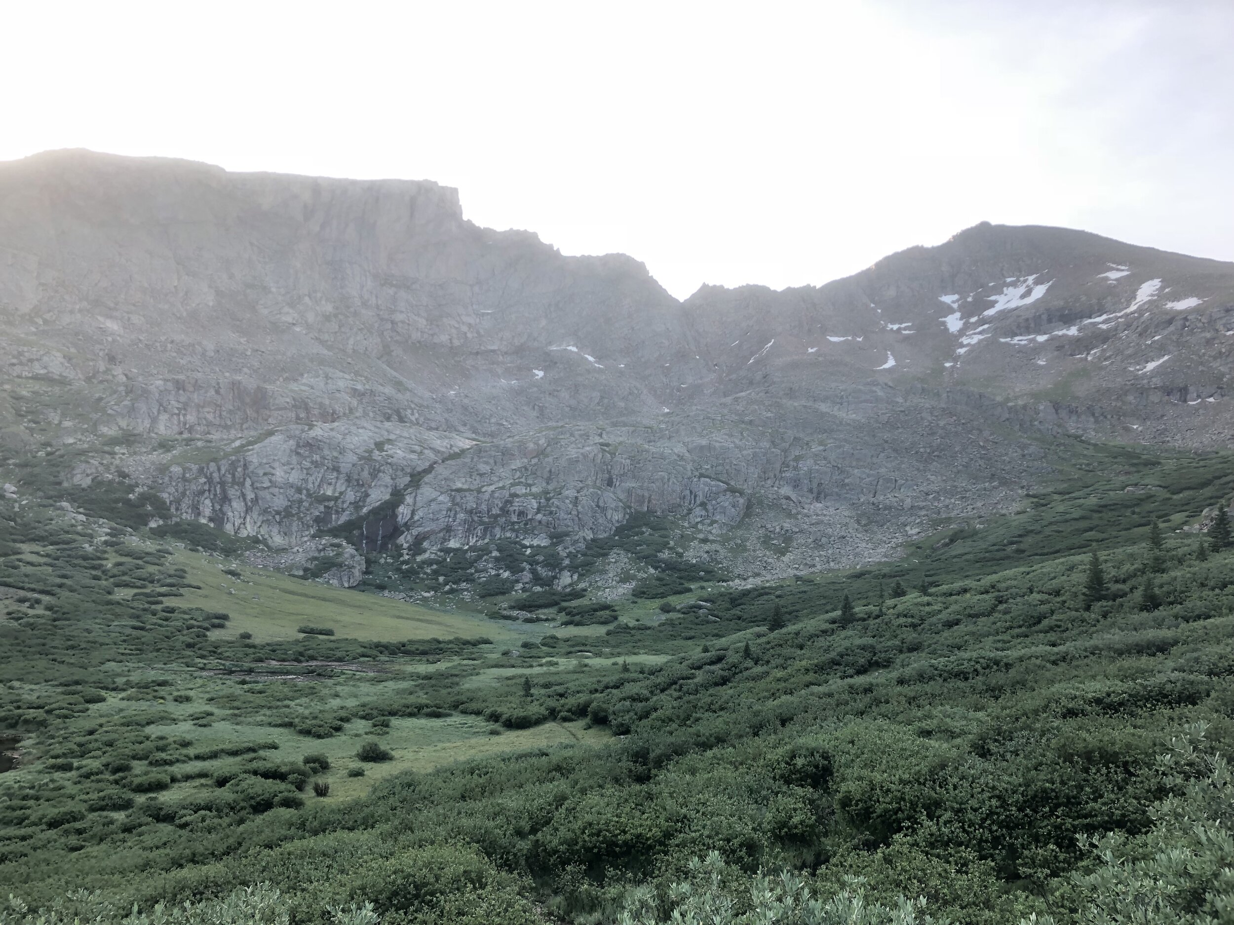
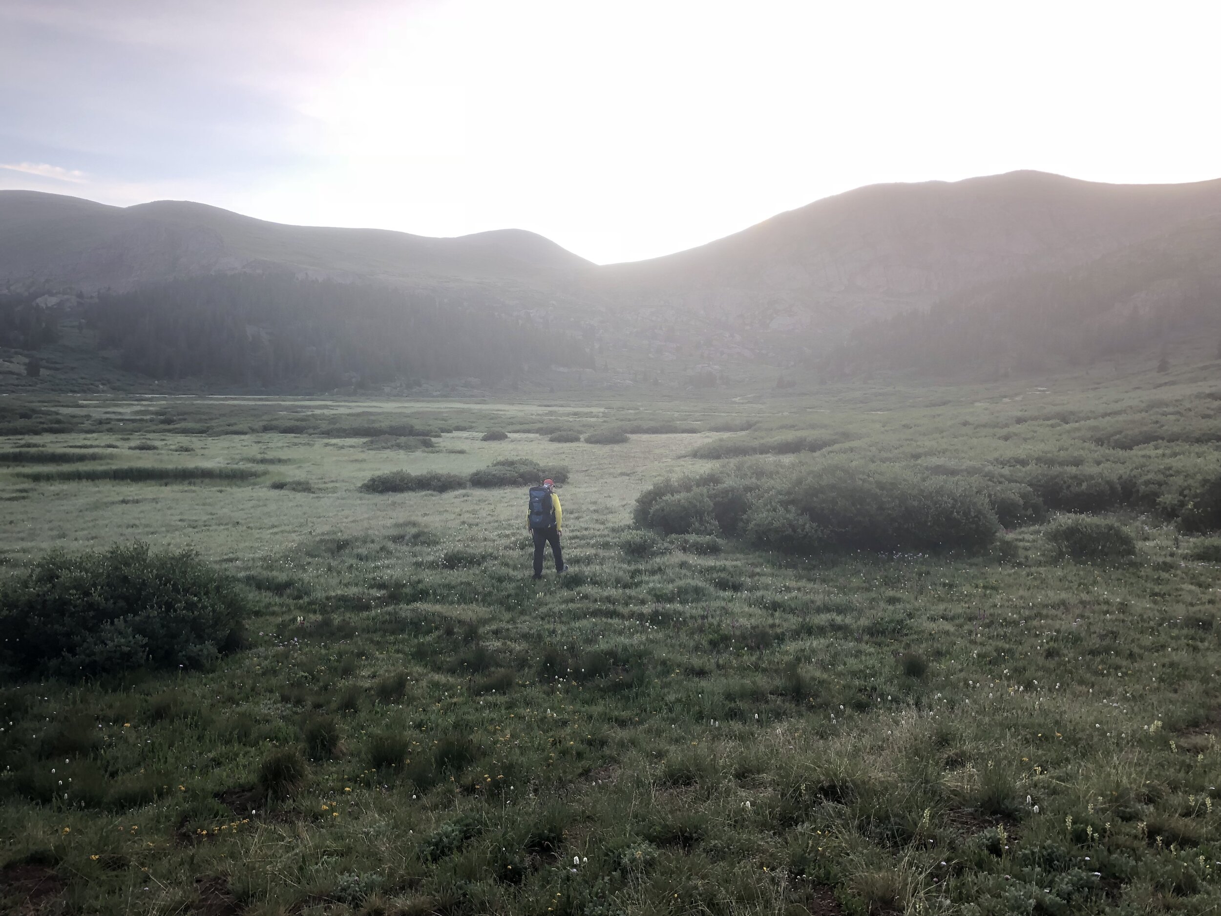
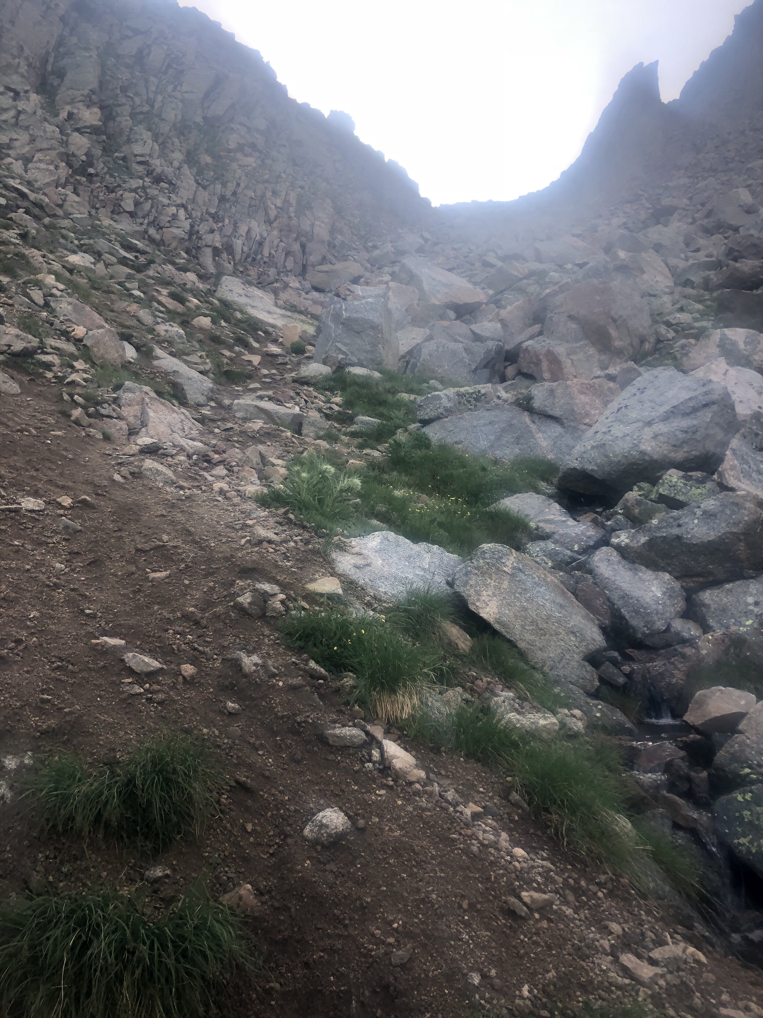
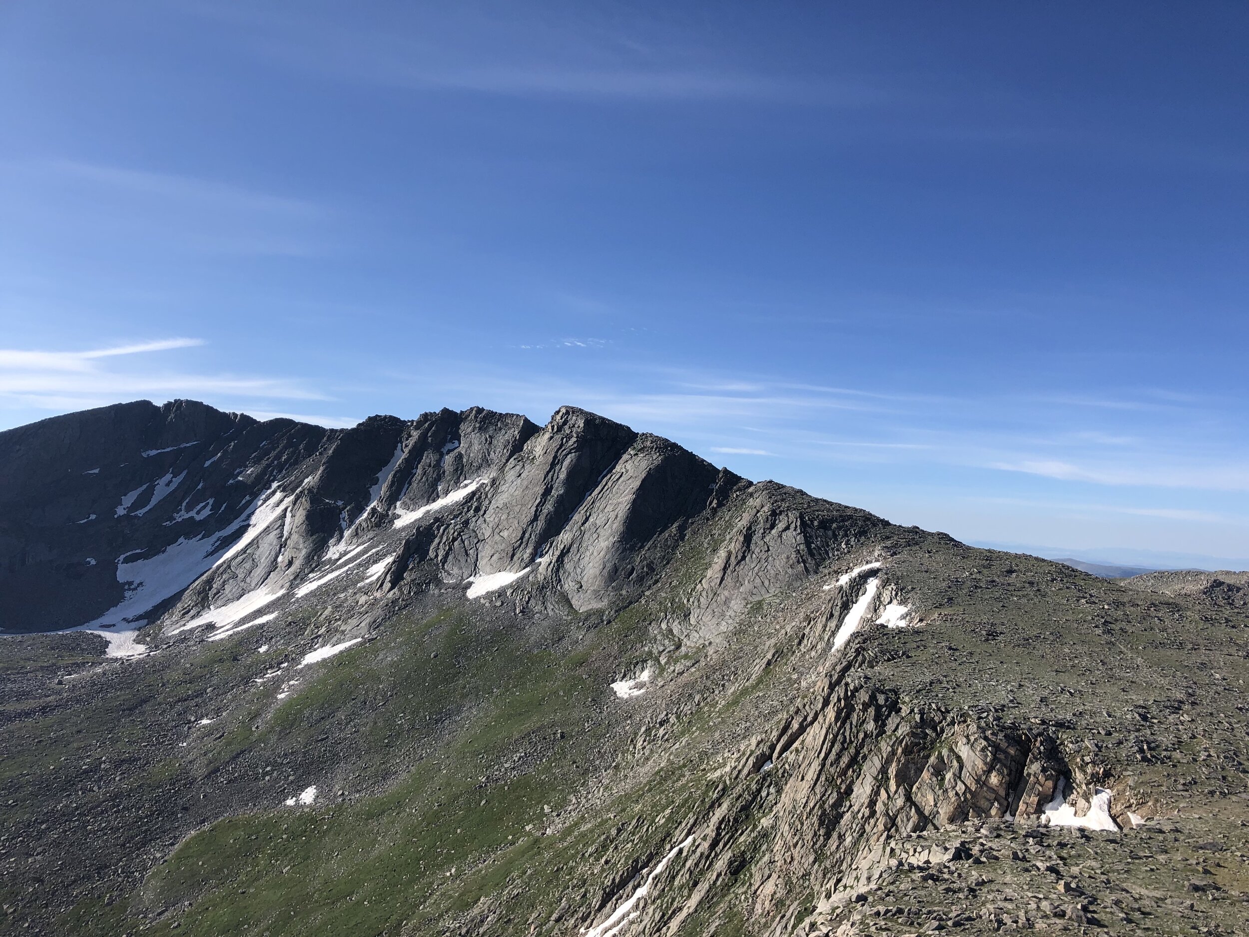
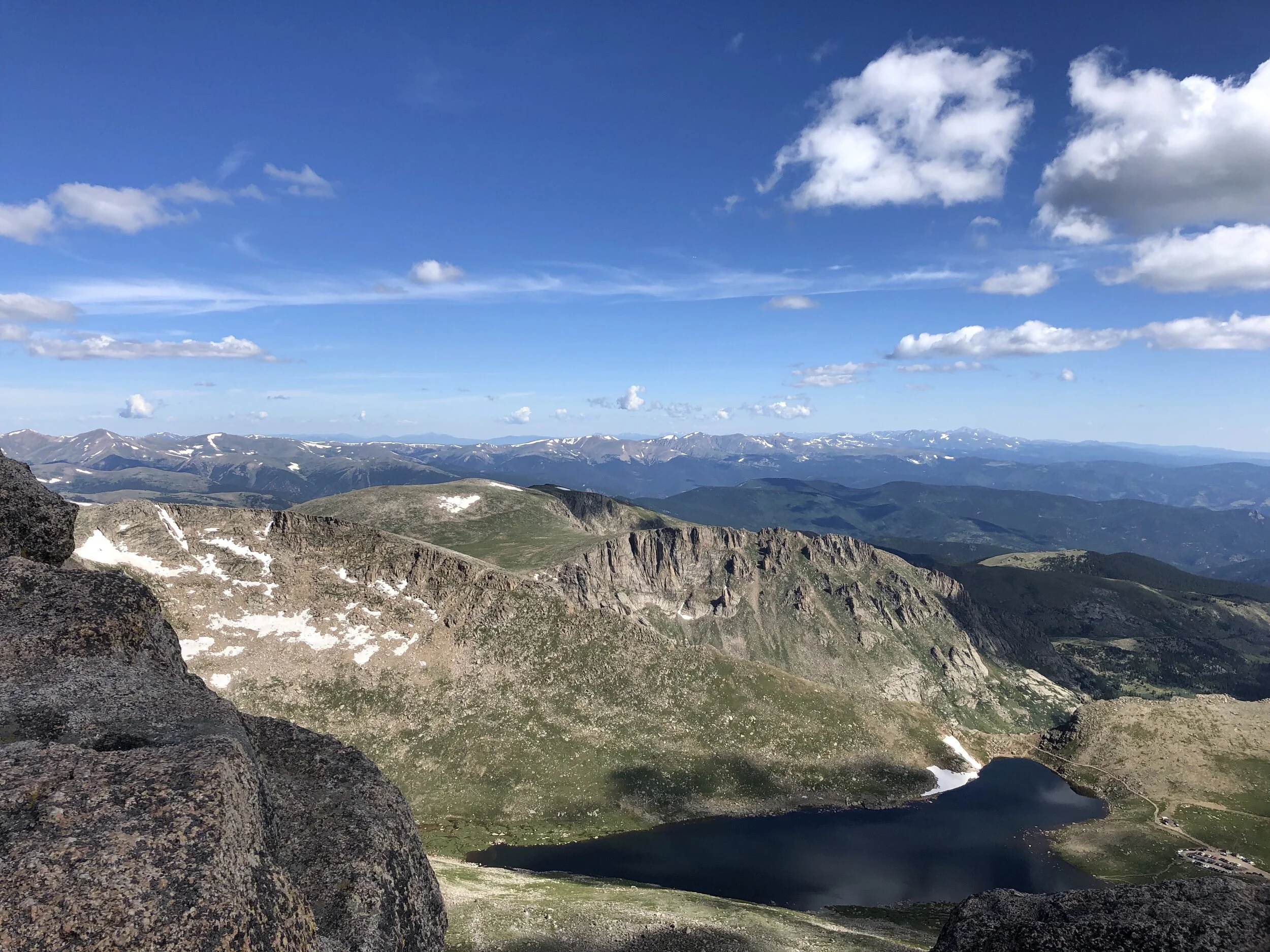
It’s funny how hard this first part of the hike felt, considering we gained barely any elevation. Regardless, I was ecstatic to finally be out of the willows at around about 12,000 ft. elevation. At this point, my dad suggested that Dennis and I go ahead of him, summit Mt. Spalding, and meet him back at the top of Mt. Evans. We agreed and we started up the gully. The gully was full of loose scree and the like, but it was a much appreciated change from the beginning of the hike. The gully looks pretty steep from a distance and when you are going up it, but it actually was not bad at all.
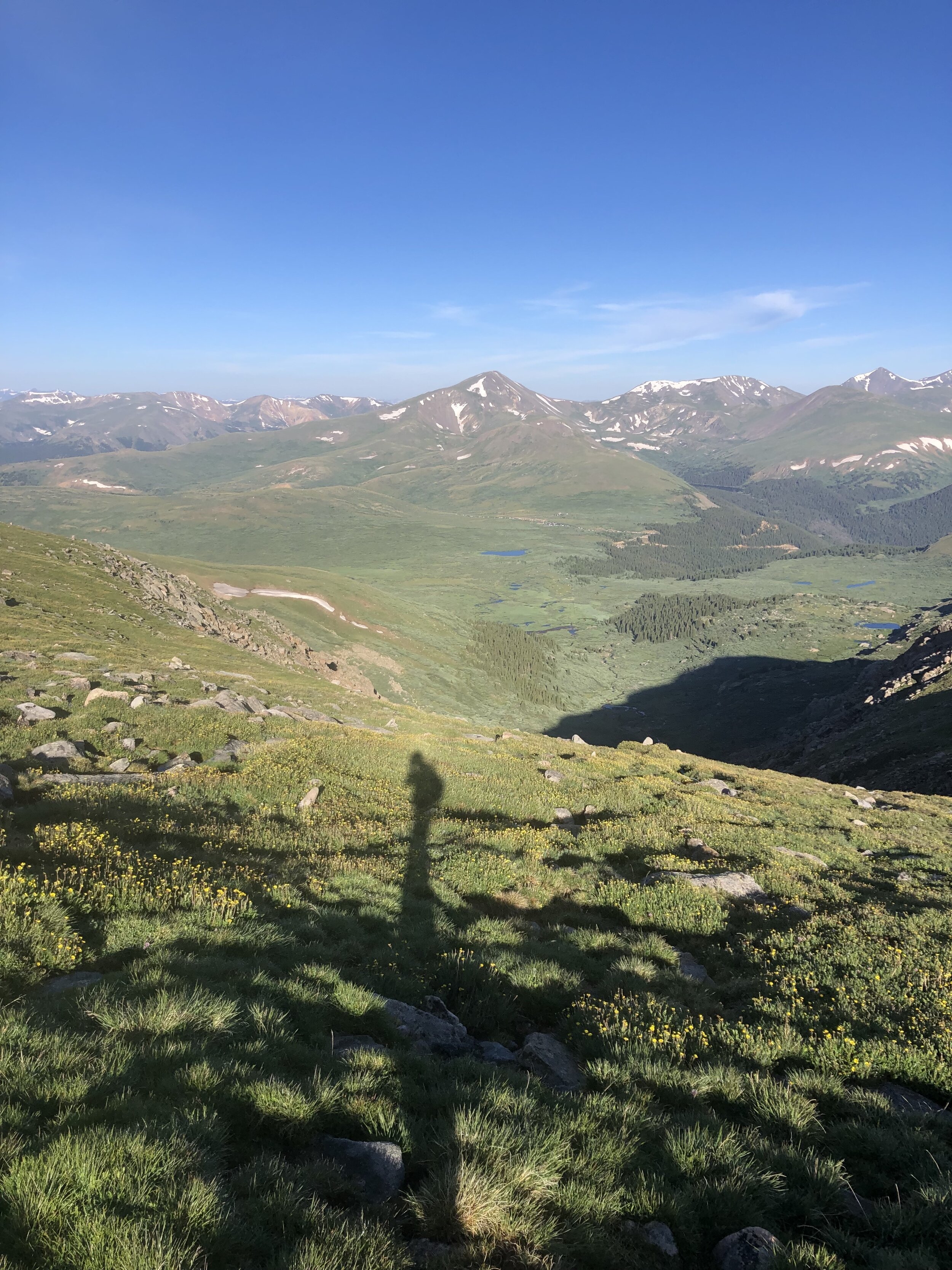
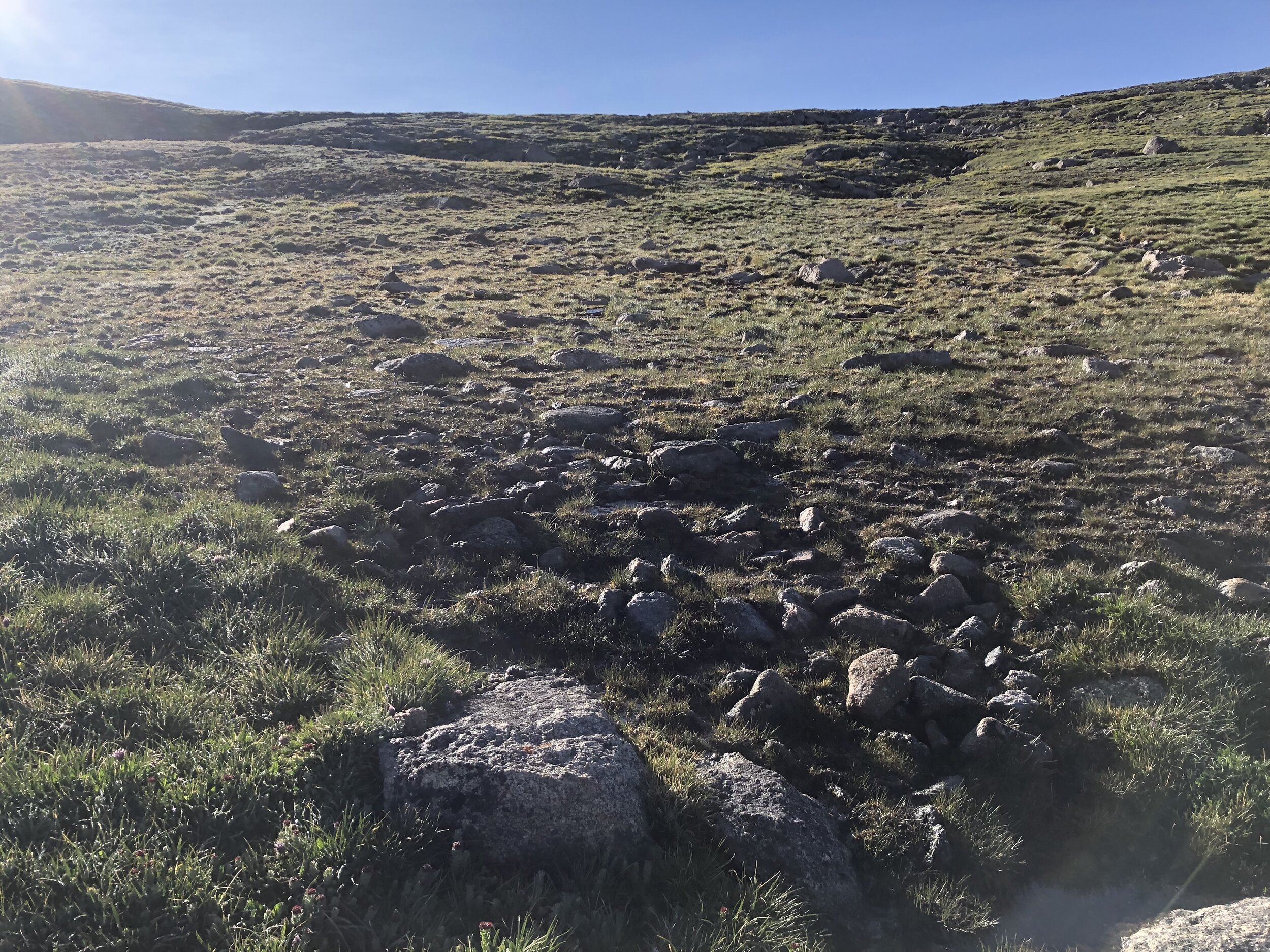
Once we got out of the gully, the route felt eerily similar to that of Culebra Peak from the weekend prior. It was a steep grass field with rocks, which was just what Culebra Peak’s route’s first part was like the weekend prior. As we continued in this field, we could more clearly see Mt. Spalding and started veering to the left. Tacking on Mt. Spalding only added maybe 300 ft. of elevation gain on to the hike.
It took 2 hours and 29 minutes/3.62 miles to reach the top of Mt. Spalding. We took some pictures and spent only 10 minutes on the summit before heading over to Mt. Evans.
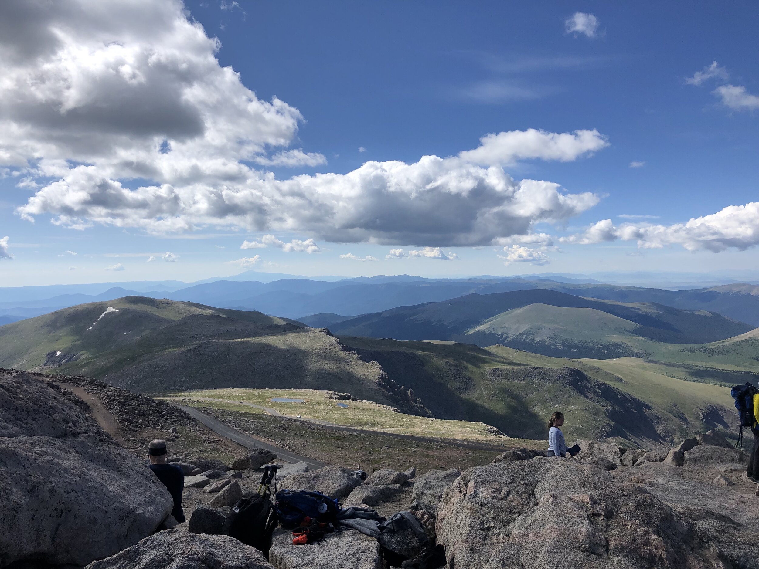
On Mt. Spalding, during the trek over to Mt. Evans, and on Mt. Evans, we saw so many people. Mt. Evans is one of 2 Colorado 14ers that you can drive up to and there are also other routes to Mt. Evans/Mt. Spalding that the majority of people do. Relatively few people ascend Mt. Evans from our route. On the way up to Mt. Evans/Mt. Spalding, we did not see one other person on this willows route (I wonder why…. Not really because the willows suck). It was very crowded hiking on all of the talus and rocks.
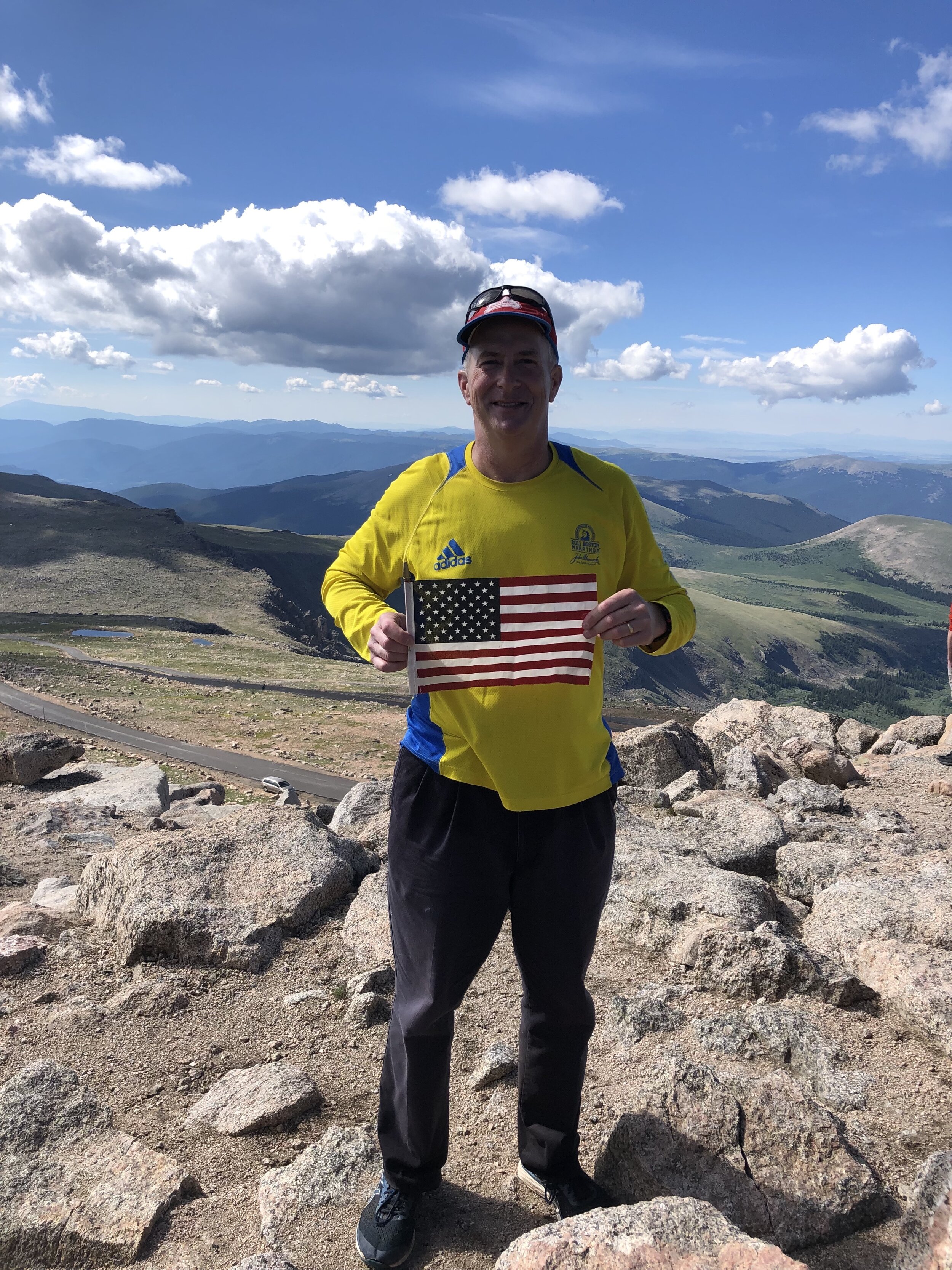
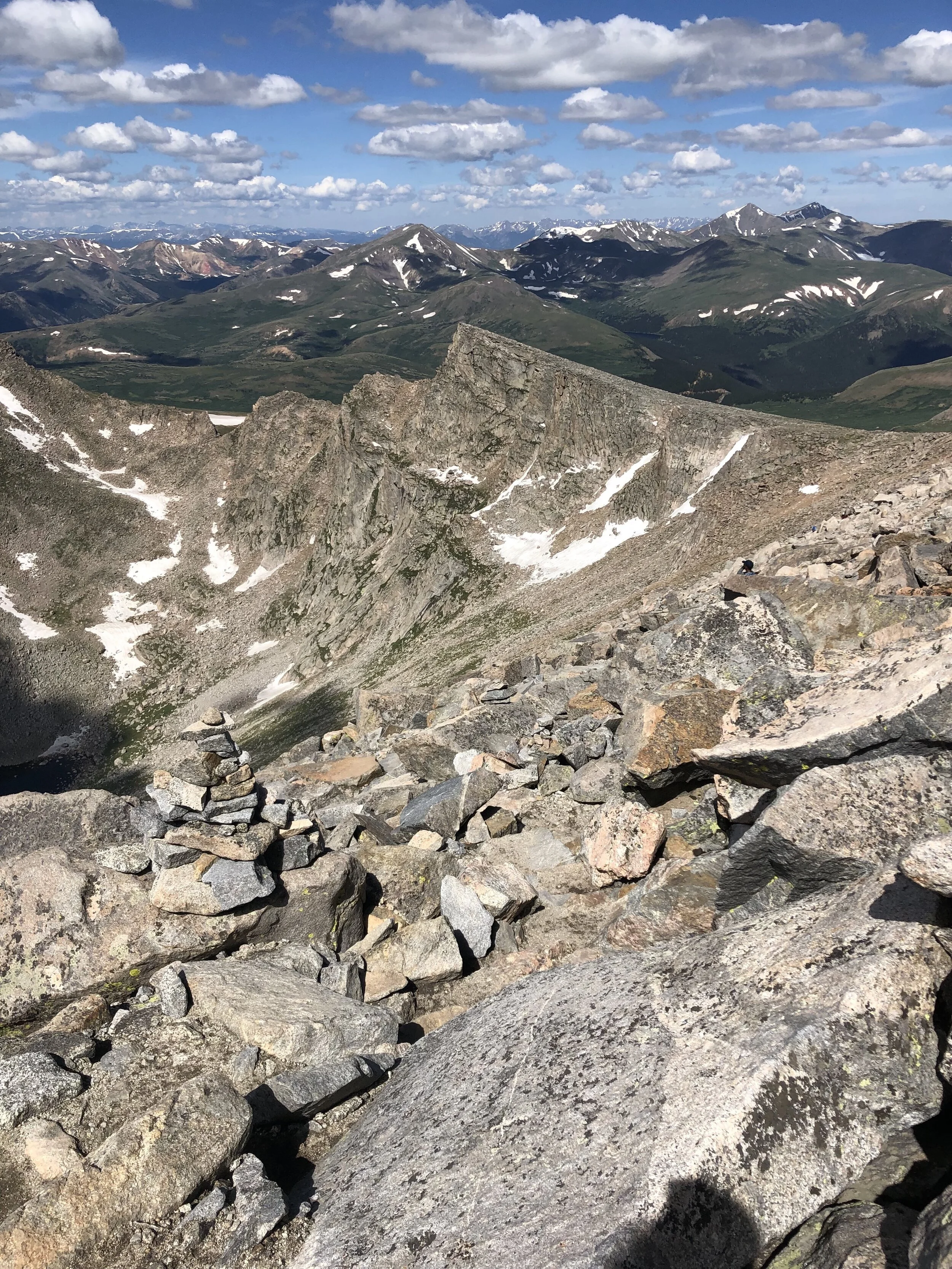
We caught back up to my dad around the 3 hour total time mark. It took us just over an hour to go from Mt. Spalding to Mt. Evans. Our total time and distance from the trailhead to Spalding to Evans was 3 hours and 42 minutes and 5.27 miles, respectively. Maybe 20 minutes after we reached the summit, my dad made it. We spent 33 minutes on the summit before starting the hike down. Yes, I purposely put my (dad’s) hat on backwards for the picture. Yes, I look like an idiot. No, I don’t care since I’m posting it.
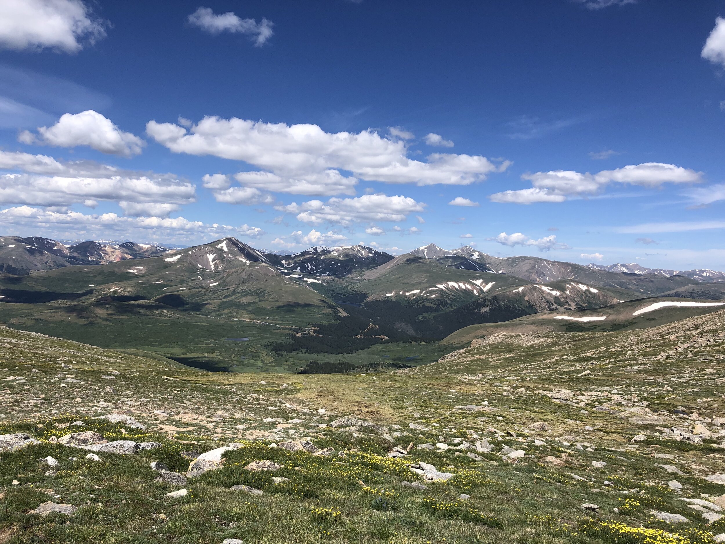
Again, my dad told us to go ahead and hike at our own pace. The hike down up until the gully was simple and straightforward. I should have taken out my hiking poles right when the gully started but I did not until maybe ½ of the way down. It turns out that was a good decision and made descending the gully at least feel quicker and easier.
Once we got out of the gully, I knew the willows were going to start soon. The willows on the way back were not bad at all—the sun was shining bright and the willows were dry! The sun shining didn’t make all the mud disappear though. On the way up, my foot sank in the mud maybe twice, but, on the way back, I think it was six times. After the second time that it happened, I just said whatever (said something else but ya know, I can’t post that) and proceeded to walk through mud and if my foot sank again, then whatever, I’m already muddy.
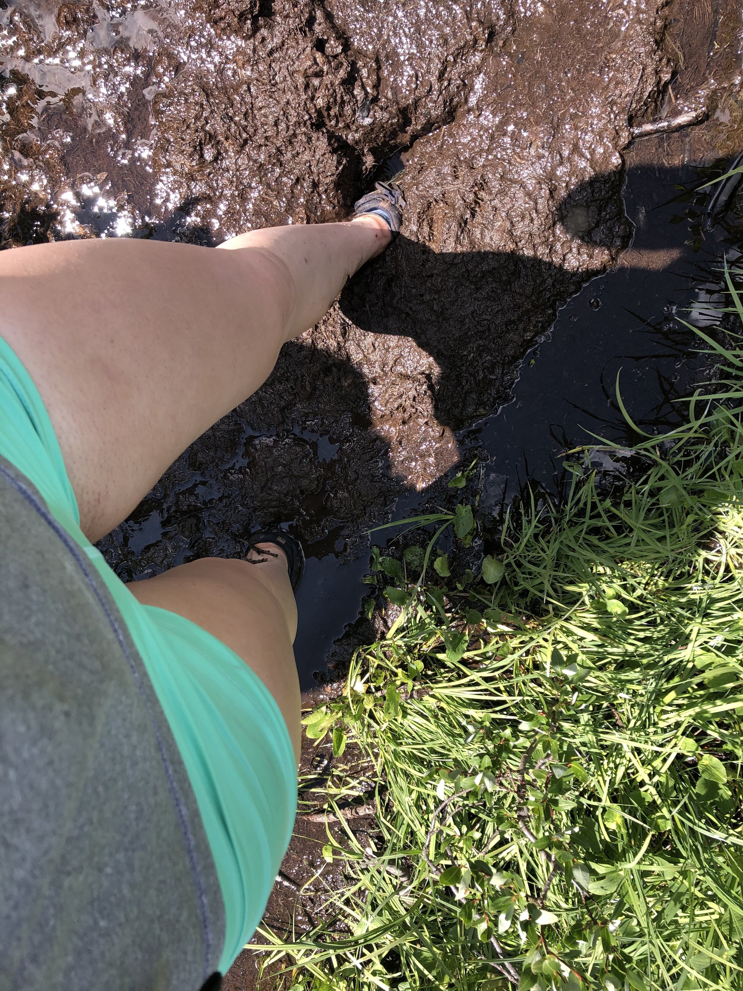
The route led by my dad on the way out through the willows was much smarter than the route Dennis and I took on the way back. We didn’t really know where the good route we took on the way out was, so we just kind of went in the direction of the parking lot. It slowed us down a ton, trudging through the swampy-like ground and mud, but, we weren’t in a rush obviously so it didn’t matter. Trudging through this area made me feel like Shrek (lol).
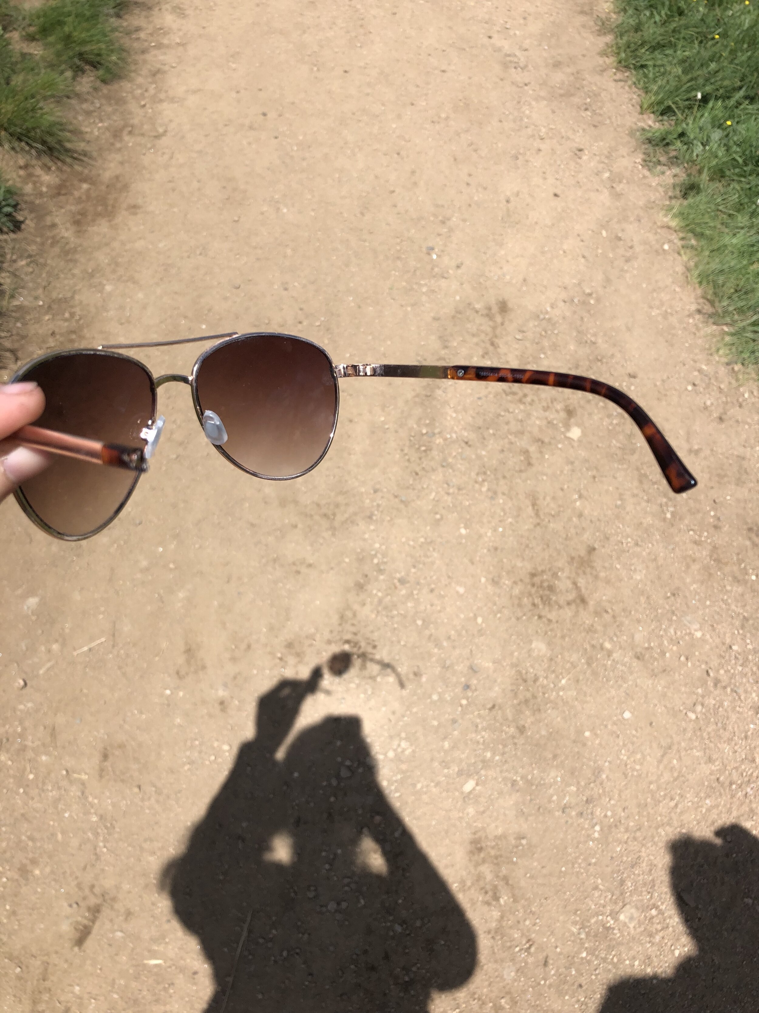
It was nice finally getting out of the willows and meeting back up with the Bierstadt hikers on a legit walking trail. The round-trip stats of the hike were 7 hours and 6 minutes, 10.16 miles, and 3,418 ft. elevation gain. Sad note, I broke another pair of aviators!!!!!!! Aviators are the only sunglasses I wear and they just randomly broke :( THAT’S LIKE THE 3RD PAIR I’VE BROKEN THIS SUMMER.
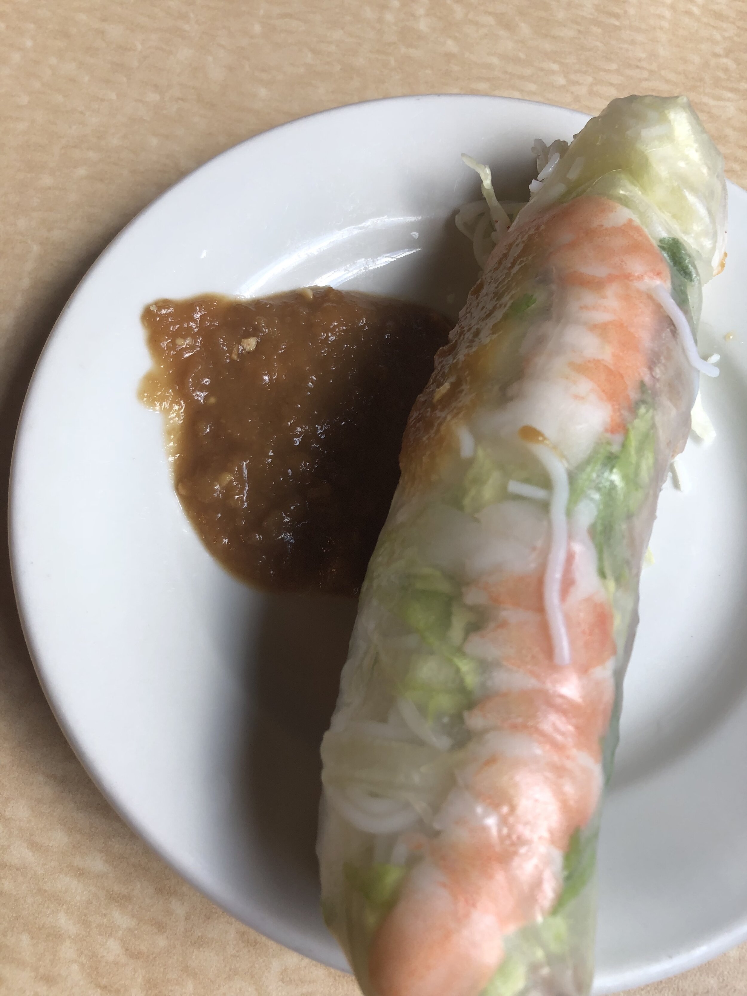
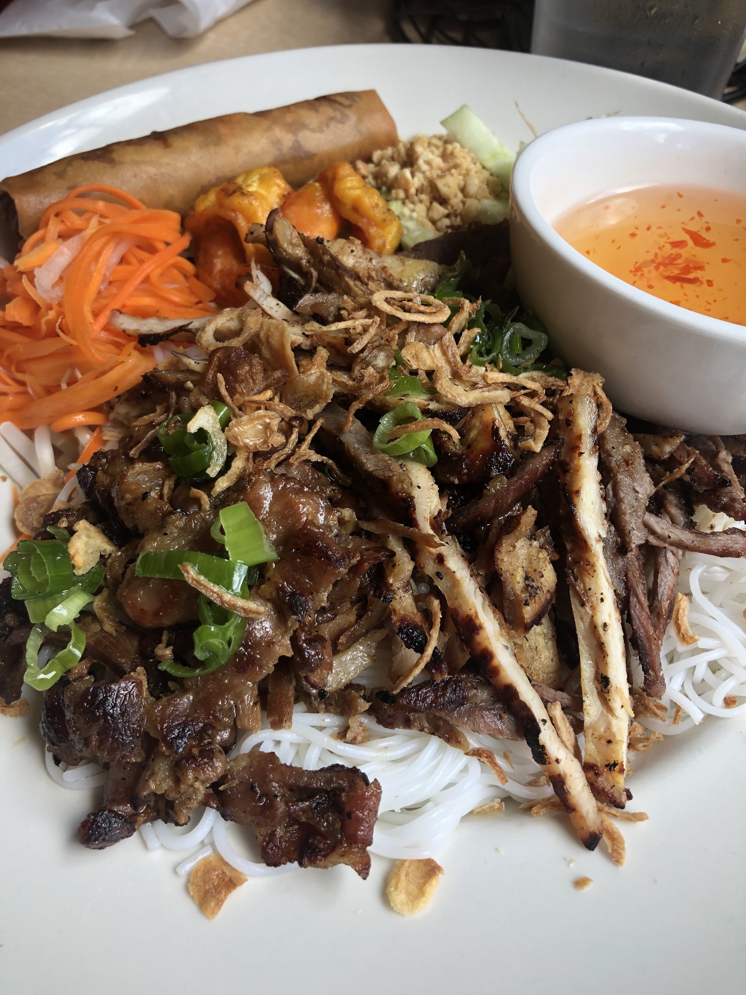
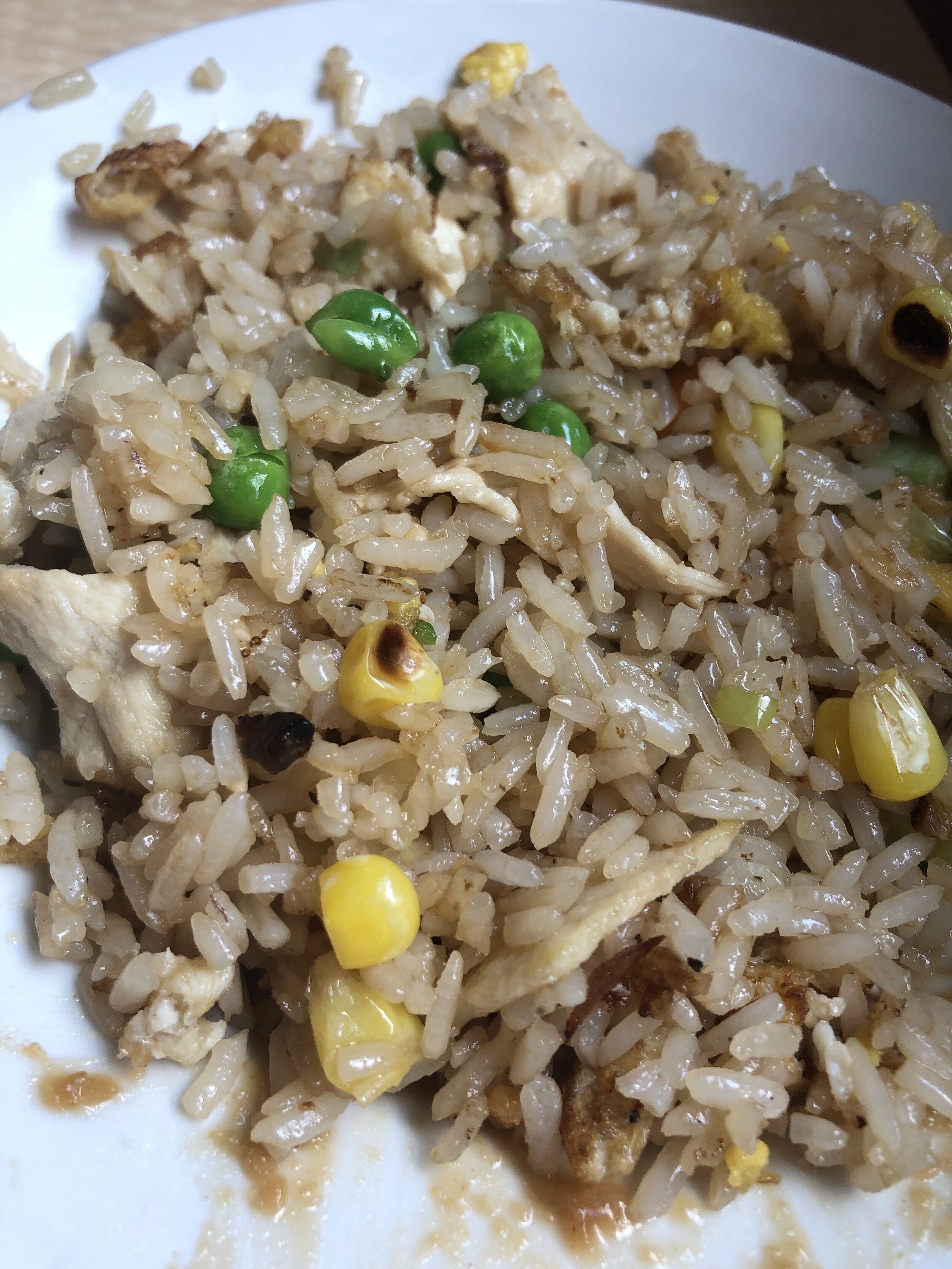
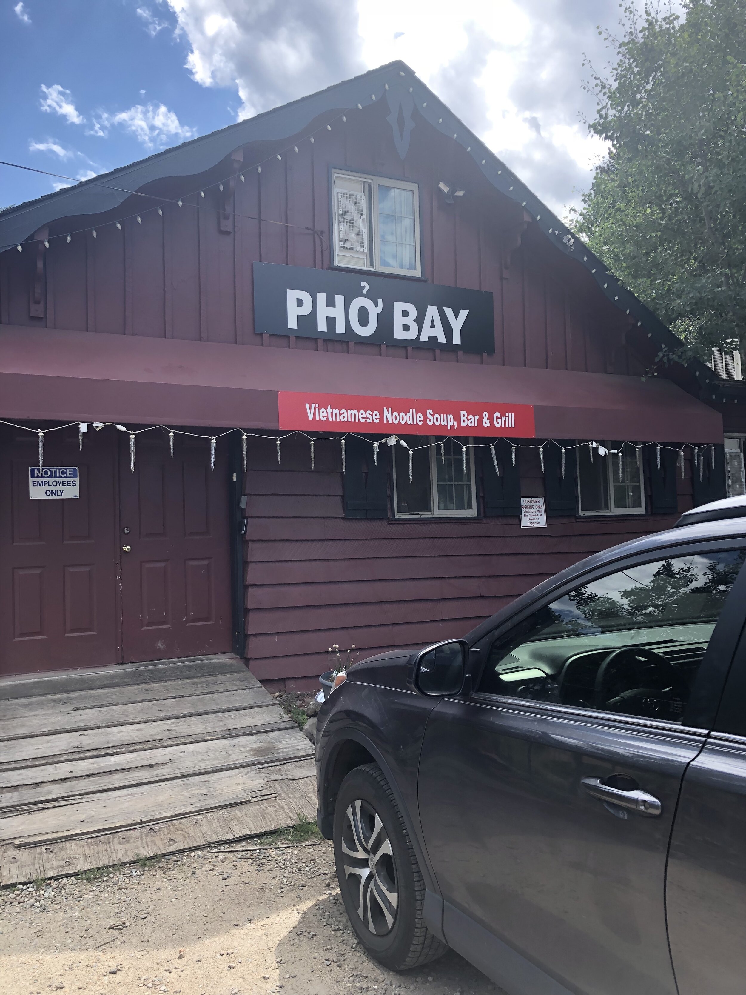
We waited about 30 minutes for my dad to finish and then we drove back to Georgetown and went to a place called Pho Bay. For appetizers, I had a shrimp spring roll with peanut sauce (amazing) and I tried a steamed pork dumpling. For my main meal, I got a combination noodle bowl and I finished the whole thing minus the fried egg roll (which I tried but it wasn’t good). I also took some of my dad’s massive amount of chicken fried rice, since I was super hungry.
To sum up Mt. Evans, I’m not a fan and I will probably not do this same route again. If I hiked it again, it would be via Sawtooth.