Mt. Harvard
June 25, 2020 / 14,420’
RT STATS: TOTAL TIME - 7 HR & 37 MIN, 13.80 MILES, AND 4,475’ ELEVATION GAIN
TIME STATS: 4 HR TO SUMMIT, 25 MIN AT SUMMIT, 3 HR & 12 MIN BACK TO CAR
RATING (HOW MUCH I LIKED THE HIKE): 7/10
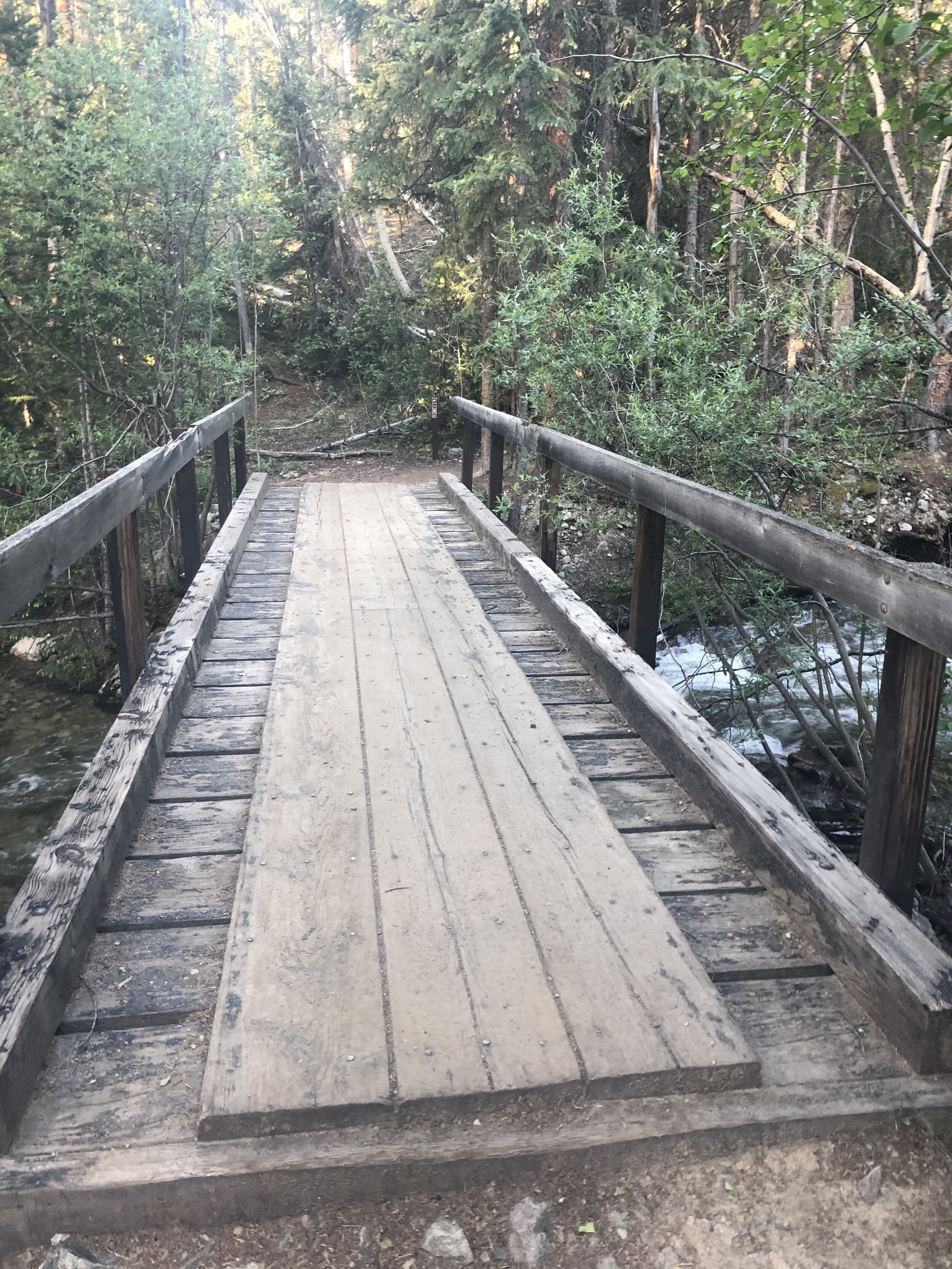
Mt. Harvard….my 32nd 14er and my second to last 14er in the Sawatch Range!! Like Humboldt a few days earlier, I did this hike with my sister Melissa. We left the Springs just after 4 am. There was definitely a lot of familiarity on this hike because I did Columbia a few weeks earlier. These routes for Harvard and Columbia share the same trailhead (North Cotttonwood Creek- just under 10k ft elevation) as well as the first (and last) few miles of the hike. We started the hike just before 7 am. I definitely did not take many pictures for the first few miles of the hike because it was exactly the same as my Mt. Columbia hike—very (relatively) flat!!
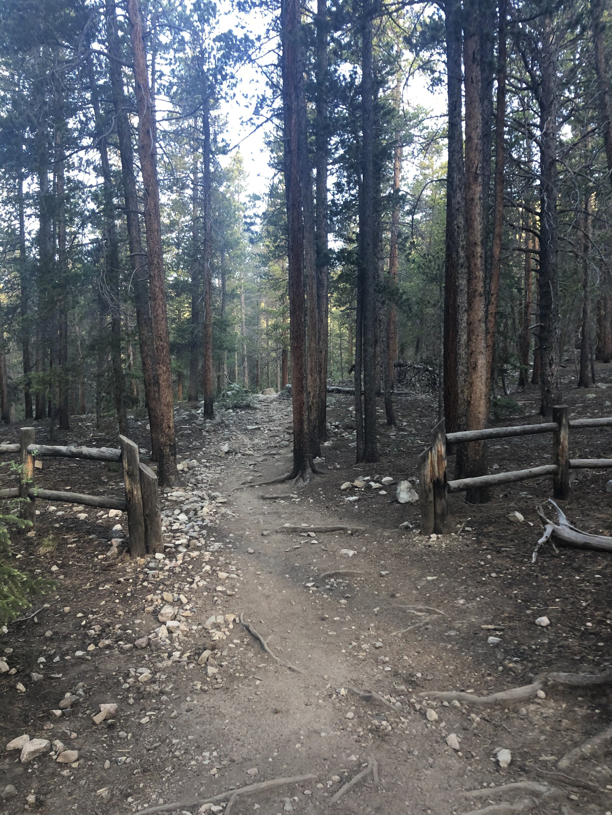
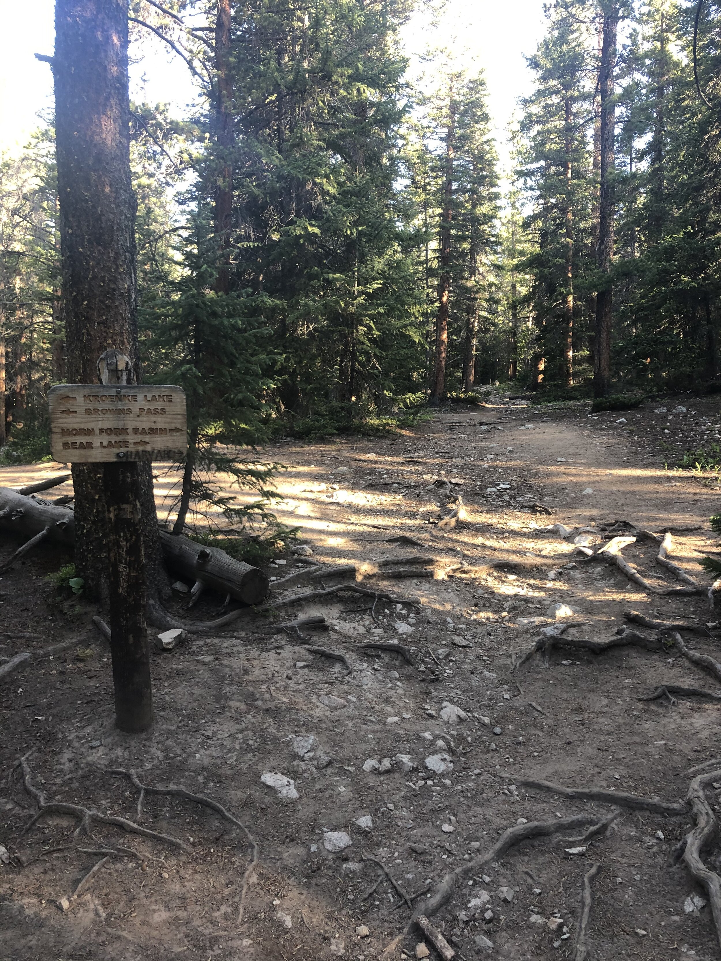
Somewhere between 3.5 and 4 miles (I think haha), the paths for Harvard and Columbia split, so yay…new territory!! We could start to see Mt. Harvard as we entered the Horn Fork Basin!
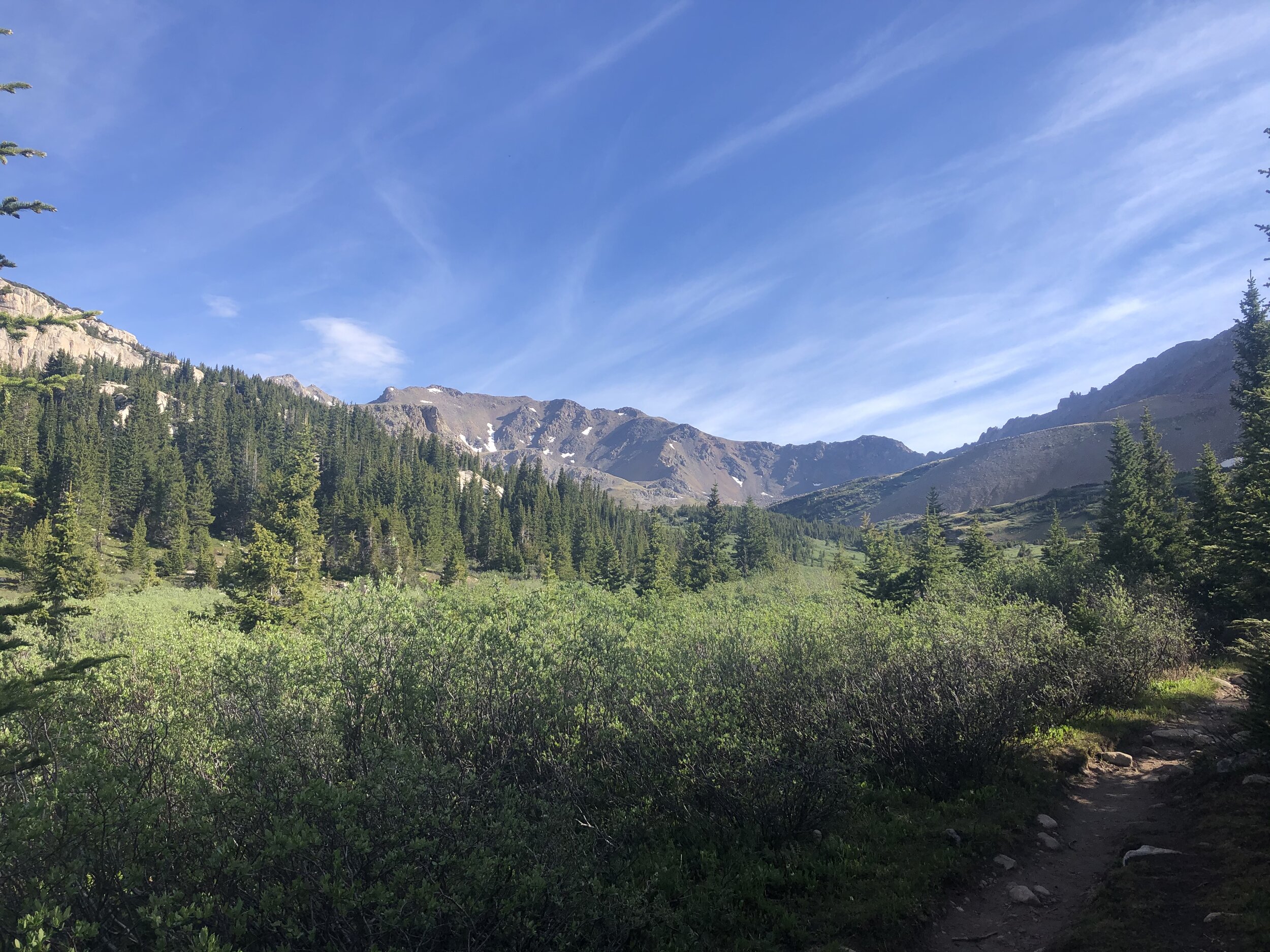
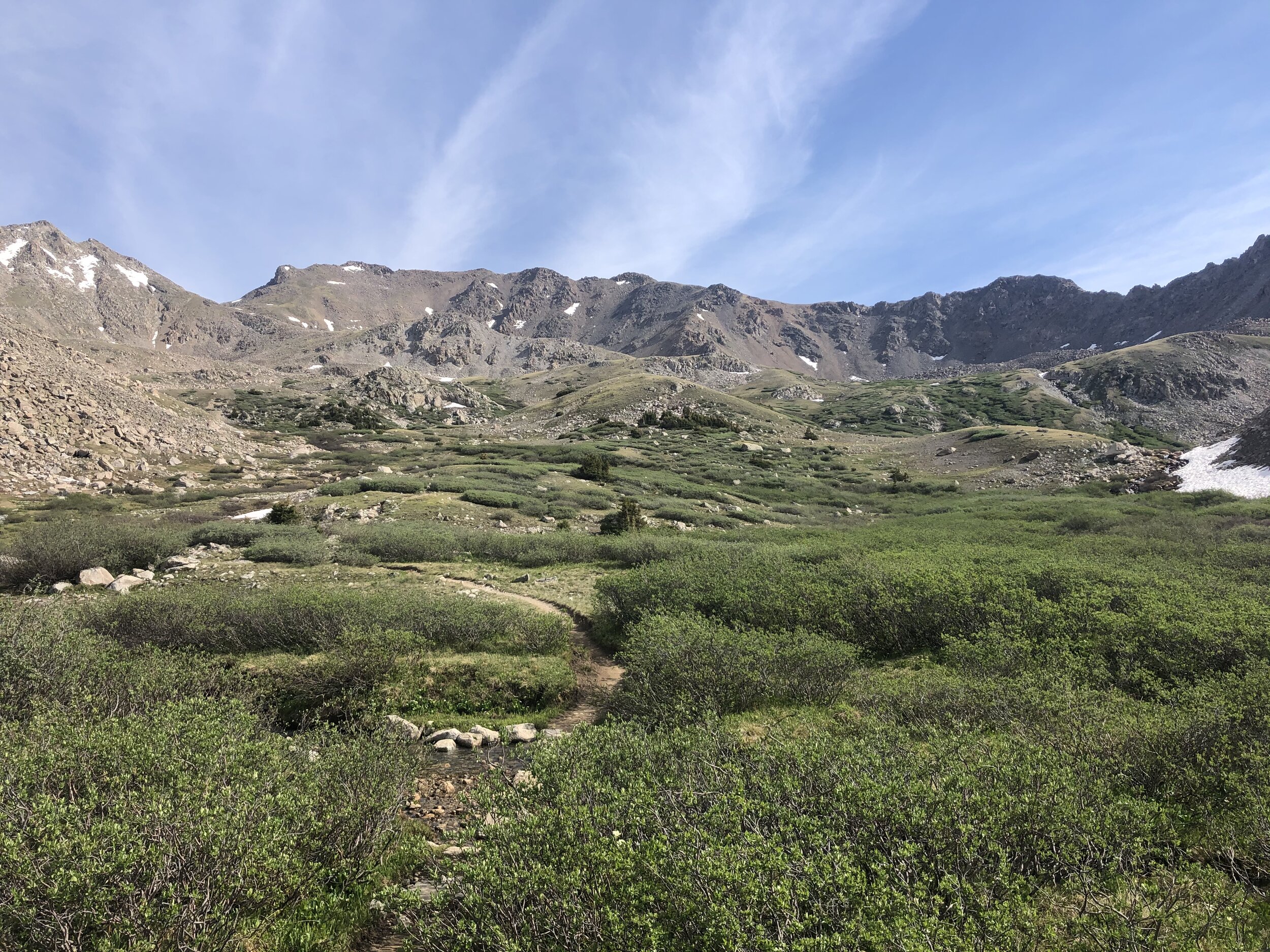
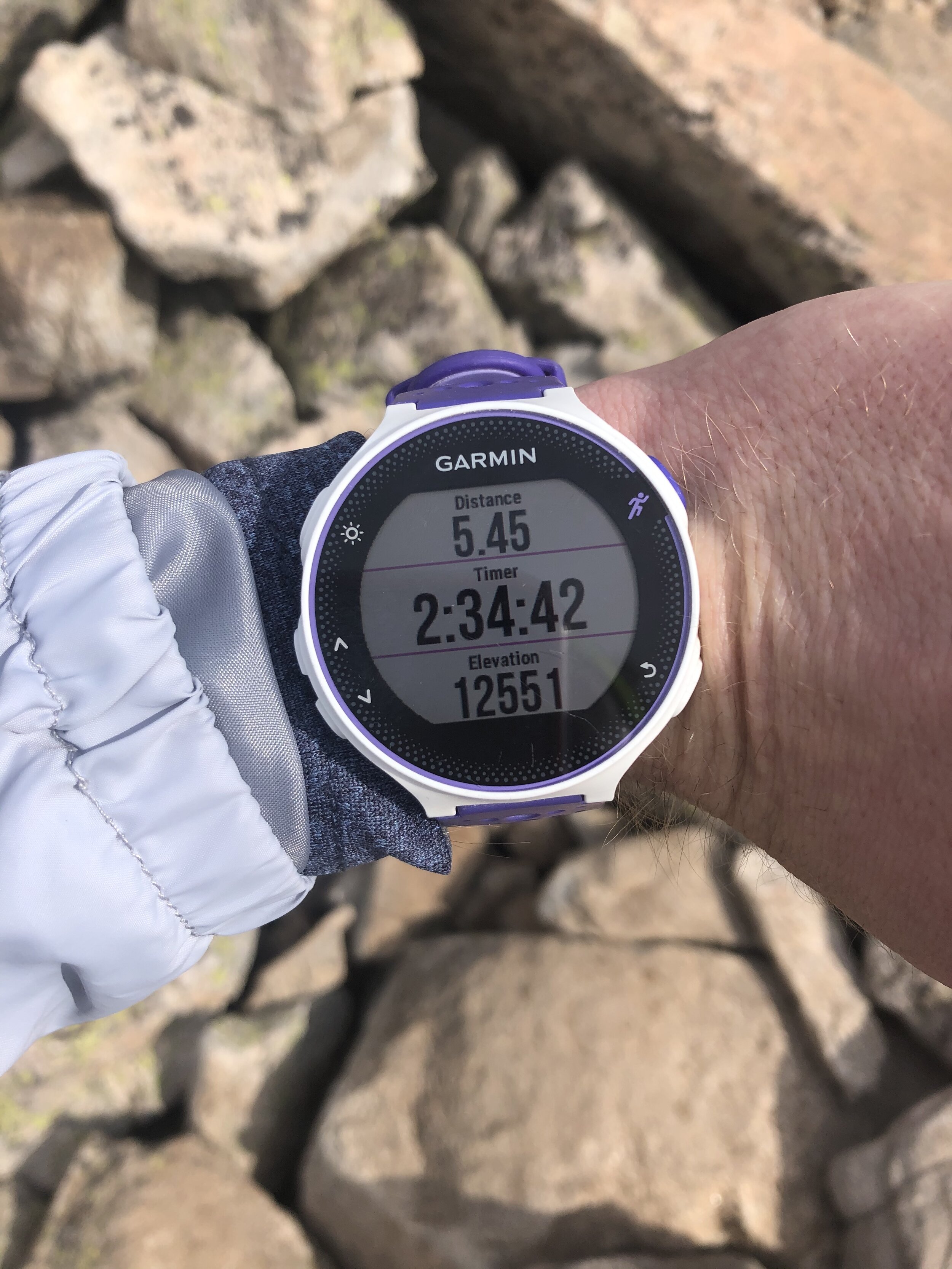
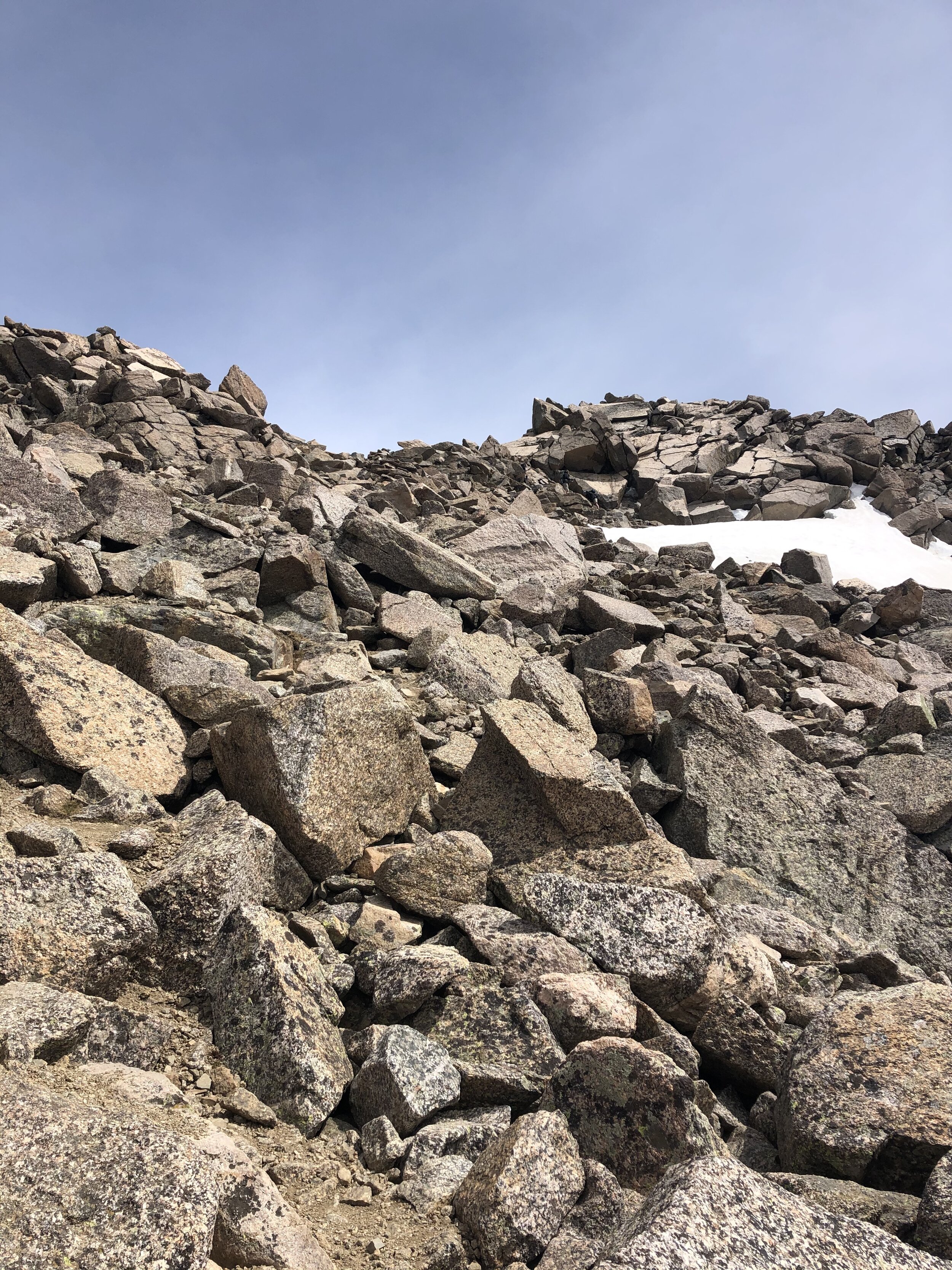
The hike through the basin was fairly flat…we did not begin to gain significant elevation until we started up a rocky portion at approximately 12,550’. We got here according to my watch at 5.45 miles, so that meant that we were going to gain just under 2k’ in elevation in the next ~1.5 miles. We finally made it to the steep(er) section of the hike! Woo hoo!!!!
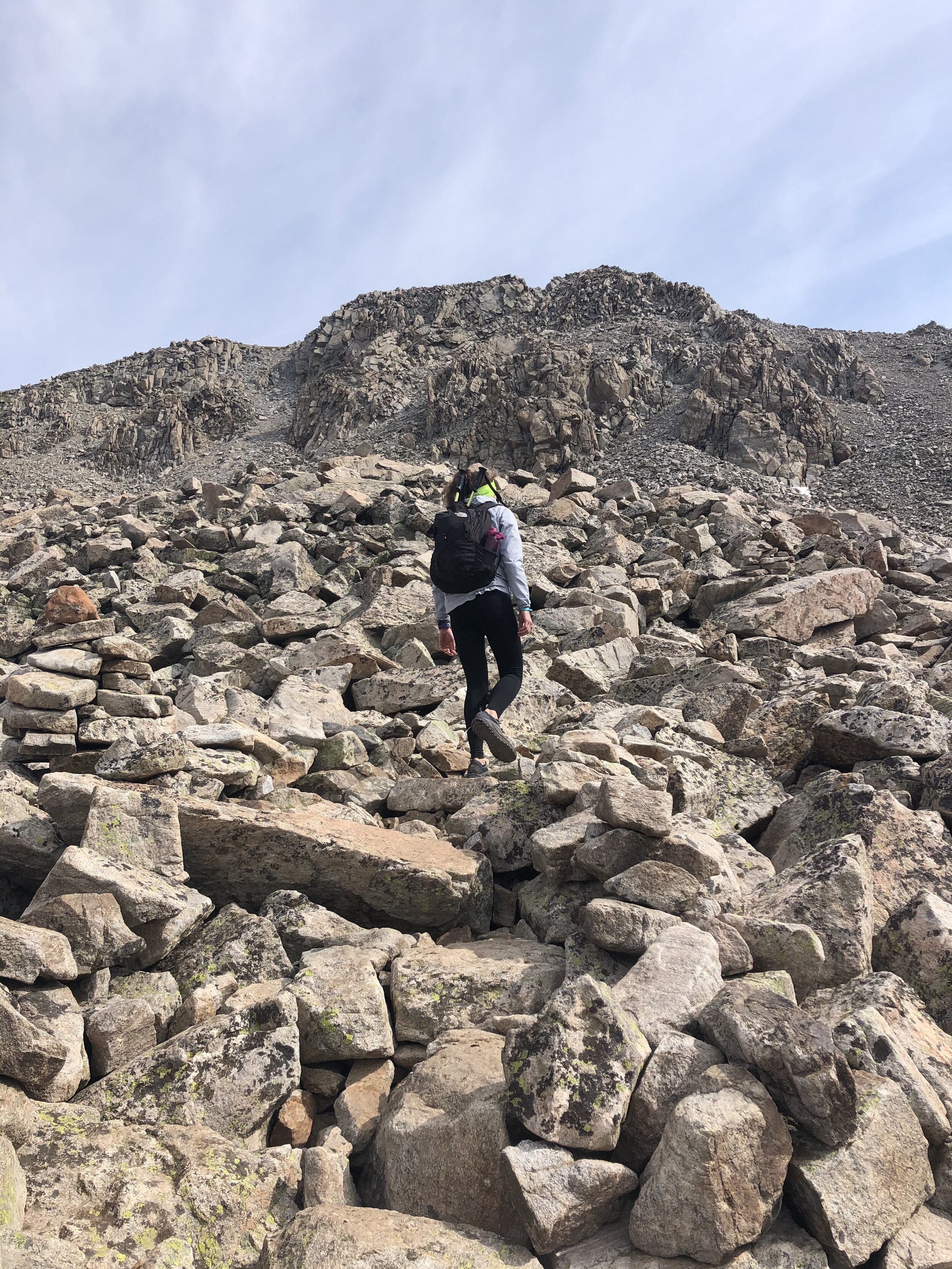
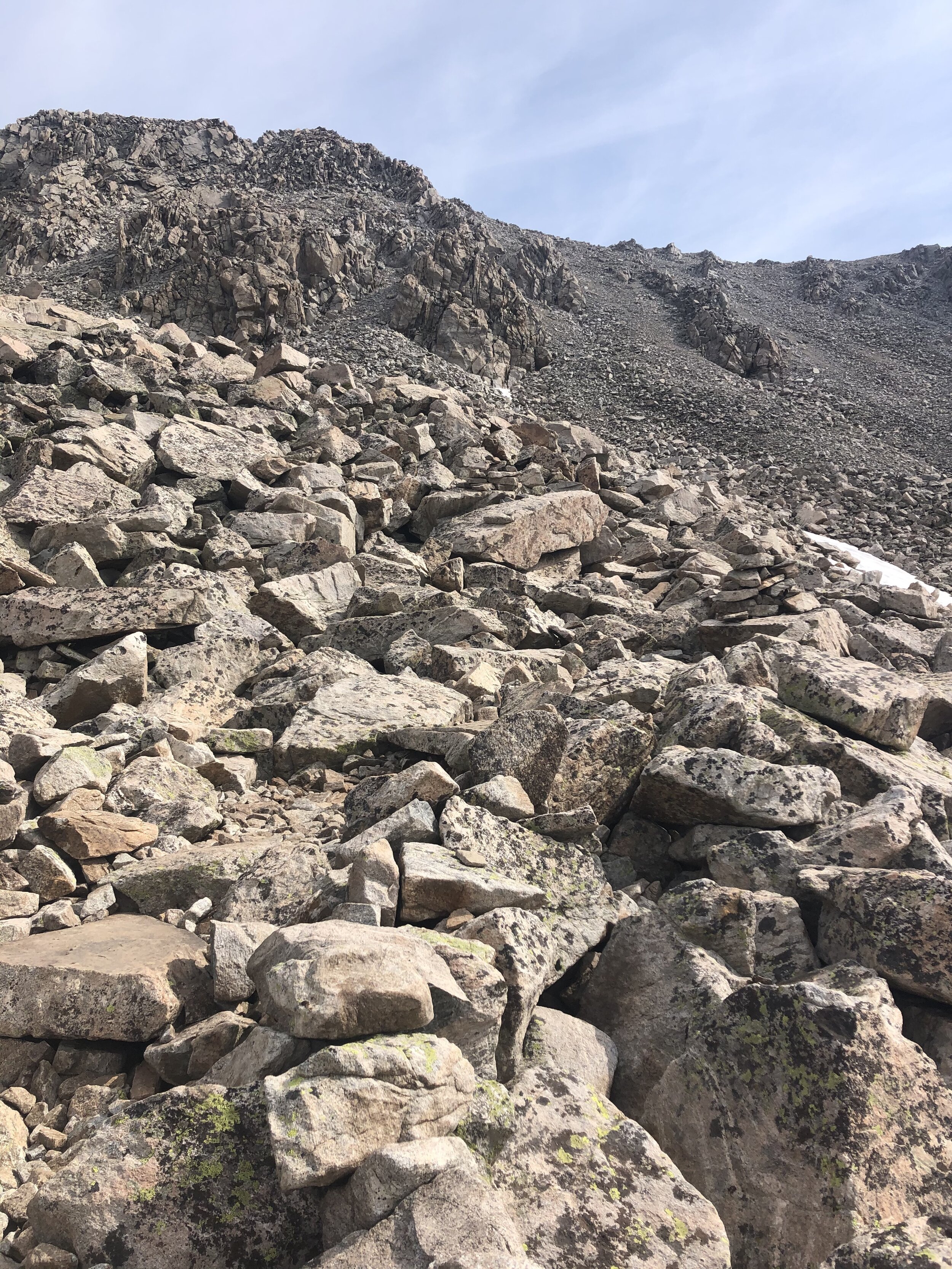
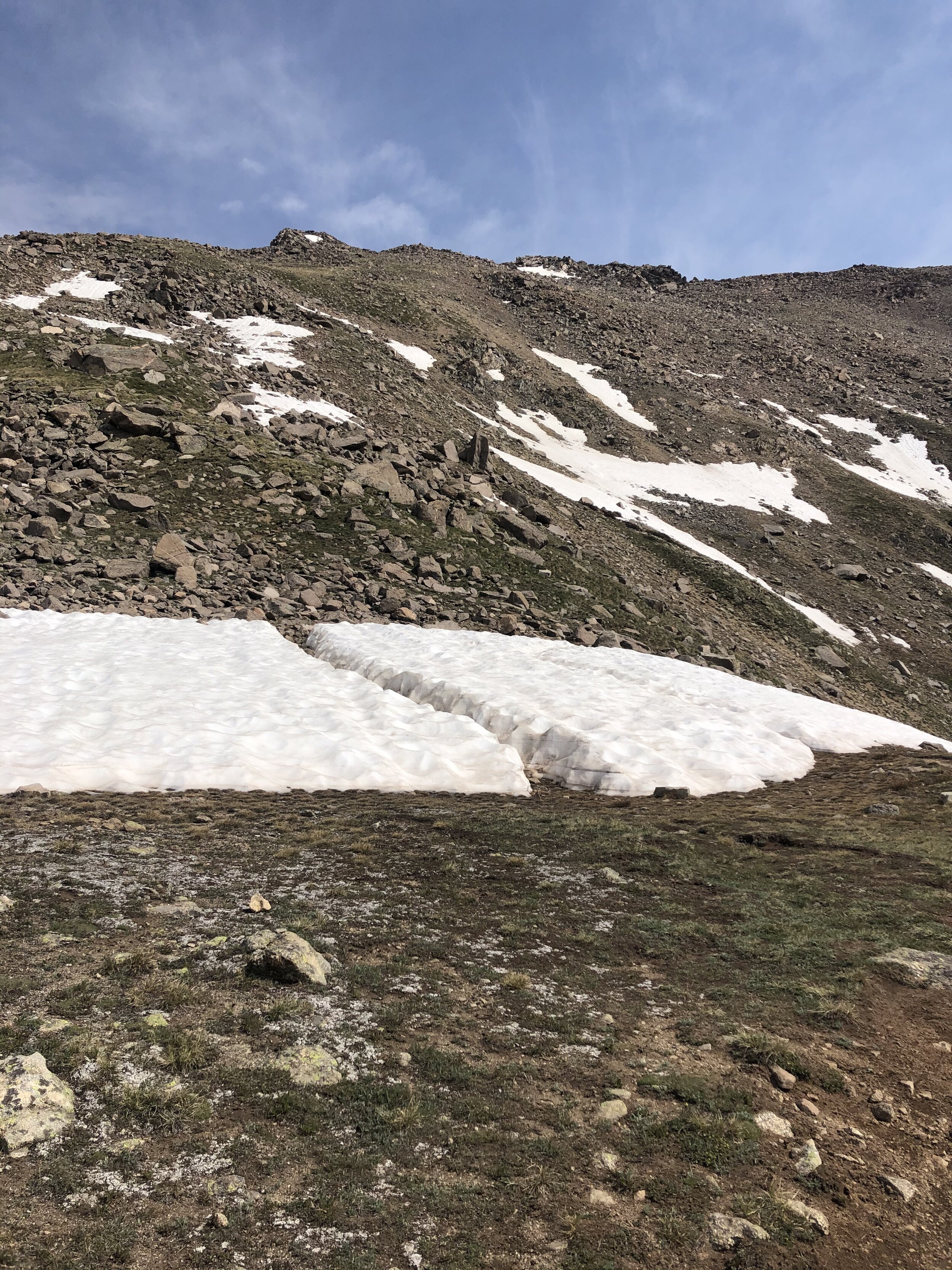
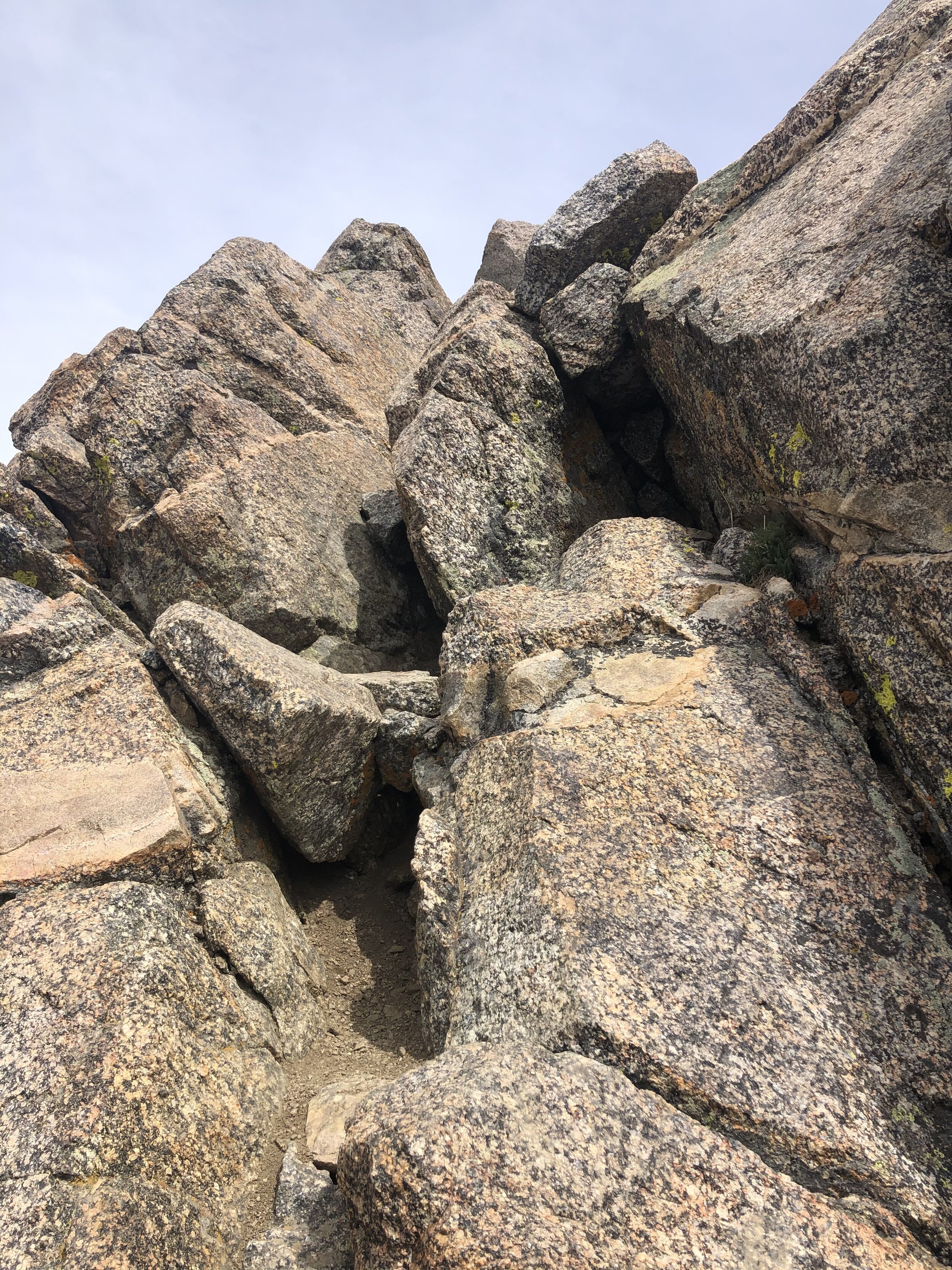
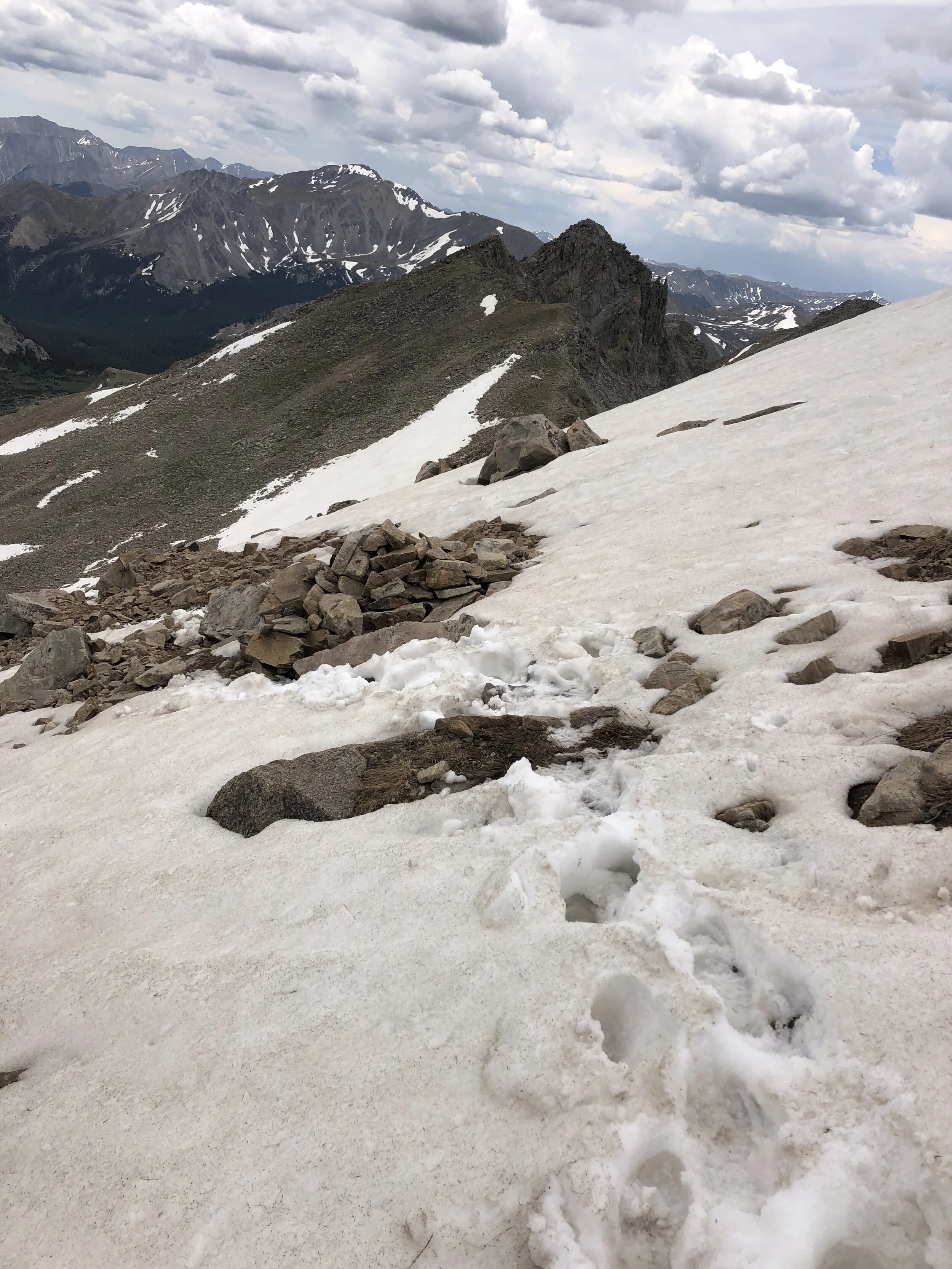
We kept hiking and finally saw and crossed some small snowfields. We went slightly off trail just to not cross a snowfield but then got right back on the trail. Once we got super close to the top, we had to pause for a couple minutes to determine how to get up to the summit (the final pitch—last picture).
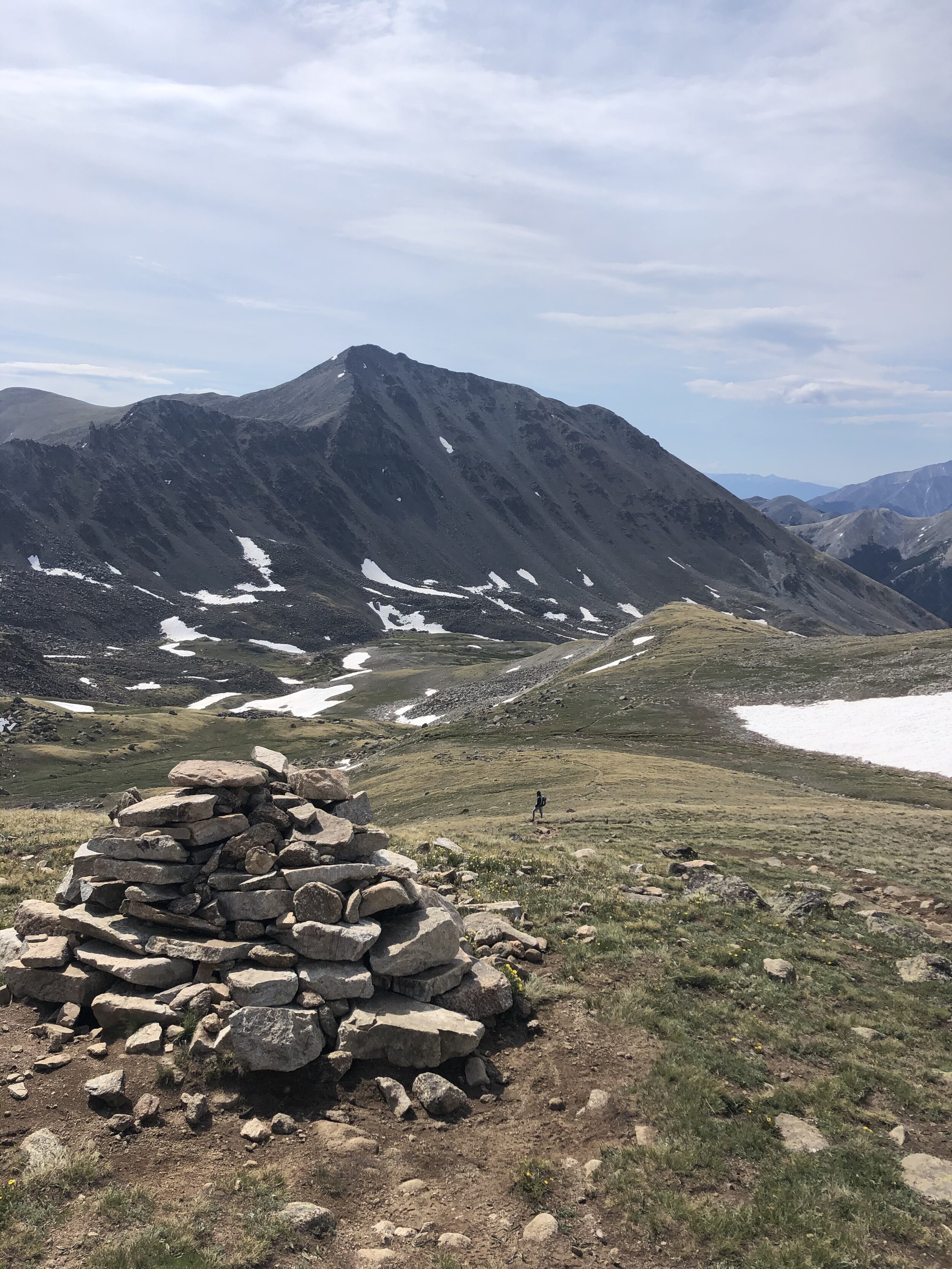
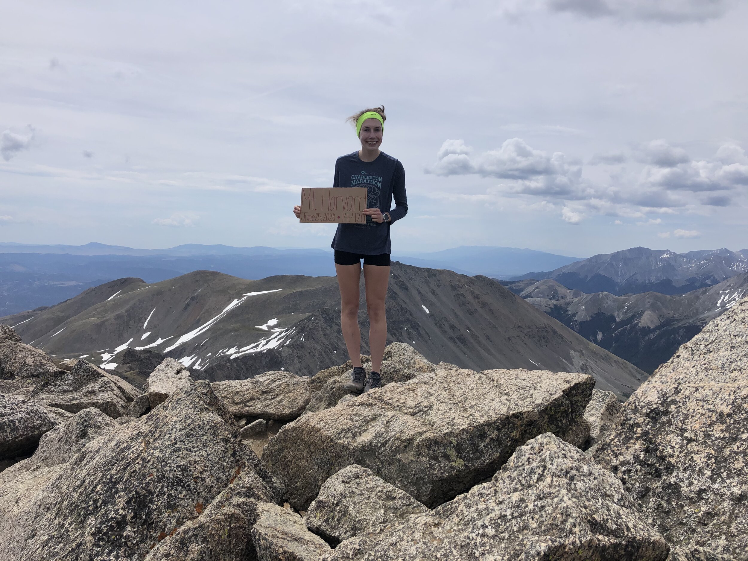
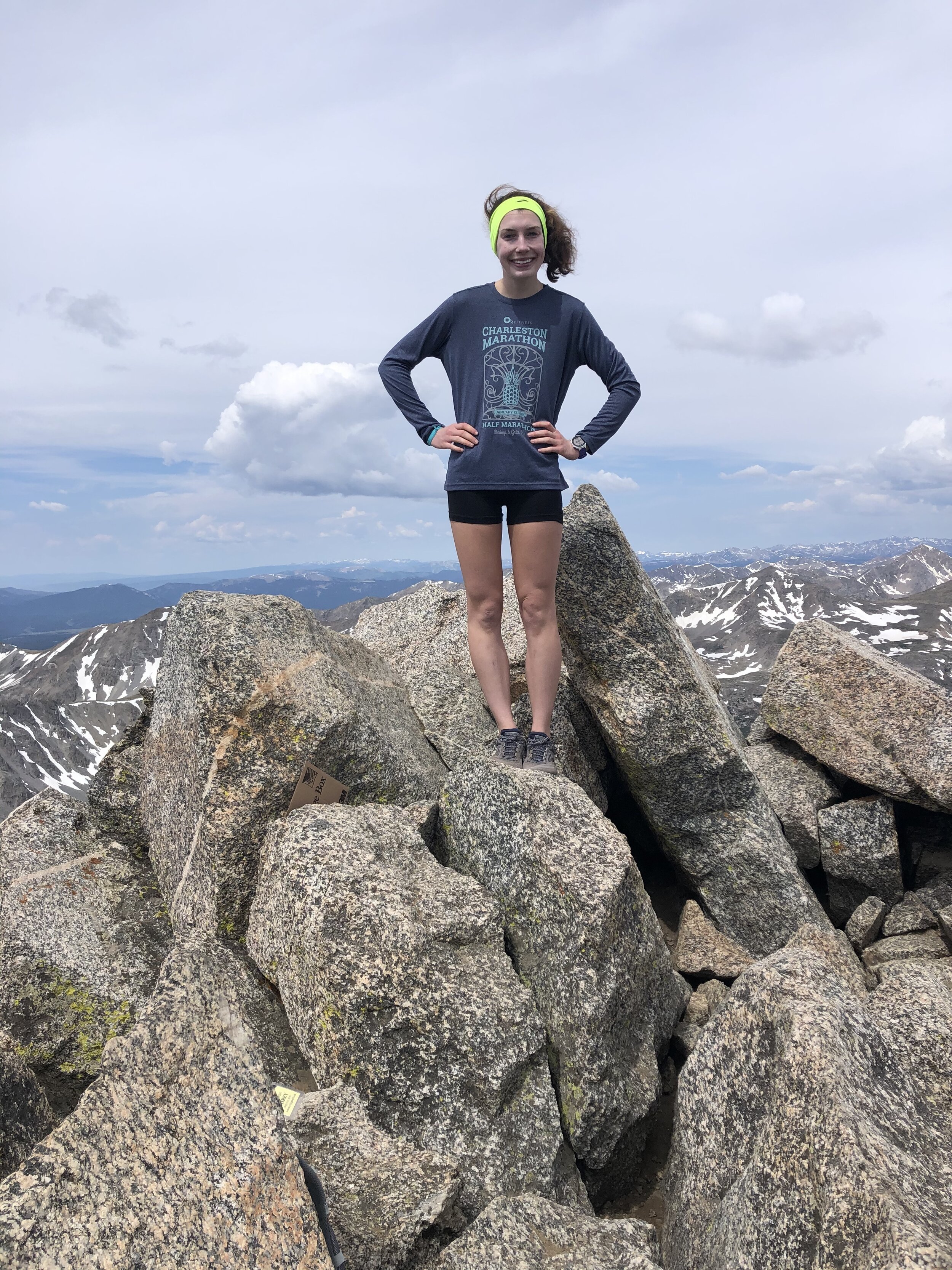
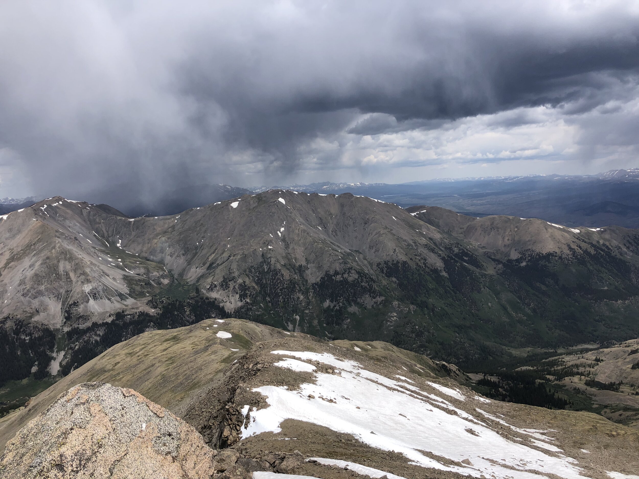
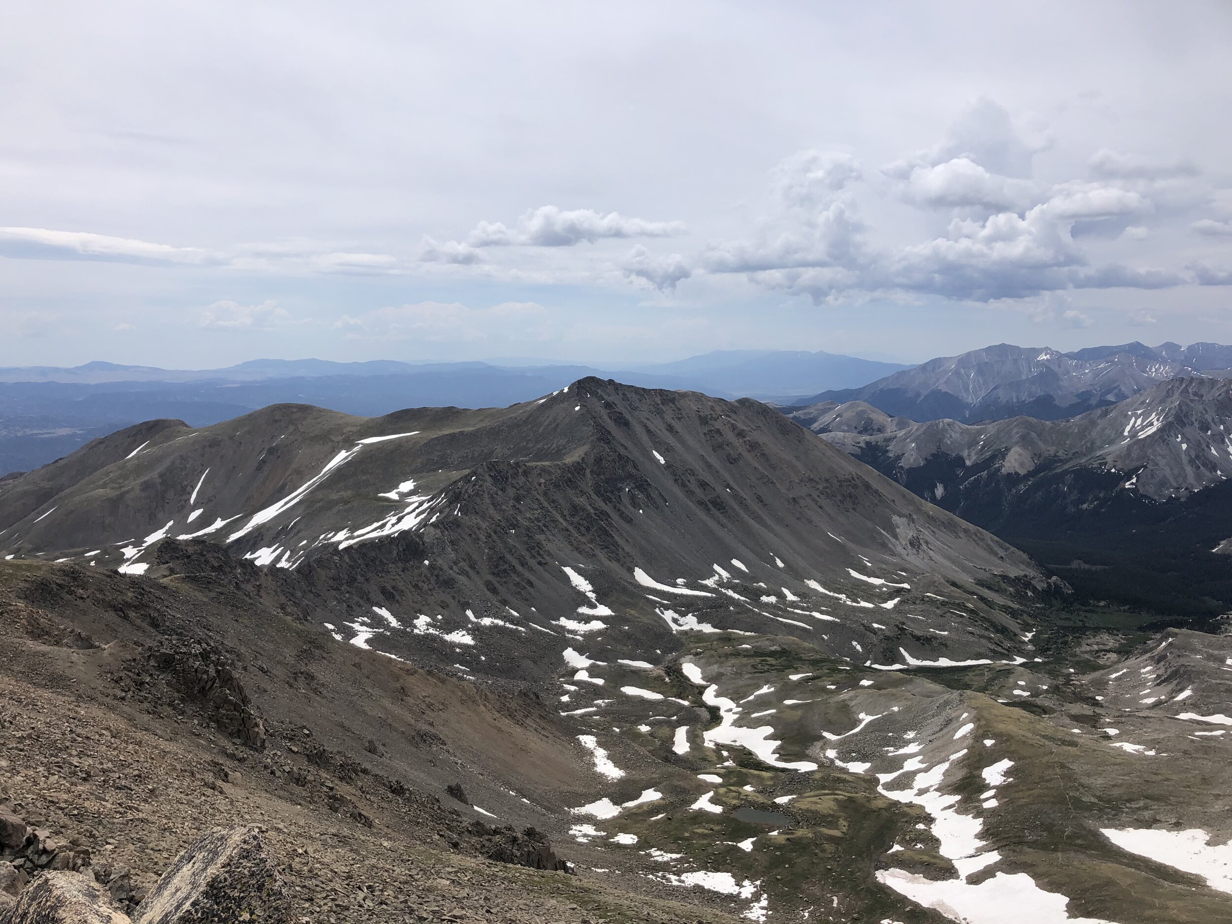
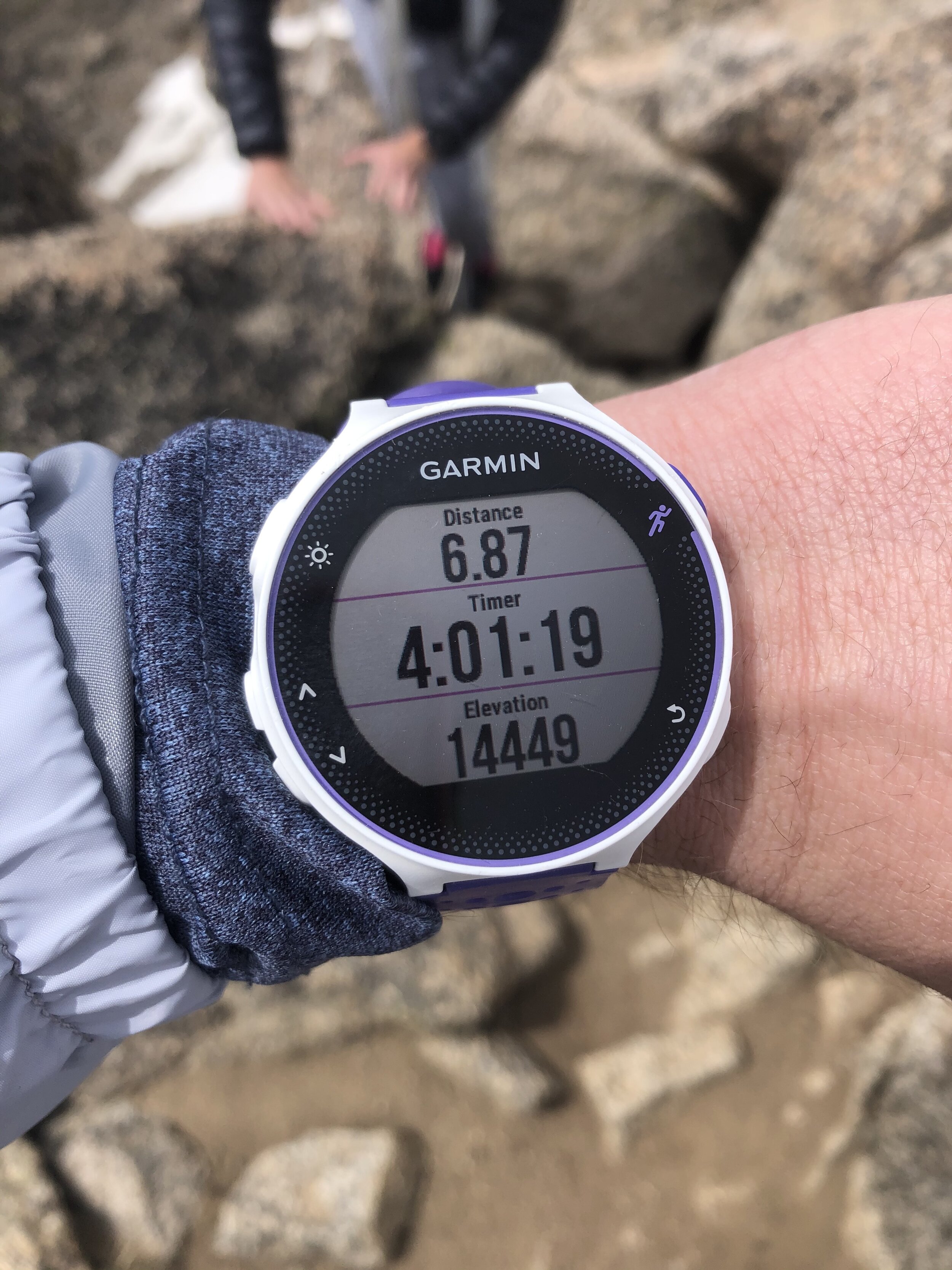
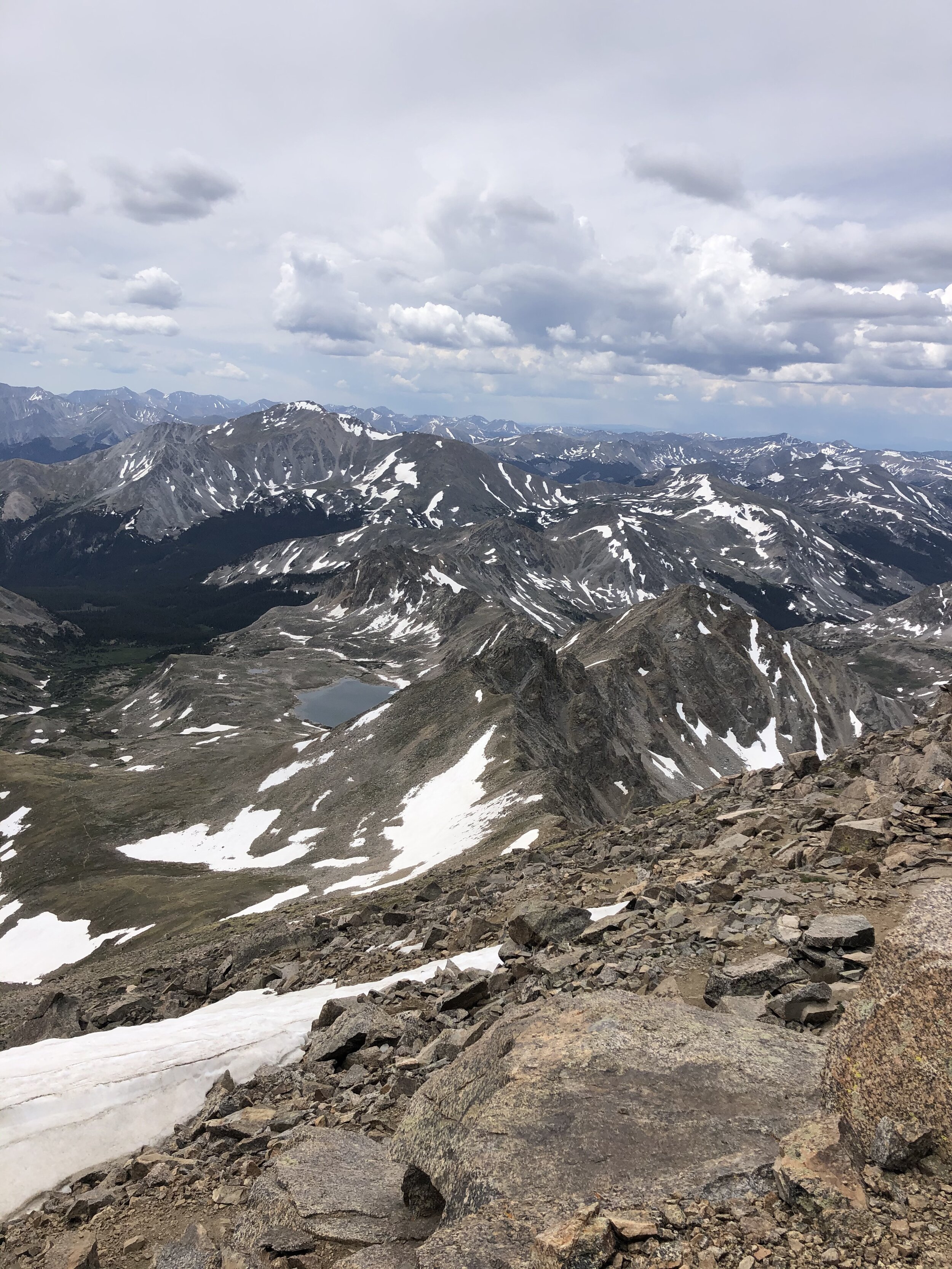
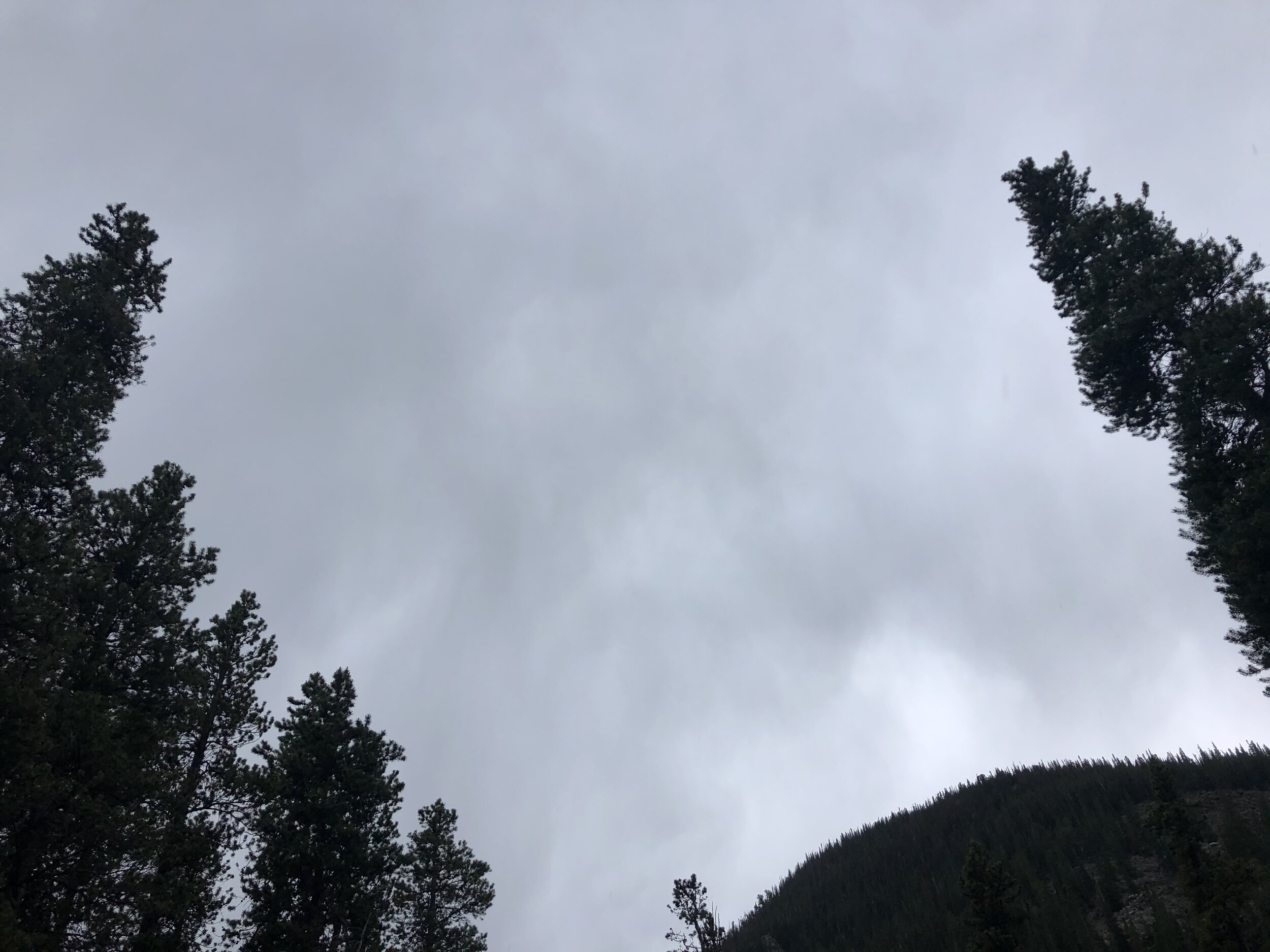
4 hours and 6.87 miles later, we reached the 14,420’ Mt. Harvard summit! This summit was definitely much different than Humboldt’s summit—smaller and quite large-rocky (not sure how else to describe it lmao). We chilled at the summit for 25 minutes before starting our descent. Melissa and I didn’t take a picture together (lol), but, yeah, we took pictures of each other. We had a great view of the nearby Columbia summit (5th picture). It started getting darker and cloudy when we were at the summit.
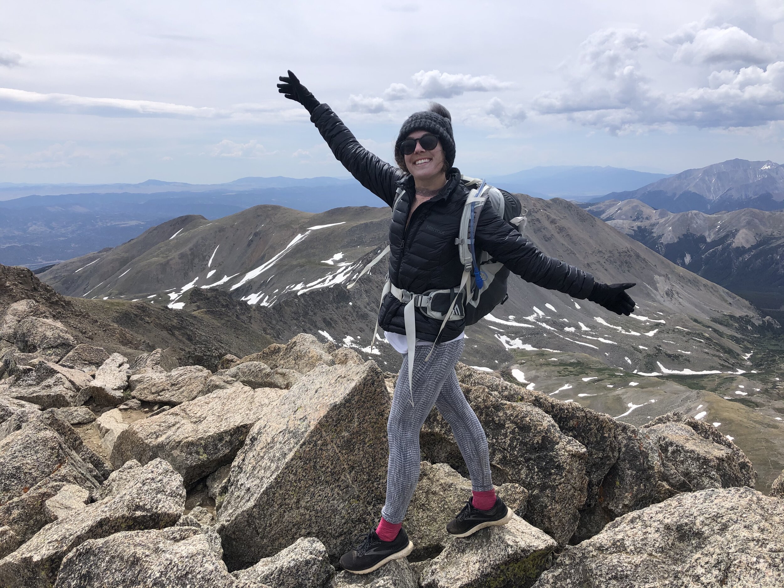
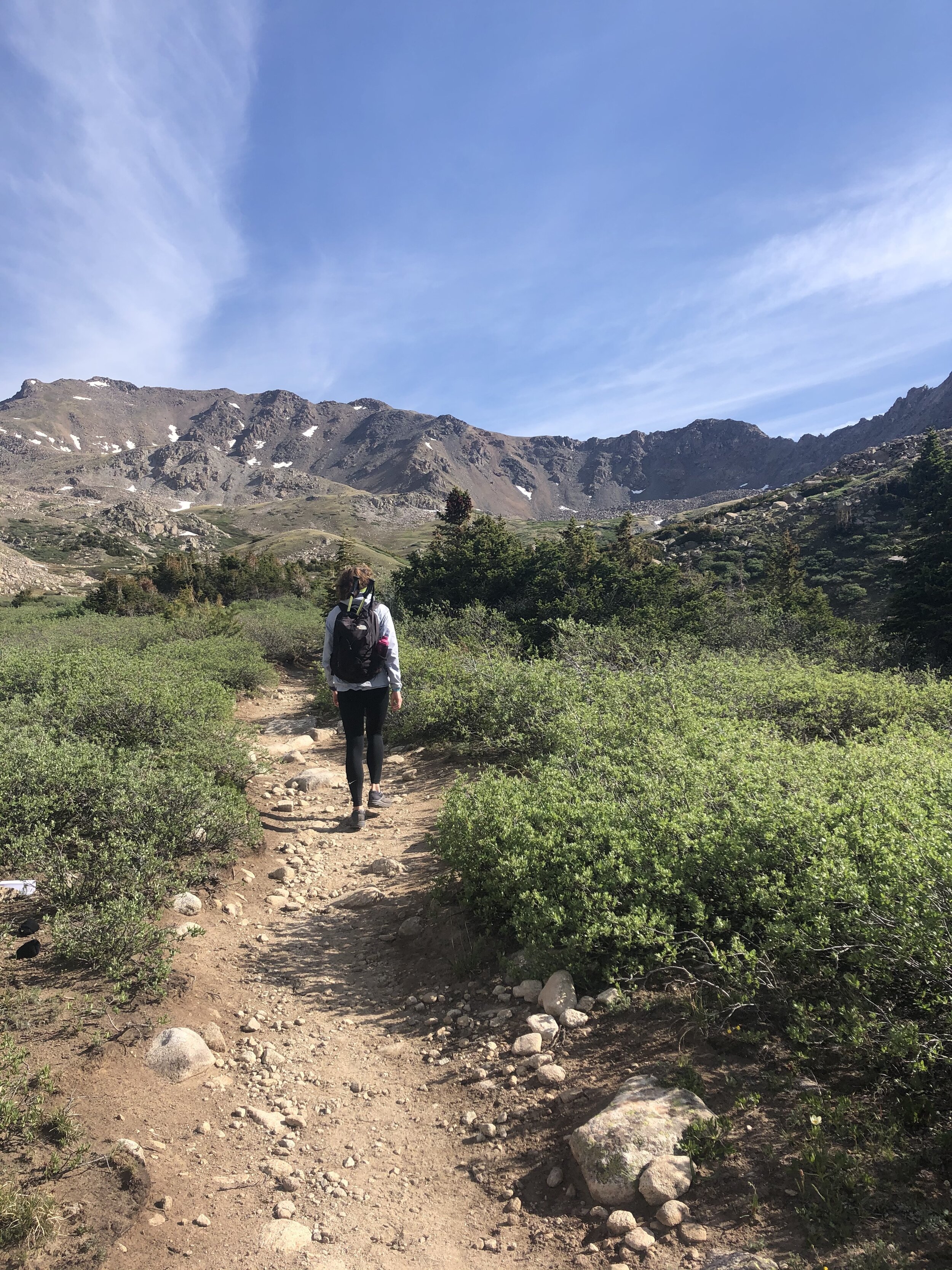
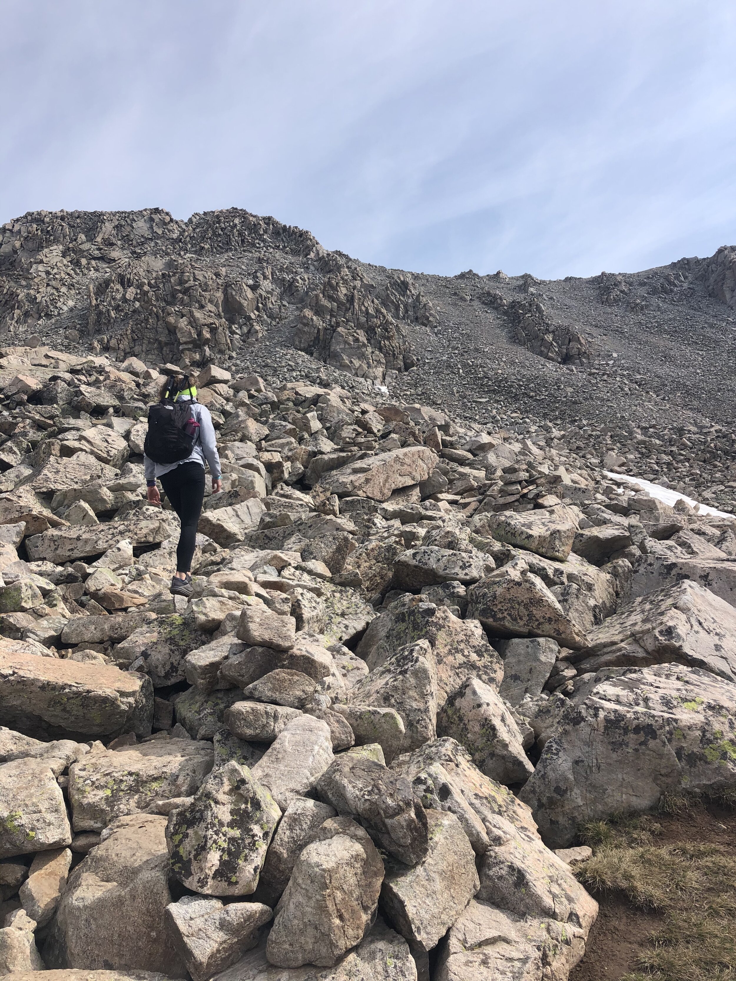
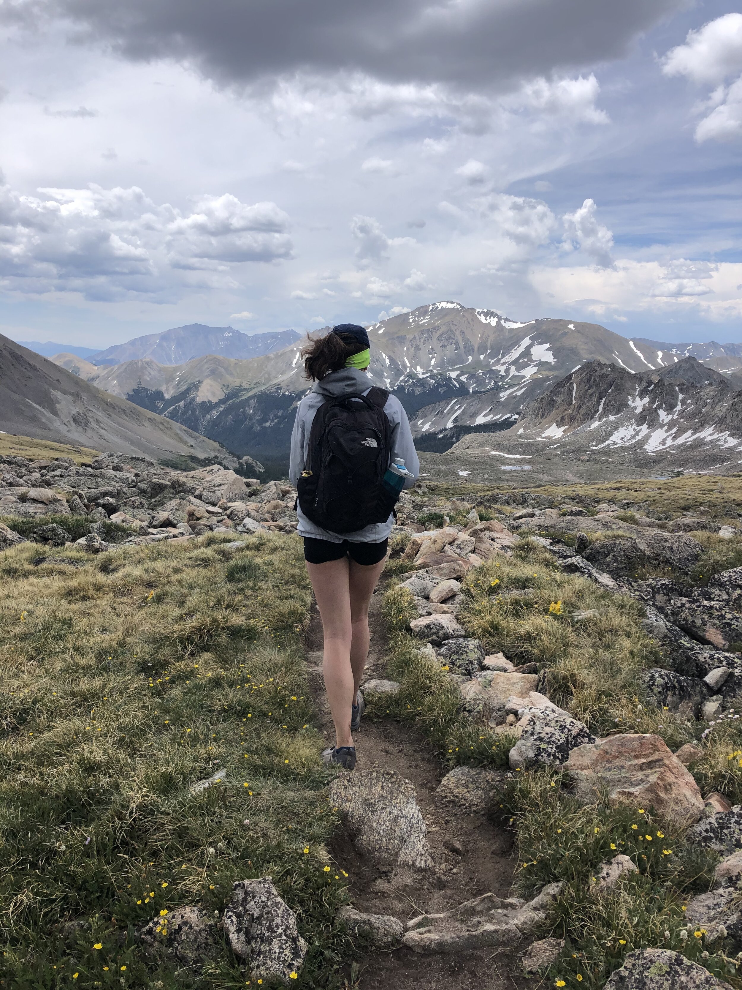
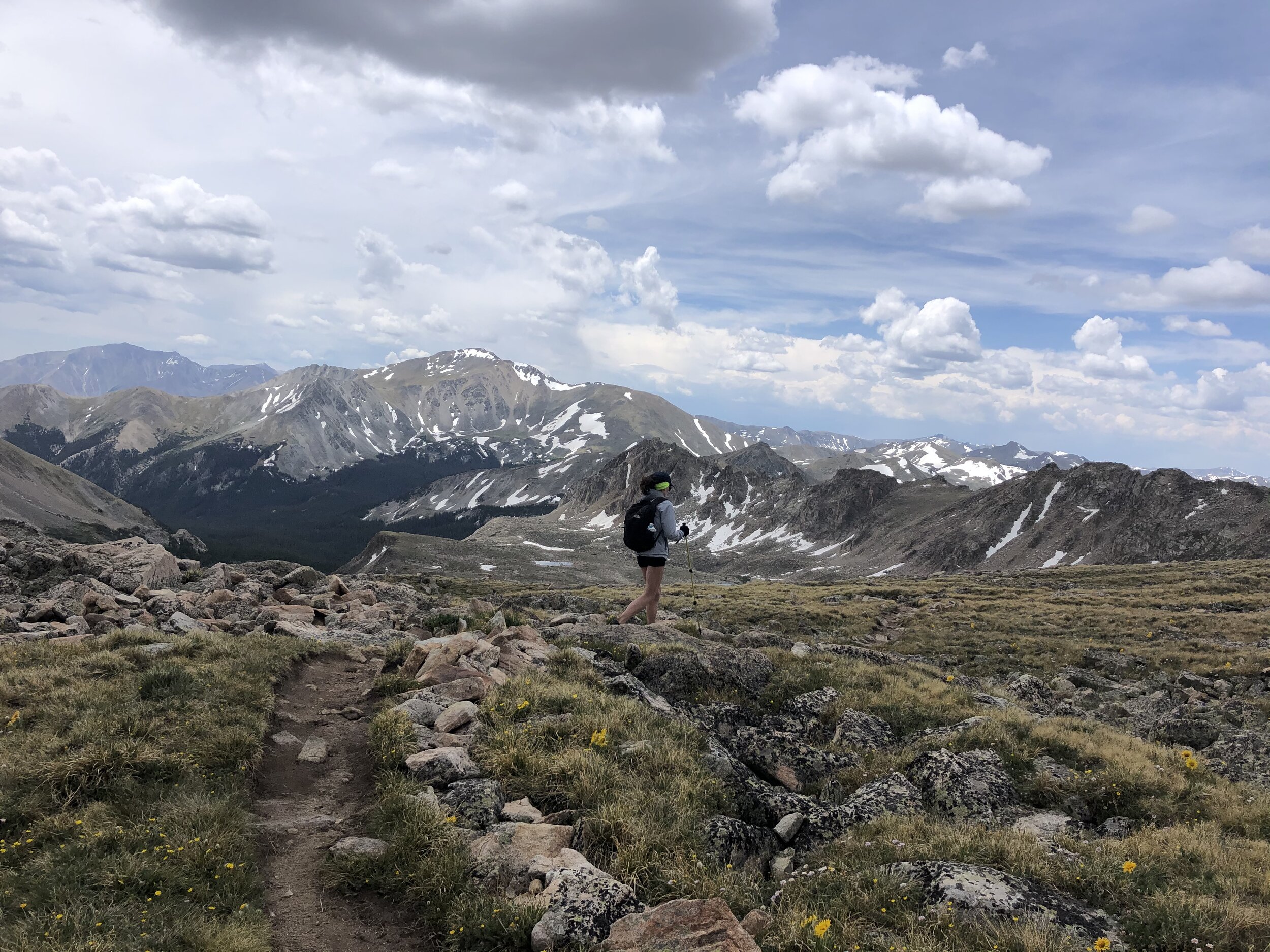
After we descended the final pitch, I took out my hiking poles to use for the rest of the hike. Melissa snapped some cool pictures of me from behind once we got back into the basin area! I miss out on cool pictures like these when I solo hike!!
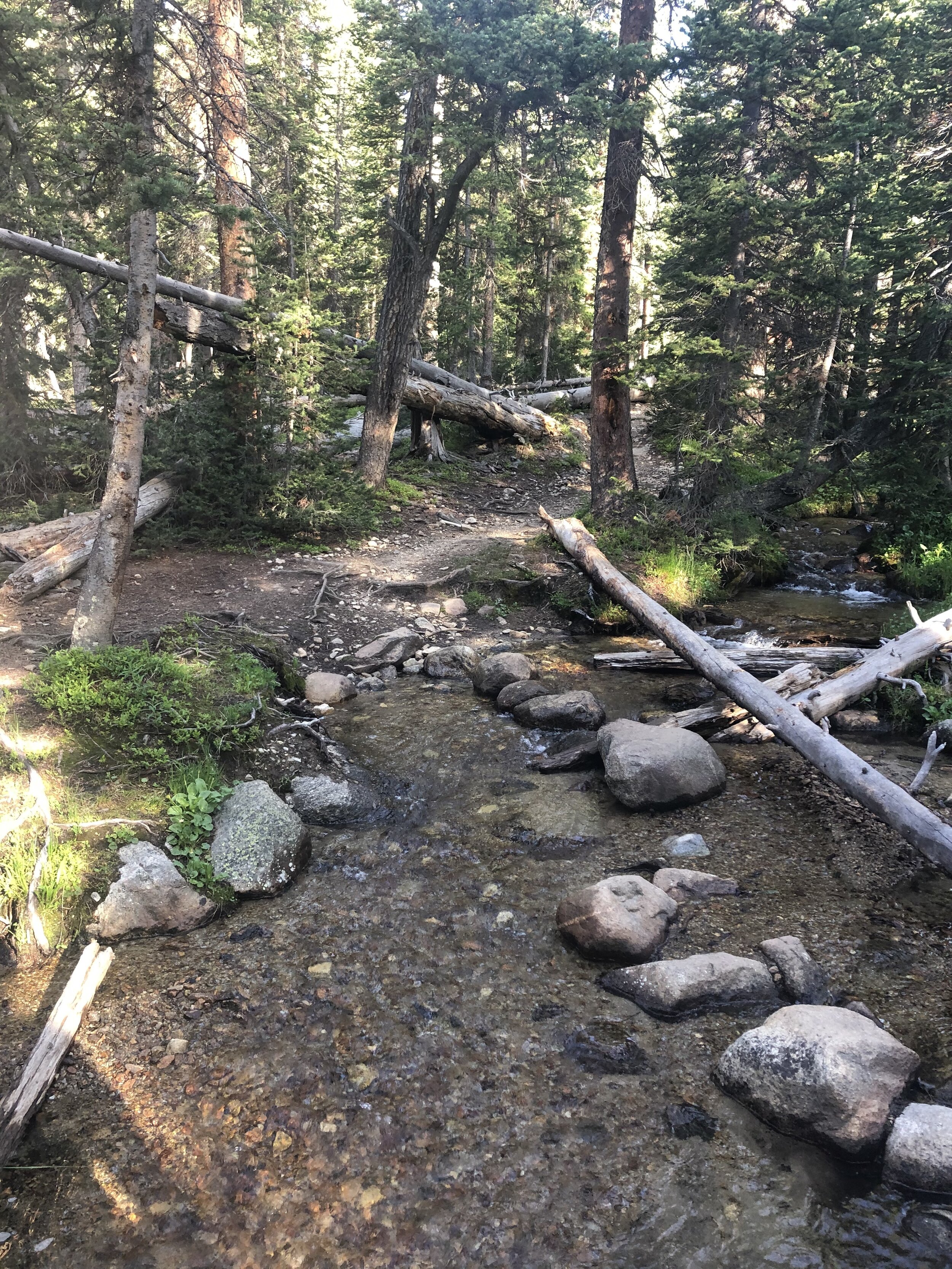
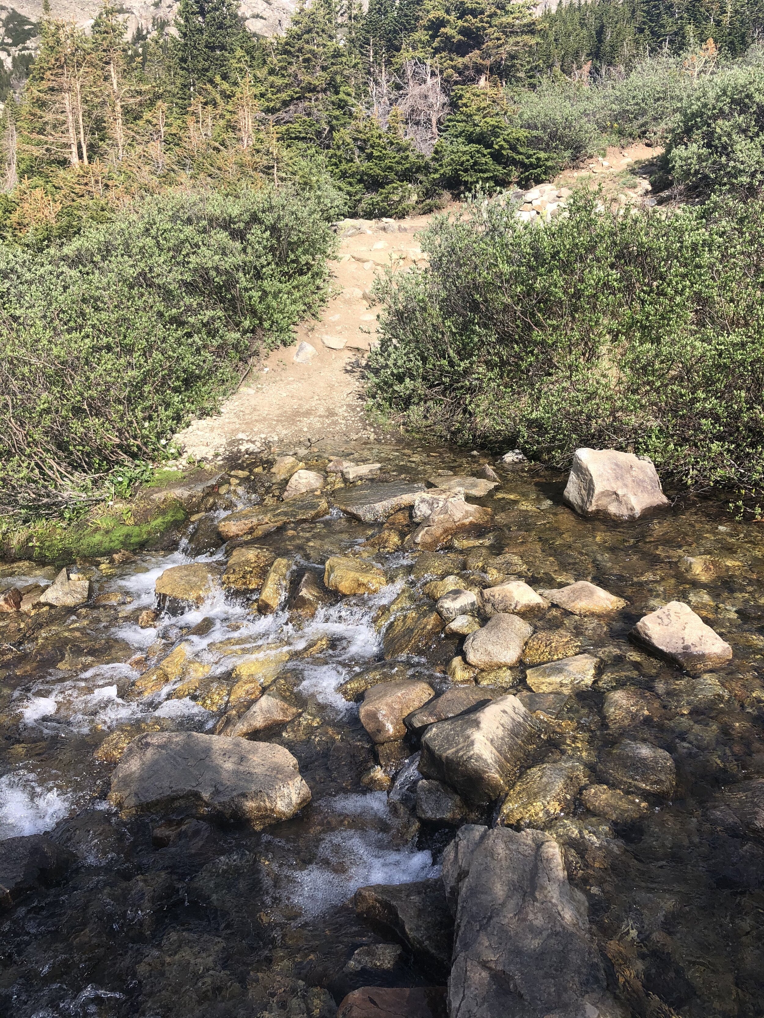
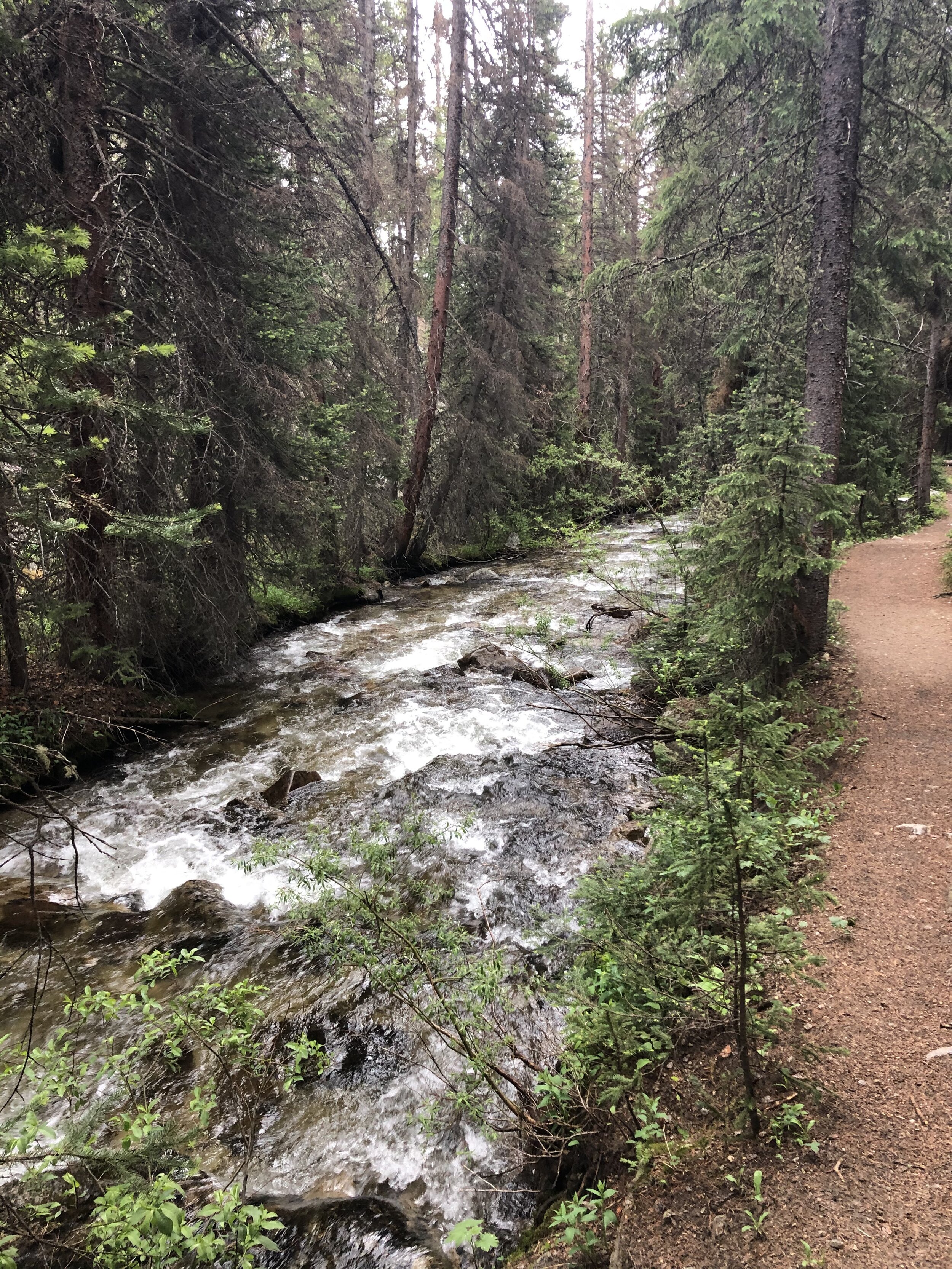
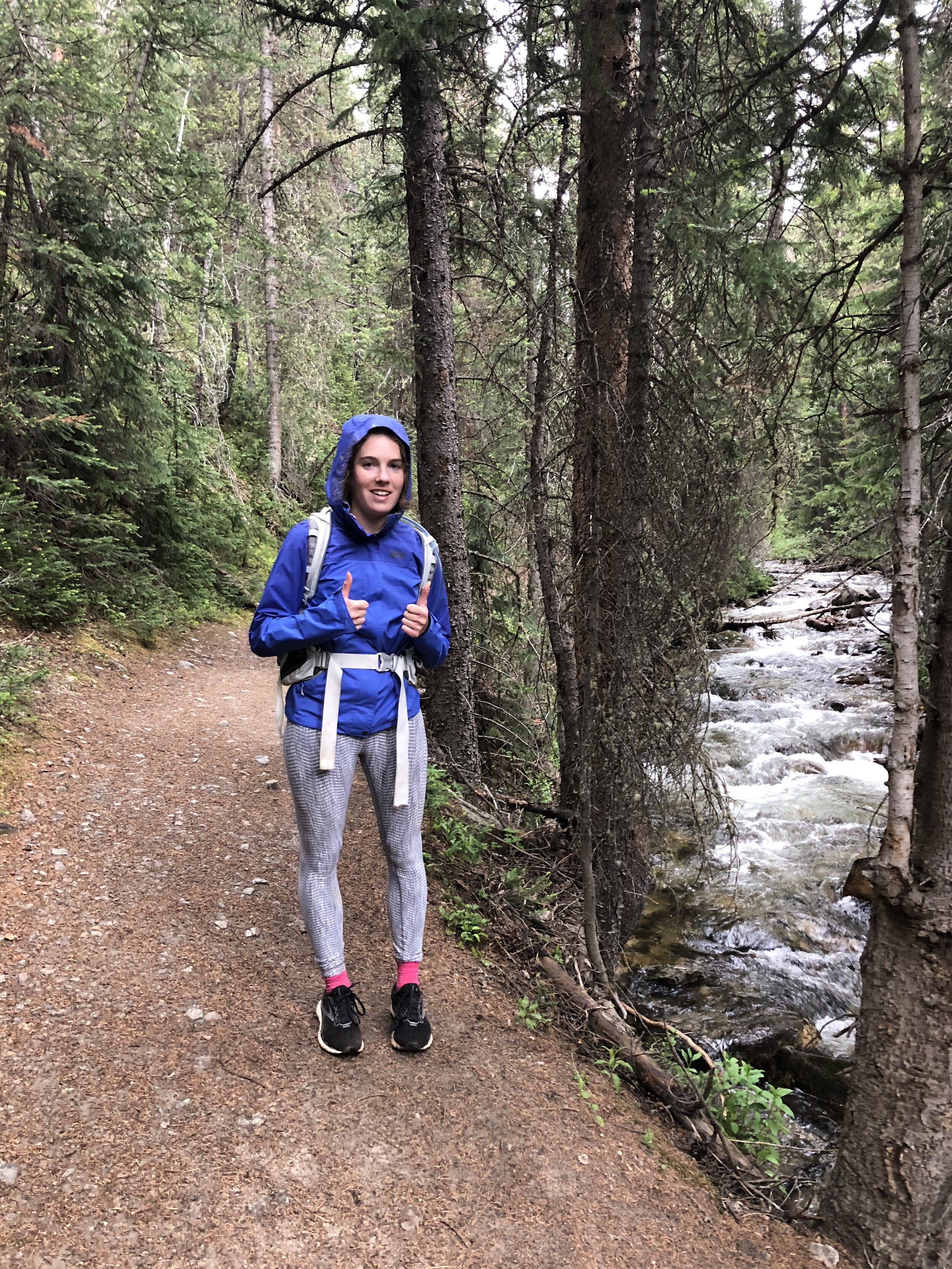
It started raining near the end of the hike. Again, I didn’t take many pictures, but the ones I did take were cool ;) A picture of the stream and a picture of Melissa because “Kristin, take a picture of me”. 7 hours and 37 minutes and 13.80 miles later, we finished the hike and returned to our car!
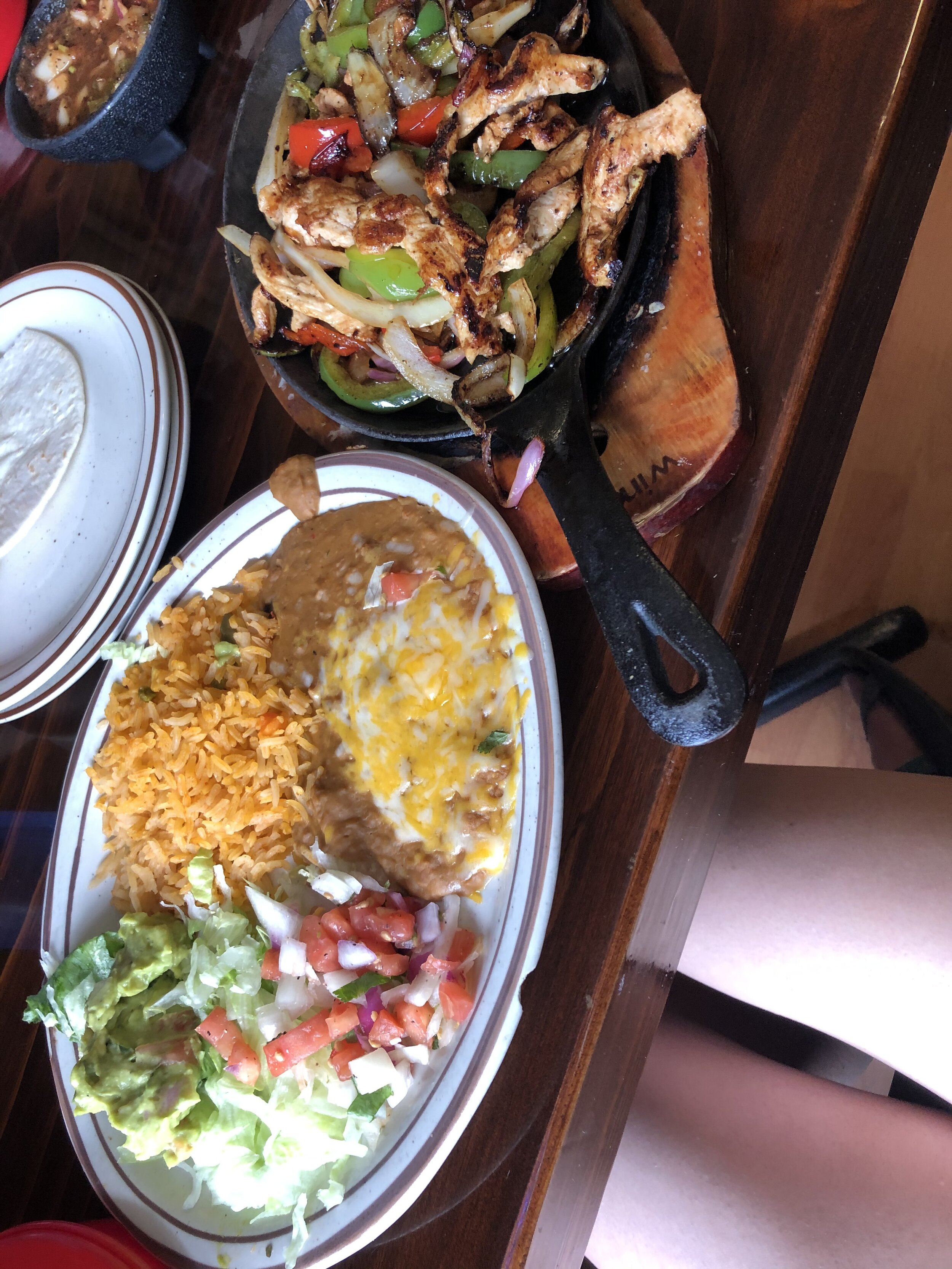
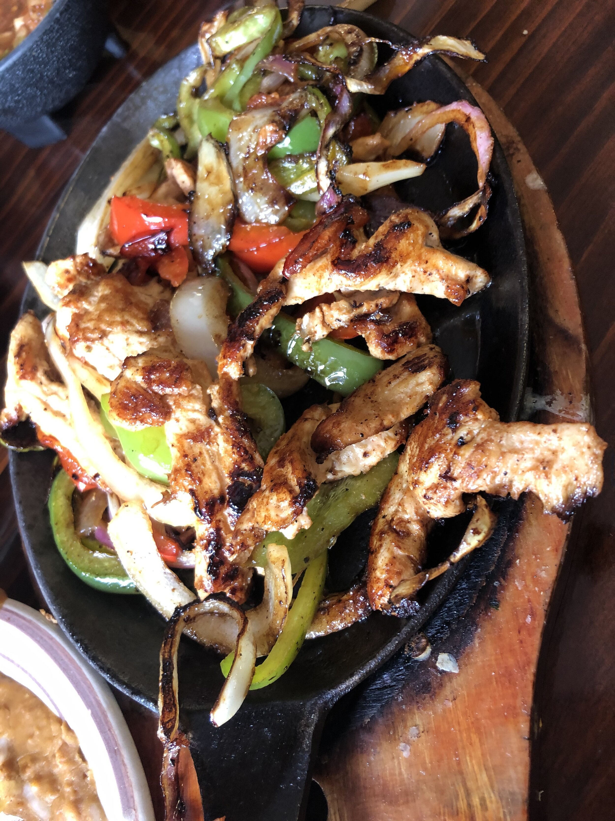
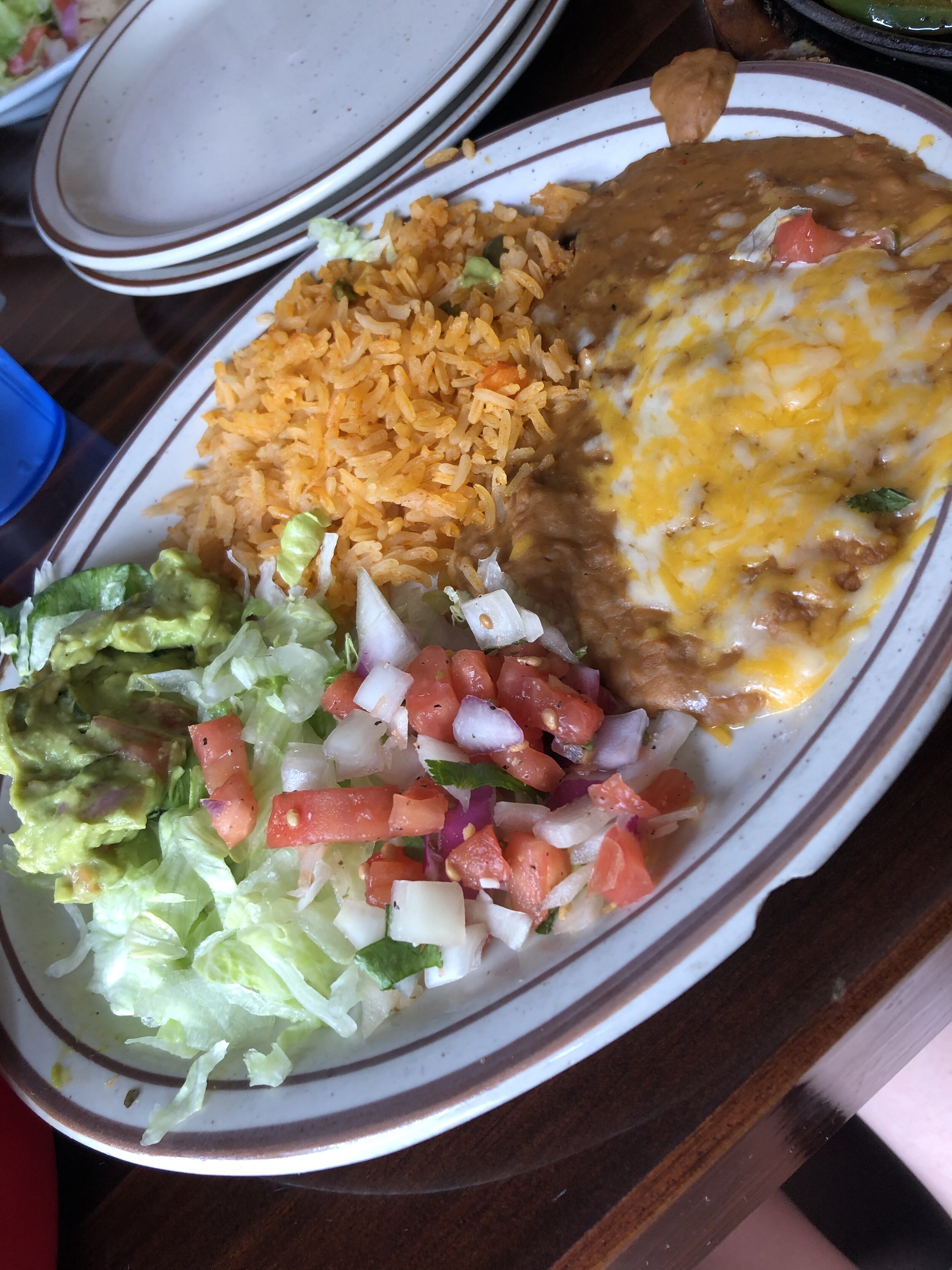
The post-hike move was La Casa Sanchez in Buena Vista!! As usual, I ordered the chicken fajitas and, yeah, I finished it lol. Thanks Melissa for letting me your chicken and veggies that you didn’t finish!!! After lunch (Idk it was 3:30pm when we ate), we headed back to Colorado Springs! It was a fun day and nice to do a hike in the Sawatch Range with another person (iykyk, these Sawatch Range hikes can get kinda boring sometimes but I still love doing it haha). 32nd 14er complete!! :) (and Melissa’s 13th wooo)