Mt. of the Holy Cross
July 21, 2019 / 14,005’
rt stats: total time - 7 hr & 31 min, 11.50 miles, and 5,581’ Elevation gain
time stats: 3 hr & 42 min to holy cross, 52 min at holy cross summit, 2 hr & 57 min back to trailhead
rating (how much i liked the hike): 9/10
I was pretty excited for Mount of the Holy Cross. I chose it for 2 reasons—the mountain literally has such an awesome name and it is a unique 14er in that the route descends about 1,000 ft. on the way up to the summit. This descent means that you have to go gain 1,000 ft. of elevation on the way back to the trailhead. The total elevation gain for Mt. of the Holy Cross (~5,600 ft.) is just about the same as the total elevation gain for the Mt. Belford/Mt. Oxford combination and the Mt. Shavano/Tabeguache Peak combination, yet the profile is different as there is significant elevation gain on the descent.
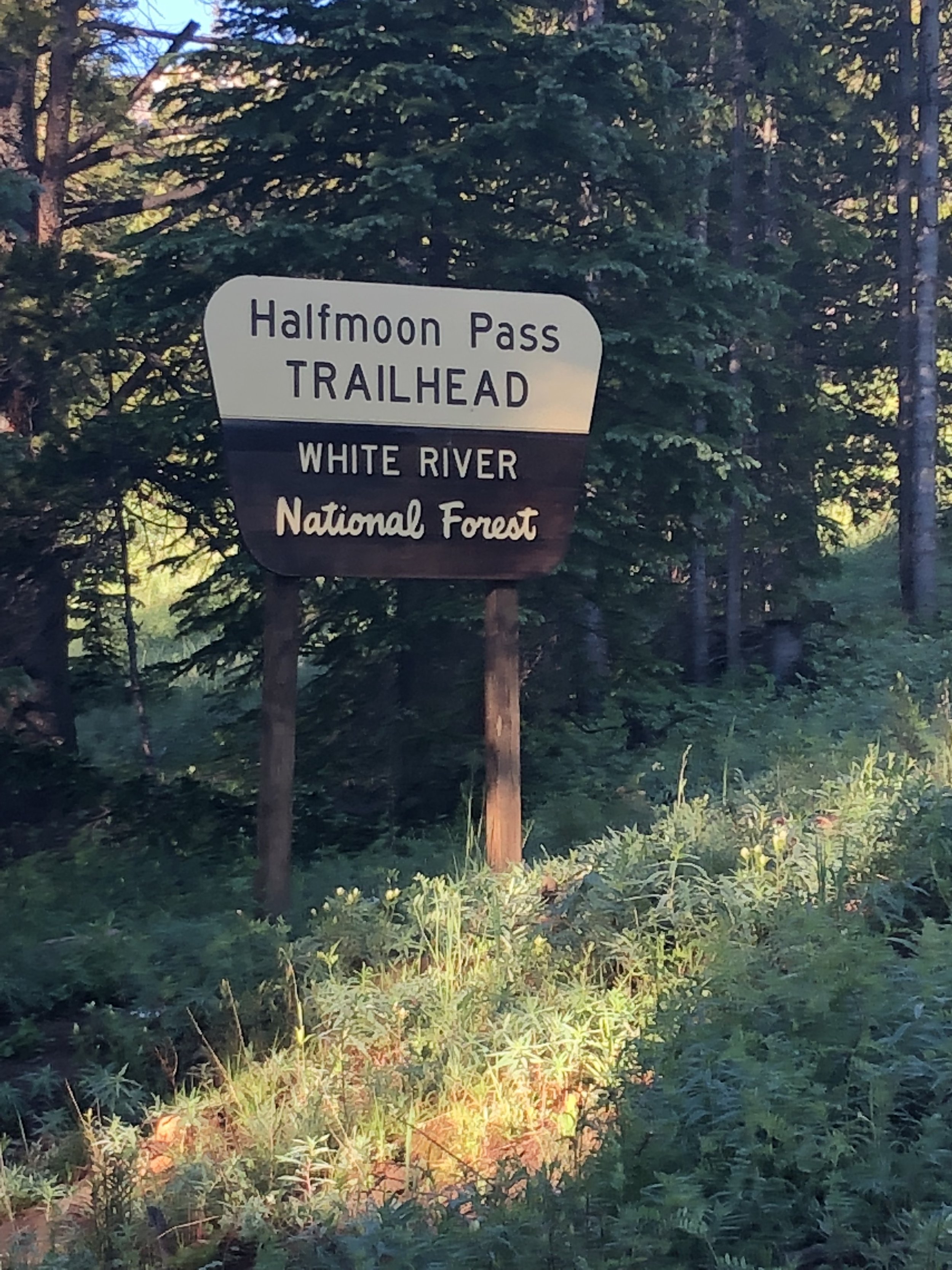
Dennis, Hans, and I left Leadville a little before 5:30 am. It felt nice to sleep in until just before 5 am for once. It took about an hour and 20 minutes to arrive at Half Moon trailhead. Tigiwon Road was the unpaved road to the trailhead. It was a little rough, but was driven on by my 2WD car. This weekend, it was my turn to drive and I must say that I enjoy driving on roads like this because it’s fun and adds some excitement (and I never get to do it where I am from).
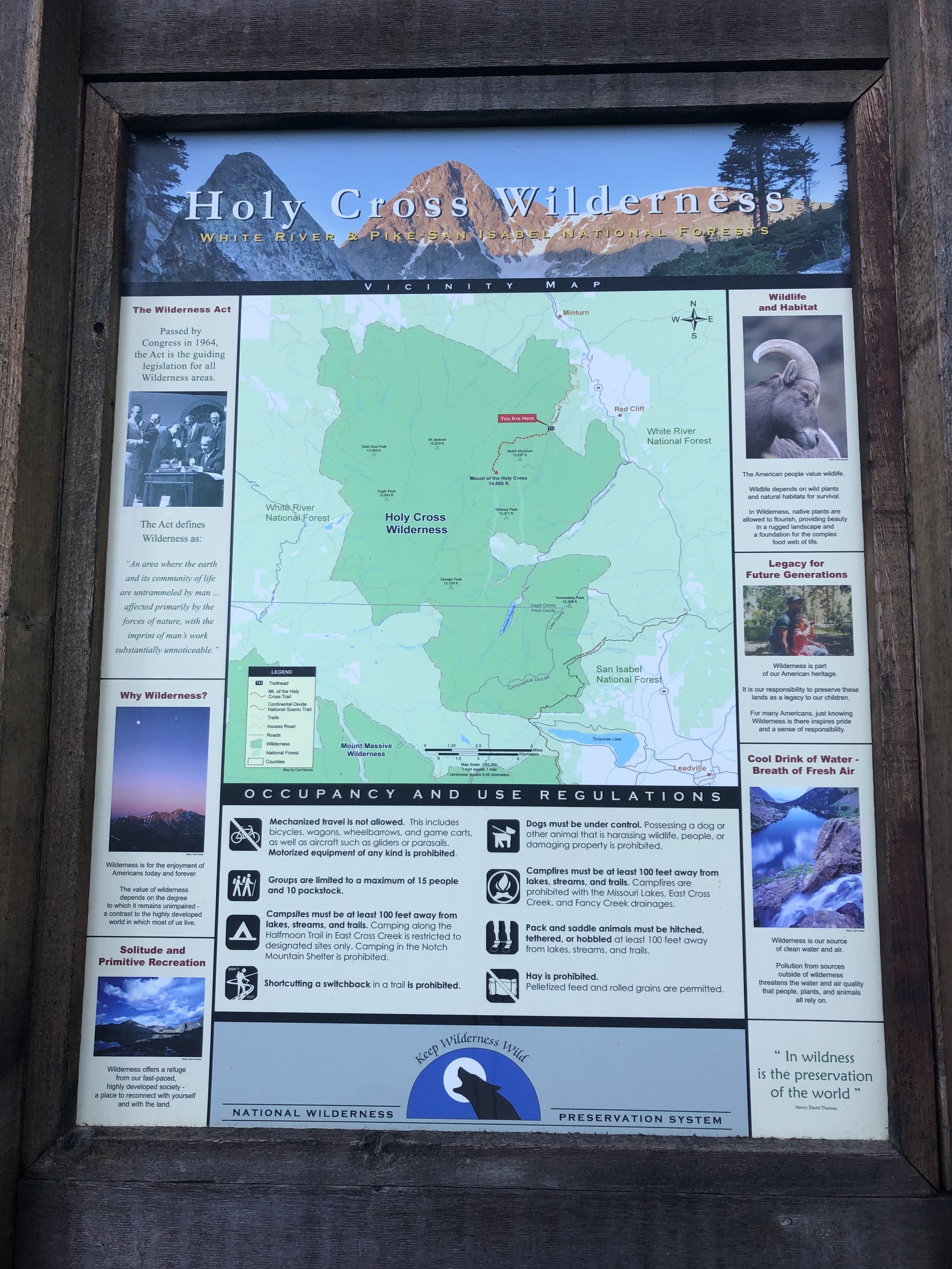
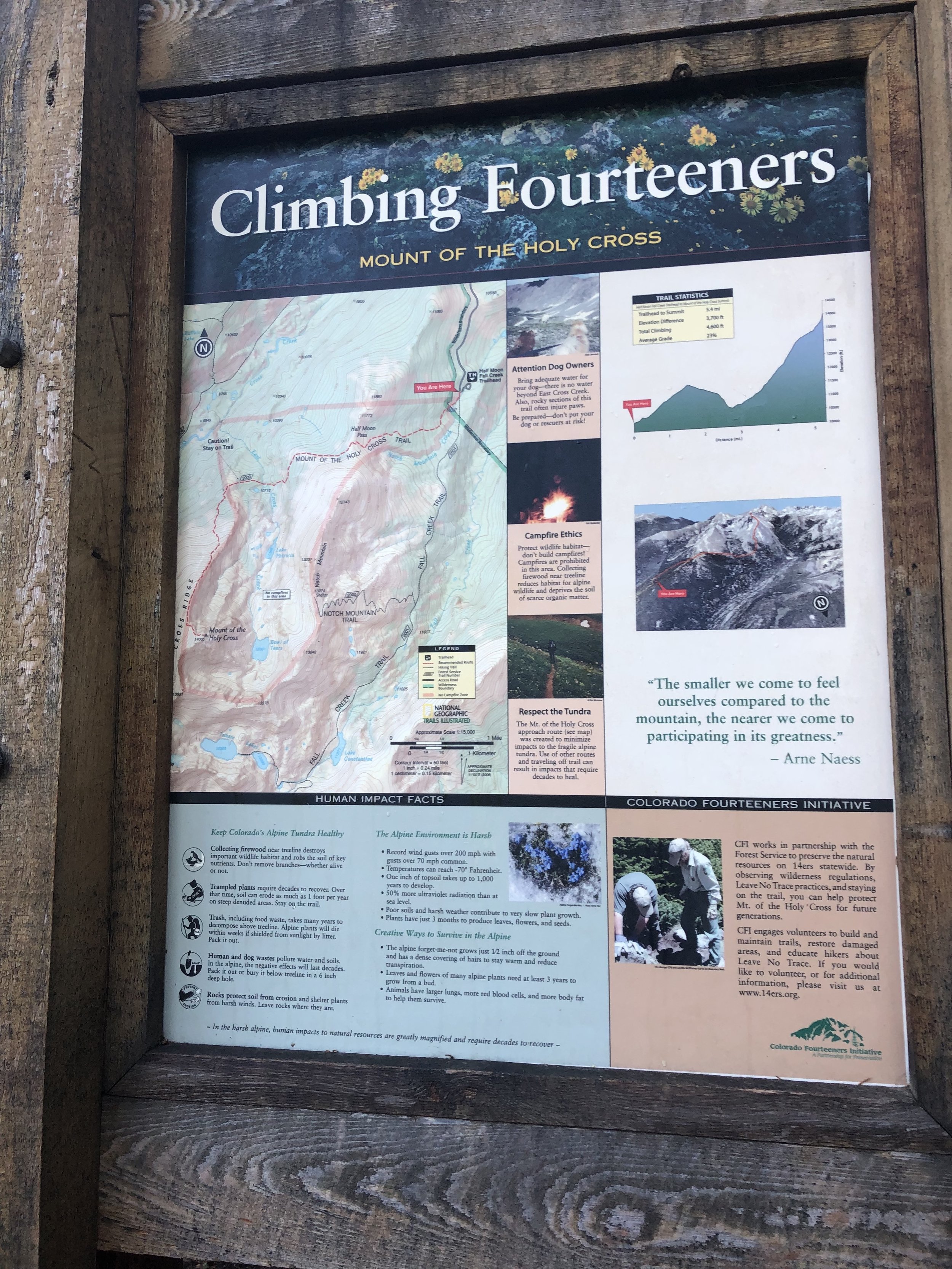
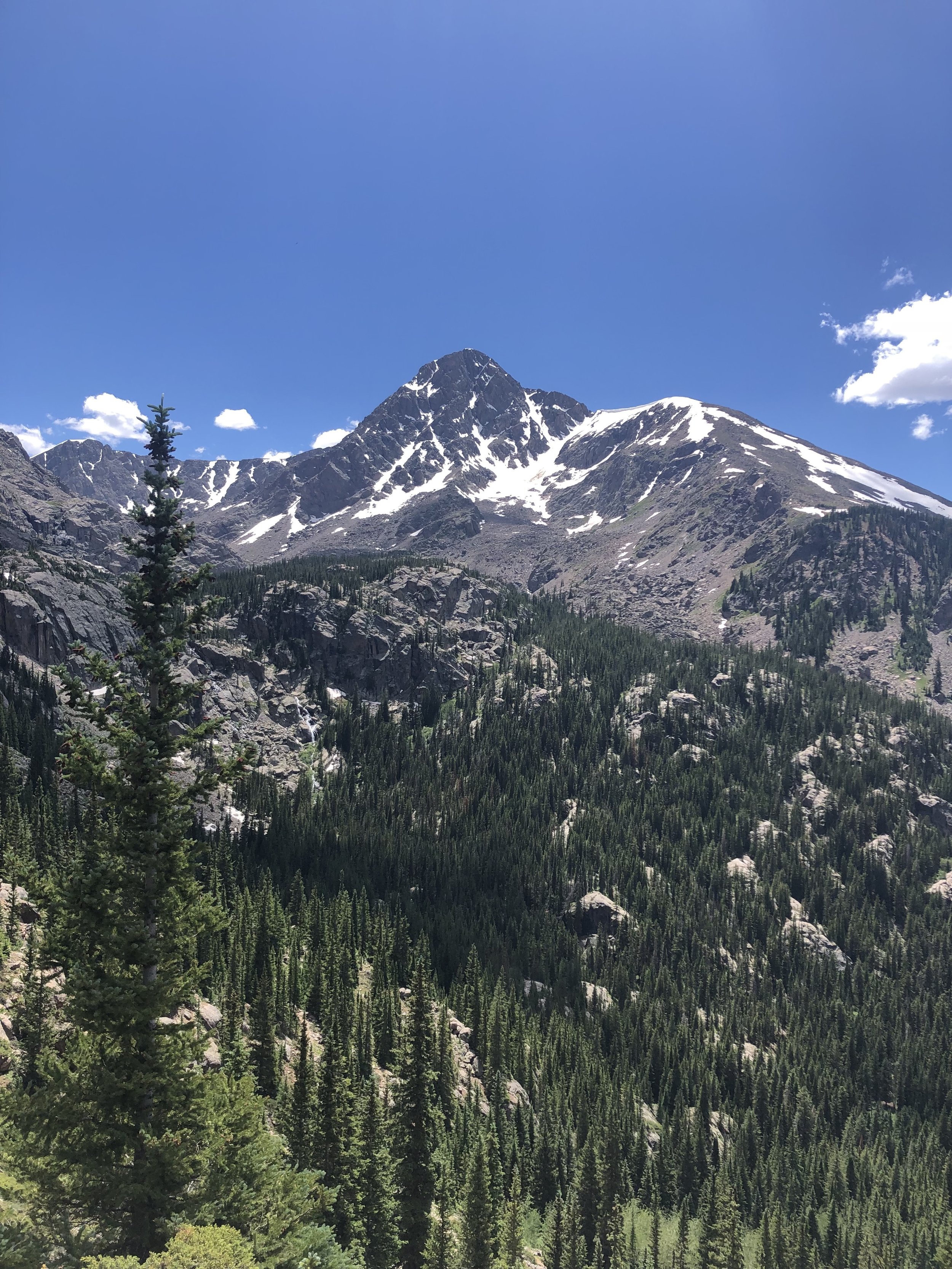
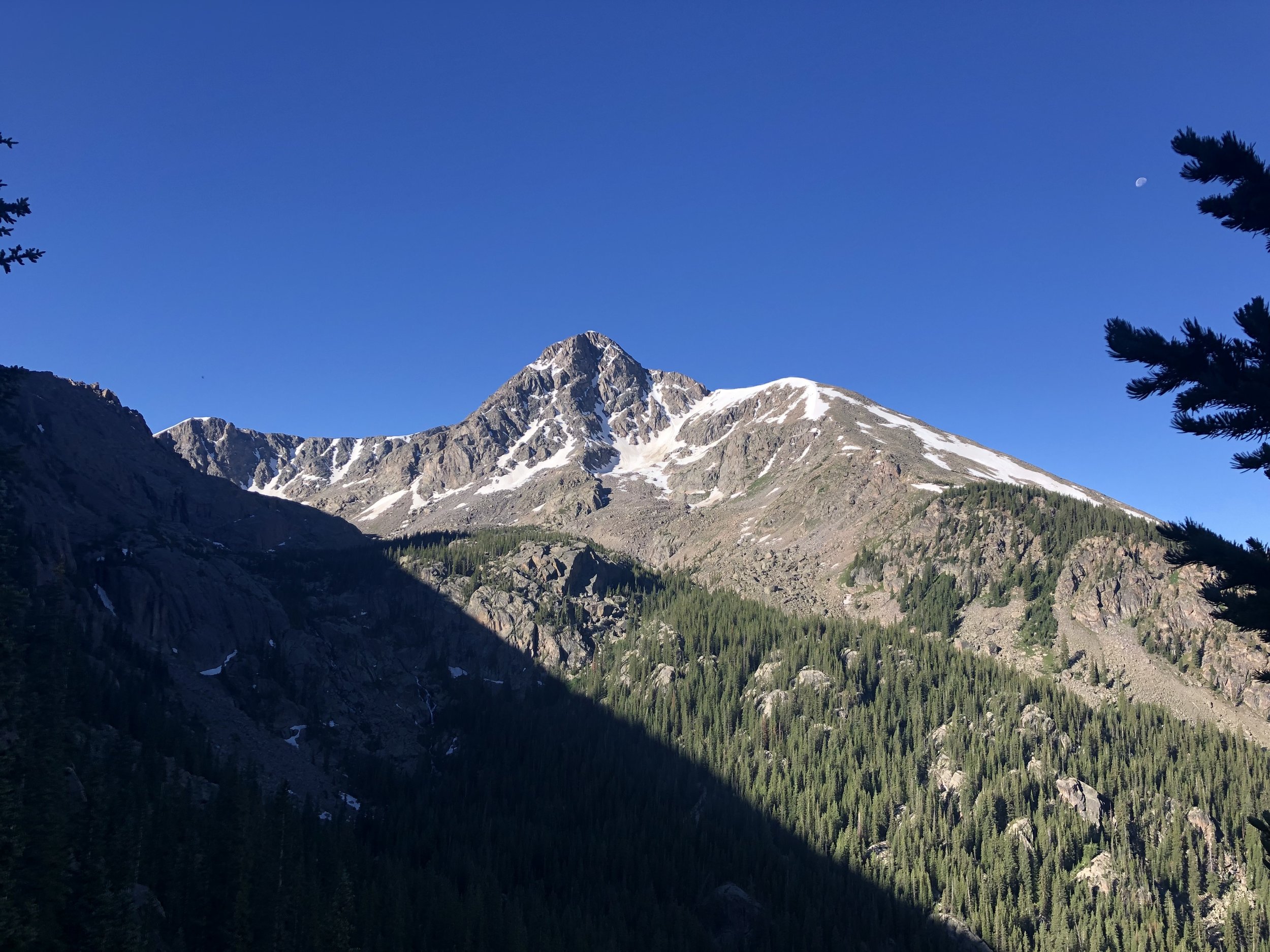
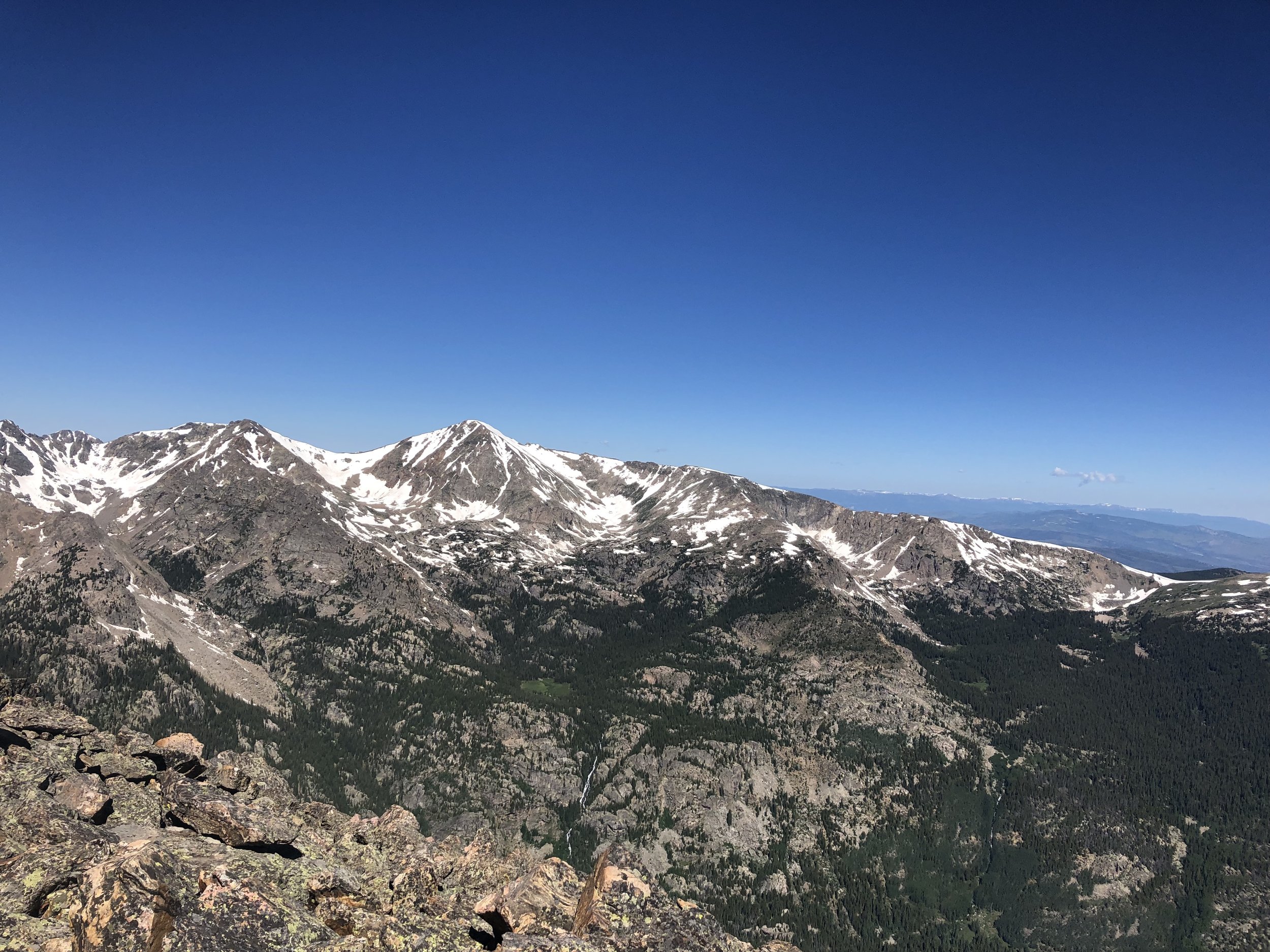
At 7 am, the trailhead was already fairly crowded (but still nothing like Grays Peak and Torreys Peak from the weekend prior). There were probably about 40 cars and we parked about a 2 minute walk away from the bathroom and trailhead information sign. We started just after 7 am and the first part of the hike went by quickly. This was the first hike of the summer that was not just not me and Dennis, so that was a change! The hike starts at over 10,000 ft. elevation and we gradually kept gaining elevation up until about 11,700 ft. elevation. At around this elevation, we begin our ~1,000 ft. descent downwards. Early into this descent, we get the first incredible view of Mt. of the Holy Cross.
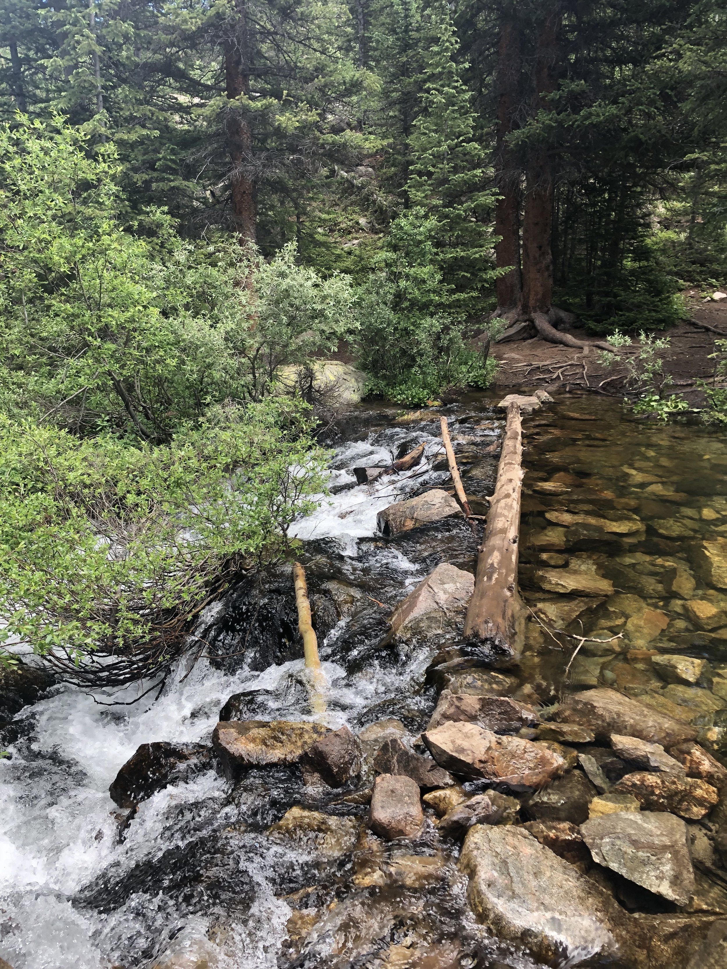
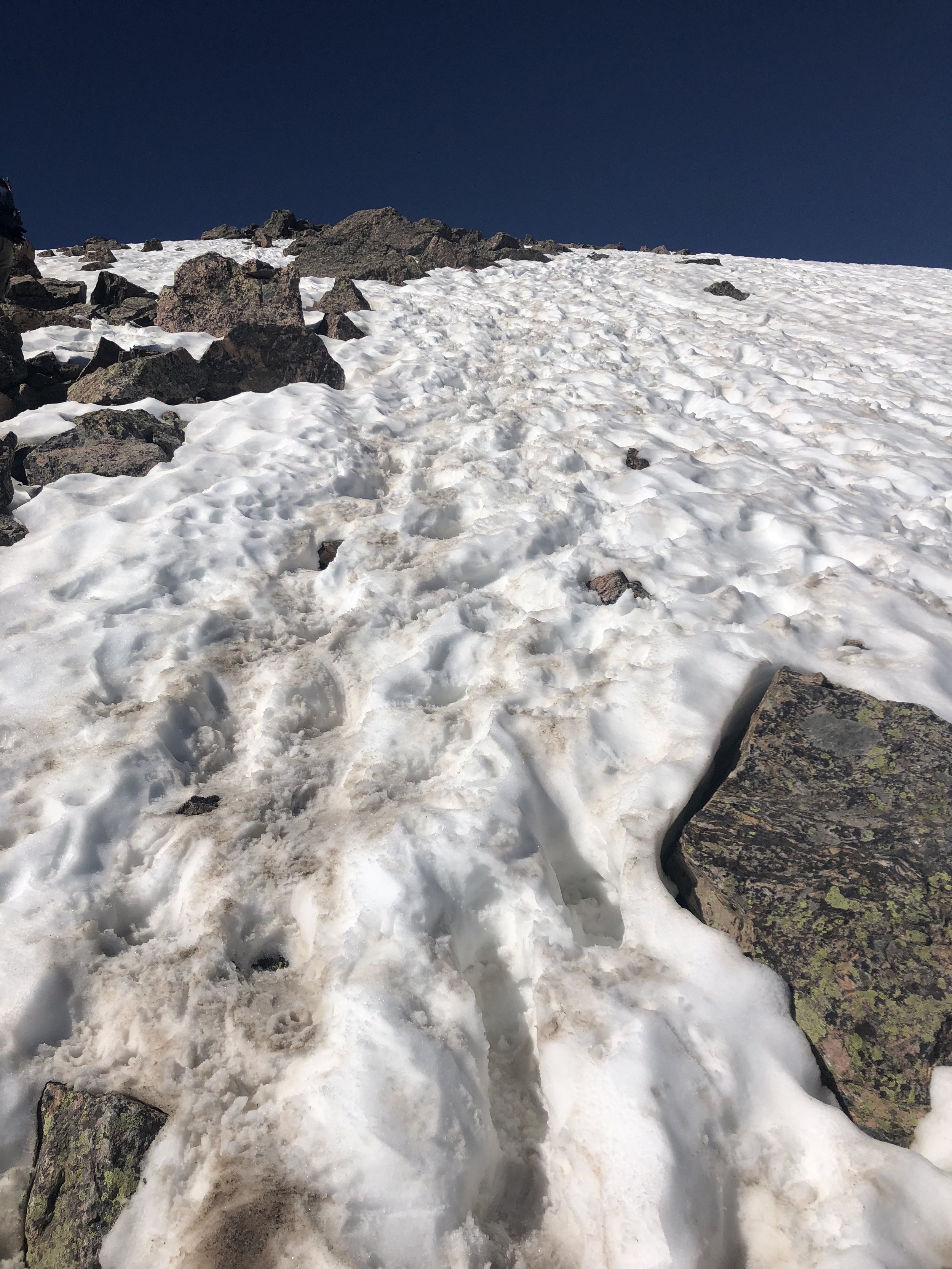
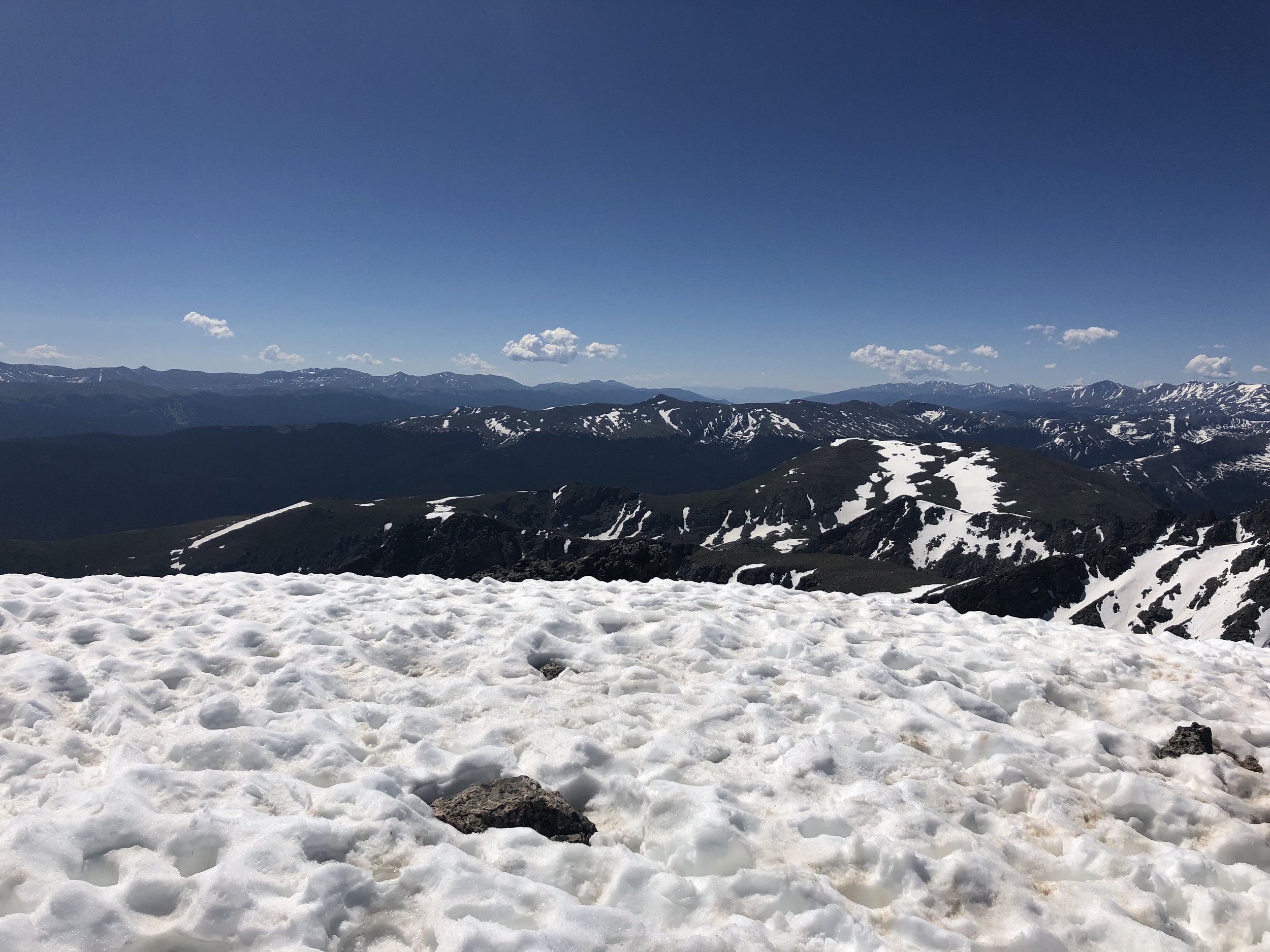
This descent ends at a stream crossing. Hans went ahead and walked through the stream. Dennis went across one log using hiking poles to balance. I followed Dennis’ strategy. After this stream crossing, we took about a 10 minute break to clean up and get ready for the next ~3,400 ft ascent to the summit. So far this summer, I have not ate anything until the summit, but, around 12,000 ft. elevation, I ate some graham crackers. Just before 13,000 ft, we encountered some snowfields. Besides Mt. Bierstadt on the 4th of July, this was the next mountain with the most snow thus far this summer.
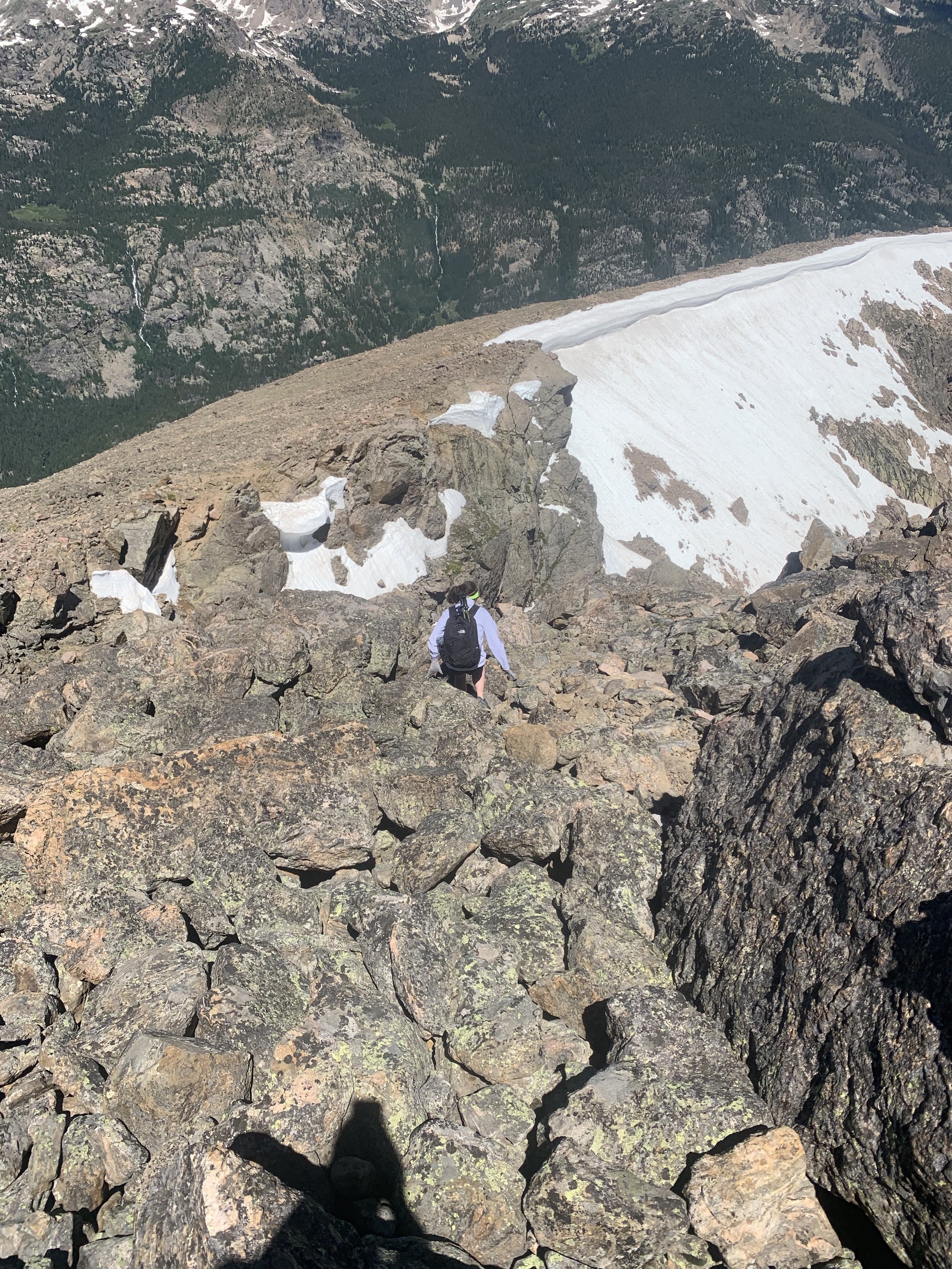
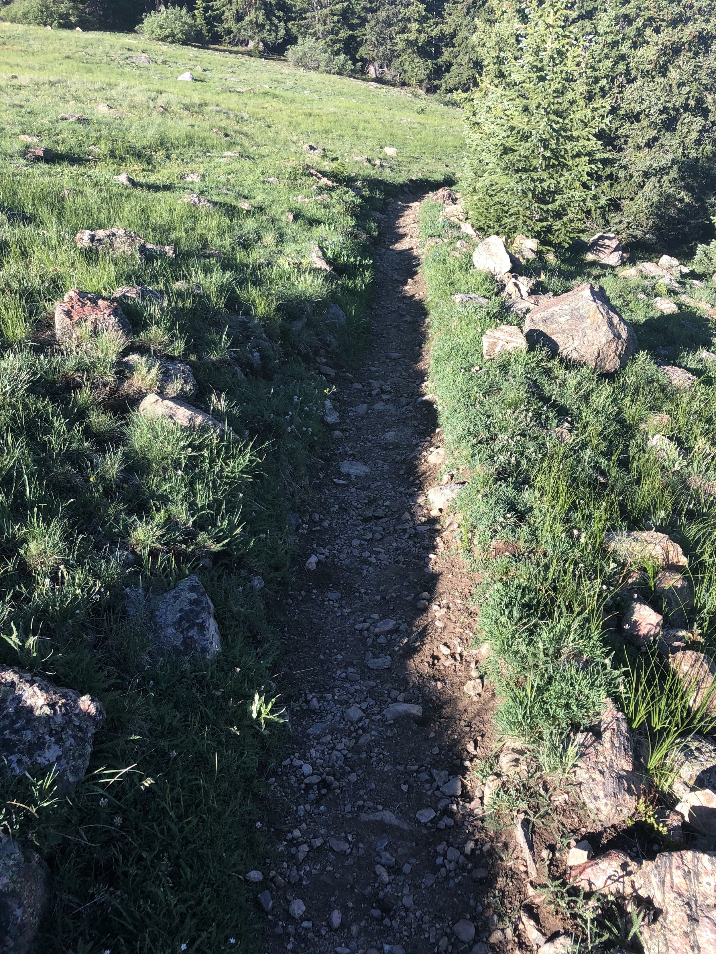
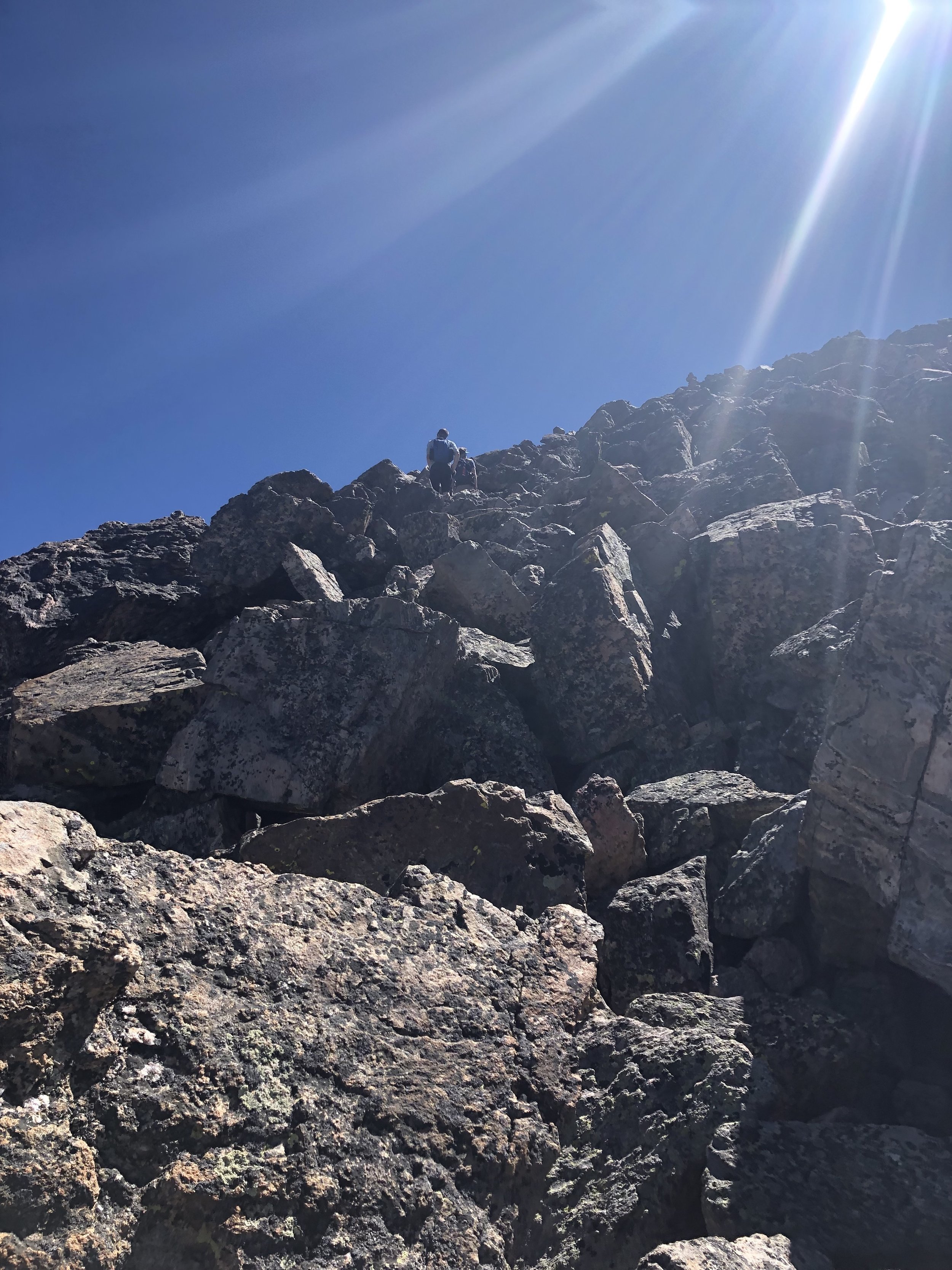
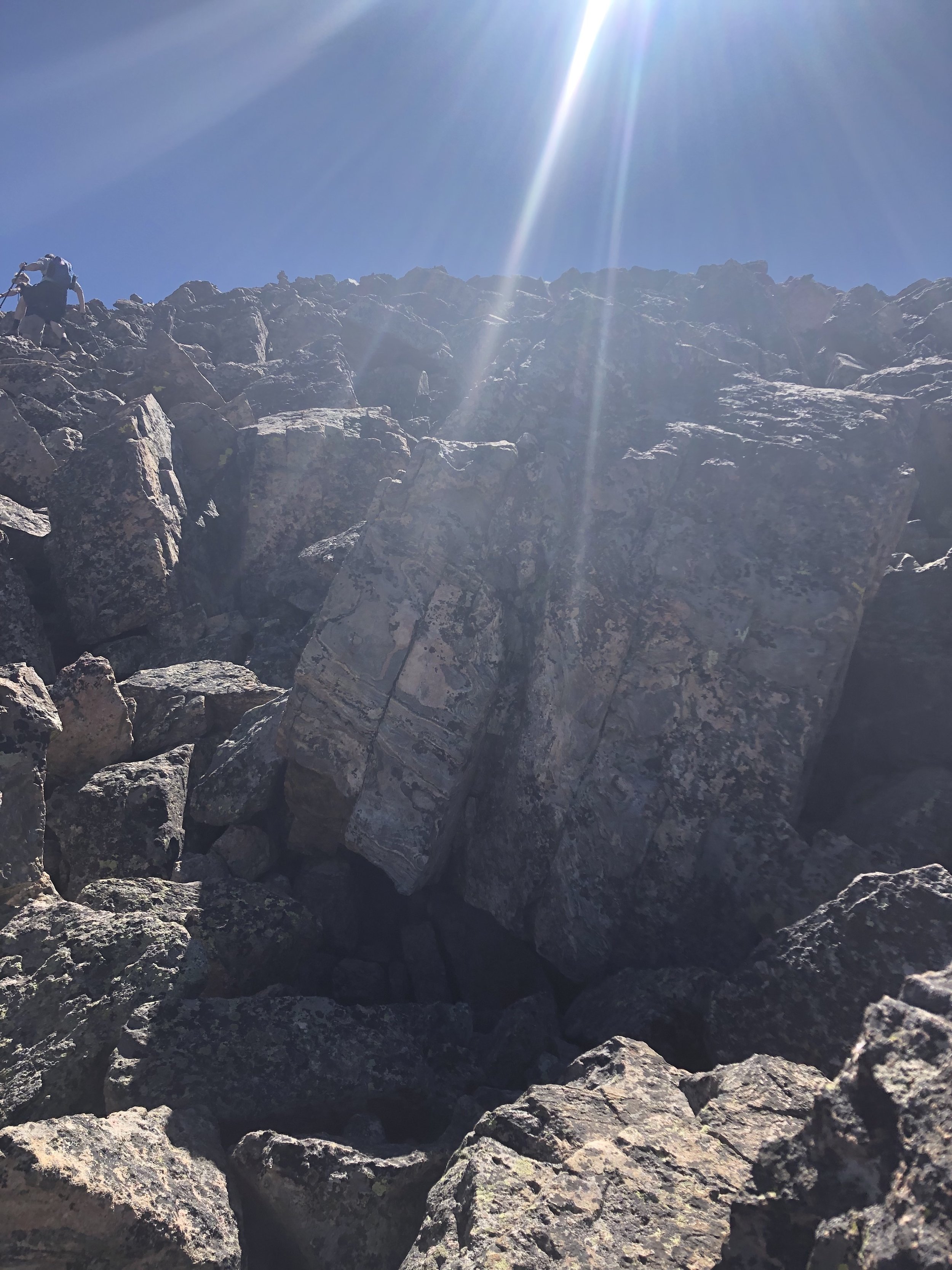
Soon, we get to rocky/talus terrain and just continue on, slowly gaining elevation. I take this part pretty slowly since I don’t want to tweak my foot on the loose rocks. The final 300-400ft ascent was all scrambling up talus and such. We saw some cairns, but there really was not a clearly defined route to the top. Fellow hikers were going up all different ways. This part was a ton of fun because #NoSetTrailLyfe (no shade intended, Grays Peak).
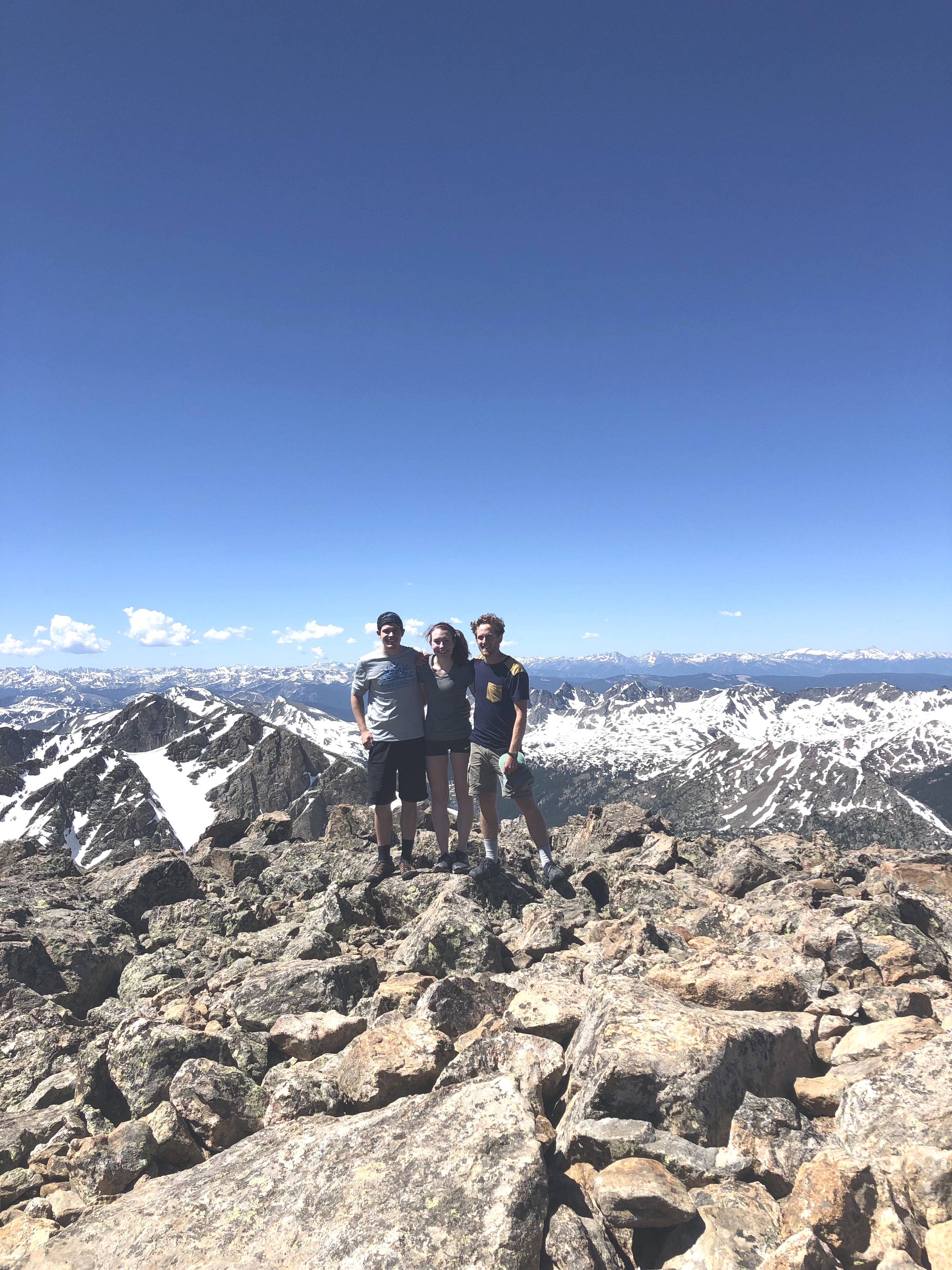
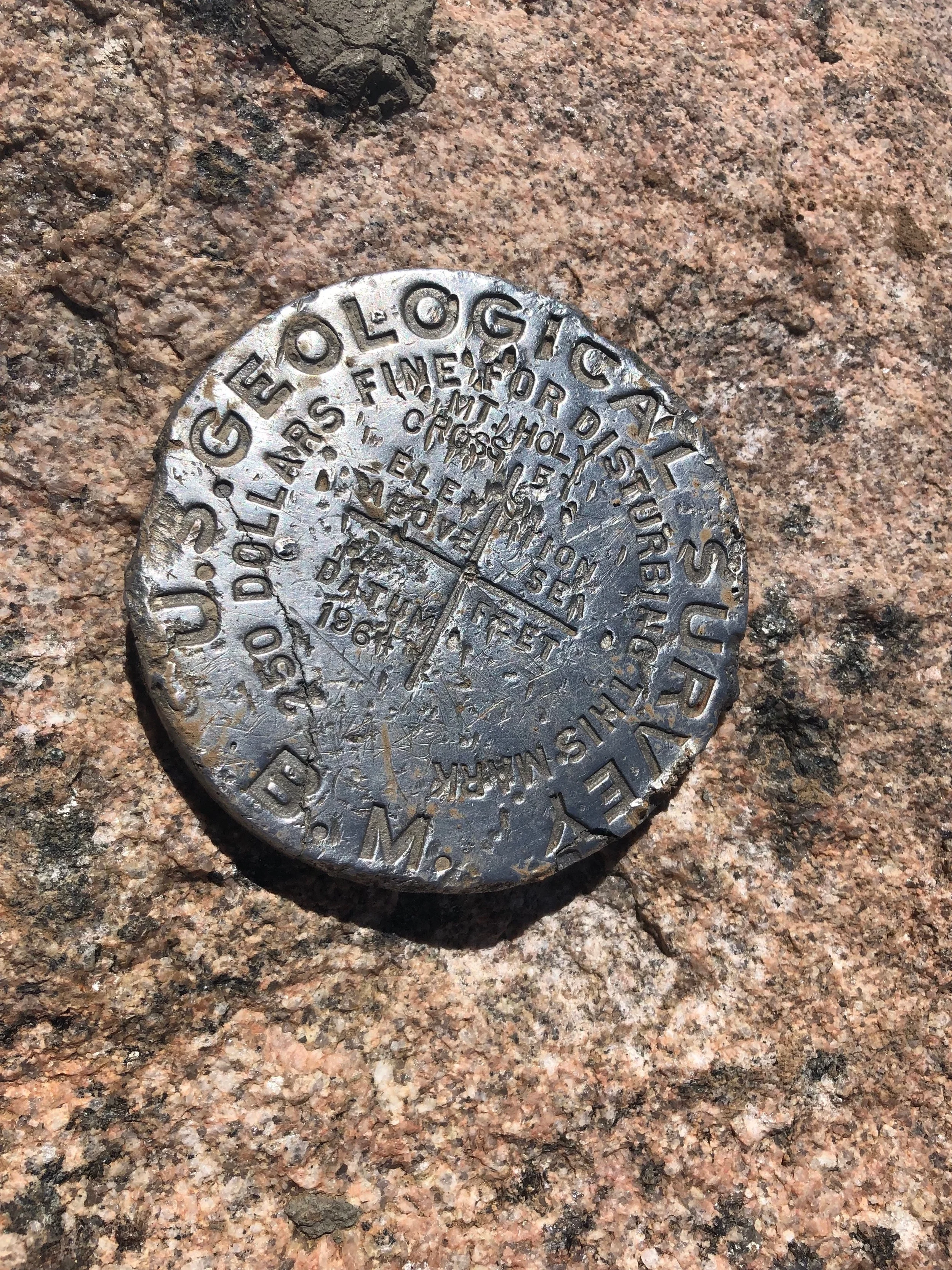
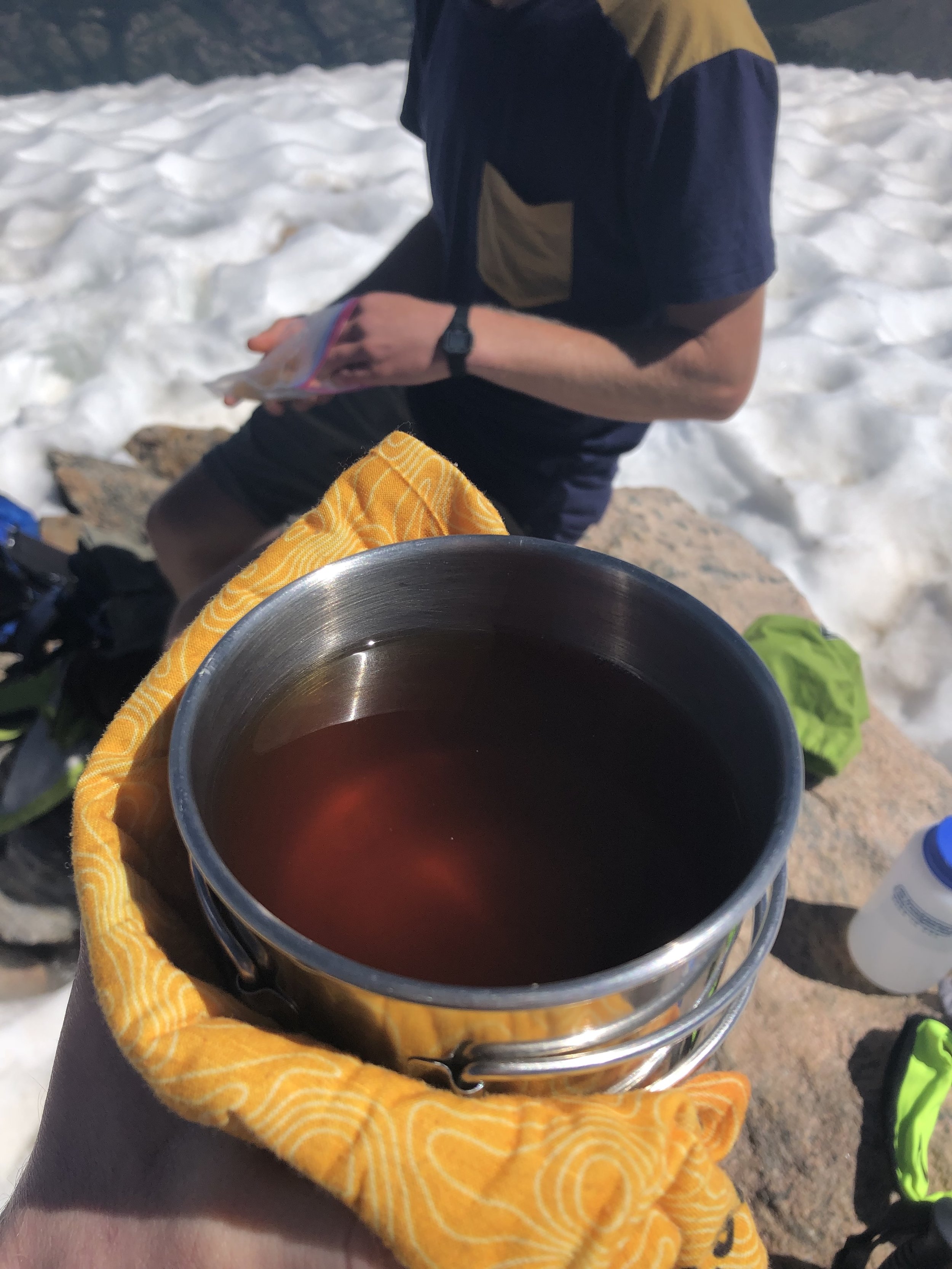
3 hours and 42 minutes after leaving Half Moon trailhead, we reached the summit of Holy Cross! We spent a ton of time on this summit compared to other hikes—52 minutes. I must say that Holy Cross has the best summit views ever. The typical summit events happened—eating trail mix (still addicted) and a Clif protein bar, taking pictures (for memories :’) ), and reapplying sunscreen. The real noteworthy occurrence at the summit was trying tea for the first time IN MY LIFE (I’m literally not joking). Before today, I had never tried any type of tea in my life. Yes, yes, I am from South Carolina and I still have never tried sweet tea. Hans heated up water and made tea for me. How many people can say that their first sip of tea occurred at over 14,000 ft?!? Come join this exclusive club with me—I might be the founder of this club!!!!! If not, hmu.

As usual, but even more so today, I was pretty careful on the first part of the descent until we got past the snowfields. After the snowfields, it was just a steady descent until we got back to the stream crossing where the nearly 1,000 ft. ascent would begin. This ascent was surprisingly not hard at all. In fact, it went by fairly quick. It took us 2 hours and 57 minutes to return to the trailhead. My Garmin had the final stats of the hike as 7 hours and 31 minutes, 11.50 miles, and 5,581 ft. elevation gain.
The route options to return to Colorado Springs would either take us through Leadville/Buena Vista or through Idaho Springs and around the Denver outskirts. These routes were going to take the same amount of time, so we went through Idaho Springs in order to eat at Beau Jo’s Pizza. The traffic on I-70 was so bad that it took an extra hour and 15 minutes to get to Beau Jo’s. We finally ate the first real meal of the day at about 6:30 pm. Needless to say, I was starving. I split a medium Hamburger/Sausage combo mountain pie pizza. We definitely should have gotten a large pizza if I’m being honest, since I was still super hungry. I always have a huge appetite, so I should have known better (smh). On the drive back to the Springs, the most epic lightning show (storm) was happening. I was driving, so I don’t have any pictures, but it was literally so cool to watch. Finally, we got back to Colorado Springs at 9:15 pm to cap off another 14er weekend. I was pretty tired.