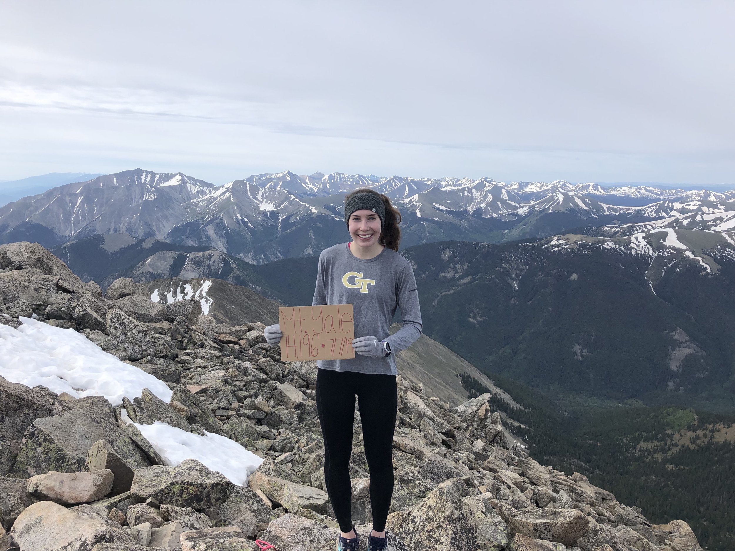
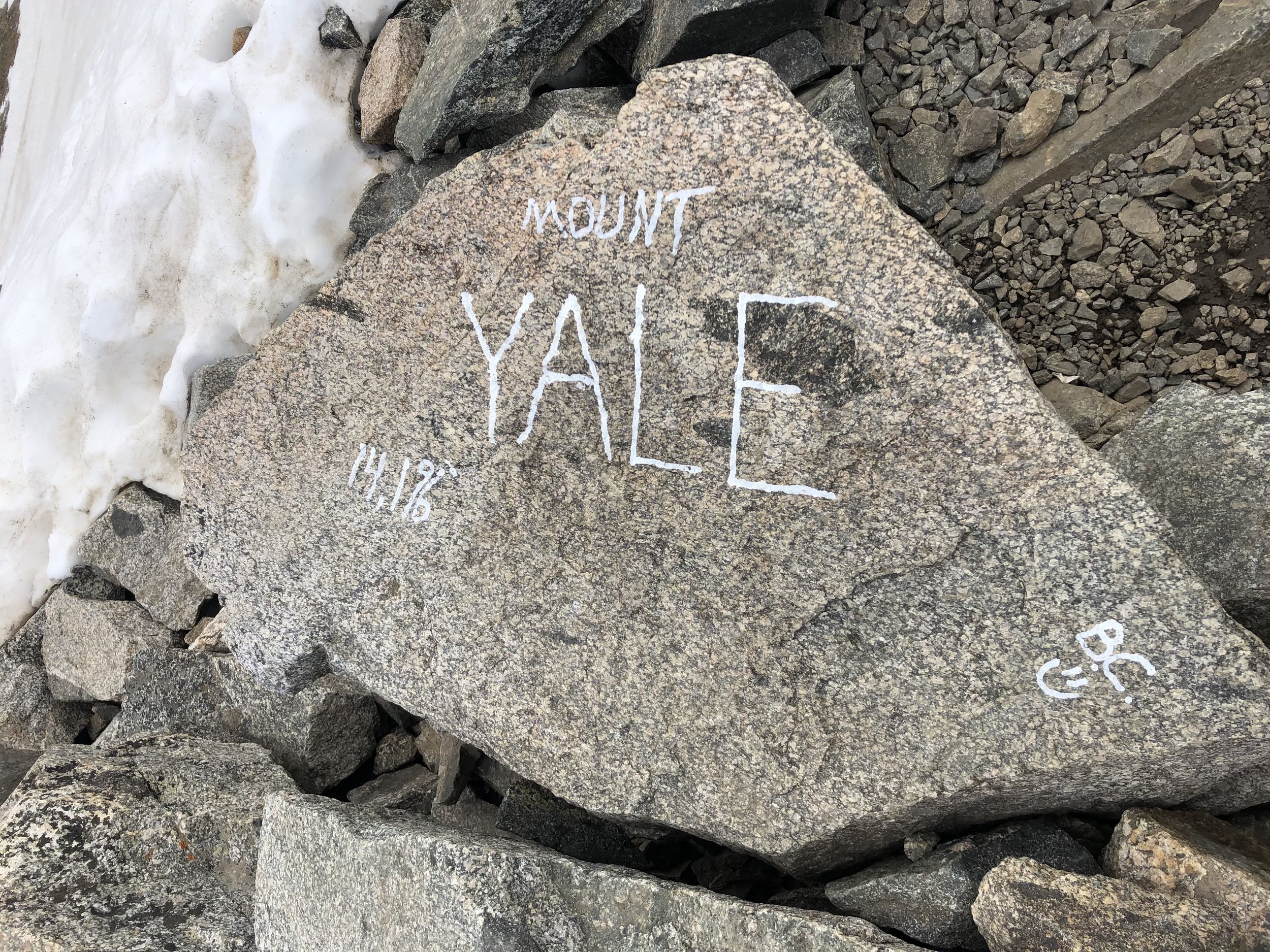
Mt. Yale
July 7, 2019 / 14,196’
RT STATS: total time - 5 HR & 33 MIN, 9.38 MILES, AND 4,230’ ELEVATION GAIN
TIME STATS: 2 HR & 55 MIN TO SUMMIT, 20 MIN AT SUMMIT, 2 HR & 18 MIN BACK TO TRAILHEAD
RATING (HOW MUCH I LIKED THE HIKE): 8/10
Mount Yale called for another 3am wake-up call. Similar to Mt. Bierstadt 3 days earlier, my hiking buddy Dennis arrived at my apartment at 3:30am and we set off to Buena Vista. We arrived to the Denny Creek trailhead at approximately 5:50am and there were about 10 other cars already there. We started our hike at 5:59am (ya know, I need to be exact).
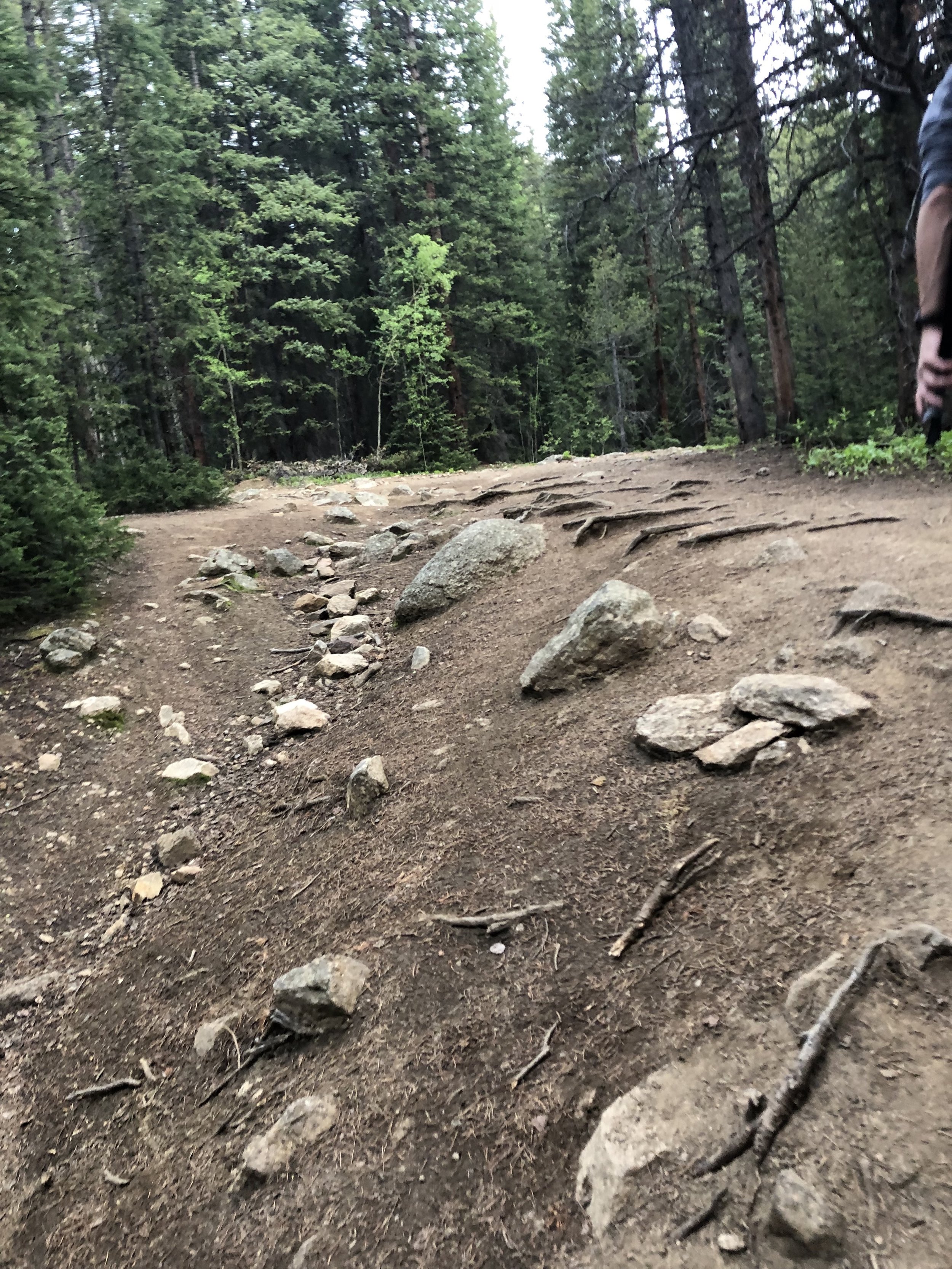
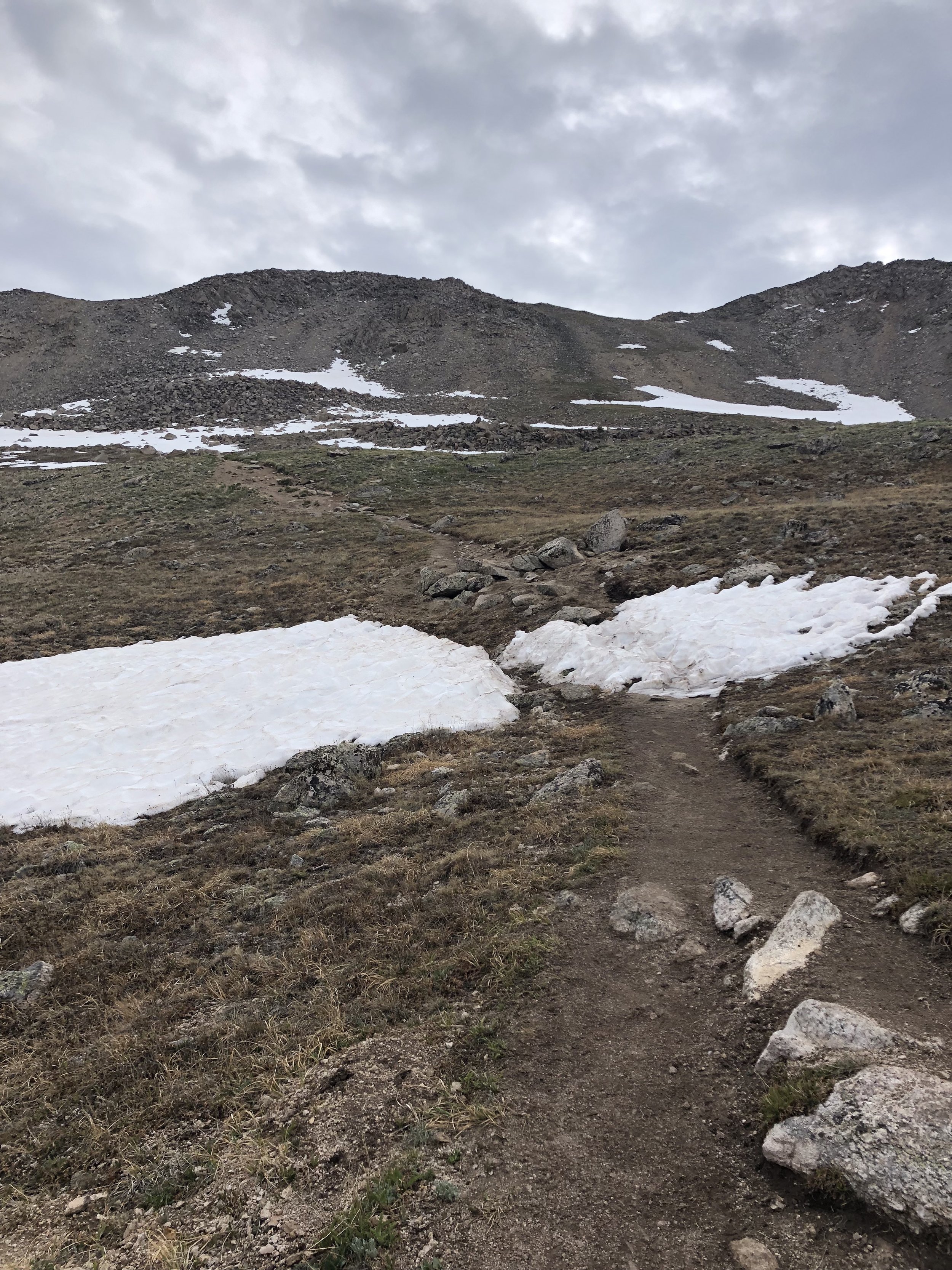
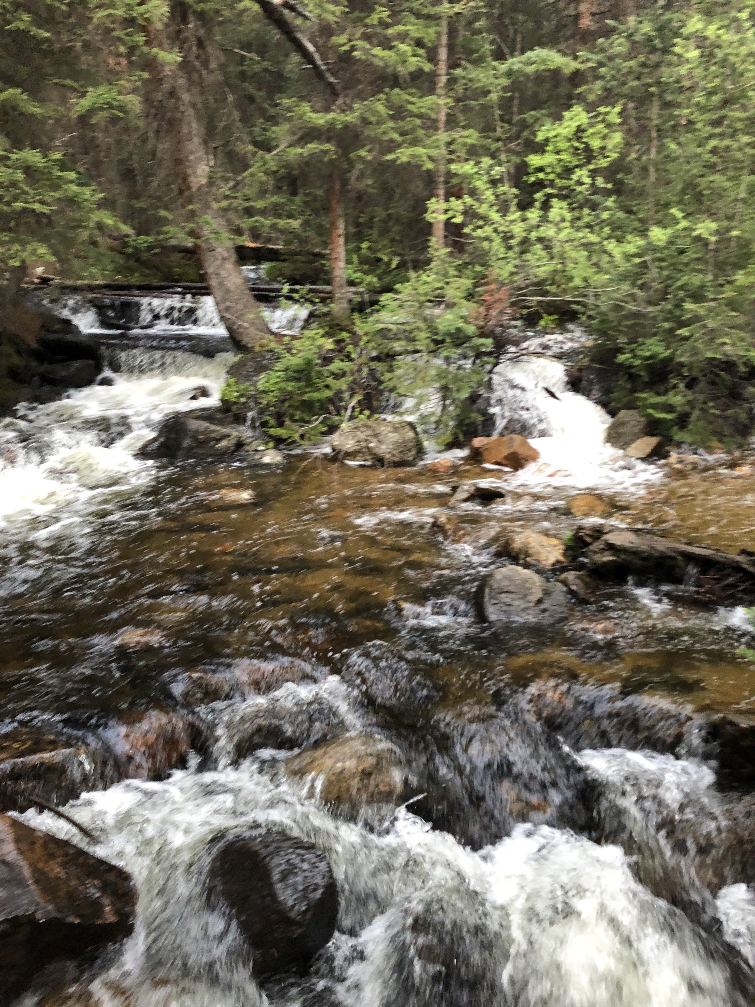
The first part of the hike was much different than that of Mt. Bierstadt. The Bierstadt trailhead was already above treeline; however, for Yale, we didn’t get above treeline until the elevation was a little over 12,000 ft. It was definitely a nice change compared to Bierstadt. The real fun started above treeline in terms of difficulty. There were smaller and much less snowfields on Yale than on Bierstadt. I had my hiking poles, but they definitely were not necessary. I took one epic post hole where my shoe got kind of stuck. I was almost near the end of the snowfield, so we got it out and I exited the snowfield (less than 10 steps) with one shoe on before I emptied all of the snow out of my shoe and put it back on. It was kind of funny, but a lil scary because it was my left foot that had been fractured and my PT did tell me to avoid snow. Soooooo, good thing nothing happened.
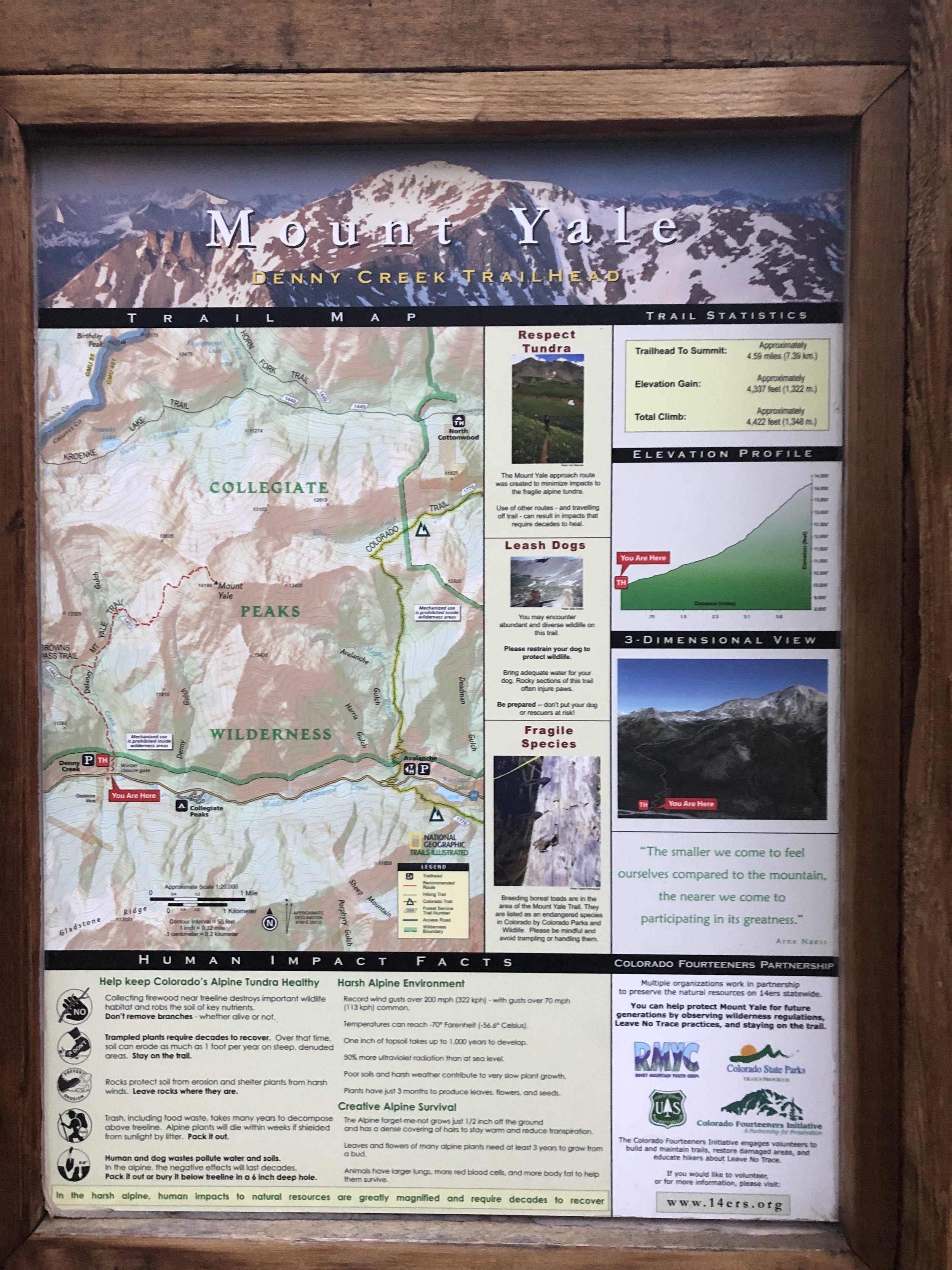
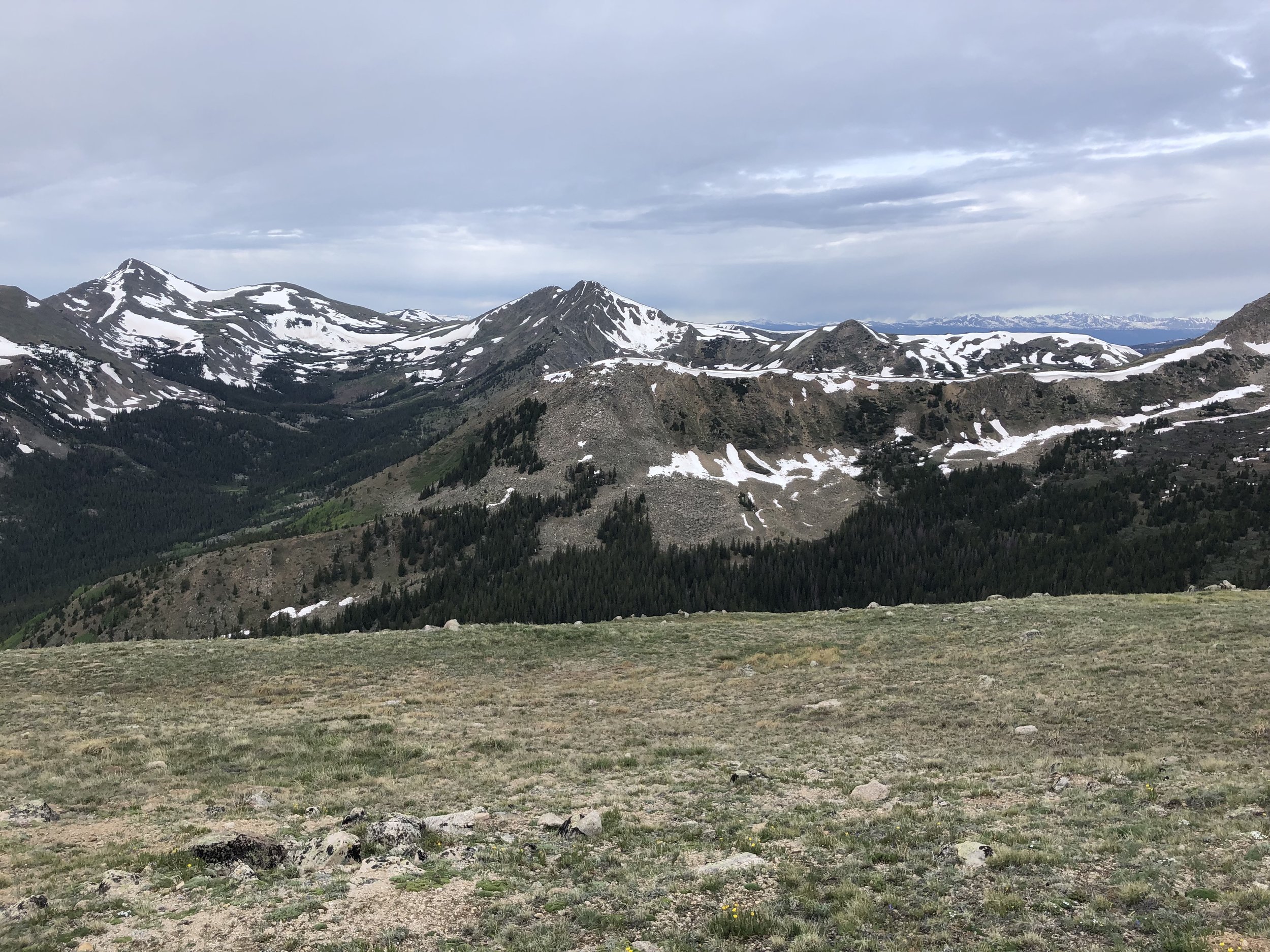
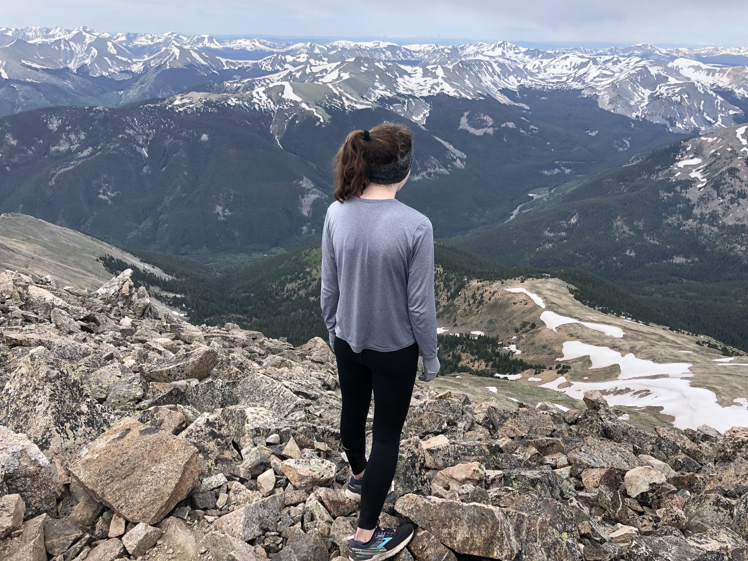
The switchbacks were pretty tough. It got to a point that I would need to take a mini (30 second) break after a few minutes of hiking up the switchbacks. It was quite humbling, since I was in the best aerobic shape in my life a little over 4 months earlier. In fairness, we were hiking at a (relatively) good pace and were going pretty fast when we were below treeline. At this time, I also was looking at my Garmin Forerunner 230 at almost every mini break. It was amusing seeing the elevation continue to dramatically increase. After the many switchbacks, we reached the false summit. The views were pretty cool and we had about 300 ft. of elevation gain left to go along with scrambling. To be honest, I was kind of sad because the scrambling was not as intense or fun as that of Bierstadt (lame).
Very soon (2 hours and 55 minutes after leaving the trailhead), we reached the summit and were 14,196 feet above sea level! There were maybe 5 other people at the summit when we arrived. Of course, we took some pictures with and without the cardboard sign that I made. The night before, my roommate Danae and I actually went to Target to buy a big cardboard box and some Sharpies so I could make signs for future hikes. It was a well spent $8. This time, I actually ate something during the hike - my homemade trail mix!! I love mixed nuts (literally eat them all of the time rip), but it is my least favorite ingredient in this trail mix (because m&m’s and granola clusters are amazing). We spent 20 minutes on the top before starting our descent.
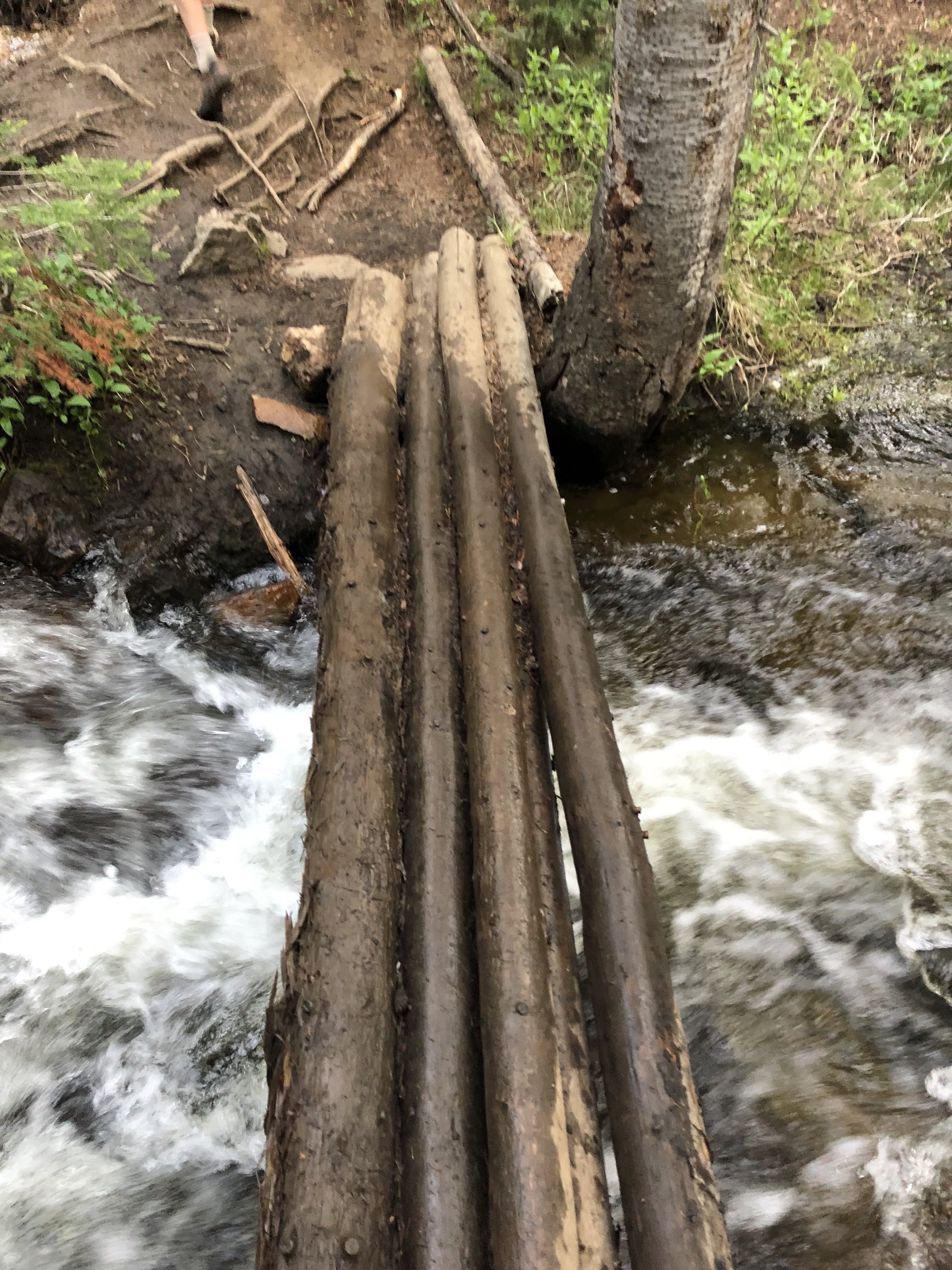
Until we got below treeline, we were going slow on the descent. My balance naturally isn’t the best and add in the fact of dealing with the complications from a fractured foot/crutches (muscle atrophy ftw), so it was didn't pick up much until we were just about below treeline. I fell once (maybe twice, I forget, but let’s just say once) on these steep parts, but that’s whatever. Side note, I always have hiked with leggings and at least a long sleeve shirt on, but maybe that will change on the next hike because I was getting hot on the way down. One thing I notice on the way down is that I have already ruined my new pair of Brooks running shoes. I literally paid $150 for these new shoes and the first day I wore them was on 4th of July for Mt. Bierstadt. Not only are they super muddy and stained looking from the stream crossings early on, but the front of the right shoe looks extremely wack. The purple fabric on the outside is gone and, although there is no hole yet in the toe area, it would not surprise me if there is a complete hole by the next hike.
I was wearing a Georgia Tech shirt and, on the way down, I met a lady who graduated from Tech so I talked to her for about 5 minutes. 2 hours and 18 minutes after leaving the summit (and 5 hours and 33 minutes after leaving the trailhead to begin), we finished with my Garmin clocking the hike at 9.38 miles.
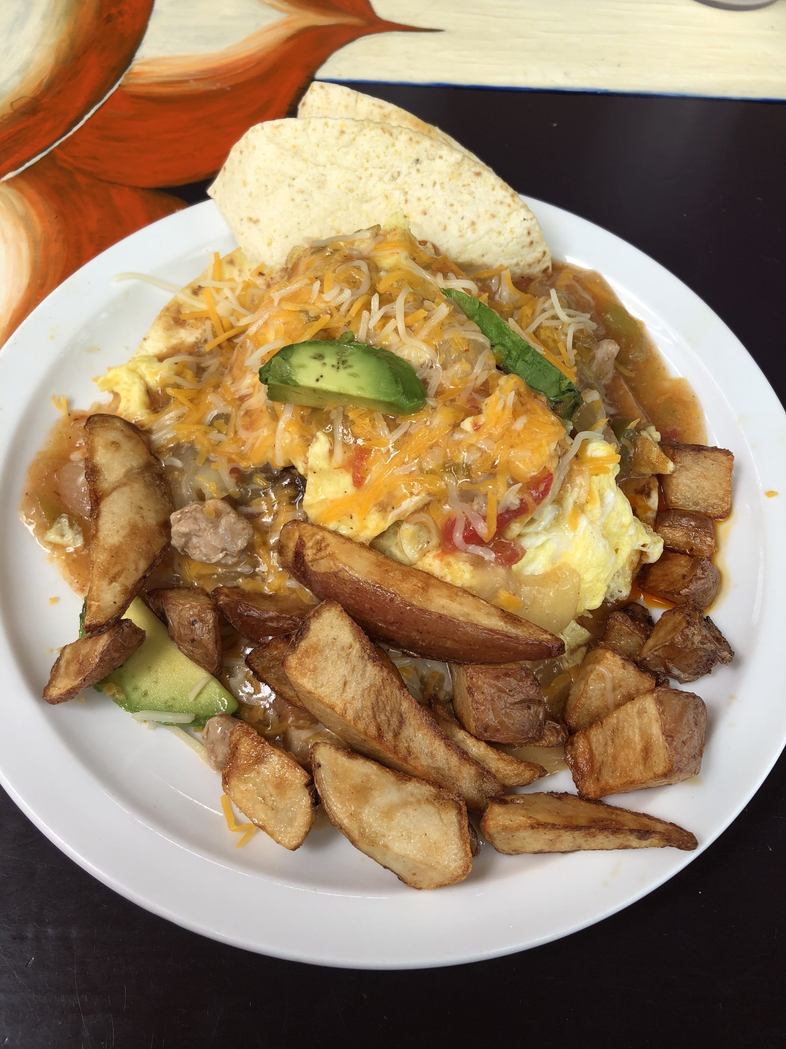
Of course, we were super hungry, so, once my phone had service again, I went on Yelp to find a food place in Buena Vista. Our destination was a brunch place called Evergreen Cafe. Aside from waiting like 20 minutes to order, it was a good choice. I ordered Huevos Rancheros and added pulled pork. I thought it was super amazing, but it also might have been because I was super hungry. After brunch, we headed back to Colorado Springs and got back around 3 pm. Another successful hike in the books and my 9th 14er!