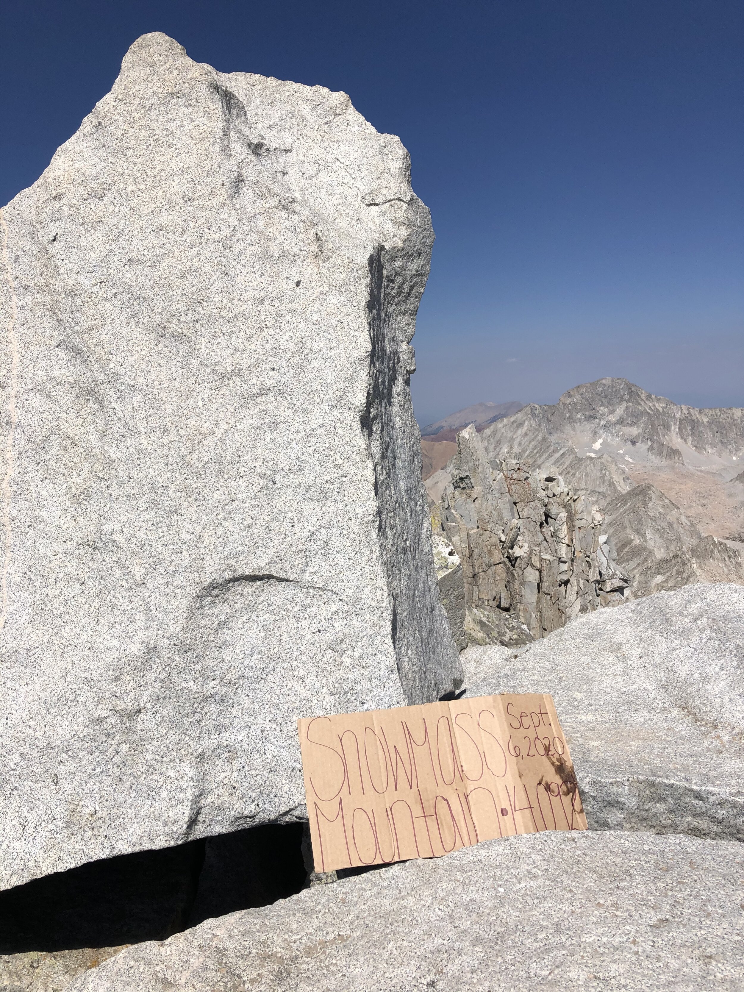
Snowmass Mountain
September 6, 2020 / 14,092’
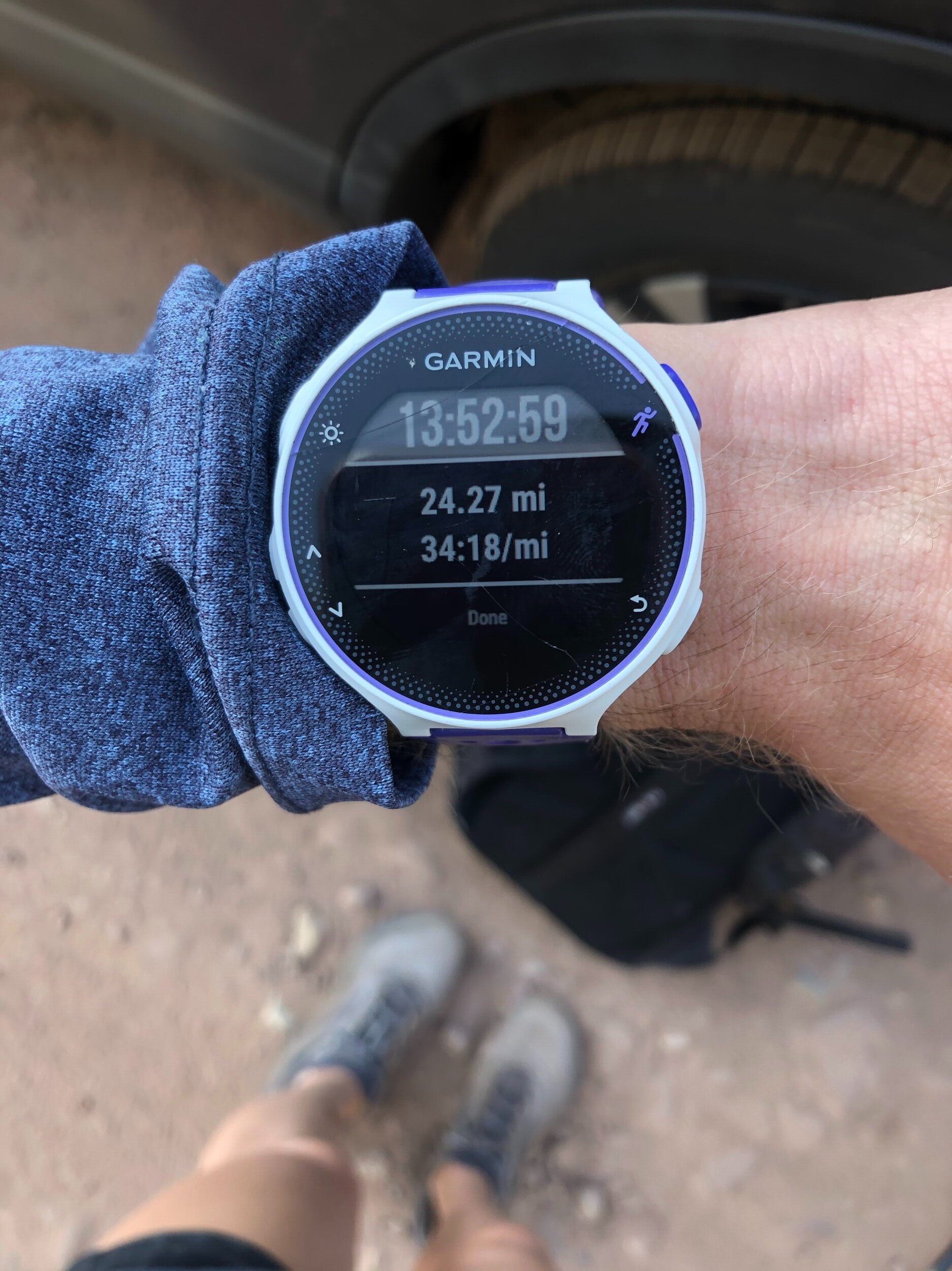
RT STATS: TOTAL TIME - 13 HR & 53 MIN, 24.27 MILES, AND 5,872’ ELEVATION GAIN
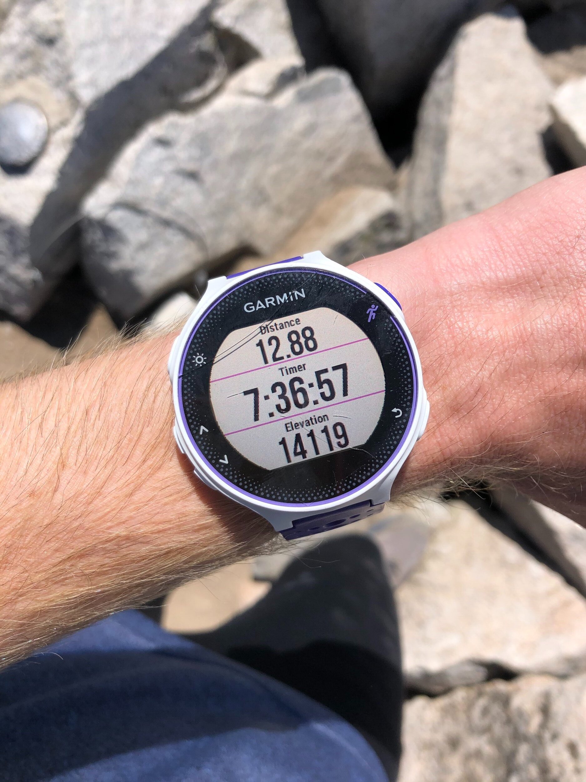
TIME STATS: 7 HR & 36 MIN TO SUMMIT, 35 MIN AT SUMMIT, 5 HR & 42 MIN BACK TO TH/car
RATING (HOW MUCH I LIKED THE HIKE): 8/10
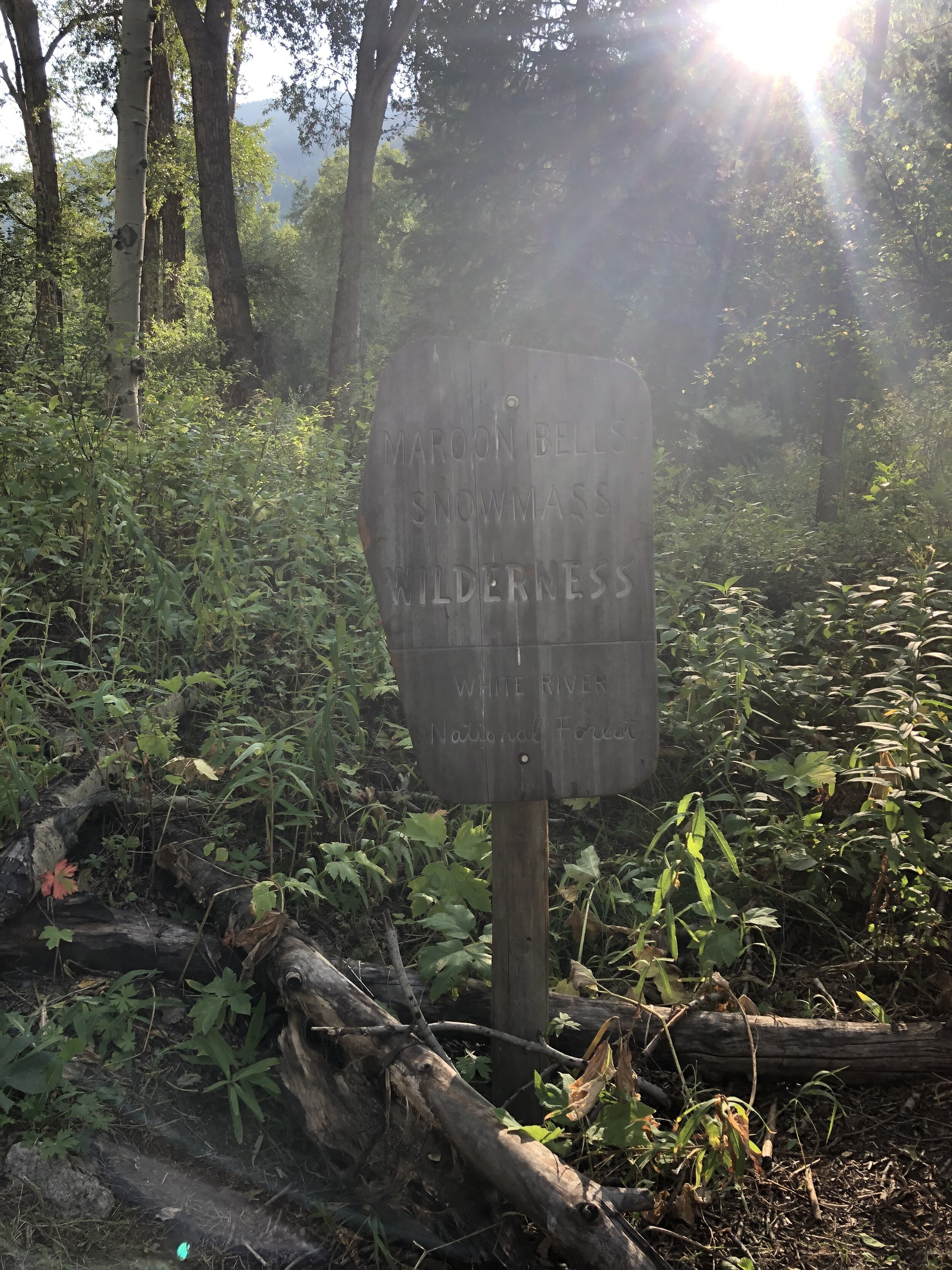
SNOWMASS MOUNTAIN….my 44th 14er, another solo one, and third (out of 7) 14er in the Elk Range! This was quite a long day…in fact, it officially is my longest time out hiking/climbing ever (barely beating Crestone Needle coming in at second and Crestone Peak coming at third for the longest time out). I actually wasted at least 30 minutes at the very beginning of the hike because I was confused on the route/trail (more on this later…). That is why this hike is a couple miles longer than the 22 mile standard route length listed on the 14ers.com website. Anyways, I drove up to Carbondale the day before where I got a room in an airbnb (I don’t camp….not interested in that). On the way into Carbondale, I stopped at a Qdoba in Glenwood Springs and then stopped at a grocery store in Carbondale to buy a lot of bananas, apples, and greek yogurts. I got to the airbnb, ate my Qdoba, a greek yogurt, and an apple, and then I basically went to sleep.
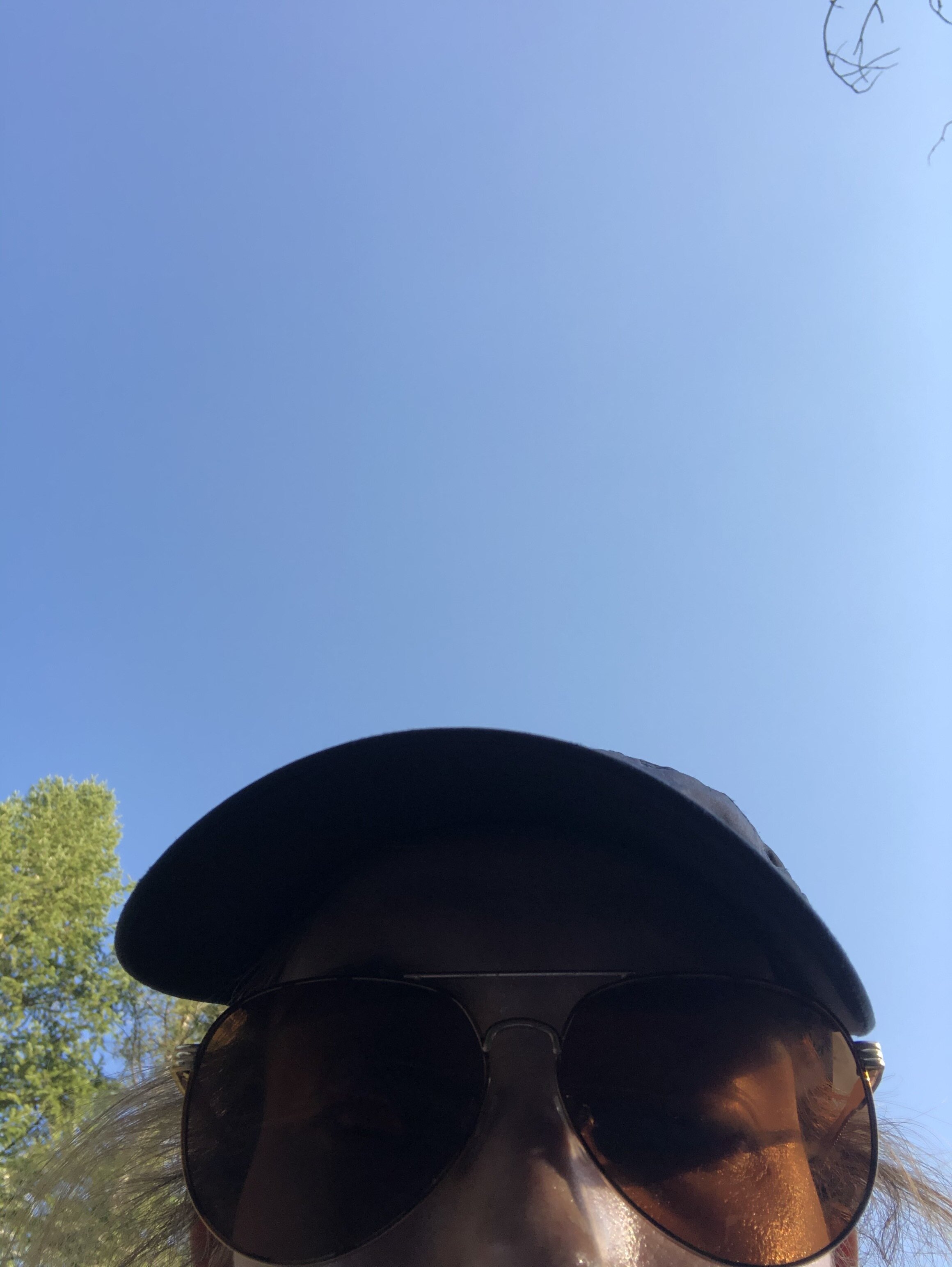
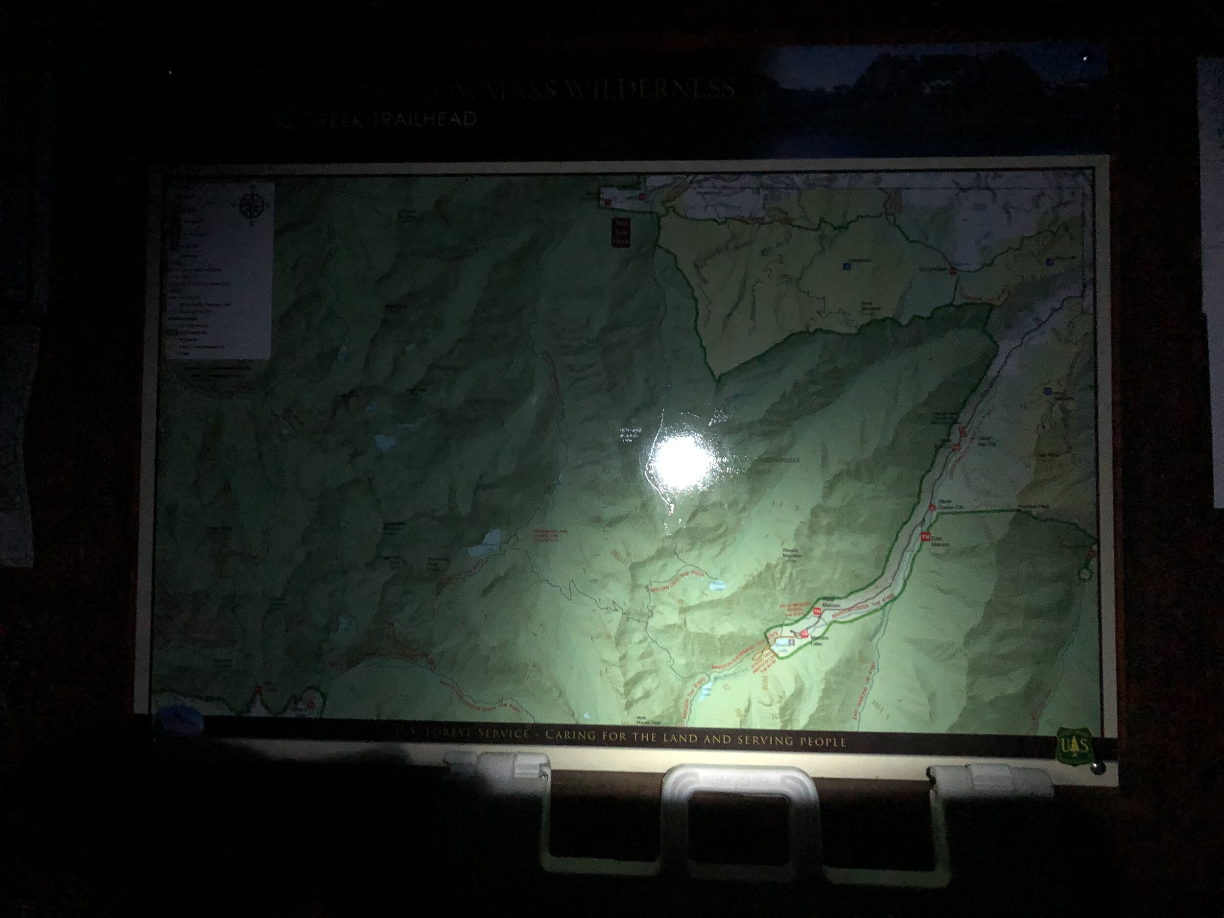
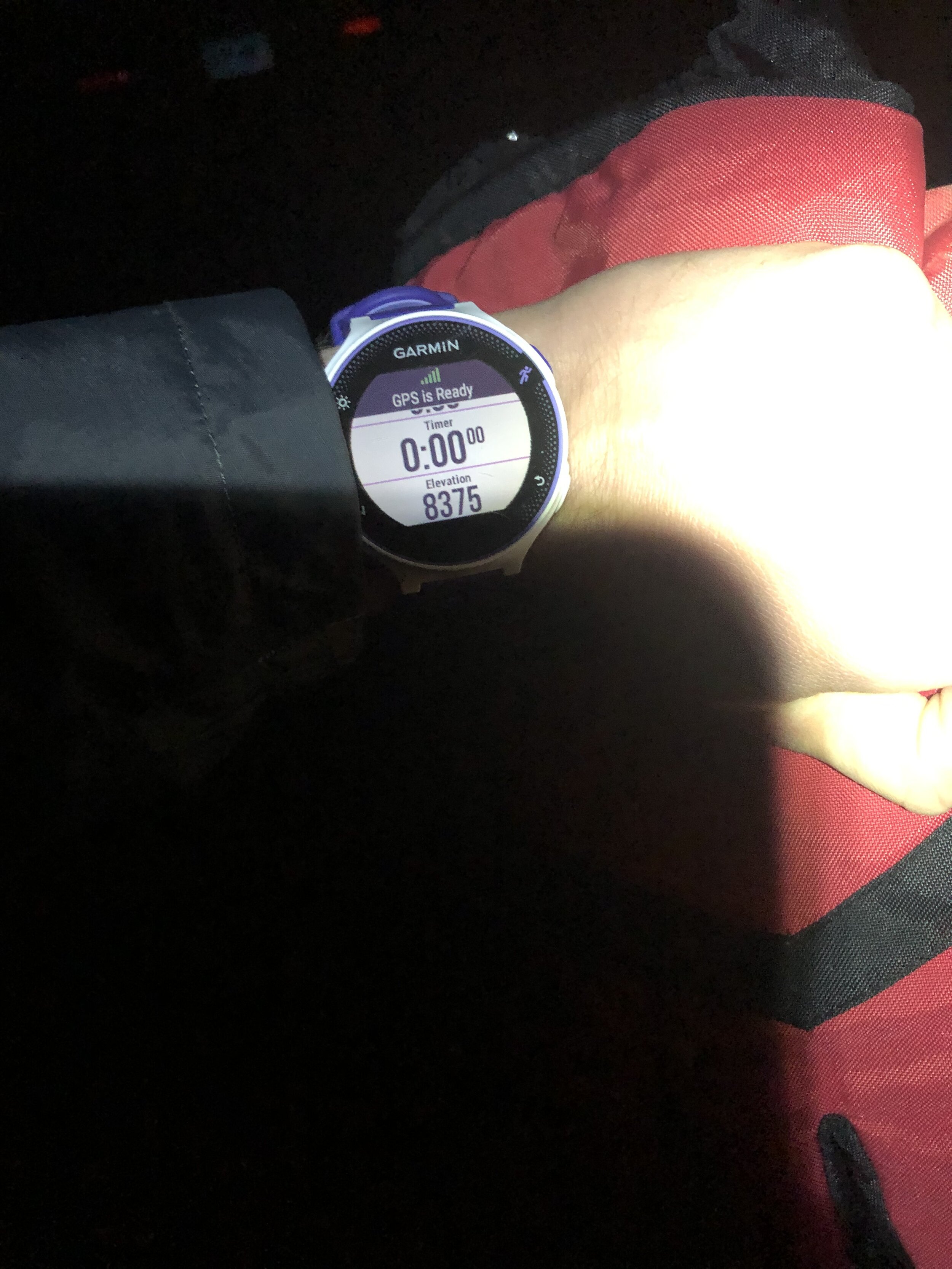
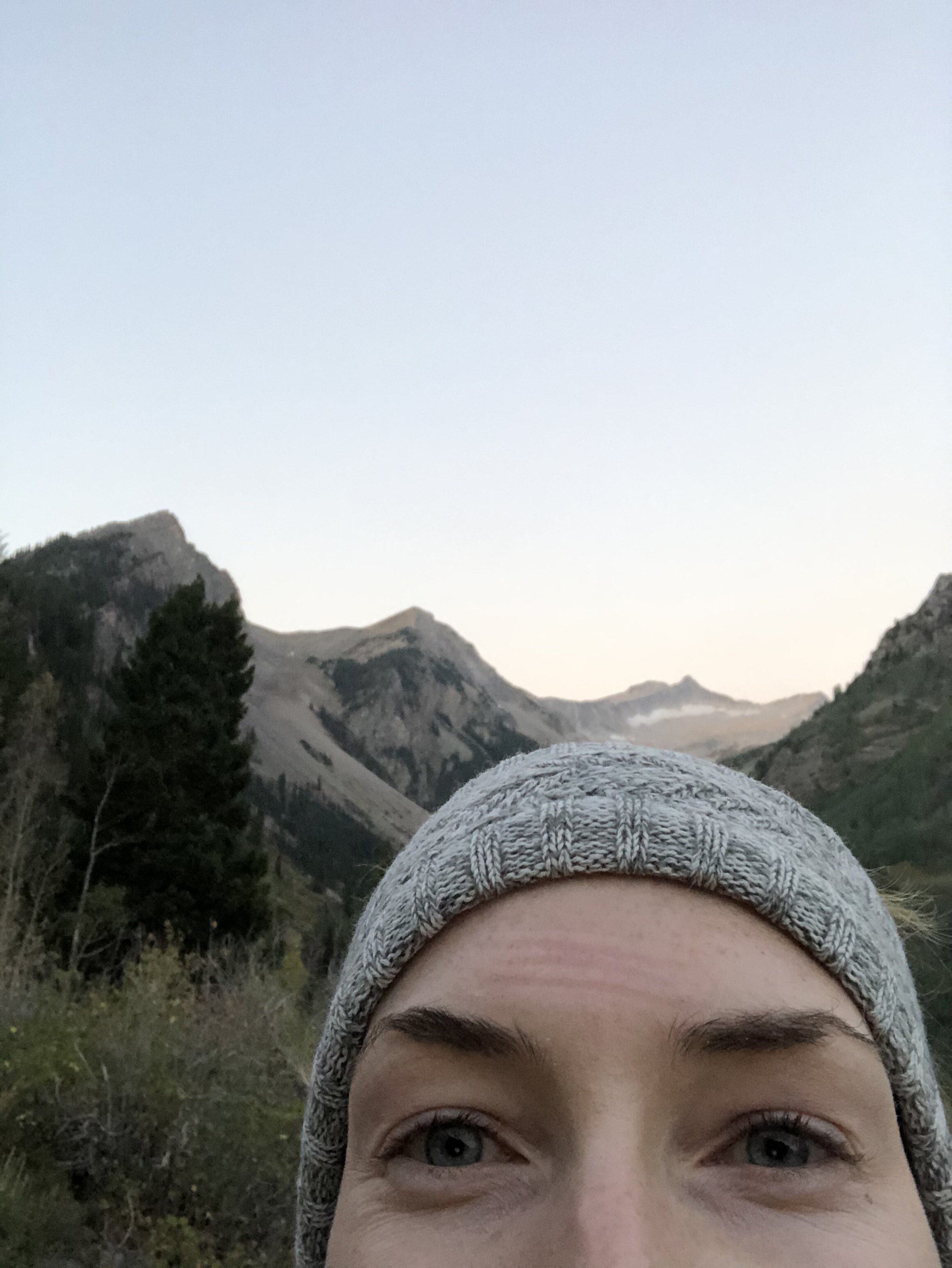
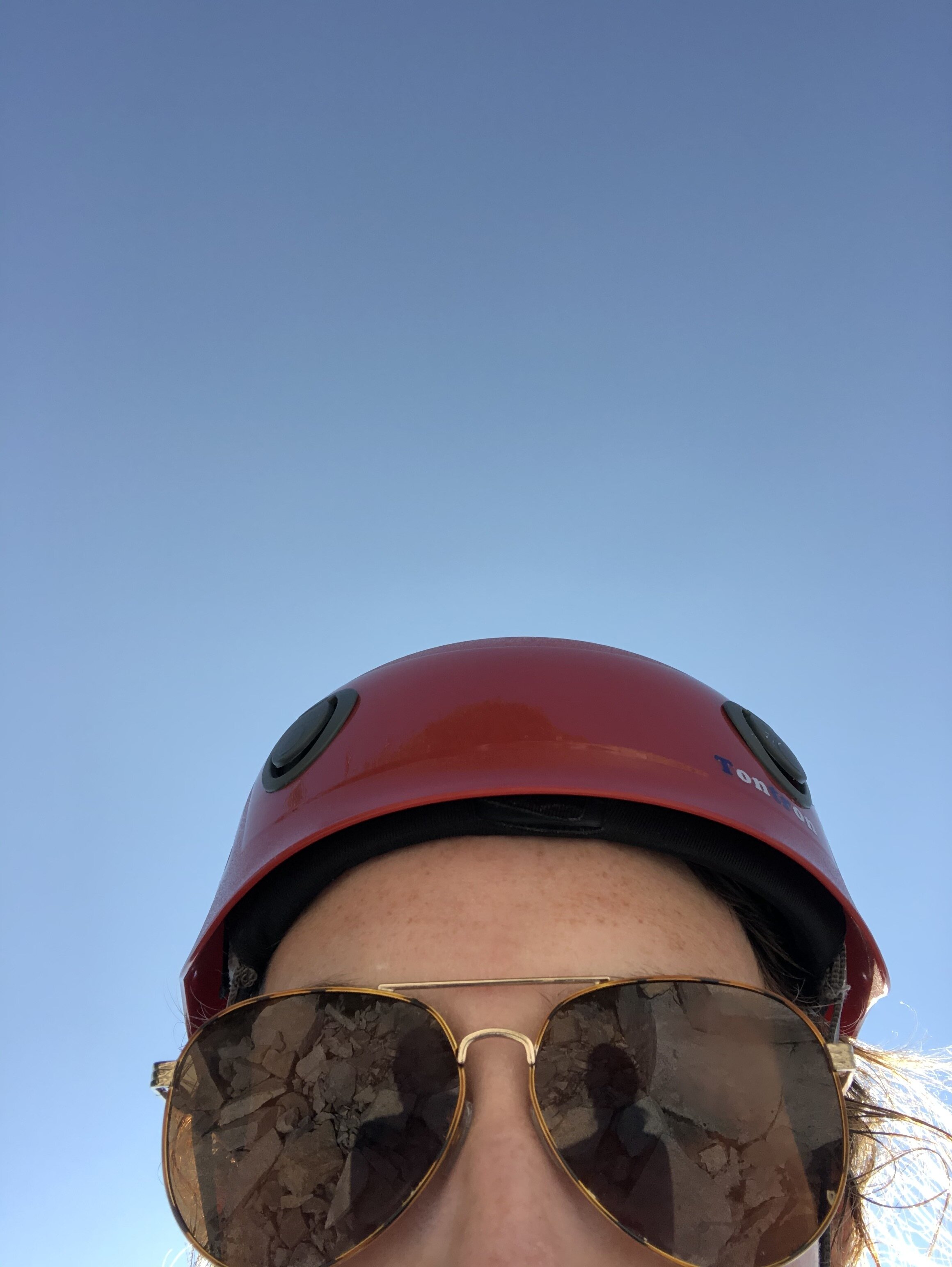
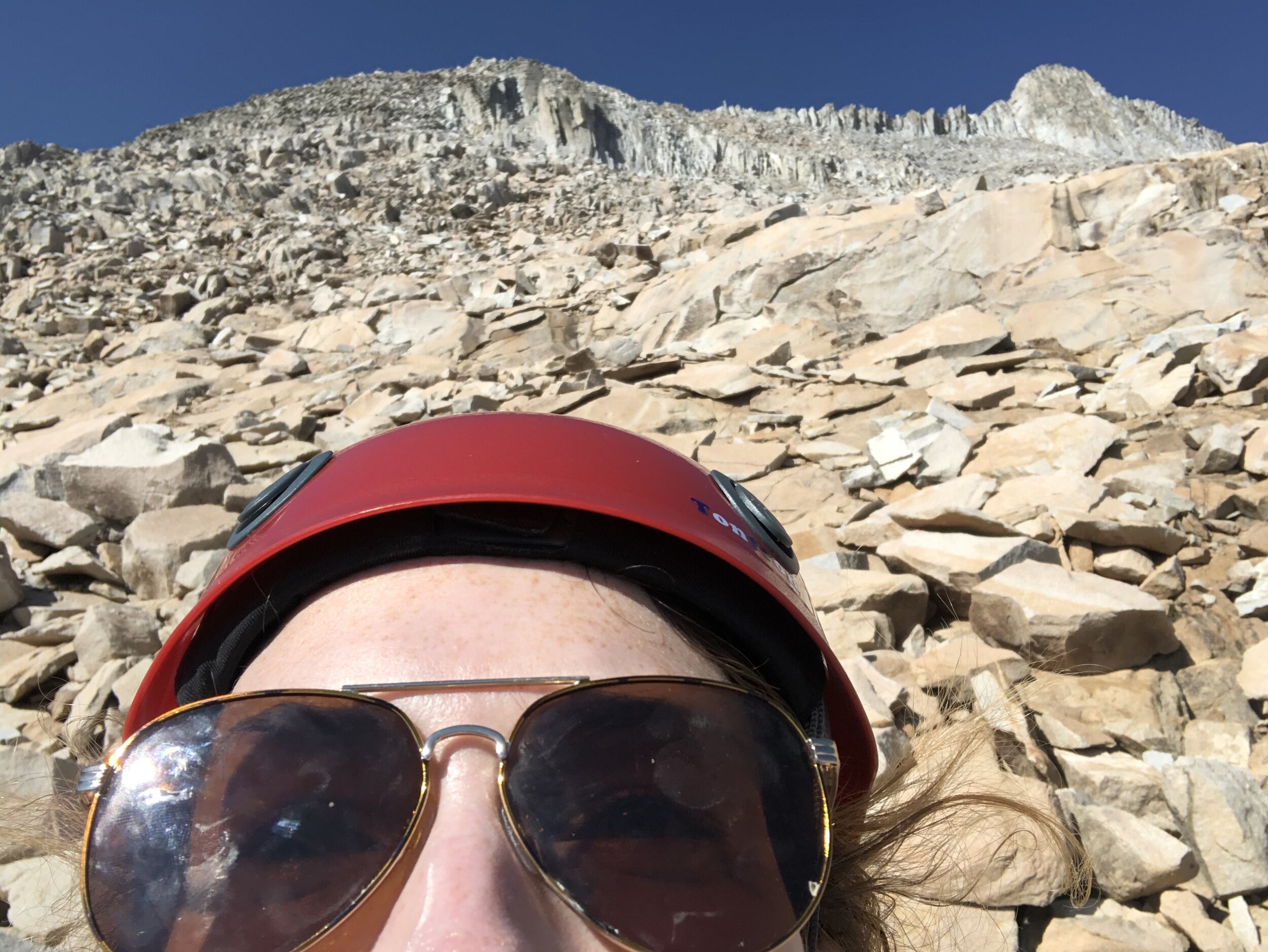
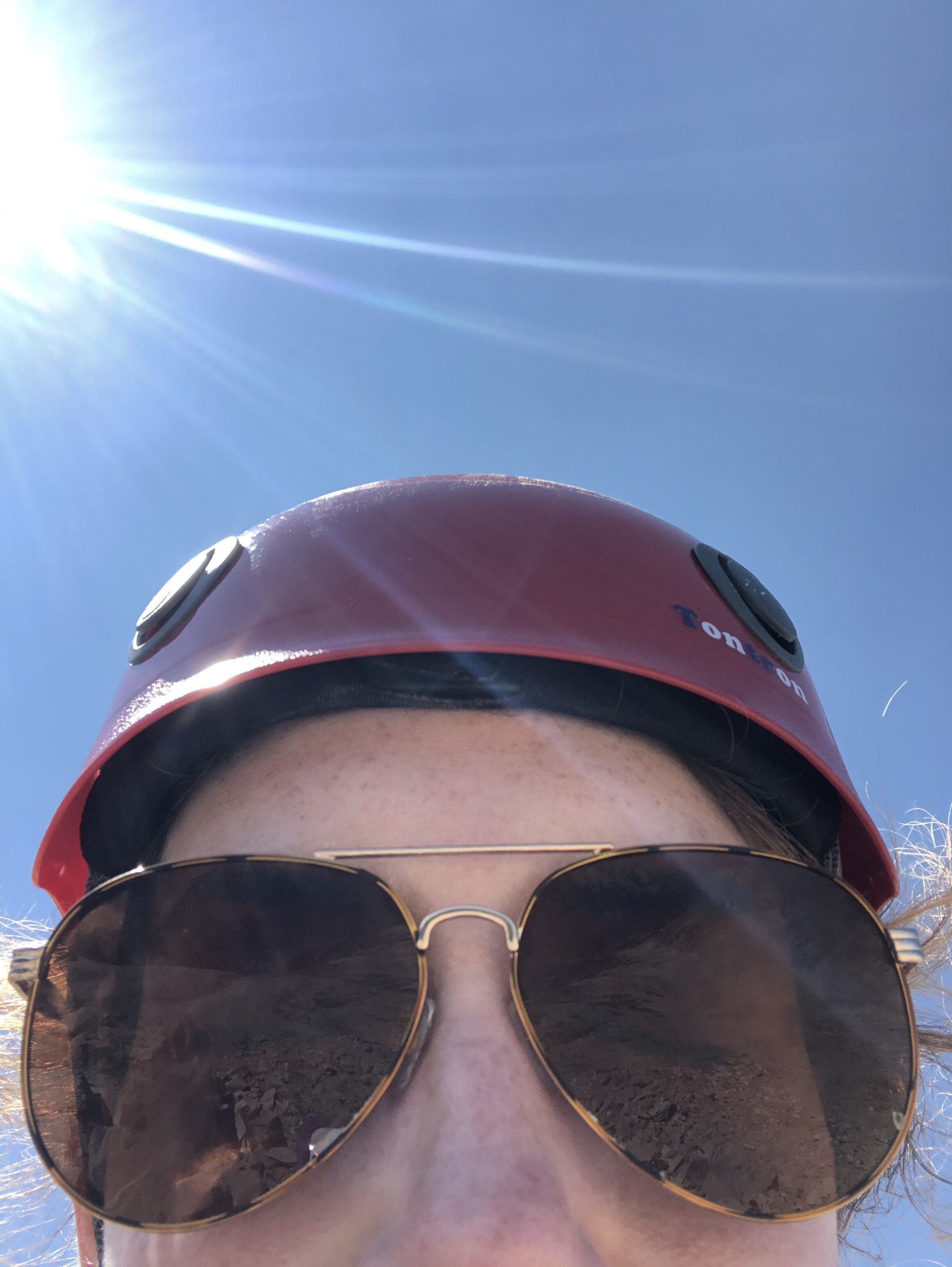
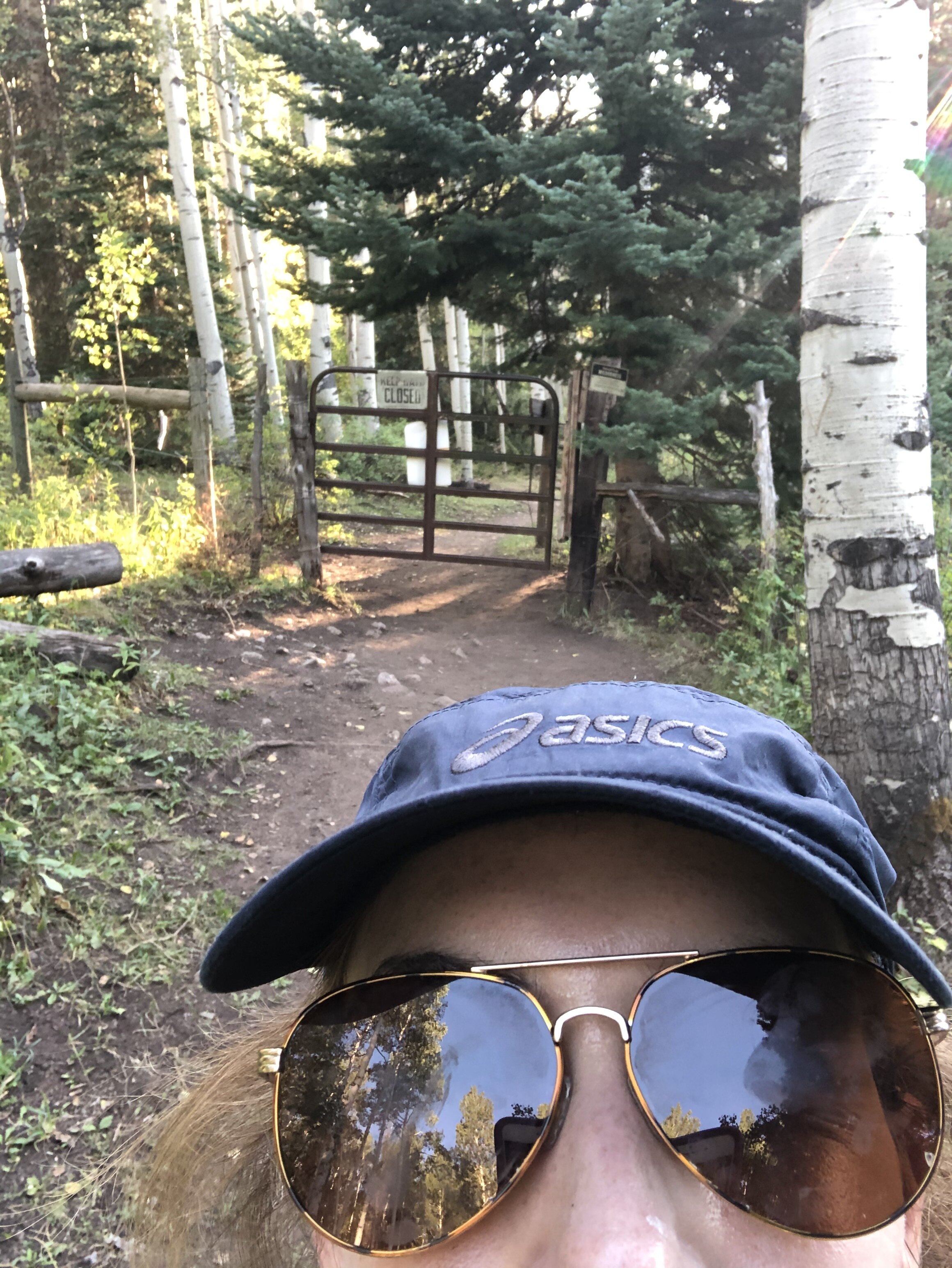
The next morning, I woke up at 2:45 am. I woke up relatively late (lmao, I have woken up before/at 1am many times this summer….yikes). The trailhead for Snowmass was about 50 minutes from my airbnb. I got close to the trailhead which was pretty full. I parked about 0.2 miles from the actual parking lot, but it turns out I could have parked much closer. I just saw all the cars and decided that I might as well…I mean if I am gonna be lazy about 0.2 miles, then I have no business doing this 14er >:). I was surprised by the amount of cars; however, Snowmass Lake is a popular place for people to hike to and camp at (so the majority of people probably weren't actually summiting Snowmass). I started my hike at 4:17 am. I took the standard kristin headlamp selfie. You’re welcome.
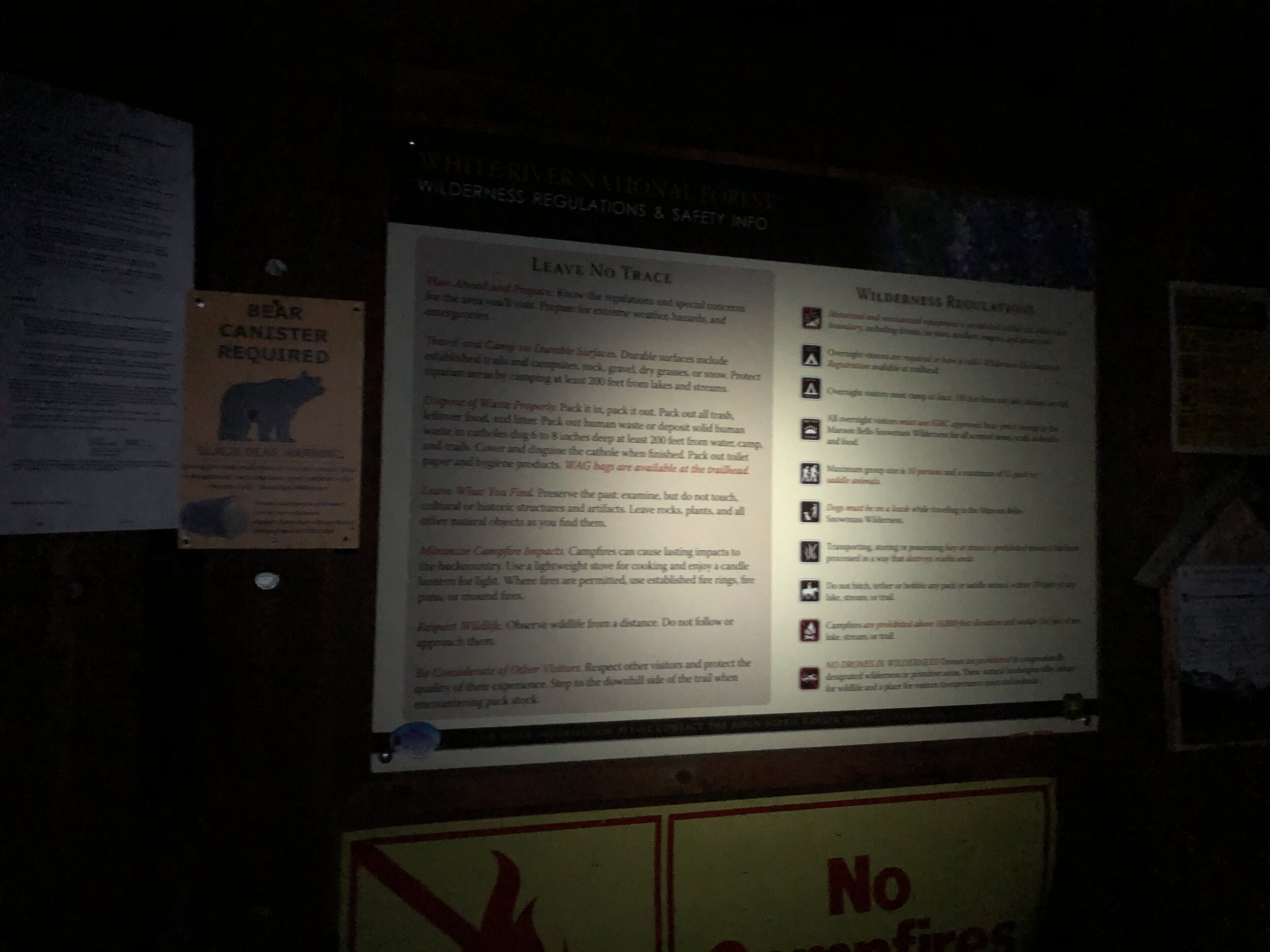
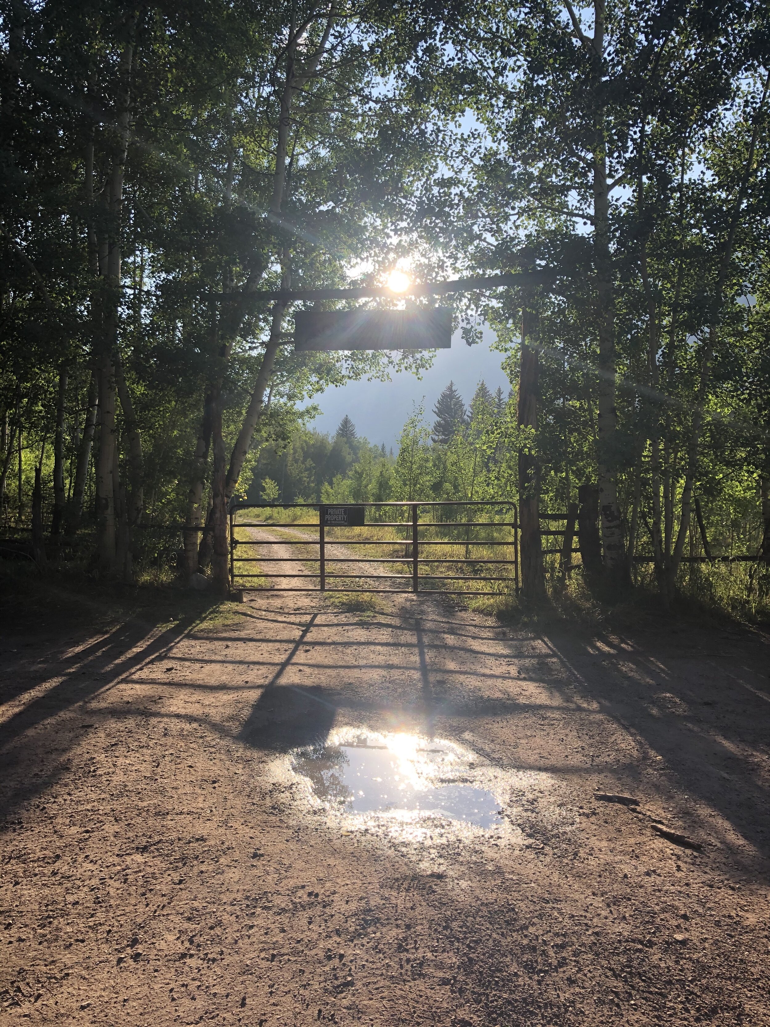
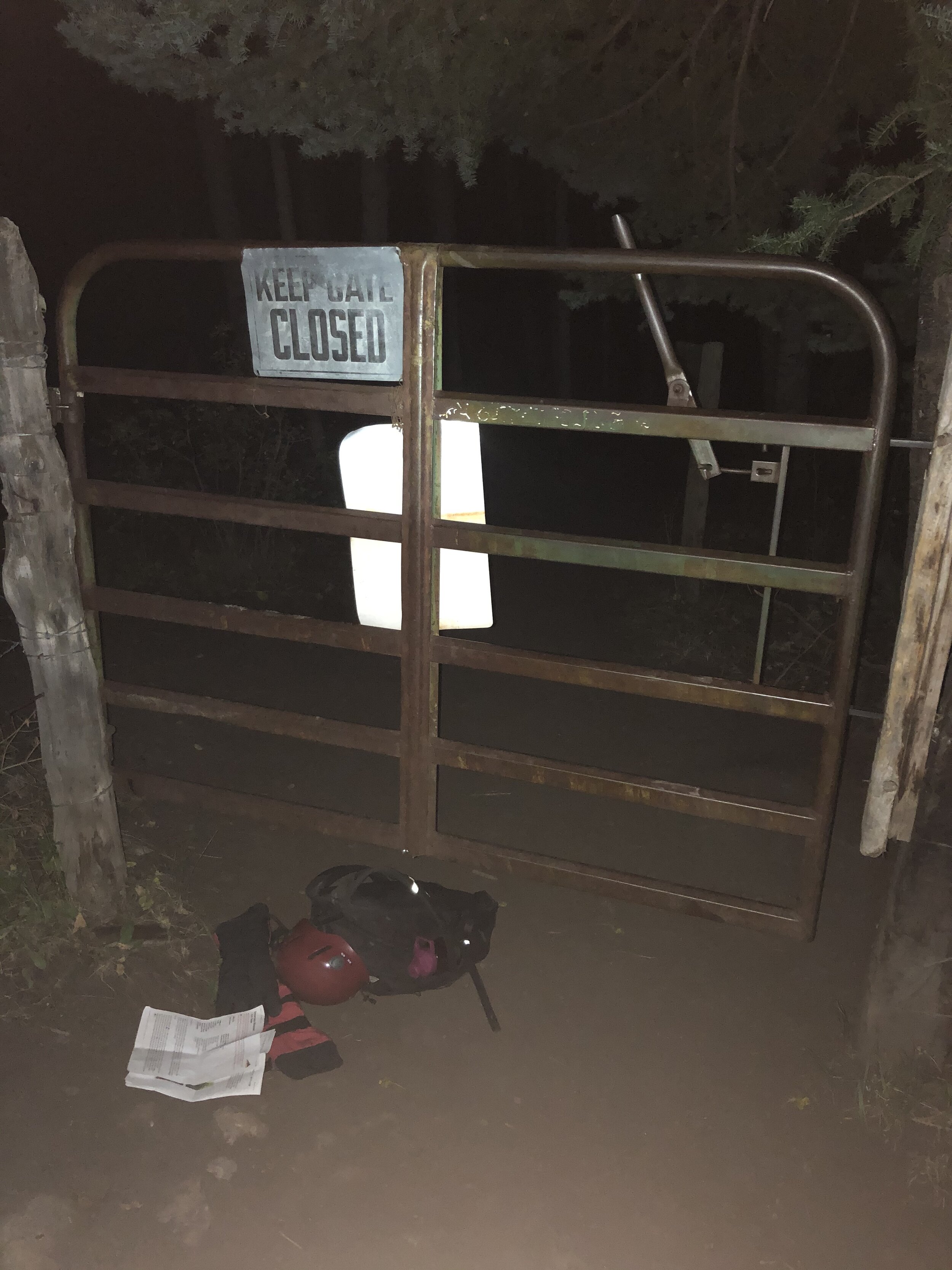
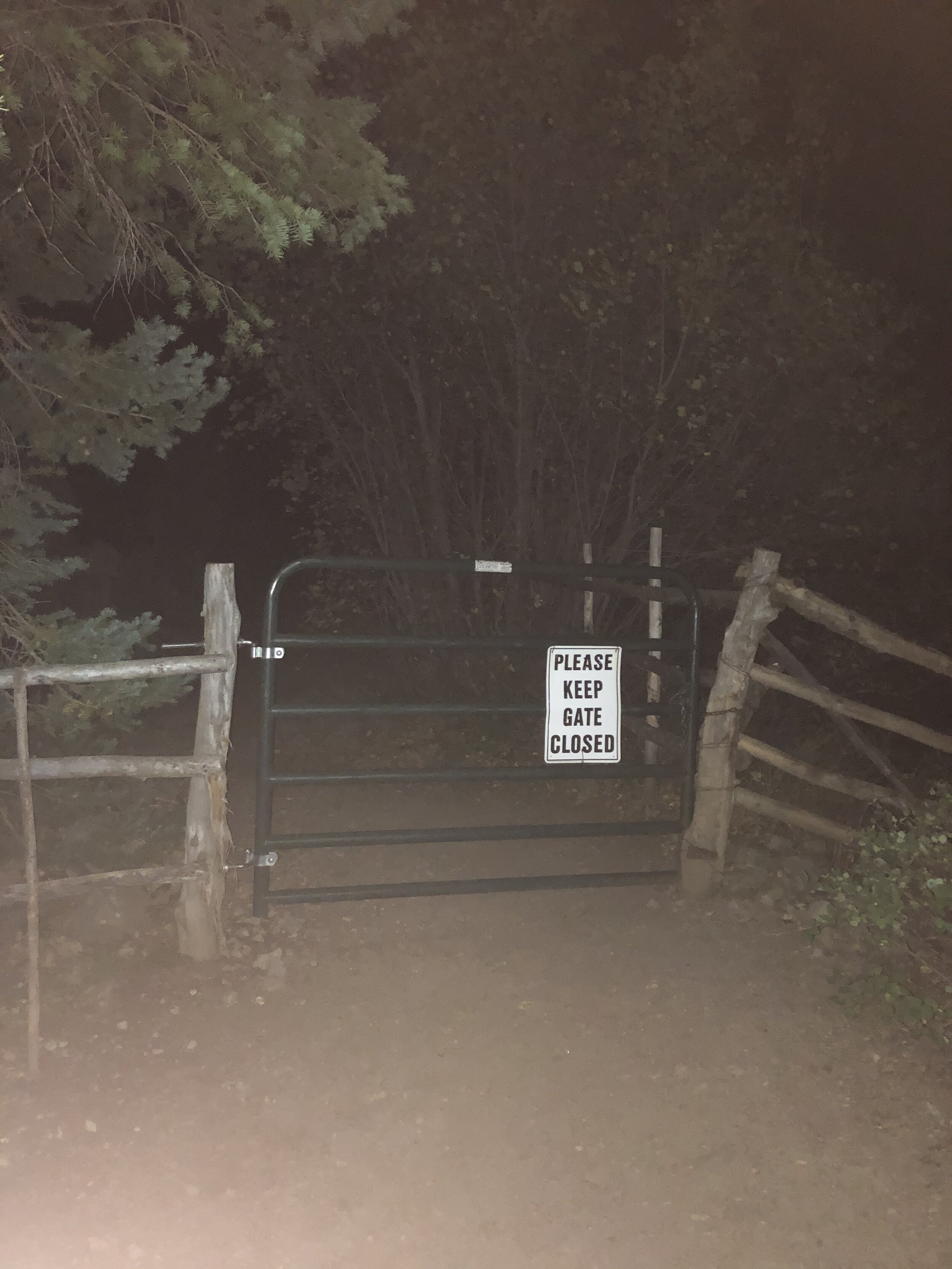
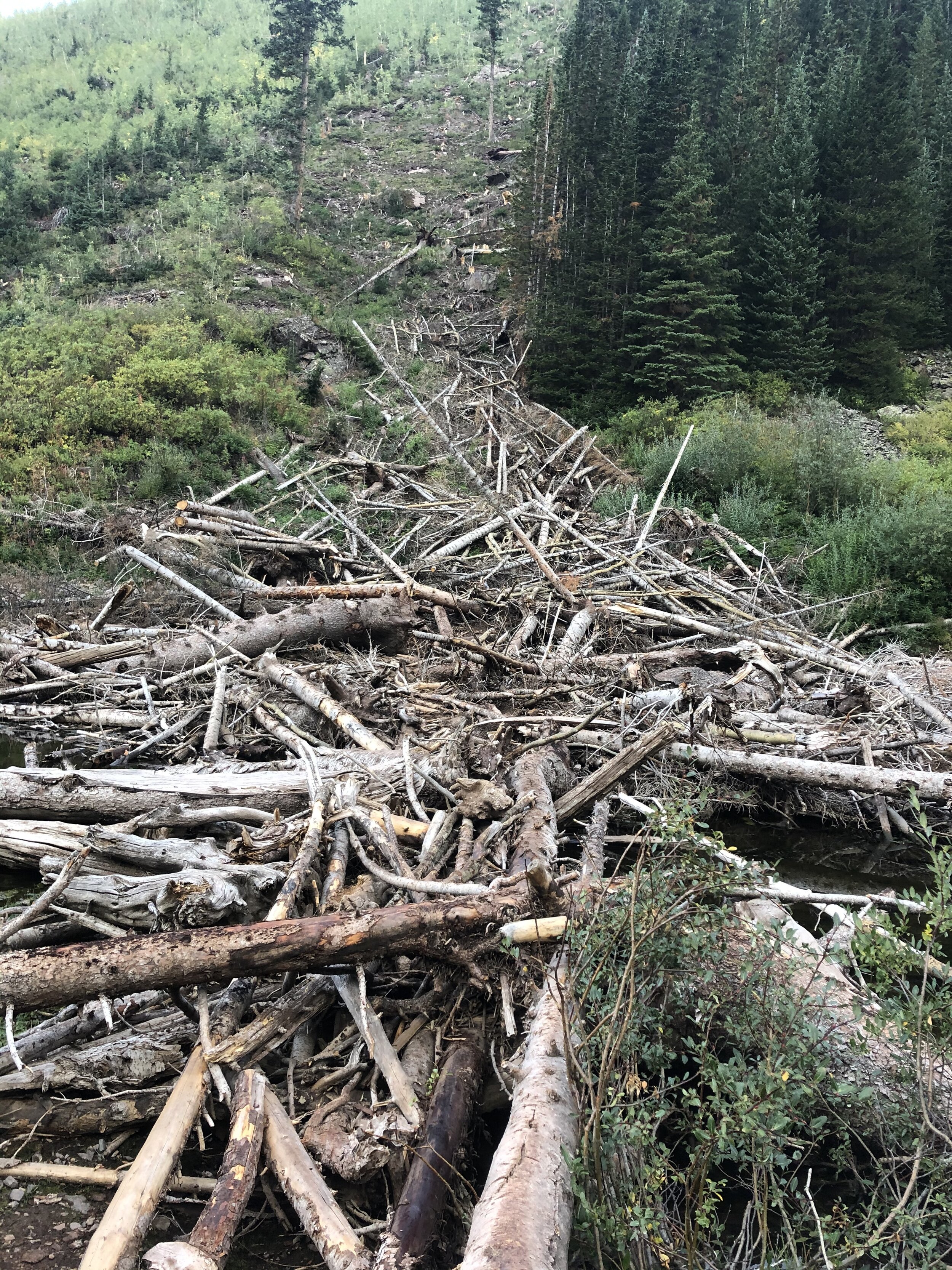
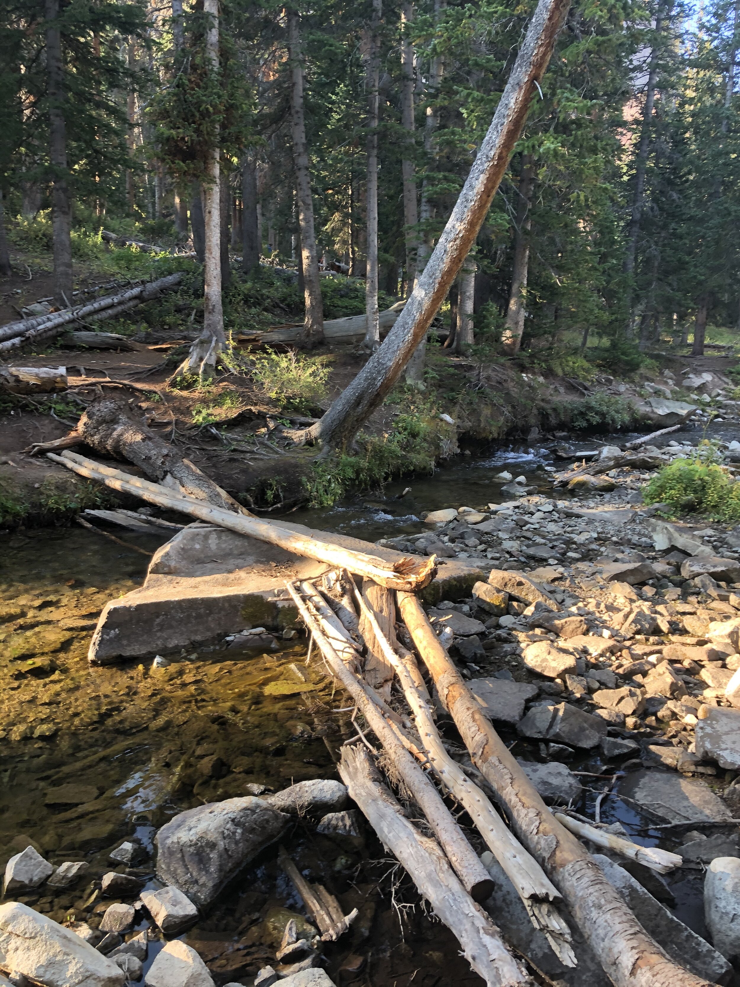
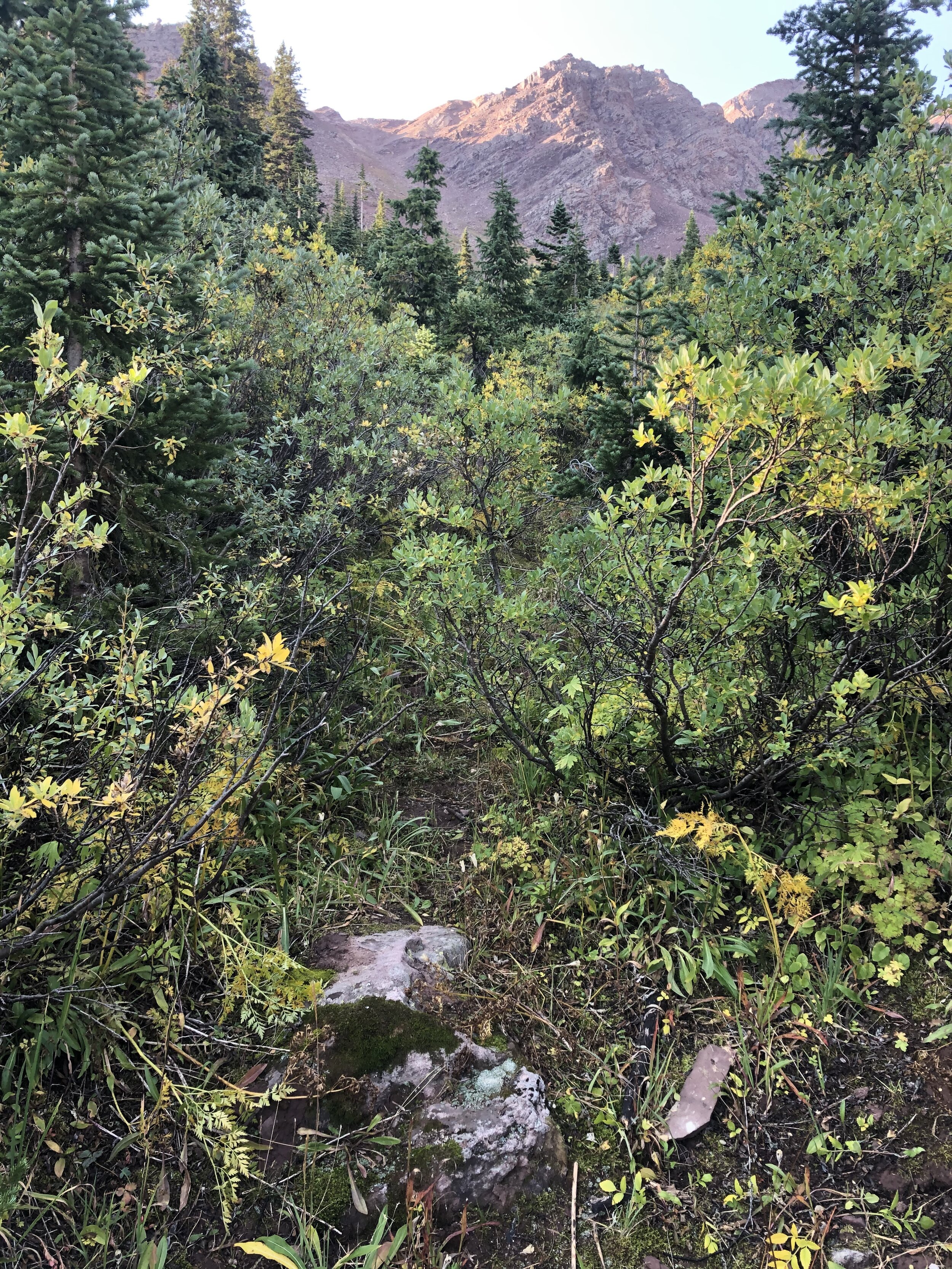
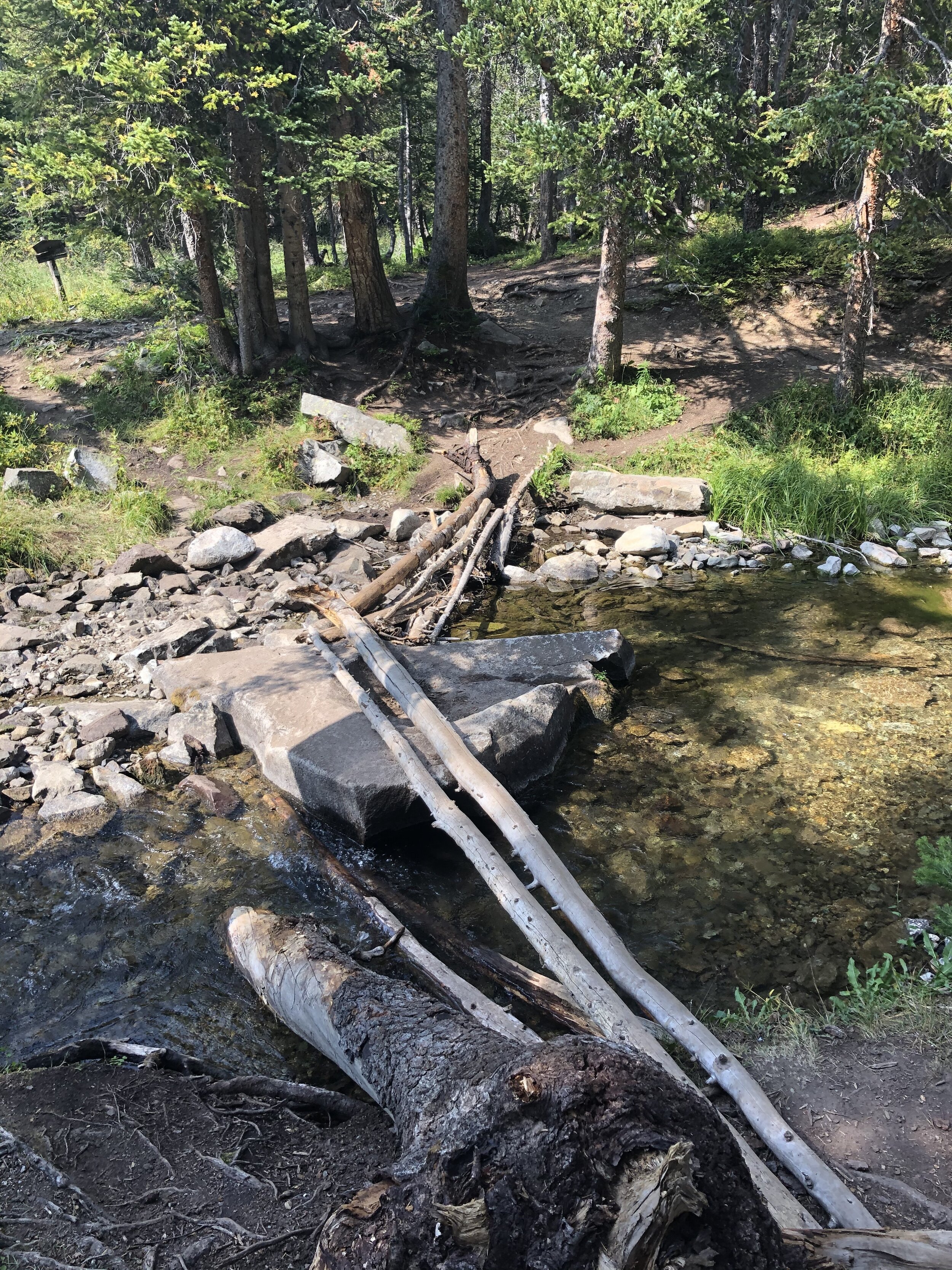
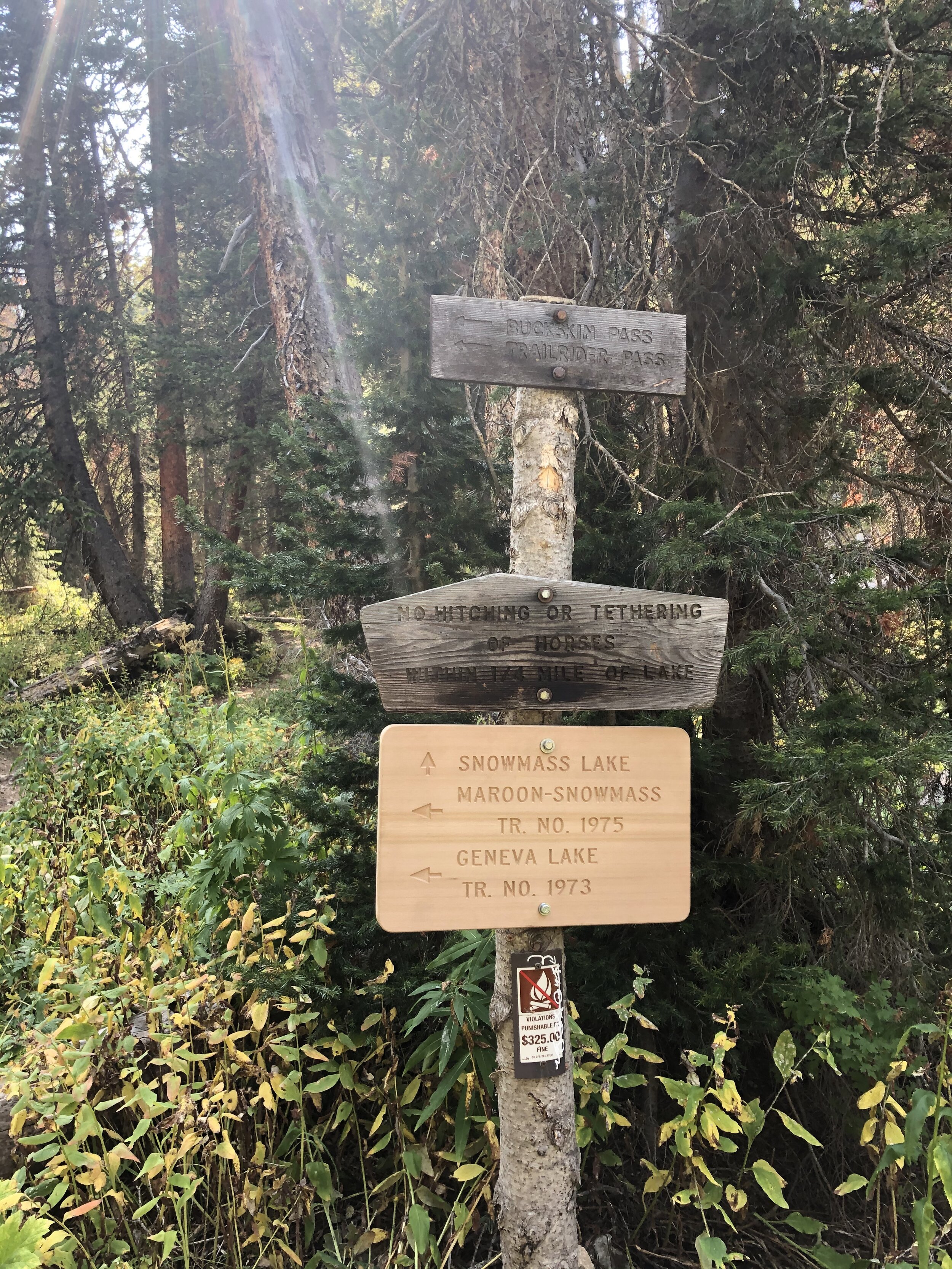
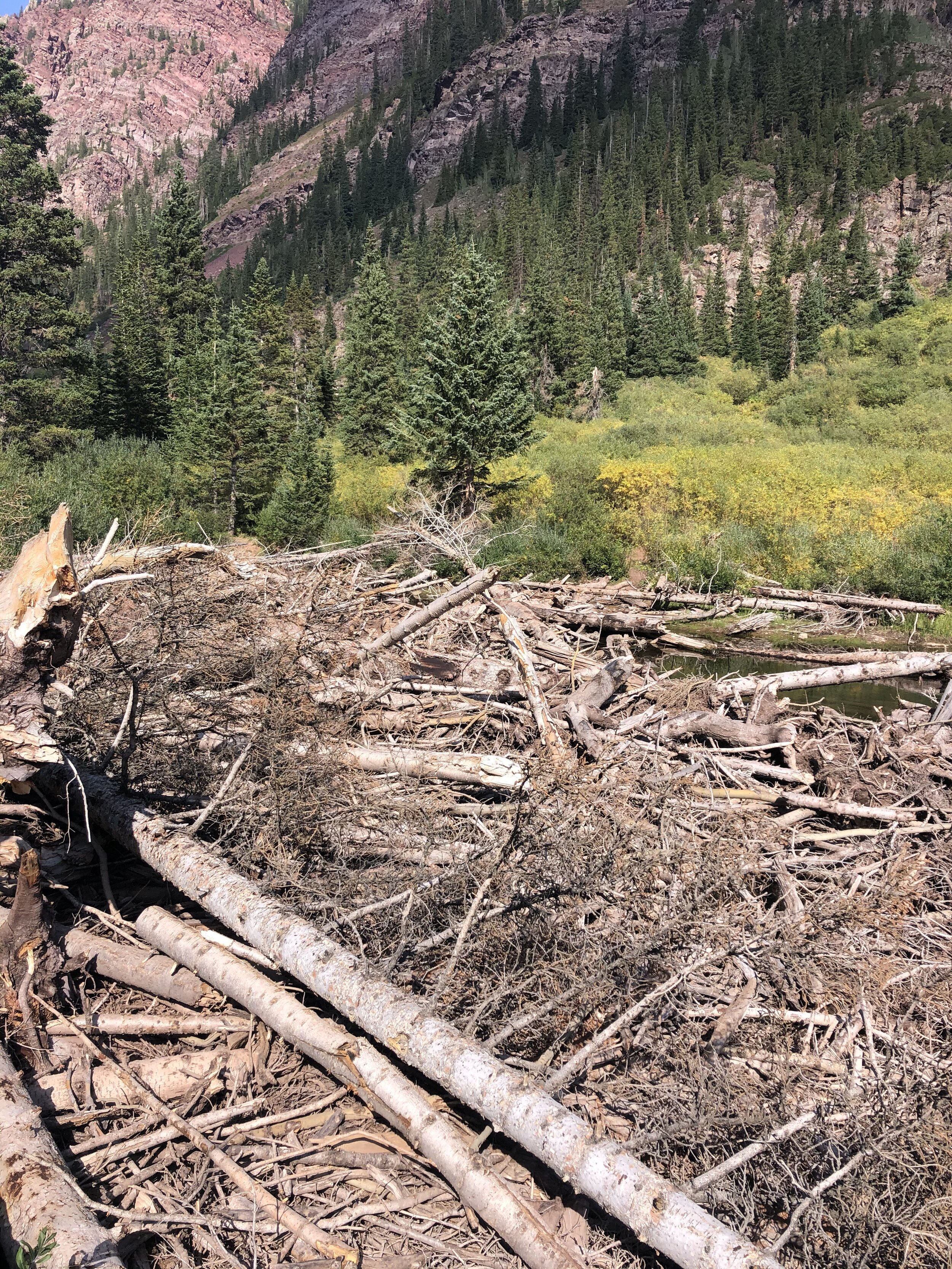
There are some gates that you pass through at the beginning. I just scooted under the first gate because I couldn't figure out how to open it lol. I felt like I was sneaking in somewhere HAHA. The first couple hours of the hike did not go smoothly honestly. The directions combined with being in the dark confused me and I wasted 30-35 minutes backtracking and taking a wrong trail—this started at about 30 minutes in. I’m not gonna lie…I was pretty annoyed and I didn't feel completely relieved until I got to the logjam a couple hours later. And this happened to an experienced 14er peakbagger….ahh!!!

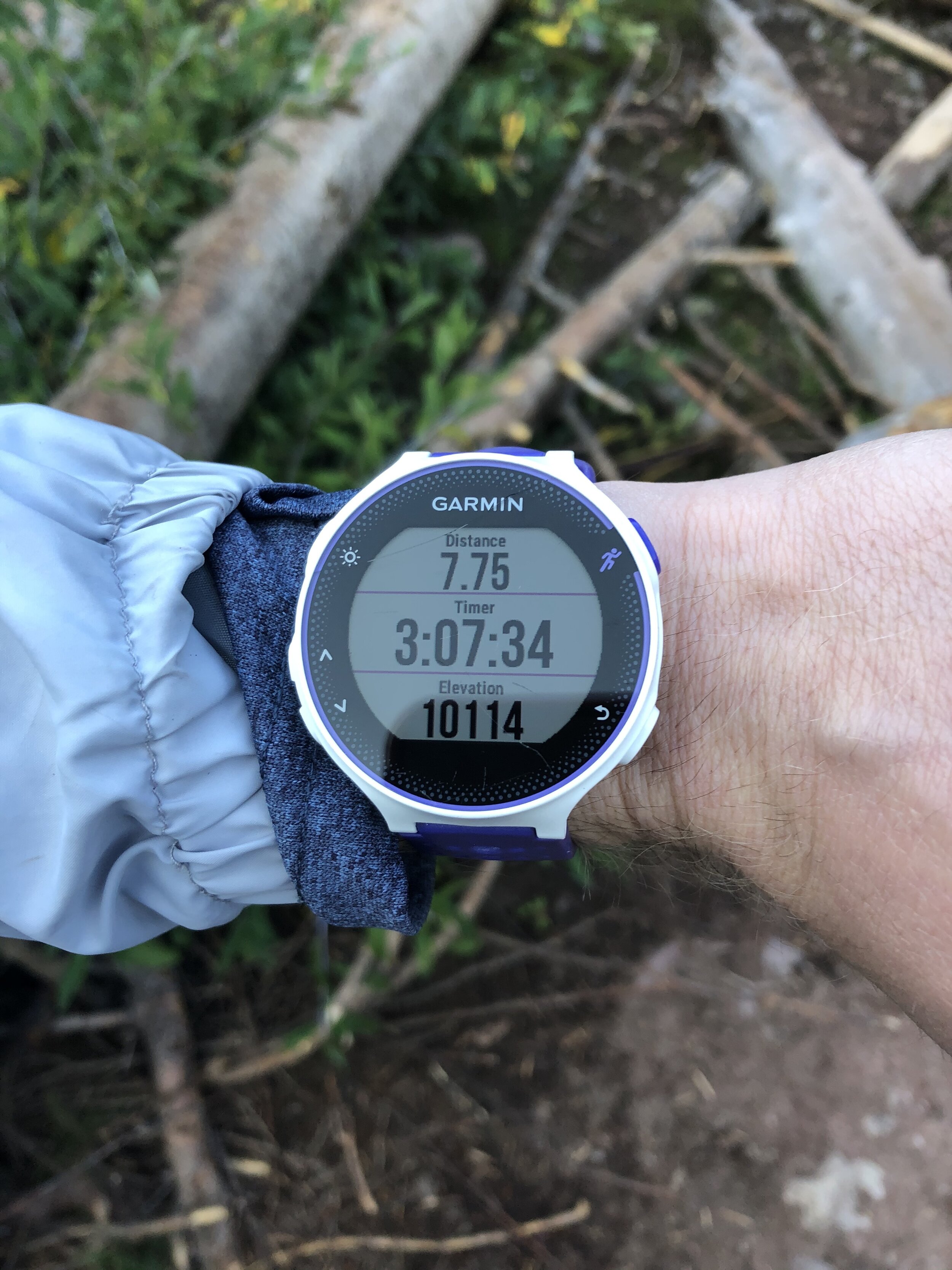
So, in case anyone cares or can relate, my mileage stats will be slightly off from yours for the rest of this post (because of the aforementioned mess-up). I hit the “infamous” (lmao…that’s what the route description called it) logjam at 7.75 miles/3 hours and 7 minutes in. It’s located at just over 10,000’. It took me less than 3 minutes to cross; however, it apparently can be very hard and take a ton of time to cross without falling in earlier in the summer. Anyways, I crossed it and went on my merry way. Sometime probably right after this, I lost one of my five bananas that I brought :/. Sorry lil buddy.
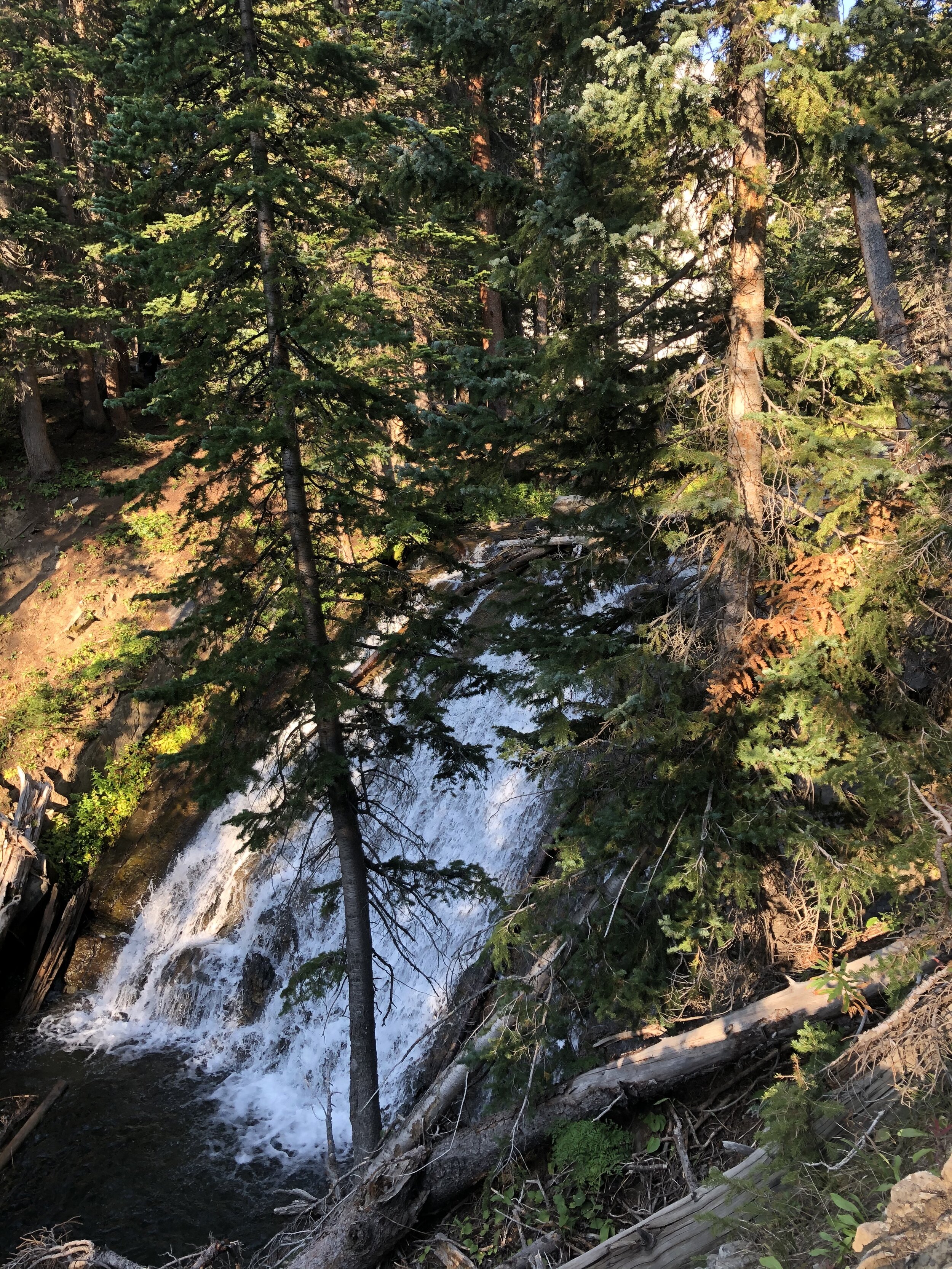
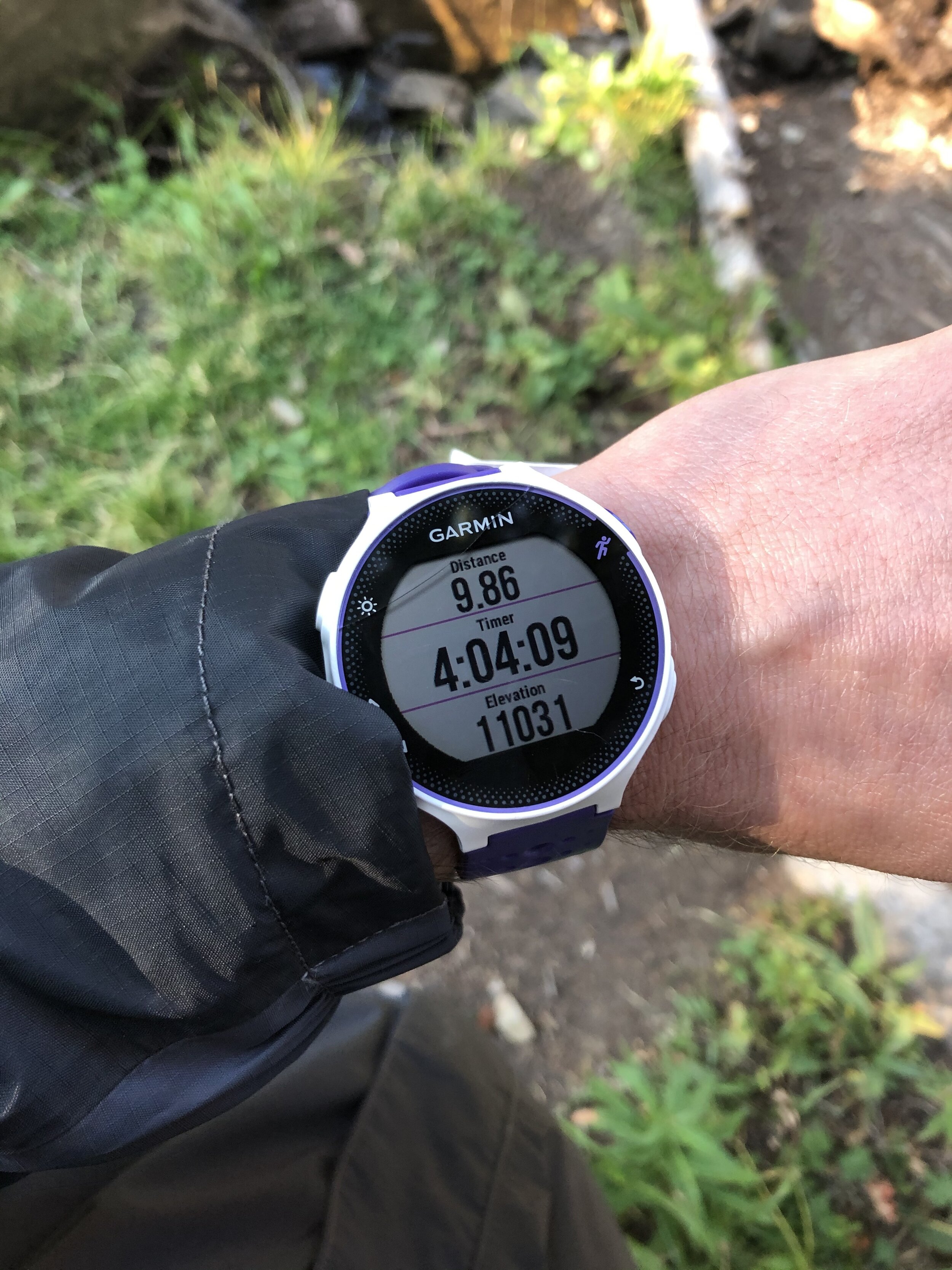
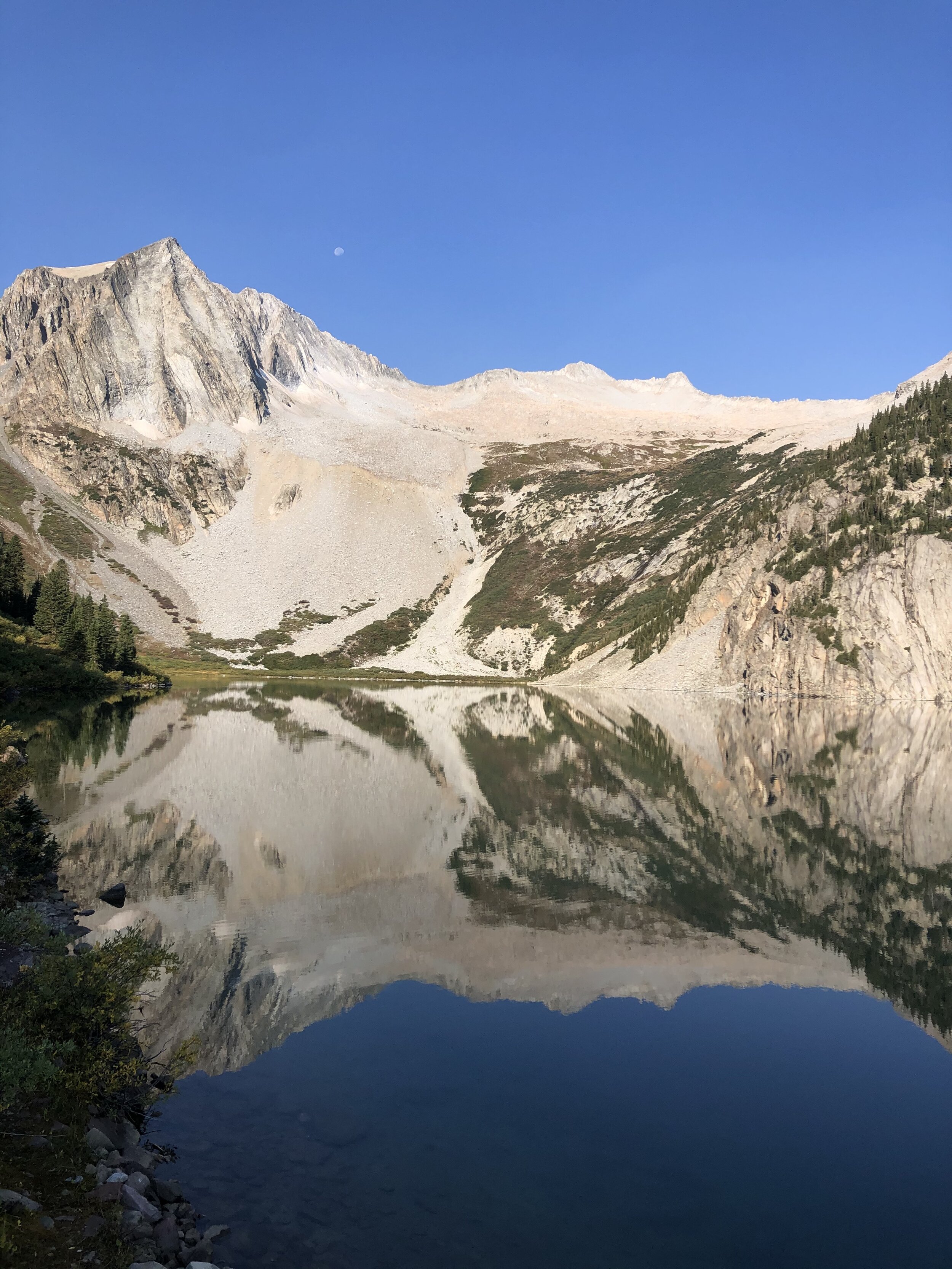
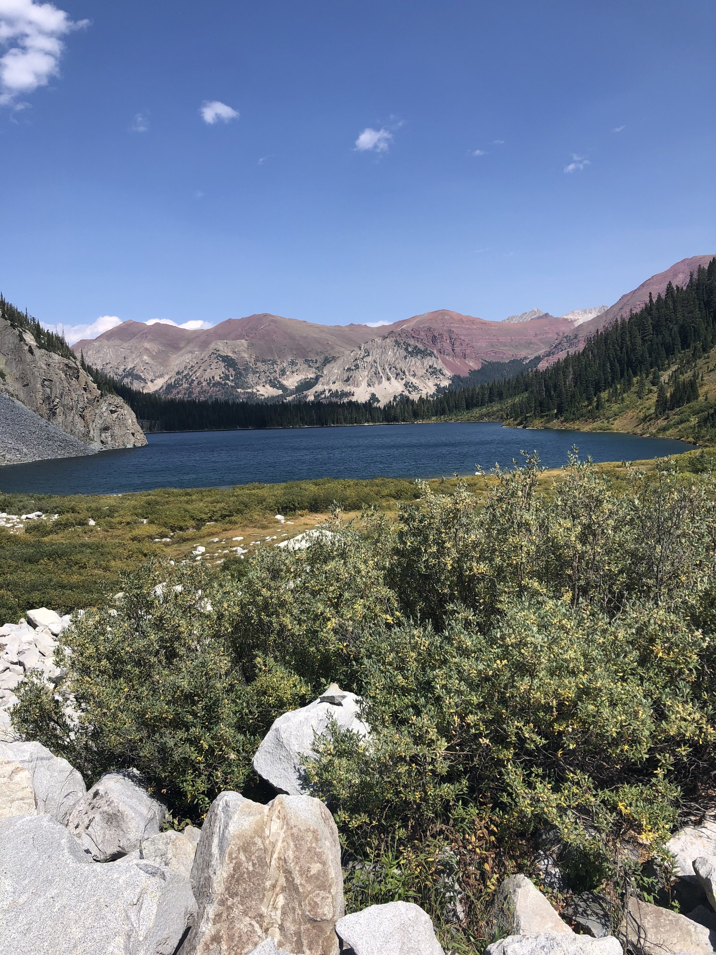
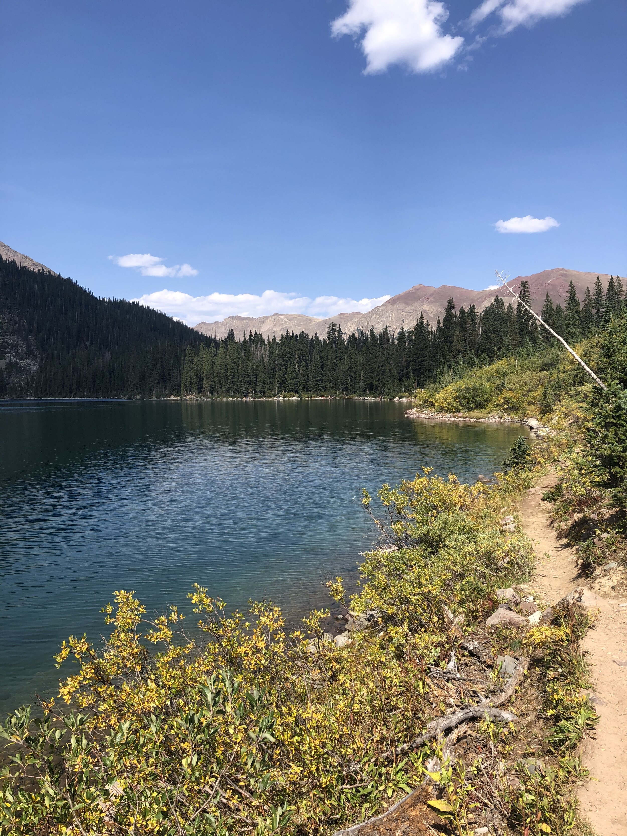
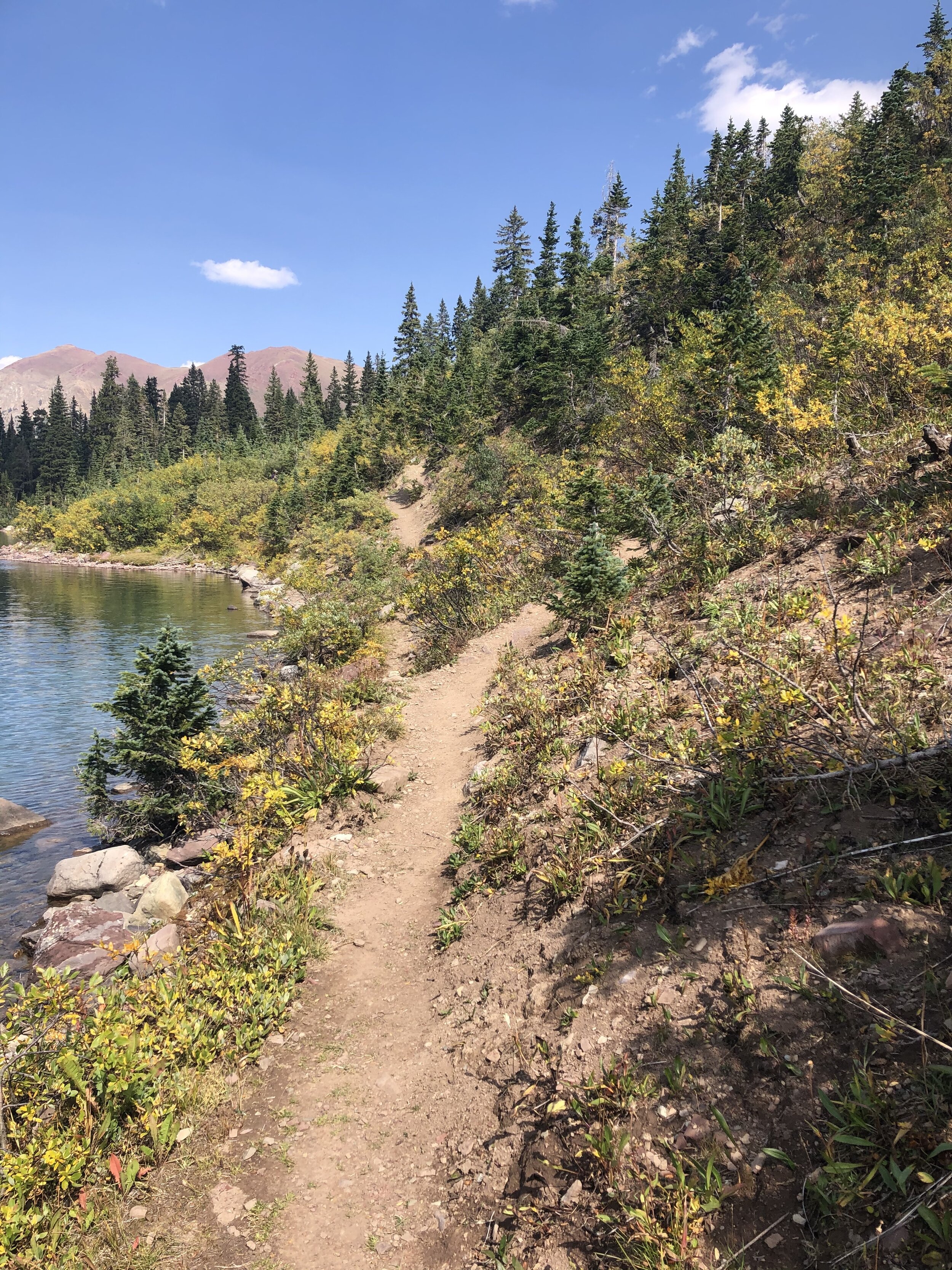
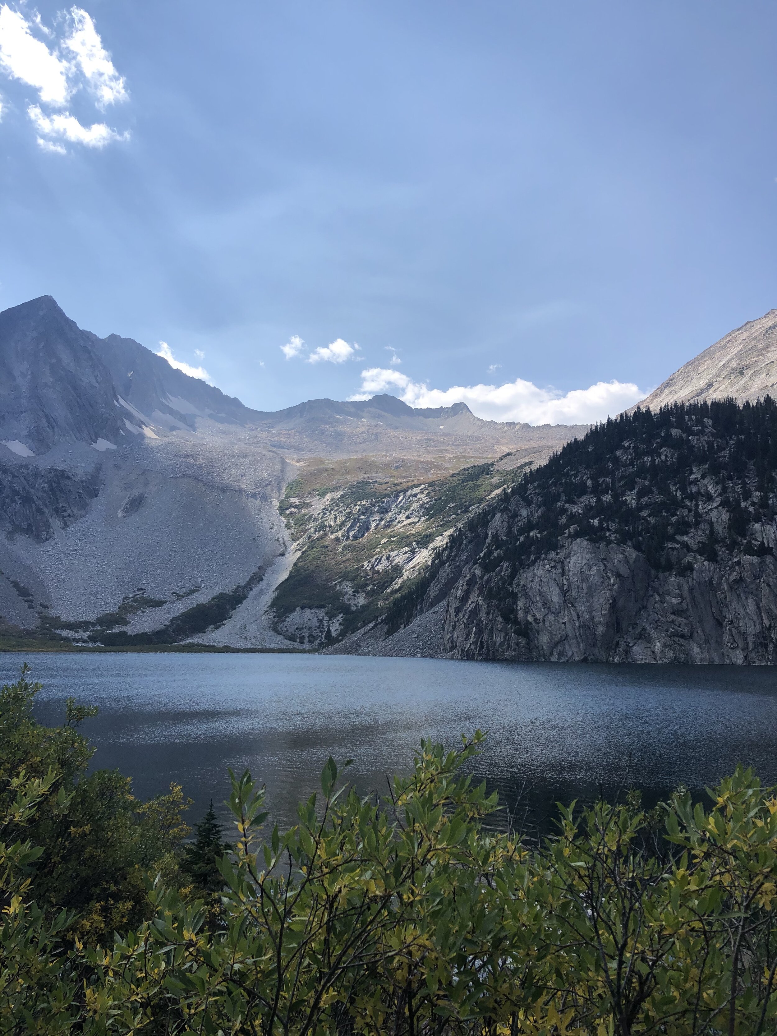
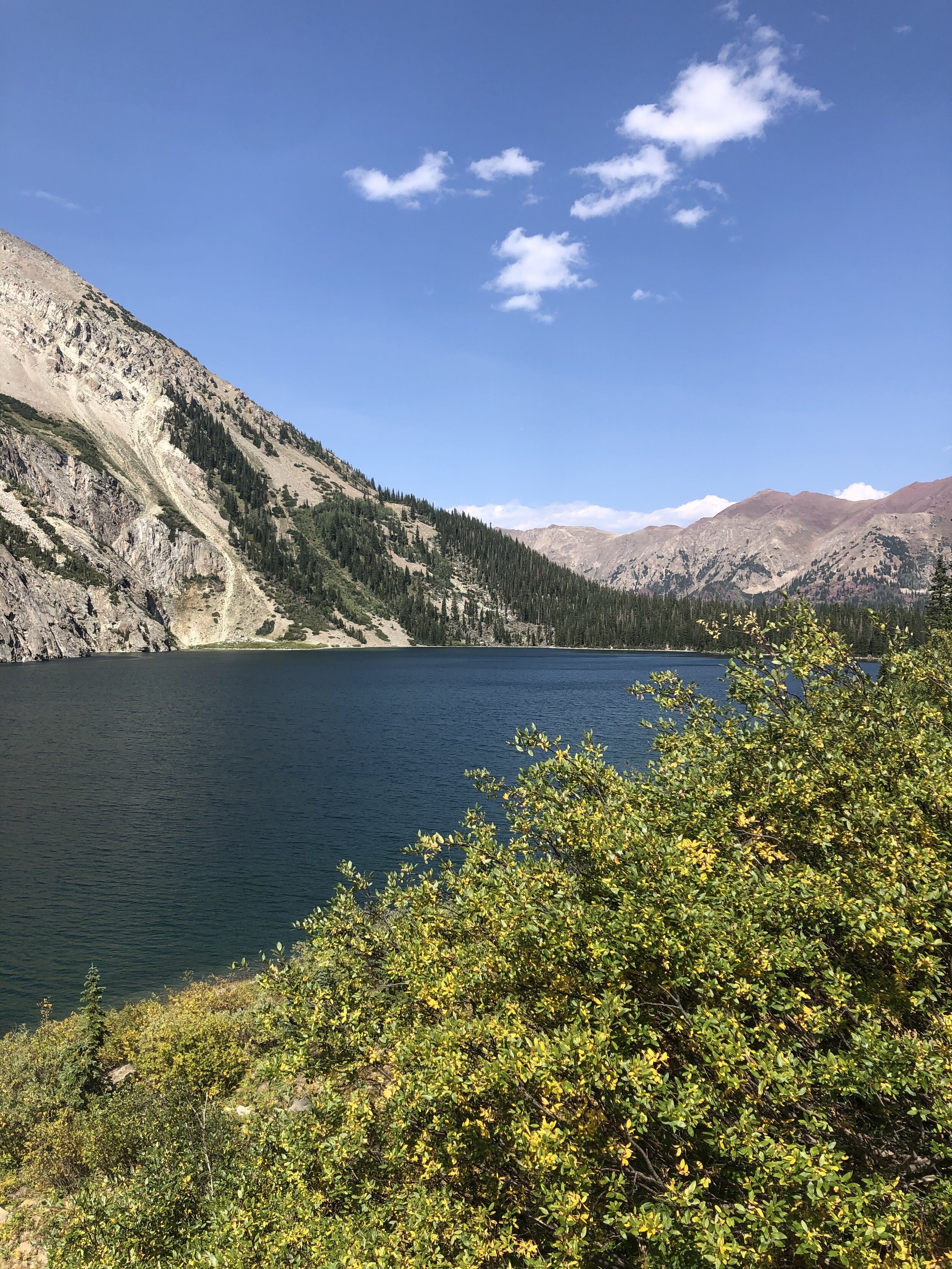
Not quite an hour later, I arrived to Snowmass Lake (9.86 miles/4 hours and 4 minutes). Snowmass Lake is only at about 11,000’ elevation, so, as you can see, this first portion of the hike was insanely flat….only 2,600’ gain over what should’ve been 8.5 miles or so.
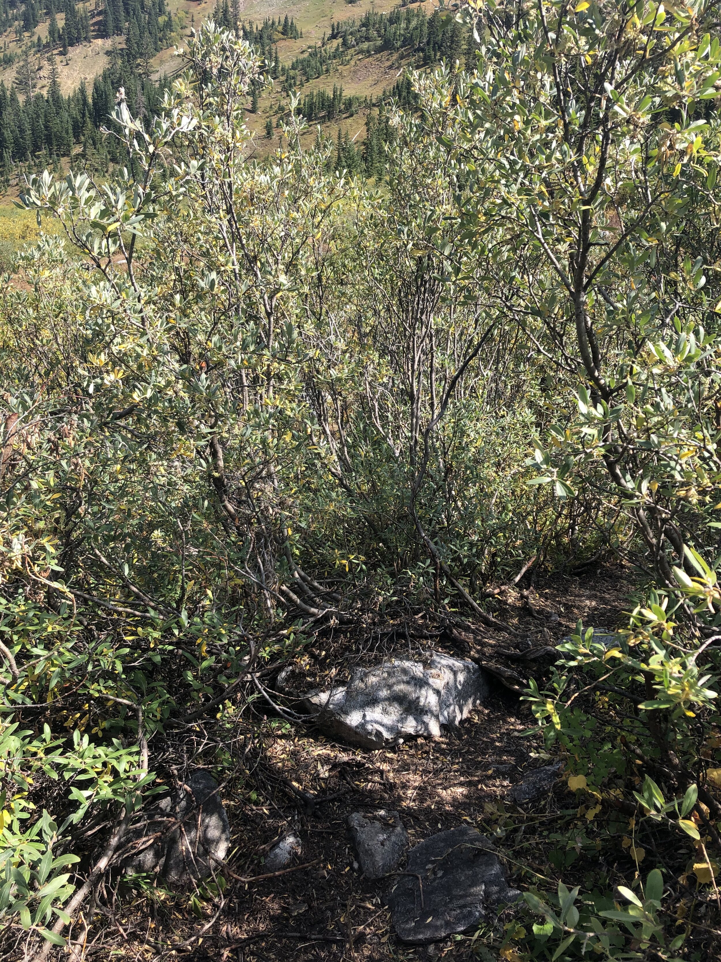
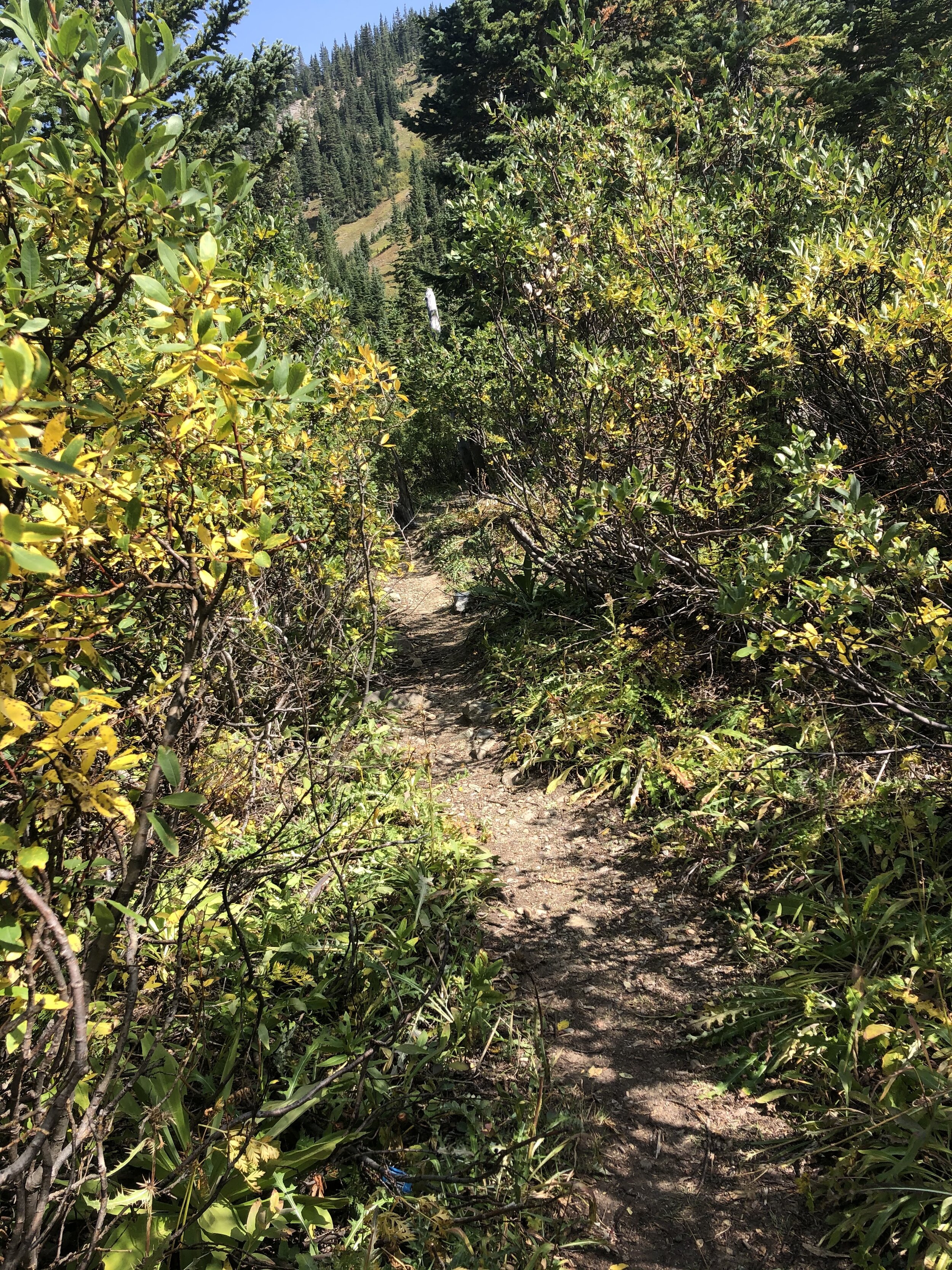
The next part of this 14er was also confusing through the willows around the lake!!! I kind of wandered through the willows and met up with a group of 5 and we got through the willows together. The path was much more obvious on the way back…this always happens! My feet/shoes got wet and very muddy; however, the willows were dry so I did not get wet. This trek through the willows gave me flashbacks to Mt. Evans/Spalding (check out that post ;) ) from Guanella Pass (harder than its standard route) that I completed 13 months ago. The willows were hella wet, it was also confusing, and I was freezing. At least this time, it was just confusing!
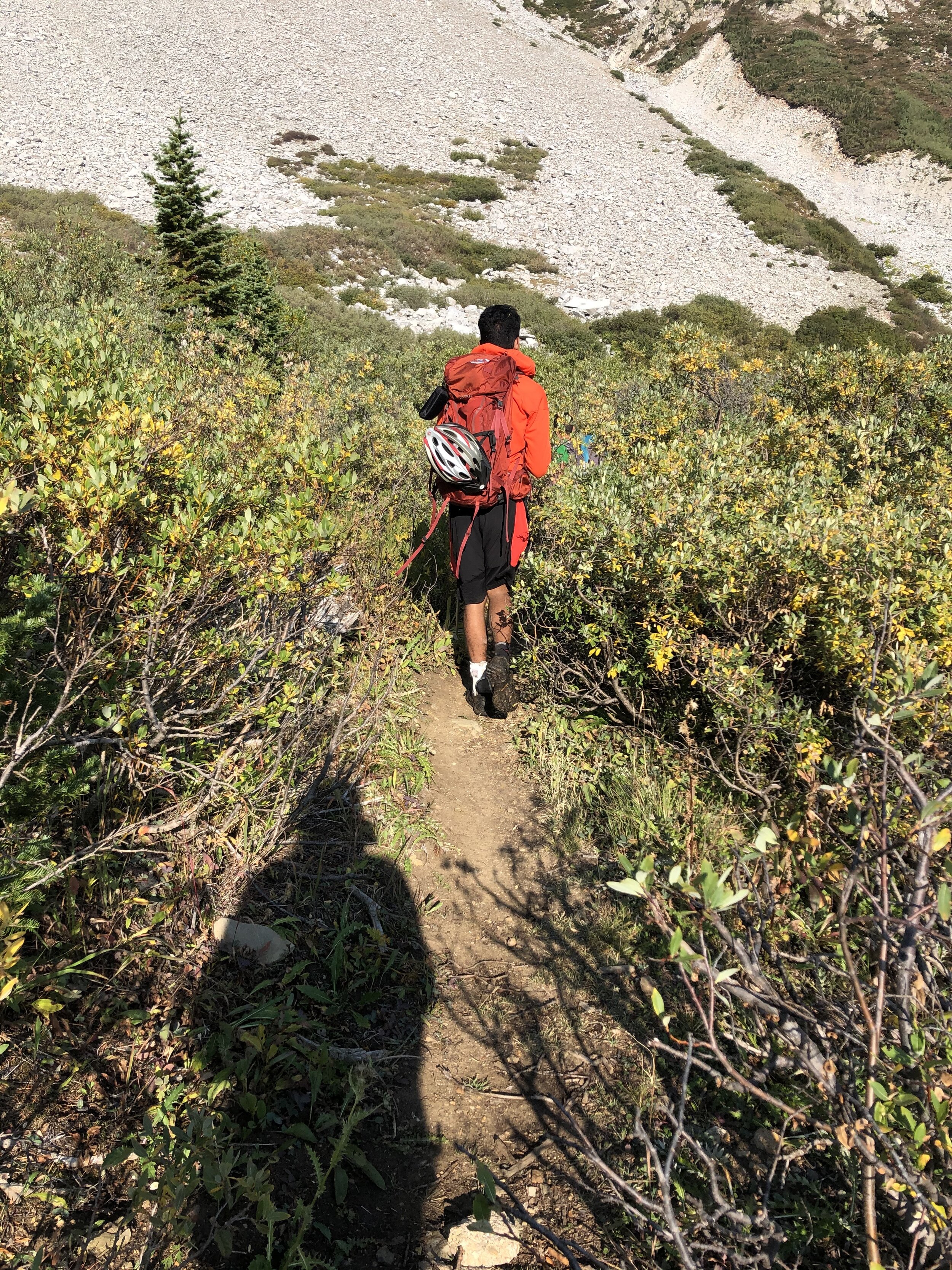
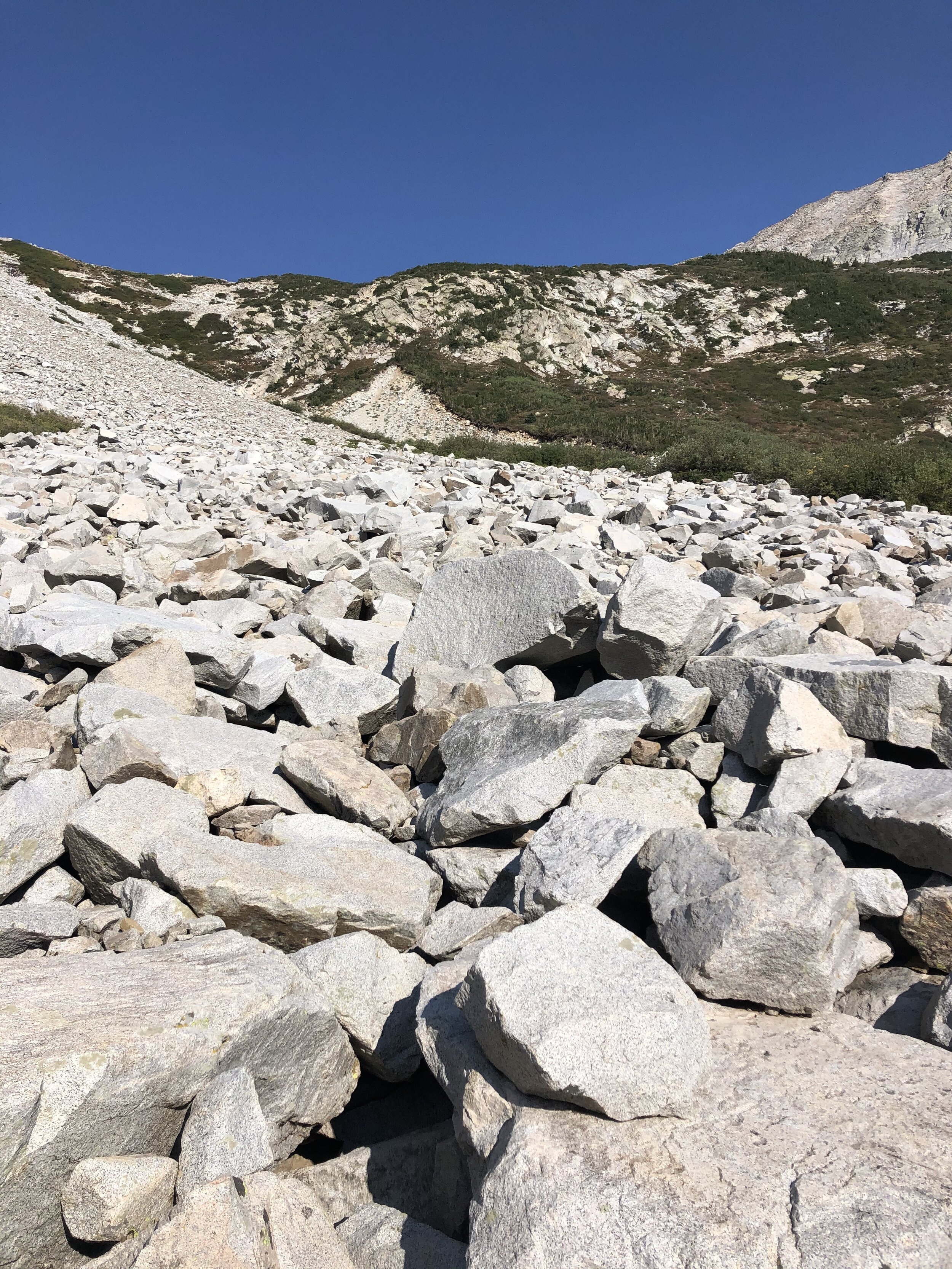
Soon enough, I was out of the willows! The next portion of the hike was up a large boulder field. That soon turned into a steep scree/rocky incline. I put my helmet at around 11,500’ because safety first!!!!!! But actually, it was kind of loose and all.
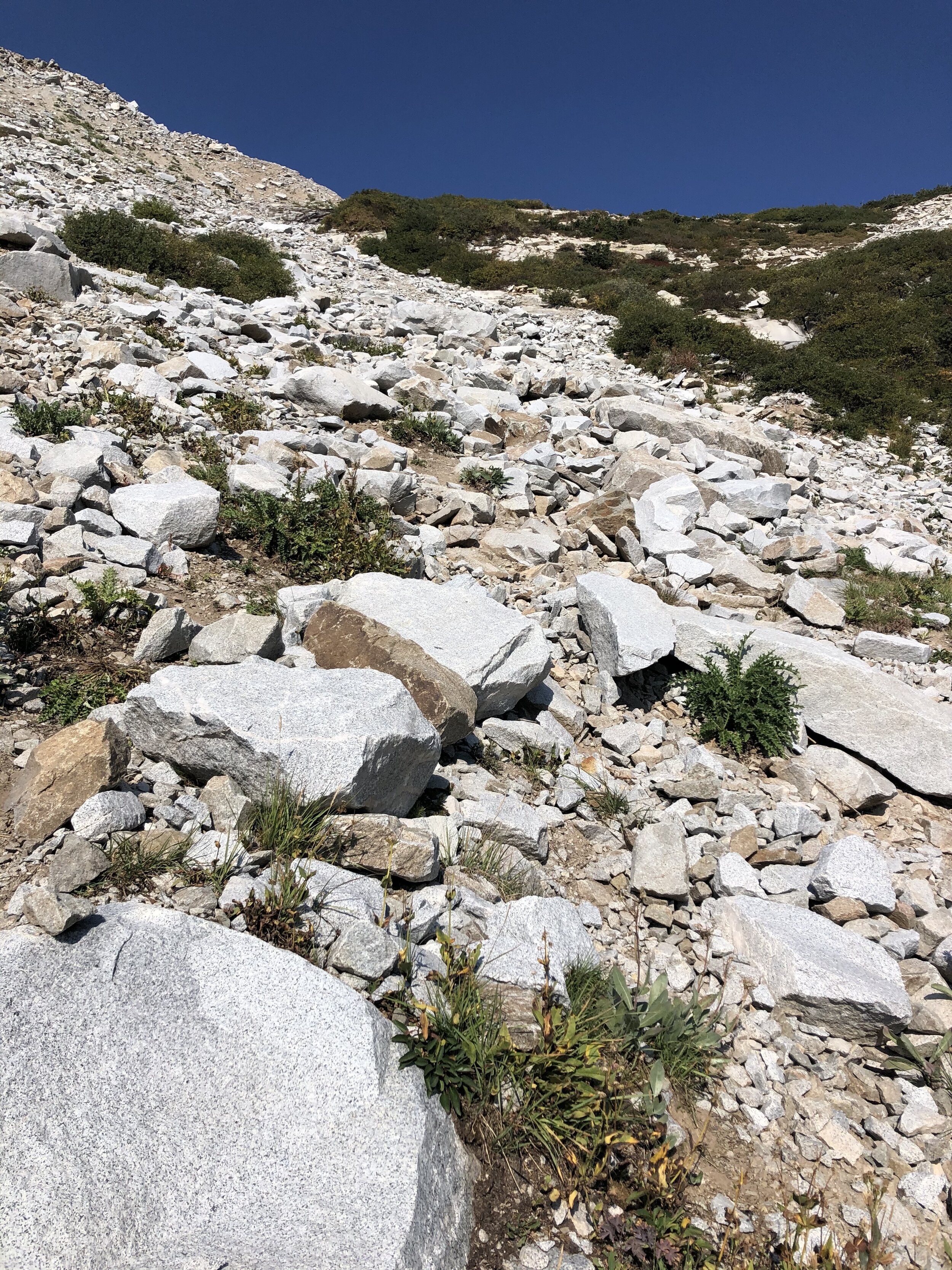
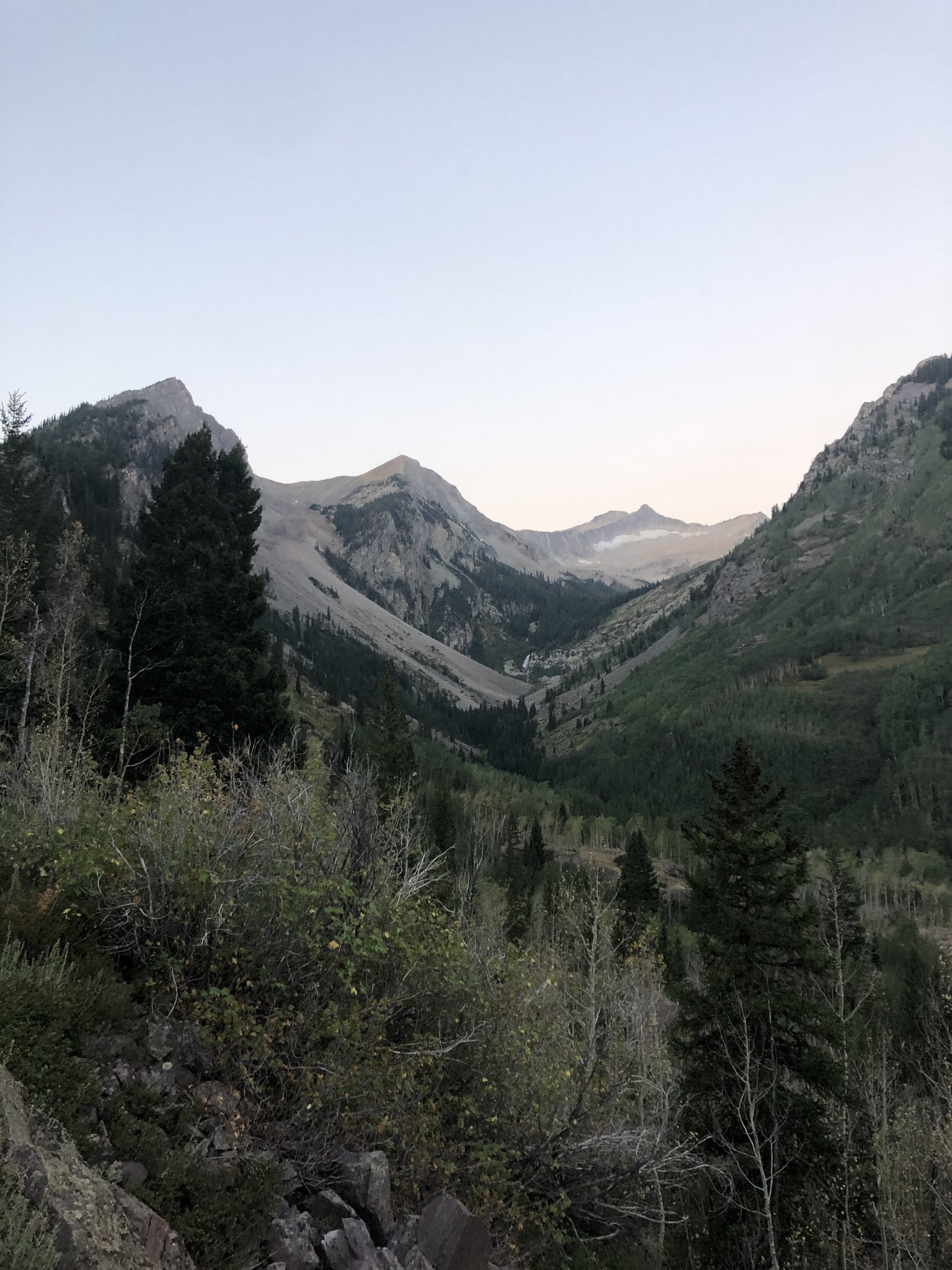
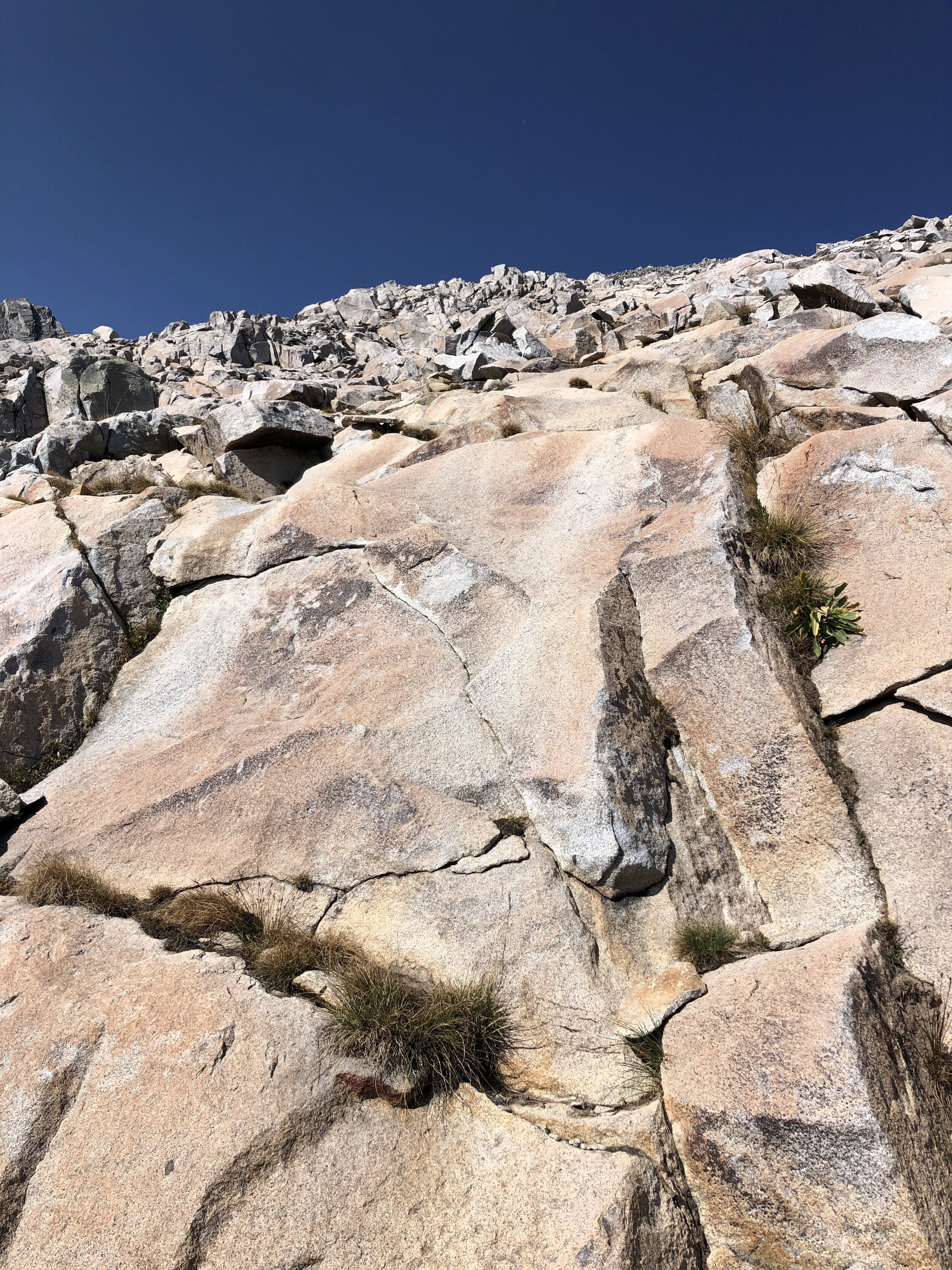
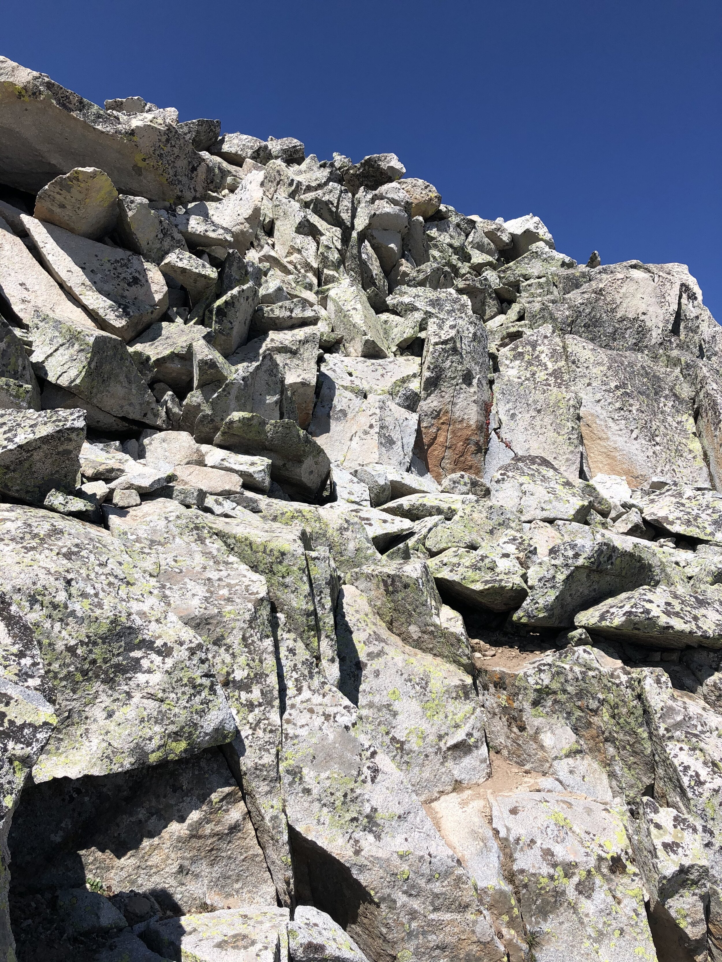
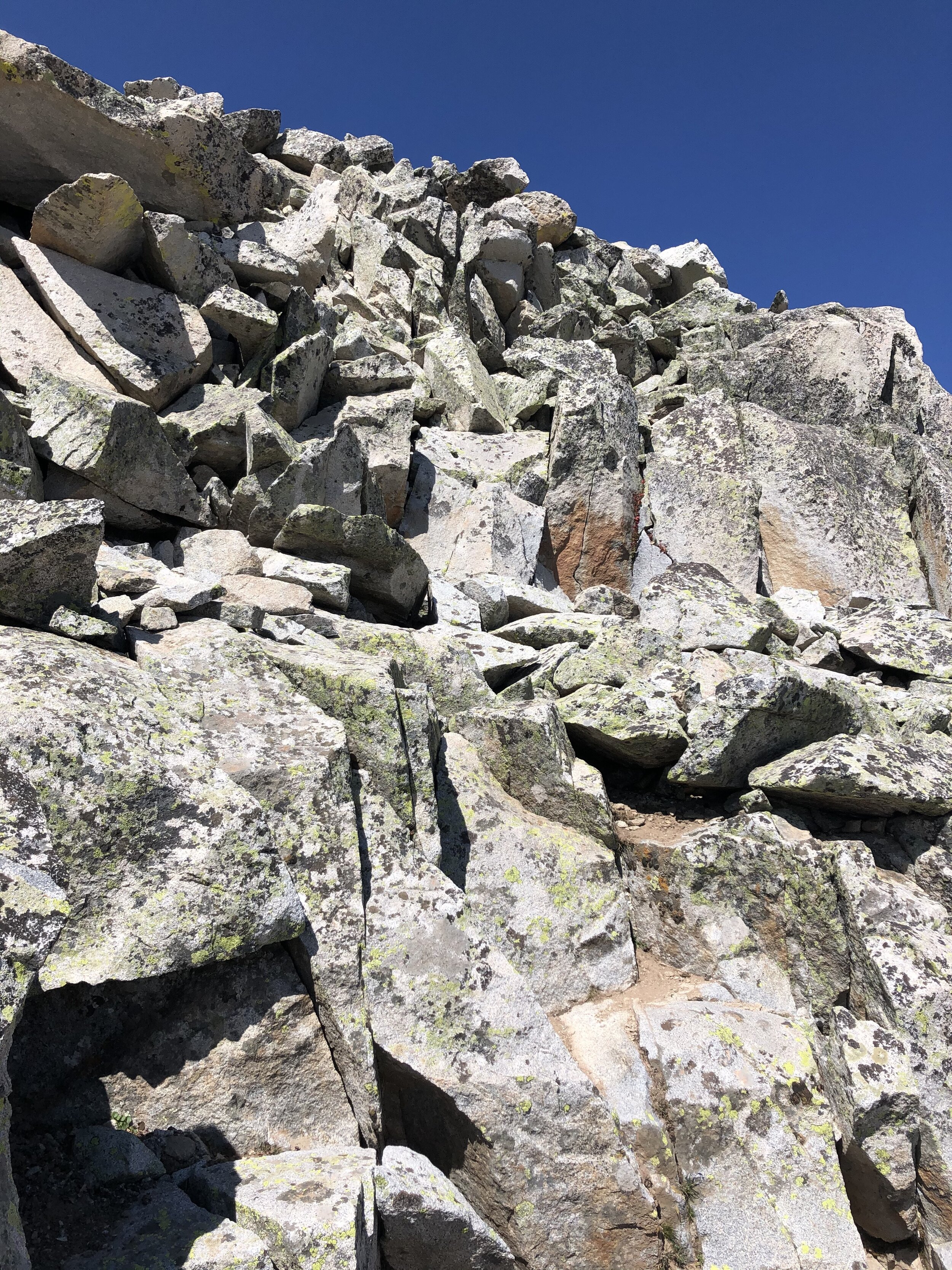
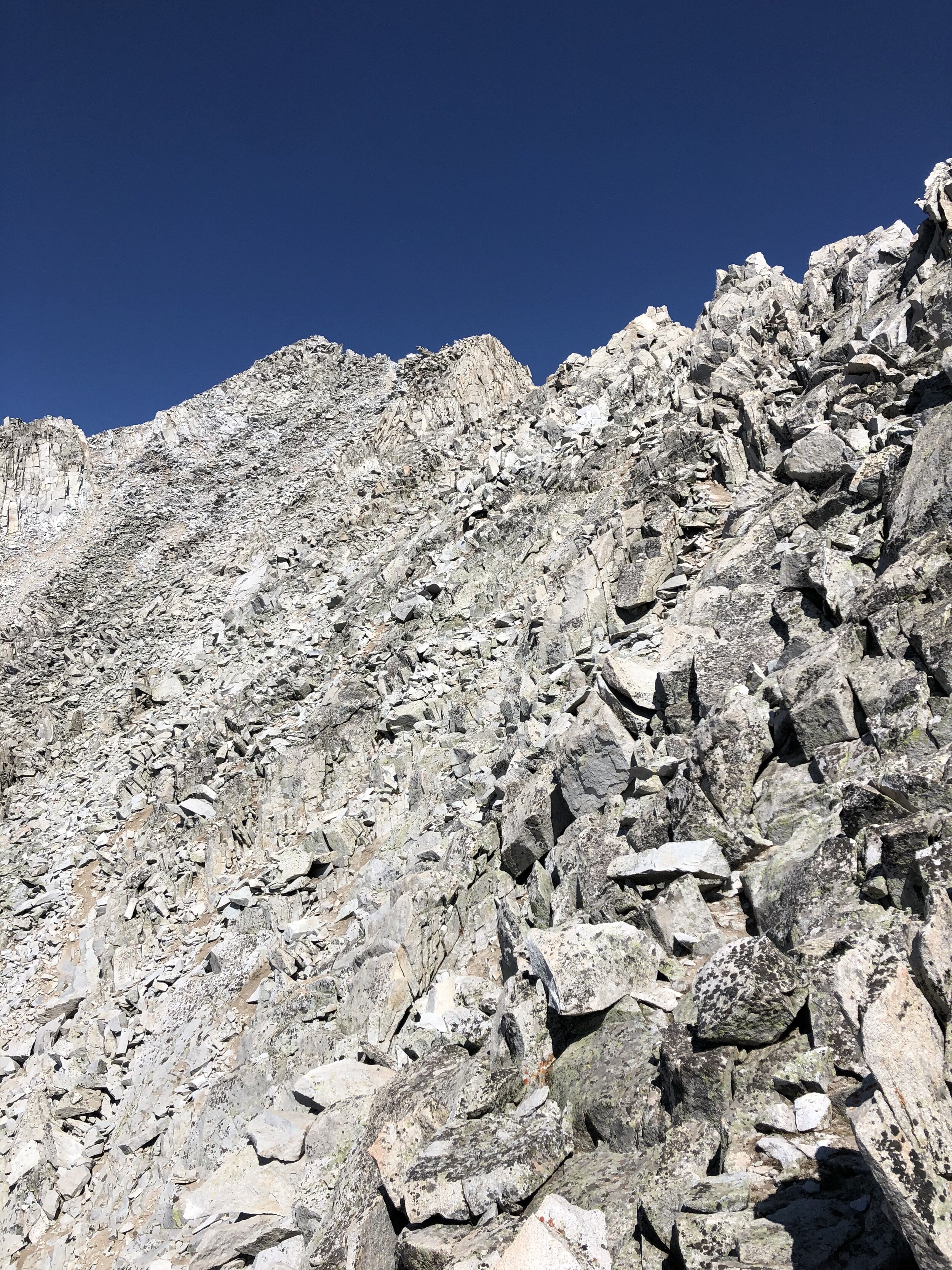
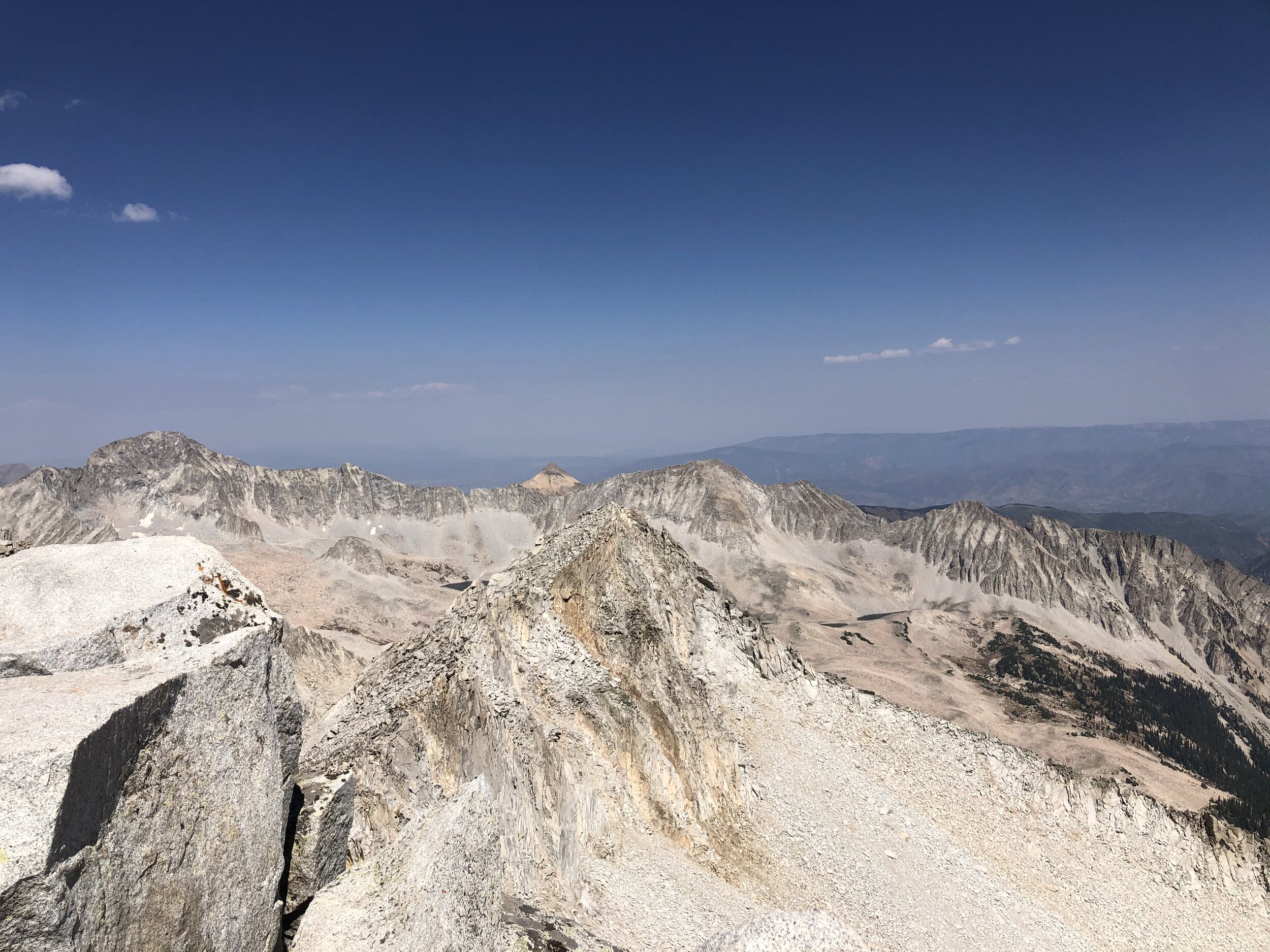
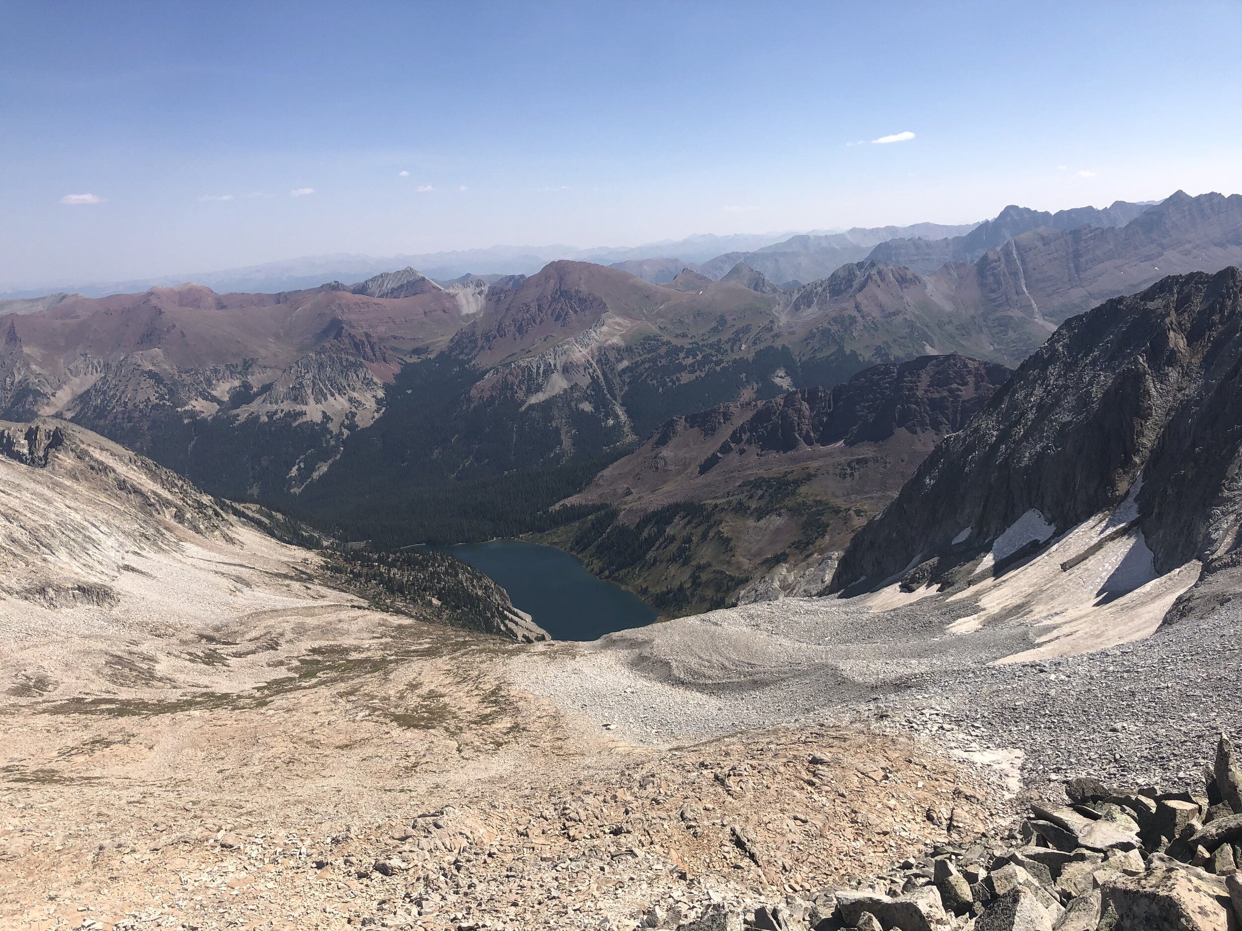
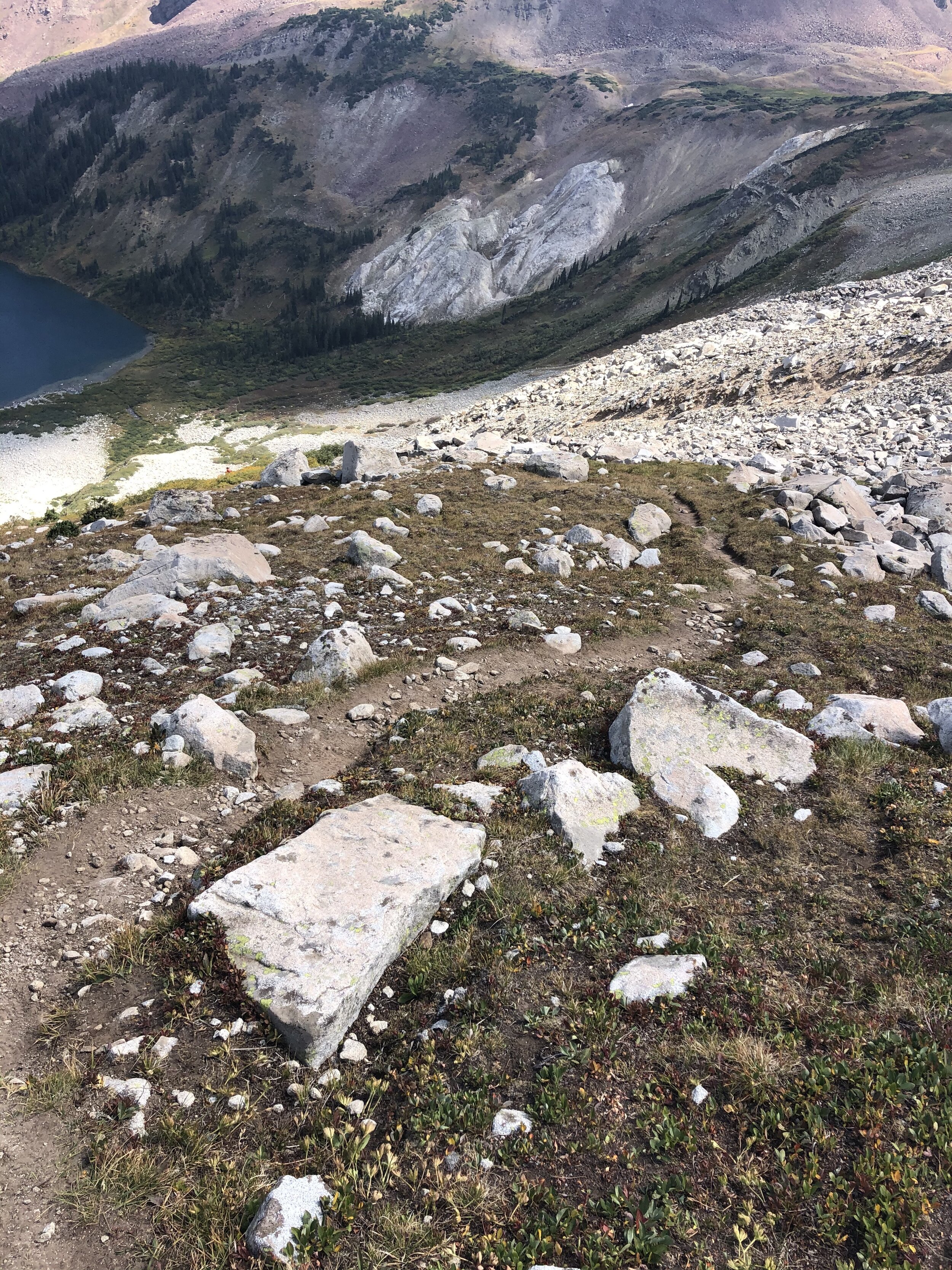
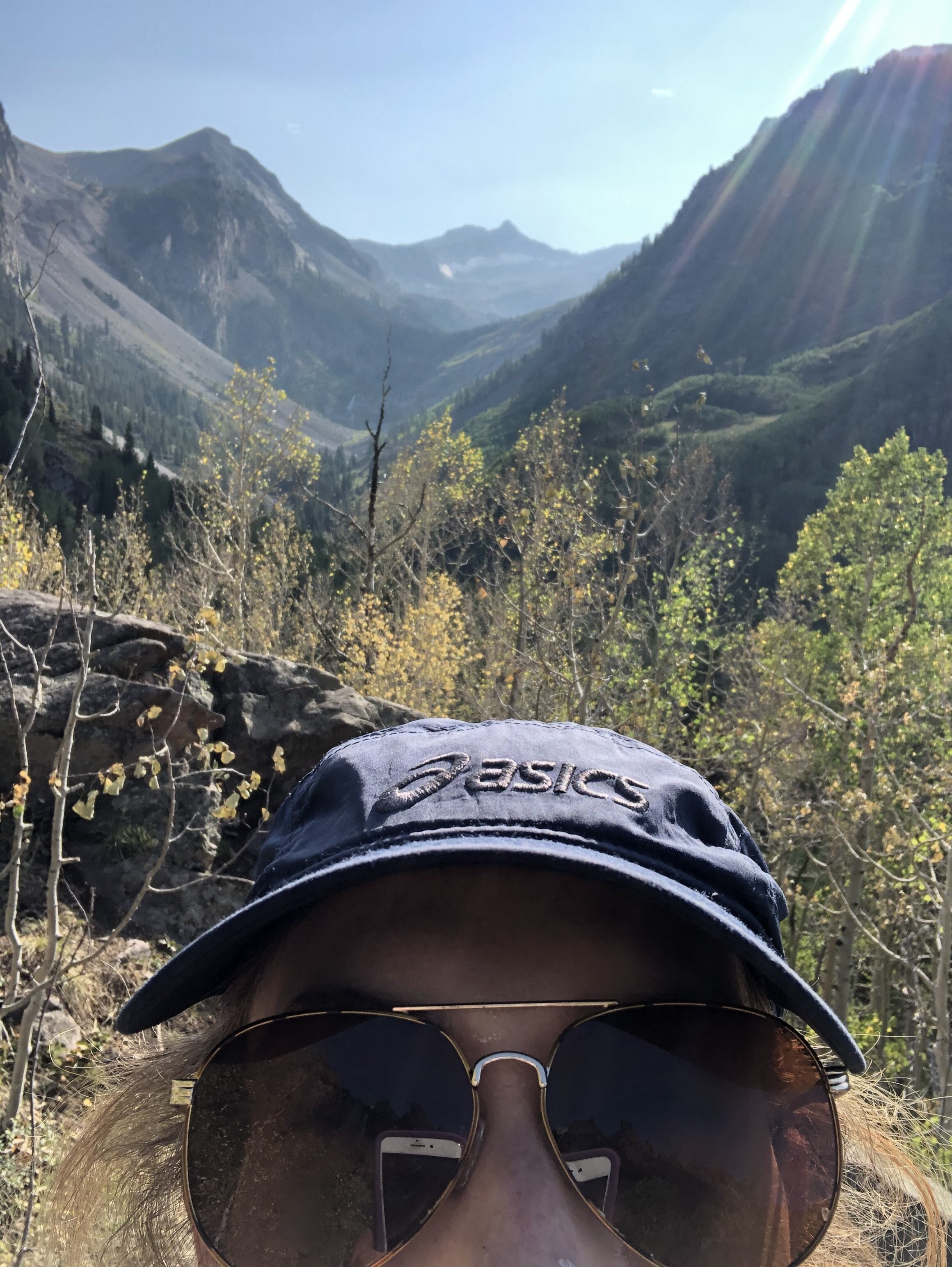
Around 12,000’ or so, the terrain turned grassy and rocky. There’s not really a route (at least that I could tell). It supposedly (I won’t know until I repeat this earlier in the summer…which probably will never happen but who knows!) is easier to get Snowmass with snow due to the loose rock and all. Anyways, I kind of just started making my way up. In the first picture below, the bump on the left is what I was aiming for to get on to the ridge and that right bump is Snowmass Mountain (so I would go across the ridge starting at that bump on the left to Snowmass).
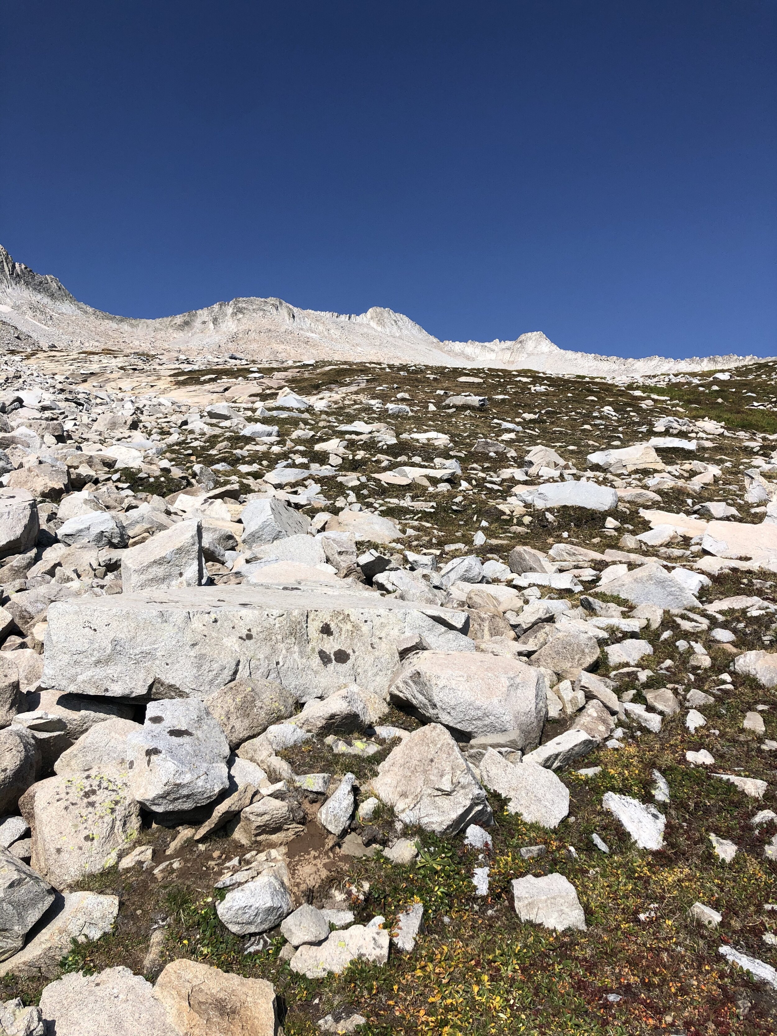
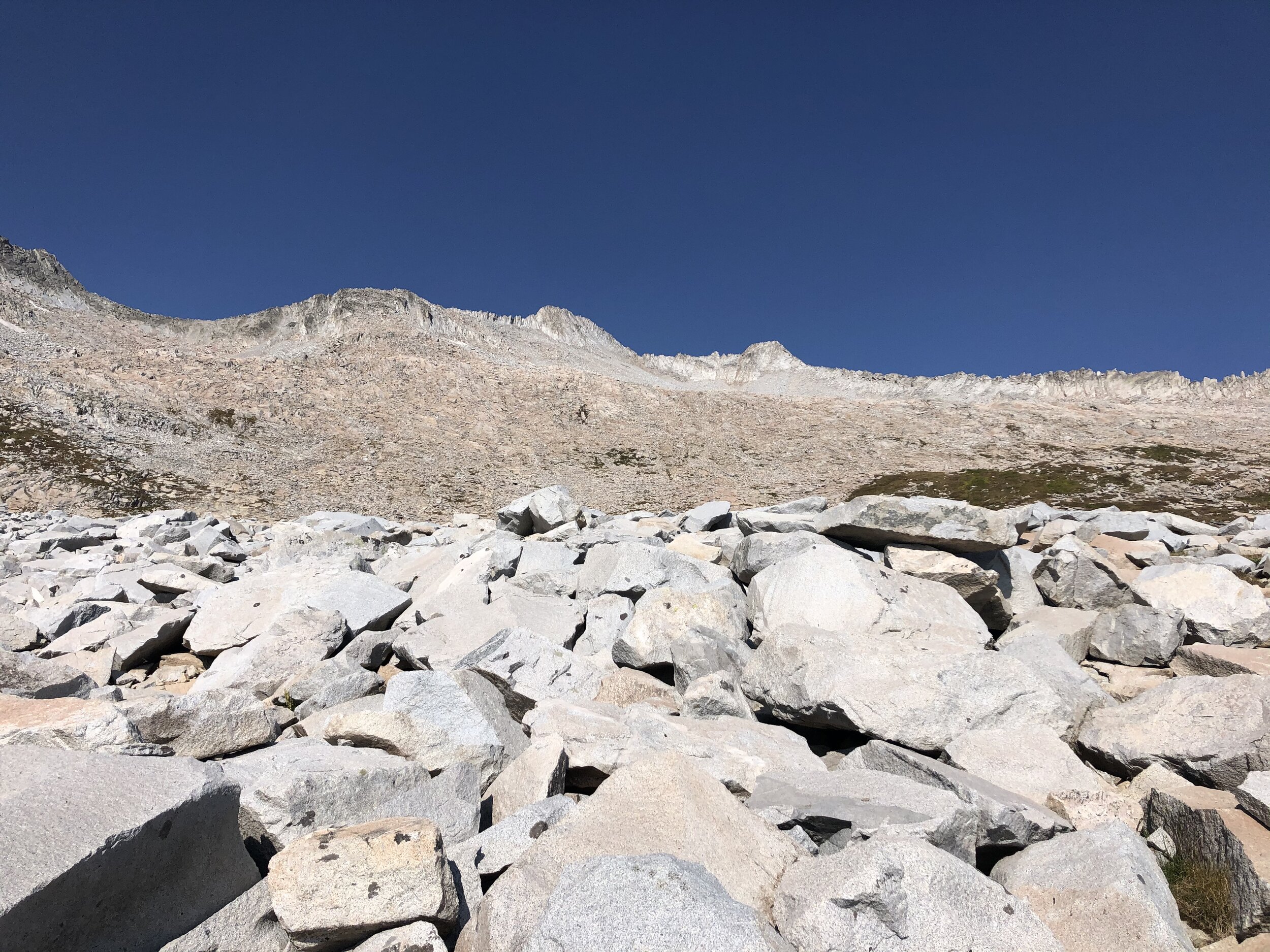
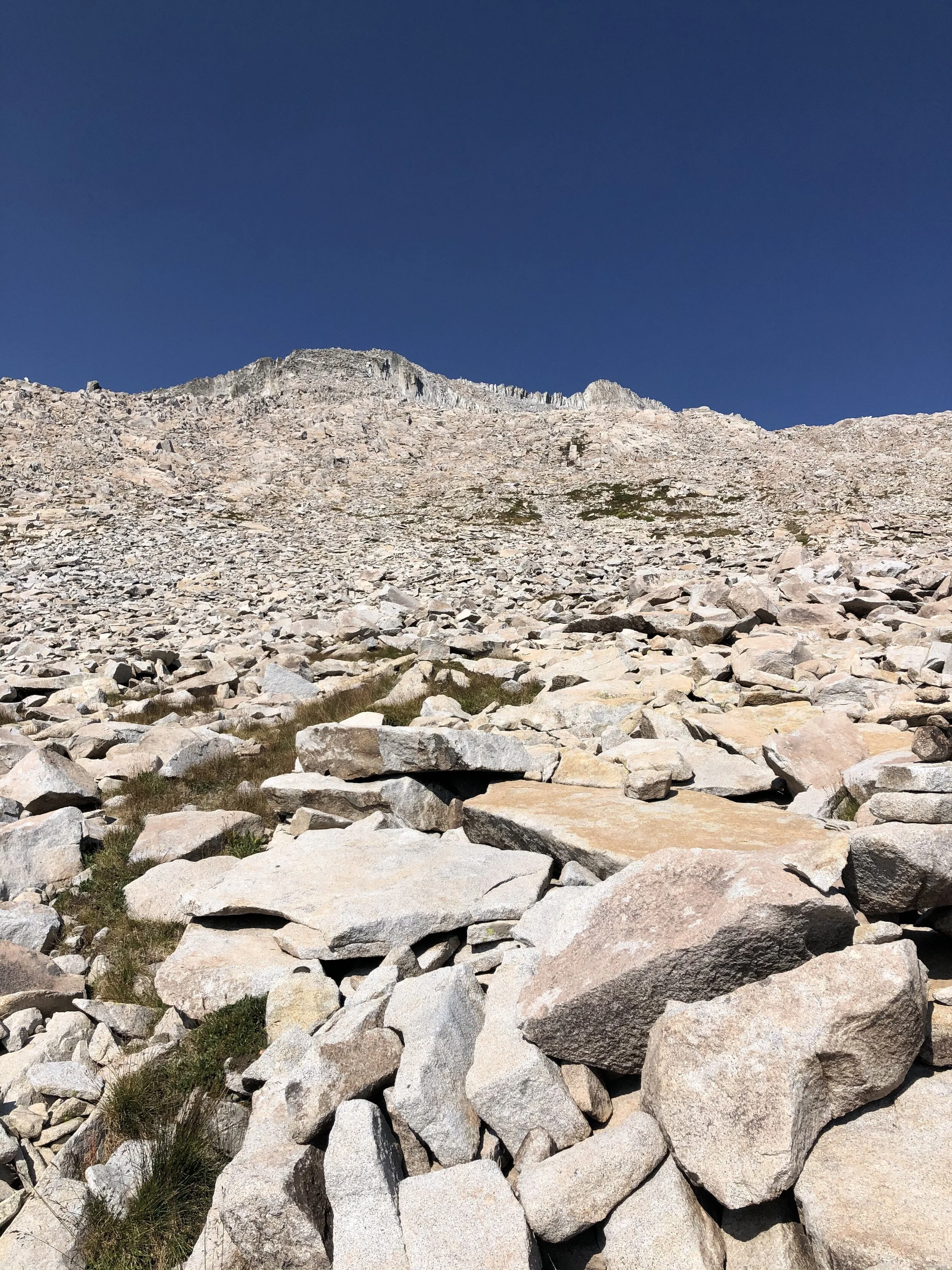
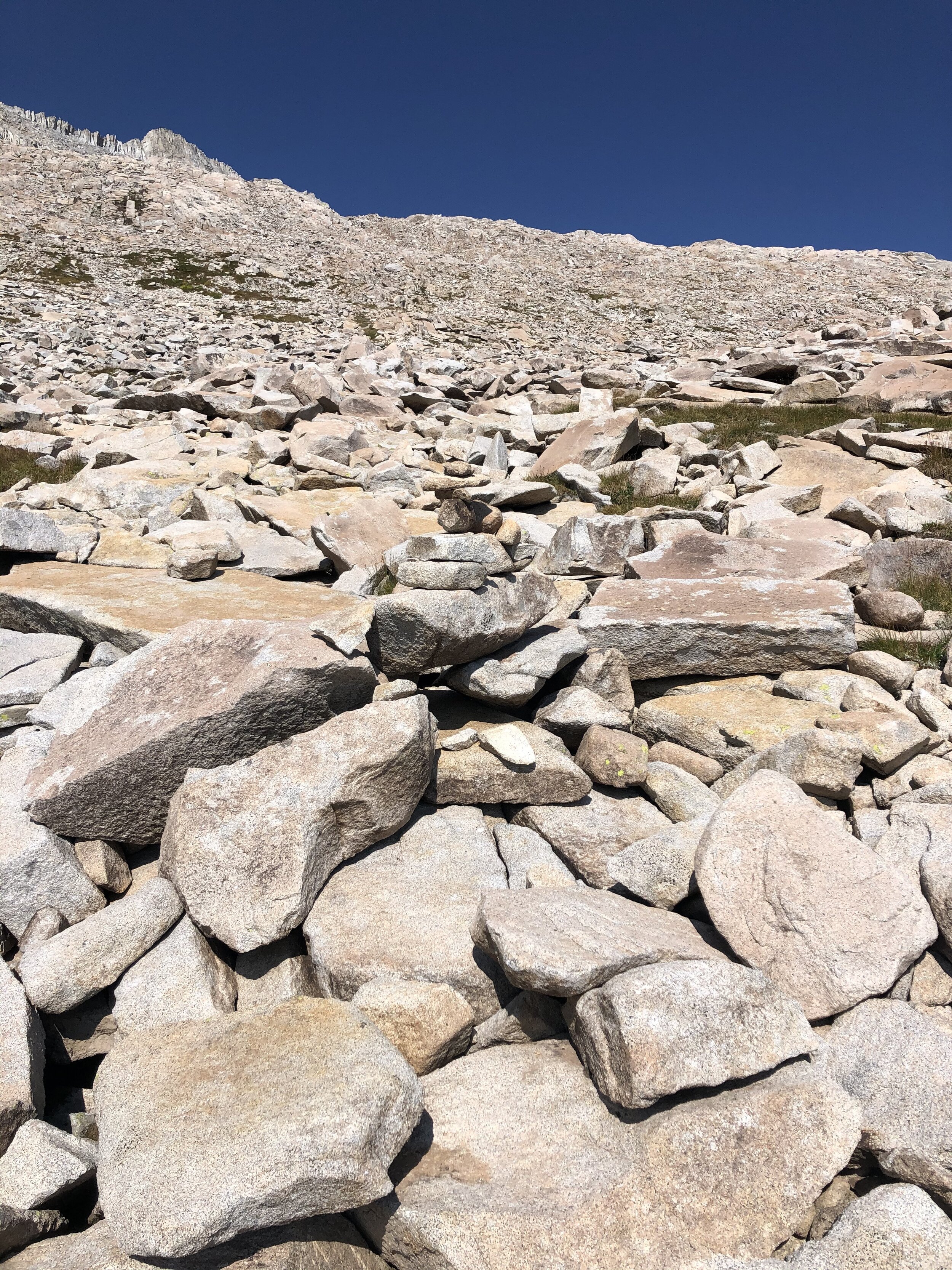
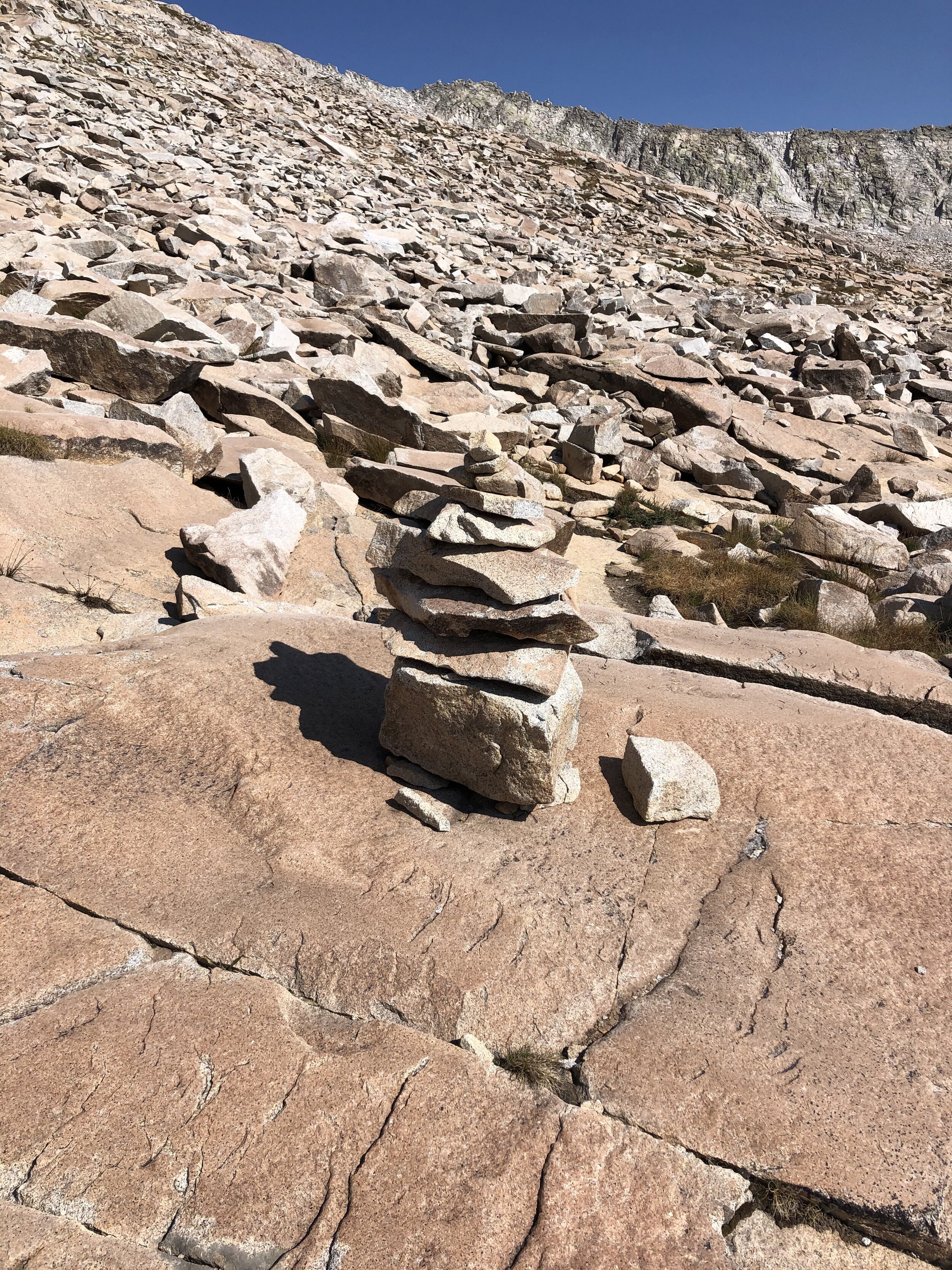
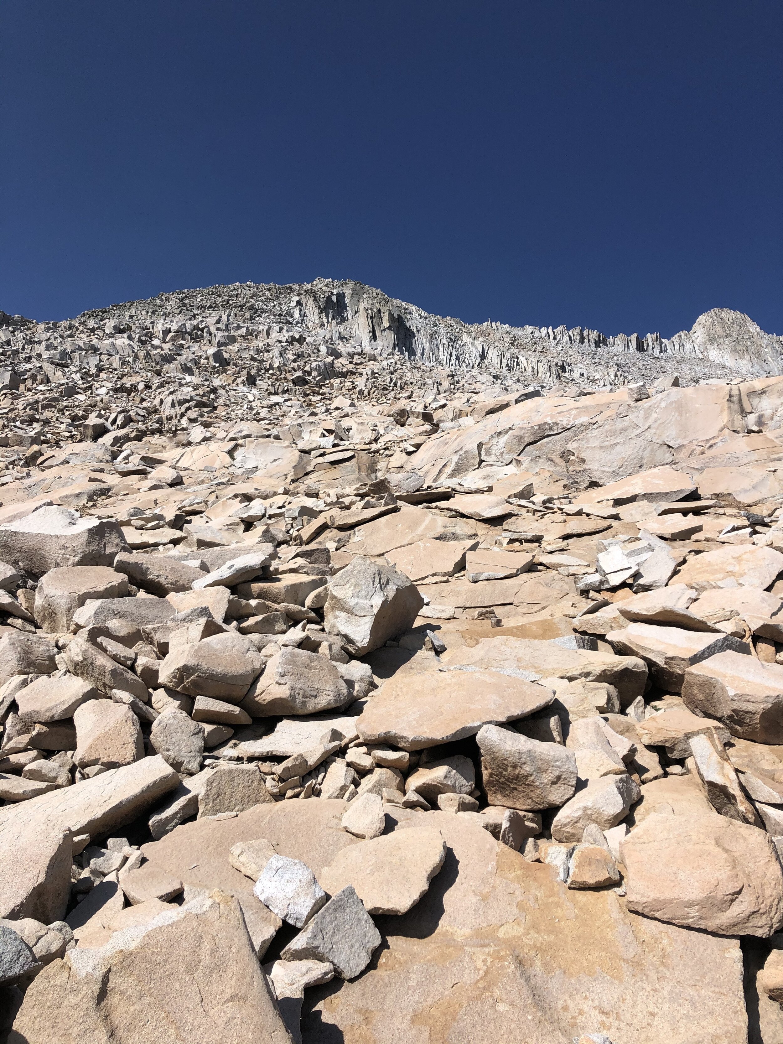
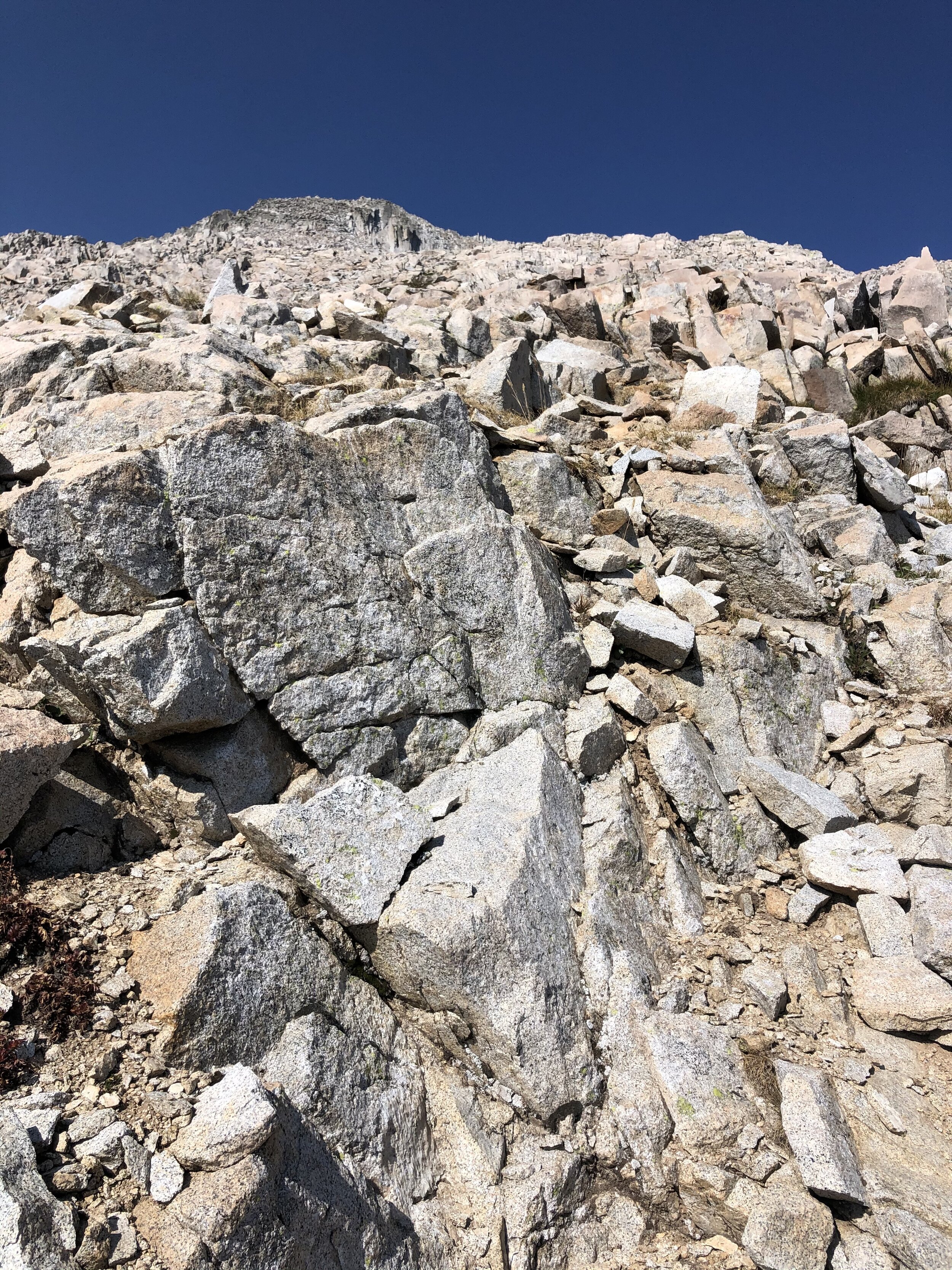
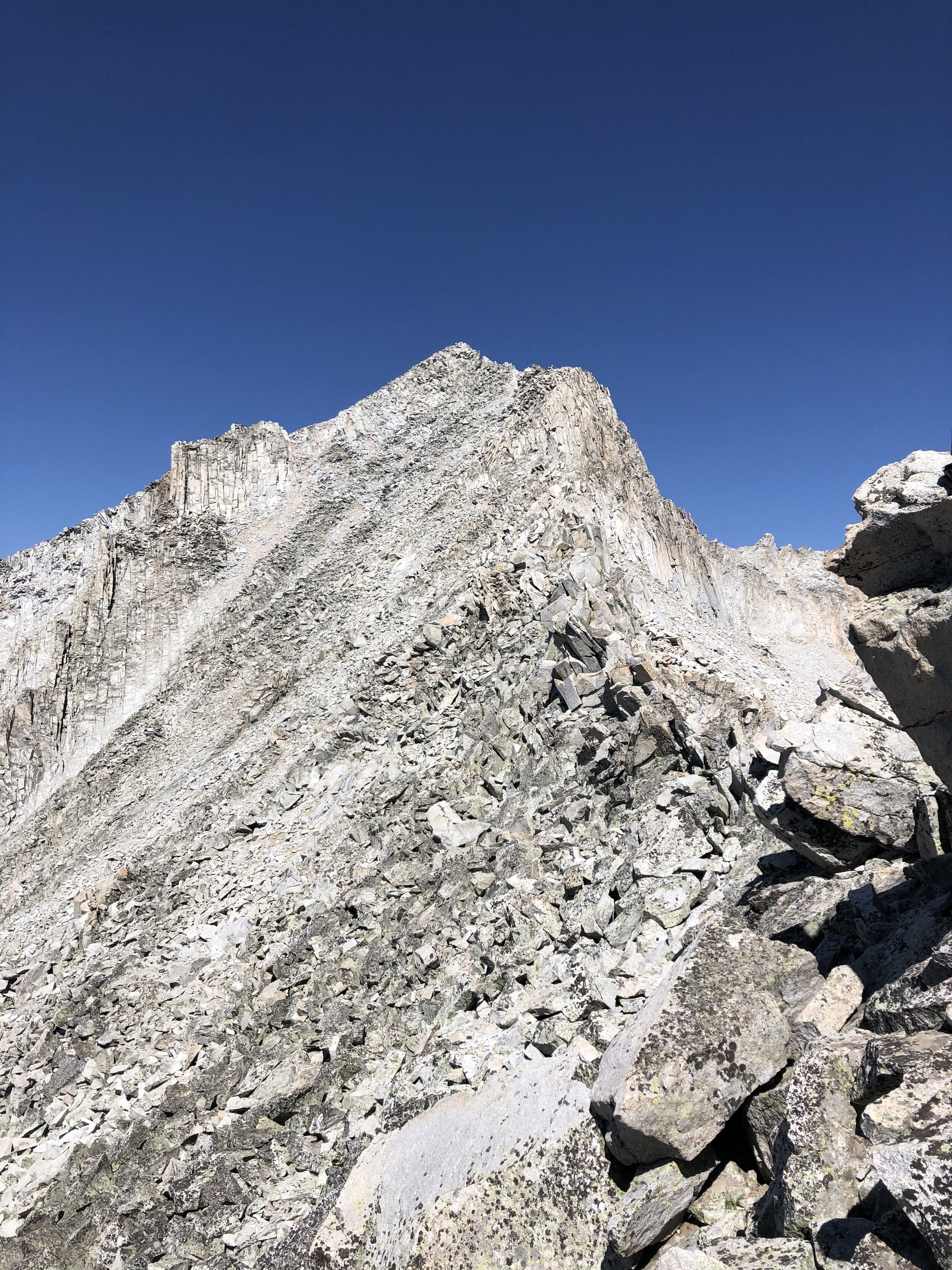
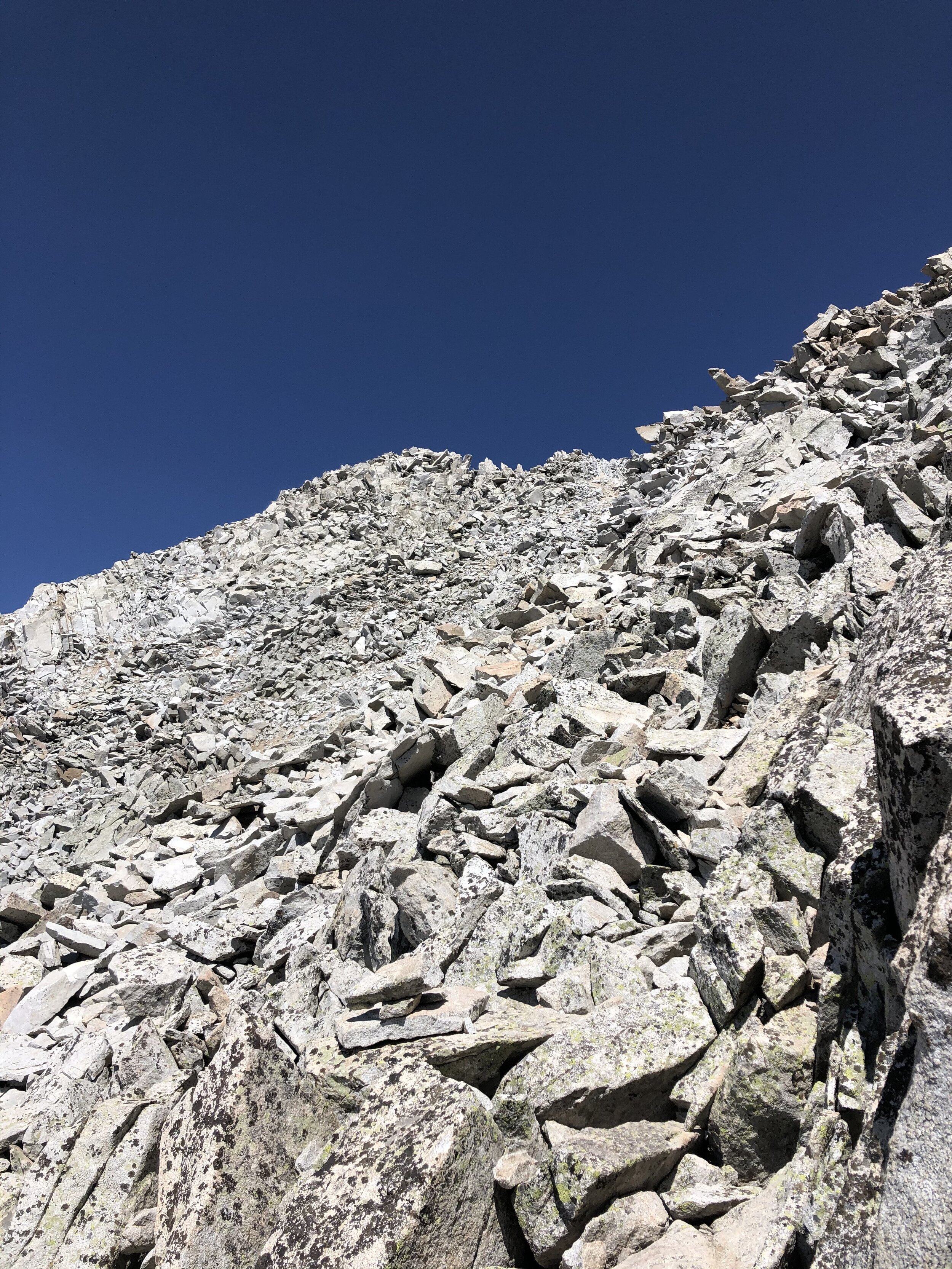
Soon enough, I started seeing some cairns…however, as I have wrote many times before, they are absolutely hit or miss whether they are helpful! Sometimes, it feels like someone is like “Haha, let’s screw with some random people >:)”. Based on my knowledge of Snowmass (I actually researched this one a lot before committing to it), I angled to the right for awhile before going directly towards that bump on the left that I mentioned in the above paragraph. The rock was certainly loose from now up until the summit. It felt like a game trying to decide the route to take and to safely determine if a rock was safe to step on or touch. Here’s a lot of pictures up until the ridge that I mentioned.
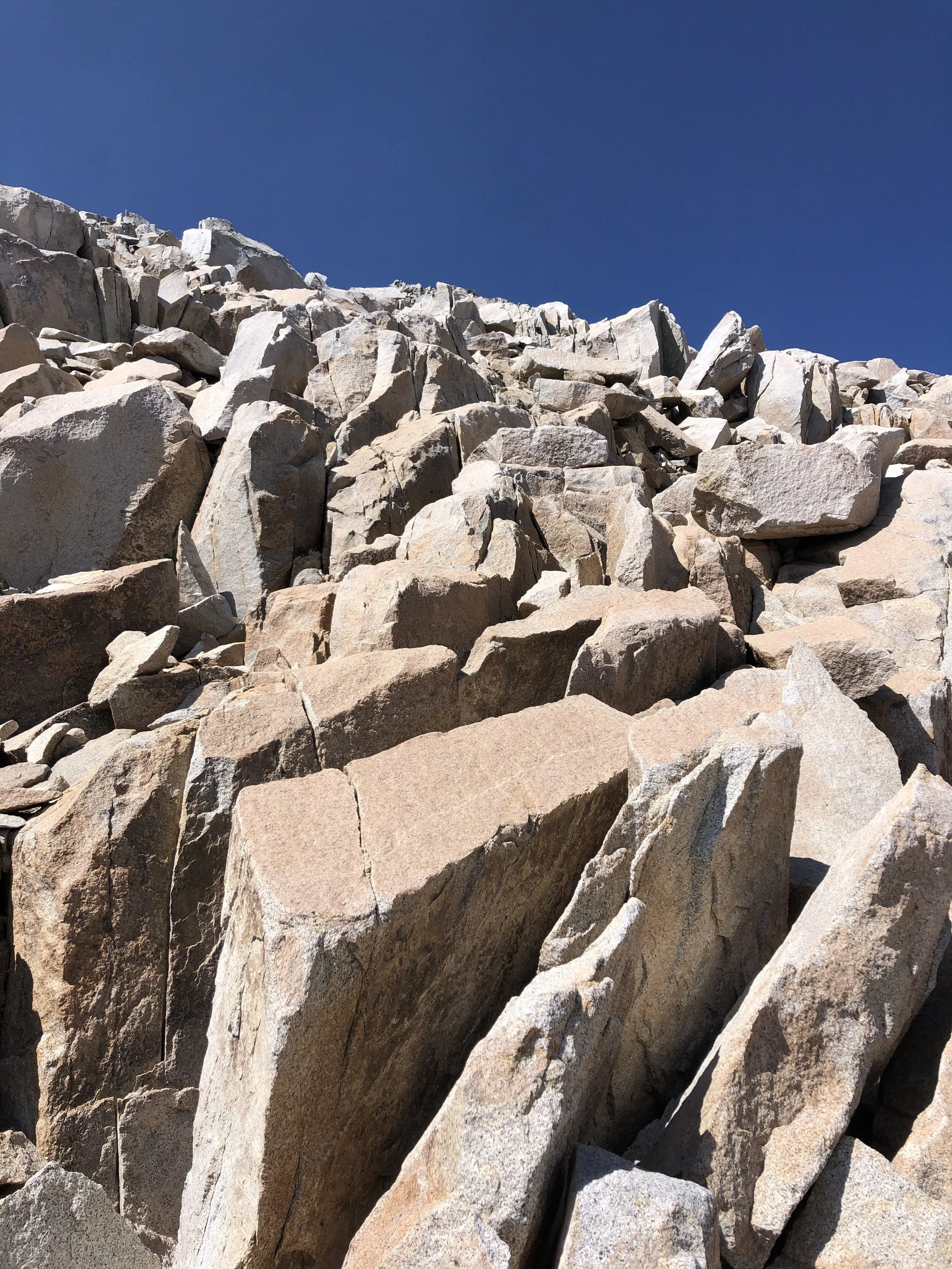

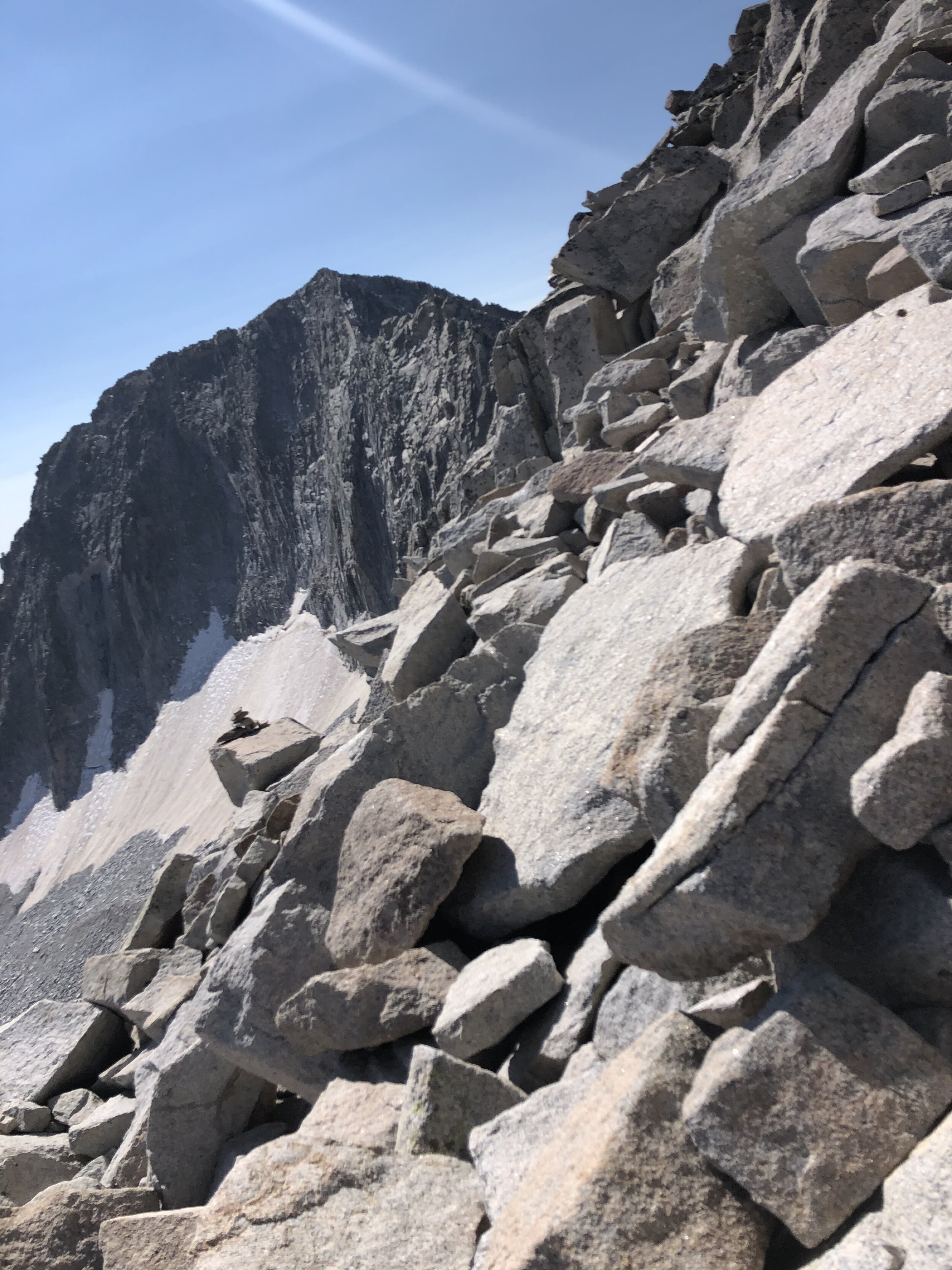
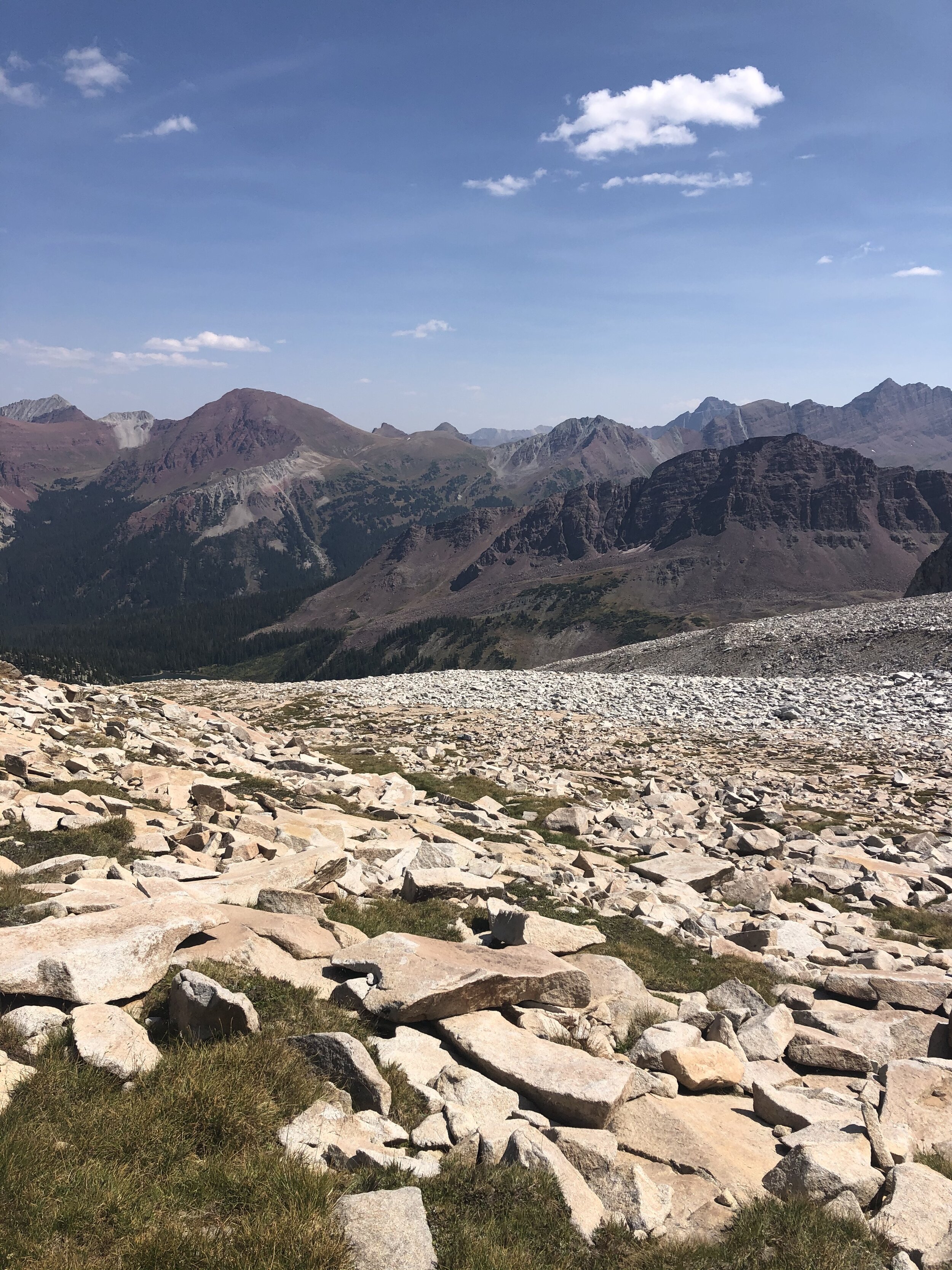
So, the stats when I got to the ridge were 12.56 miles, 7 hours and 10 minutes, and 13,731’ elevation. I had less than 400’ elevation to gain! The rock was again loose but I just took my time and stayed higher up on the left side of the ridge where it was more stable.
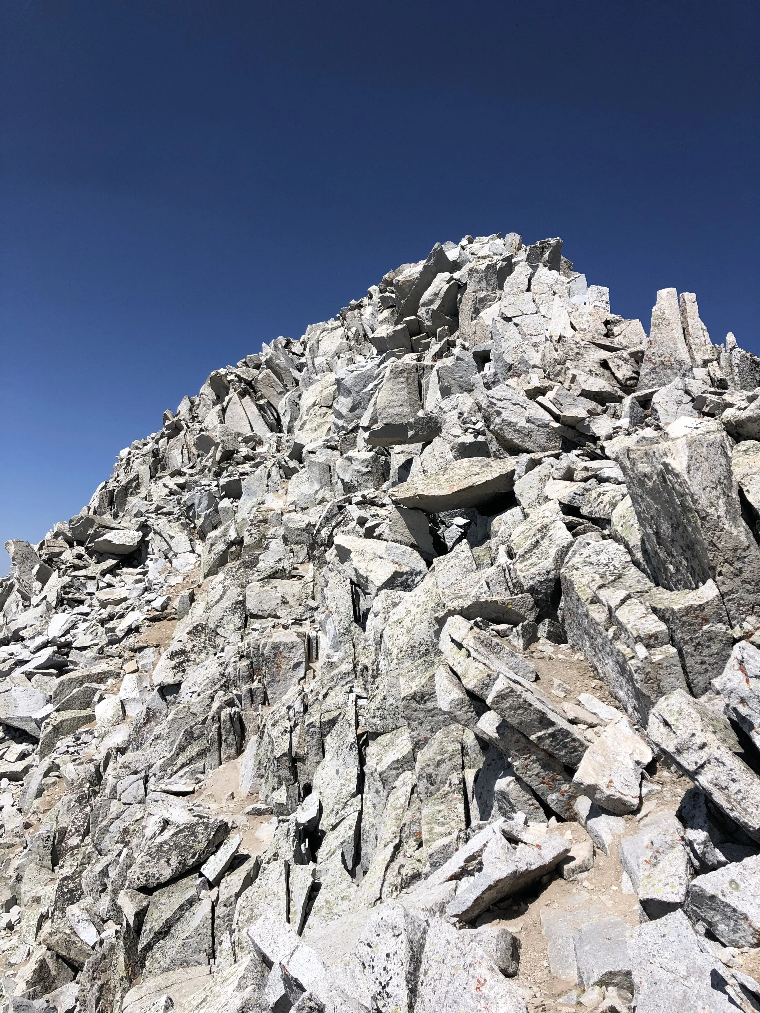
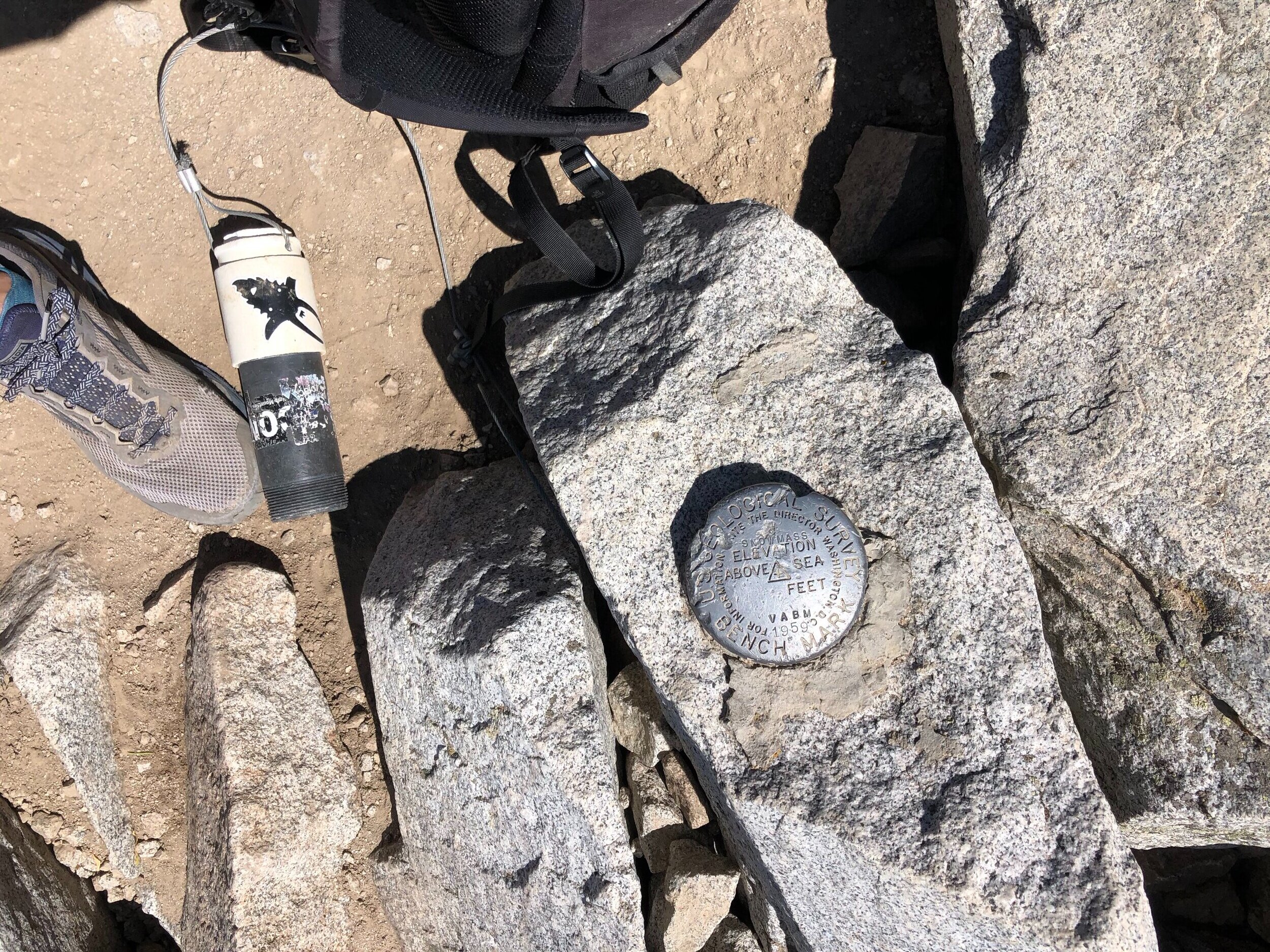
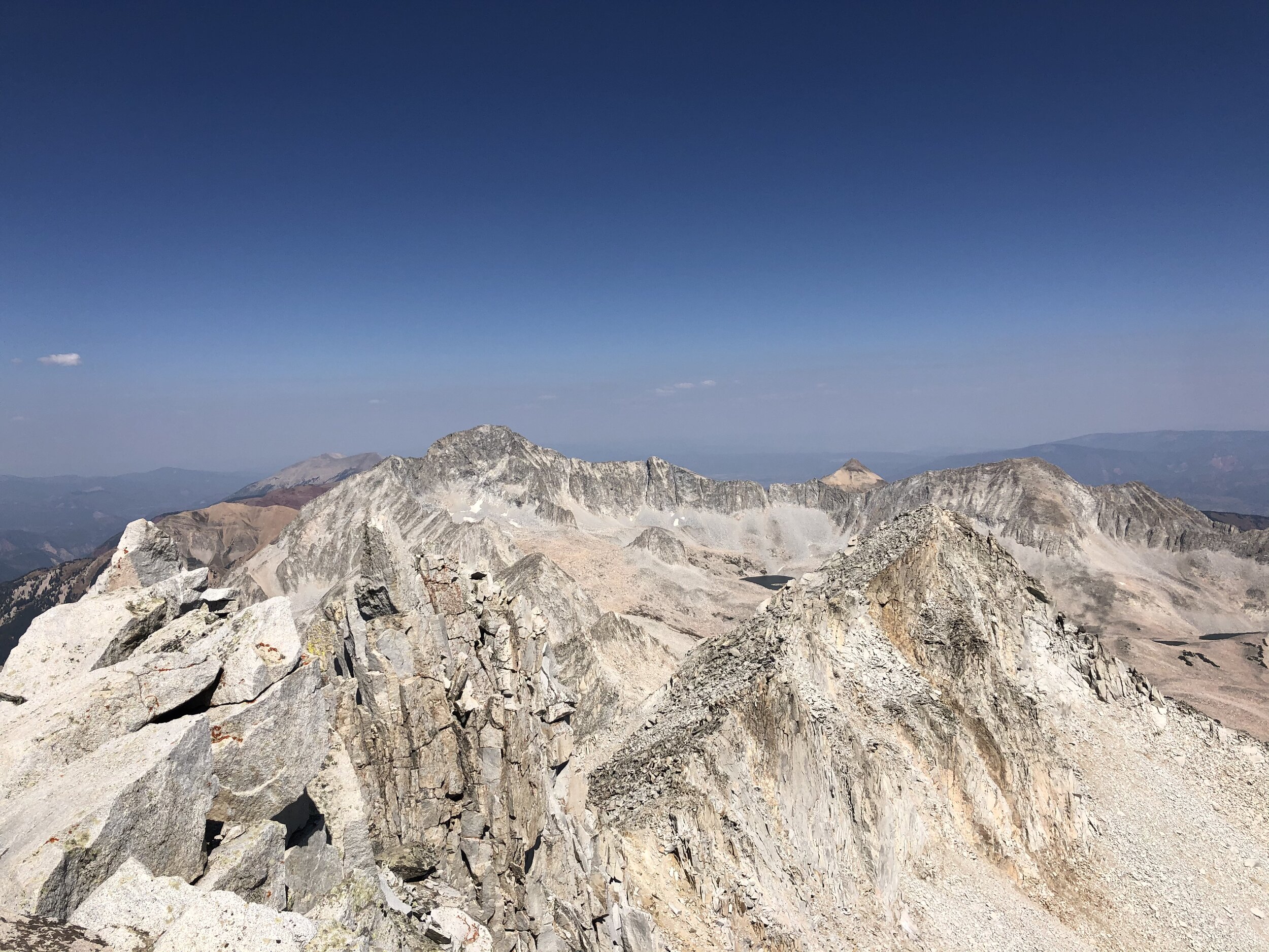
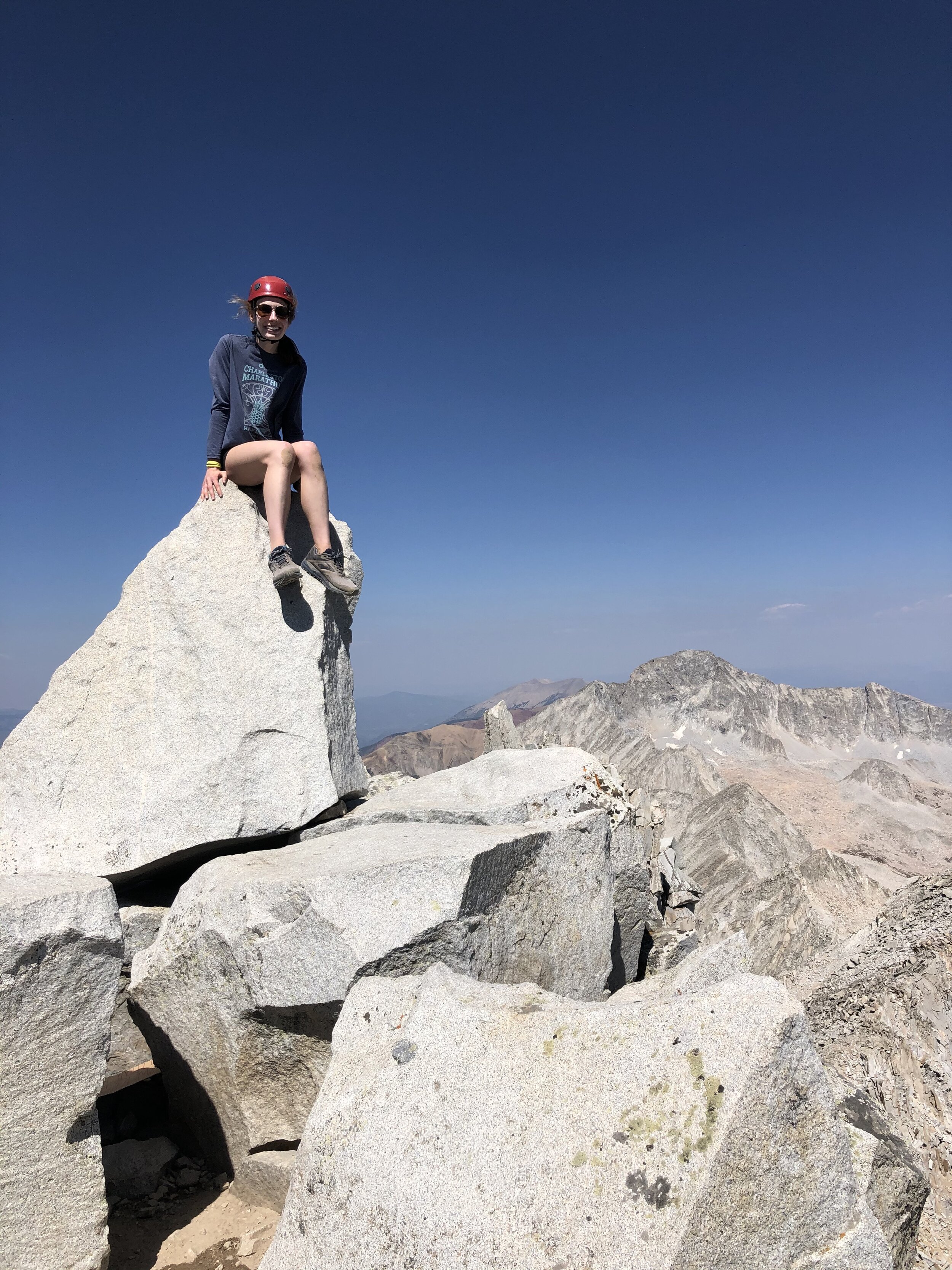
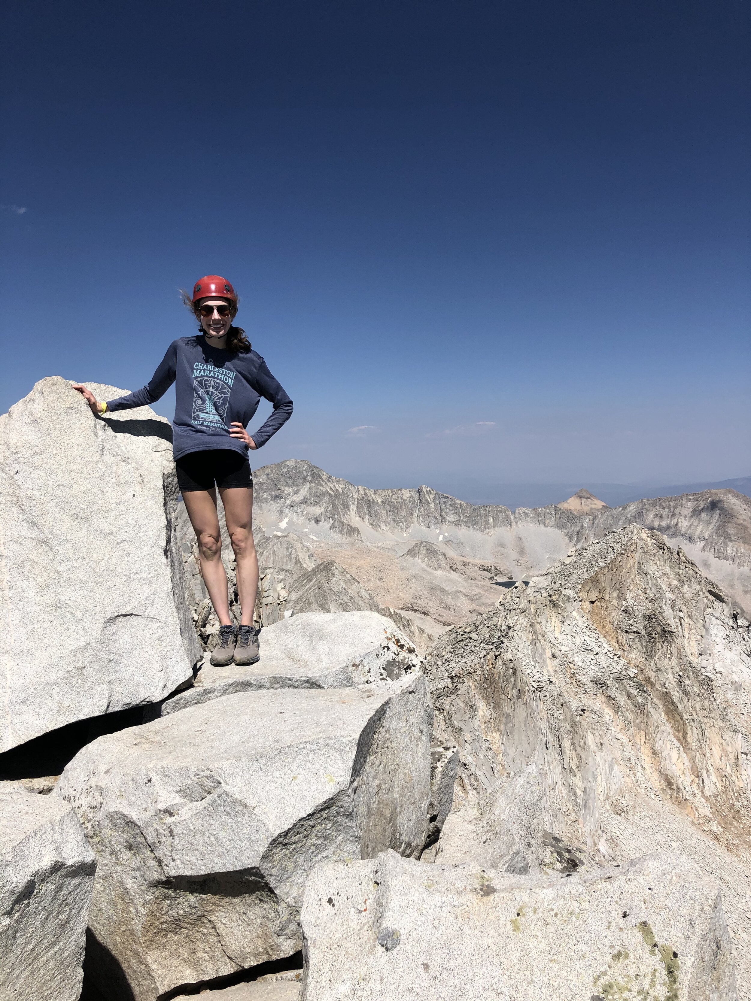
It took me 7 hours and 36 minutes/12.88 miles to reach the 14,092’ summit of Snowmass Mountain! I stayed up at the summit for 35 minutes. I was the only person up there when I first got there; however, some people came a little bit later. I was super happy because the summit pictures that I got are some of my favorites yet. You technically do not have to get up on that rock to officially summit Snowmass; however, I always saw pictures of it and wanted to! Some people stand up on it…which I would not do unless I maybe had a spotter…too dangerous…already enough excitement soloing Snowmass haha. Another reason that I love these pictures is that Capitol Peak is in the background (to the right) of my summit pictures!! Anyways, I left the summit eventually because I had many hours to go and a 4 hour drive or so back to the Springs.
It took me 23 minutes to descend from Snowmass back to the point where I got on the ridge.

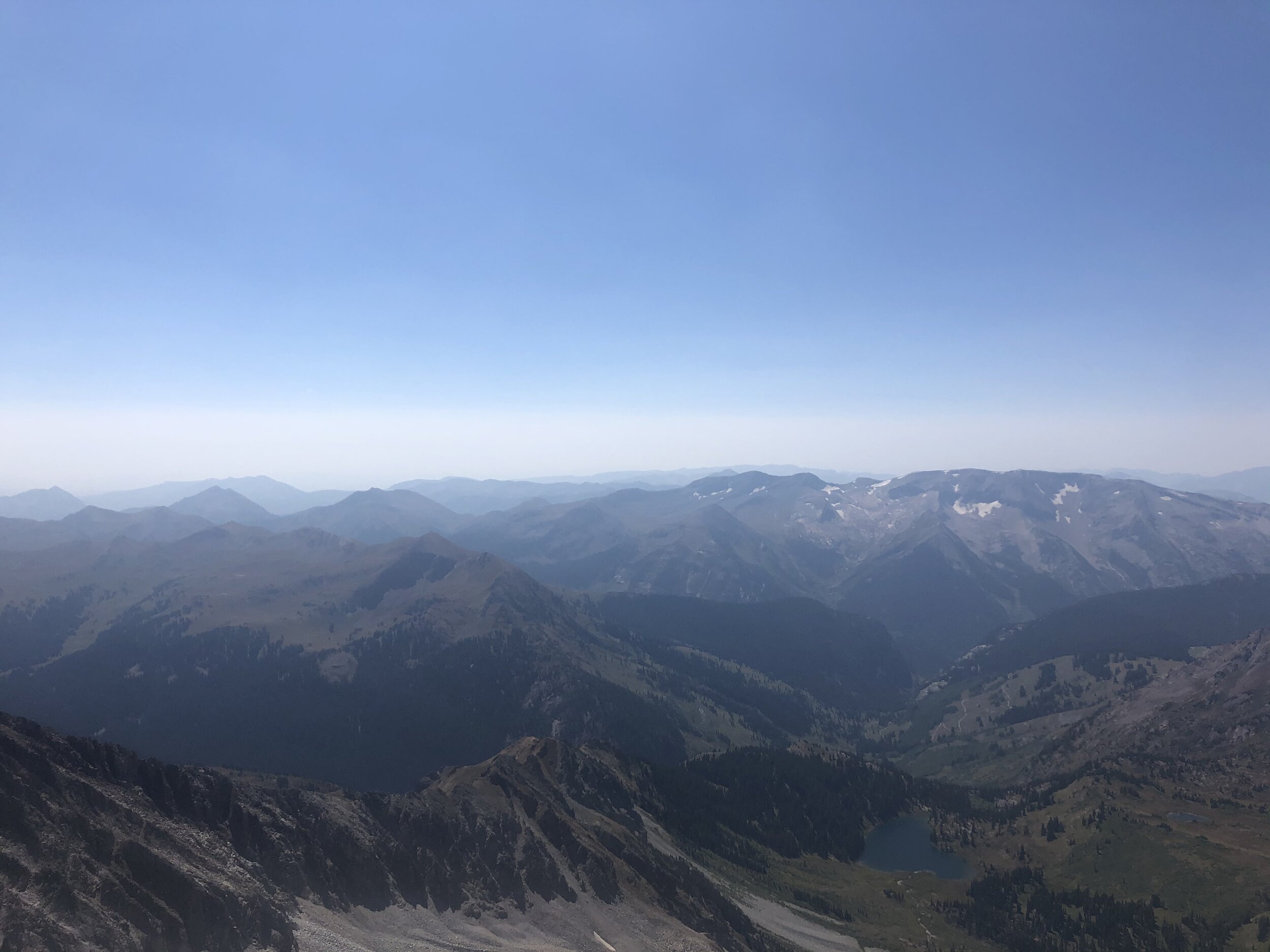
The next 2 hours of the hike I had to be alert af because it was loose and steep. I did get some cool views from high up of Snowmass Lake, so that was nice! I only had a couple mini scares stepping on a loose rock. On one of them, I kinda fell (it was flat basically) and hit my shin hard. It hurt a bit in the moment but it is finally not bad a week later (I slacked on this post and am typing it up a week later…hehe). I decided it would not be smart to eat and hike during this portion, so I stopped to eat/ate on the grassy section where it wasn't loose.
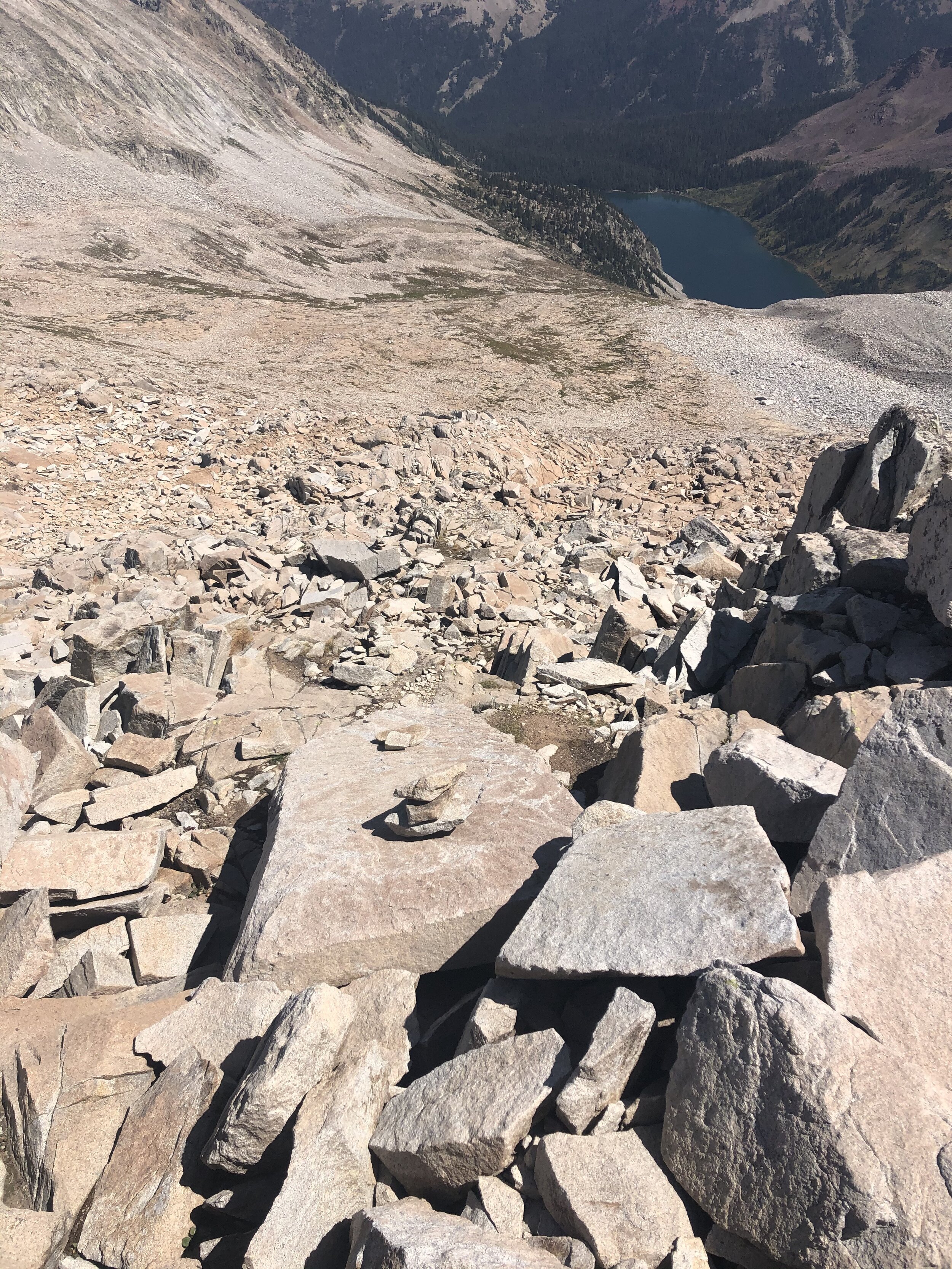
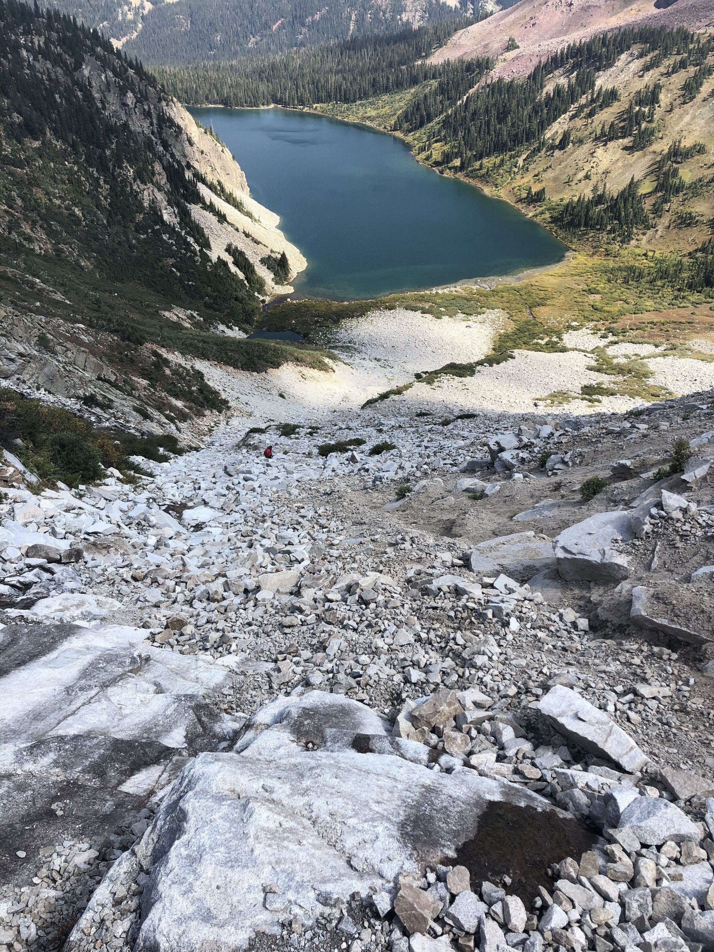
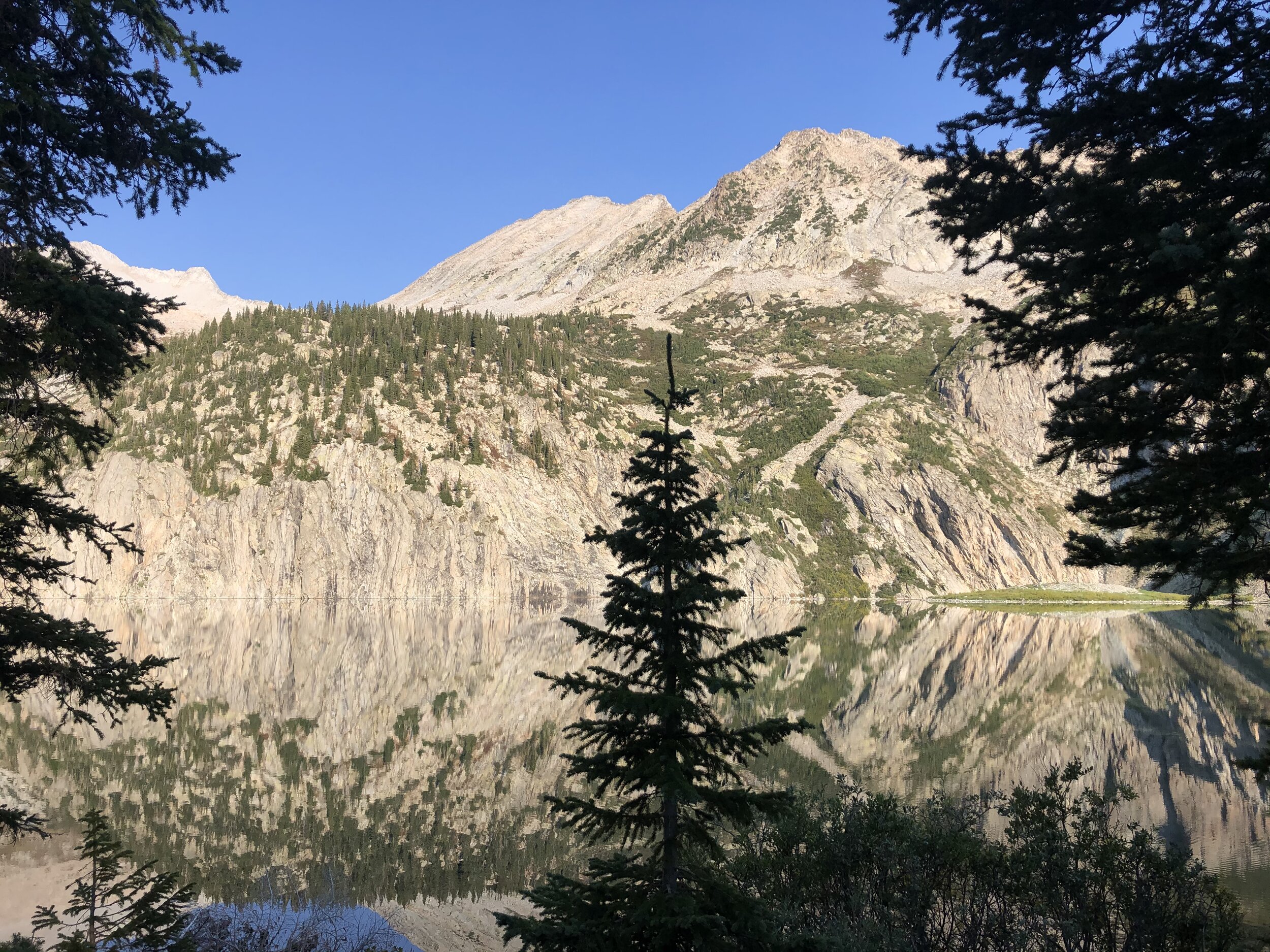
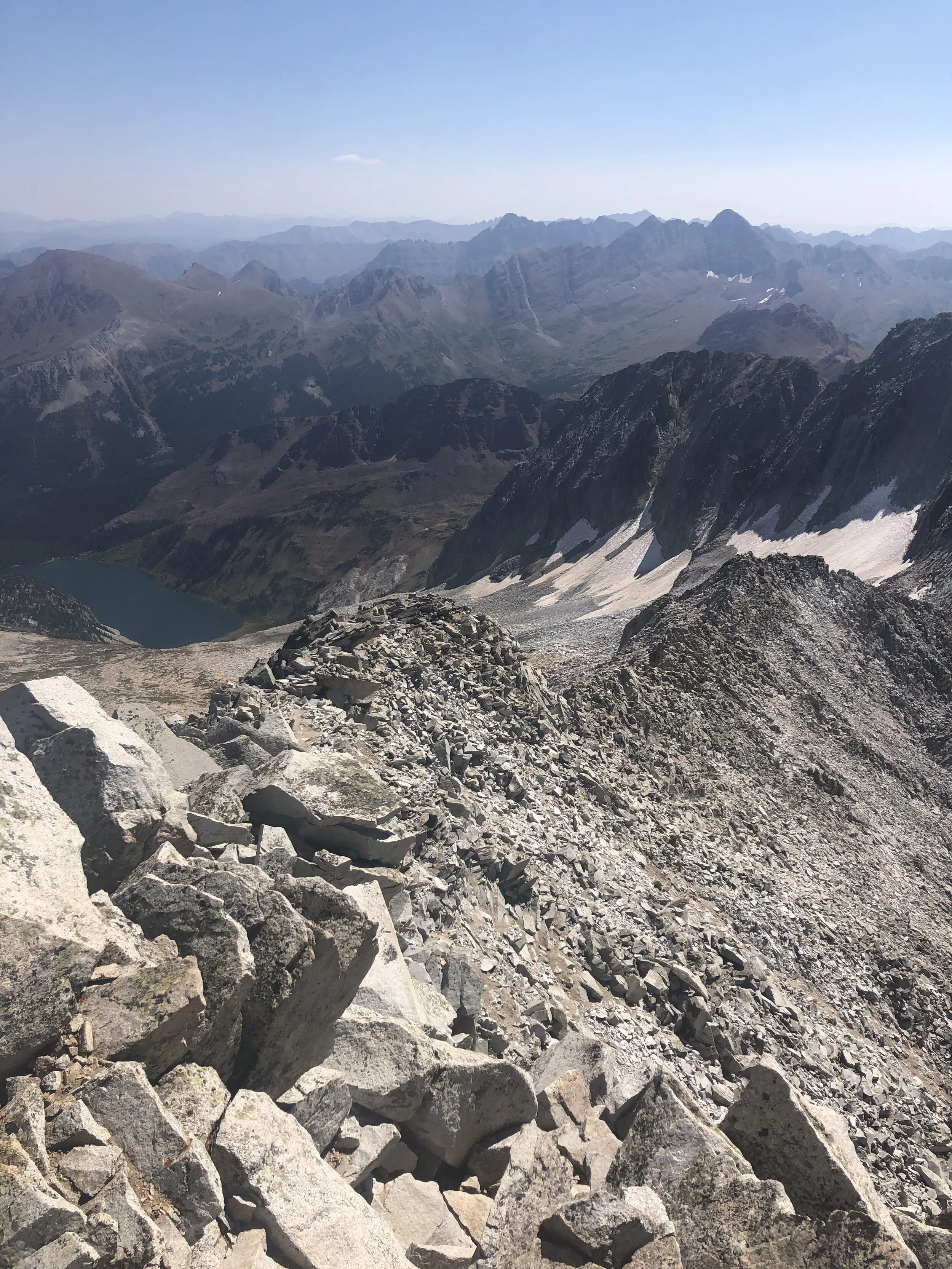
At the bottom of that large boulder field/literally right before the willows (10 hours and 23 minutes/14.87 miles), I took a break to get resituated…this consisted of taking my helmet off, filling my main water bottle back up, putting on sunscreen, etc. This would be my last main break. Anyways, the trail through the willows was so much easier to follow on the way back. I can estimate that I was off the correct willow trail for probably half of the time on the way up. Snowmass Lake is gorgeous as you can see.


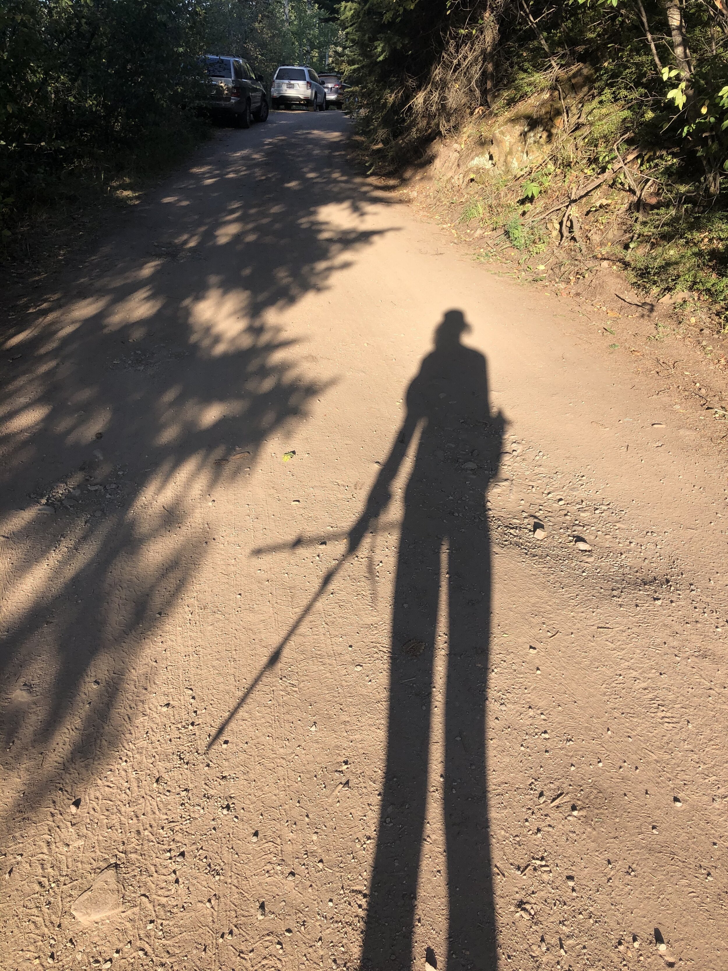
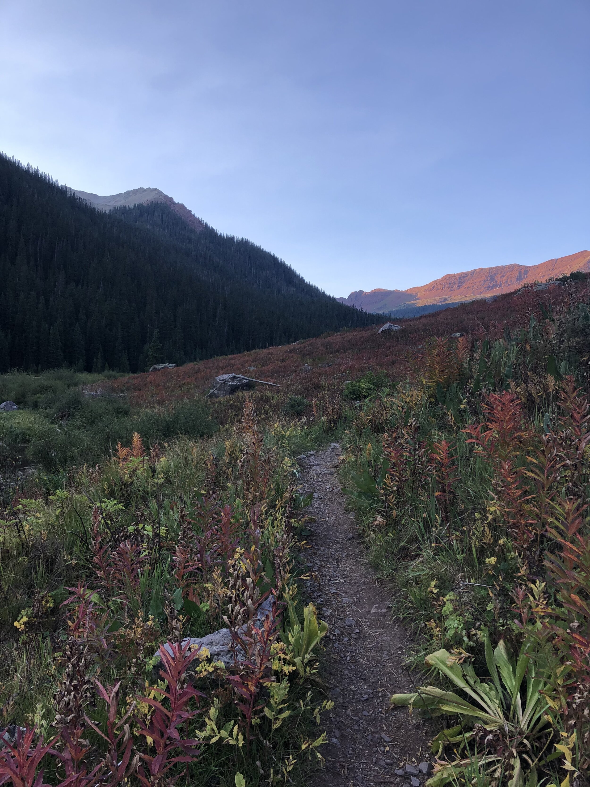
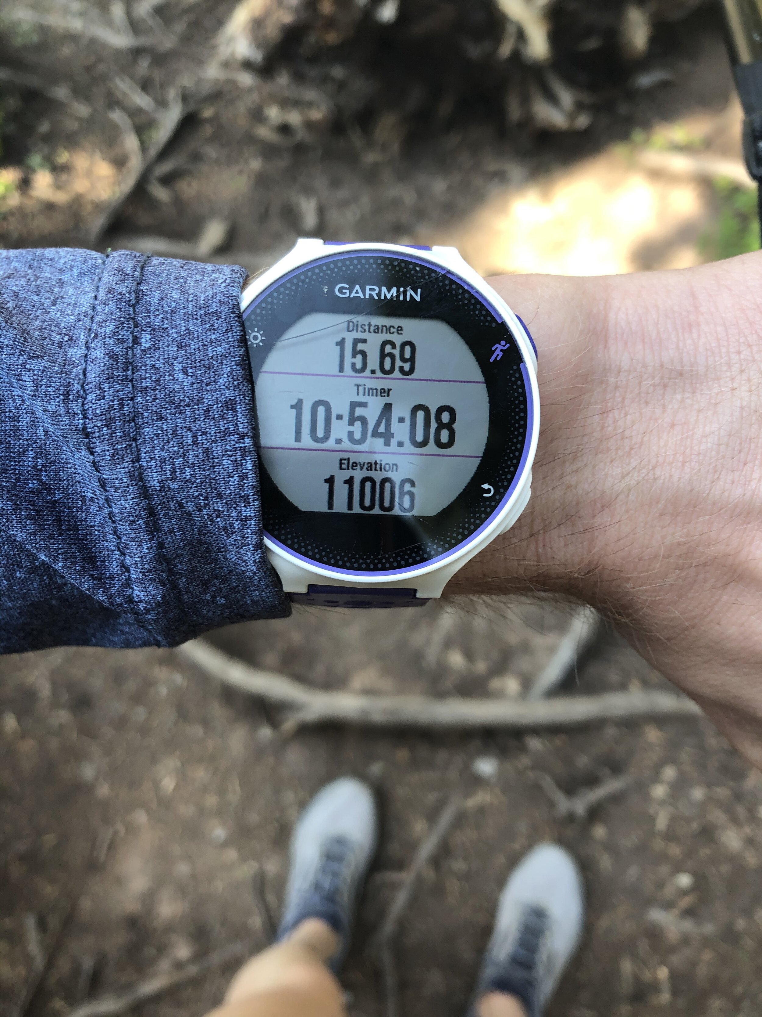
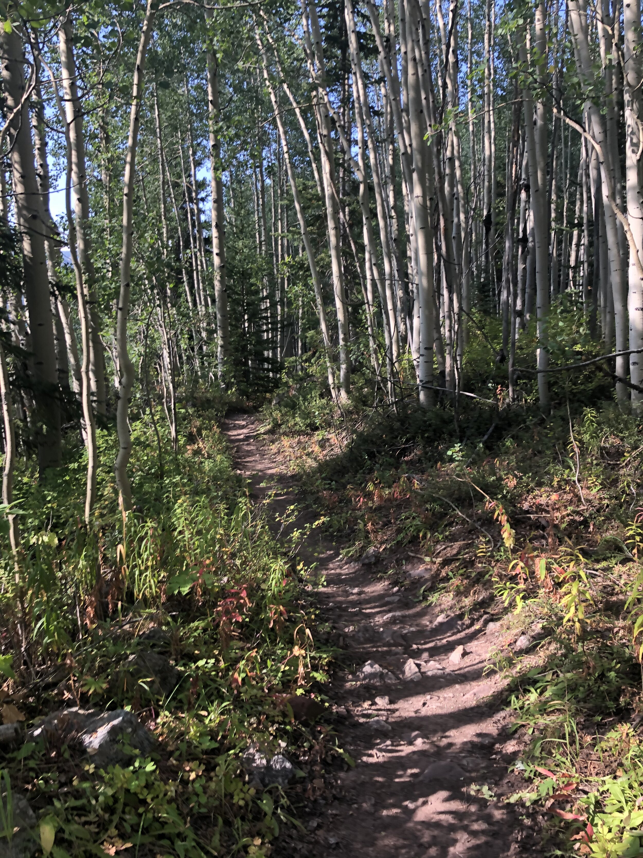
I got back to the log bridge that I crossed to officially make it to Snowmass Lake on the way up at 15.69 miles/10 hours and 54 minutes. It took me just over 4 hours to get to this point on the way up; however, I knew it would be much quicker on the way down because I WASN’T GOING TO GET LOST AND TURNED AROUND THIS TIME. Here are various pictures from the descent until I got back to my car. Some are prettier than others…we all know which ones those are :D.
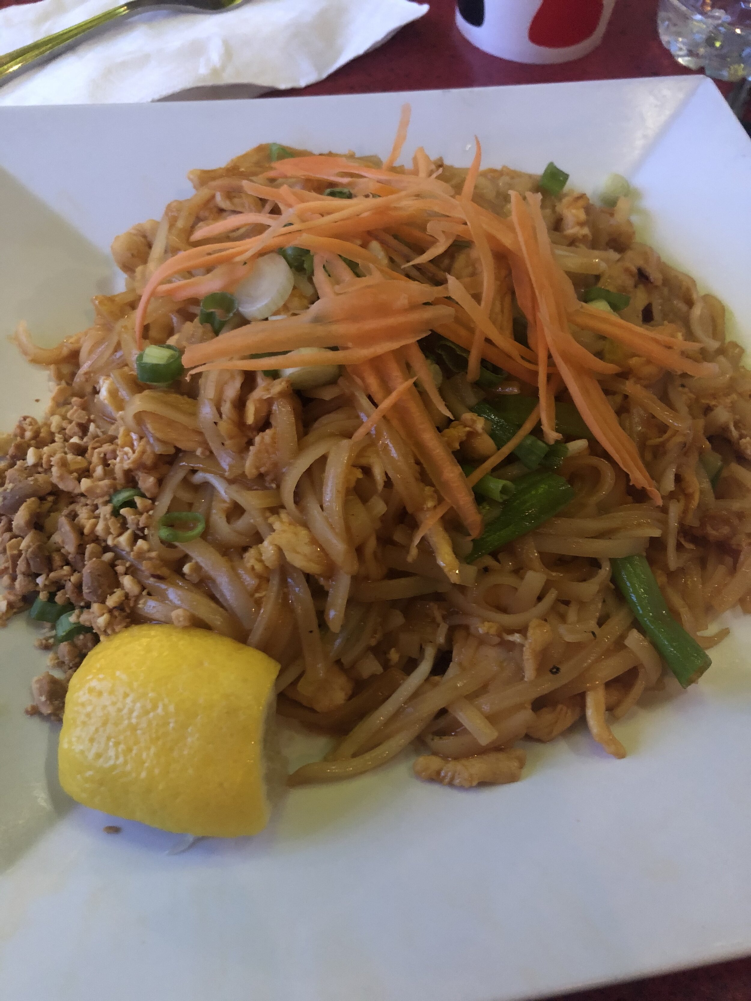
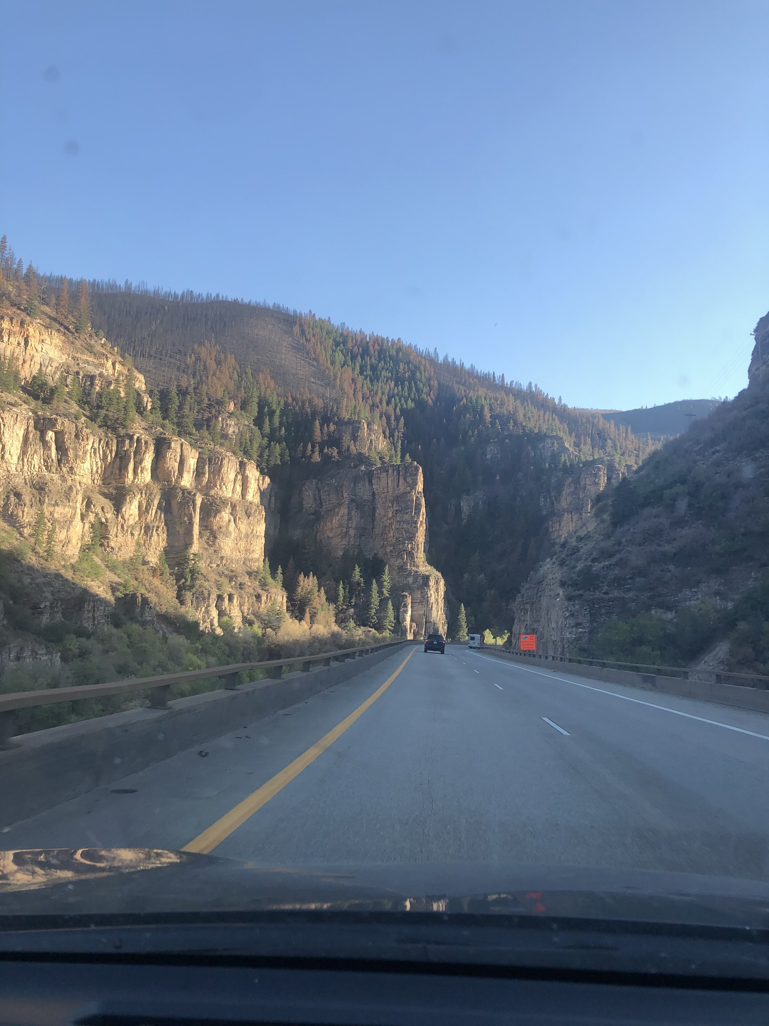
13 hours and 53 minutes/24.27 miles later, I FINISHED SNOWMASS MOUNTAIN. Can’t you see how happy I am in the kristin selfie picture below?! I finished a little bit after 6pm. Time for a long drive back! The day before, I took the route through Breckenridge/Glenwood Springs. The route through Aspen/Independence Pass was almost an hour quicker it said on Maps, so I took that route instead. I stopped at this Thai place in Aspen and demolished some chicken pad thai! It was very good…I got it 8 days earlier when I was up in Aspen! I got back to the Springs just before midnight (11:54 pm) and ate my second dinner at like 12:30am lol. Long day, but I am very happy that I did it! In terms of physical exhaustion (not peak technicality), I really do not have many long days left…whenever I finish the 14ers, we’ll see. I originally was not going to hike this weekend for a break since I’ve been knocking them out all summer and it has worn me out….(but its still super fun because I got competitive against me, myself, and I with them this summer). The weather was too perfect not to do Snowmass, so I did it. YAY.